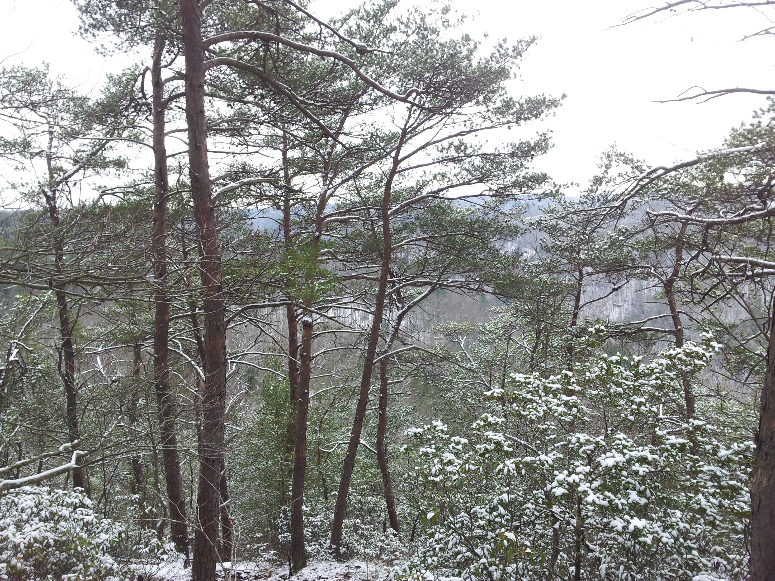
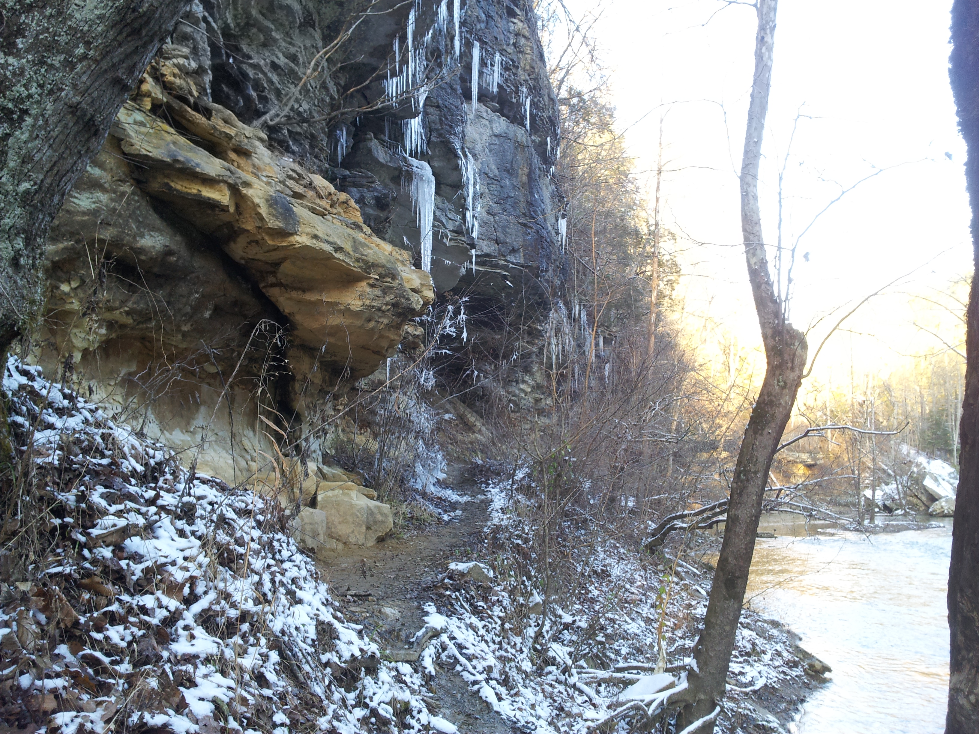
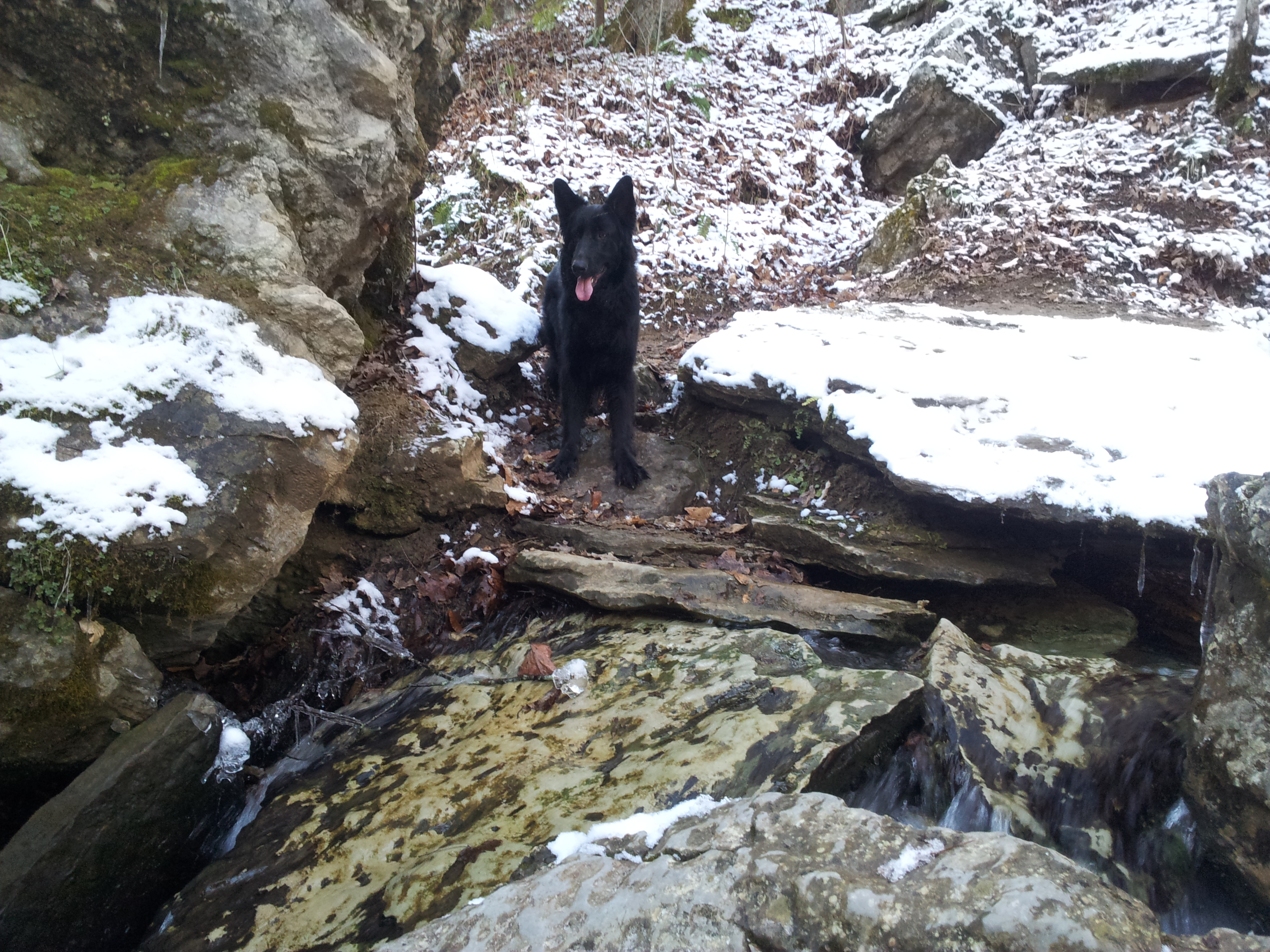
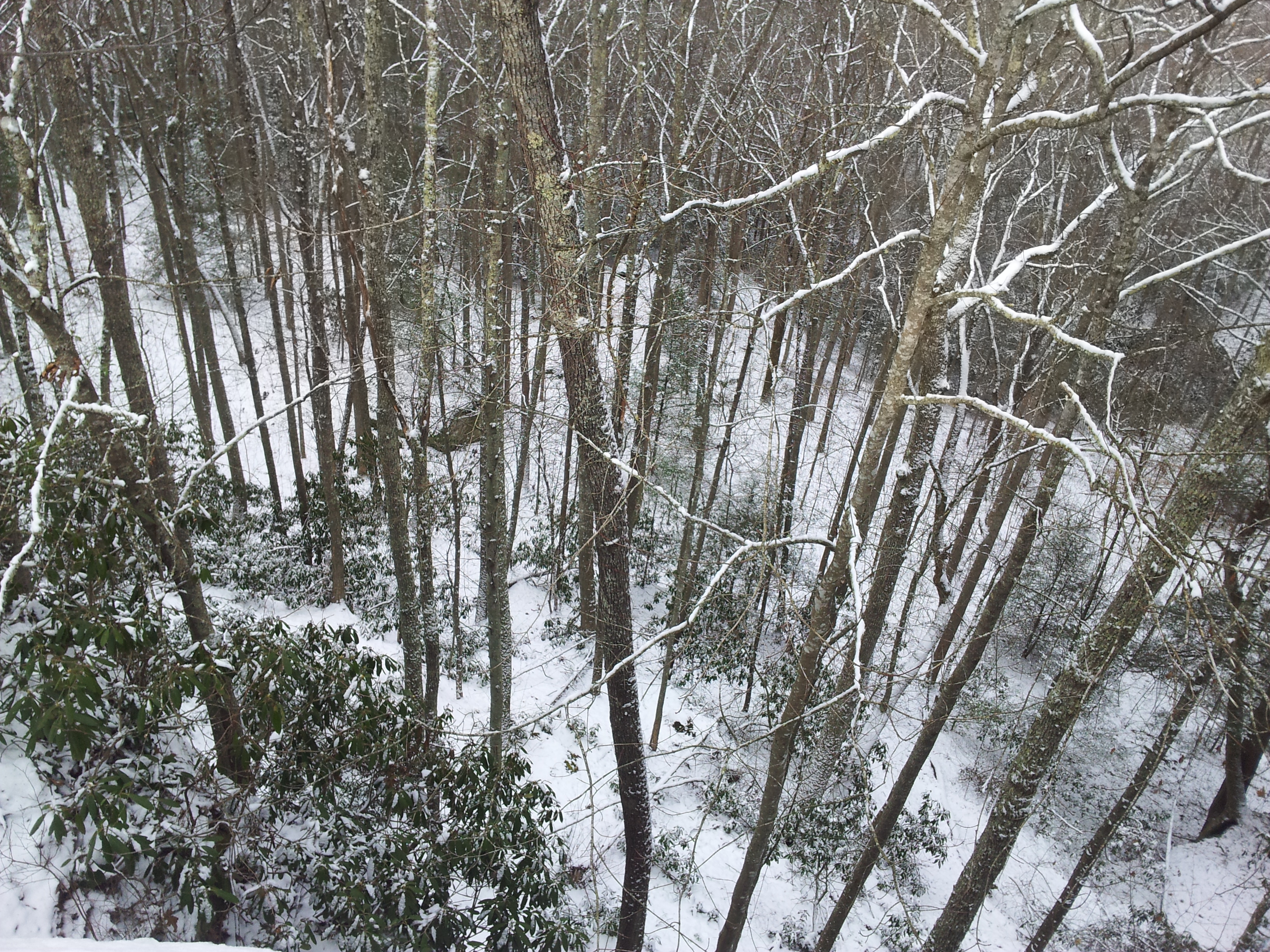
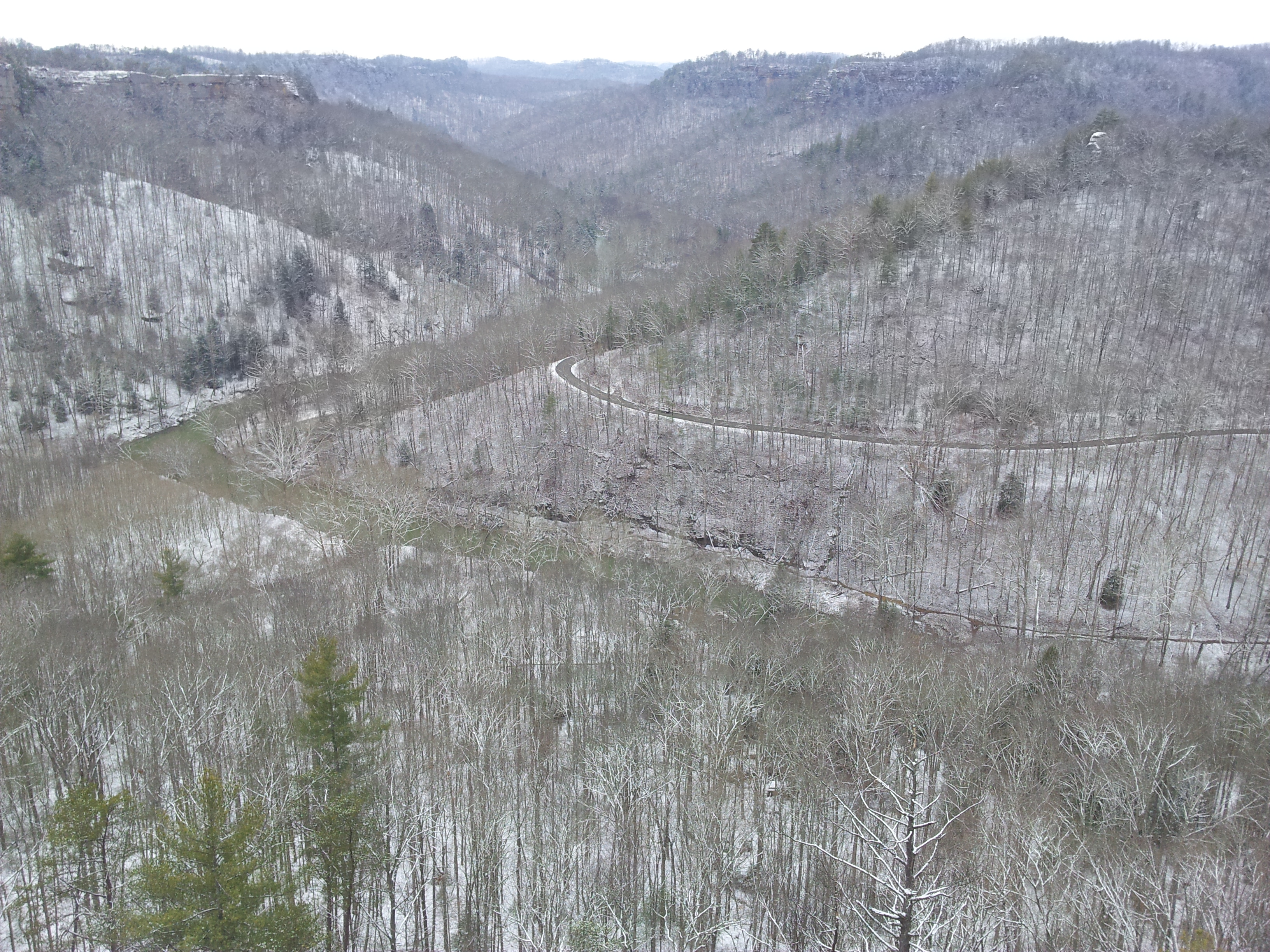
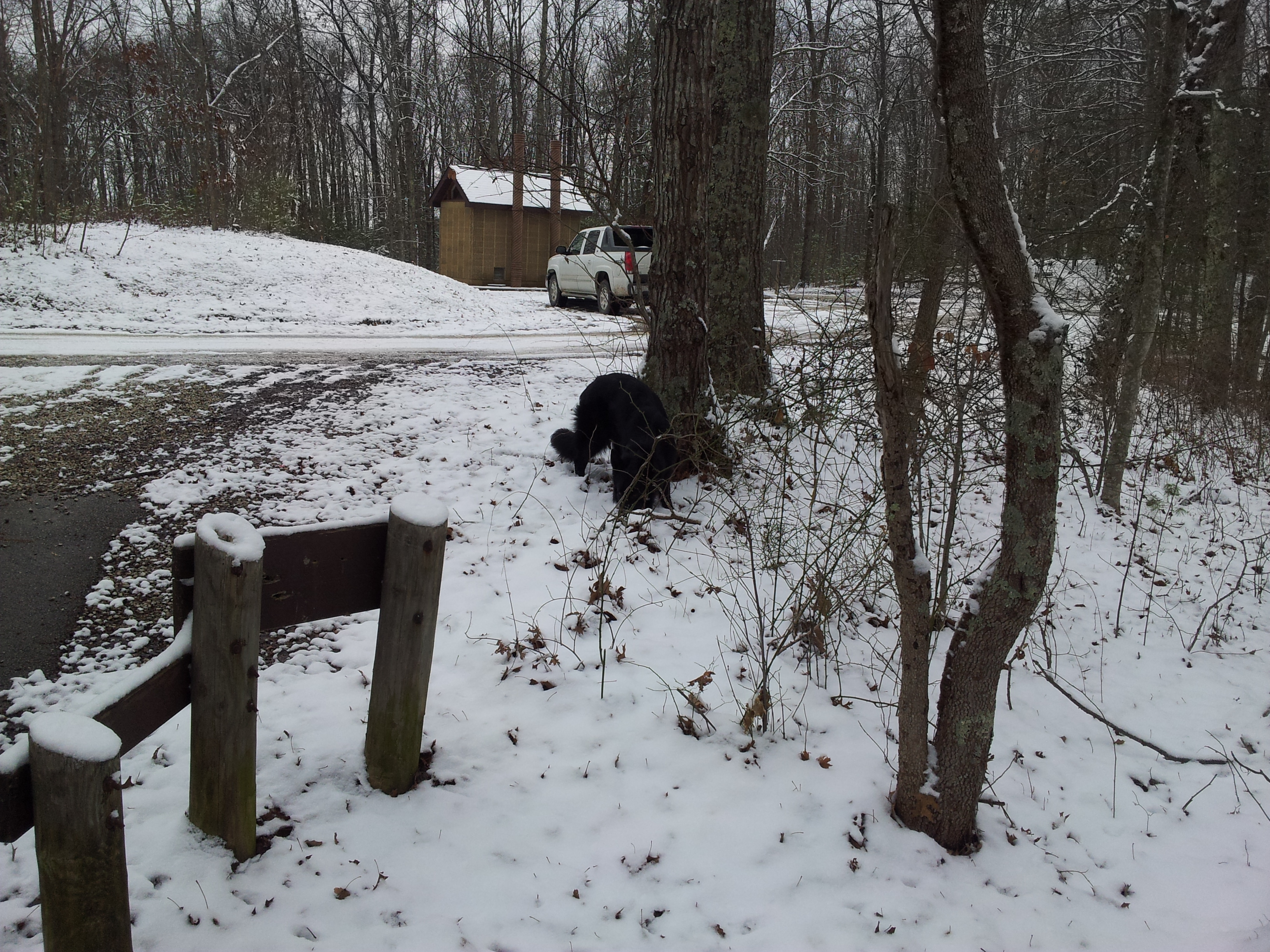
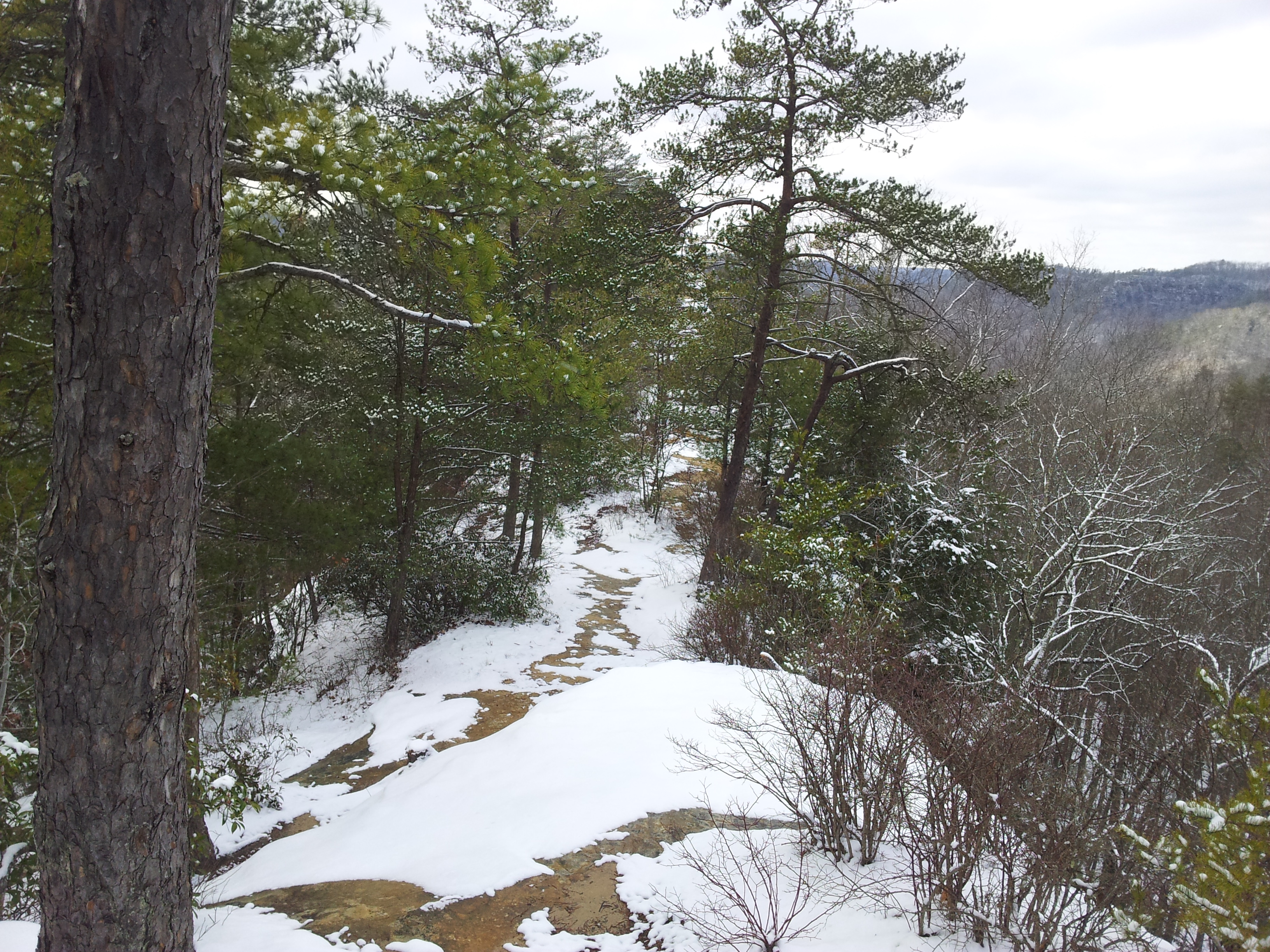
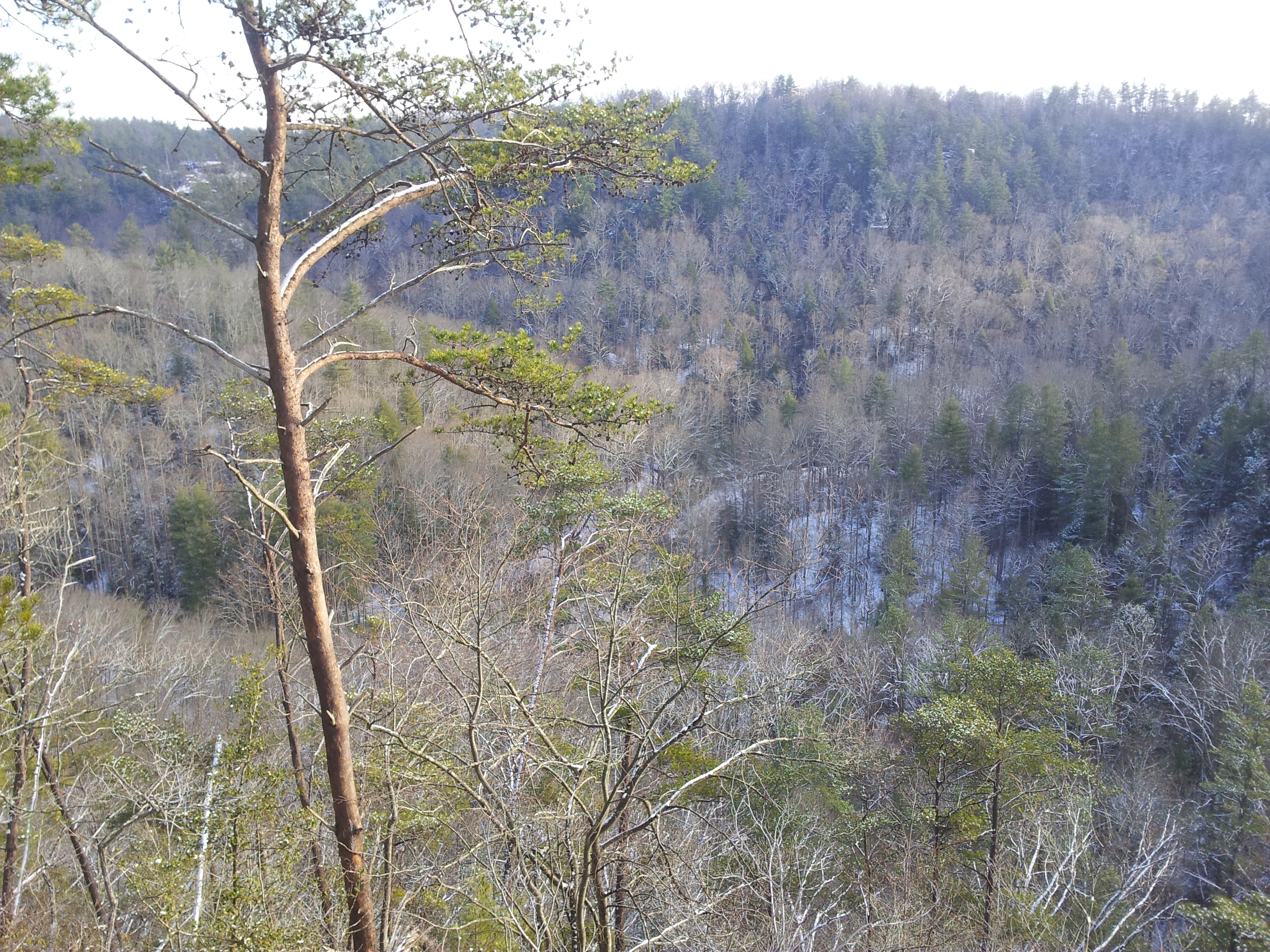
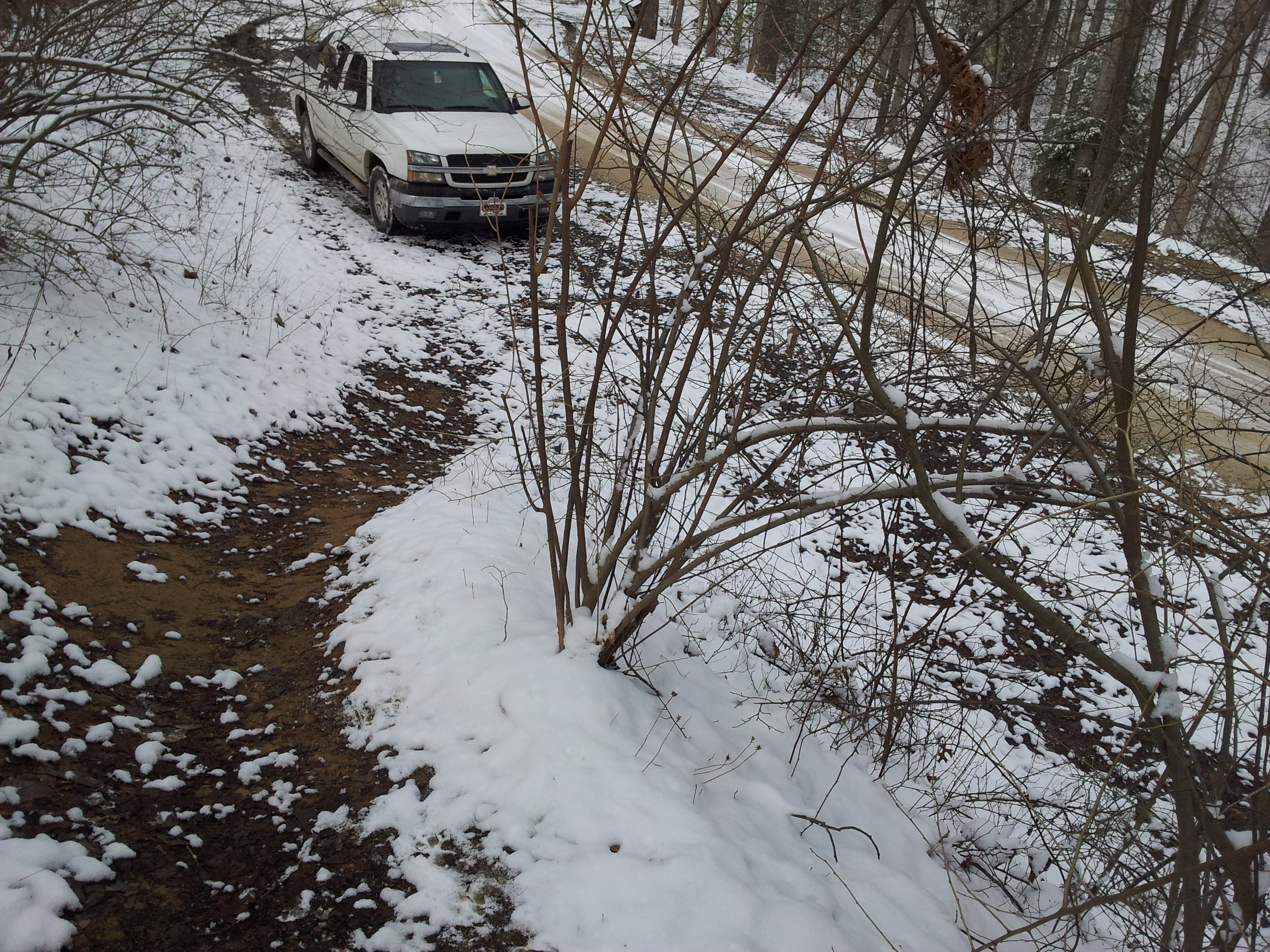
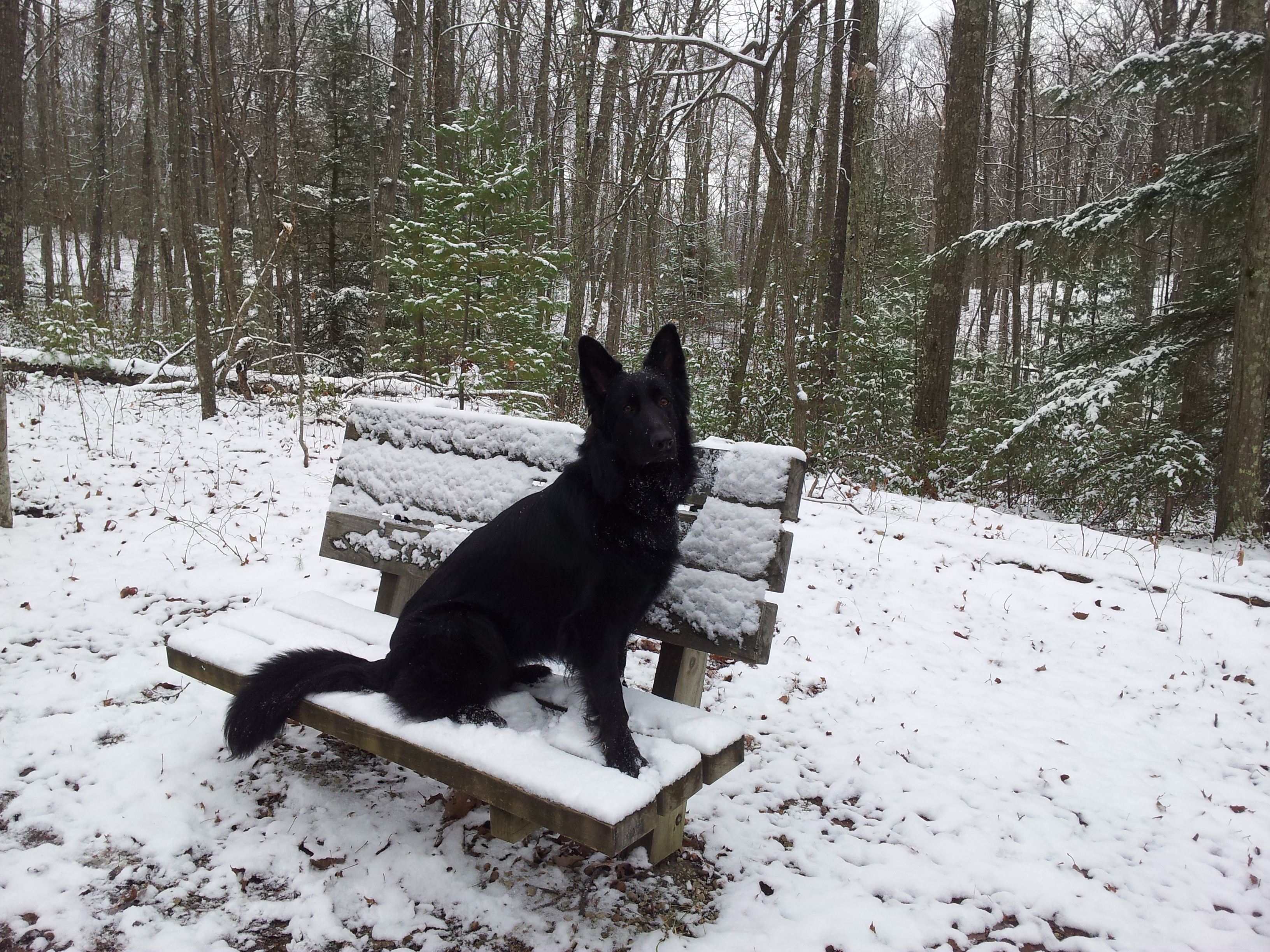
This blog has been long overdue for cleaning, and with discussion based classes kicking into gear its going to see quite a bit of mileage soon. Housecleaning includes unused media files, and oh boy are there plenty! One of the first items I discovered was a huge pile of photos acquired 2015-01-12 while taking a GSD named Cammy out for her first Winter.
Regardless of what some Winter haters may tell you, big snows in Kentucky are pretty rare and usually concentrated in a small area. I thought catching a good one in the Red River Gorge was lighting in a bottle, at least until the blizzard of 2015 blew it away, and the blizzard of 2016 blew THAT away. Alas, it looks as if 2017 will bring no such luck.
In any case, here are the shots. Better five years late than never, ne?
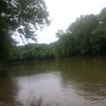
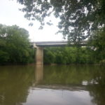
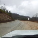
Around ten years ago, I was reading a topo map and decided it would be a good idea to run the length of Route 32 from Morehead (locally known as Christy Creek) to its terminus in Louisa. The unusual hook and touring through a somewhat isolated section of the Little Sandy River Valley had caught my attention.
Louisa itself also had an attraction for me. There lies the head of The Big Sandy River, created from the combined waters of Tug Fork and Levisa Fork – both having their roots deep in the storied peaks of Appalachia coal country. Sighting river features is just an old silly hobby of mine.
So, given a free afternoon, that random idea popped up and off we went. Well evening really. Got a very late start and didn’t even hit the green flag till ~17:00.
End result? Road ran, rivers found, pictures taken, train dodged, and even made a new canine friend in the next state. Not a bad Independence Day ride I’d say. Until next time!
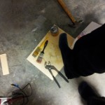
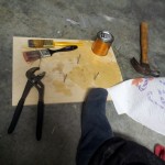
I have been asked on several occasions what I take out with me for hiking trips, and given that a written checklist always helps prevent forgetting something important, why not kill two birds with one stone and post here?
Everyone will have their own opinion of being over or under-equipped. Personally, I think if you are wearing ten belts, frame pack, and swamp boots with your army BDUs for a walk through the local park you’ve probably been watching too much Discovery Channel. That said, setting foot into the woods without some modicum of emergency preparations is fool hardy at best. Balance is the key.
On achieving that balance, years of direct experience and observation have left me with the opinion that ~20lbs is a good total weight limit for day trips. When distributed properly this affords a person of average stature (yours truly) their full agility. And it’s more than enough to equip yourself for any reasonable emergency or forced overnight stay.
The following is a list of perfunctory gear I take no matter how short or long an excursion. Some of the items I have never and hope to never use but consider an obvious necessity, others have been added or discarded through trial and error. Again, everyone will have a differing viewpoint on what is or is not necessary – this is merely what I find best for my own uses, and is likely to continue evolving.
Considerations
Entire kit should withstand any reasonable shock, temperature change, tensile strain, and submersion without being compromised.
Kit should be compact and balanced to afford wearer’s full agility. There is little point in bristling with random equipment that serves no purpose other than to snag on obstacles and weigh down the wearer. This go double for protruding loops, straps, and bulges.
Protect the wearer.
General comfort in varying conditions.
Help avoid incidents.
Provide physical protection to mitigate injuries when incidents do occur. Obviously it isn’t feasible to armor one’s self from head to toe. It is however certainly possible (and necessary) to protect areas like hands, wrists, feet, head, and back that are commonly injured during excursions.
In the event of an emergency include provisions for following:
First aid up to and including treatment of deep wounds or setting splints.
A stay of up to 24 hours with considerations for exposure, food, and water needs.
Means to signal rescuers and aid in location/extraction of wearer or others.
Basic clothing
Multiple layers to allow maximum ranges of temperature and weather tolerance. Inner layers should be skin tight keep out insects, plant seeds and other irritating dander but breathable and wick away moisture.
Head
Basic bandanna.
Upper Body
Under armor “skin tight” moisture removing athletic shirt.
Add layers of undershirts as needed for extreme cold.
Loosely worn sleeveless cotton shirt.
Insulated “Frogtog” waterproof jacket tied as second belt.
Lower Body
Swim trunks worn over tight undergarment.
Explorer’s shorts.
Heavy leather belt (belts should always be secure and capable of bearing wearer’s weight in an emergency).
Survival bracelet – attachment point, “free” rope if needed, and a handy third hand.
Water & shock proof watch w/compass – Electronic aids can fail, so it’s always important to have mundane navigational aids.
Pocket storage.
IPX7 grade night vision binoculars.
High intensity LED flashlight – Always carry lighting and a couple of back ups.
Belt Mount
*1 5” Carbon steel hunting knife – The most basic all purpose tool. You simply don’t go outside without one.
*1 “Tinkerer” model Swiss army knife – You’d be very surprised how often you’ll find yourself in need of screw drivers, pliers, tweezers, hole punch, scissors and other basic tools. This is the smallest model of knife available that carries both pliers and scissors in one unit.
*1 S&W Bodyguard .380 Pistol w/laser sight – I’m not steeping foot into the woods or anywhere else without some means of defending myself. This is also a powerful last resort noise maker, and cartridge propellent makes a workable emergency fire starter.
*30’ knotted rope; 250lb capacity – One day good rope is a convenient way to access something out of reach, the next it can be a literal life saver. Knots and water reduce tensile strength, so check and replace as necessary.
*1 Osprey Manta 36 Hydration ready daypack: Three liter water capacity – Hydration is your best friend. Three liters is more than plenty for a day trip, but it doesn’t help if you don’t actually drink any. It’s easy to forget and dehydration happens quickly. Little sips through the day are better than waiting until you’re thirsty and gulping down. Hydration packs are a handy and reliable source of water, but make sure you learn how to filter more just in case.
Whistle w/thermometer and compass, mounted on shoulder strap for quick access – If something happens shouting is a serious waste of energy. You might not be able to at all, and even if you can human voices don’t travel far – especially in hilly country. Always have quick access to a noise making device.
ACR Personal Locator Beacon – At ~400.00 this is the by far the single costliest item I carry, and what’s more it will likely never see use. But if ever needed, the cost will be more than justified. Personal locator beacons are a last resort device to call in the cavalry. When puchased, the beacon is regestered with NOAA. In the event of an activation, national authorities will attempt to reach the listed emergency contacts and immediately order local teams to begin rescue operations. When activated, the unit sends a broadcast signal to satellite networks monitored across the globe. The broadcast includes GPS coordinates, and can be triangulated to within a small area even without them. It also sends a local transponder signal that rescue crews can follow directly to the beacon’s location. As might be expected, the unit itself is extremely resilient to virtually any condition and once activated will operate for ~week. As also might be expected, activating the unit is an absolute last resort, as any broadcast is considered an immediate life and limb emergency. The chances of such an emergency occurring are extremely slim – and frankly anything that severe would probably kill me outright. Still, it’s a nice peace of mind for my family if nothing else. If you are taking on truly dangerous contry, or like me tend to explore randomly and alone – it’s something I’d highly recommend.
*1 Compressed first aid kit (clean wipes, ace wrap, astringent ointment, and Mylar emergency blanket) – Keep this spartan to save weight and space. Bumps, scrapes, and bites are all you’re likely to get, and aside the most important universal treatment by far is to keep injuries clean and dry, so that’s what you want to equip yourself for. Anything else you can improvise (ace bandage + stick = splint) or is too serious to effectively treat in the field. Instead concentrate on getting yourself out safely. If self extraction is questionable, that’s where the Mylar comes in. Don’t risk it. Wrap up in the blanket to conserve heat and prevent shock, grab your PLB and call in the cavalry.
*2 Dry sack kits – Dry sacks are cheap and effective. You can get them in bulk at any outdoor store. I recommend Velcro closures.
Food kit – Snack constantly throughout the day rather than eating heavy meals. Nuts are a near perfect trail food. They are calorie dense, easy to pack and eat, are impervious to temperature extreames and if kept dry will preserve more or less indefinitely.
Assorted nuts and dry fruit.
General supplies.
Phone.
I highly recommend installing a self contained (i.e. does not require connectivity) mapping application. My personal choice is Back Country Navigator Pro. Make sure to download maps of general vicinity before leaving for trail area, check accuracy against local topographical maps on arrival, and and set step tracking mode once on trail.
Charge fully, enable GPS location, activate power saving feature if available, and turn on airplane mode. This will greatly extend battery life while allowing mapping application to operate. Make note of last location on mapping app and shut down fully if battery drops below 20%.
Fire kit – Do I really need to explain how important it is to have fire making tools?
Matches.
Tender.
Windproof lighter.
Standard lighter.
Emergency cash in small bills.
Handkerchief.
Note kit.
Pencil.
Notepad.
Billfold.
Other assorted supplies.
*1 LED stick lantern.
*1 Stainless steel hatchet. Hatchet is placed lengthwise inside kit with water pouch to act as a “free” frame and force distributing back brace in case of a fall (I’ve had a couple). That tiny extra bit of protection can mean the difference between walking away or never walking again.
*1 “Predator” safety helmet.
*1 GOPRO HD camera.
Neck
*1 LED headlamp (make sure strap can break away if snagged or tangled).
Pop quiz, what’s the best way to bribe a normally well behaved but cripplingly trypanophobic youth into cooperating with immunizations?
Candy?
Ice Cream?
Toys?
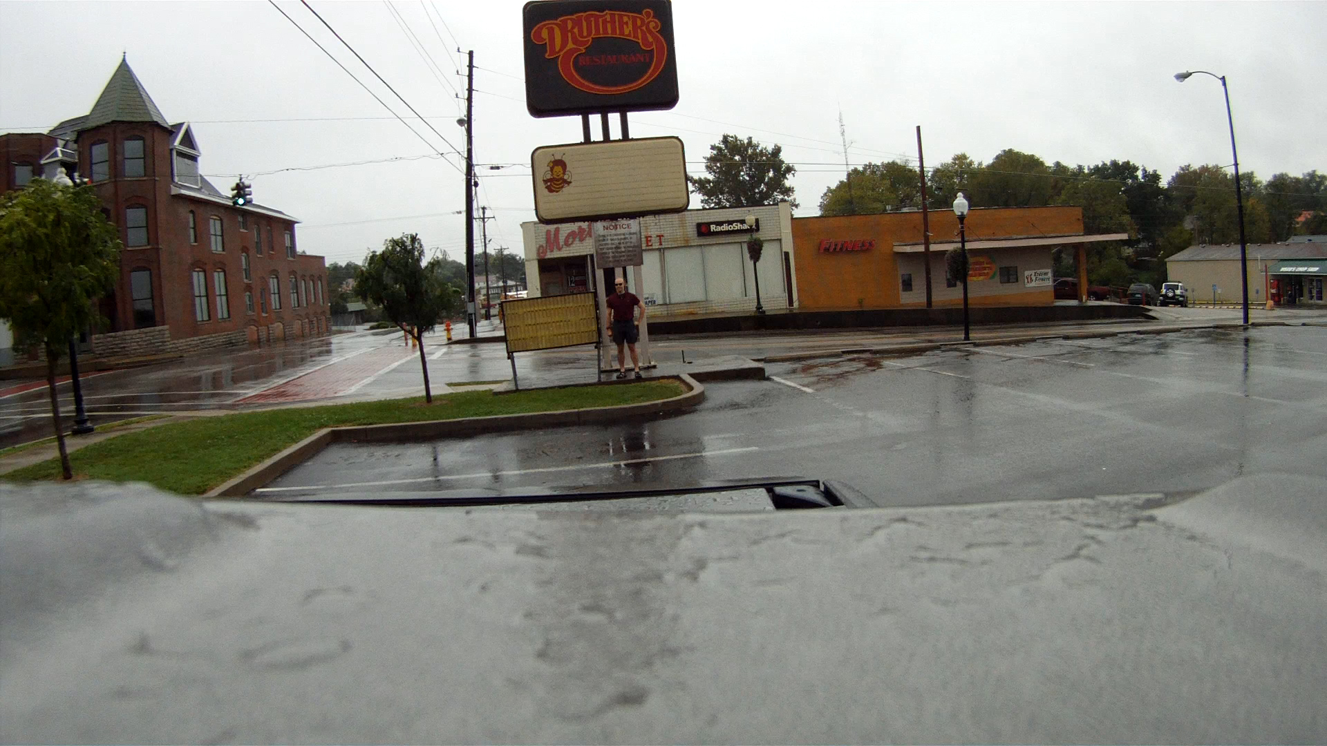
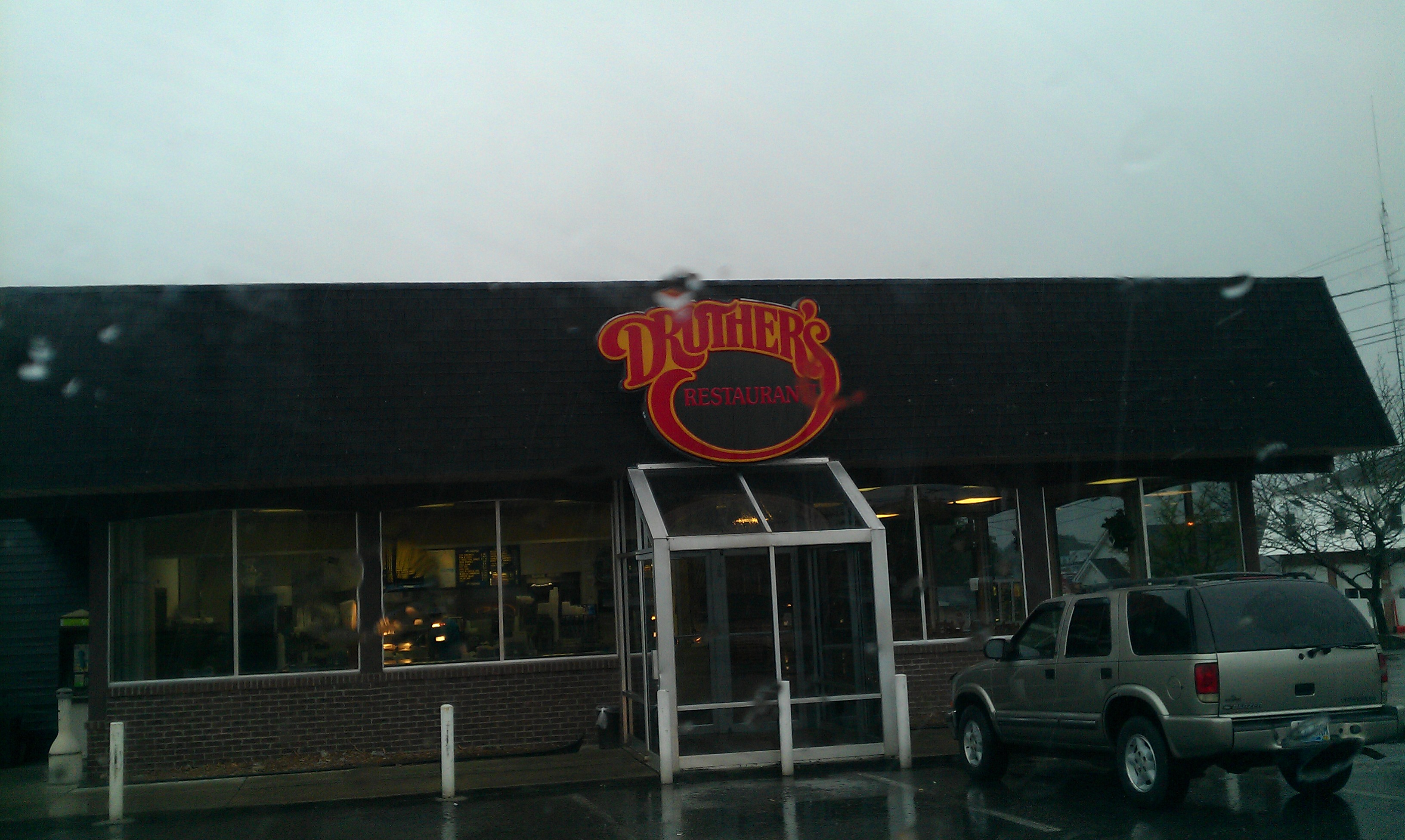
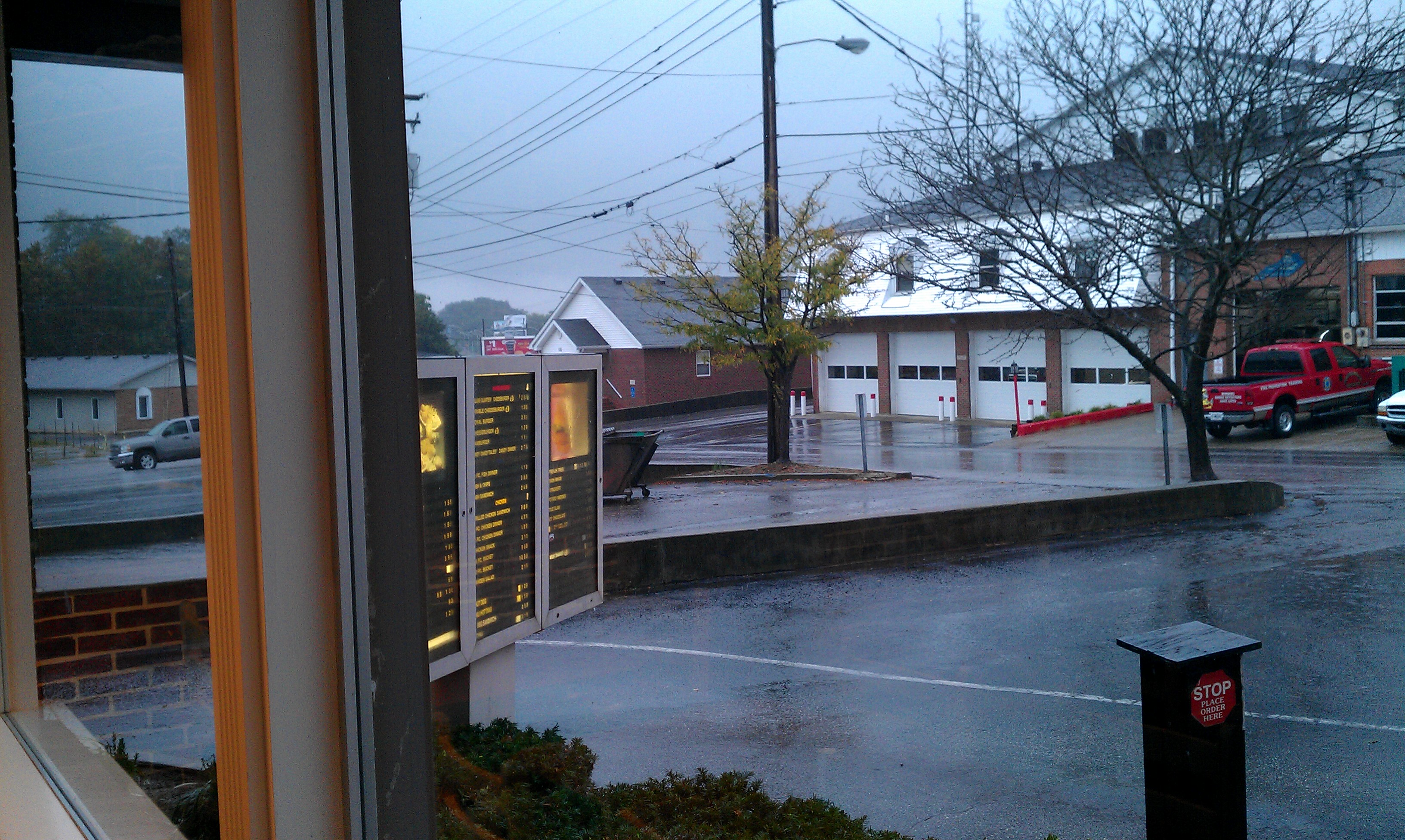
Yeah right. I can proudly say my wants were not so provincial, even then. Oh but I did have my weakness, and my mother knew it all too well. A chicken dinner from Druthers? SOLD.
Fast forward a few years, and I bet most of my contemporaries from Morehead will have similar memories to my own – like walking over from middle school to grab some “Crispens” for $0.59. Not even Long John Silver’s had the audacity to charge you half a dollar for leftover grease scraped out of the fryolator. No, only Druther’s could be so bold.
Unfortunately all good things must come to an end. Starting in 1989 and continuing through 1992 nearly every Druther’s restaurant was converted to Dairy Queen or shut down outright, and at least for most of us Druther’s disappeared off the map. An interesting note is that the Druther’s holding company (Druther’s Systems Inc.) never went anywhere and in fact retained ownership of most converted locations until the mid nighties.
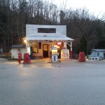
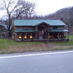
In any case, a few of the franchise owners (mostly in central/western Kentucky) purchased their respective locations from Druther’s Systems and continued to operate. Sadly though, only one of these independent operations remains: The Campbellsville Druther’s.
After learning all of this, I had long decided a pilgrimage should be made, and today seemed good as any. I’d just as soon forget the last few weeks, and what better to clear one’s mind than a road trip?
What I found was a throwback that isn’t just holding on, but going strong. The staff was openly amused by my touristy antics, and as I sat down to eat the manager even came out to meet me – he was quite curious to hear my “Druther’s Story”. He went on to explain that quite a few people come from far off places just to visit the last Druther’s hold out. How cool is that? It also makes one wonder why Druther’s Systems was so willing to throw a great business model away. By all appearances it had worked fine all the way back to the days of Burger Queen (Druther’s original name FYI). Guess we’ll never know.
For those who have never been to a Druther’s, I lack the writing acumen to really bring such an oddity to life. Instead I would best describe it as a bizarre melding of your favorite breakfast spot, a local greasy spoon, and KFC. It’s neither sit down nor fast food, occupying an odd niche in between. Throwing out the nostalgia filter, is it really worth a two-hour trip? For most people I’d probably say no. Still, the food was good, the service excellent and were a Druther’s nearby I would certainly frequent it often. It’s definitely worth a one time visit for memory sake, or to try something unique on a weekend afternoon. They will certainly be seeing more of me. Two thumbs up for simple pleasures!
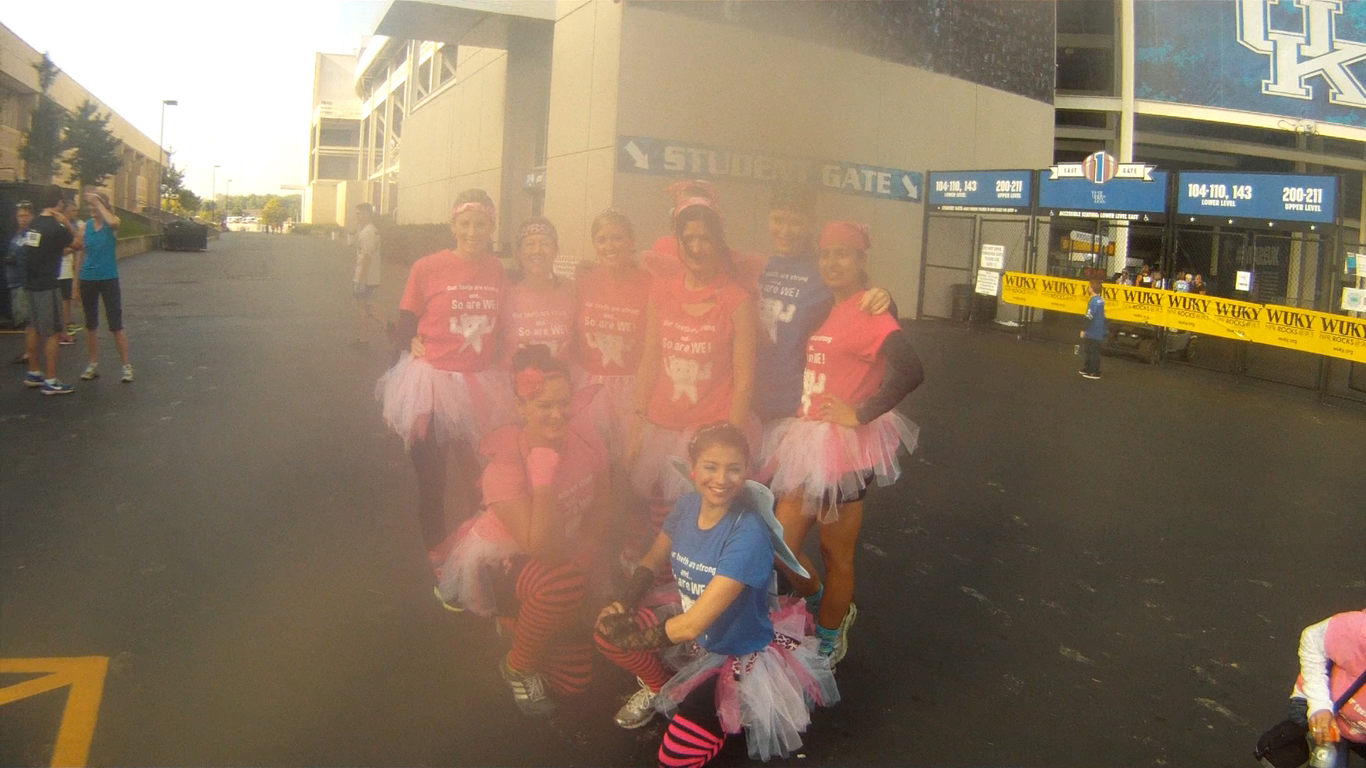
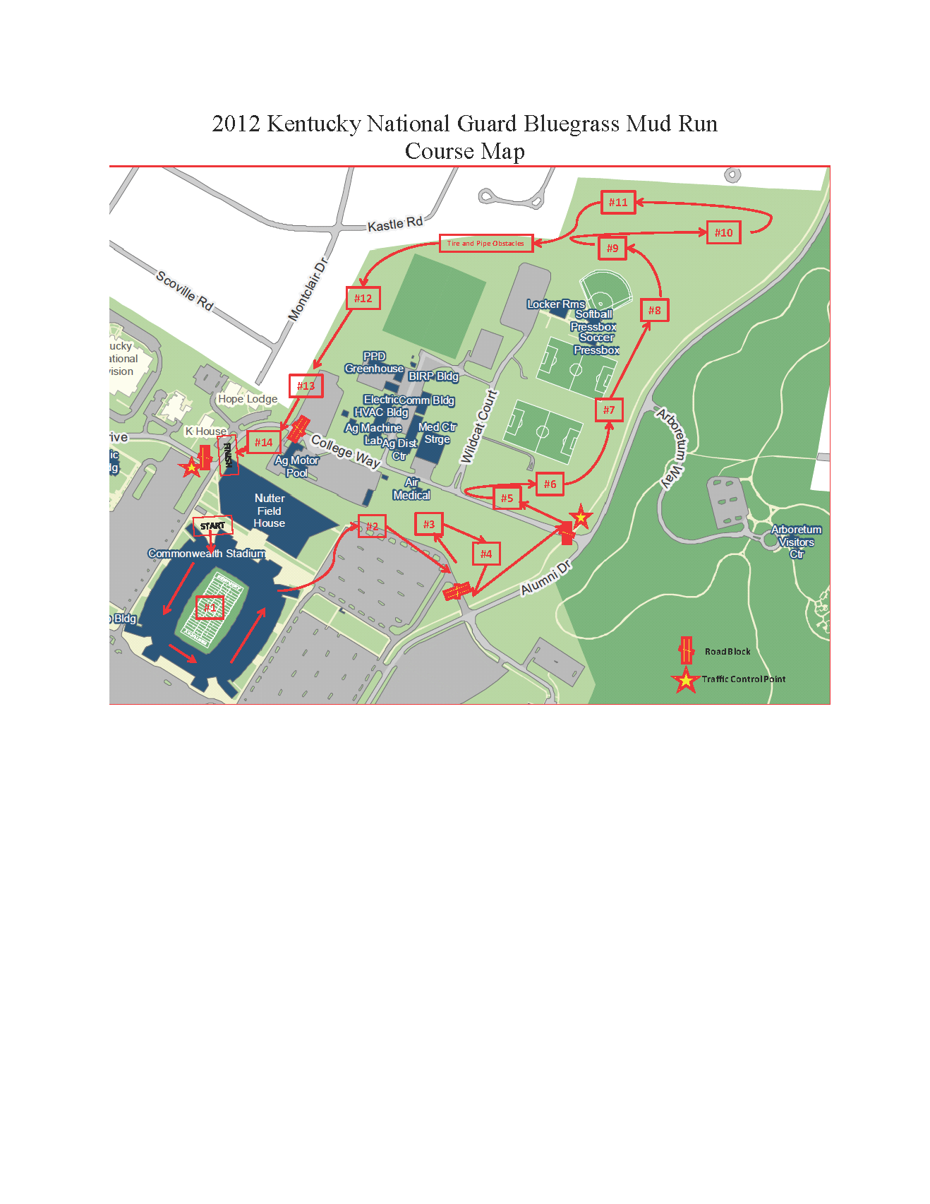
I’ve always loved fitness, exploration and outdoor adventure. Even so, I haven’t strapped on numbers and participated in an organized sporting event since high school. It was high time to change that, and The Inaugural Bluegrass Mud Run was a perfect opportunity.
In my usual fashion I lost track of dates and almost missed it until a friend reminded me they too were participating – I just managed to get signed up a day before the event. It was a blast from start to finish, and the entry fee going to support local charities makes the whole thing even better.
Naturally, the GoPro camera came along, and with it a full POV. Want to see what it’s like to run a military inspired obstacle course without getting yourself dirty? Well, here you are…
It’s been a while since I logged any adventure in my adventure section hasn’t it? Far too long I think. Of course, it’s a bit difficult to record things on a broken blog, and boy was it. That is now fixed. The next step is to actually have something to add. Problem is I’m not really all that great at getting “backlogged” adventures up, and for a couple of weeks I haven’t had anything new to contribute.
As it happens some wackiness a few weeks ago (that I’ll hopefully get posted, but probably not :P) resulted in someone asking me nicely to “be more careful with myself” as it were, which in turn really puts a damper on random exploration. Believe it or not I didn’t mind a bit; it was probably the first time anyone had shown me honest concern instead of some smarmy “don’t go die!” derision. The whole thing came from WAY out of left field, but I still found it heart warming and so was willing to comply. Ultimately though it turns out said concern (along with many other things) was a complete farce. Obviously when I figured that out any agreement was immediately null and void. Depressing to say the least, and not something I want to divulge all the details about publicly. But hey, at least I’m free to do my thing again right?Edit: Or not? Time will tell, but perhaps I made a hasty assumption. Communication is key.
Sooooo, blog fixed, freedom restored. Nothing left but to recover my full strength and find something to do with it. 🙂
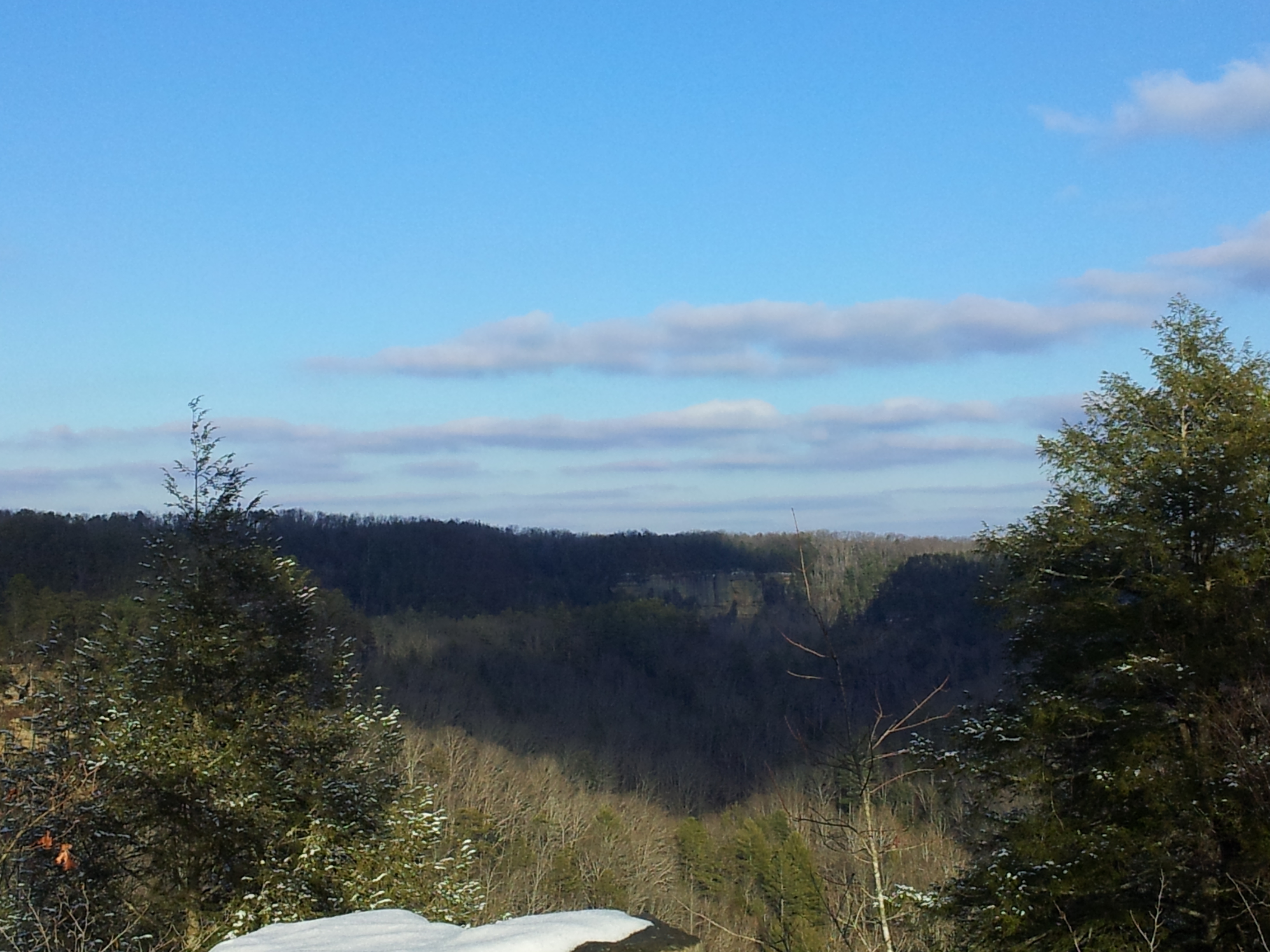
That something took the form of a second trip up the Dix River to get better photographs of the dam apparatus. On my previous trip I did not have the necessary camera equipment needed to get worthwhile photos. A little high def GoPro video augmented by some 8MP still shots would fix that right up. Or at least, it would have if I could learn to leave on time. I didn’t get to the dam until well after dark, and as anyone else who uses a GoPro can tell you, the one flaw they have is needing an abundance of light. Ahh well, at least I still got to see it for myself. As an added bonus, the darkness gave me an opportunity to climb around for some up close & personal looks at the pen-stocks, dam structure and a few other nick knacks.
Sadly I did not run into Dan this time, making it just a Dam, & Dix trip. Would have liked to chat with him again, but since I still need photos I’ll be back soon enough. Maybe next time.
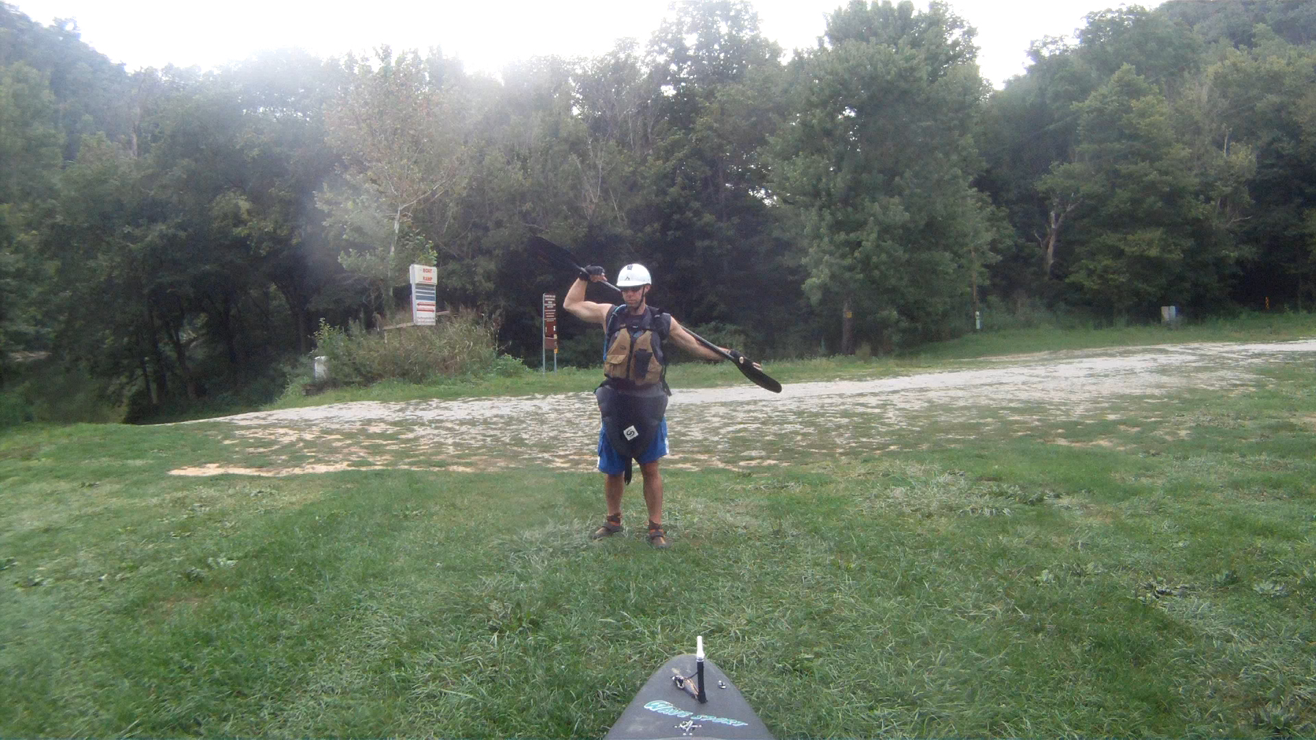
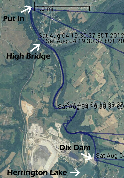
Here is the footage I did take, along with a route plot. The video runs from put in to just about the first rapid, at which point I turned the camera off since it was obviously not going to record much else from that point. Just for extra fun, the sensors in my GPS went awry a bit (just a tiny bit) sending my plot on a 21,000+ mile detour; averaging over 5000kph! Now THAT’S some paddling!
Yours truly stretching a bit before putting in.
Clearly a sensor error occurred at 19:30, but the actual route is easy enough to discern.
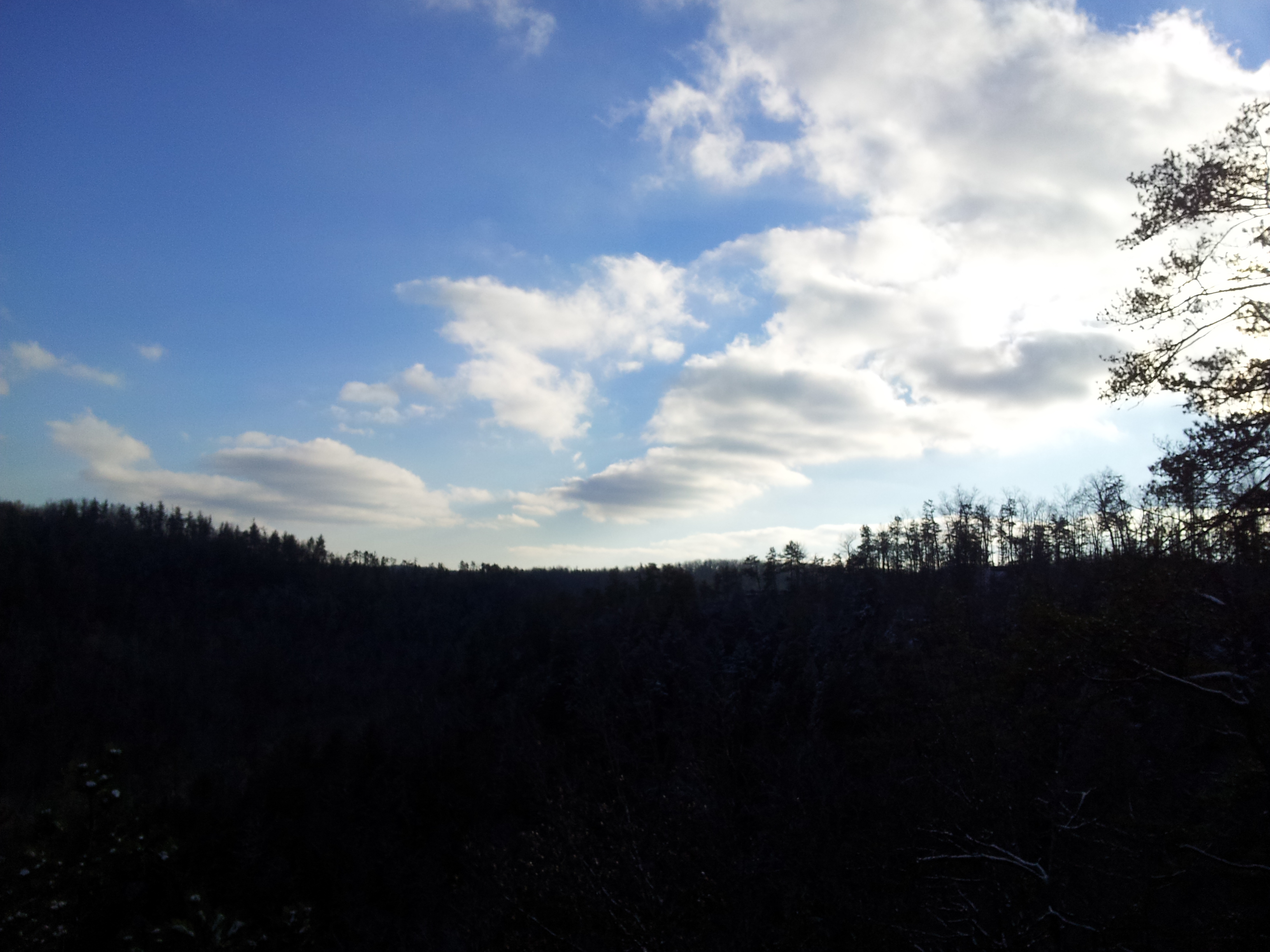
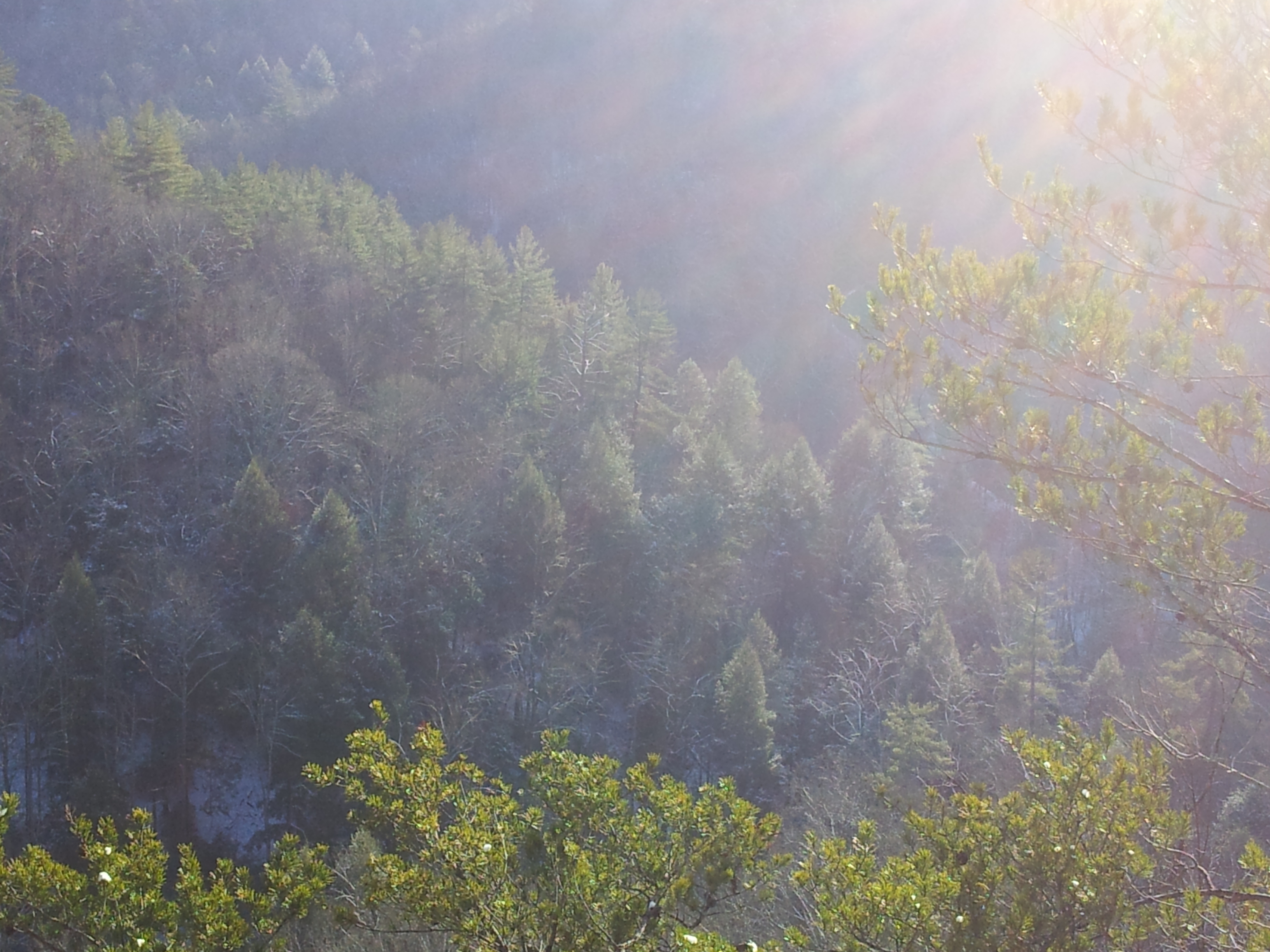
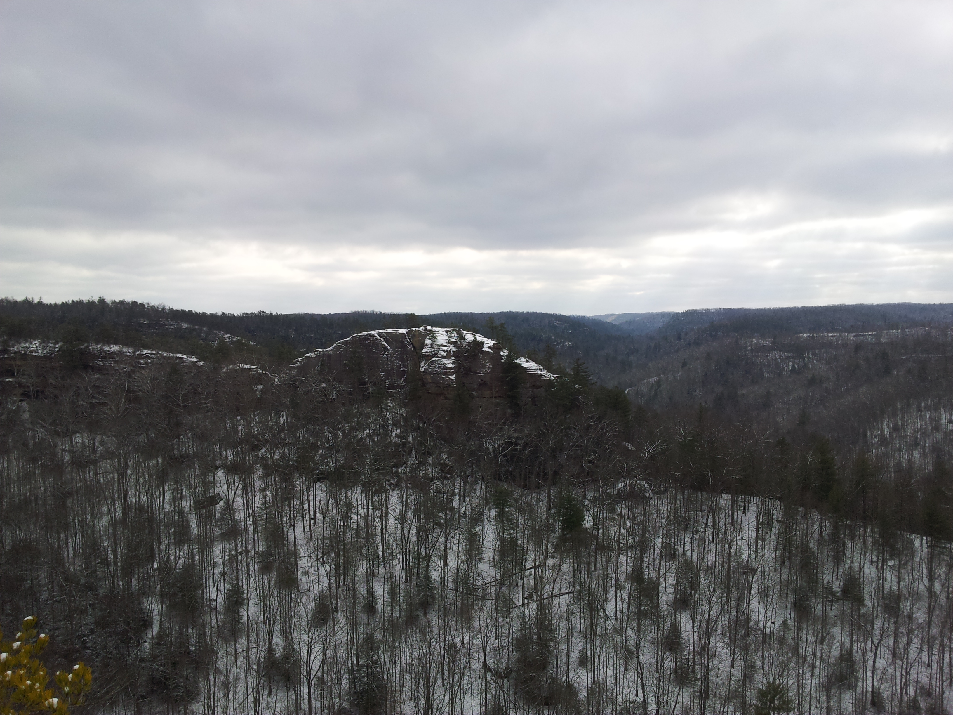
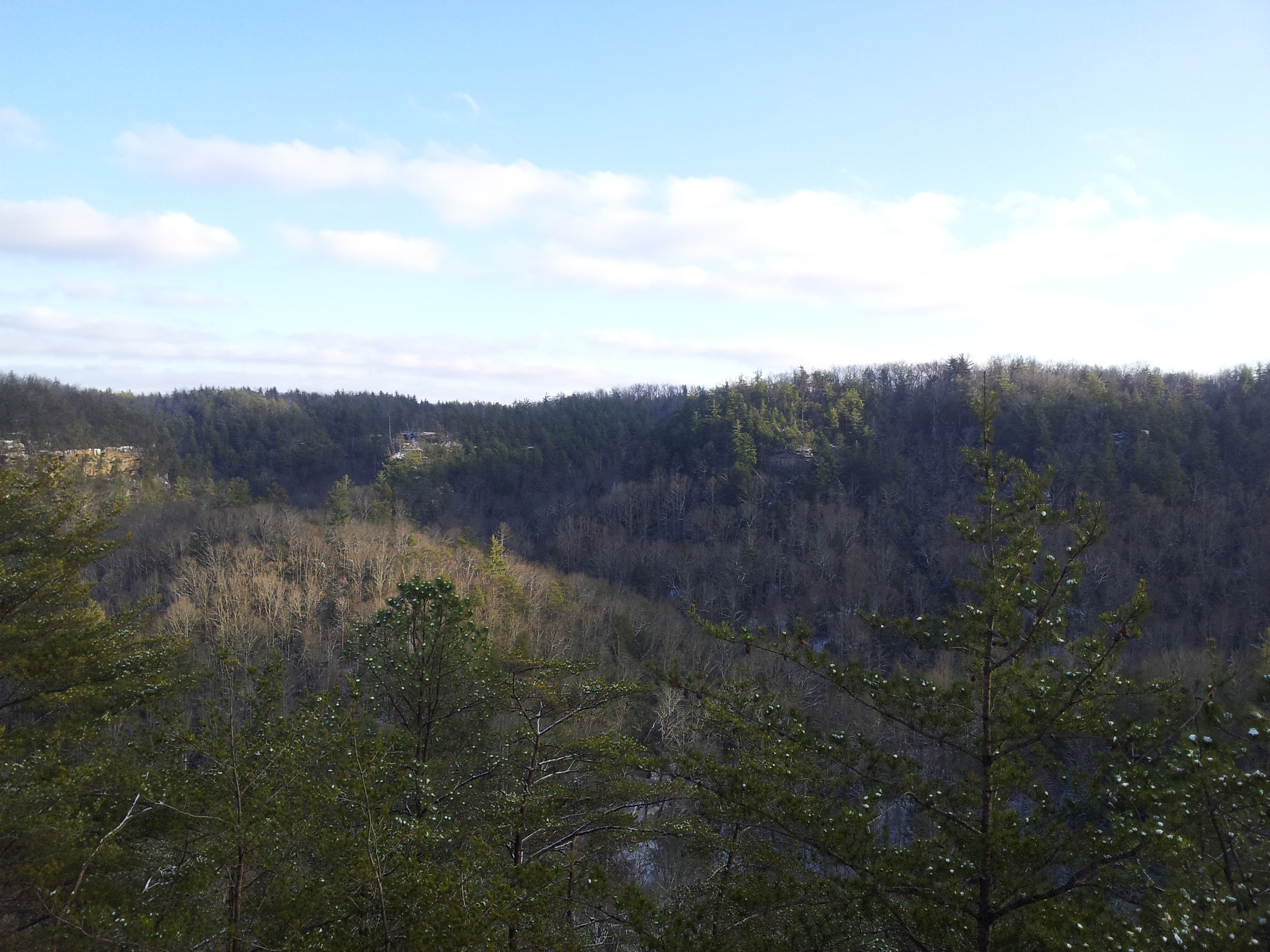
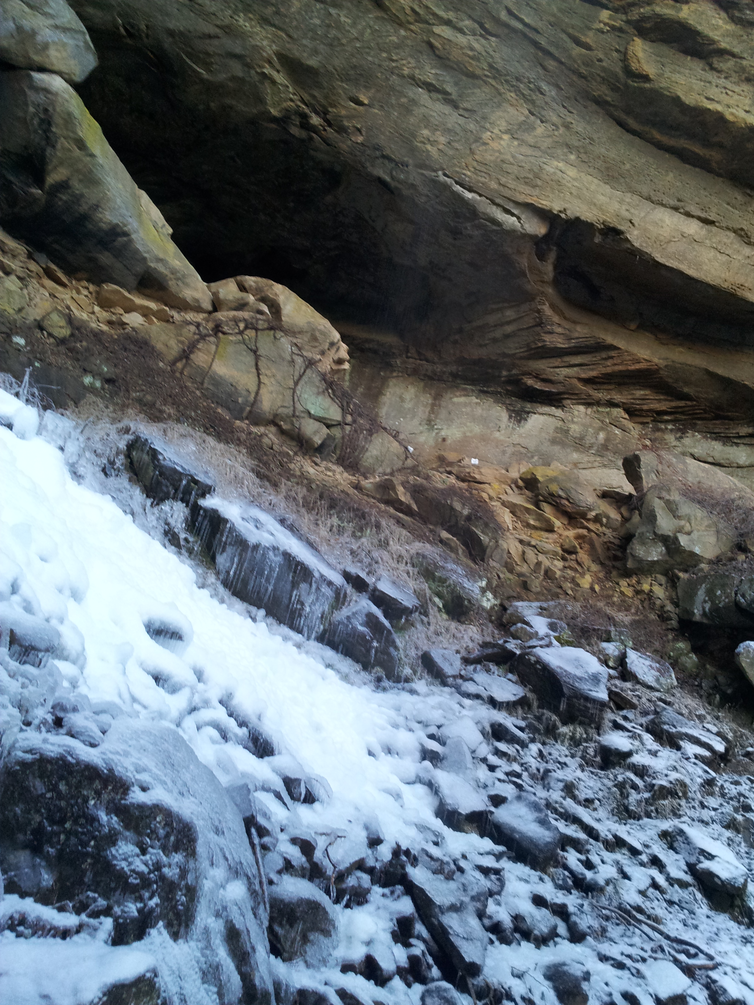
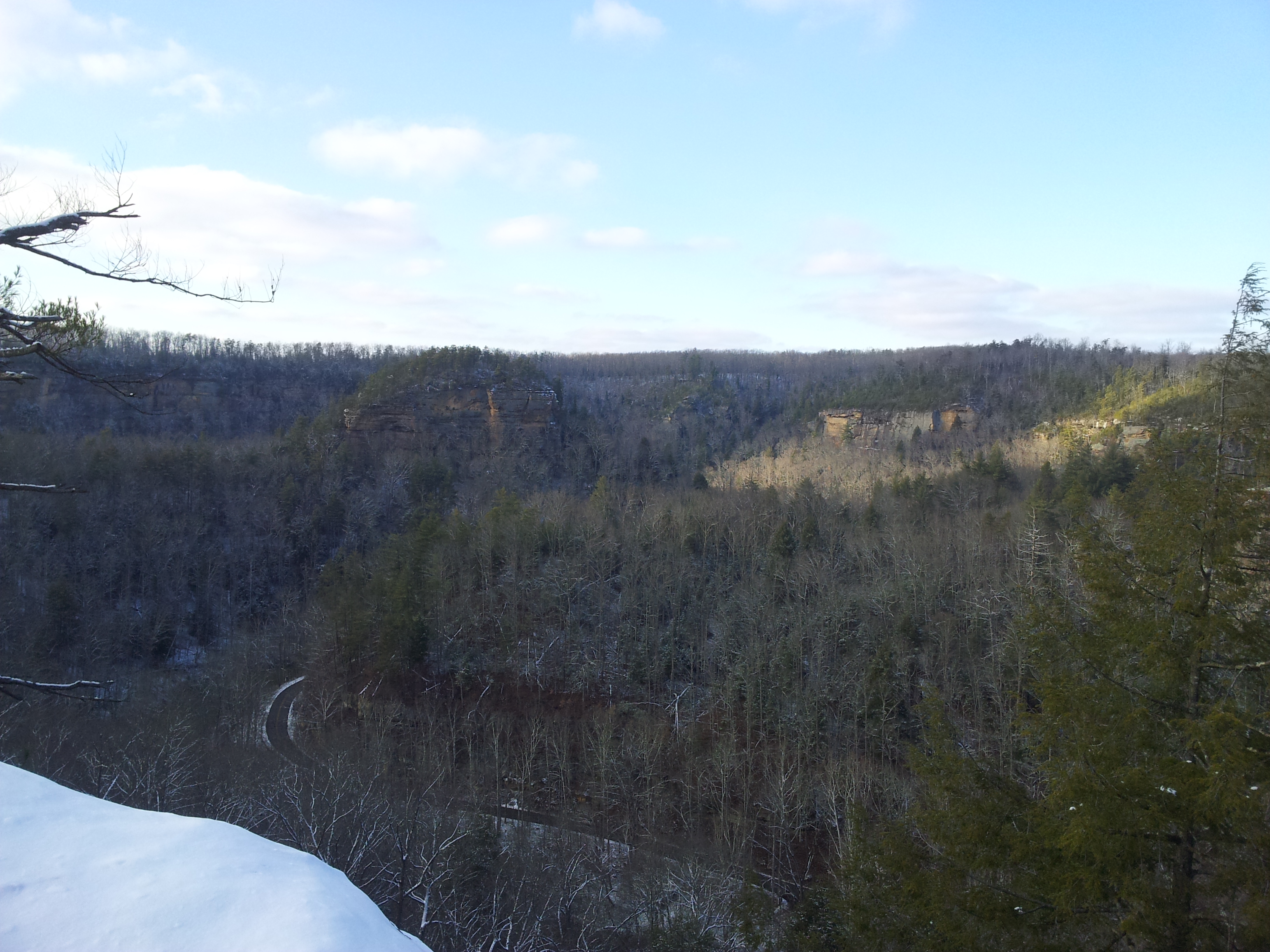
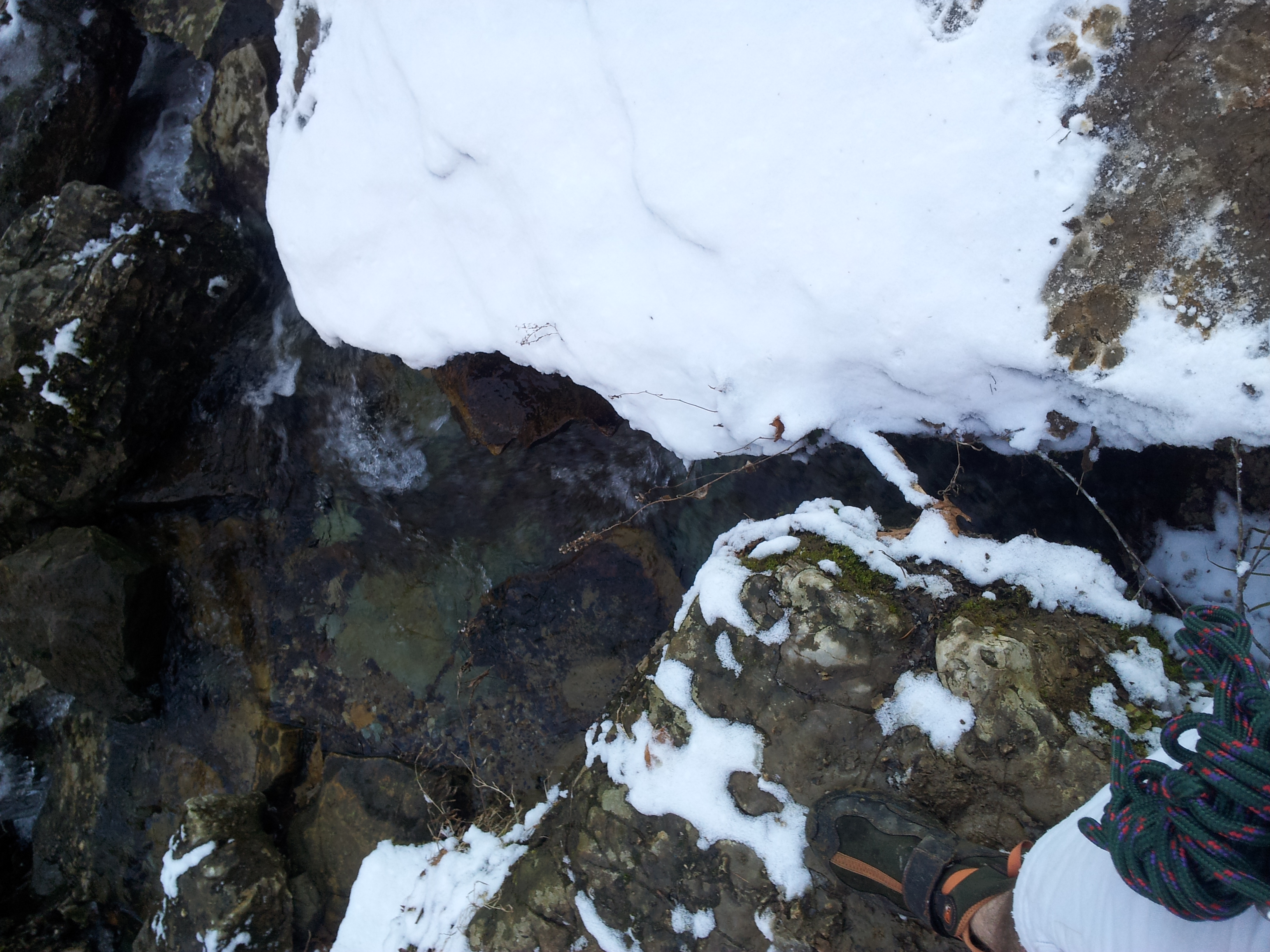
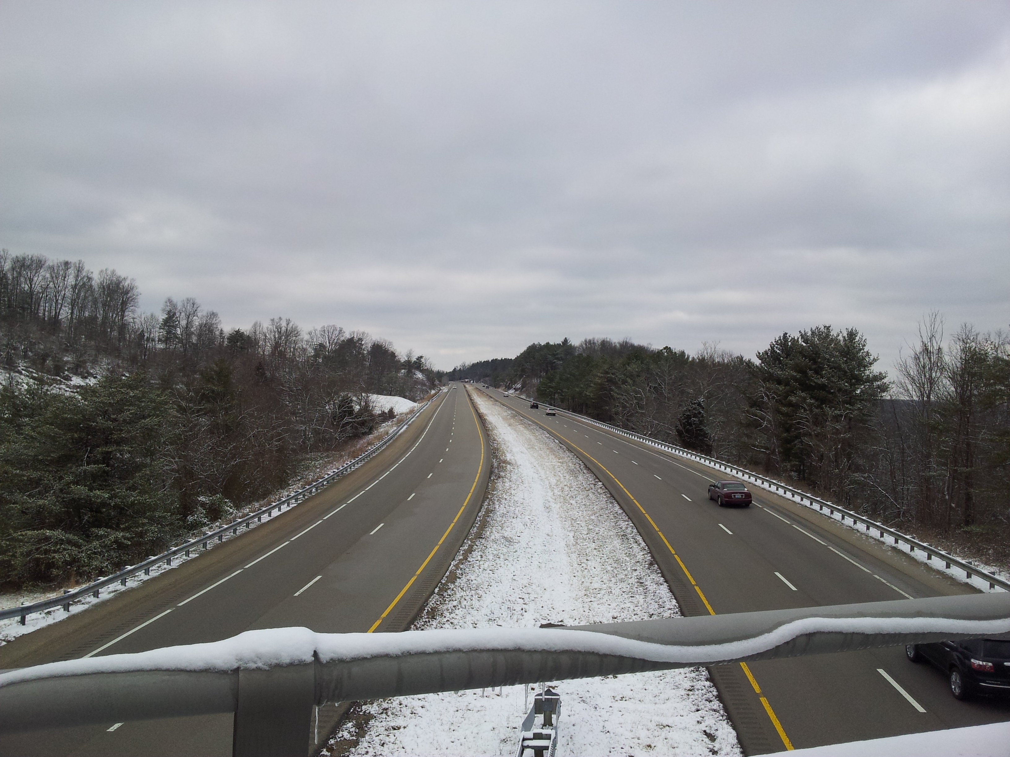
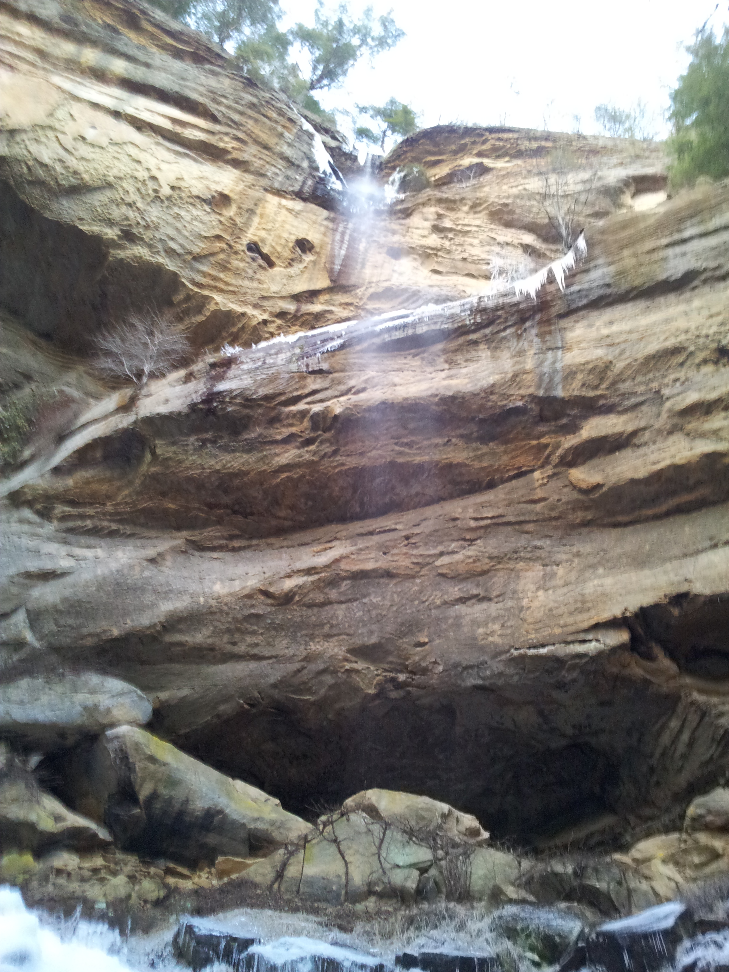
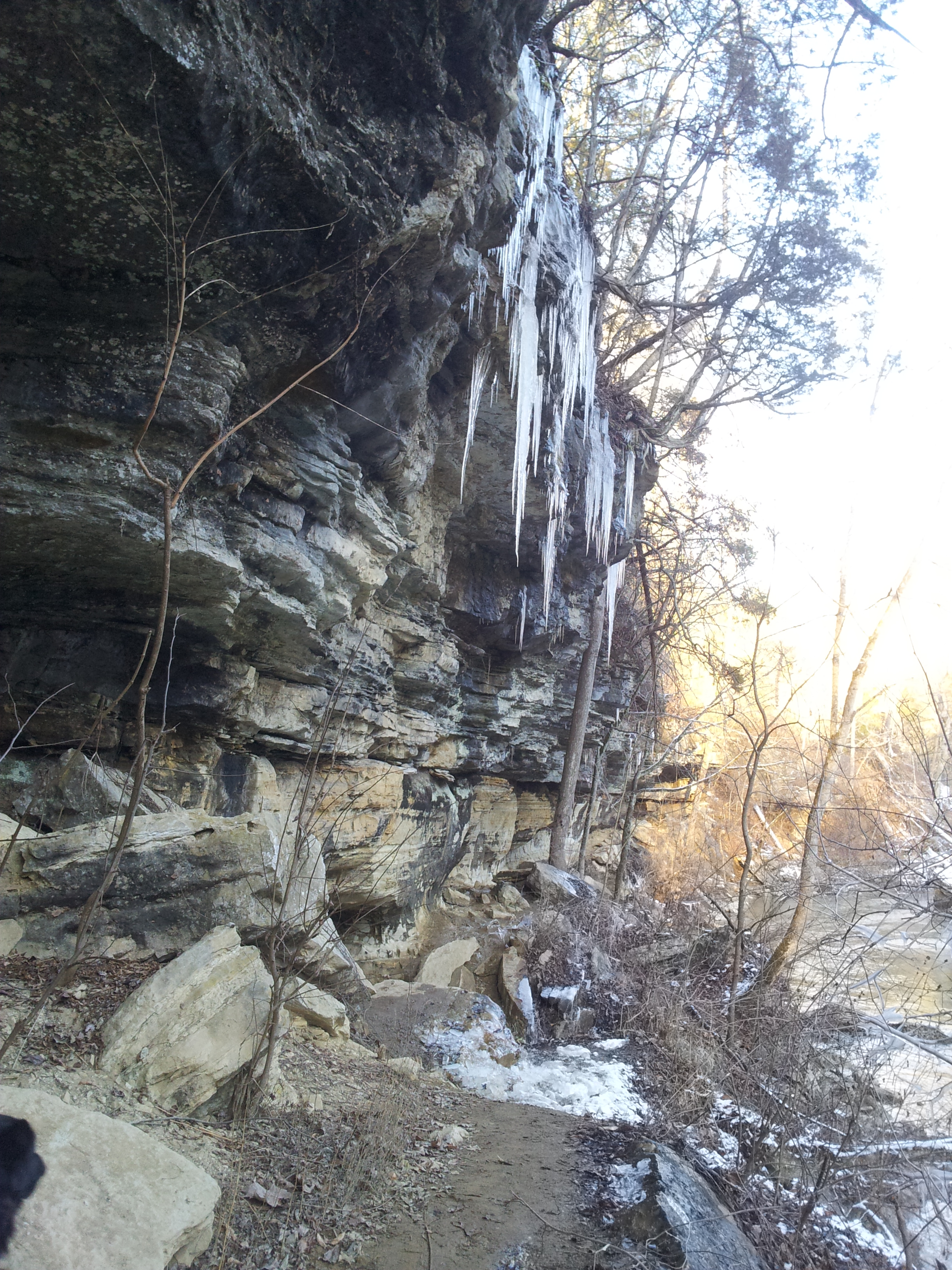
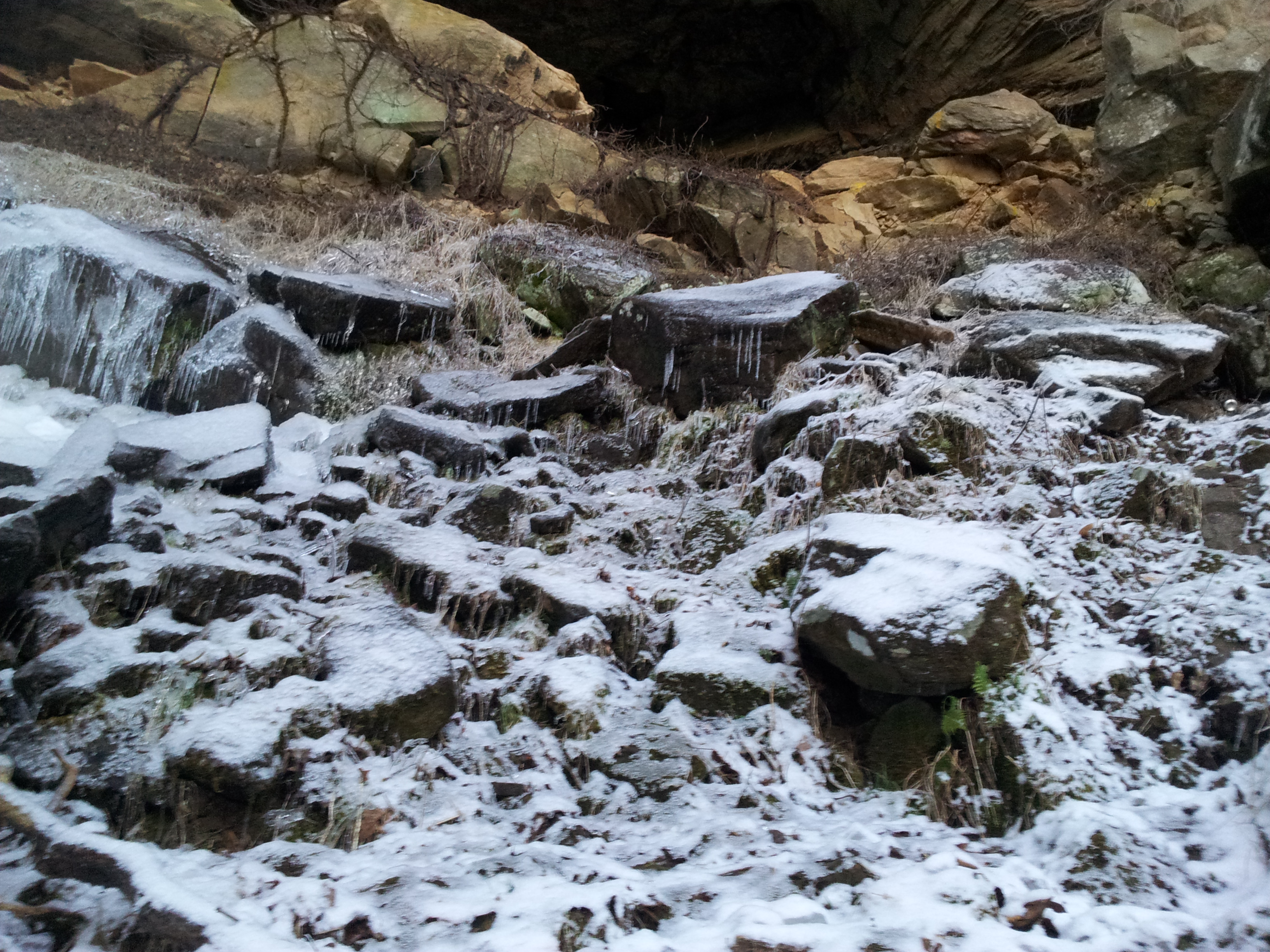
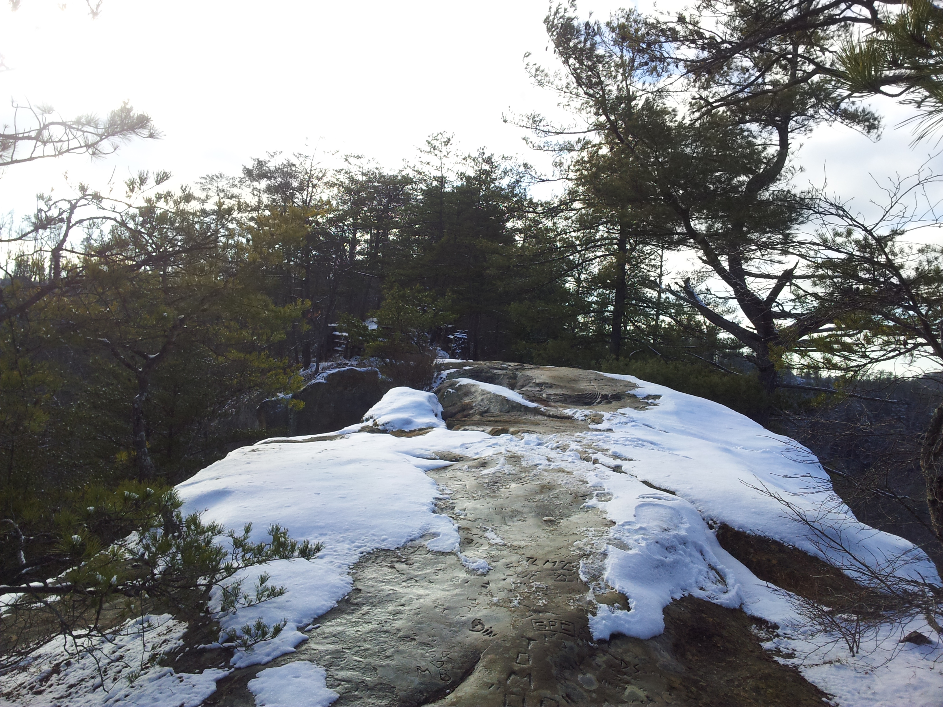
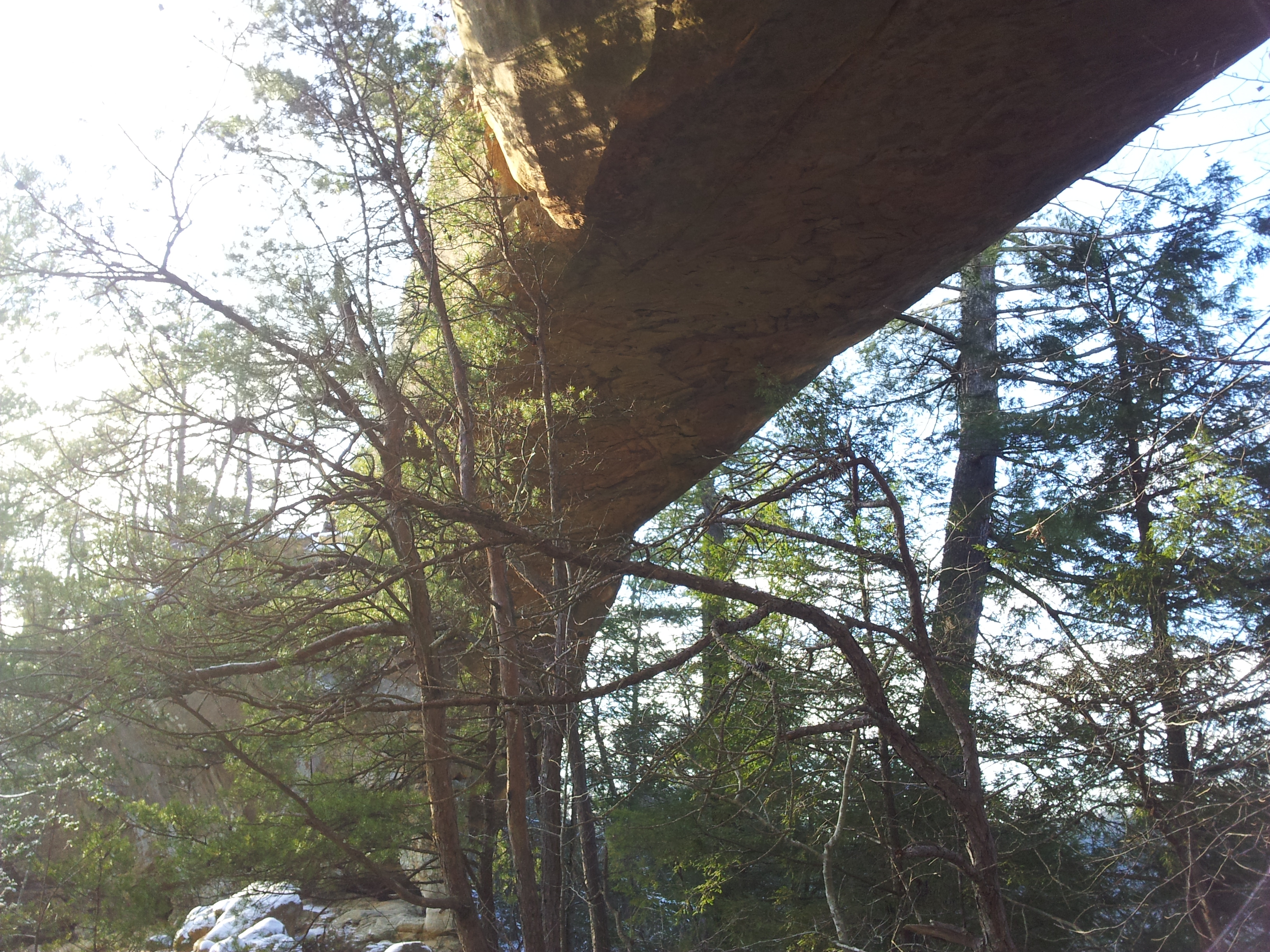
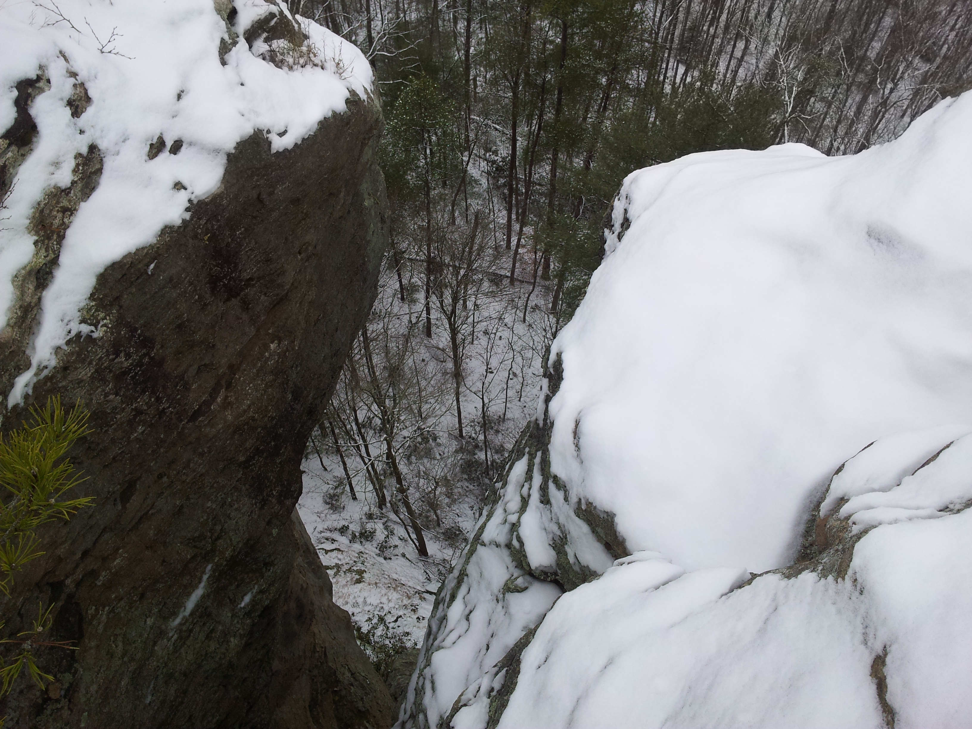
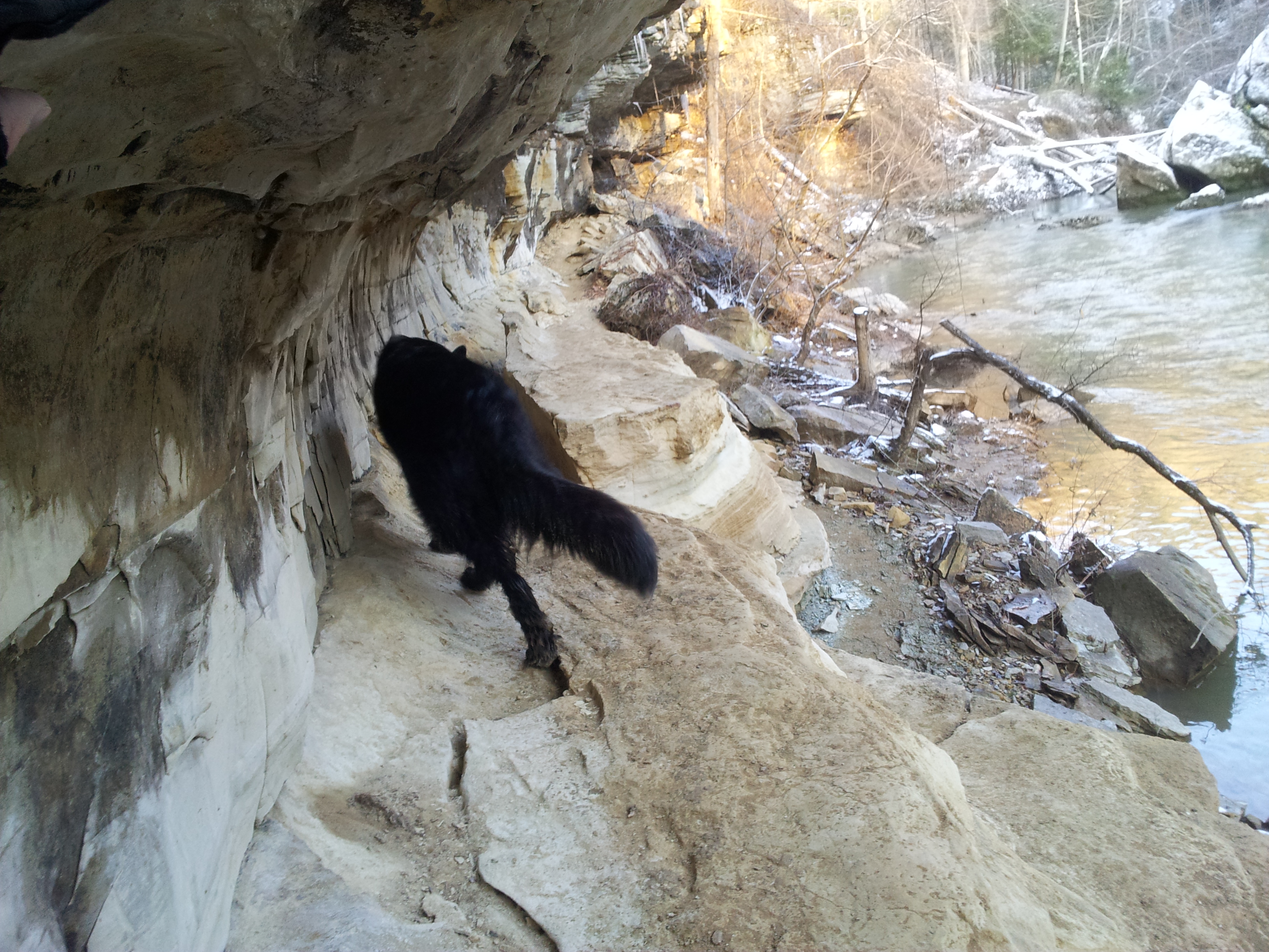
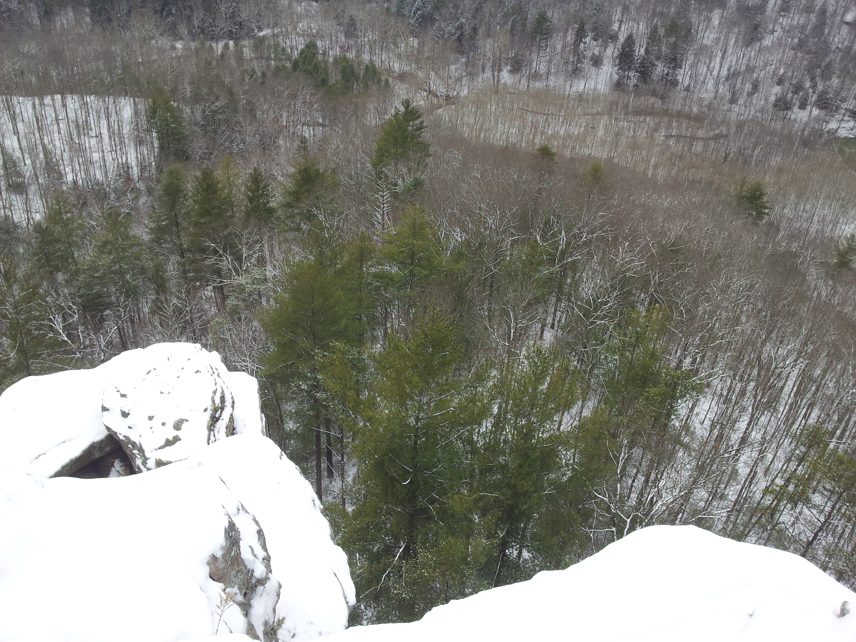
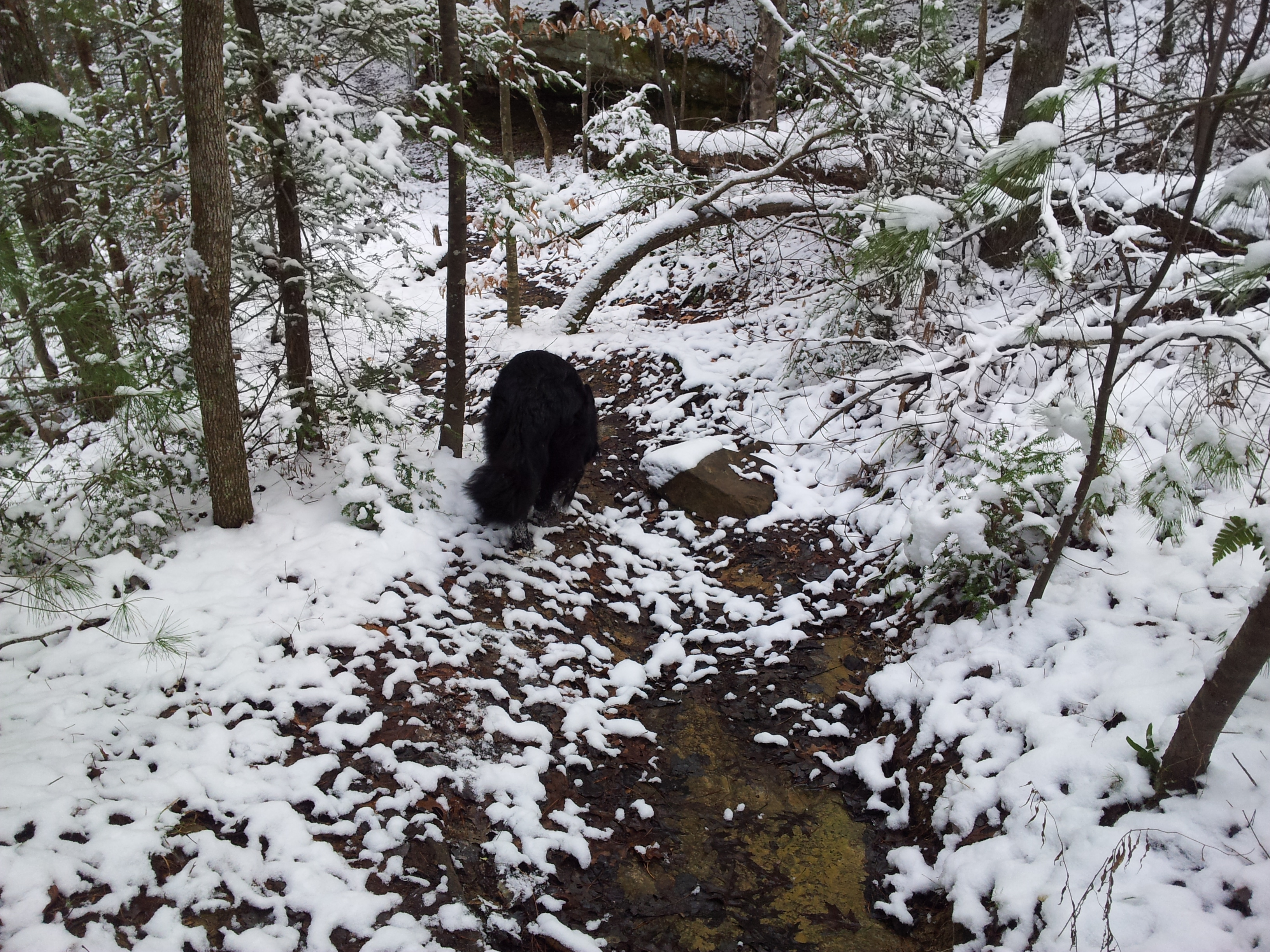
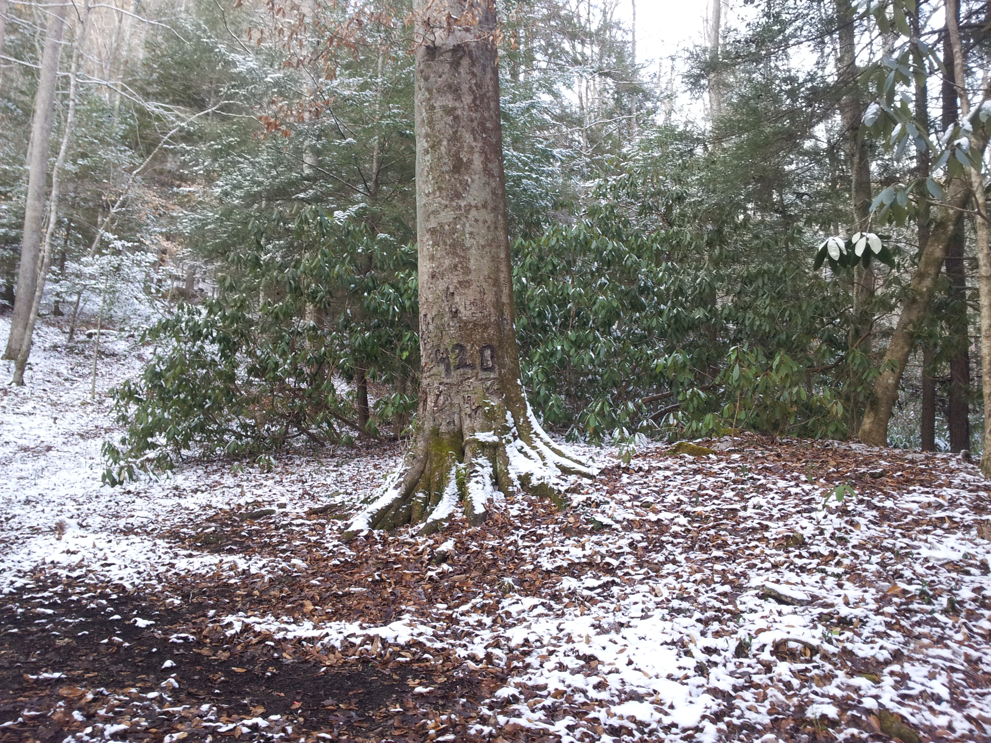
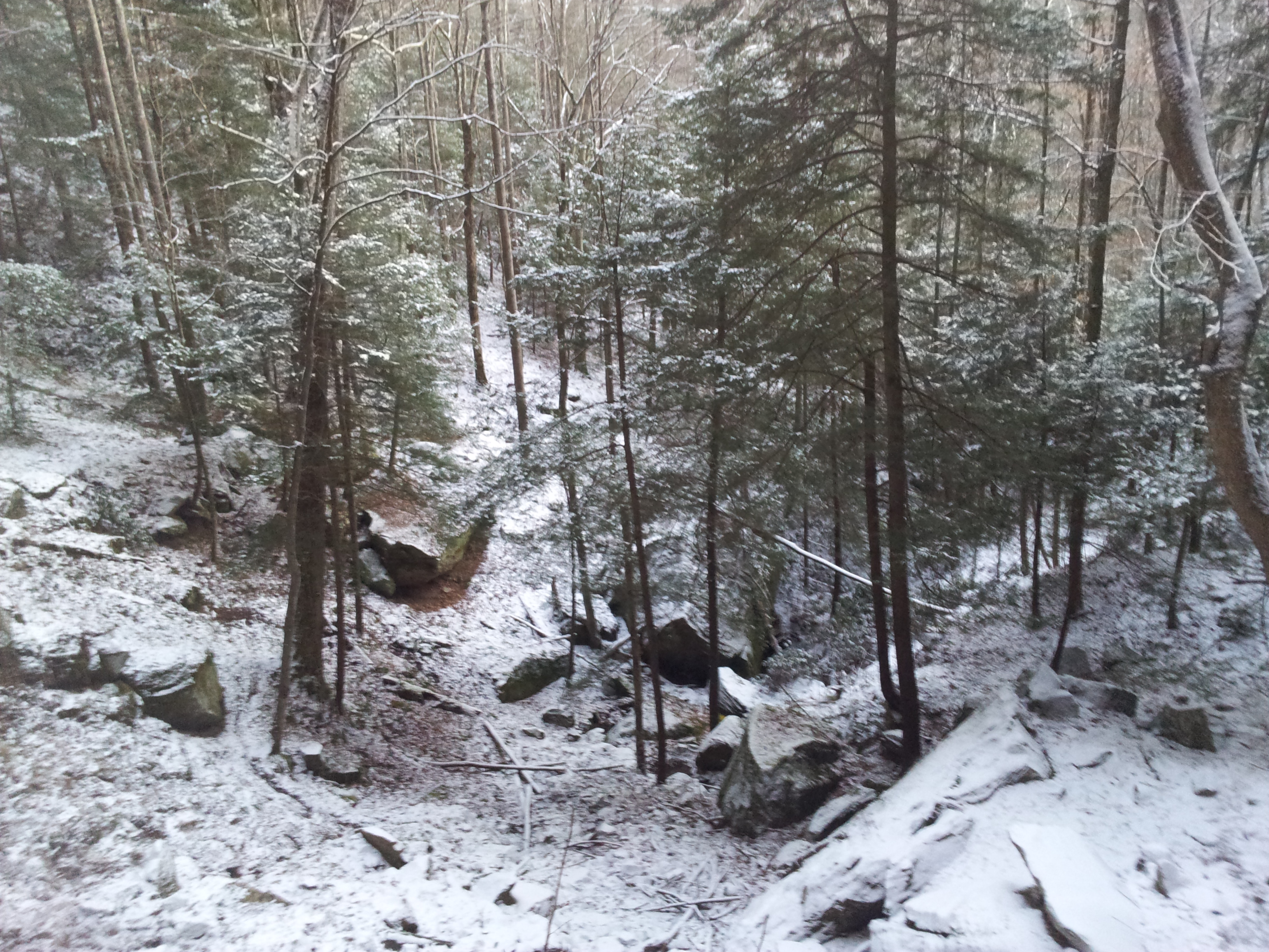
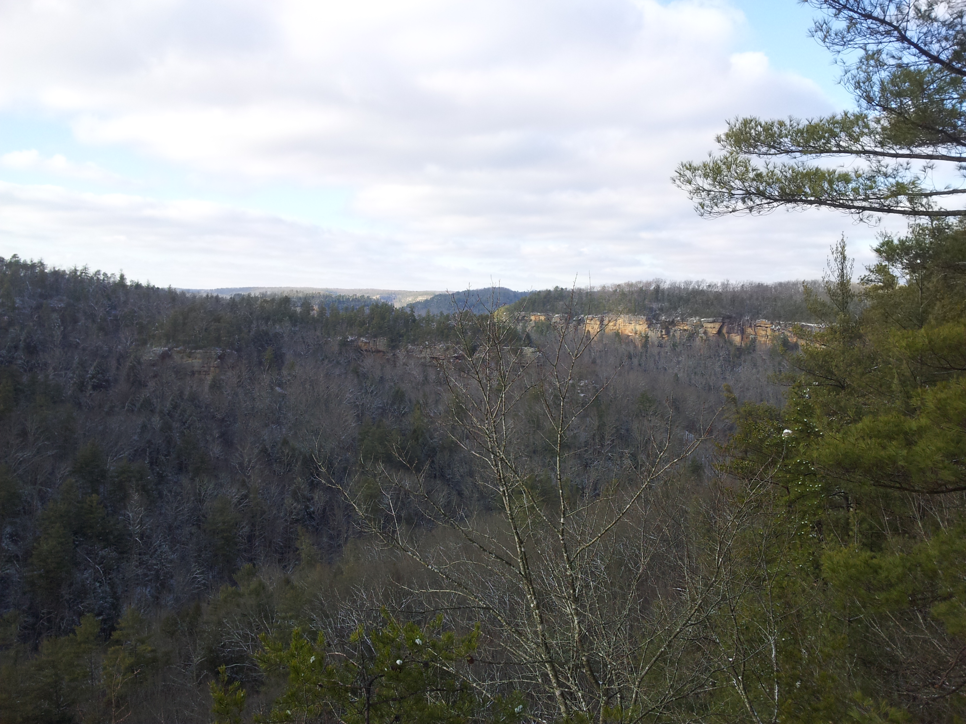
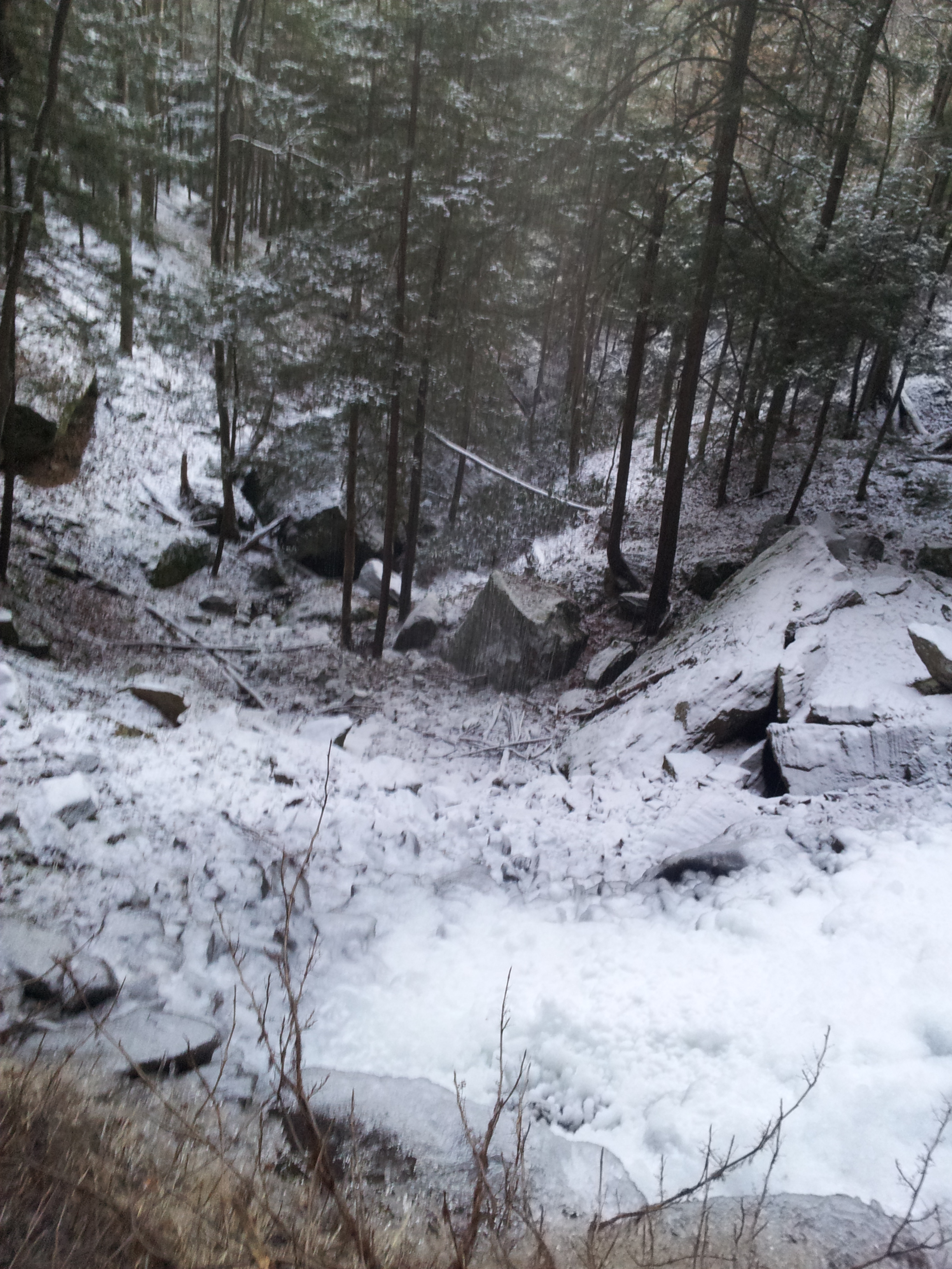
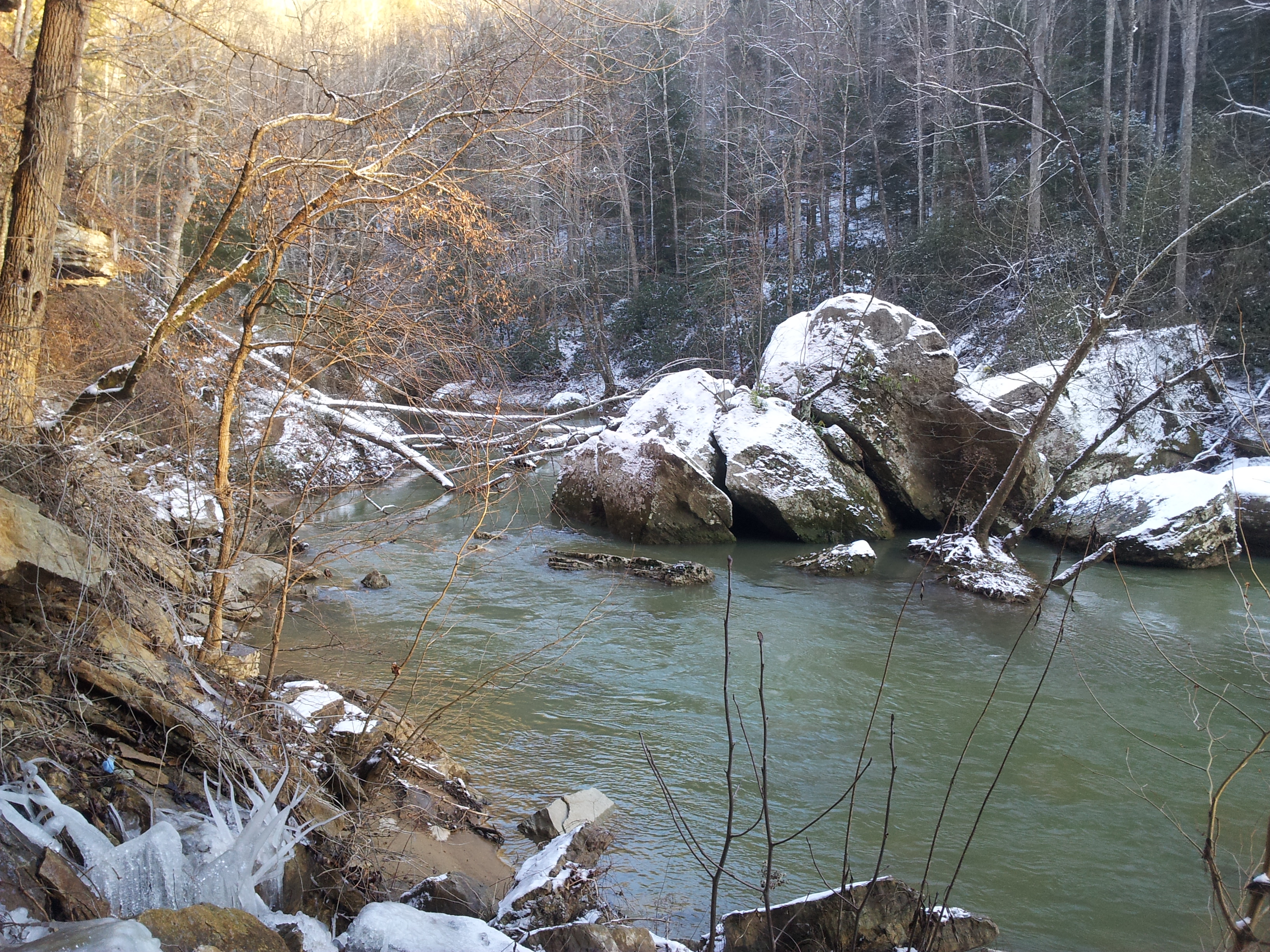
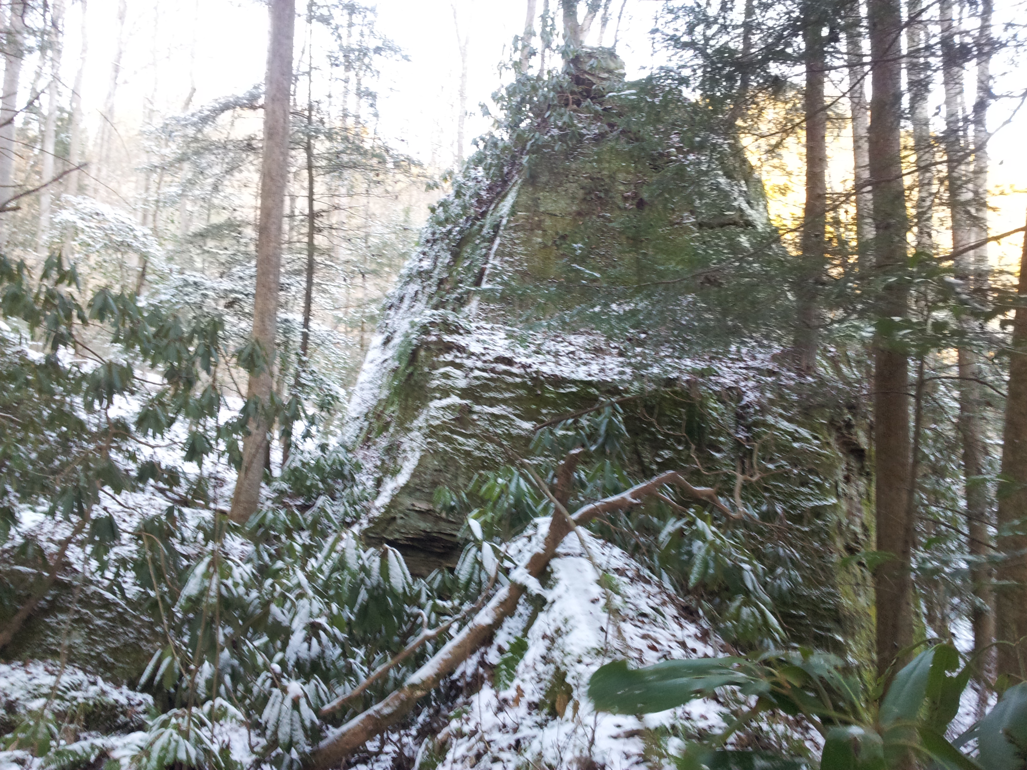
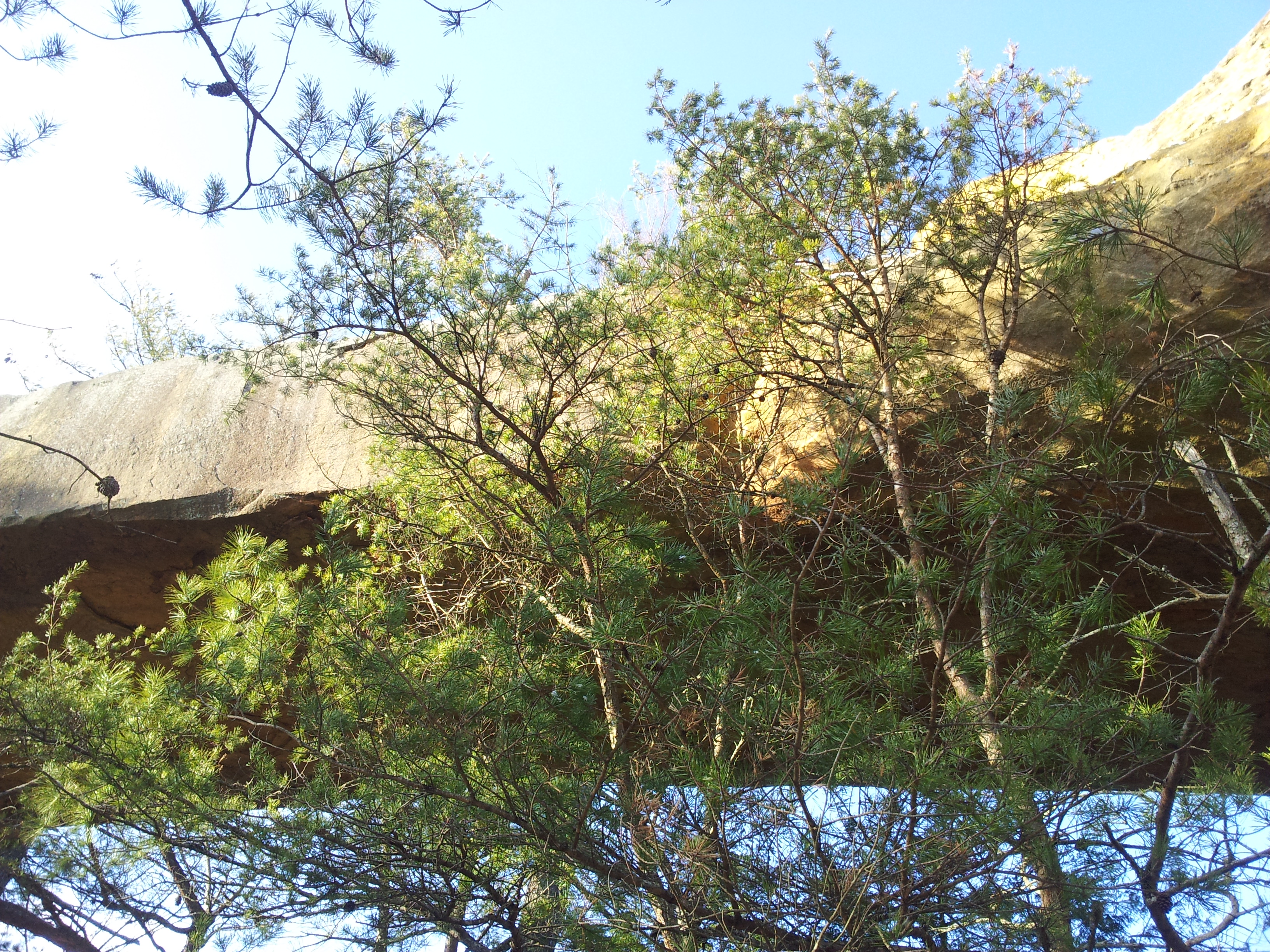
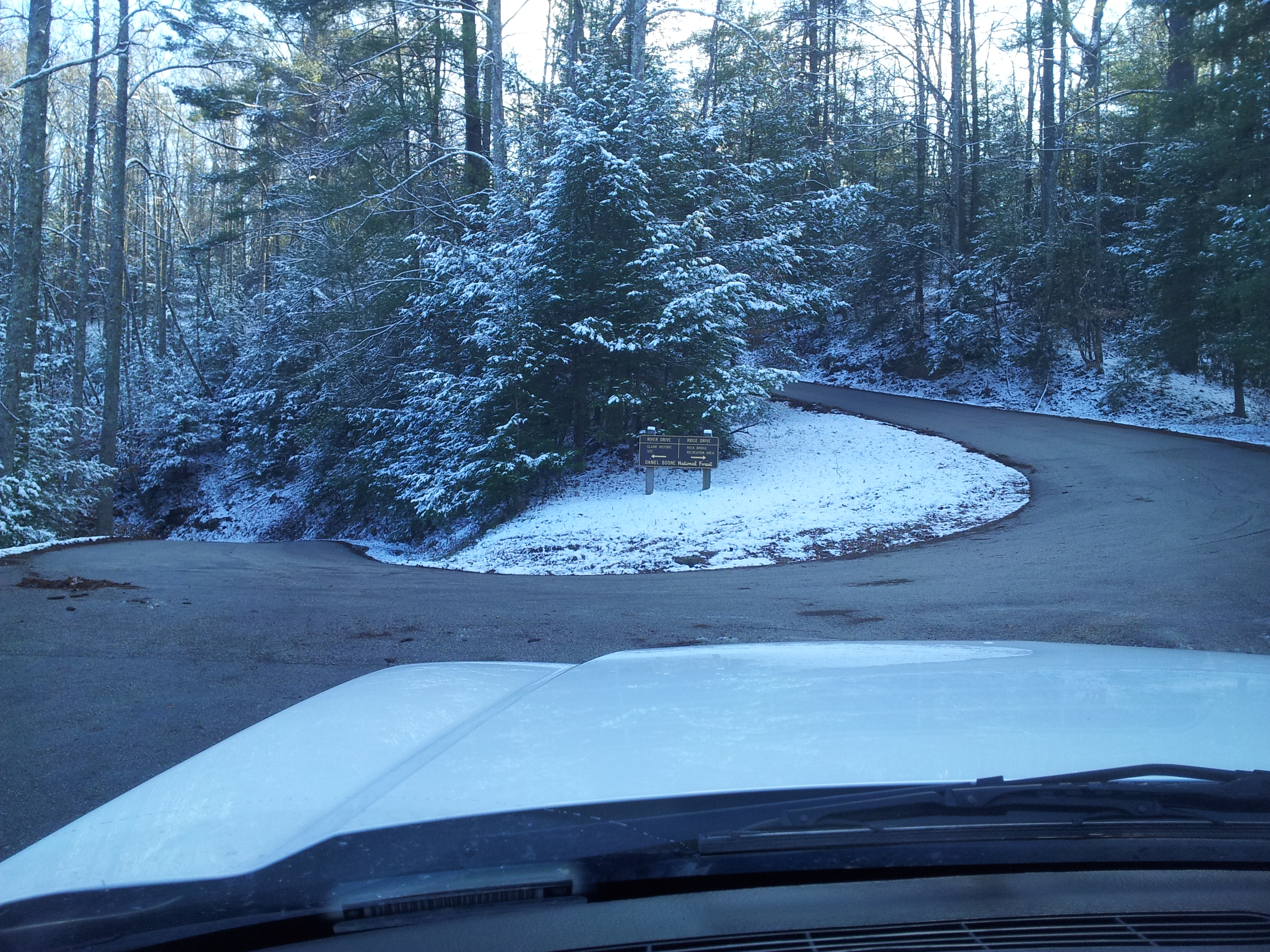
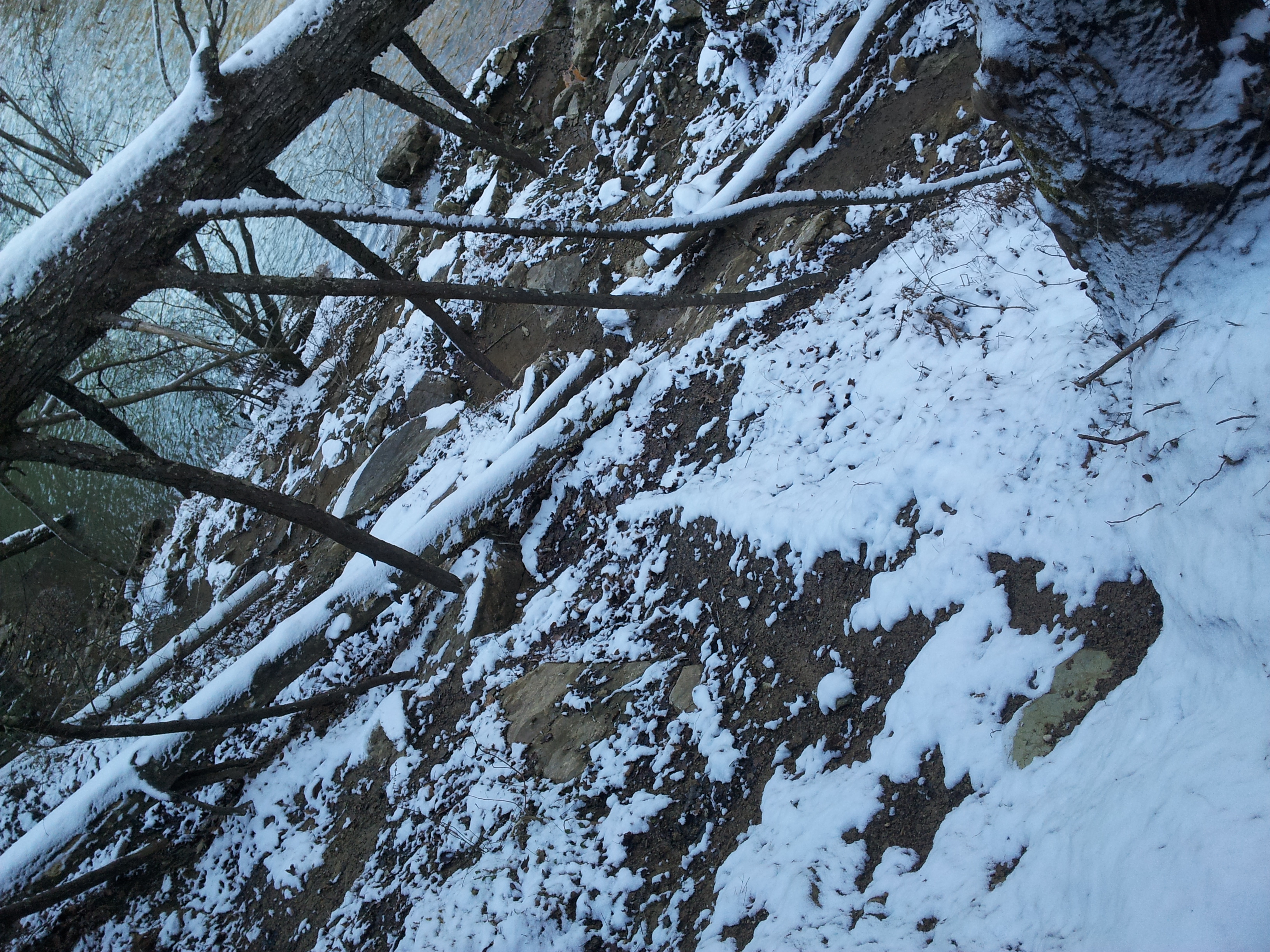
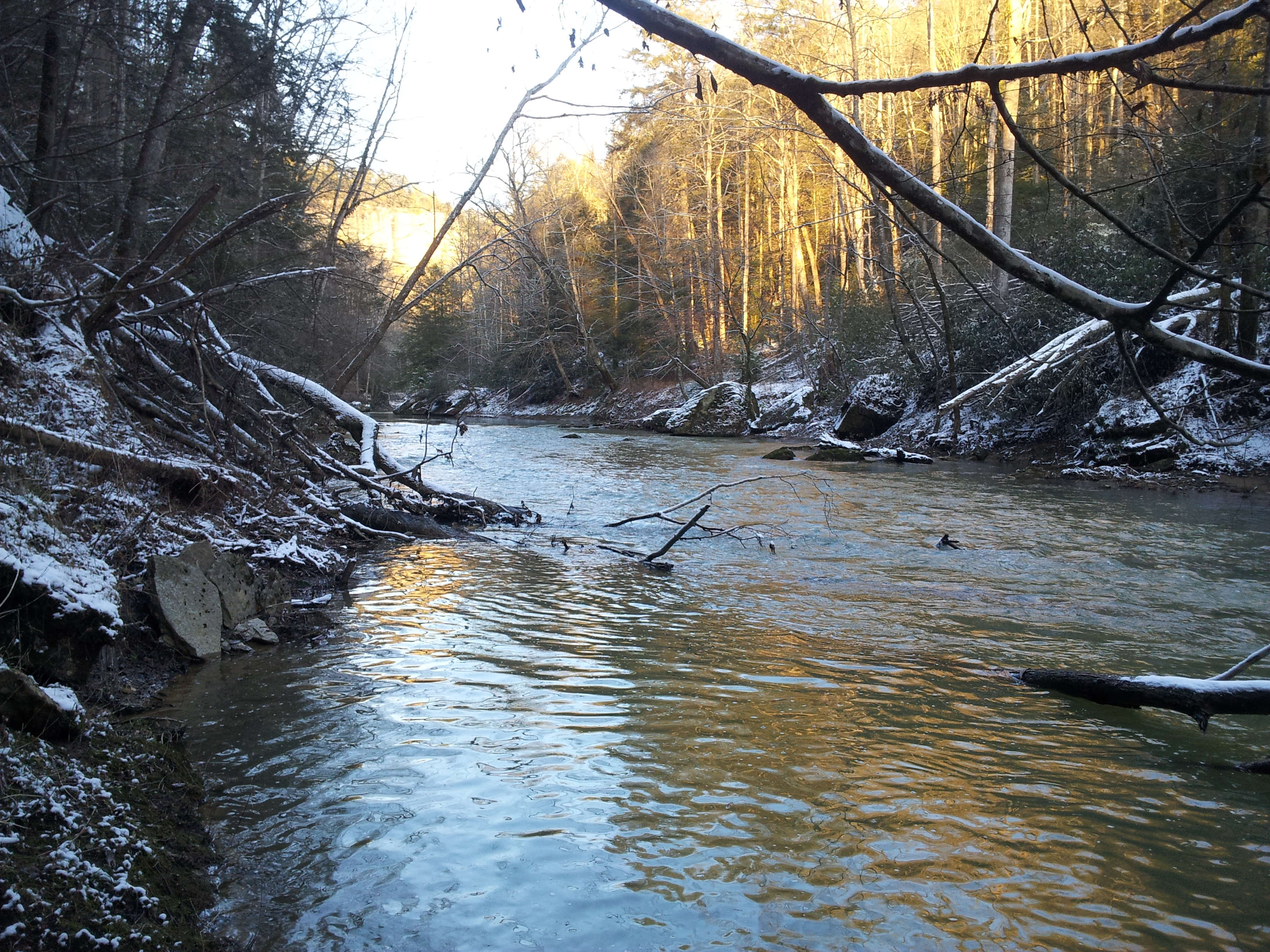
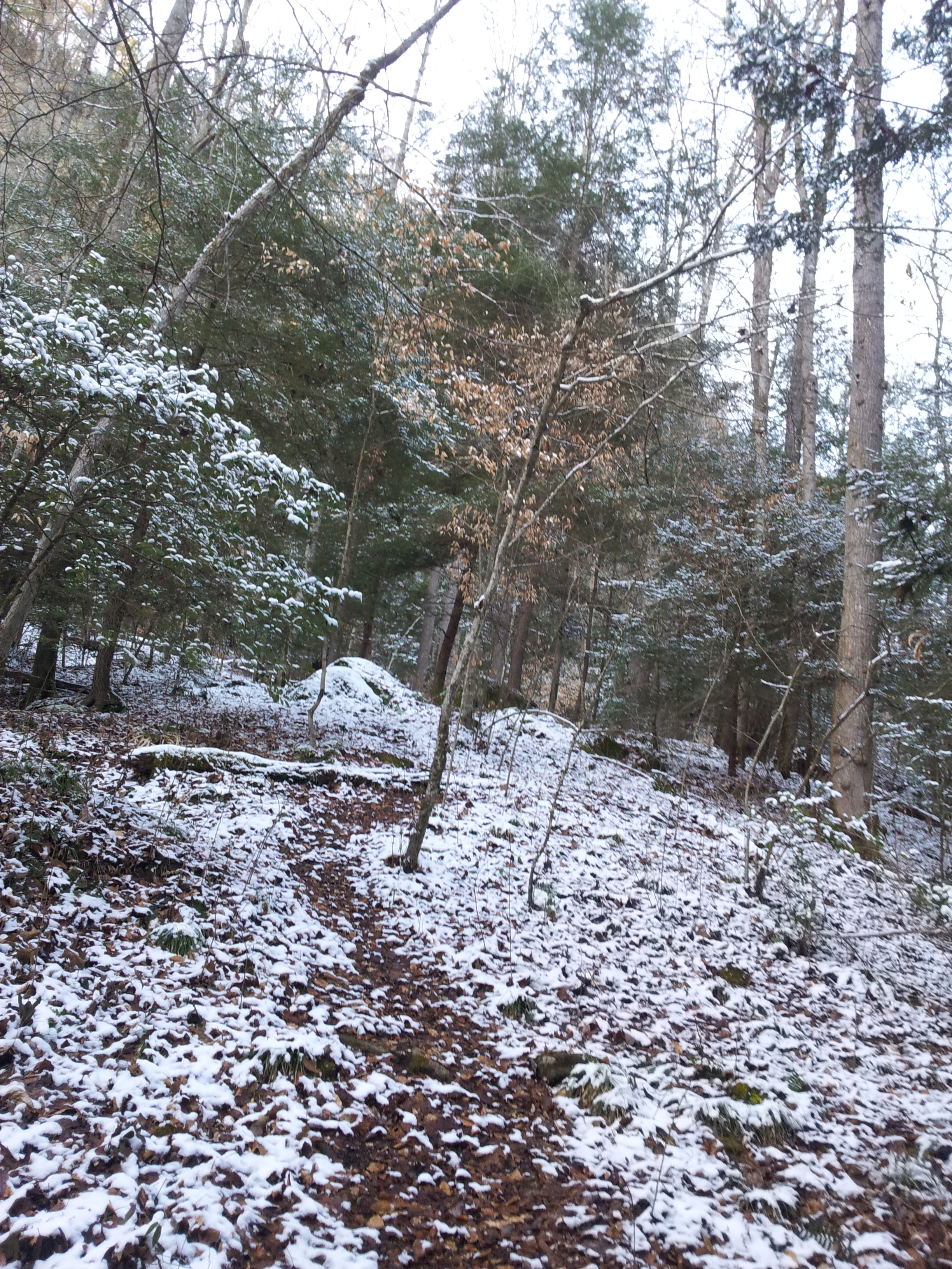
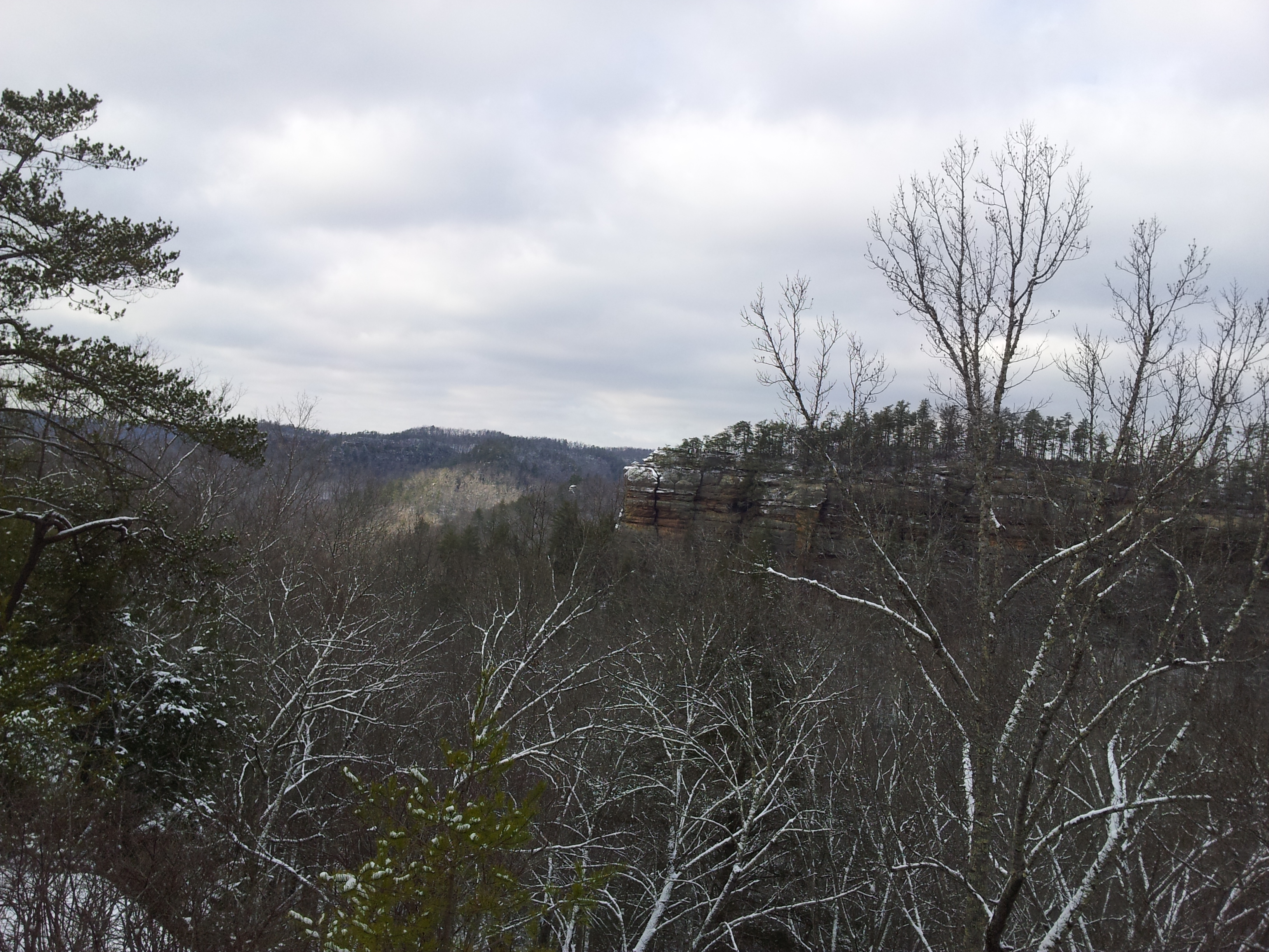
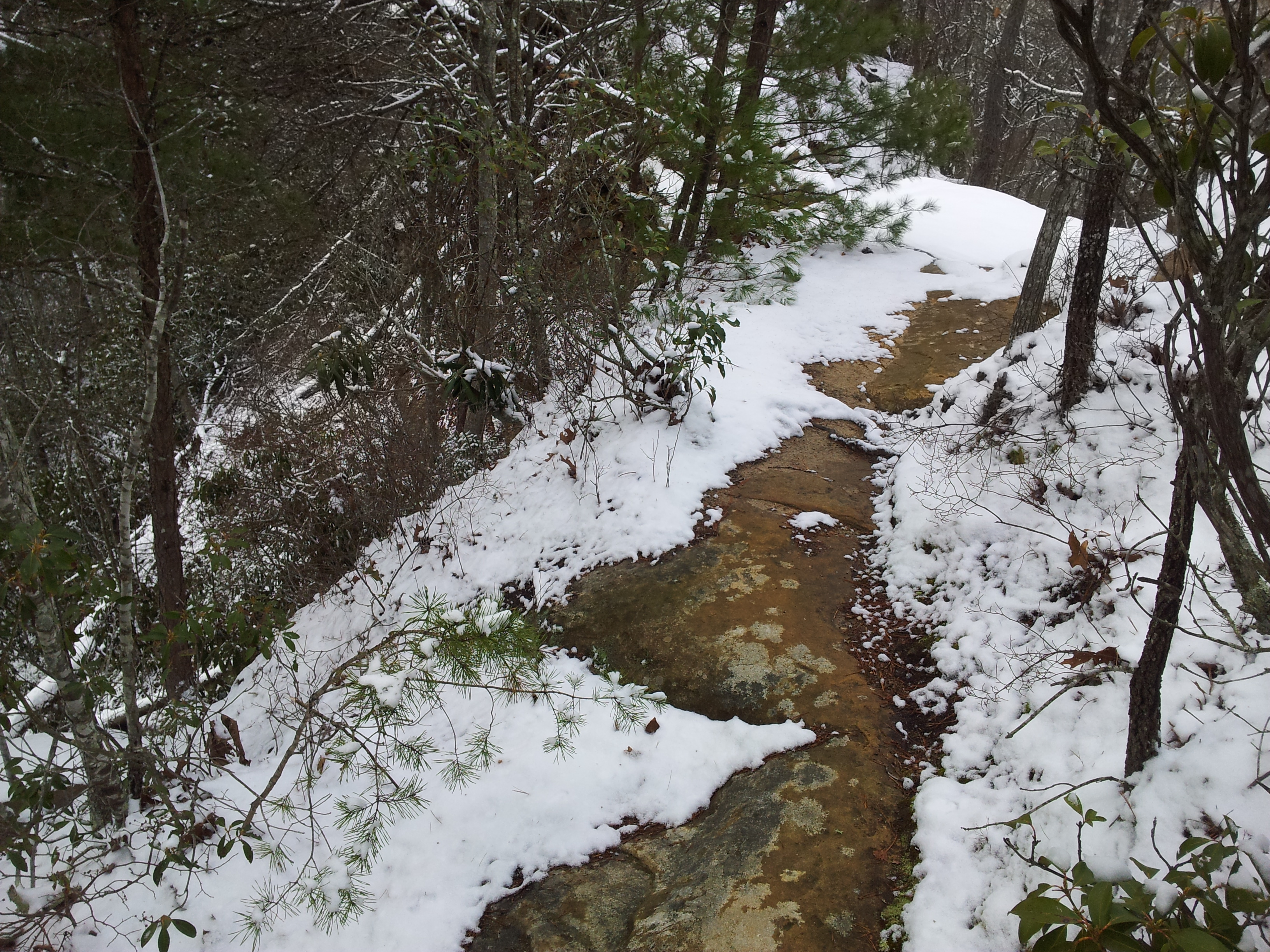
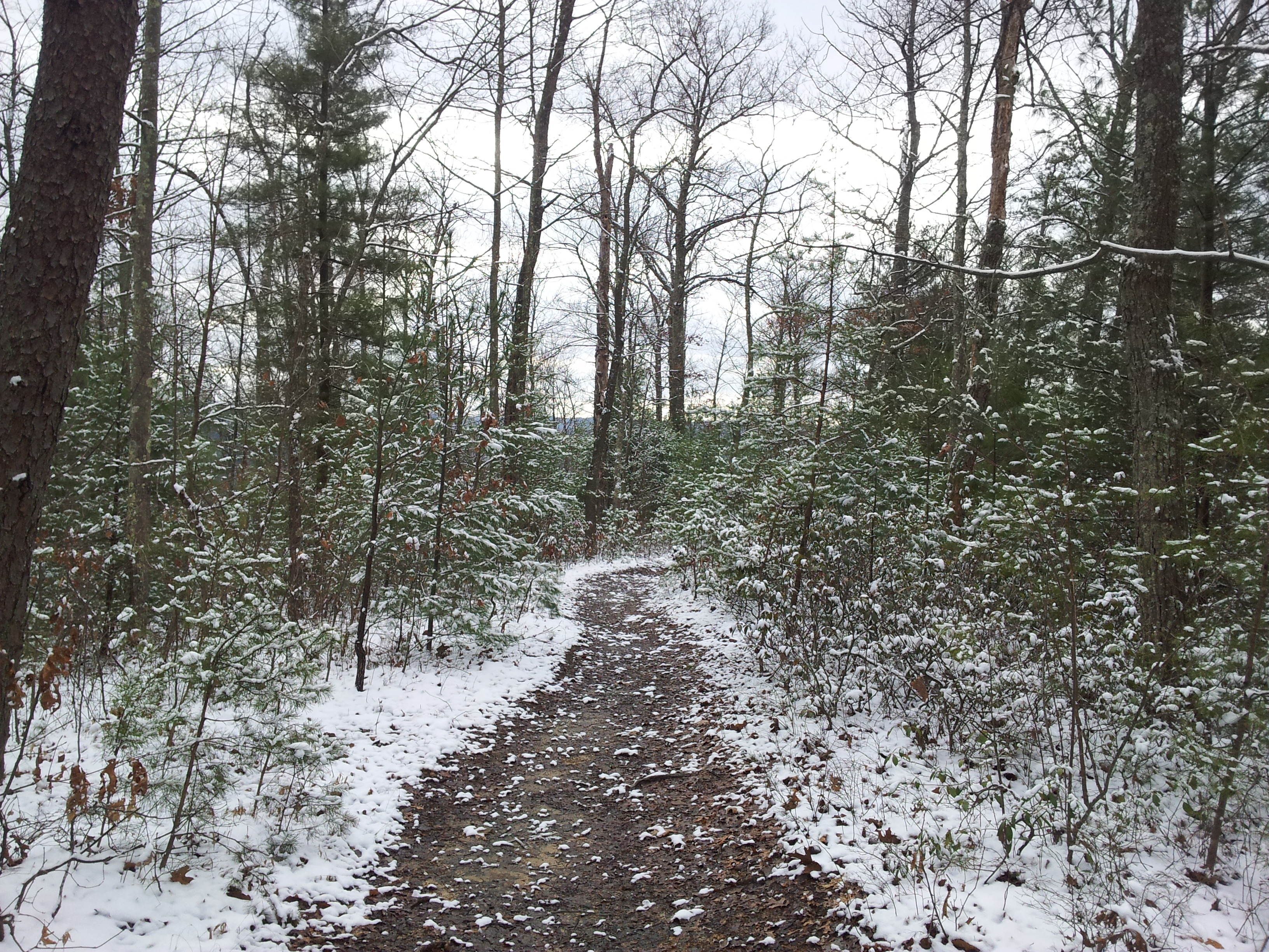
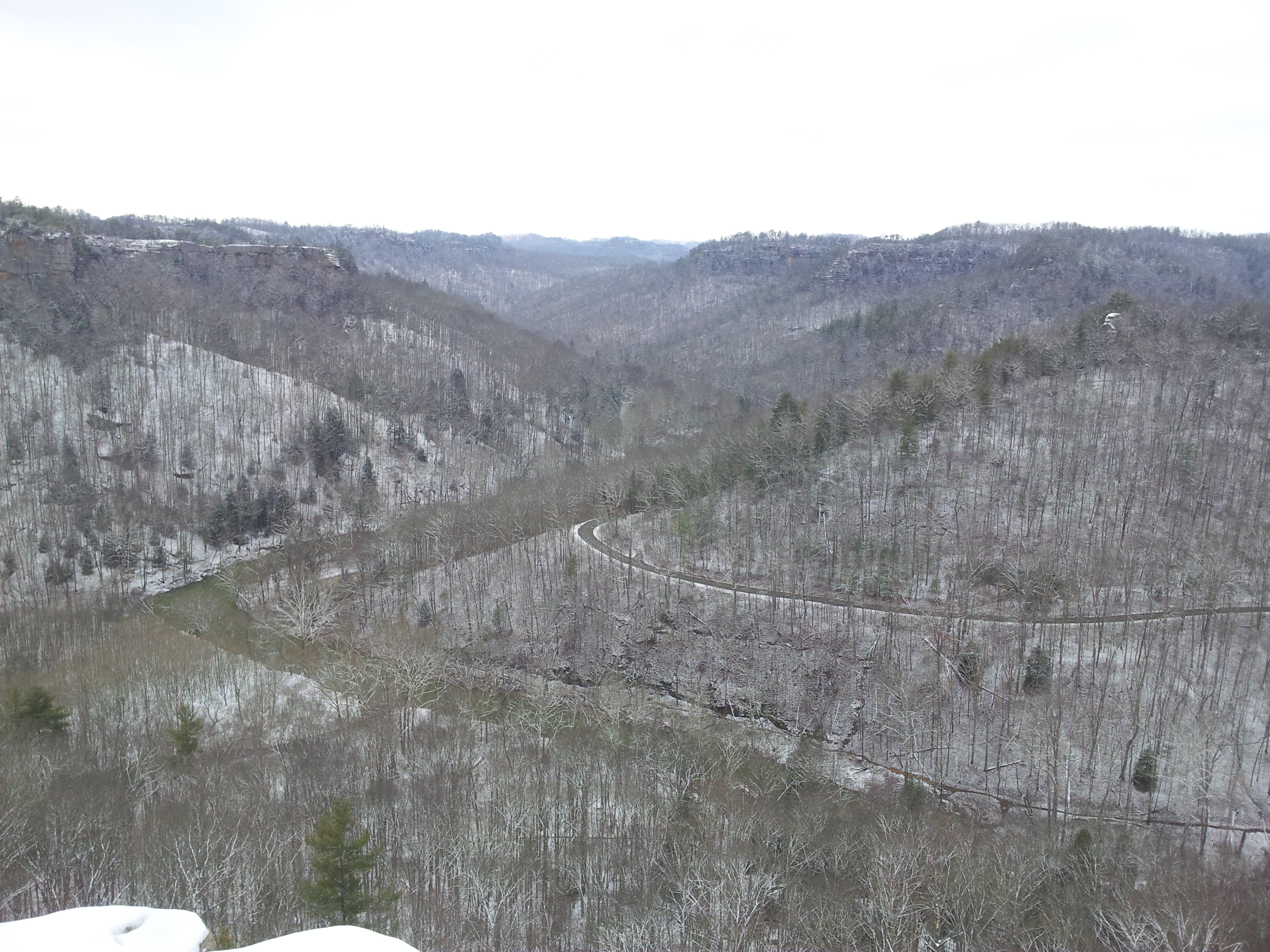
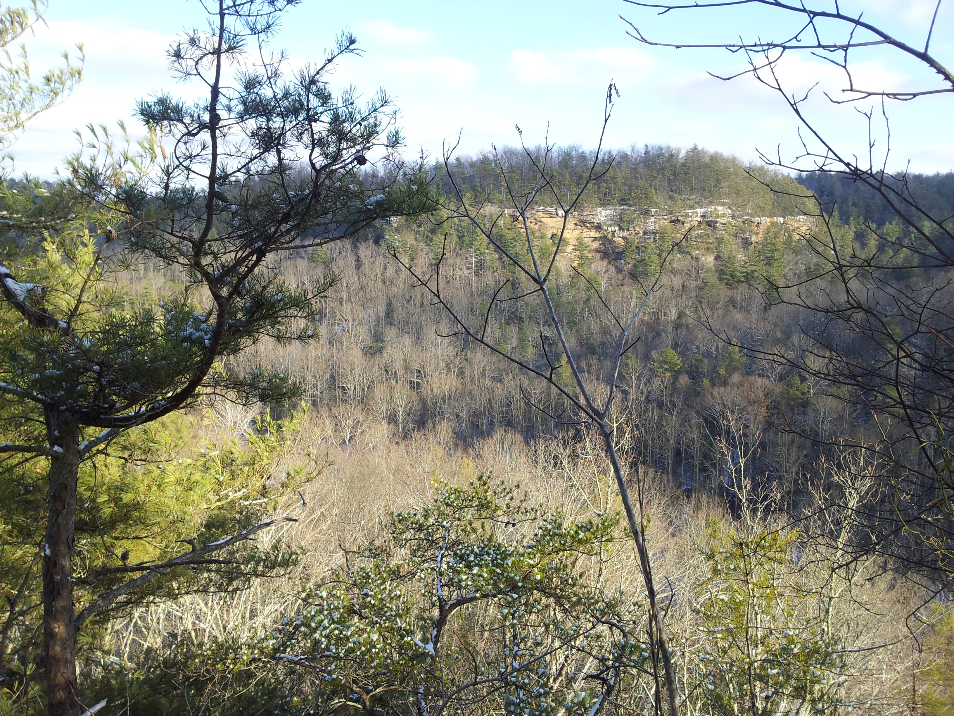
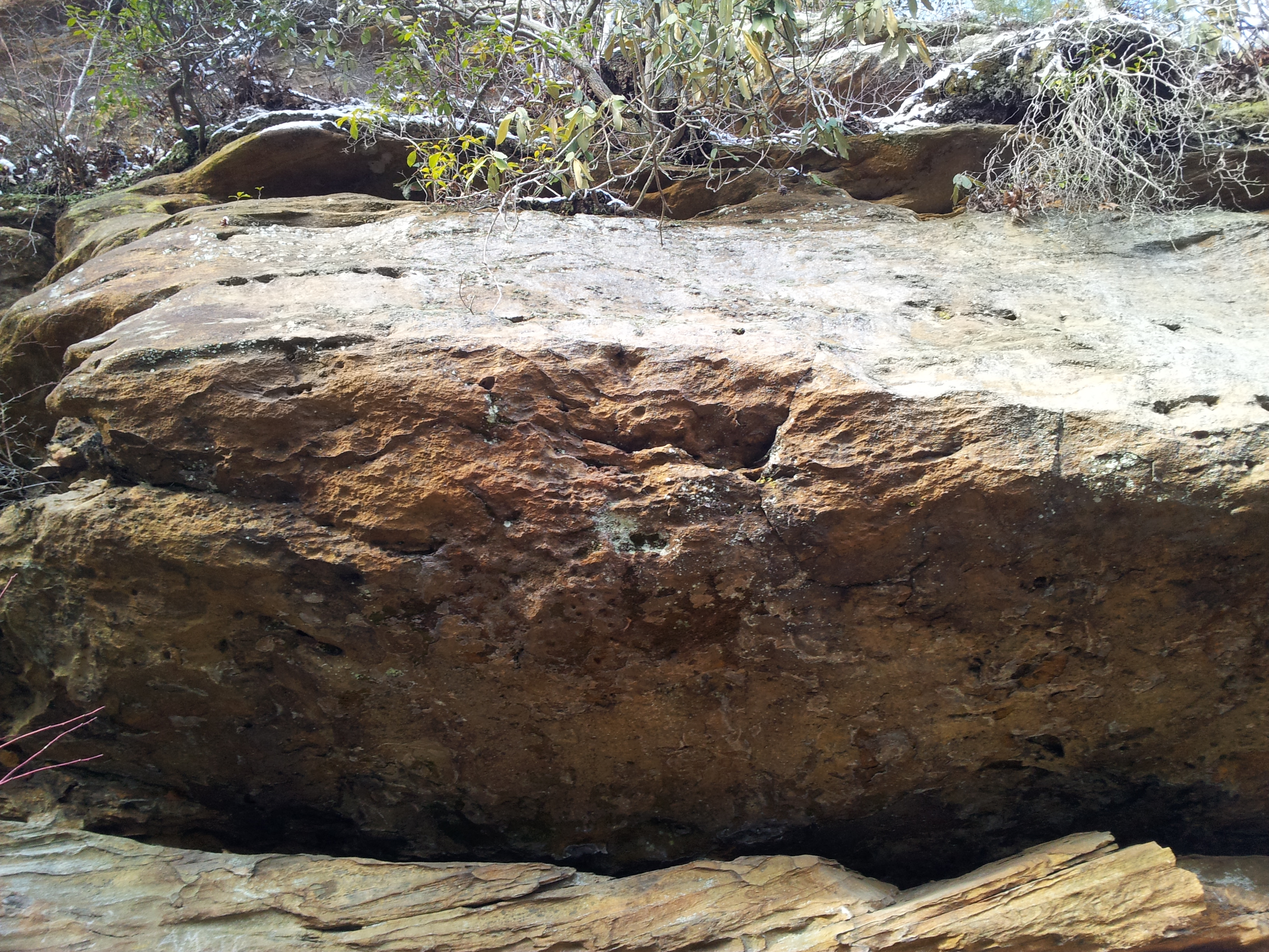
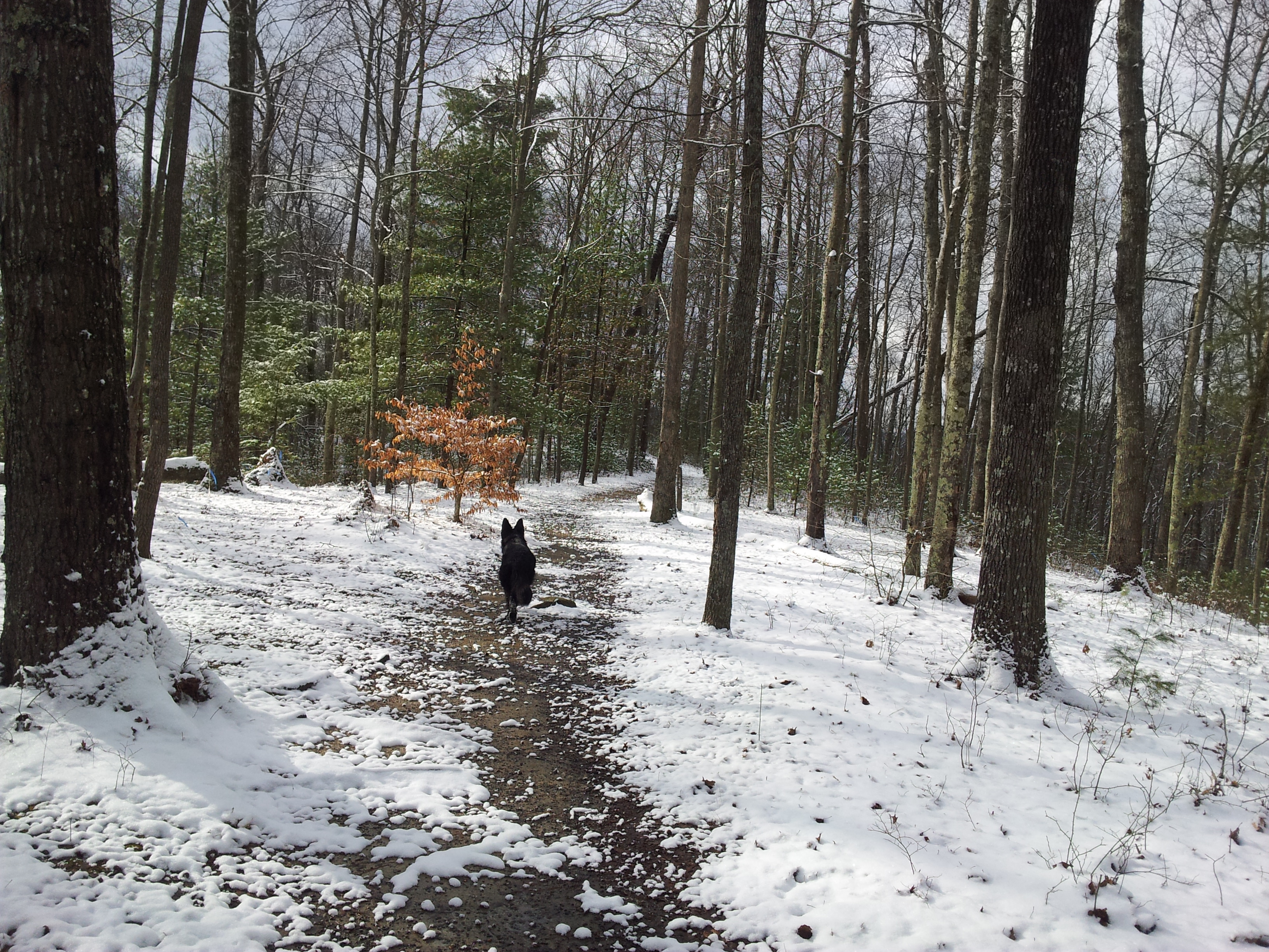
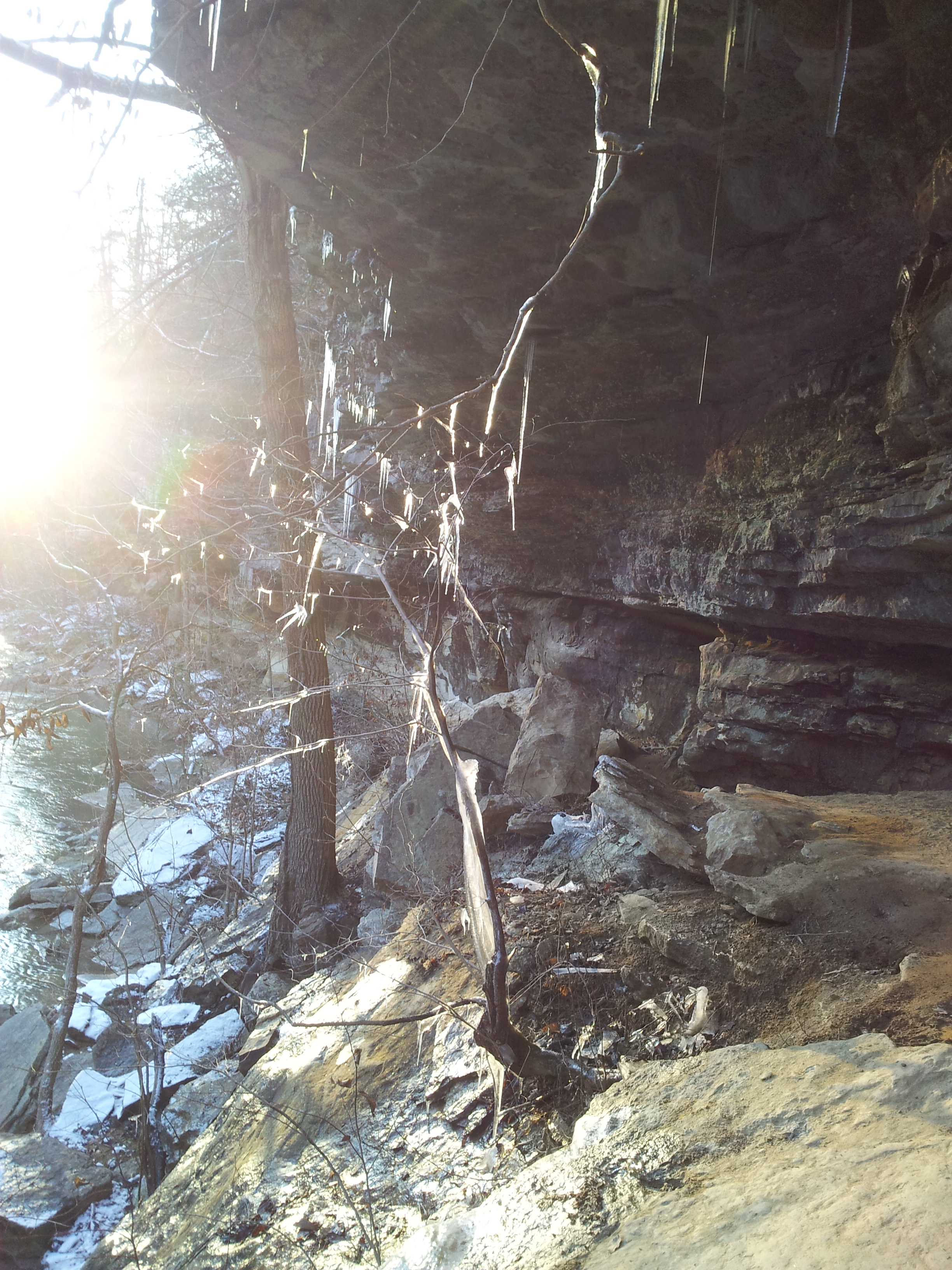
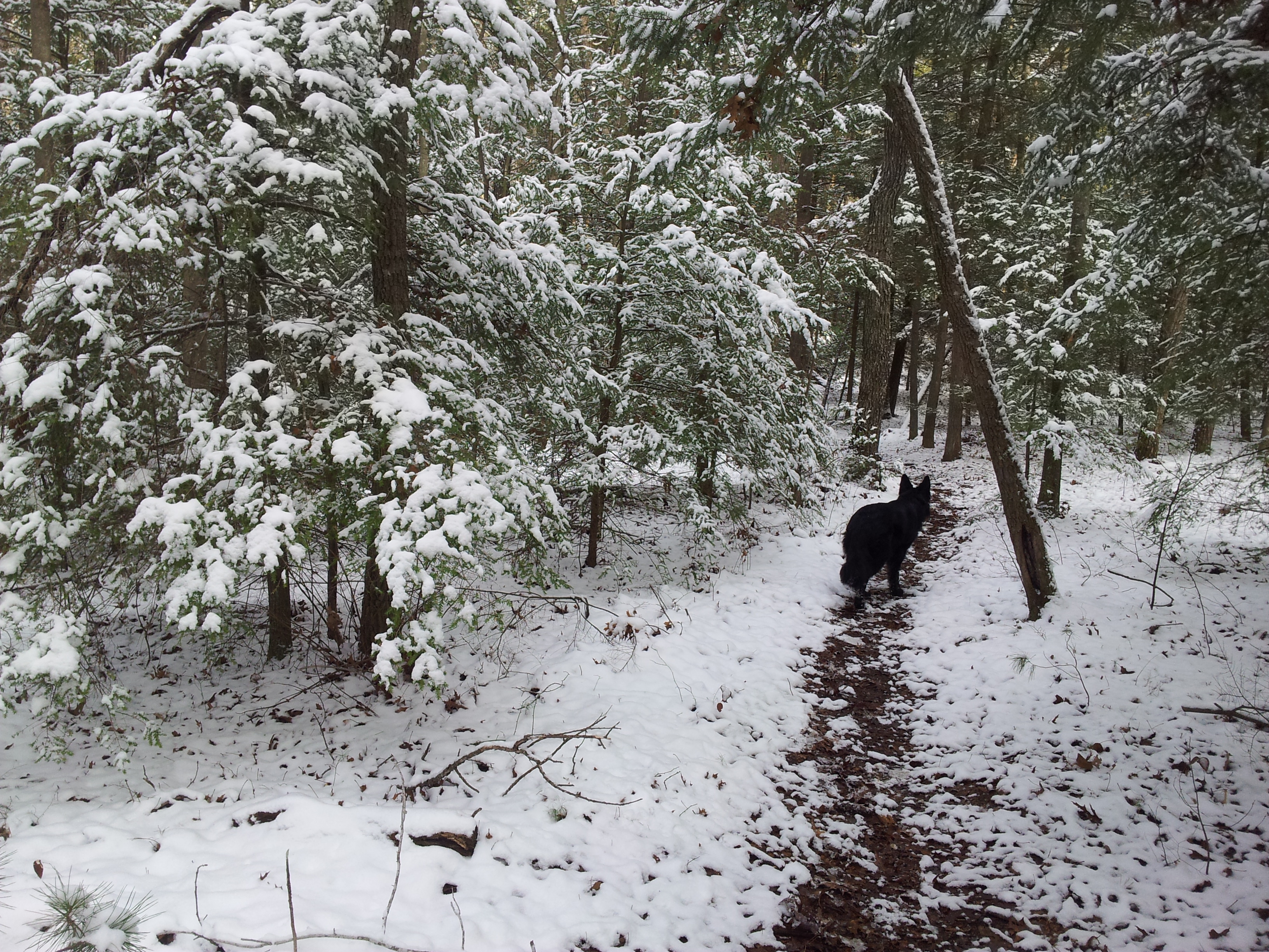
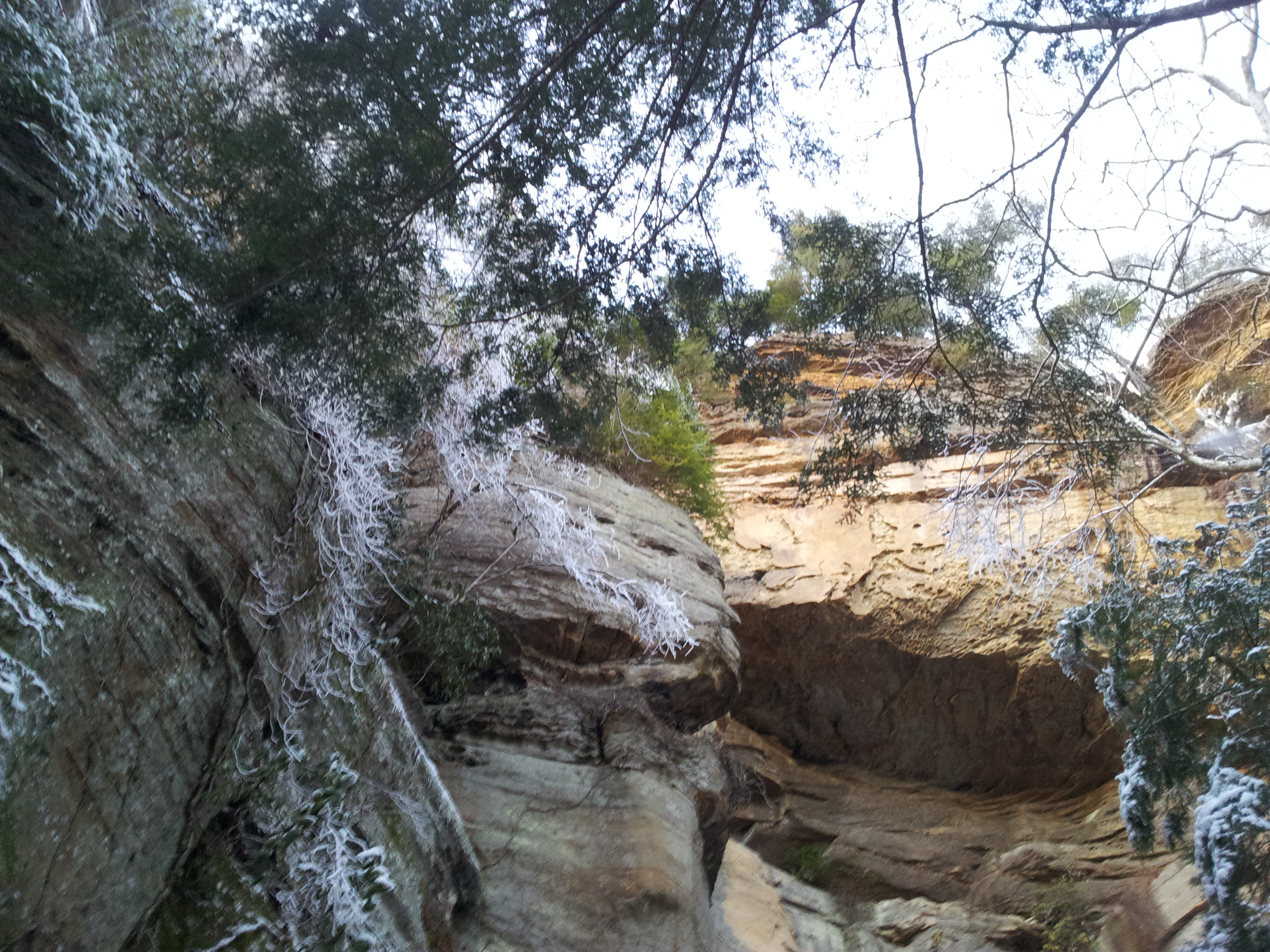
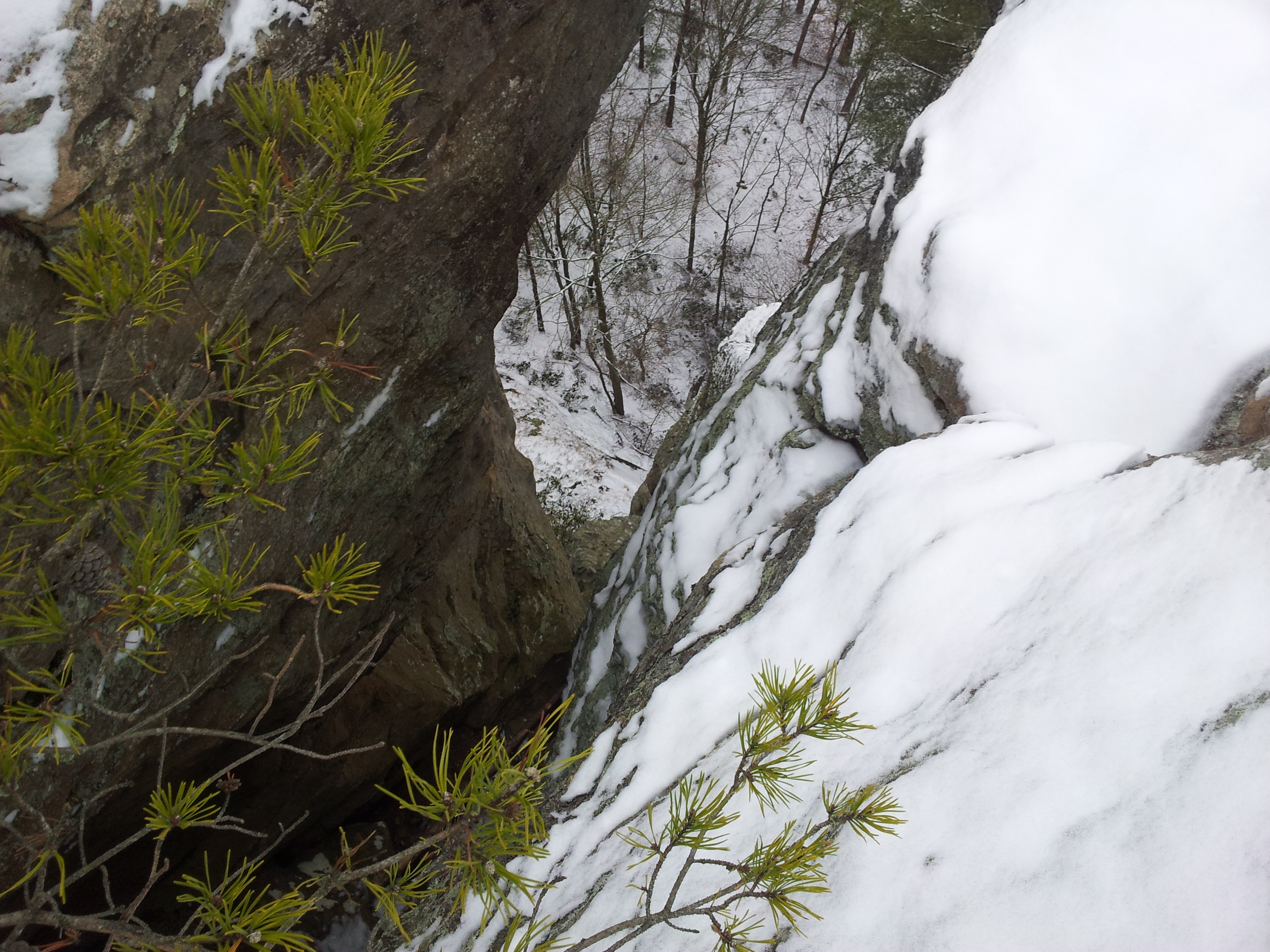
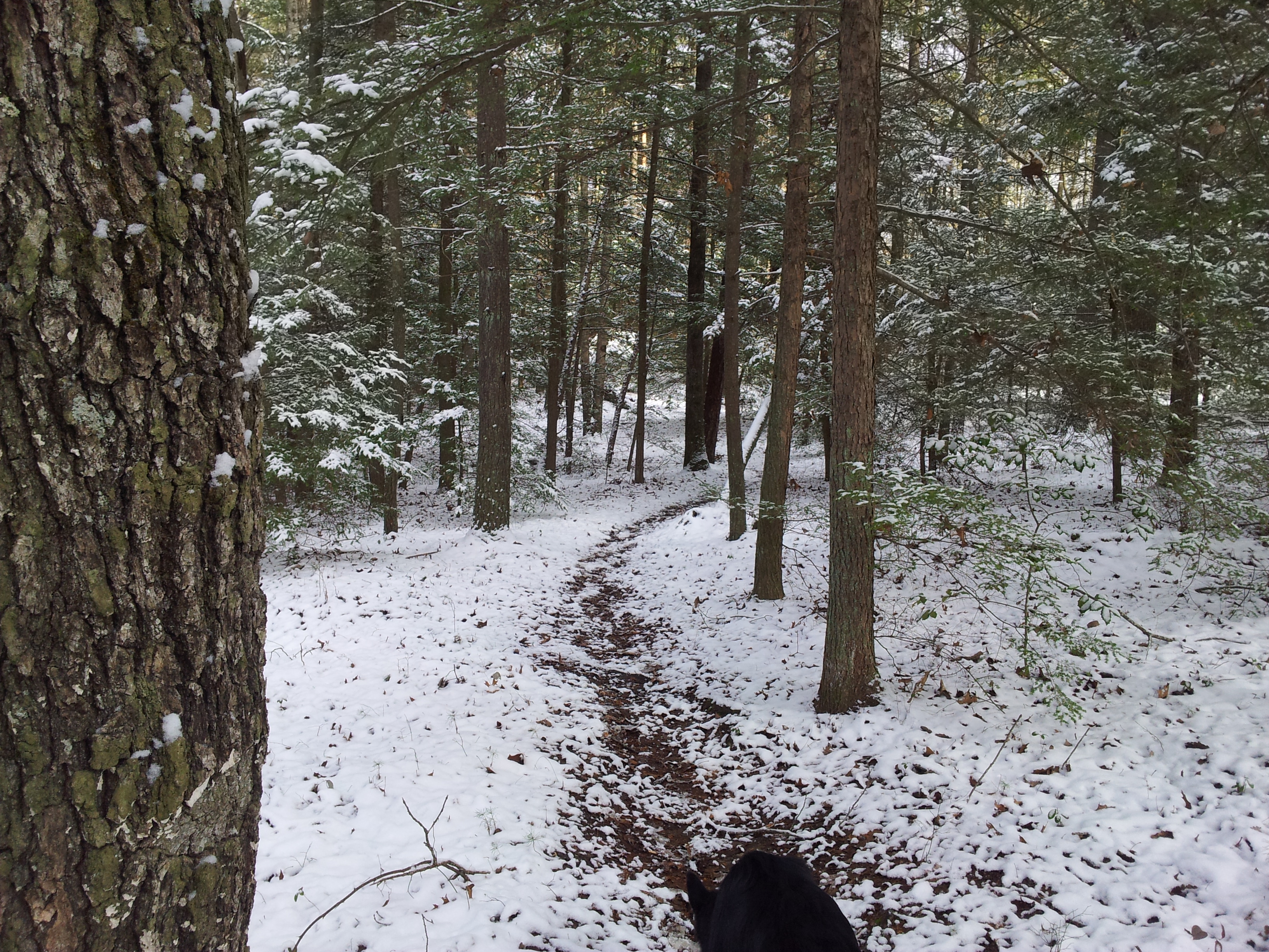
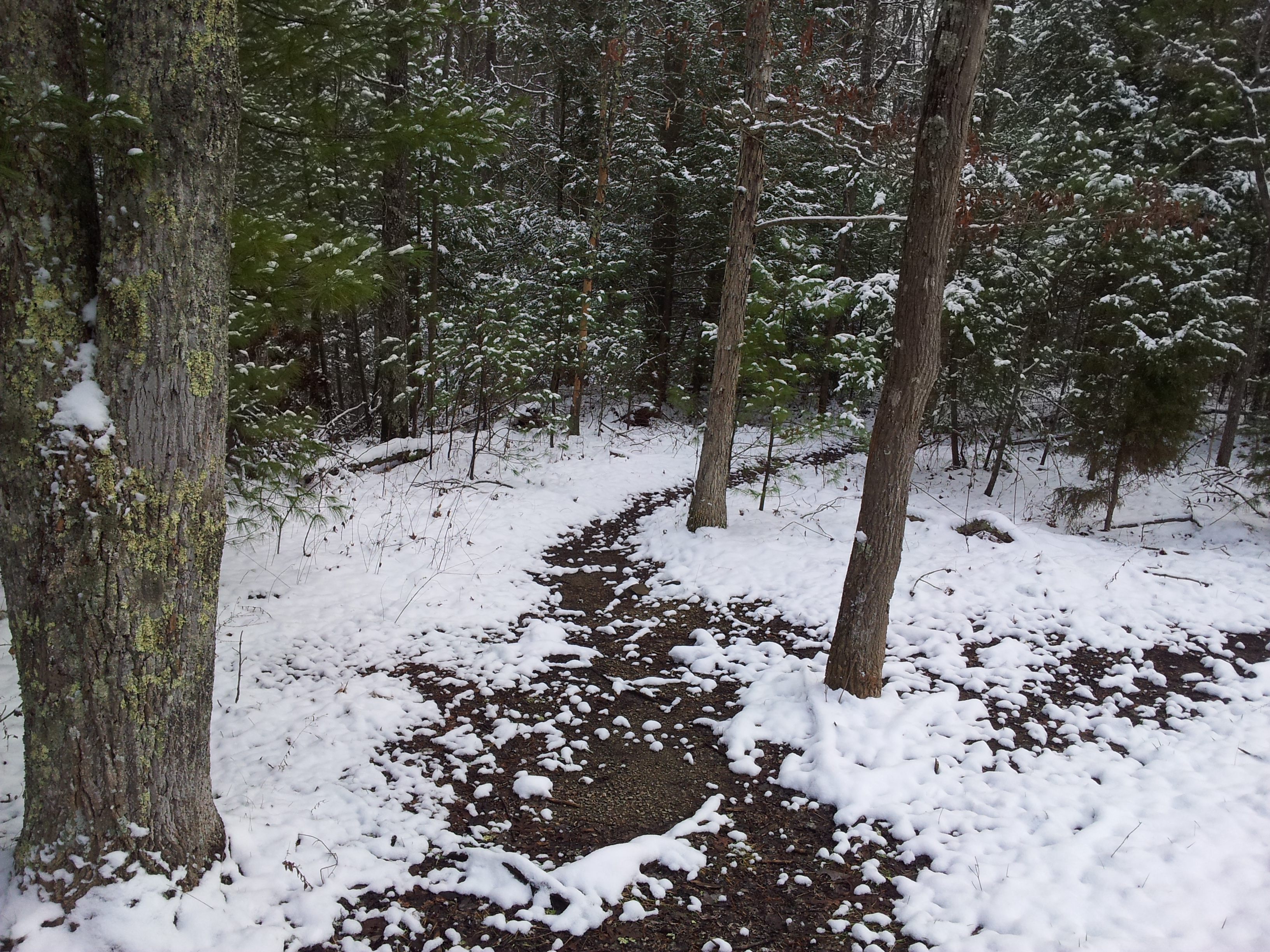
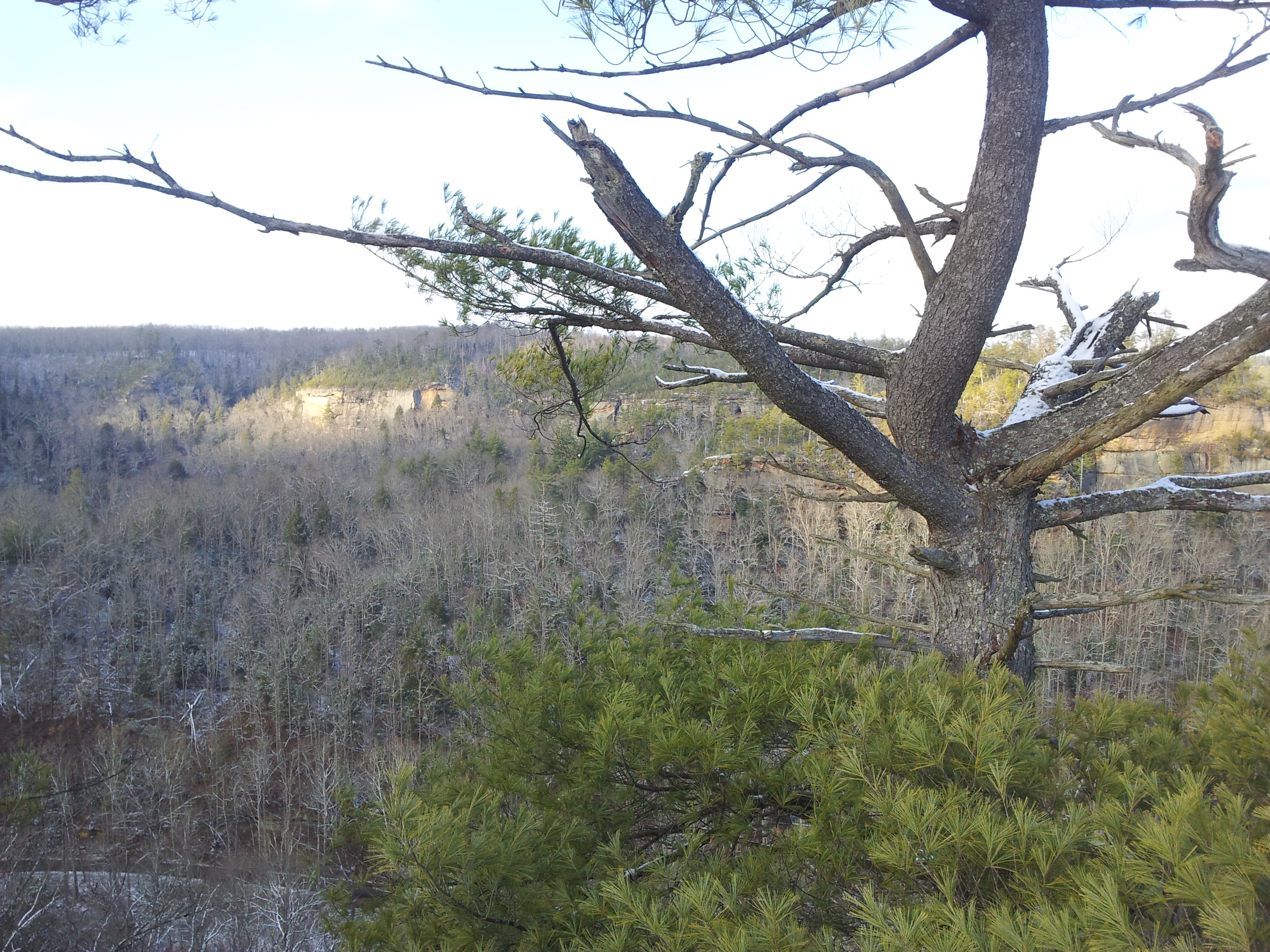
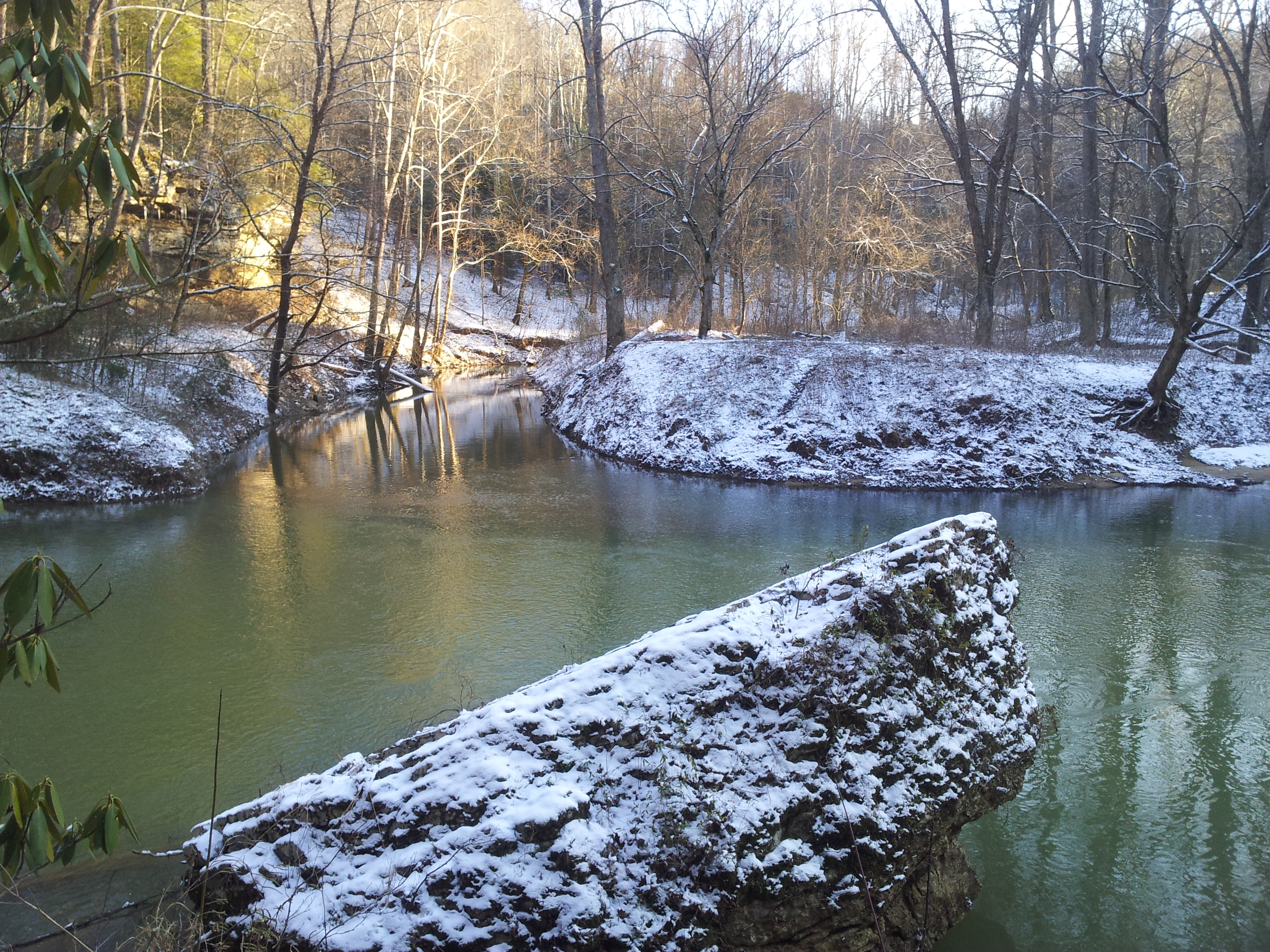
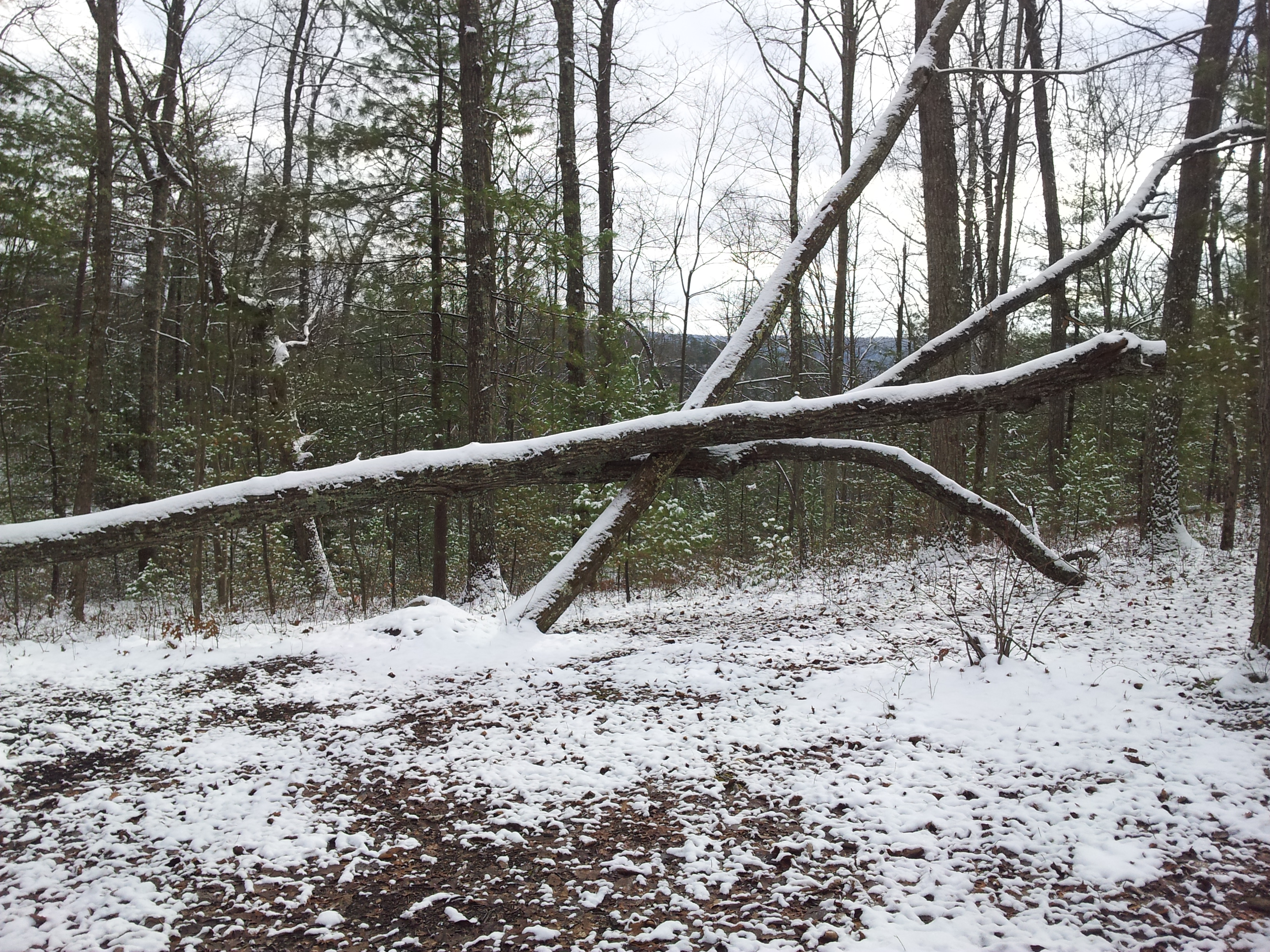
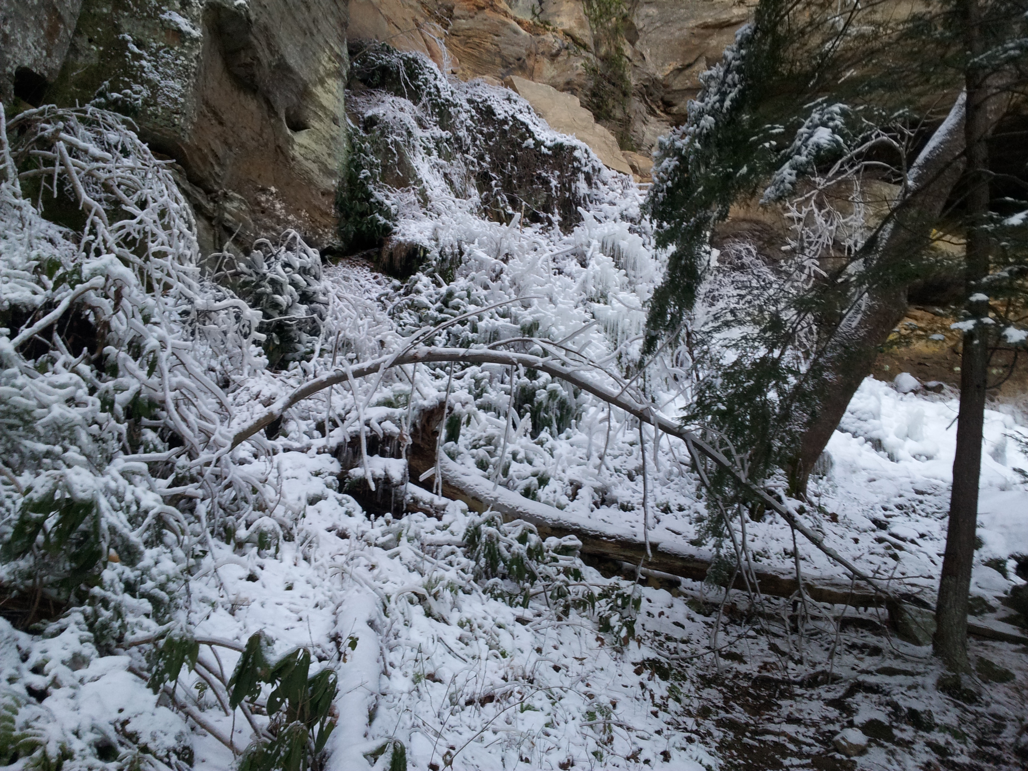
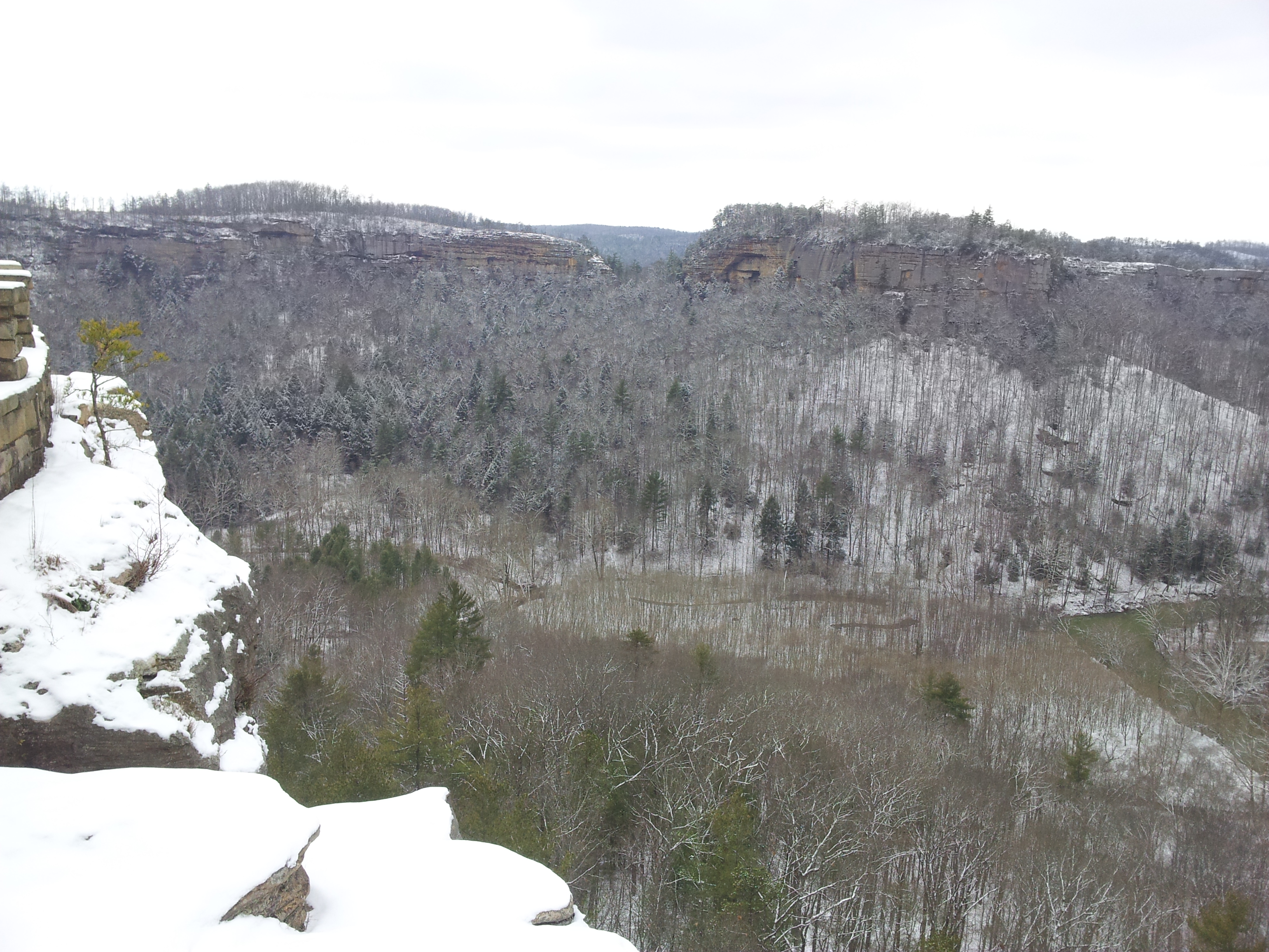
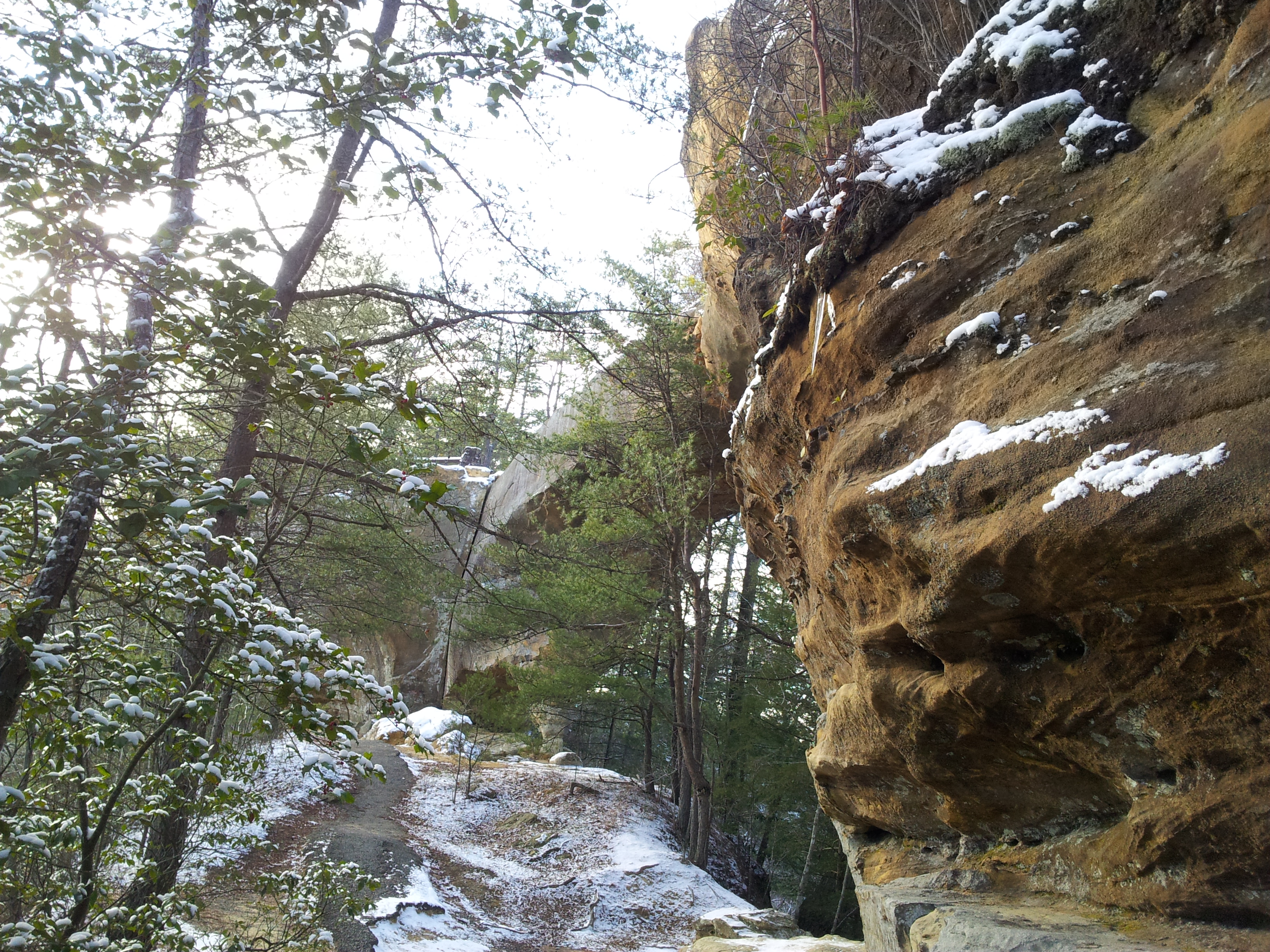
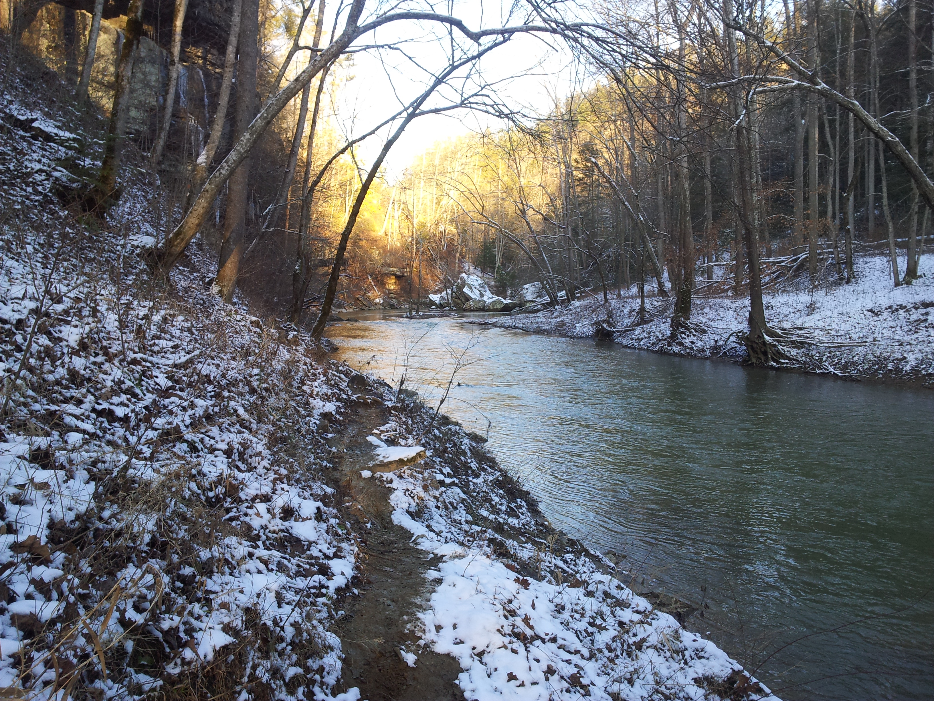
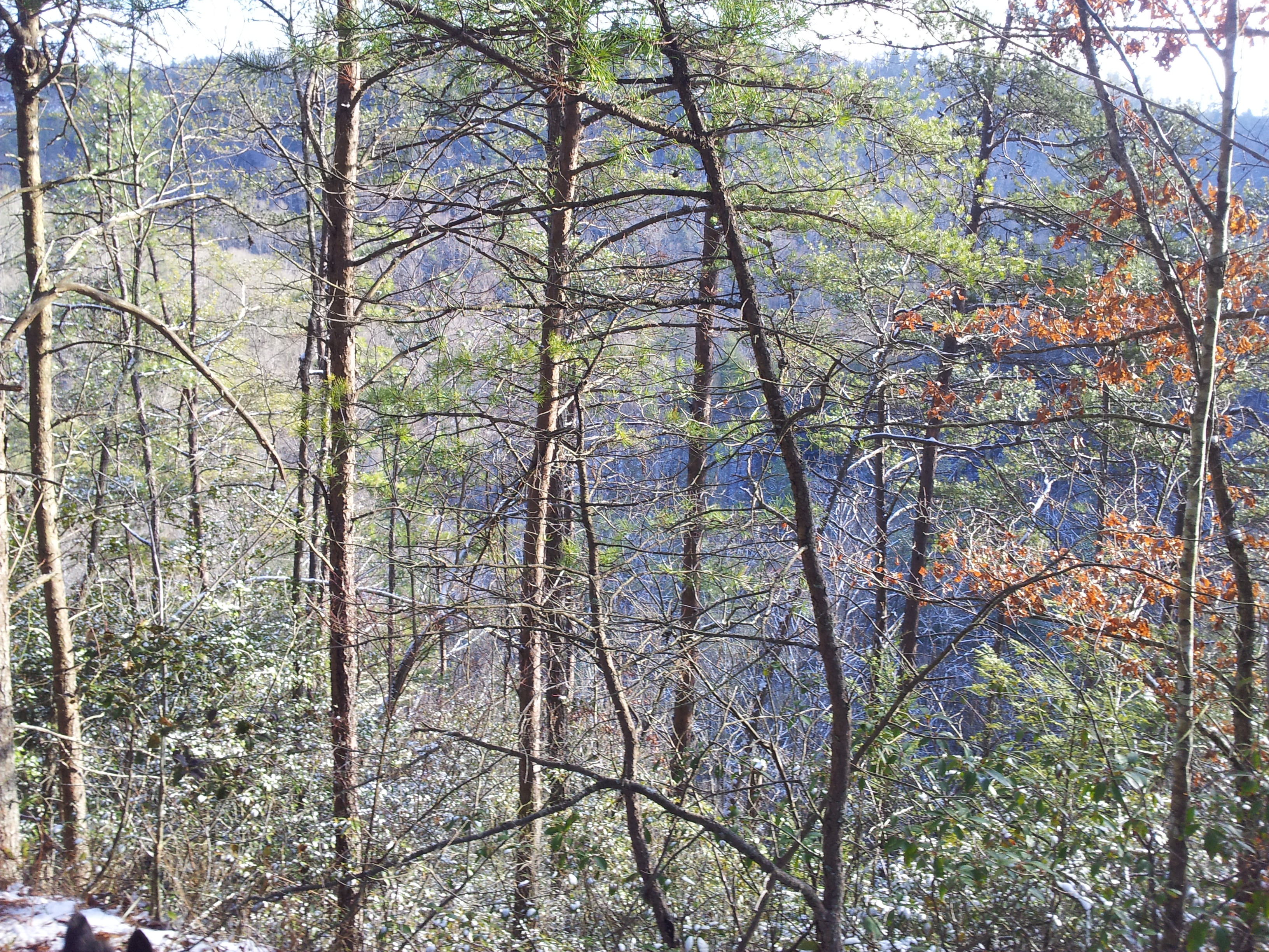
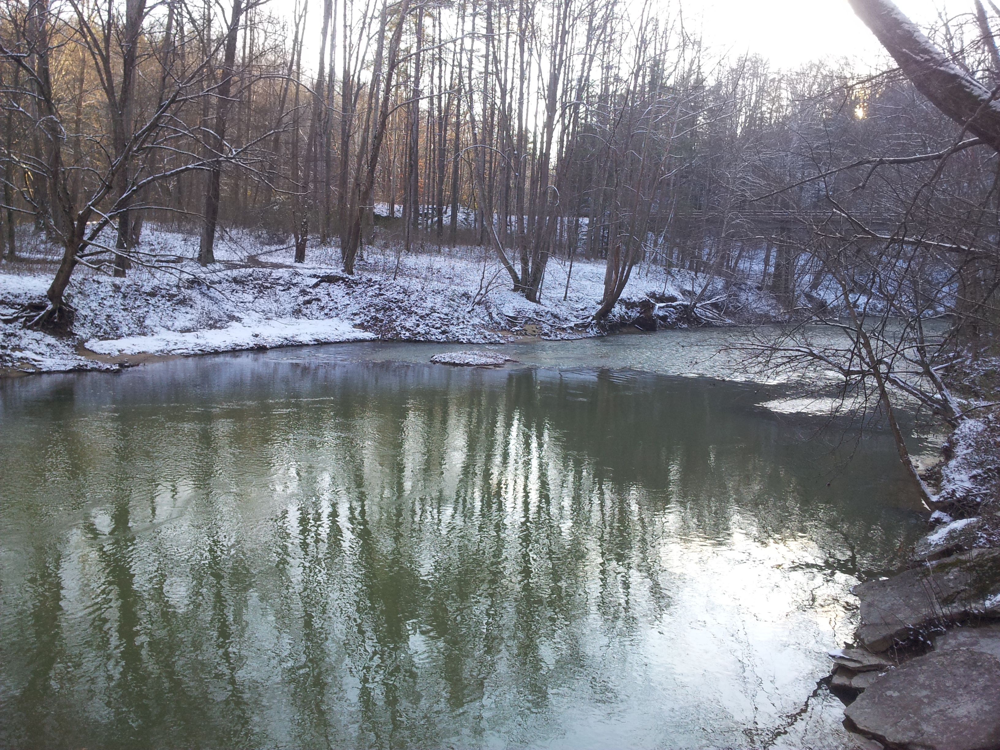
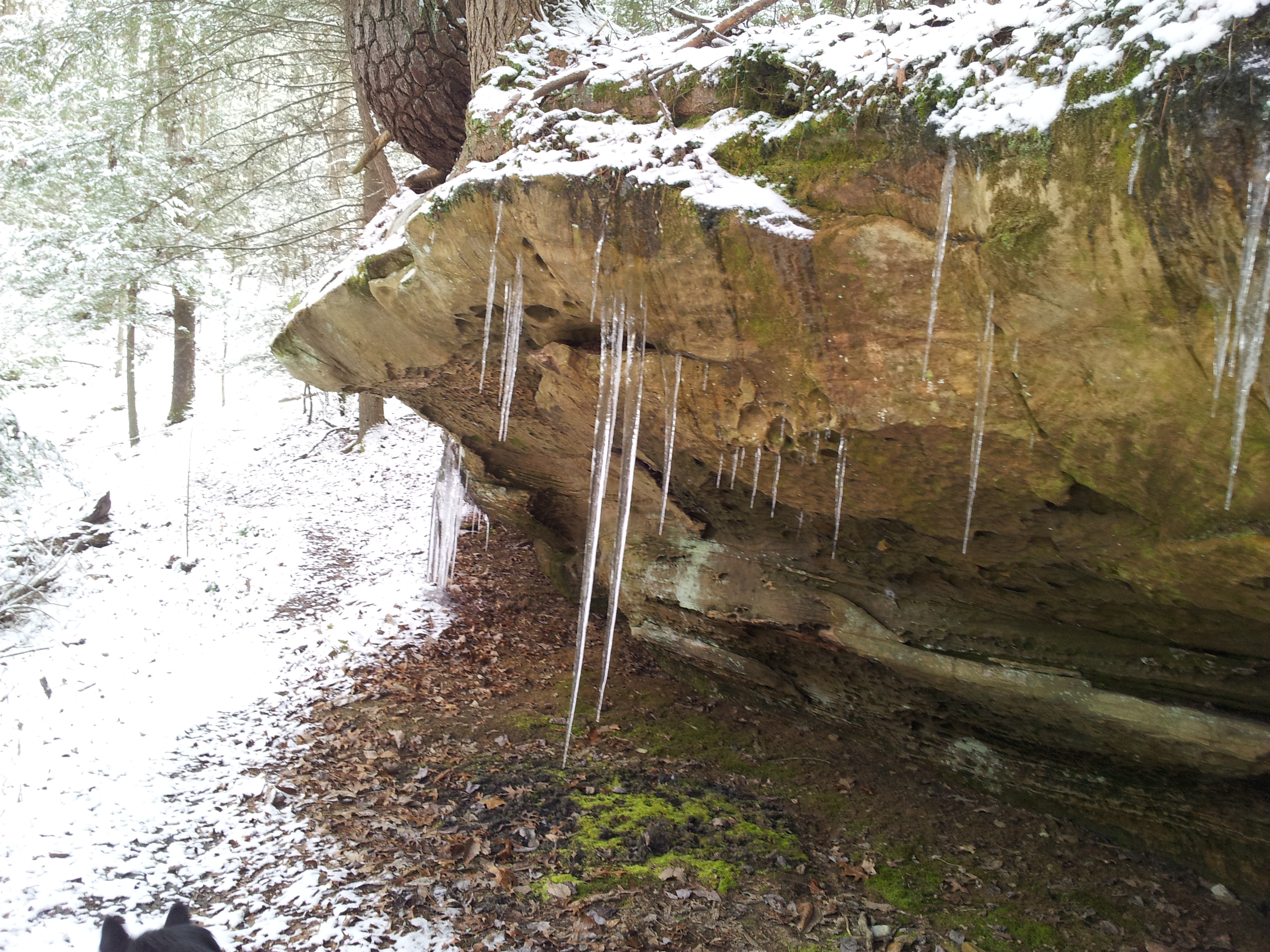
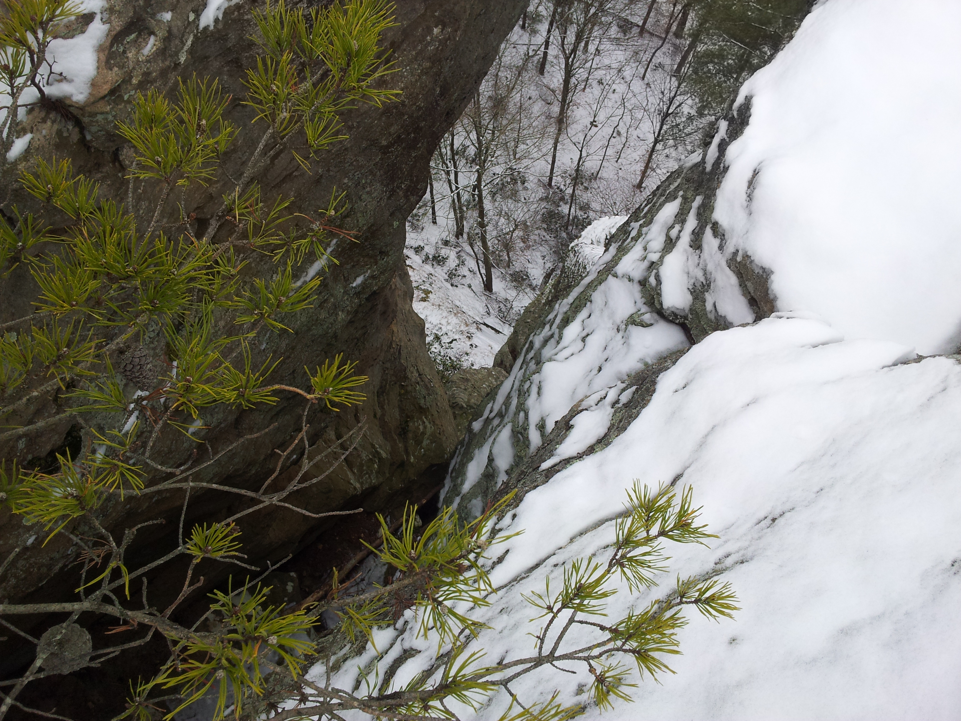
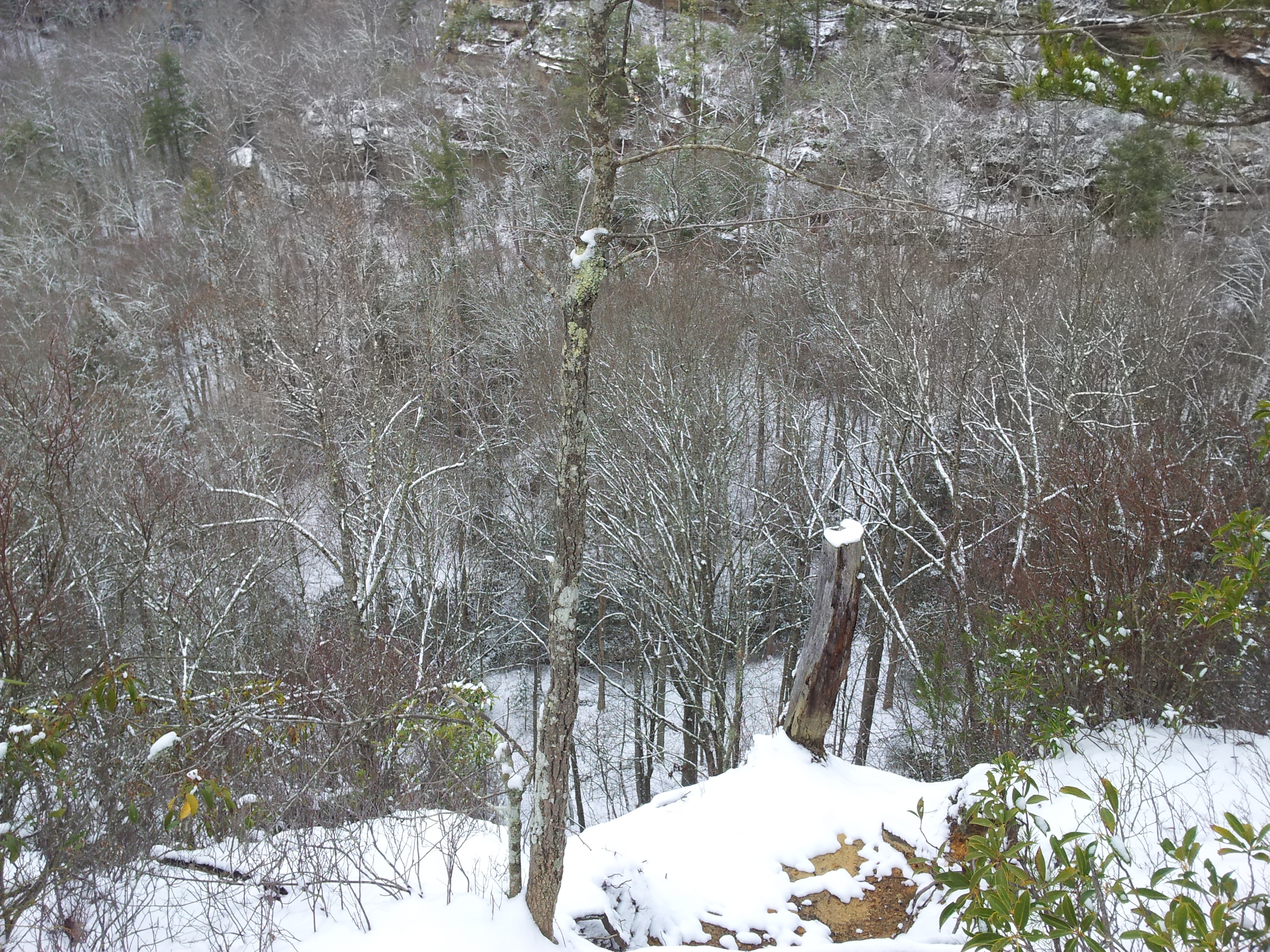
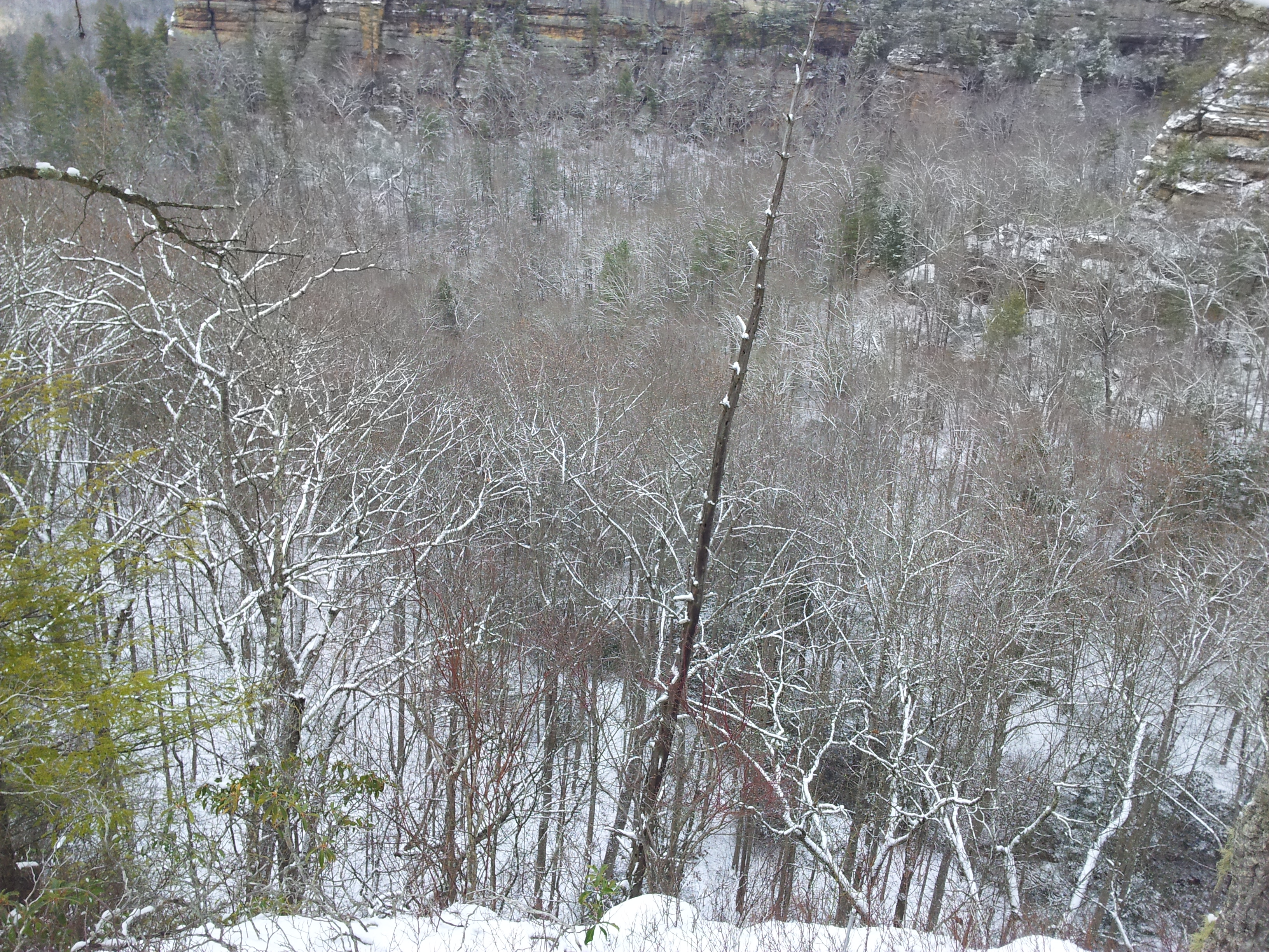
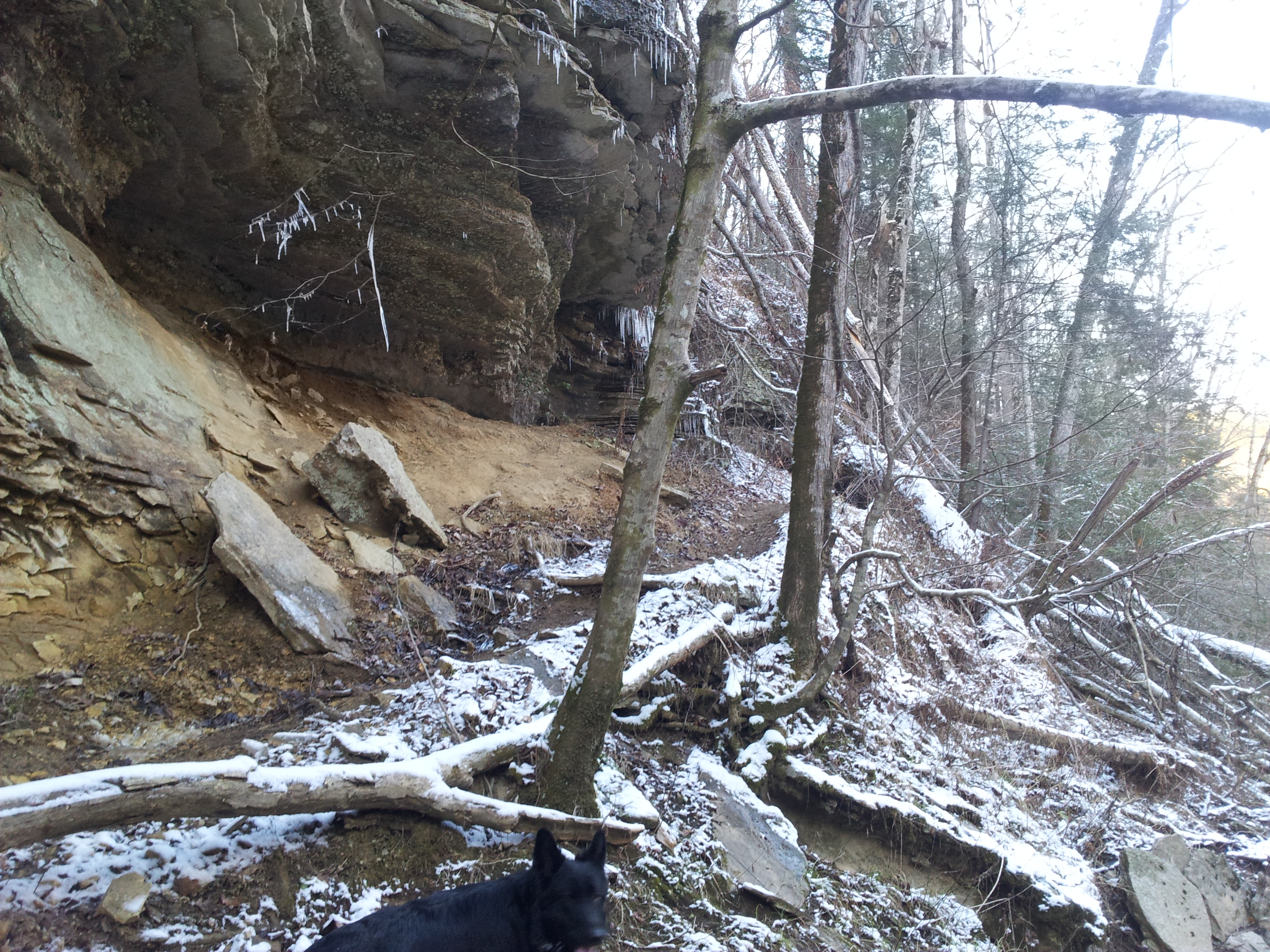
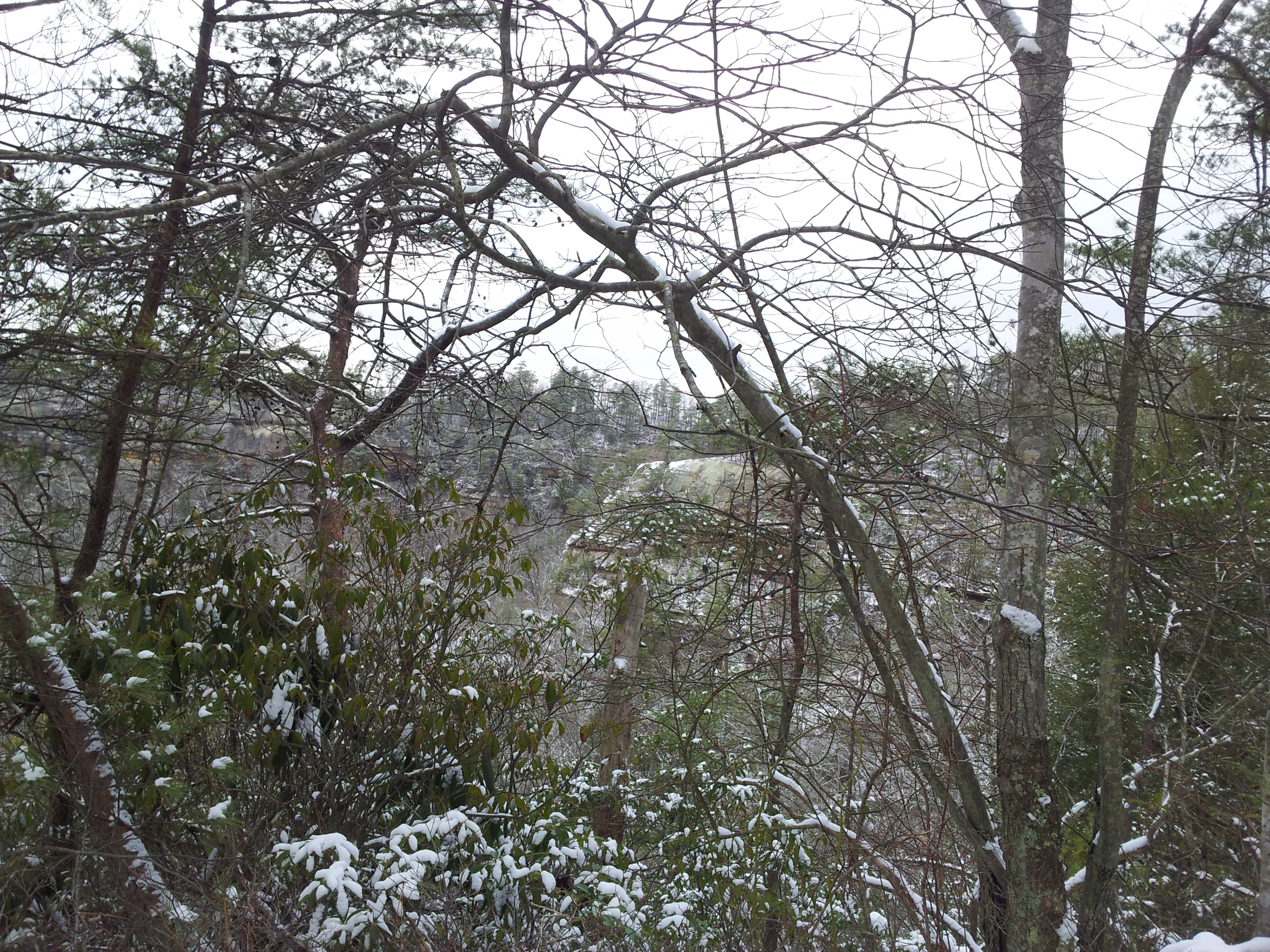
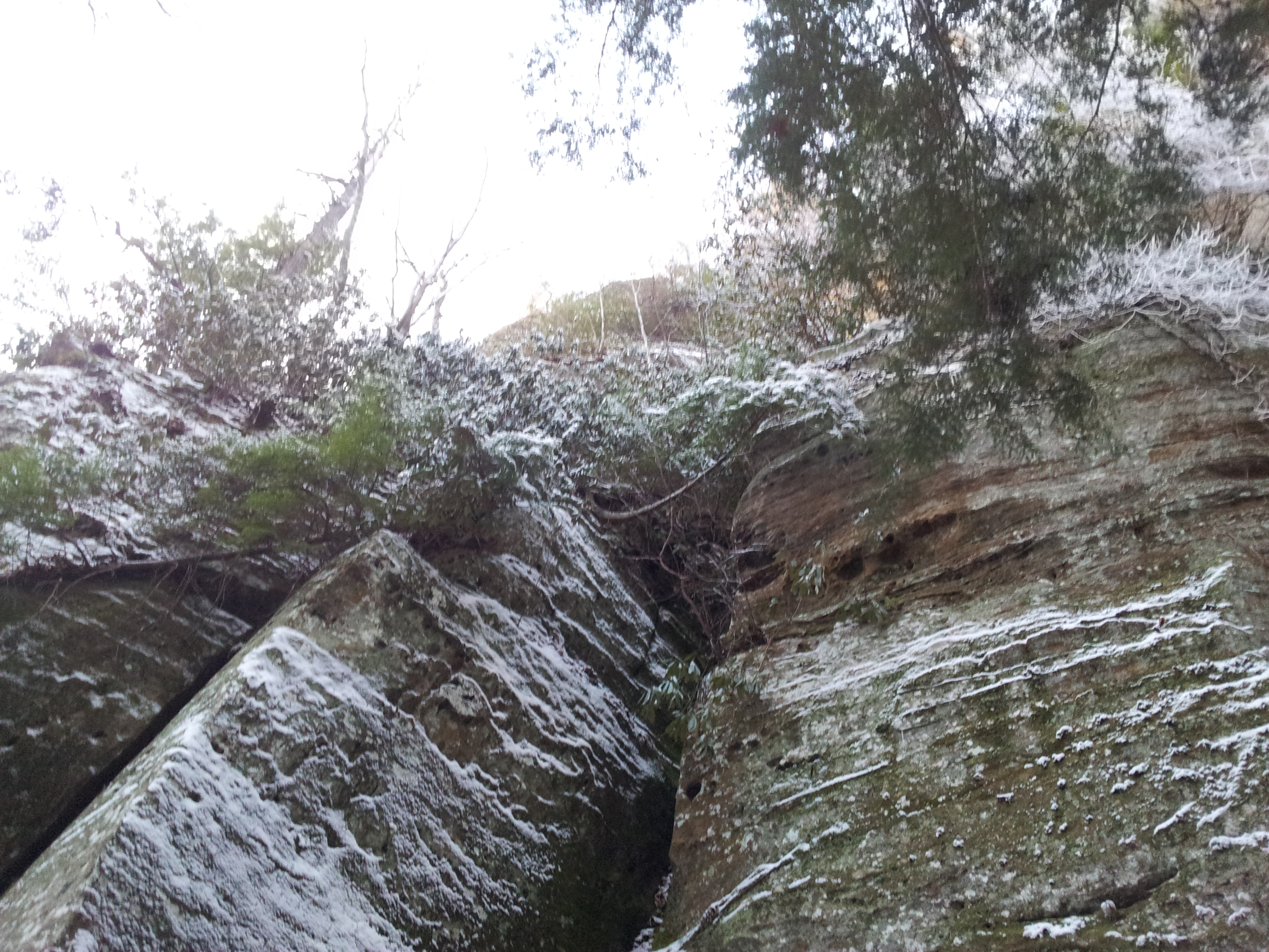
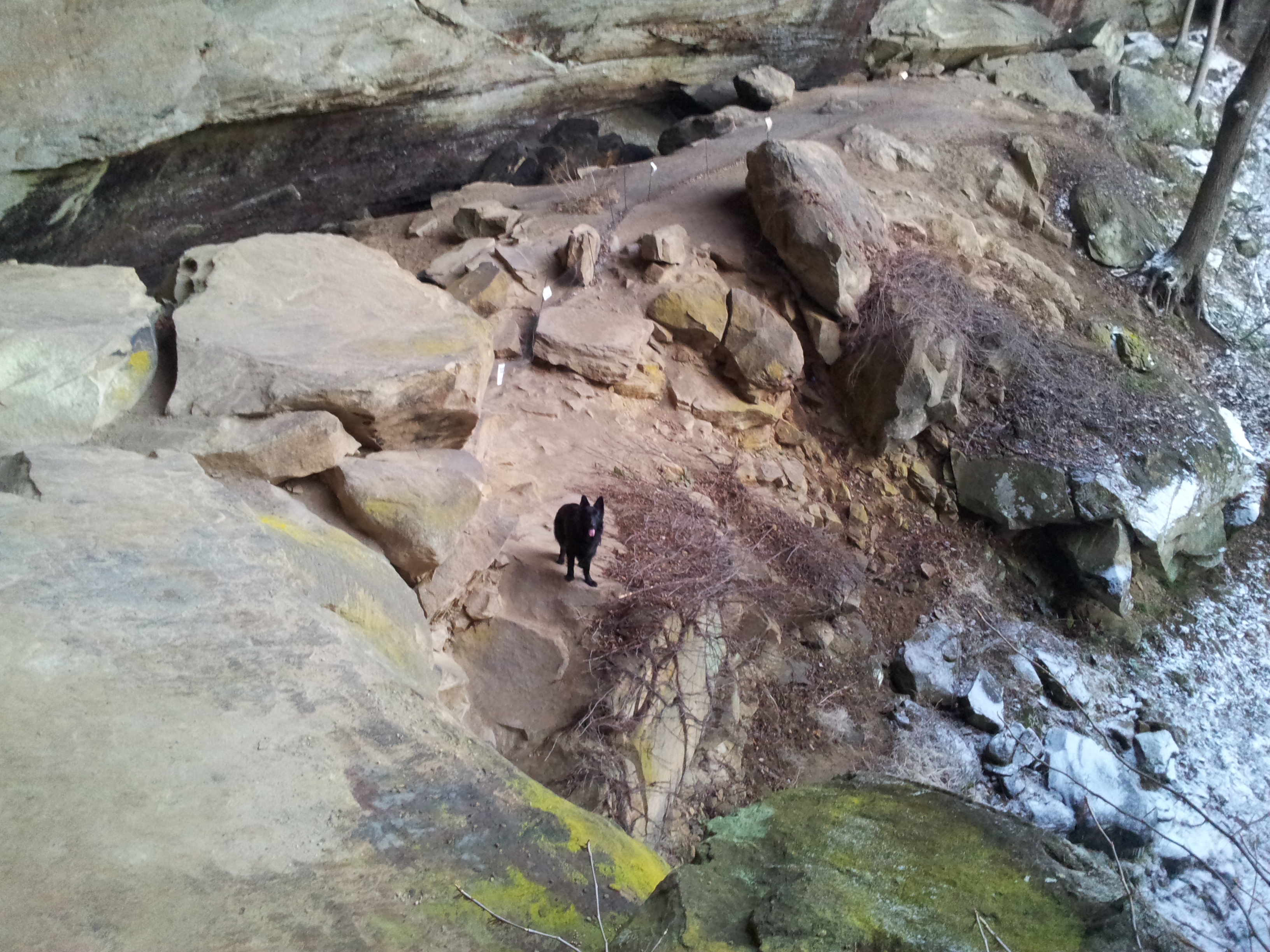
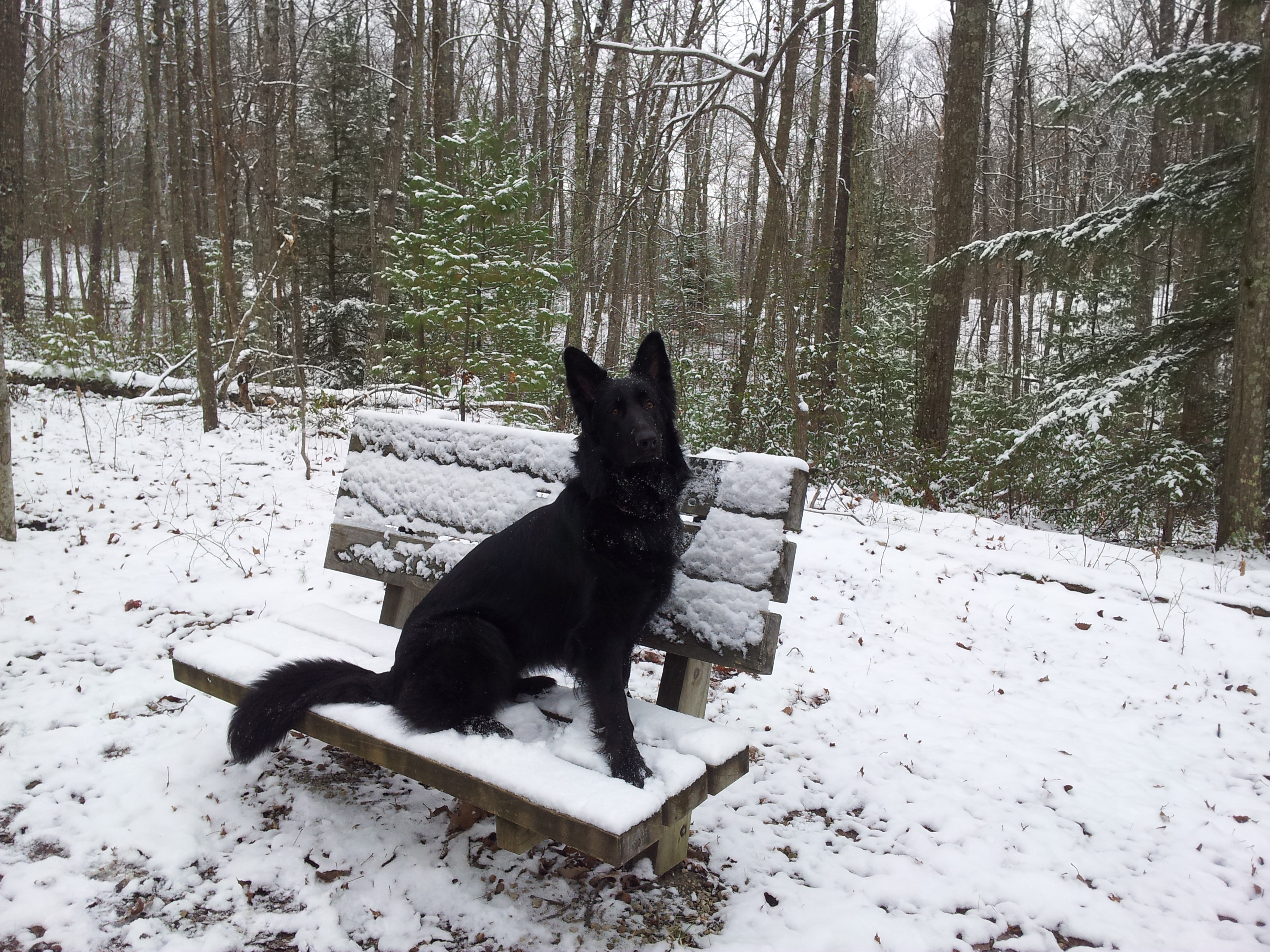
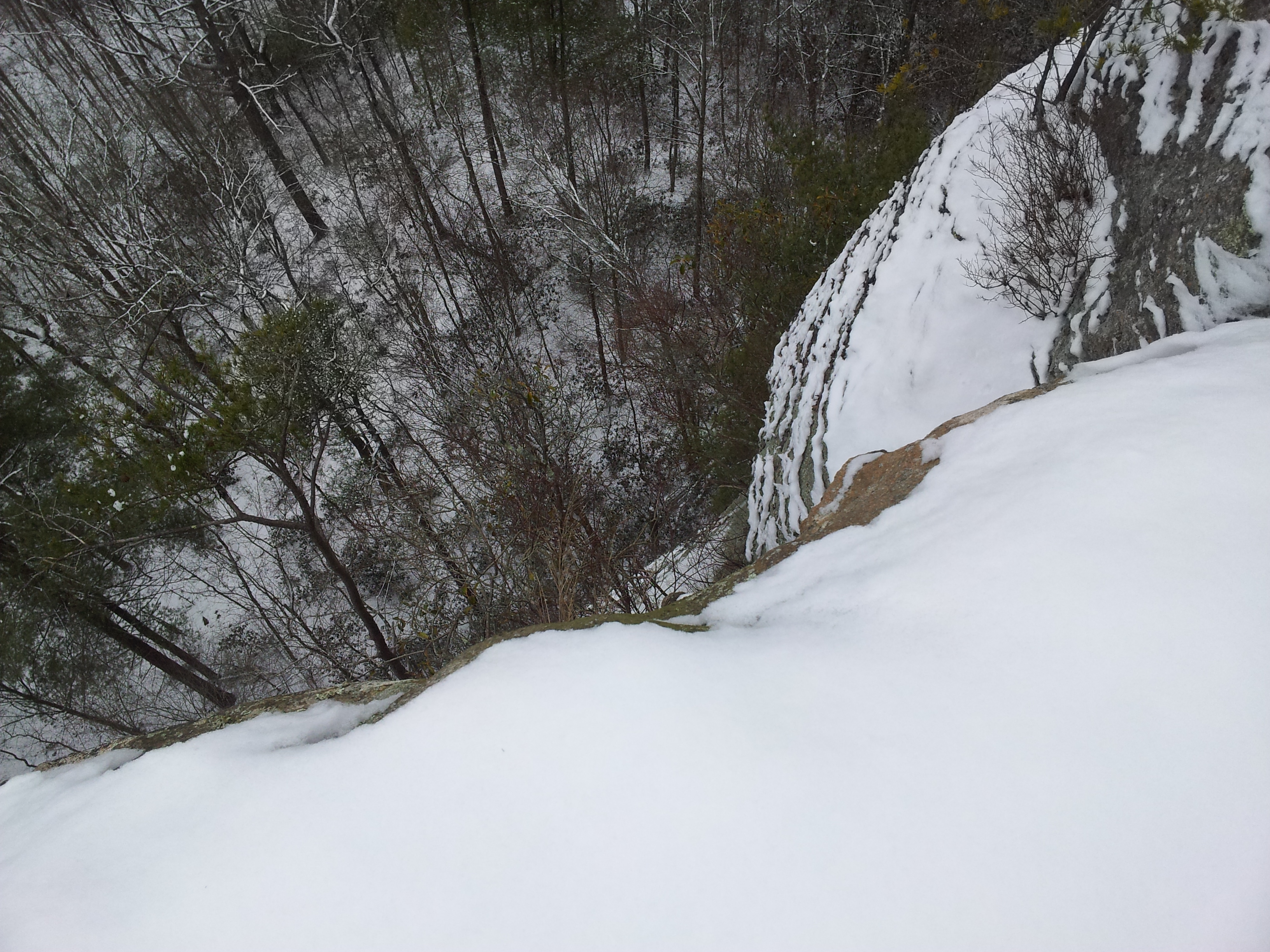
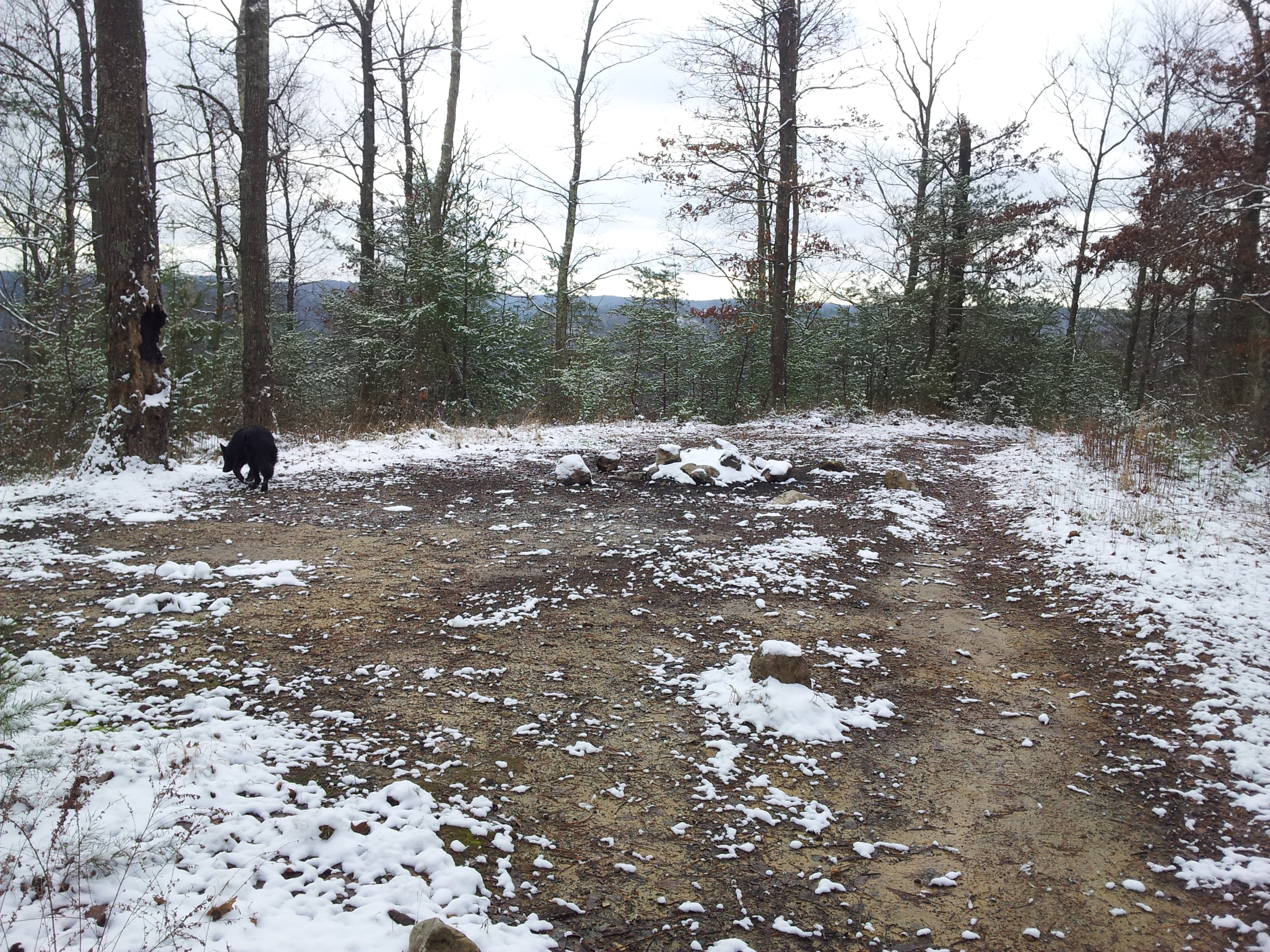
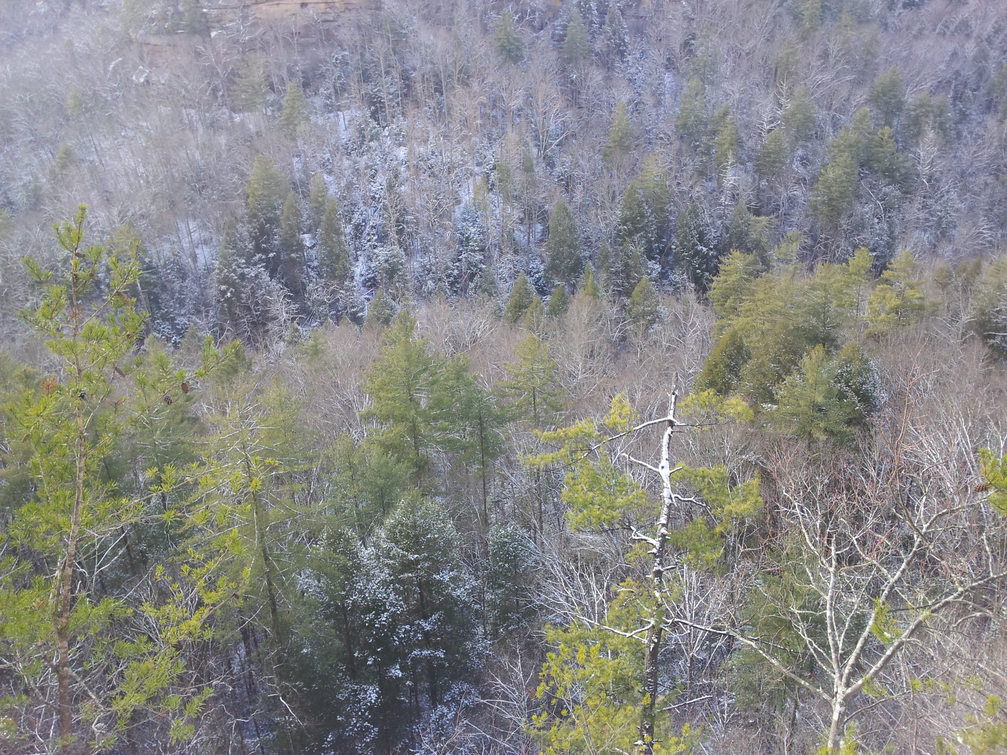
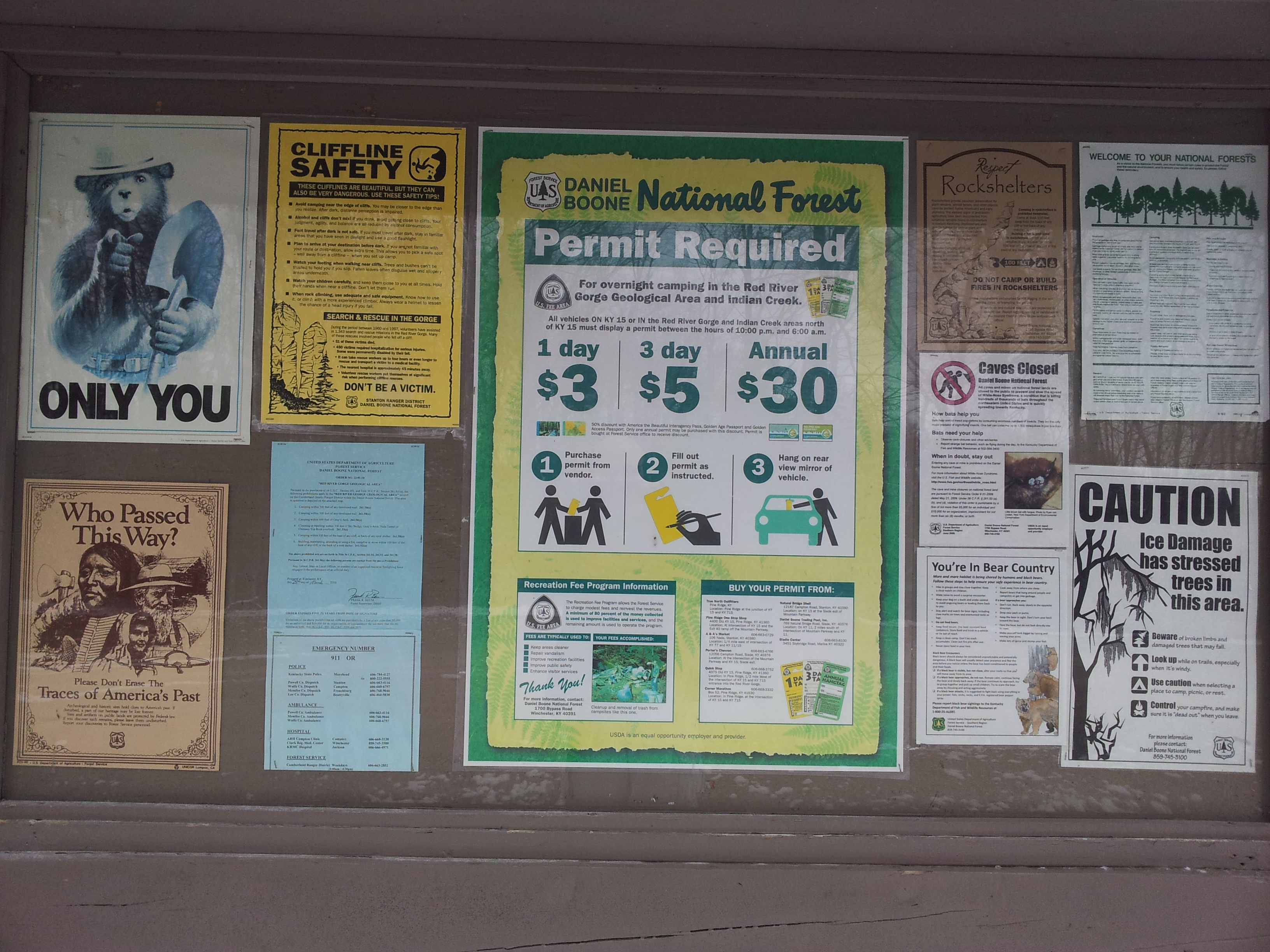
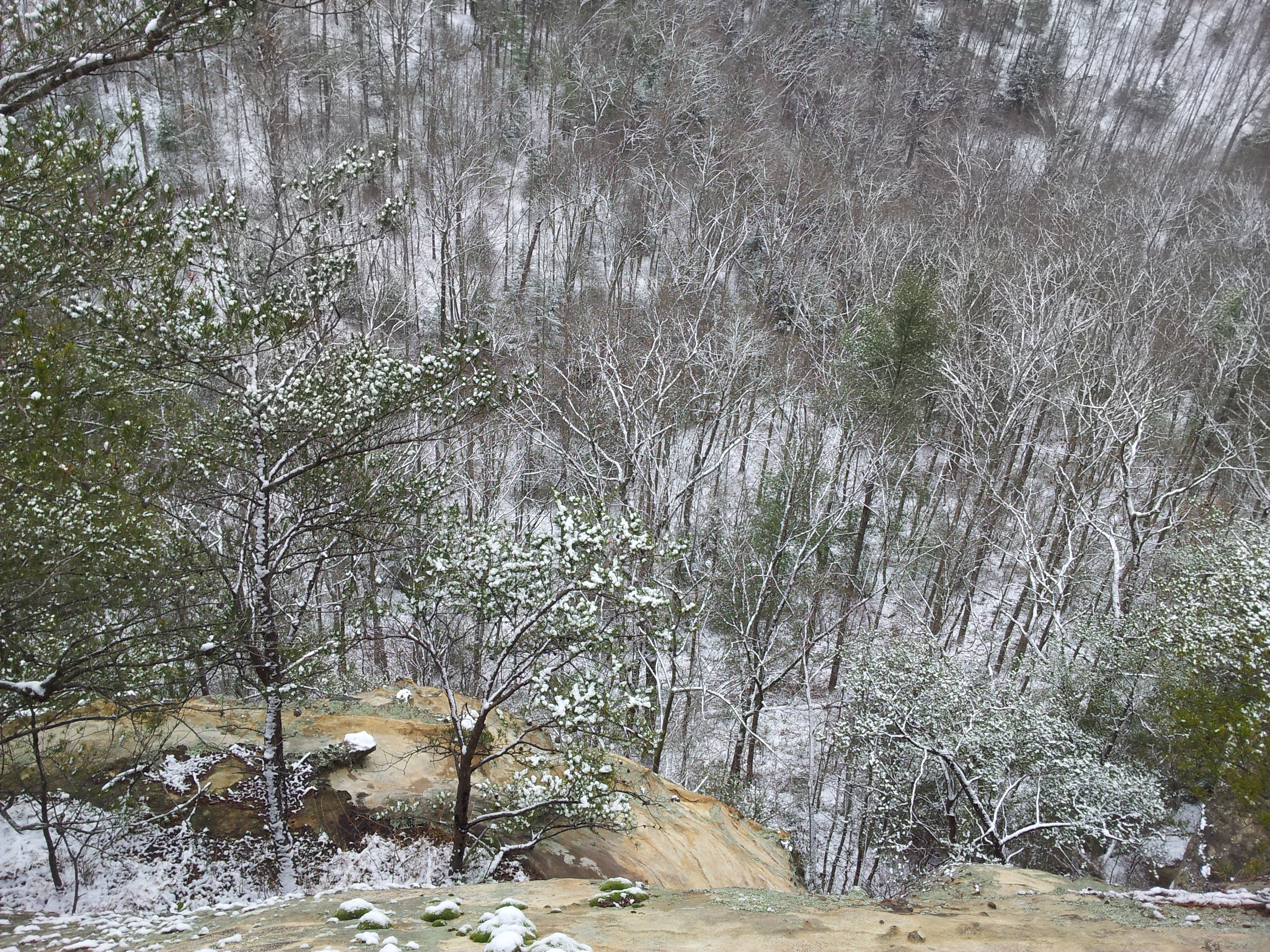
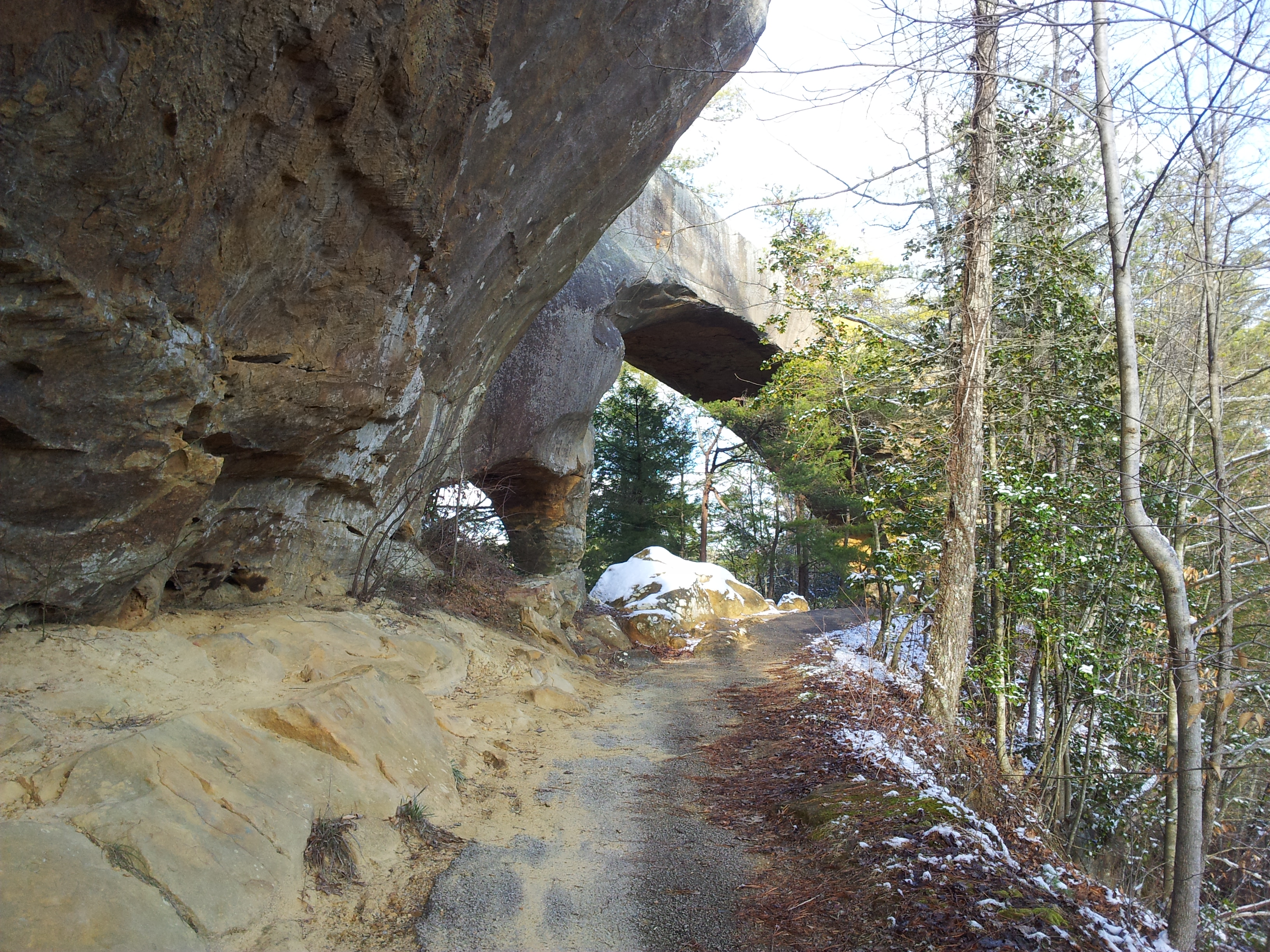
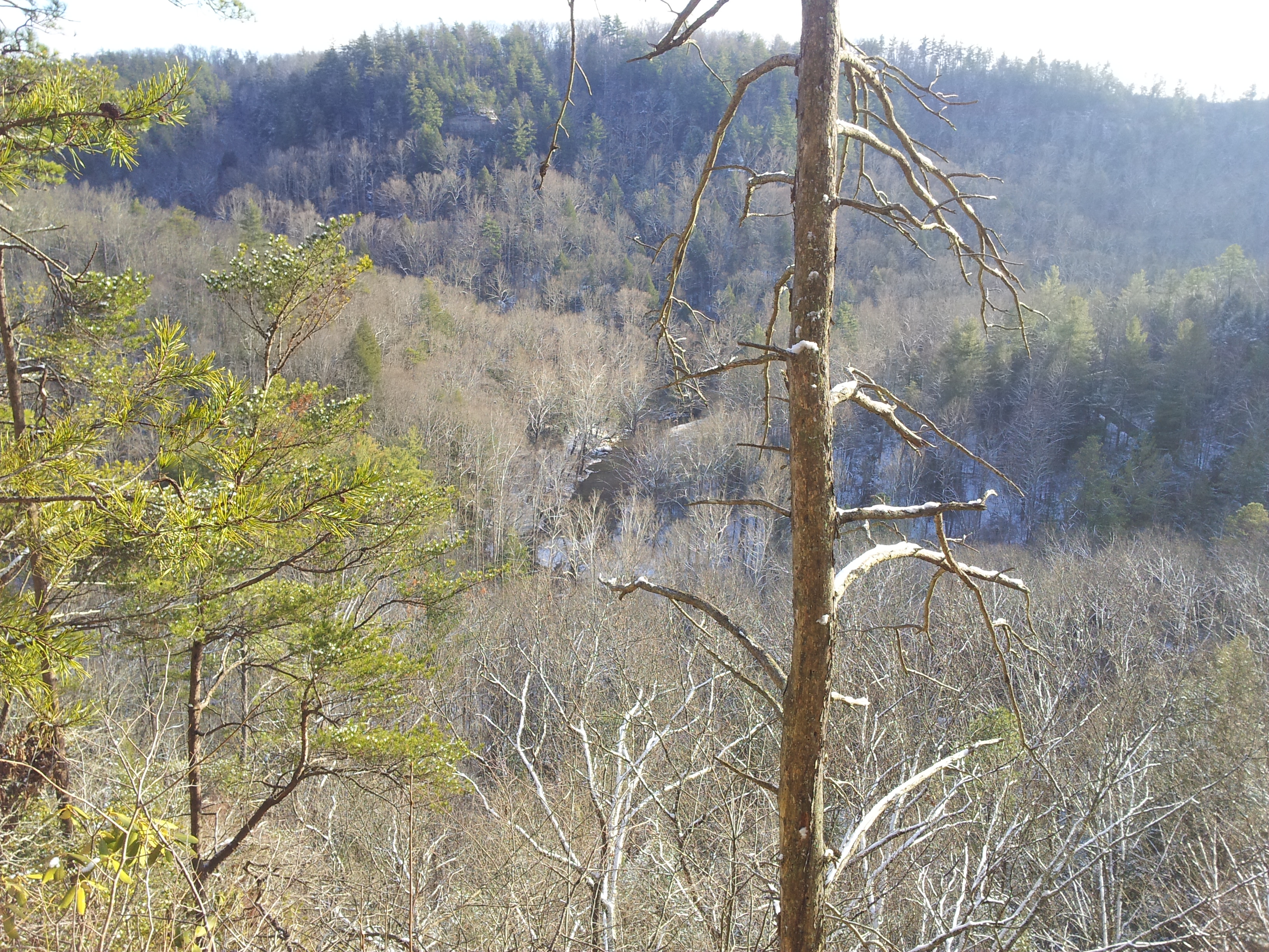
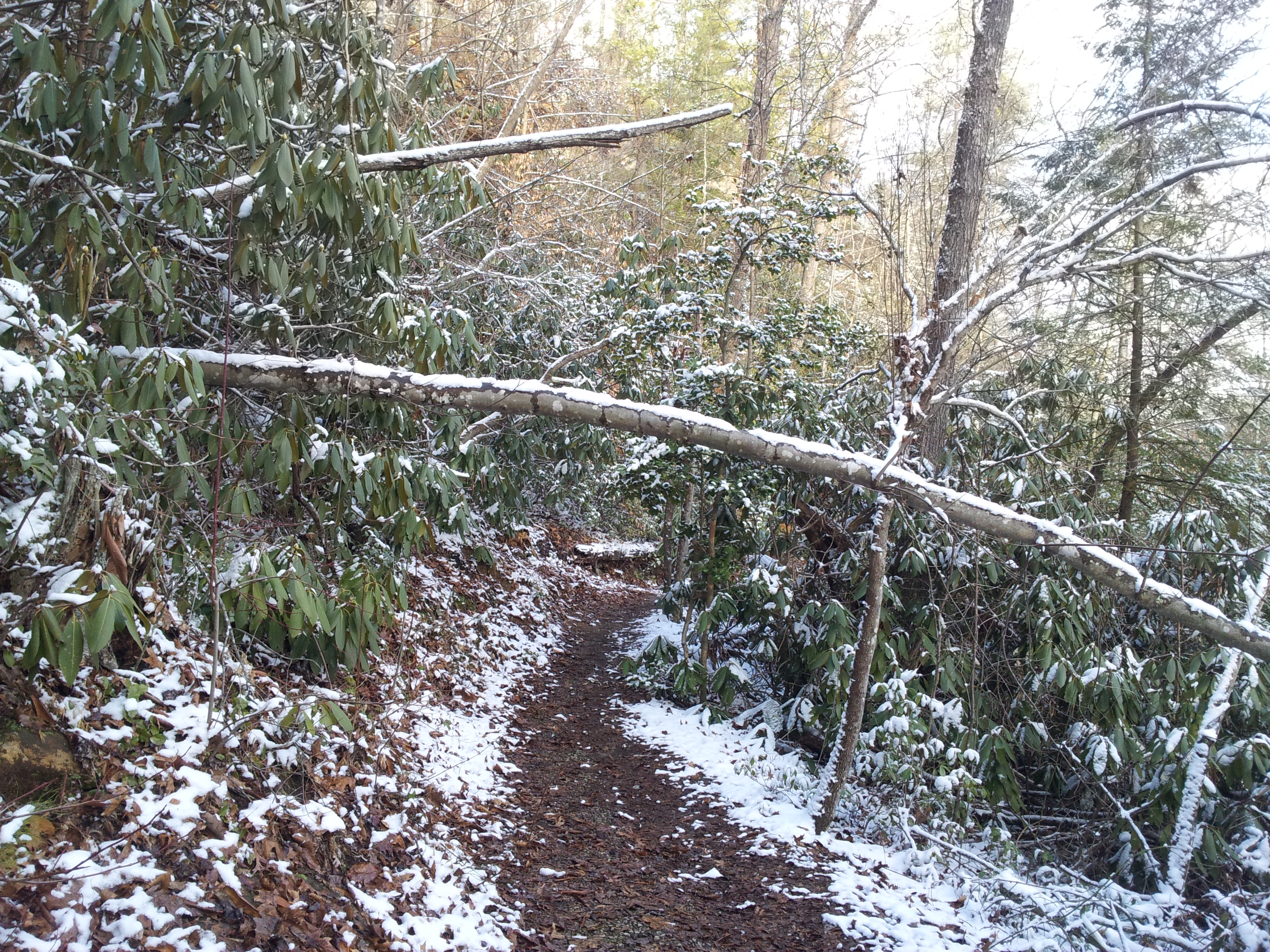
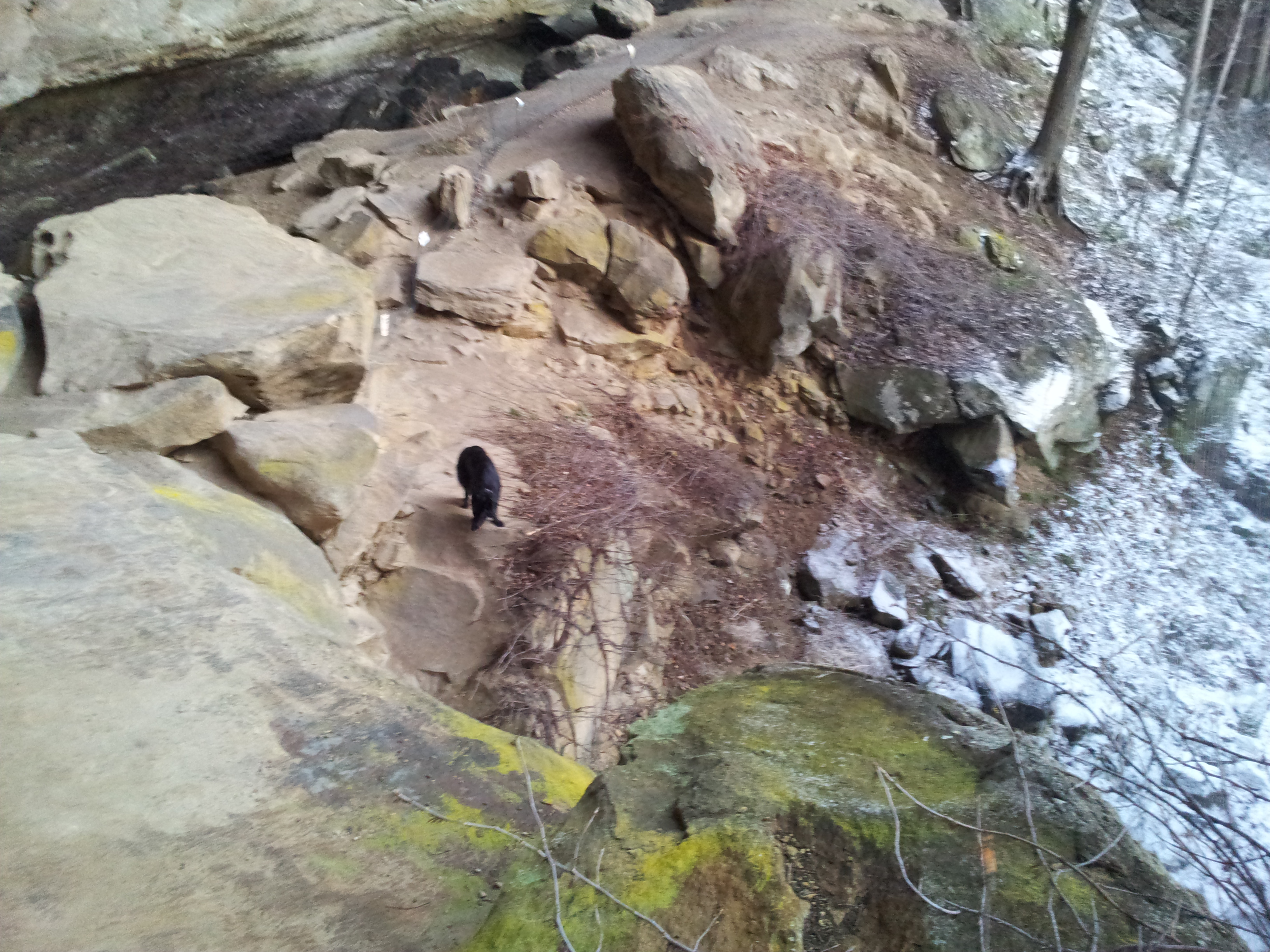
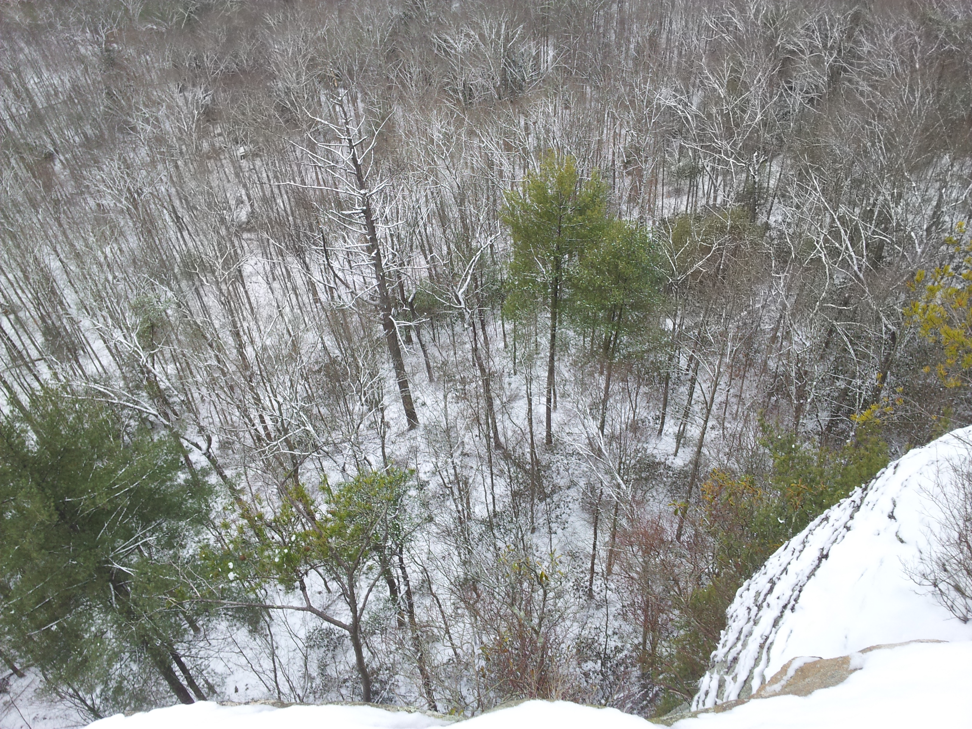
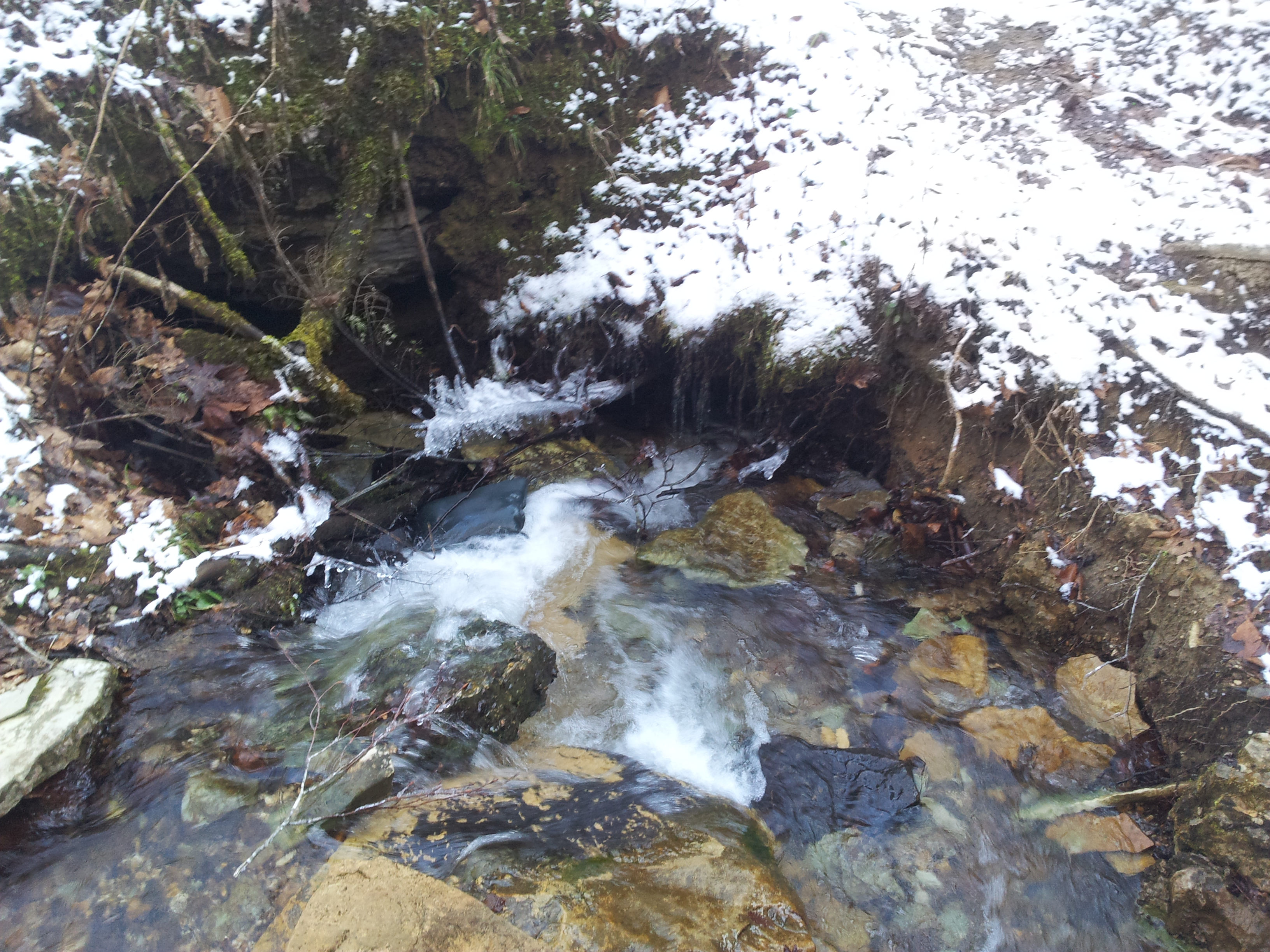
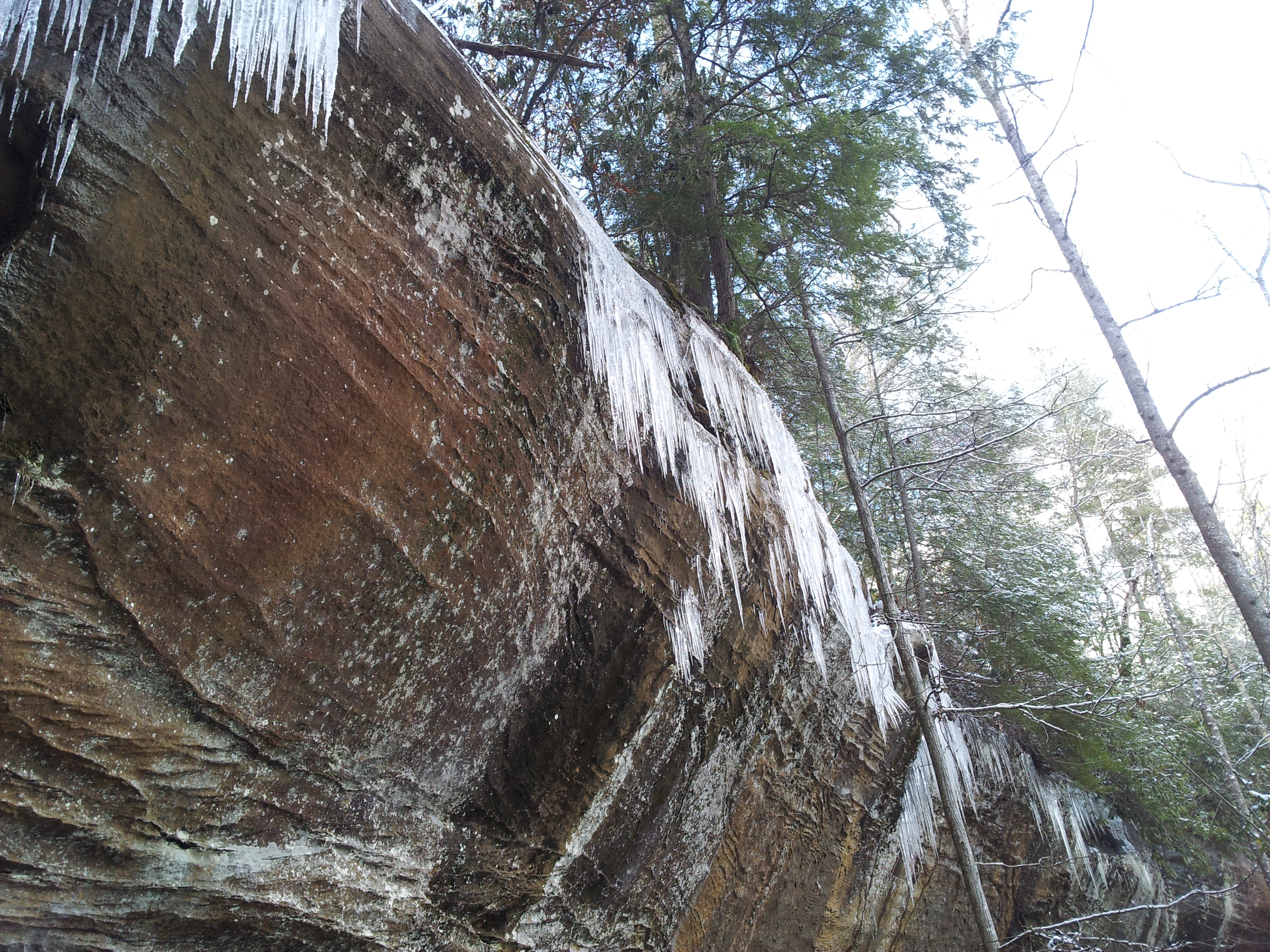
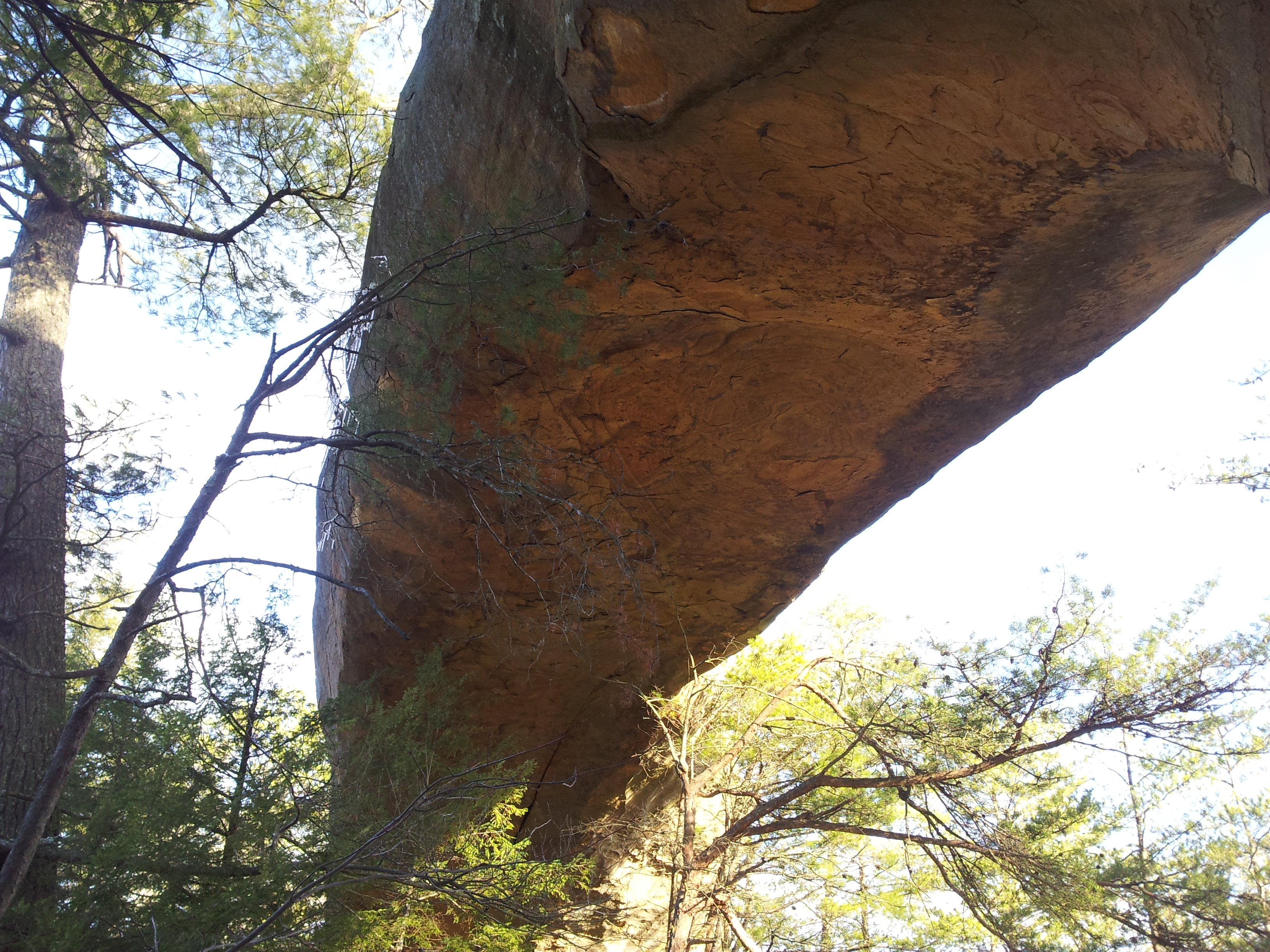
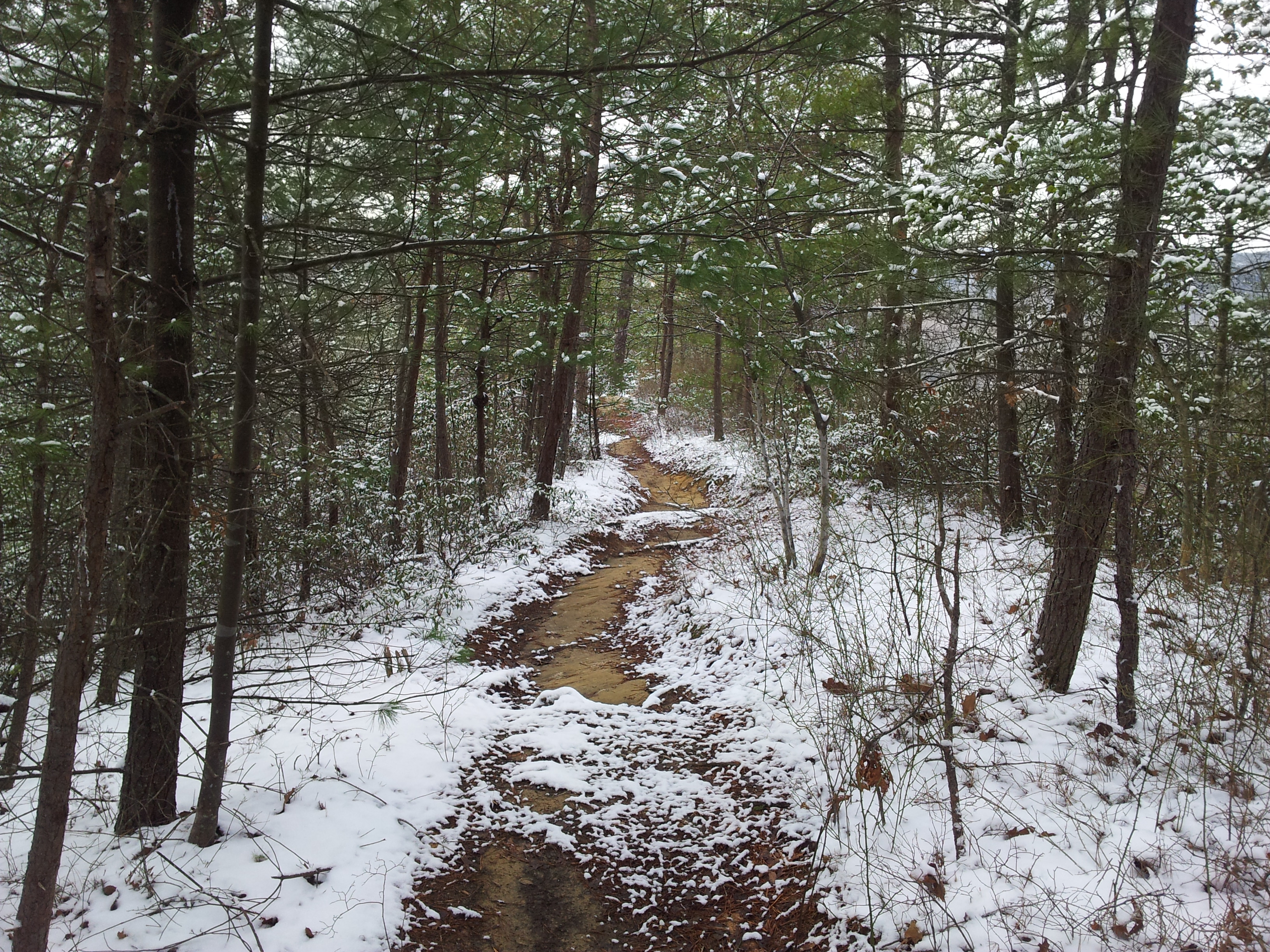
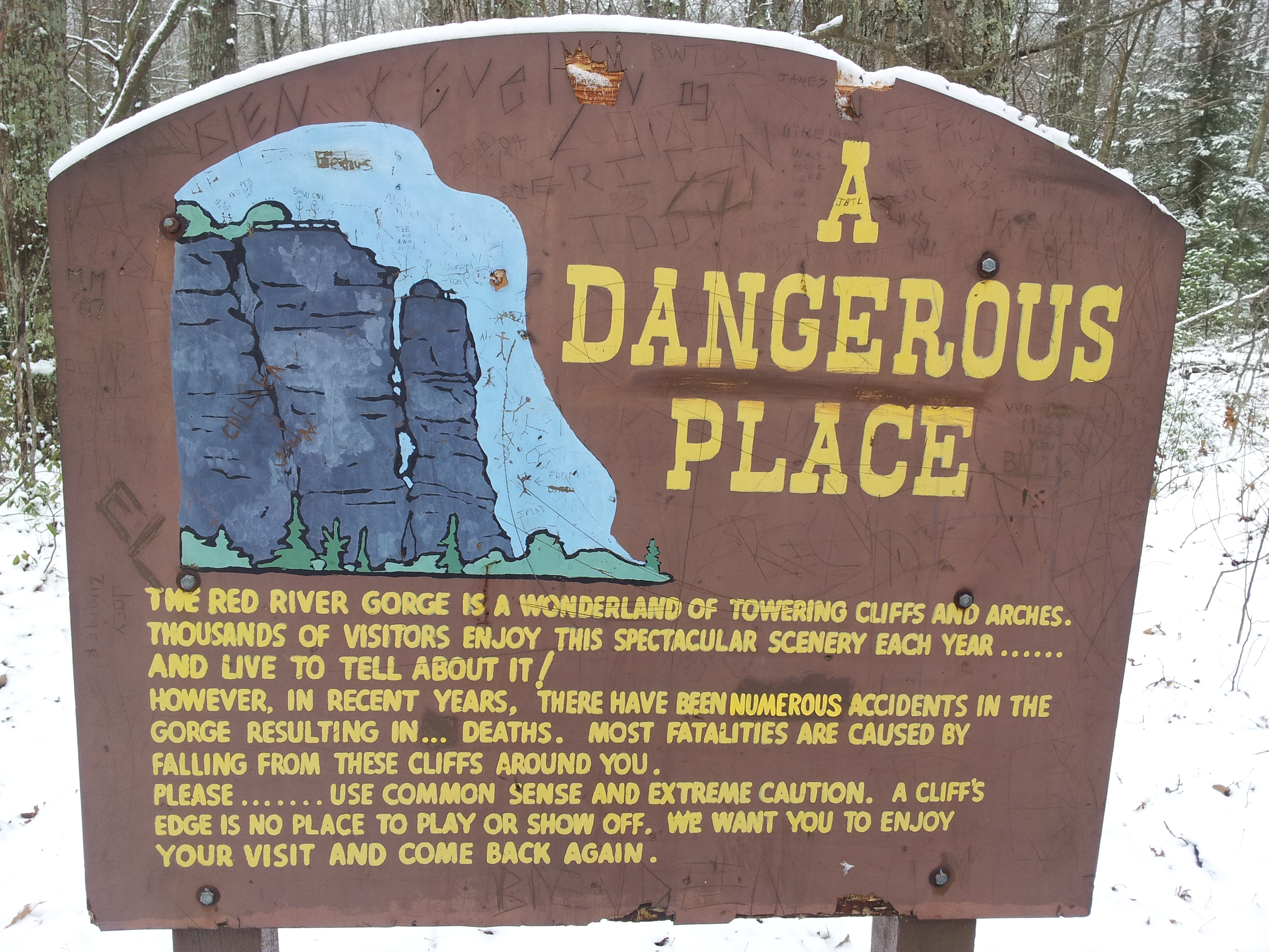
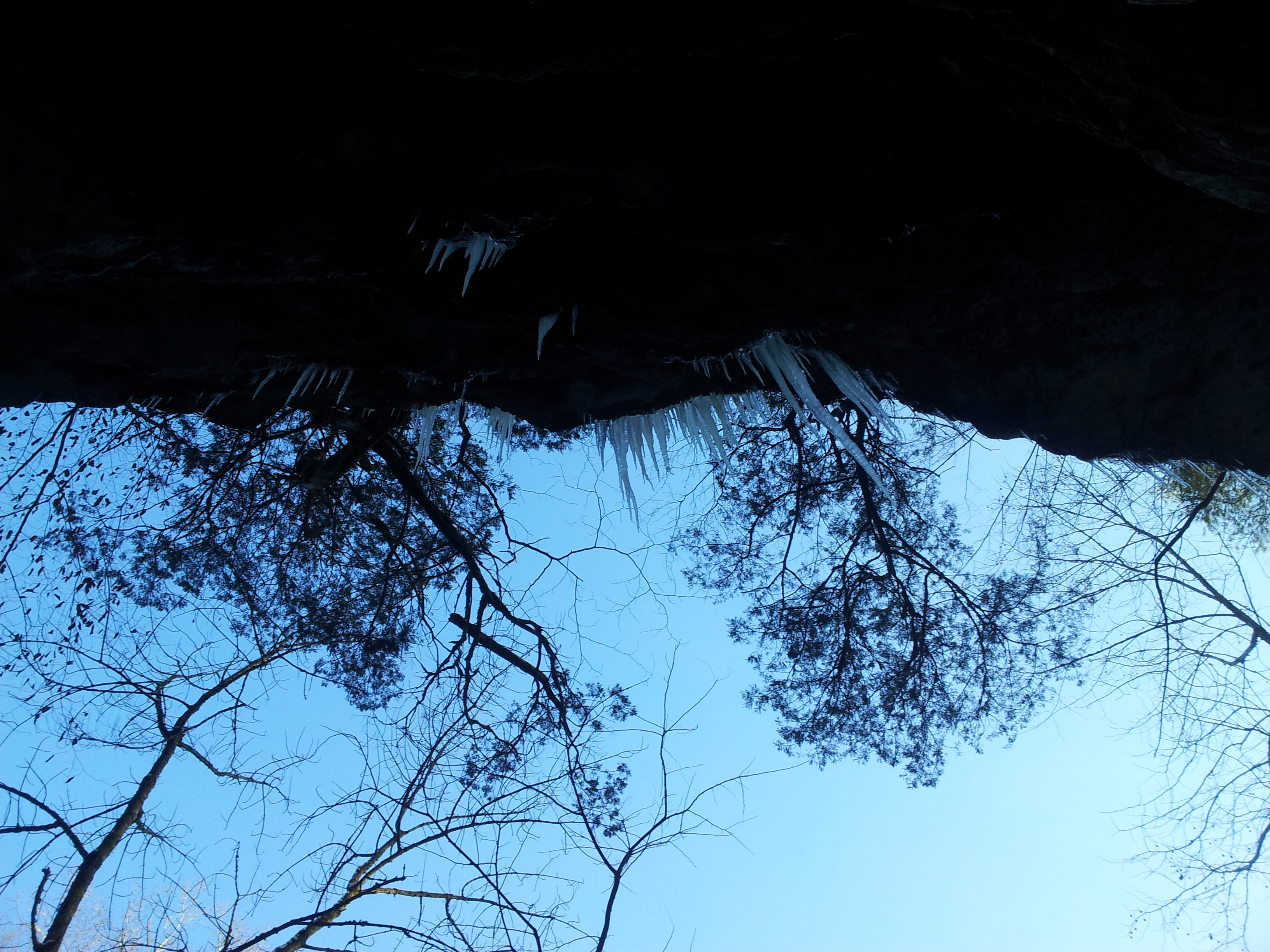
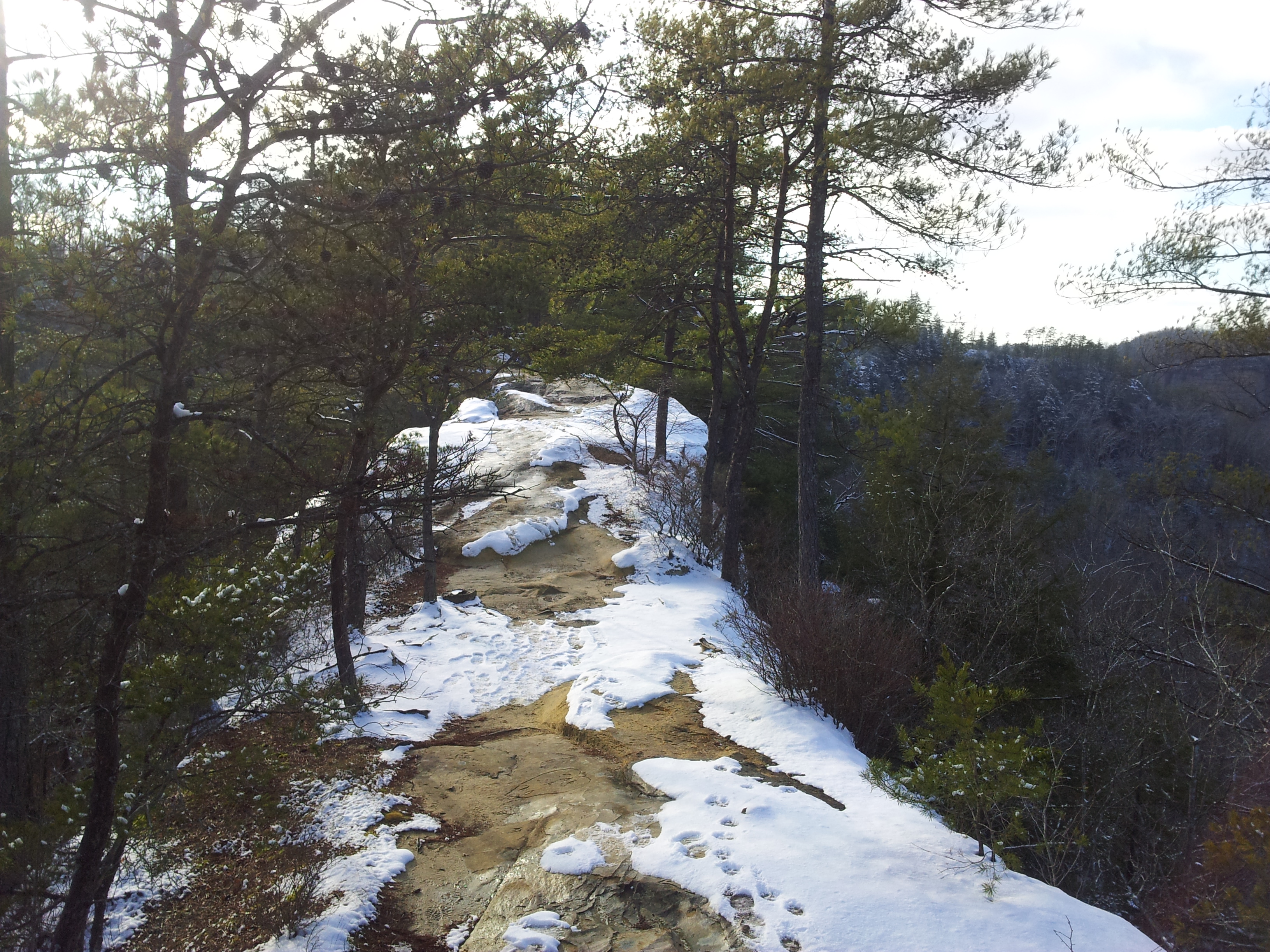
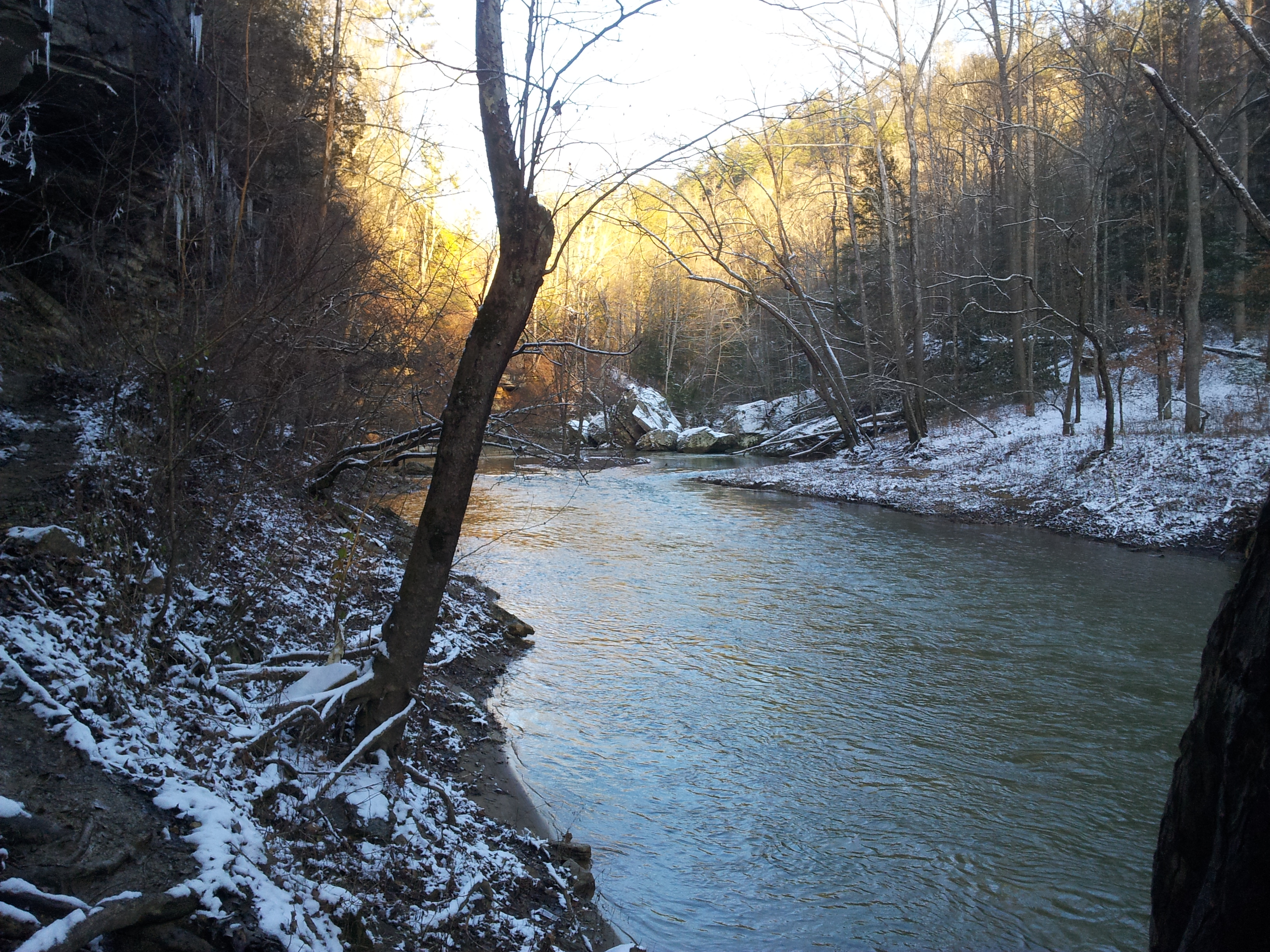
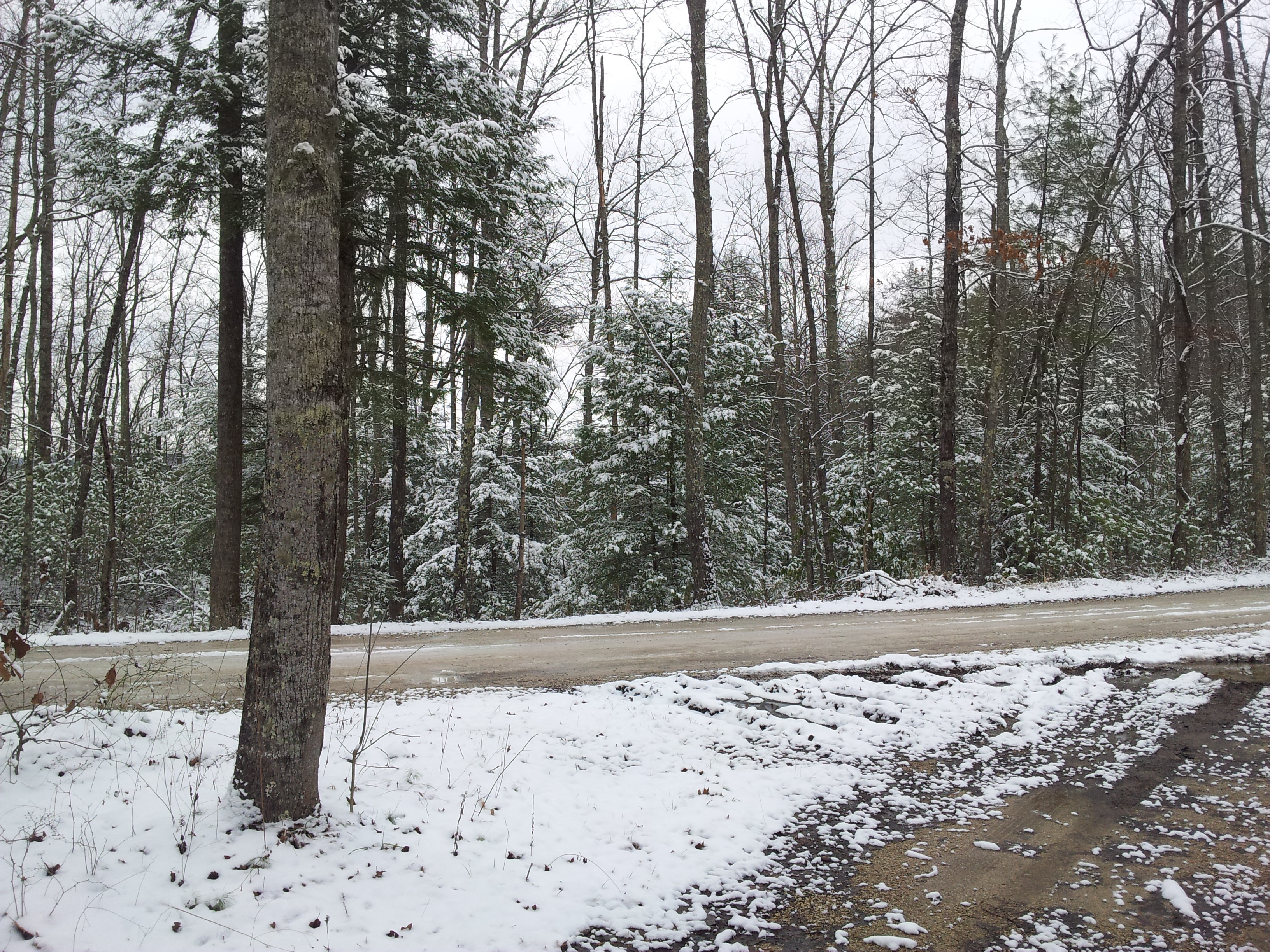
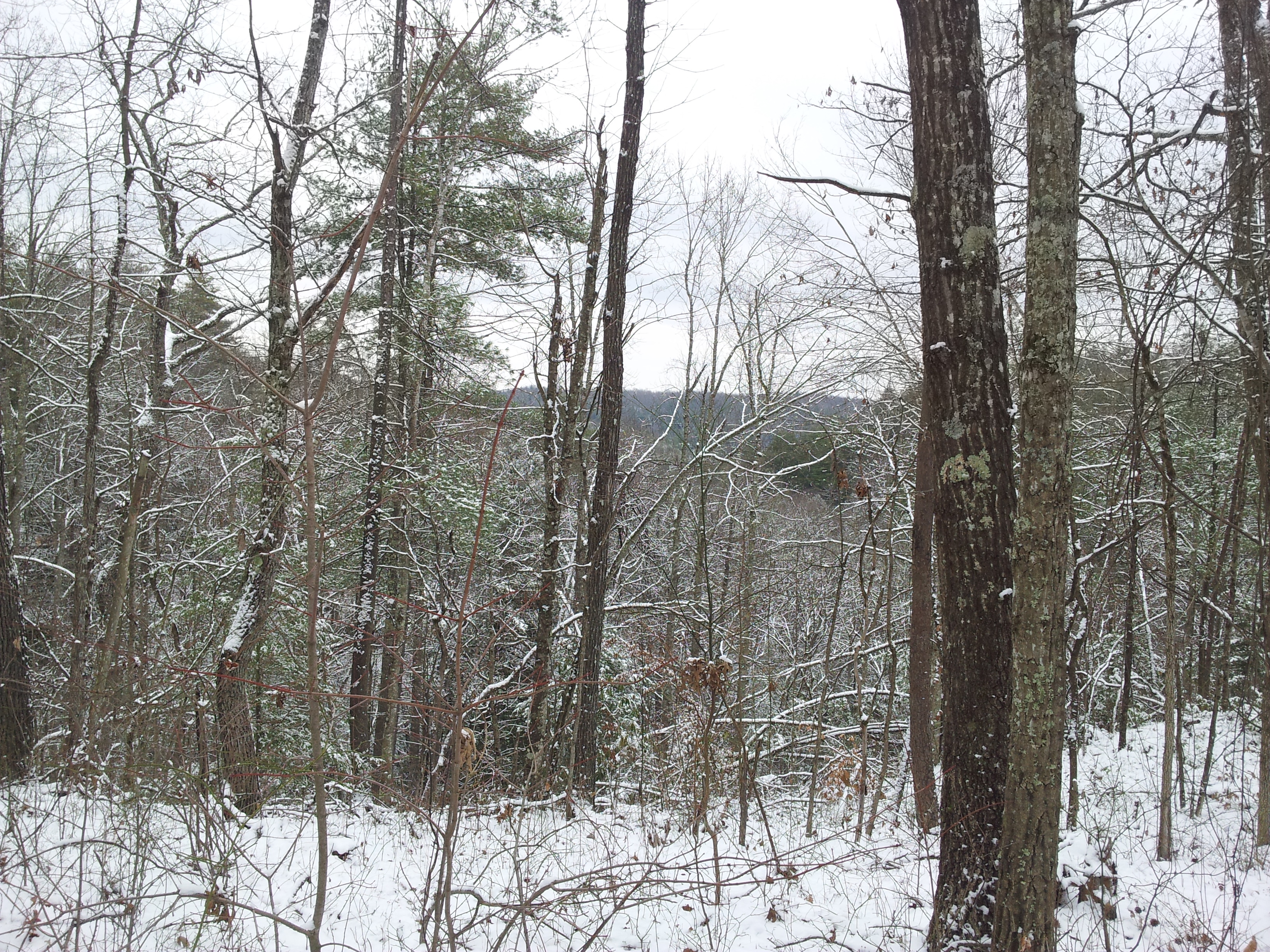
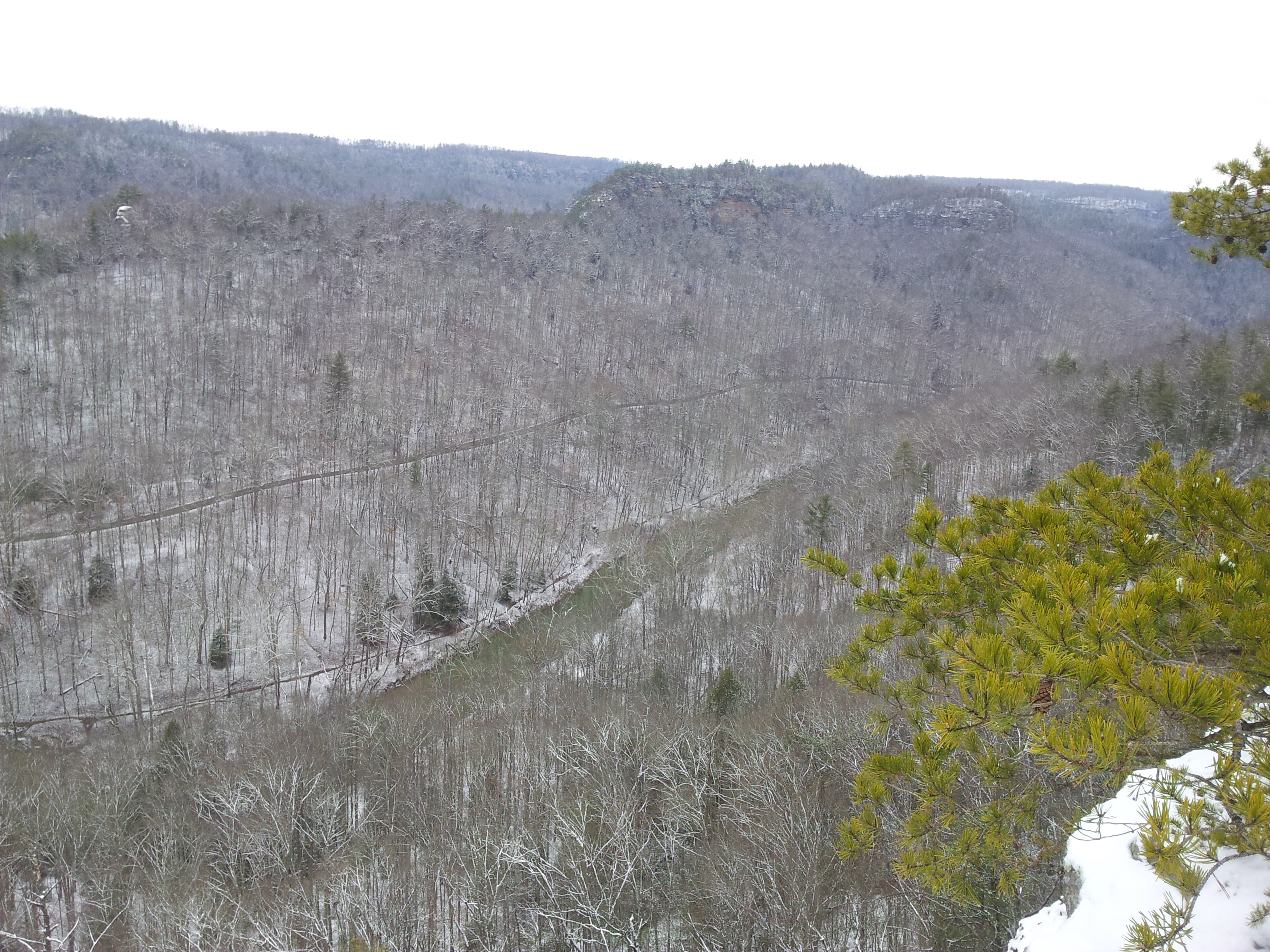
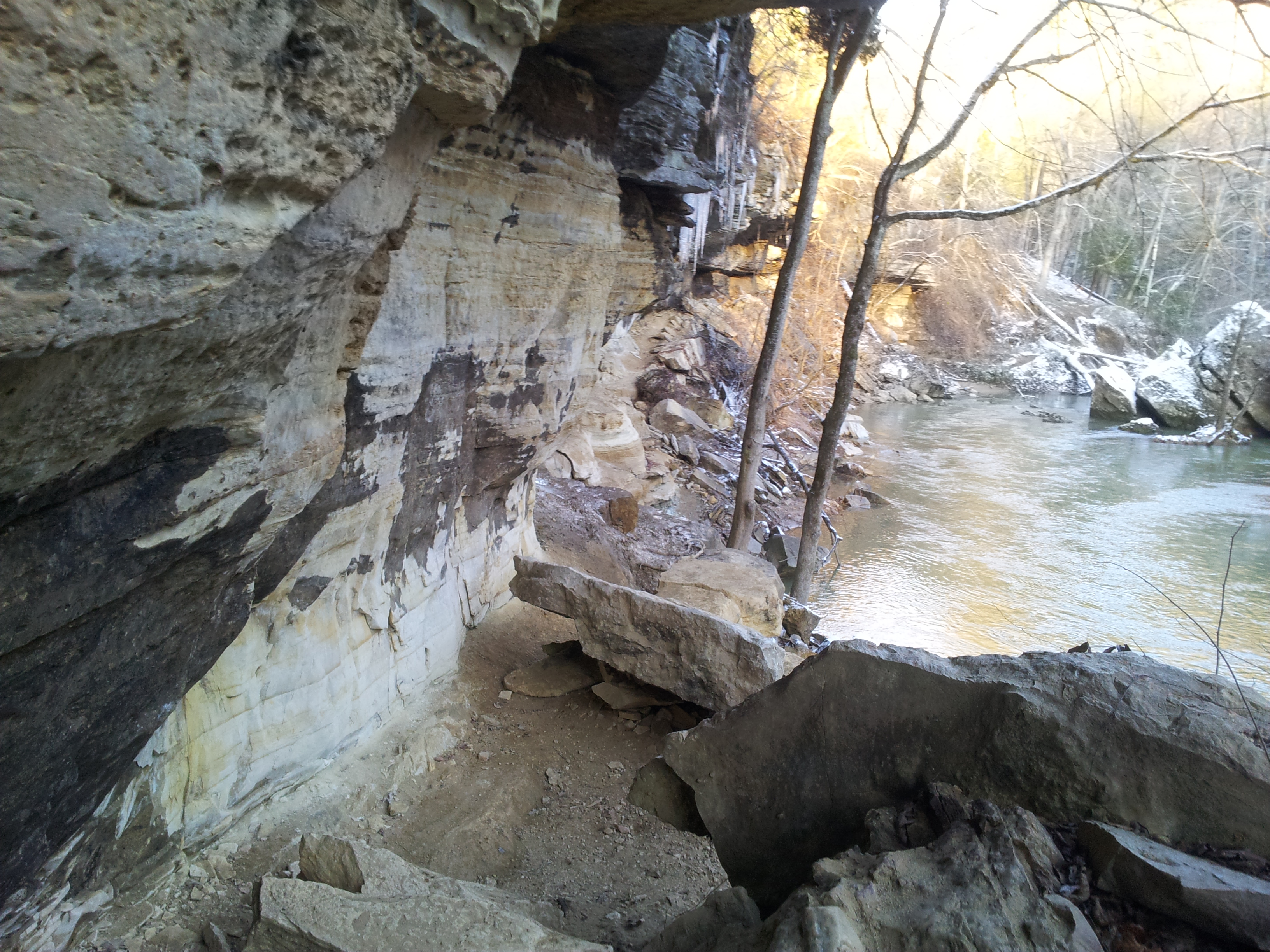
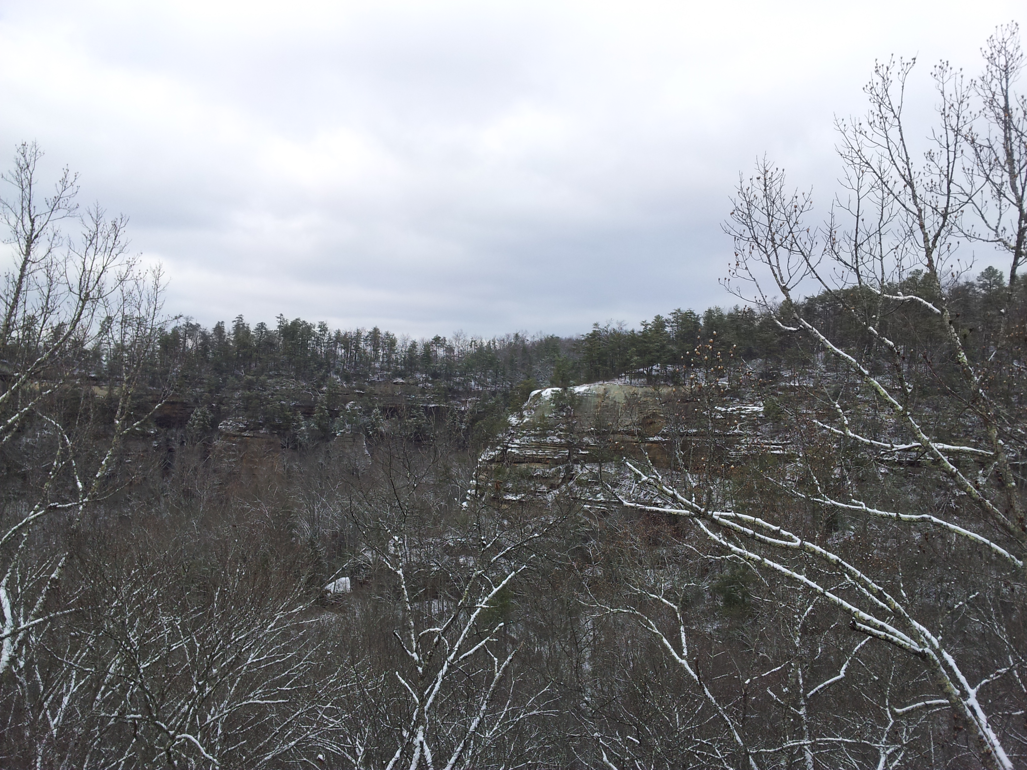
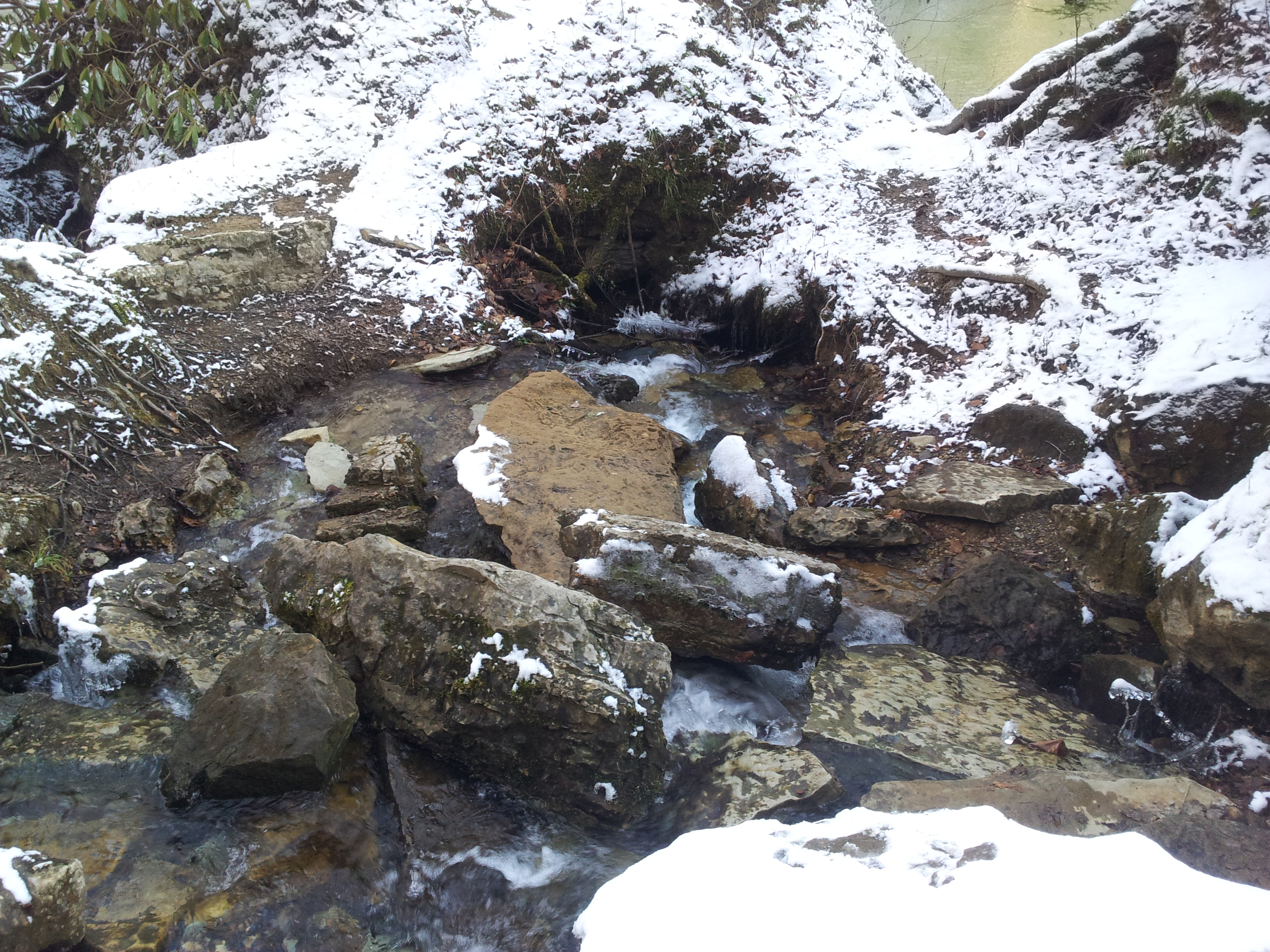
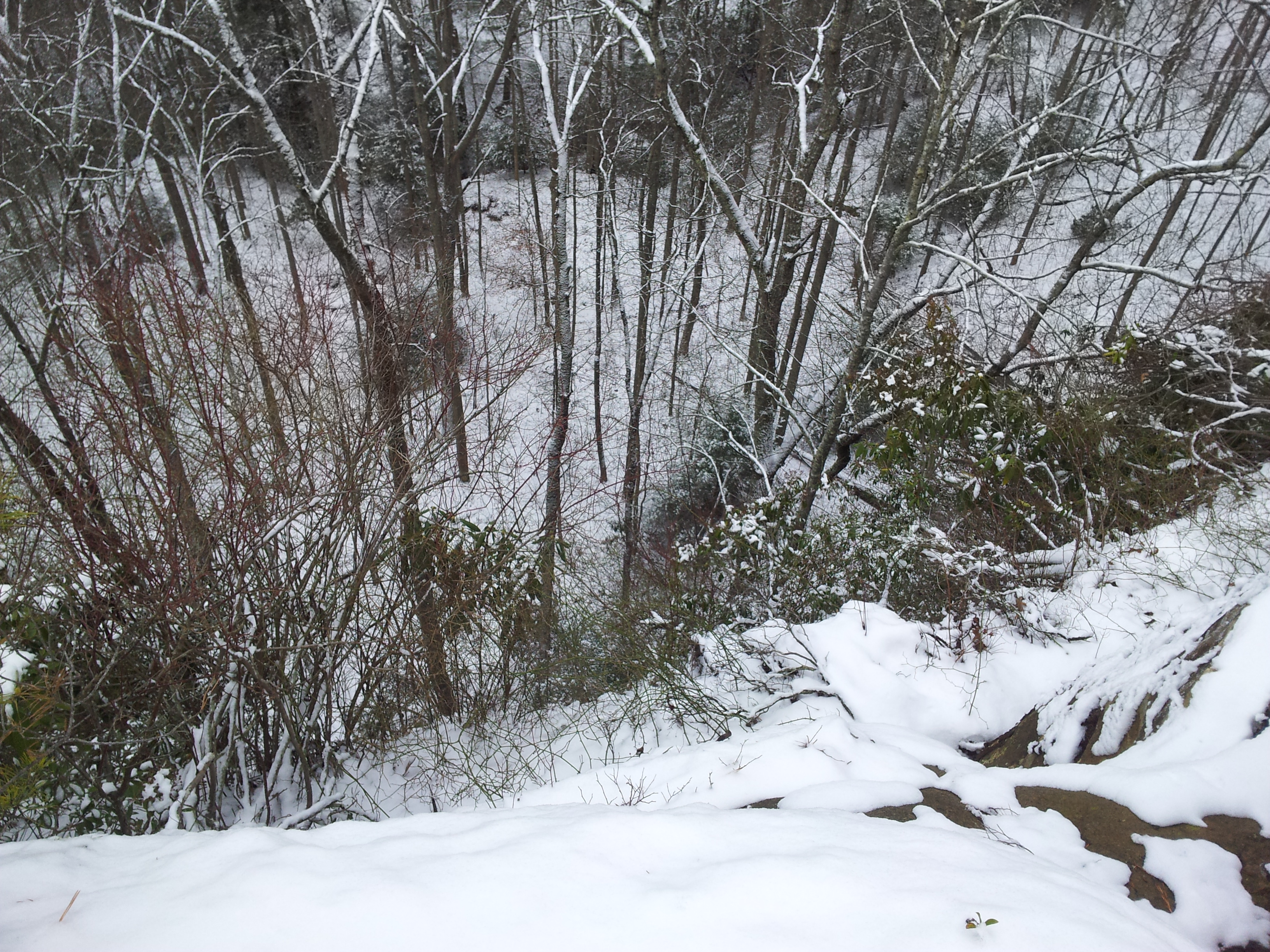
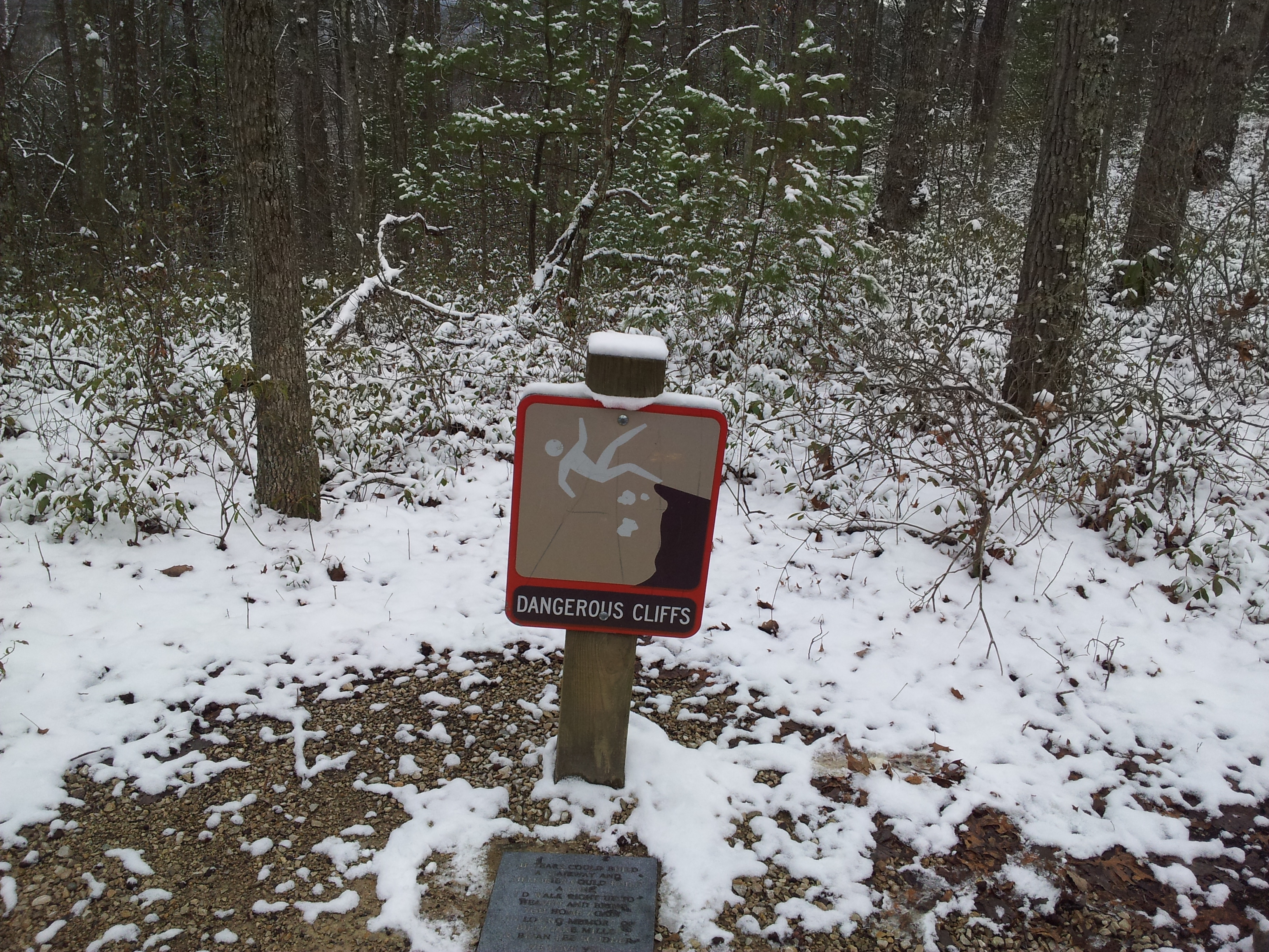
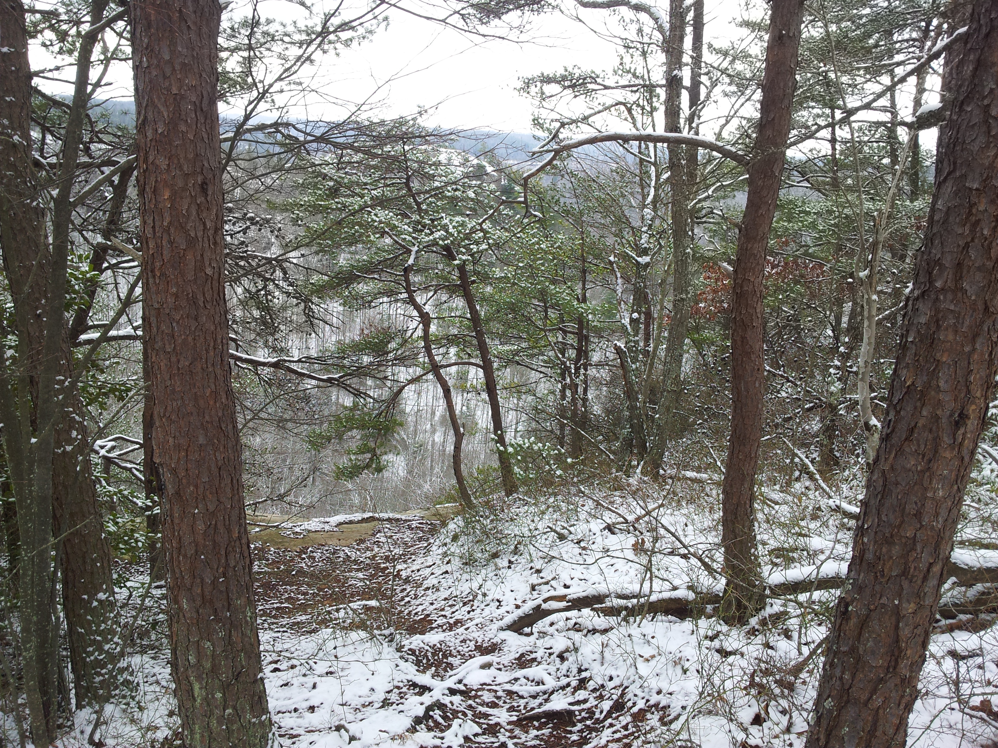
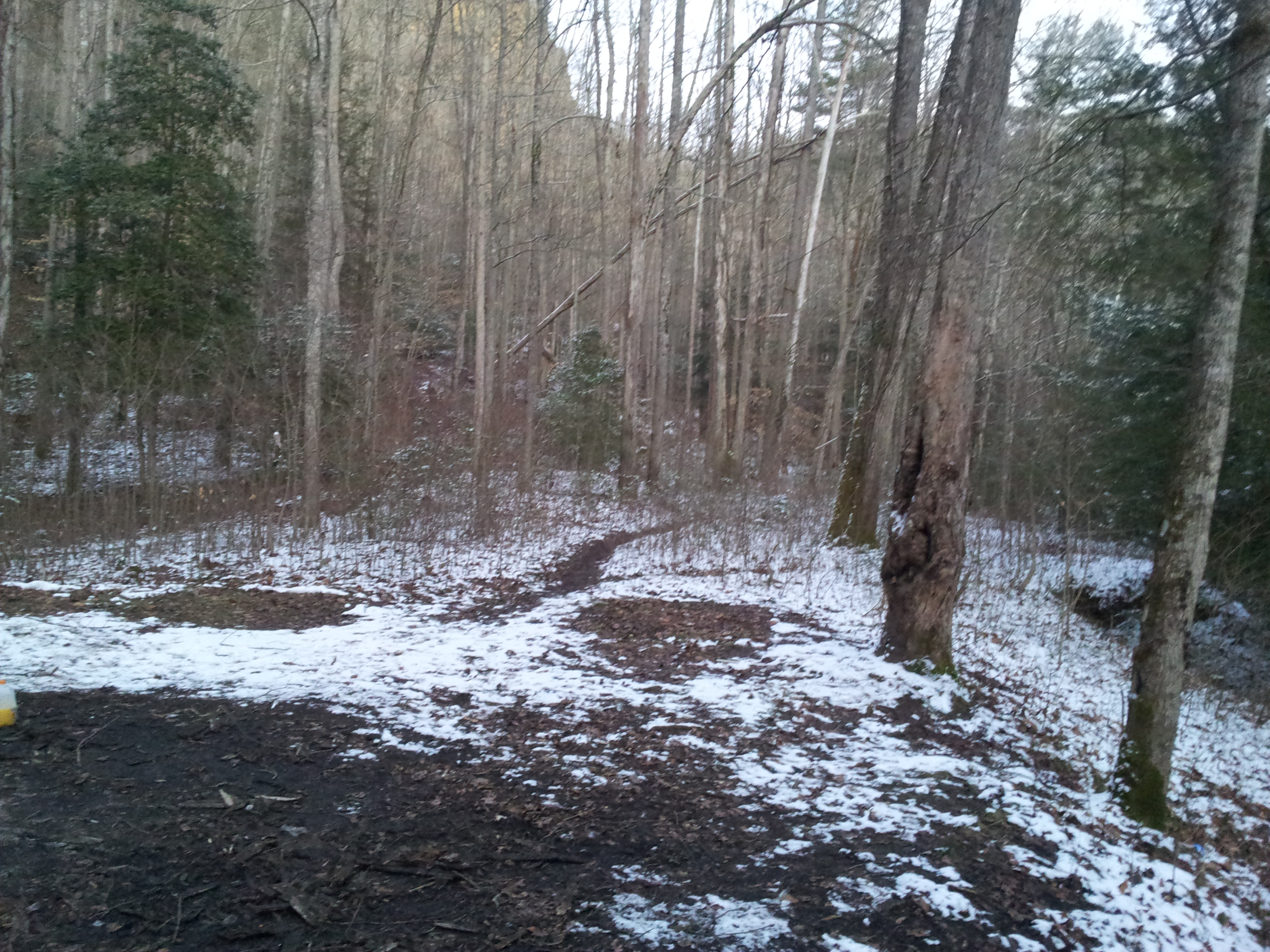
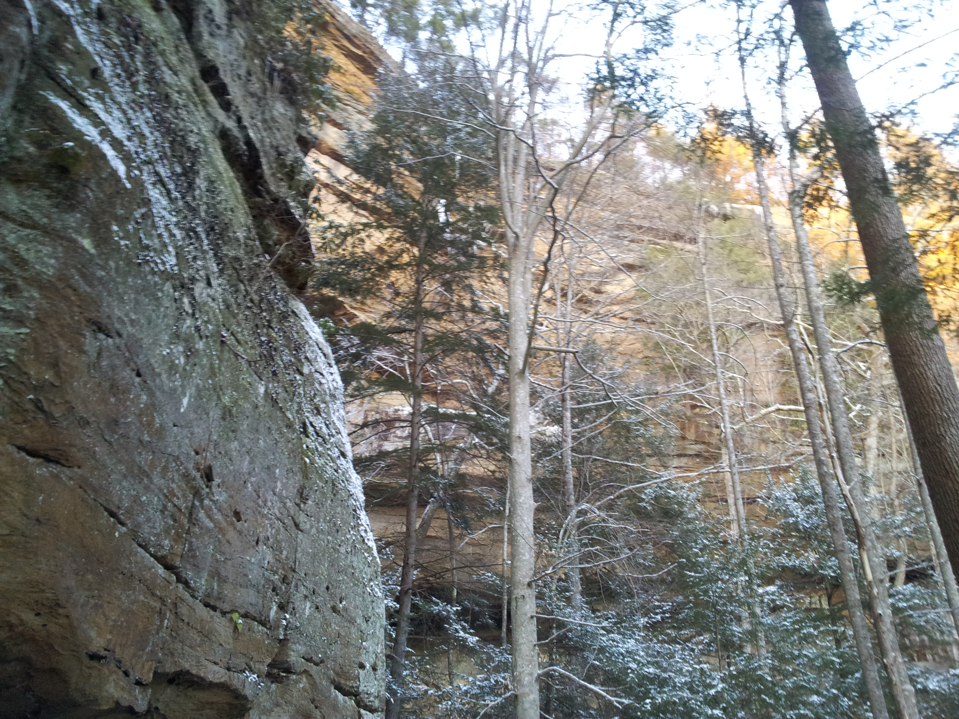
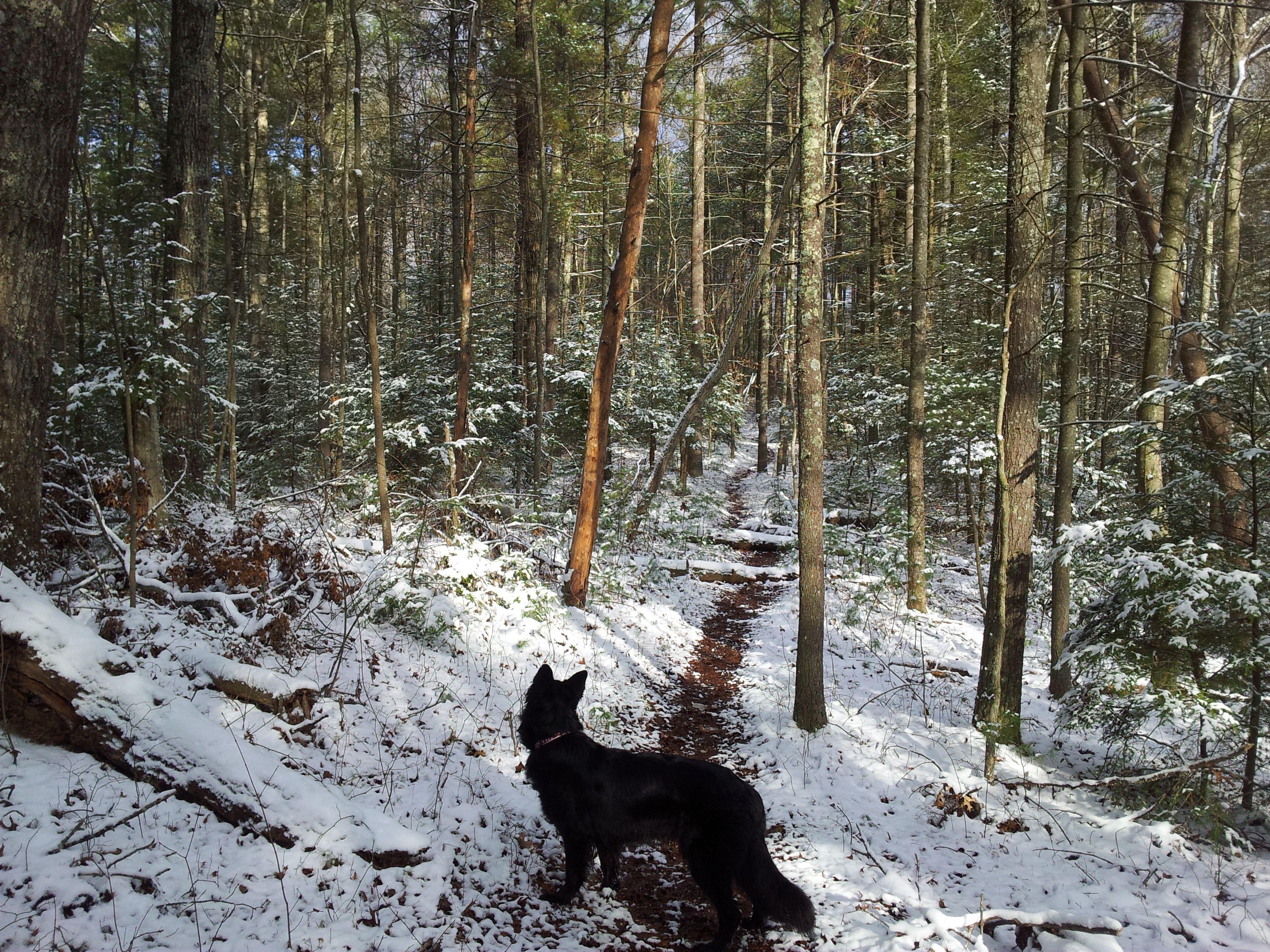
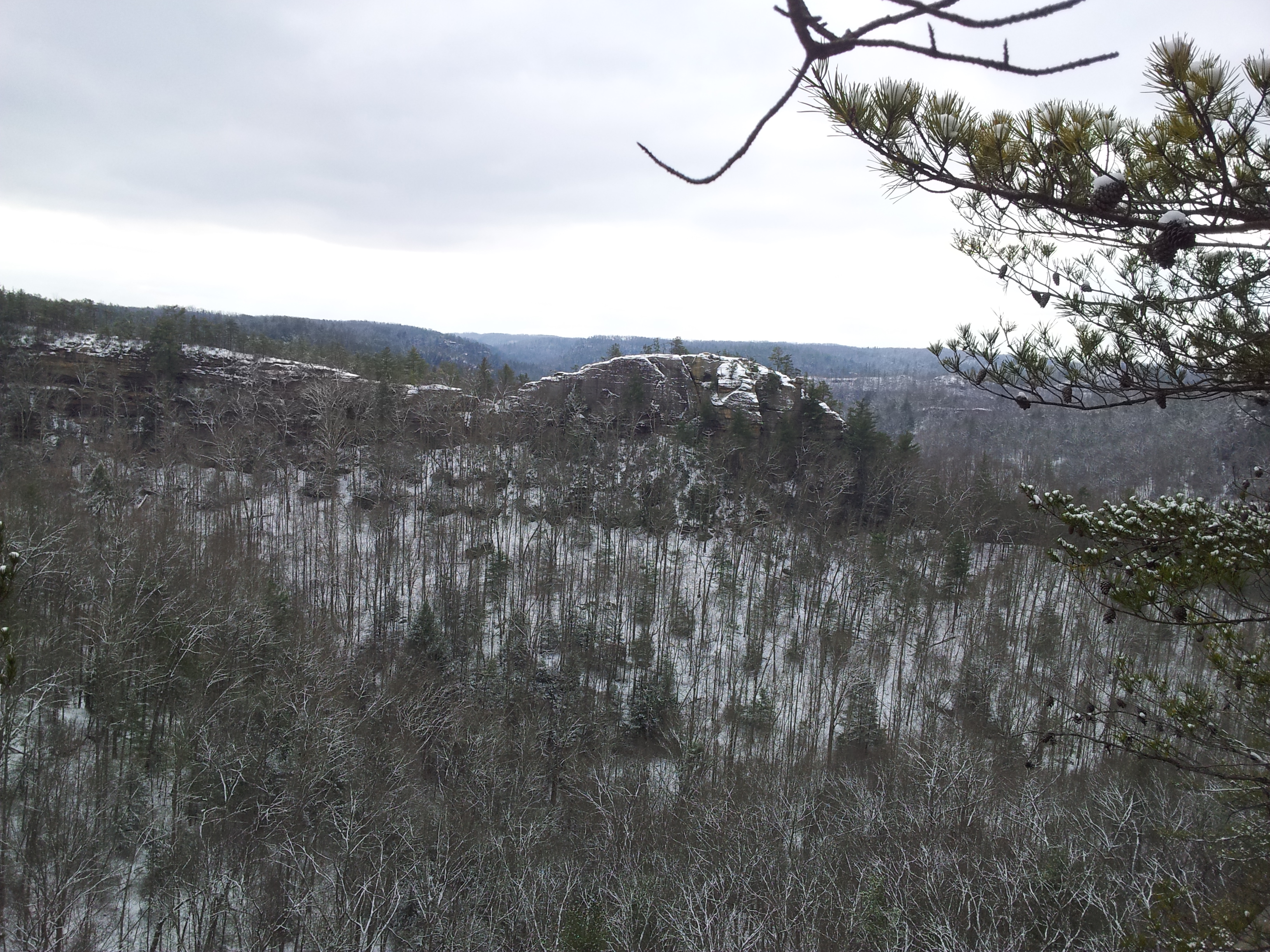
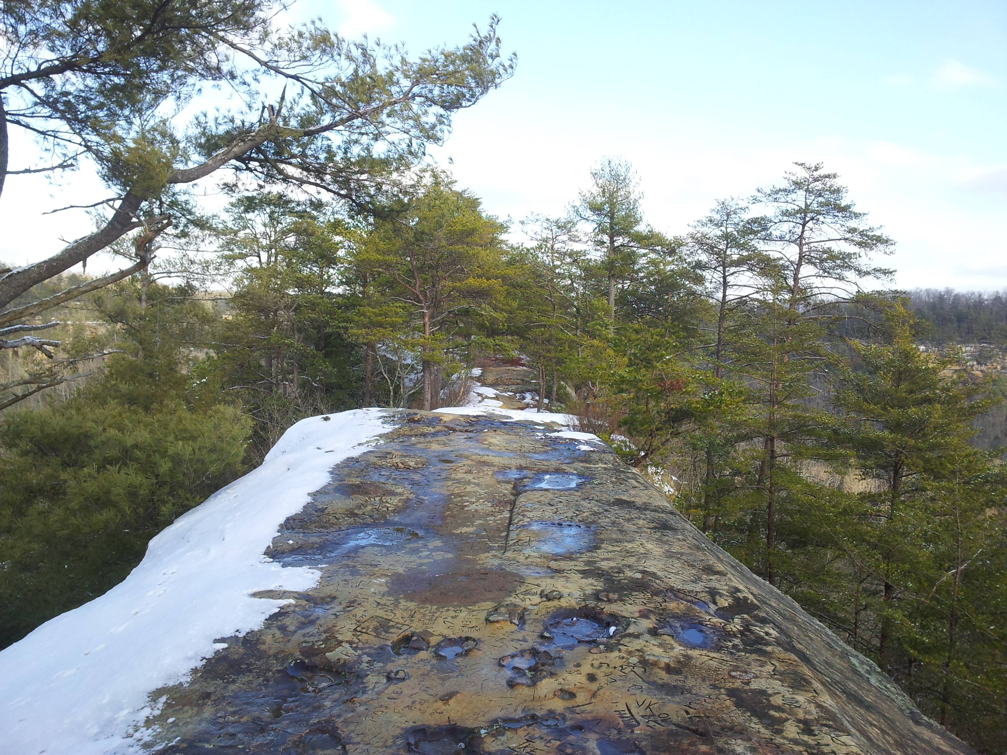
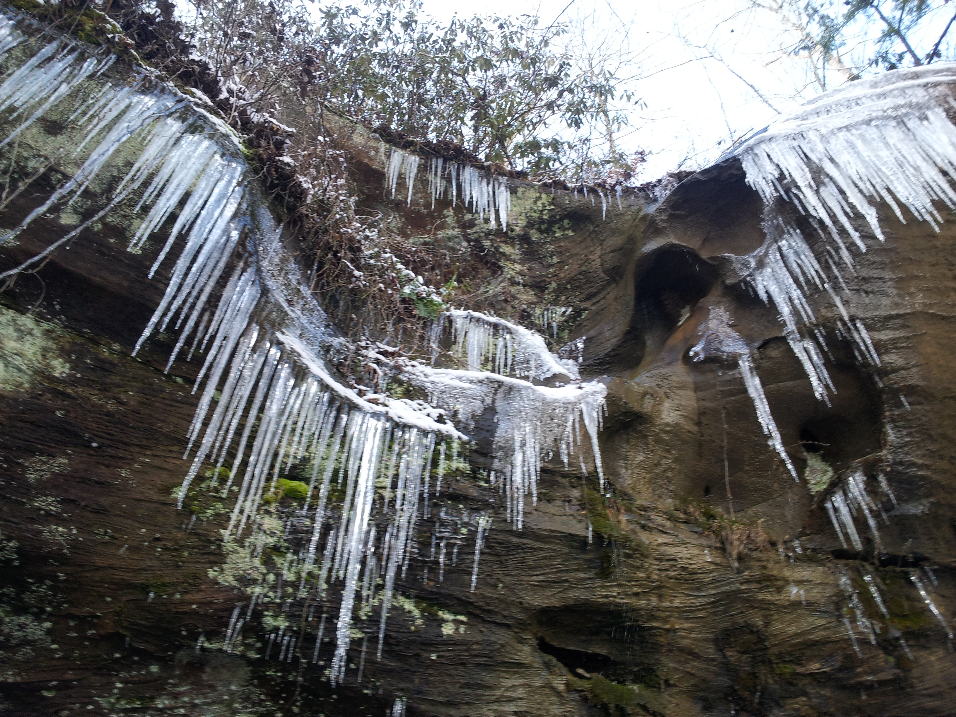
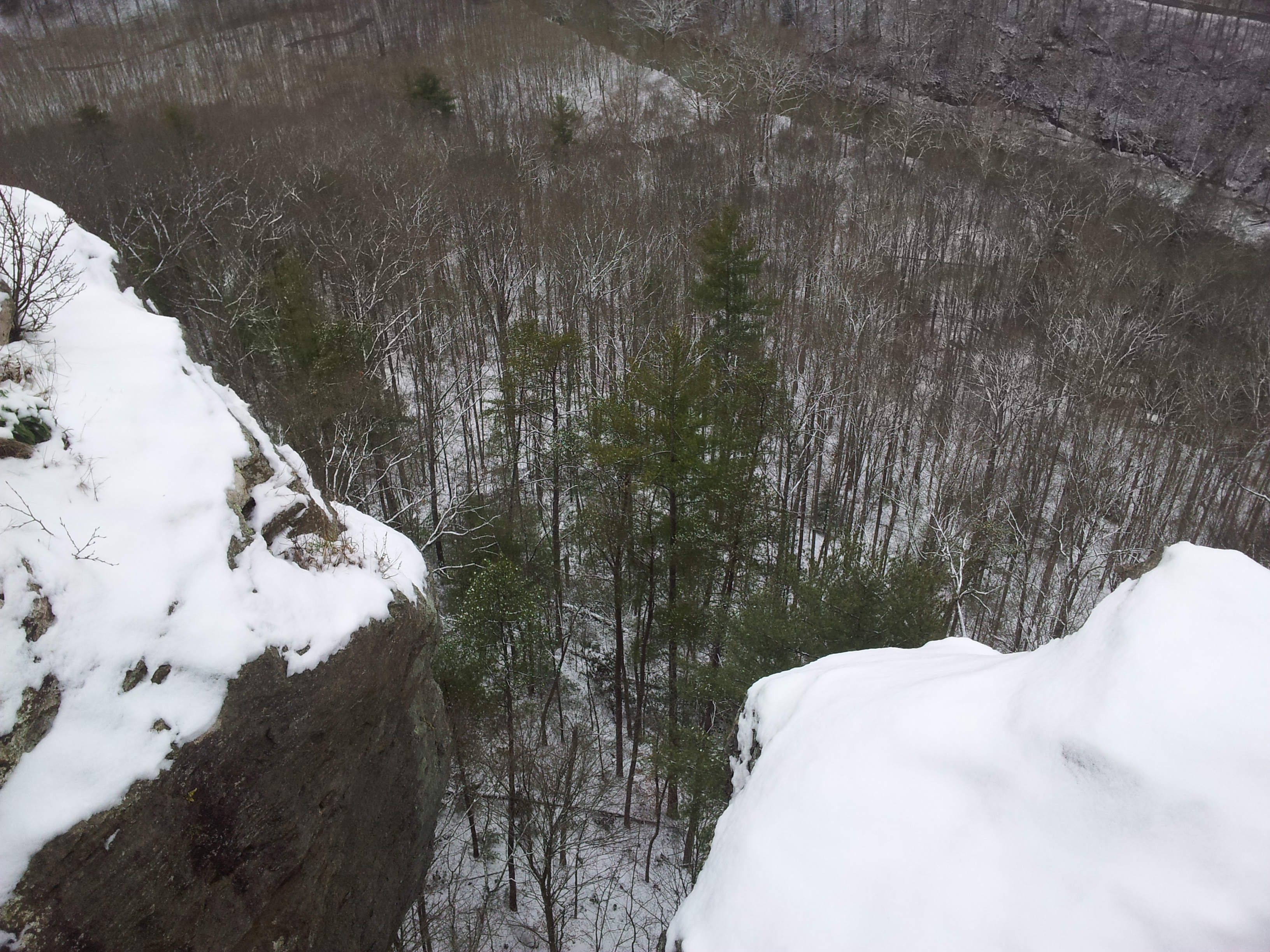
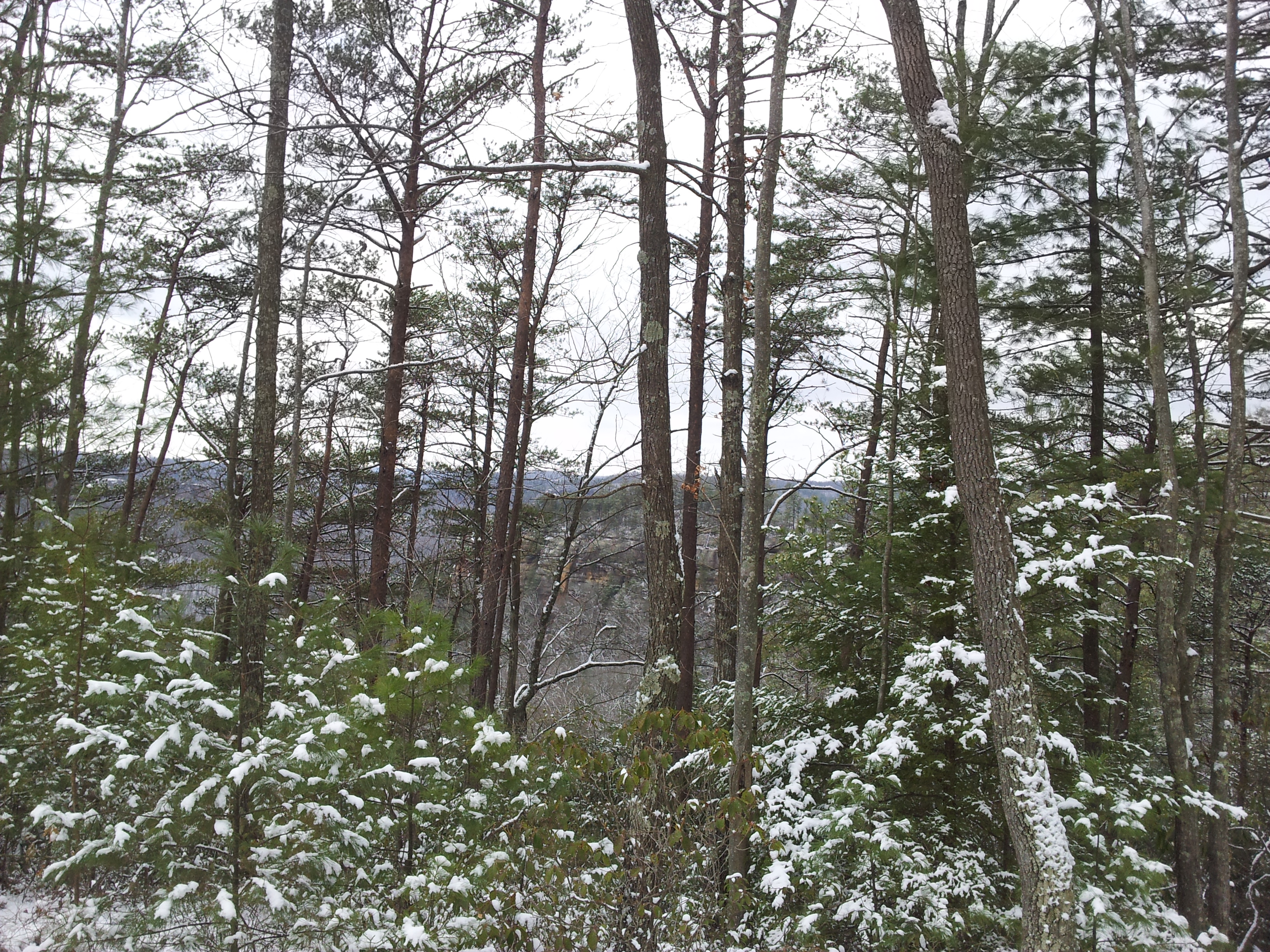
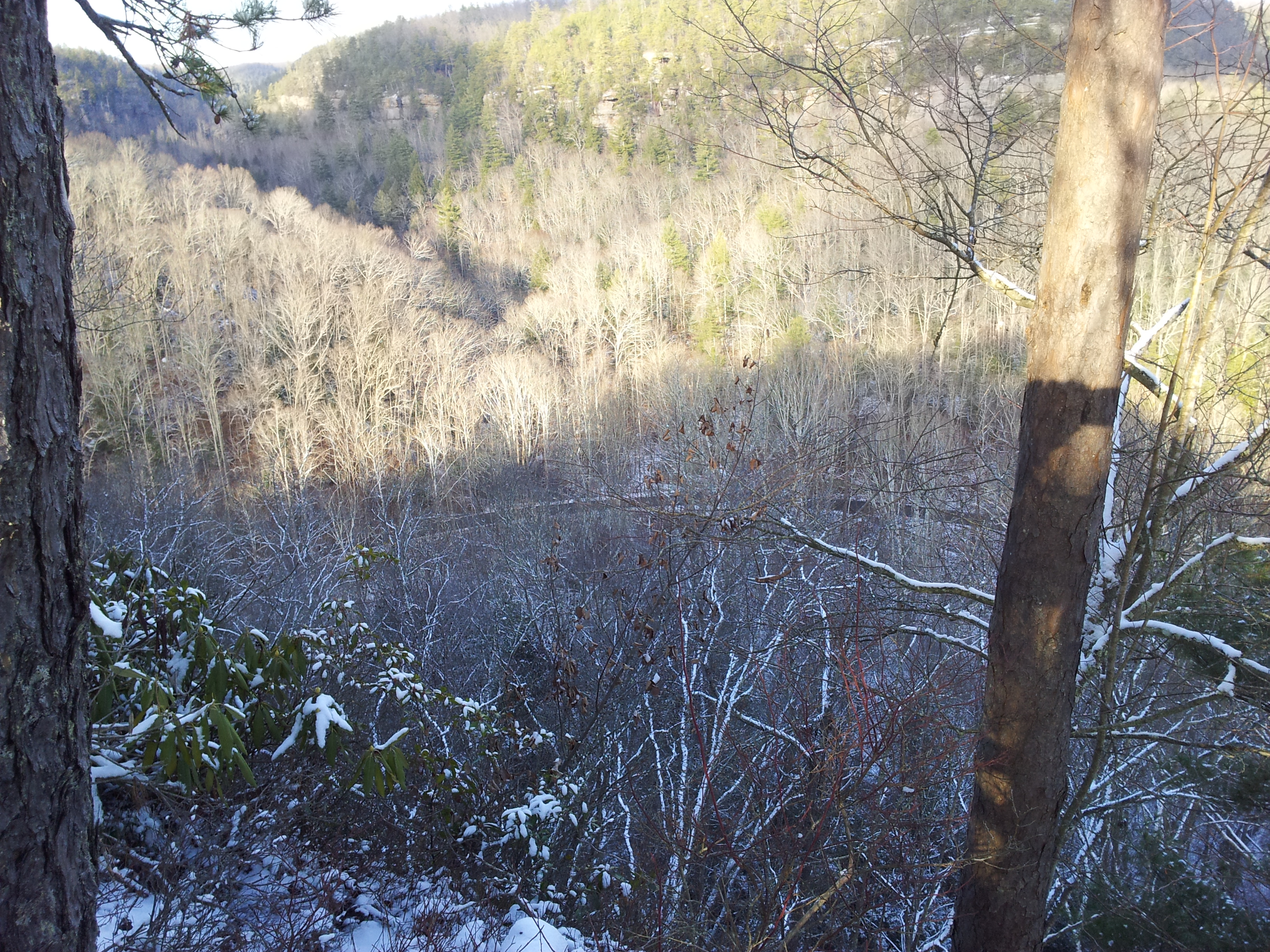
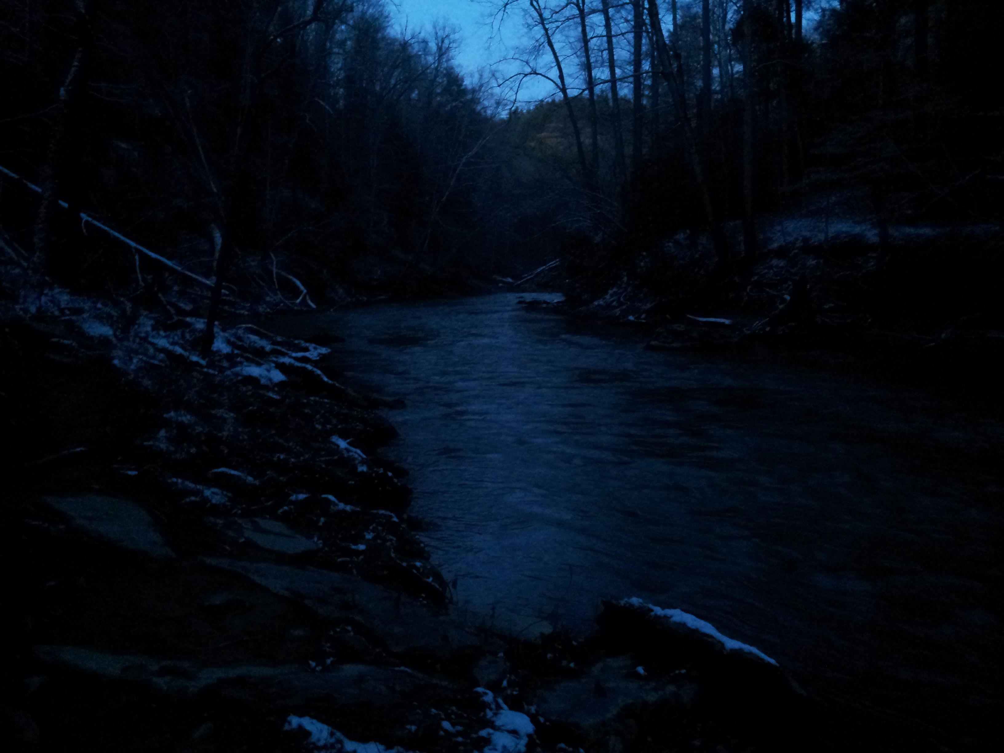
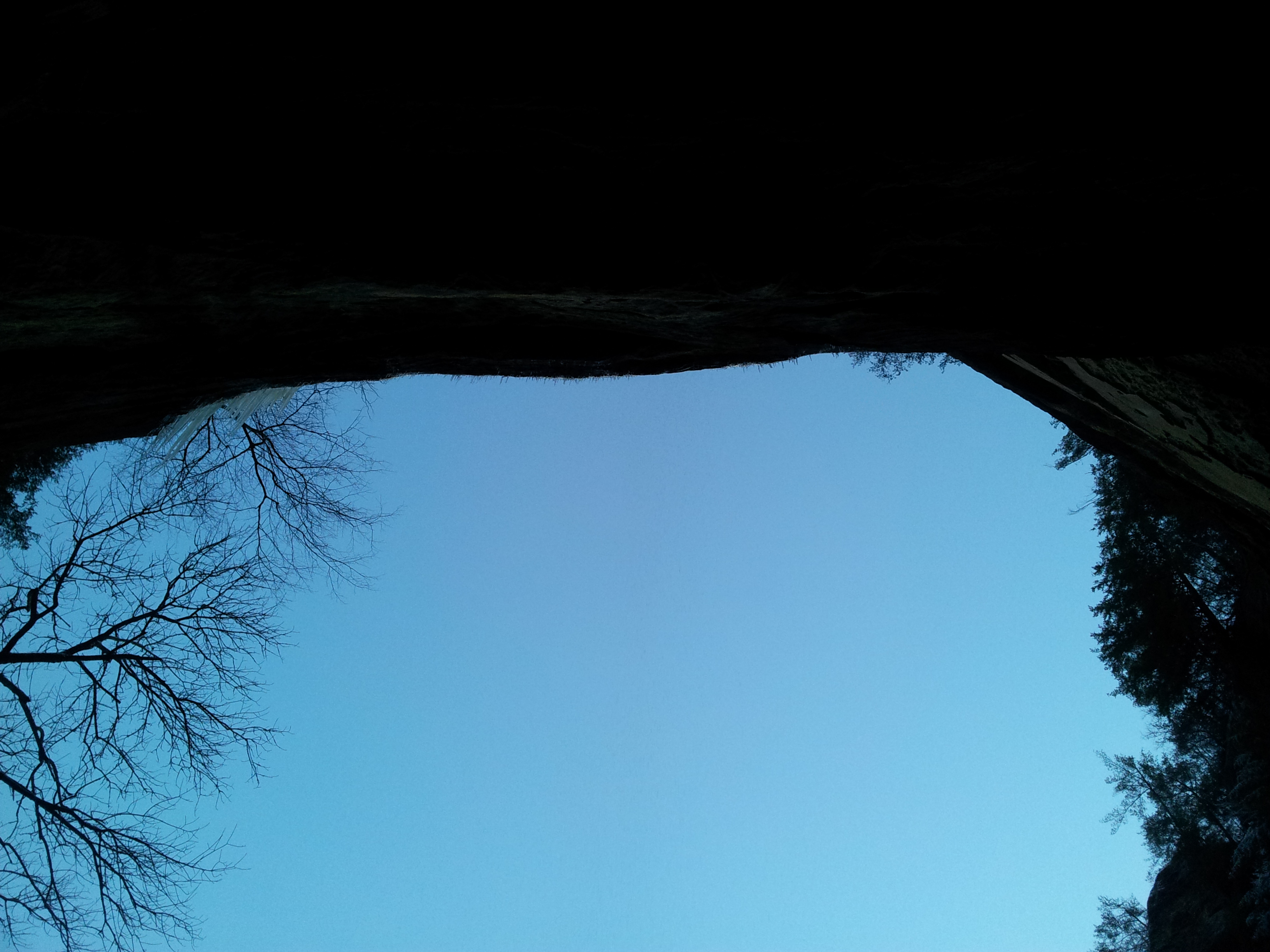
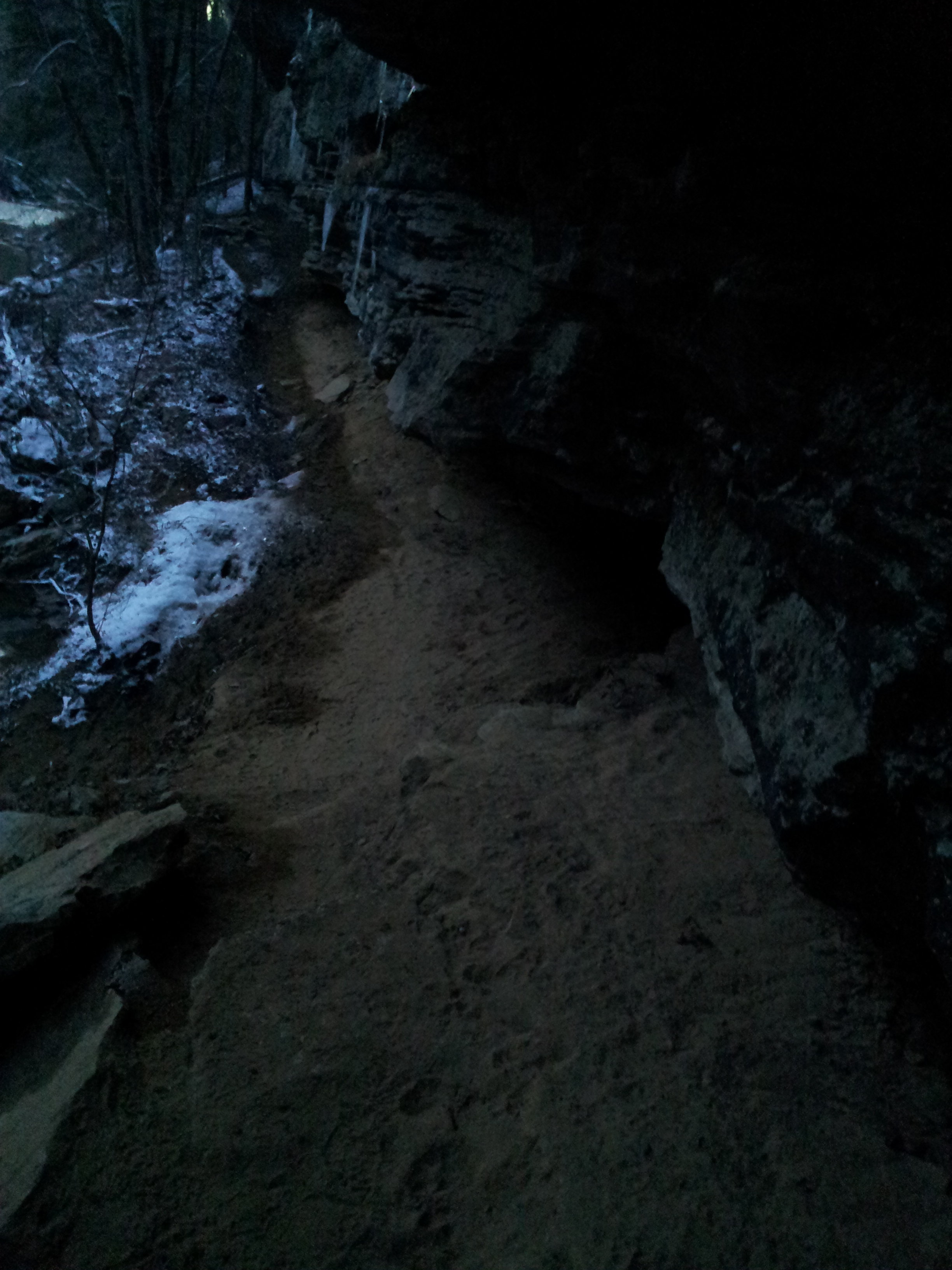
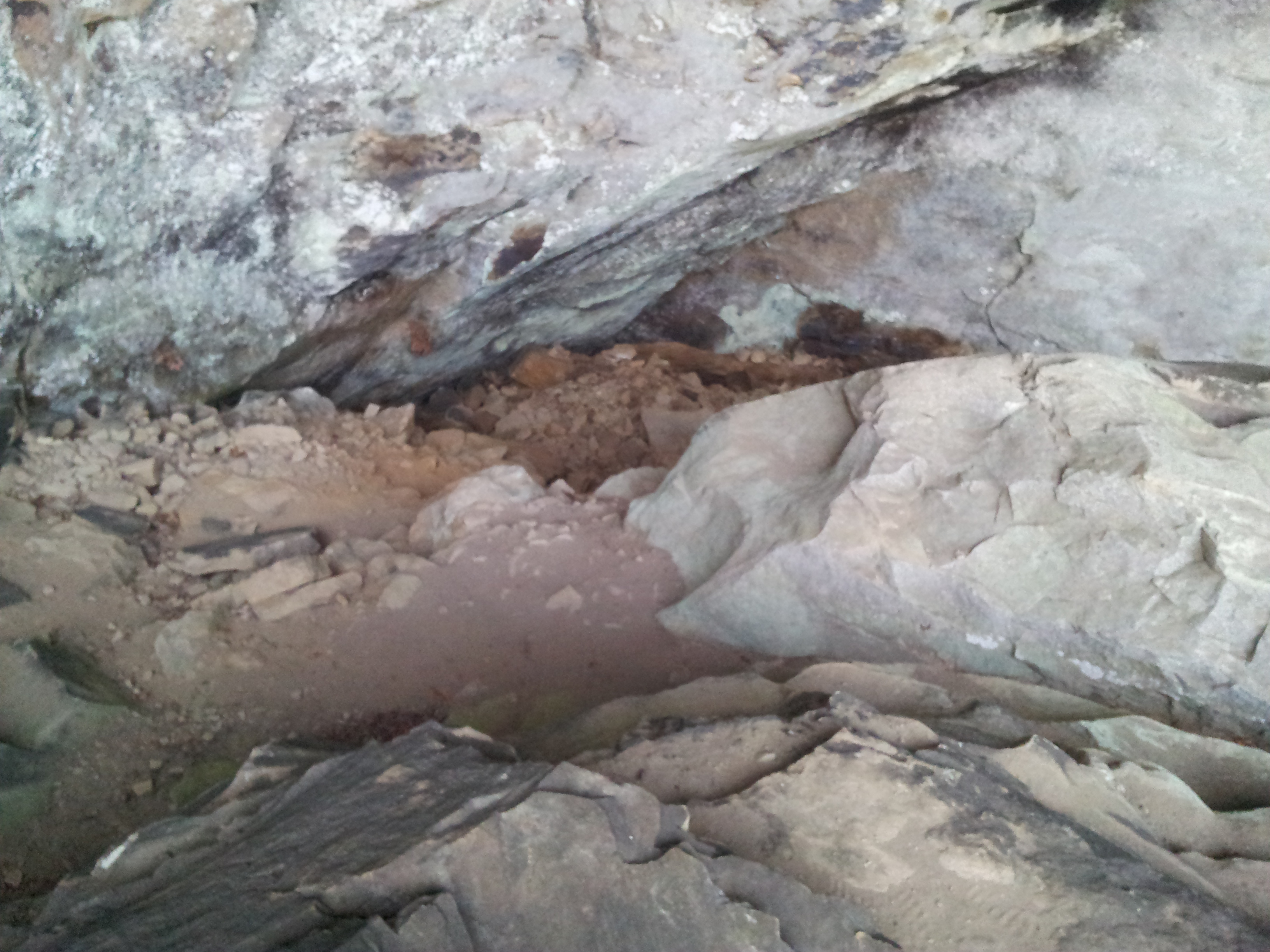
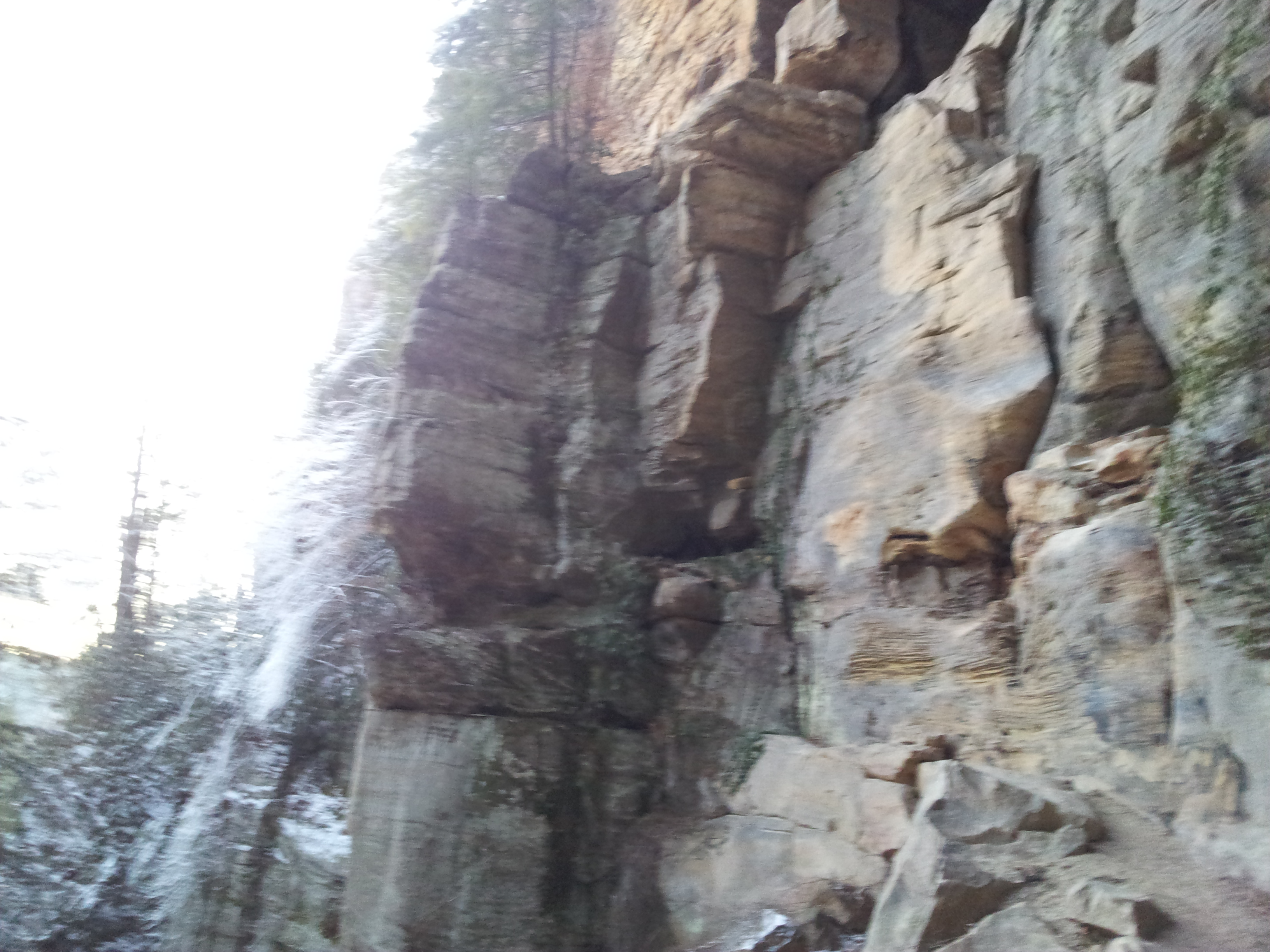
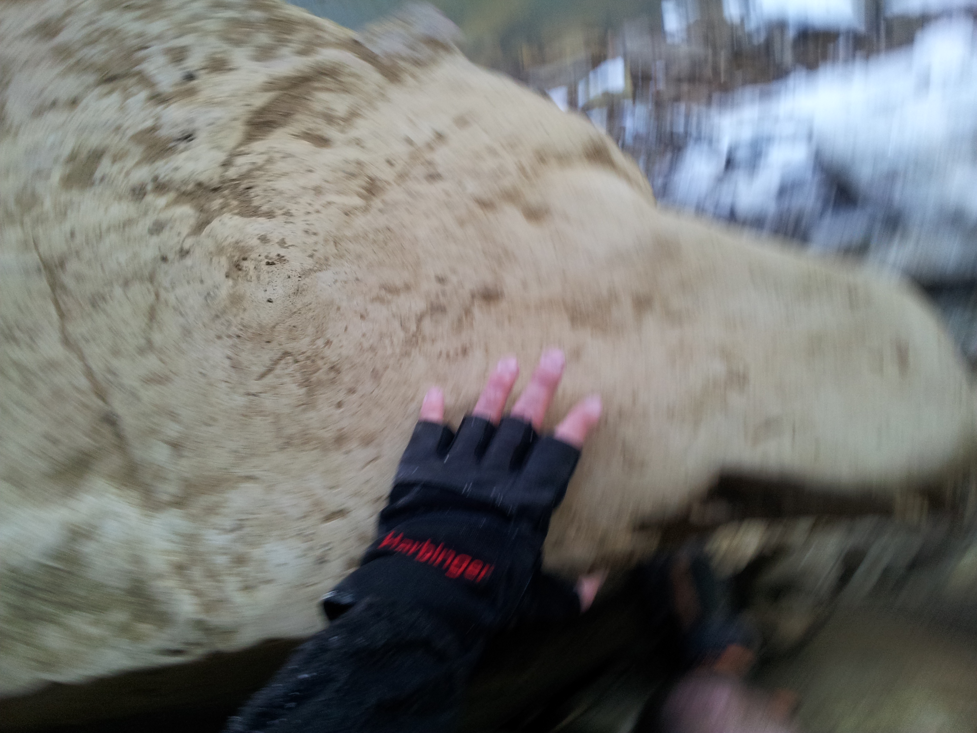
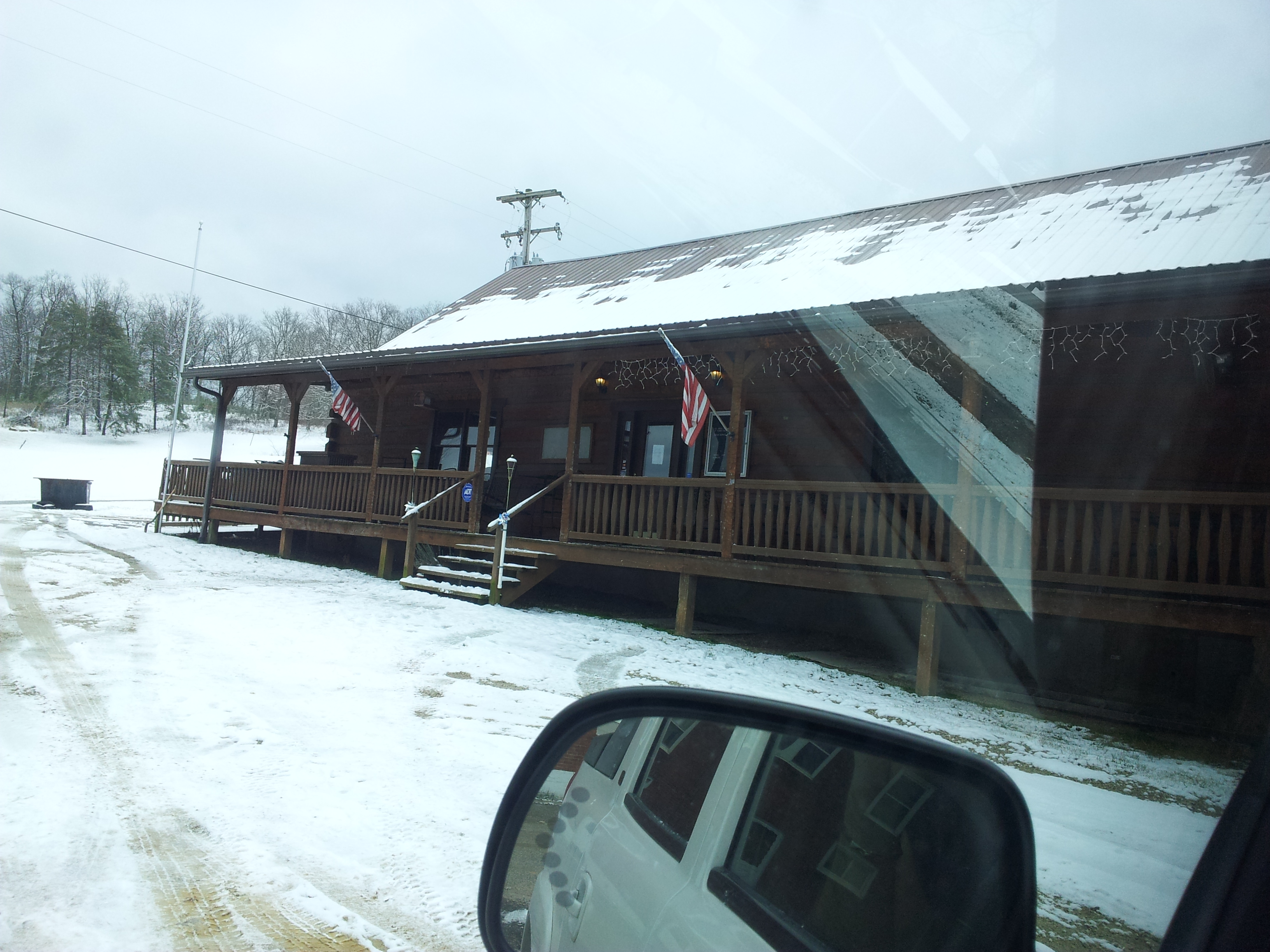
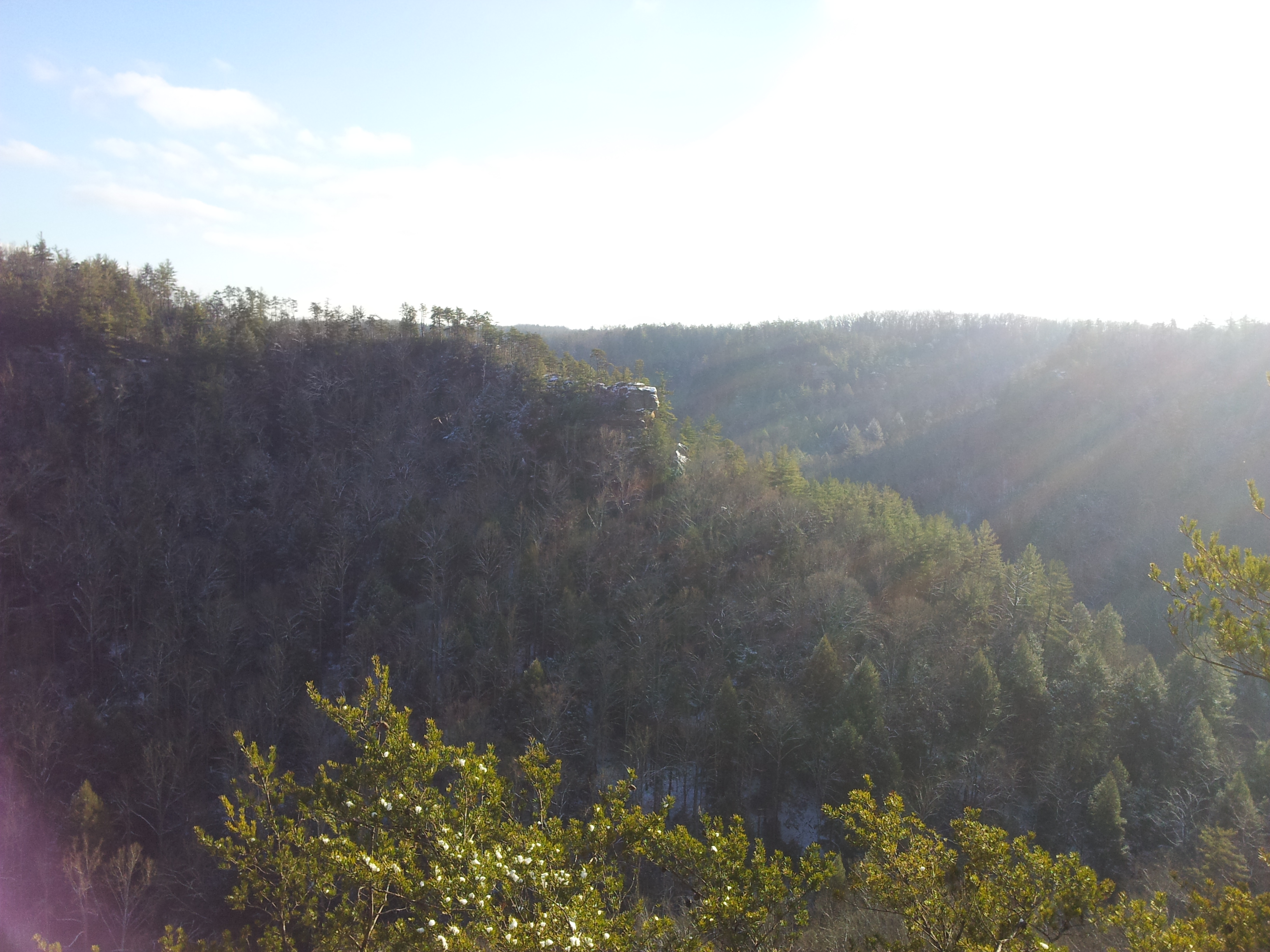
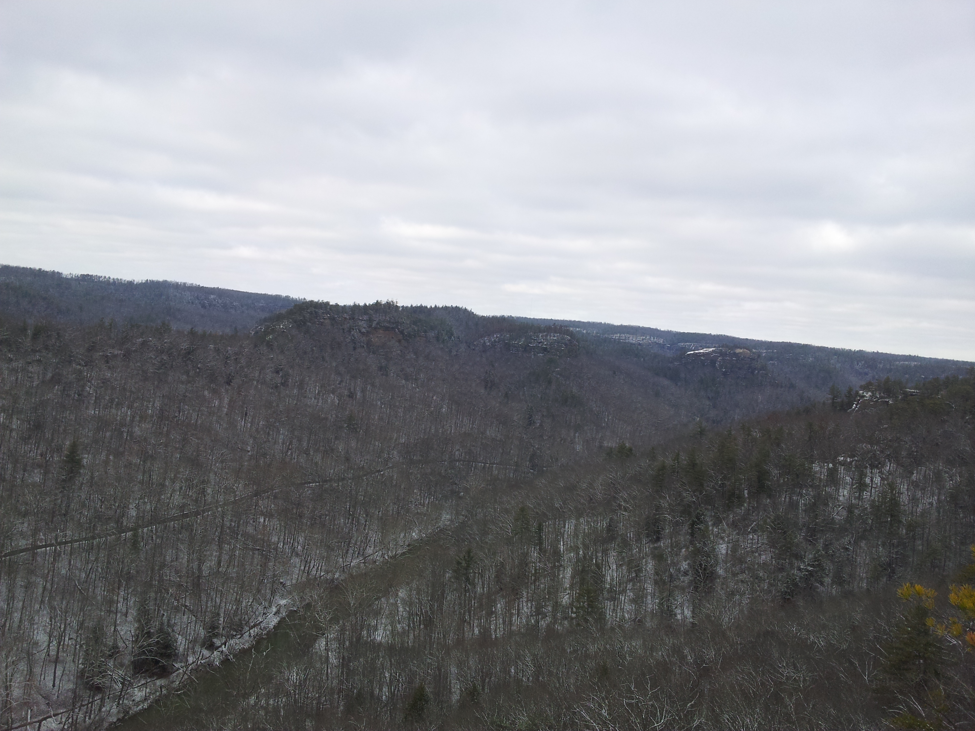
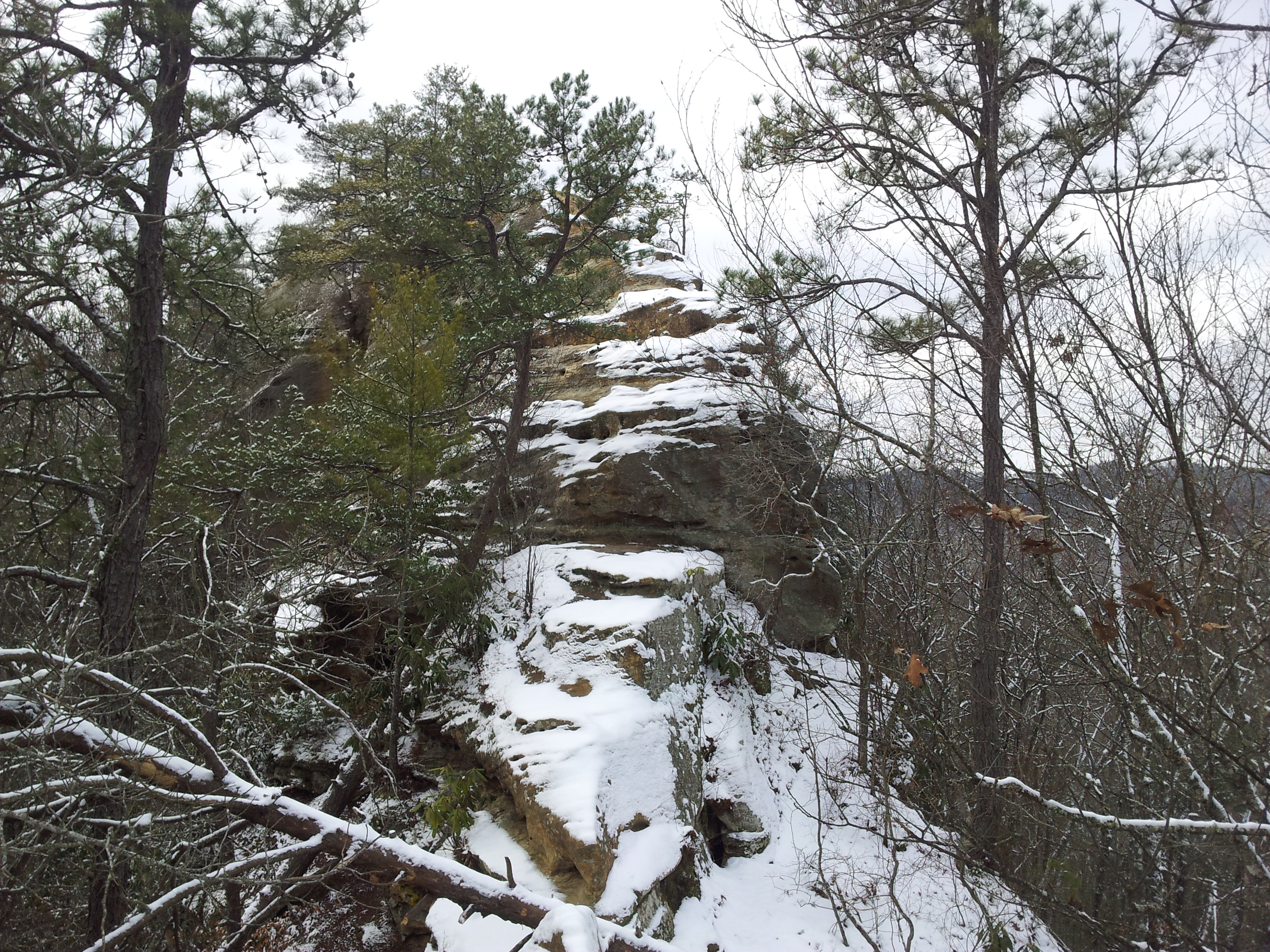
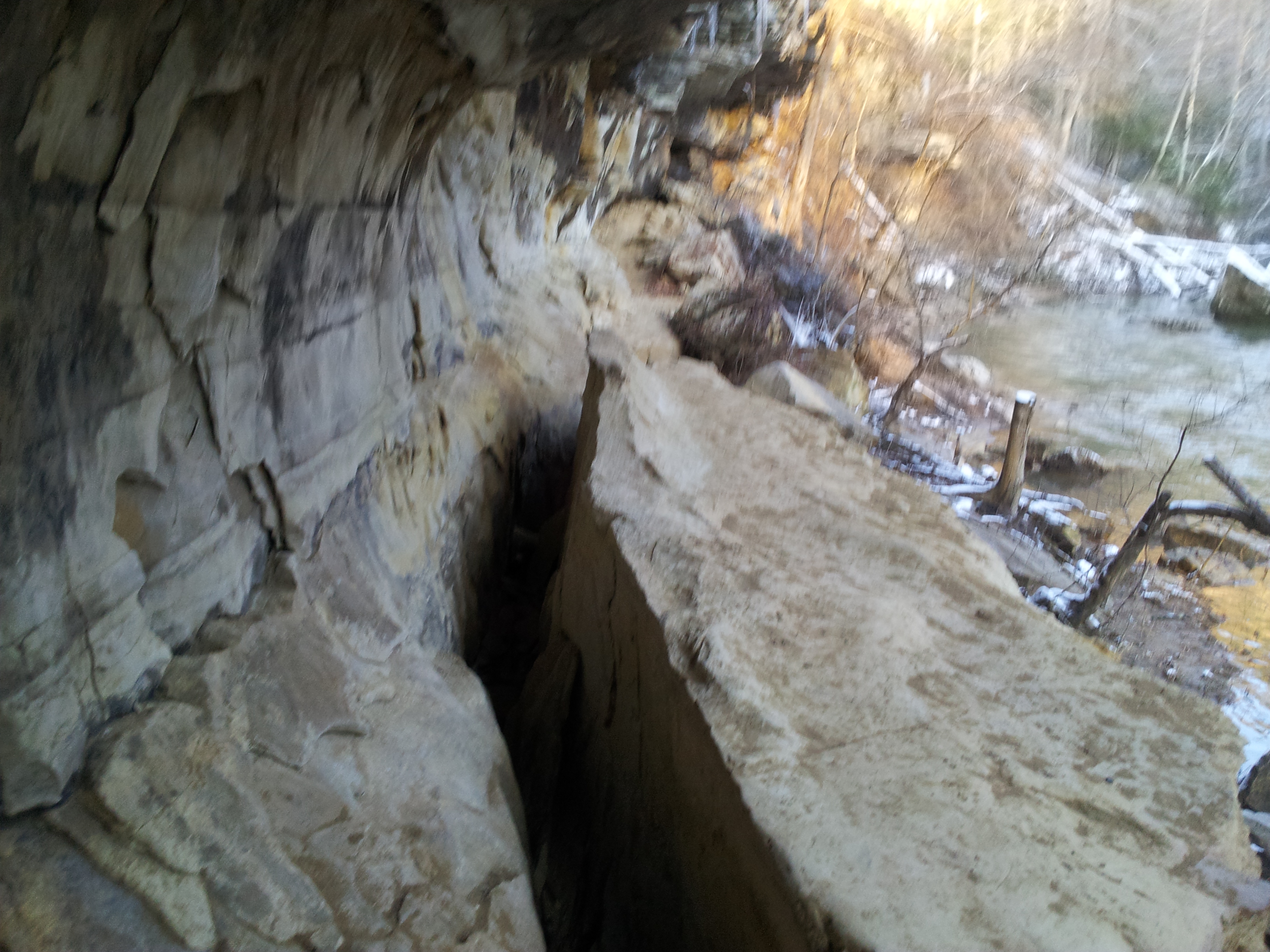
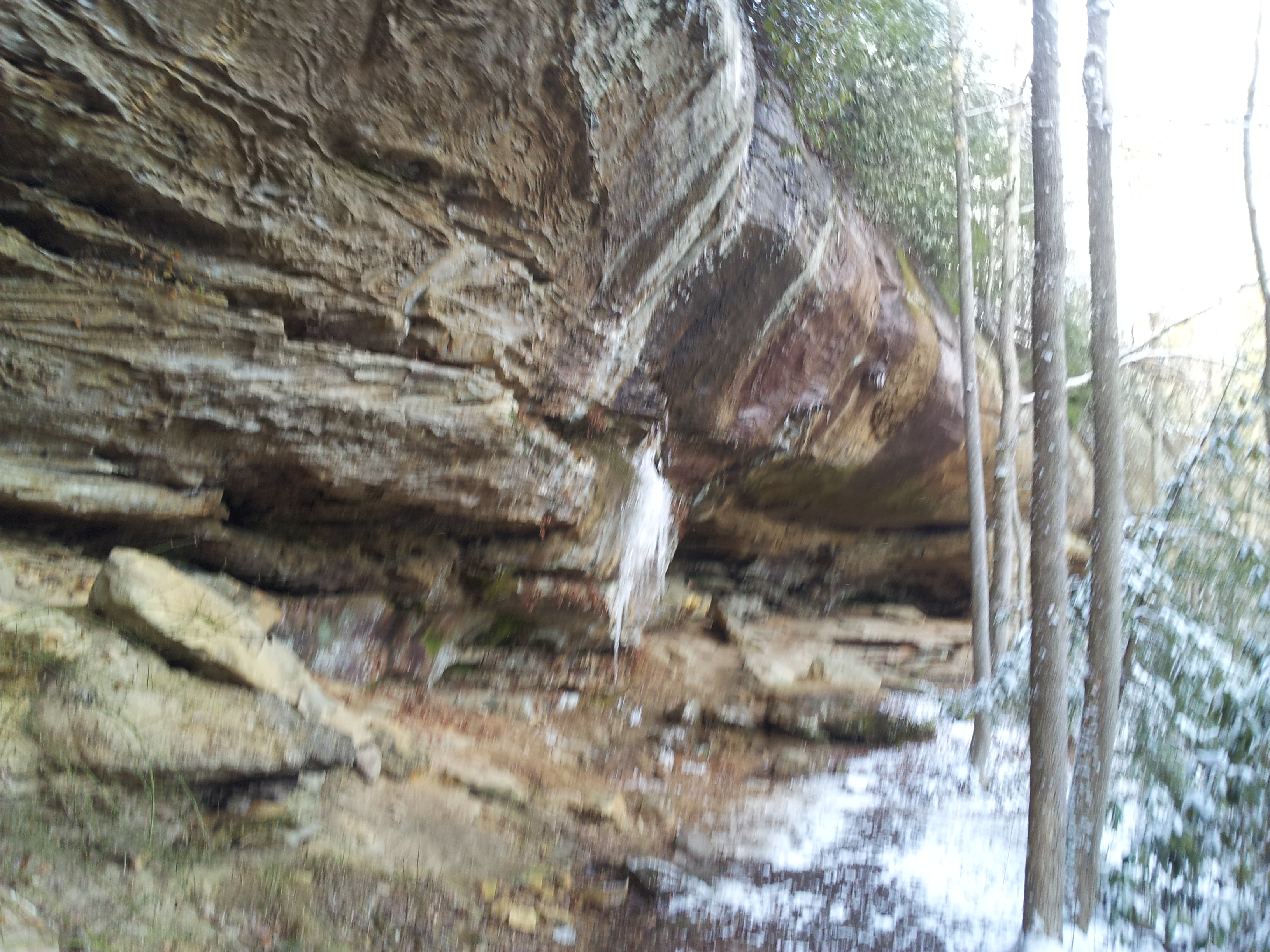
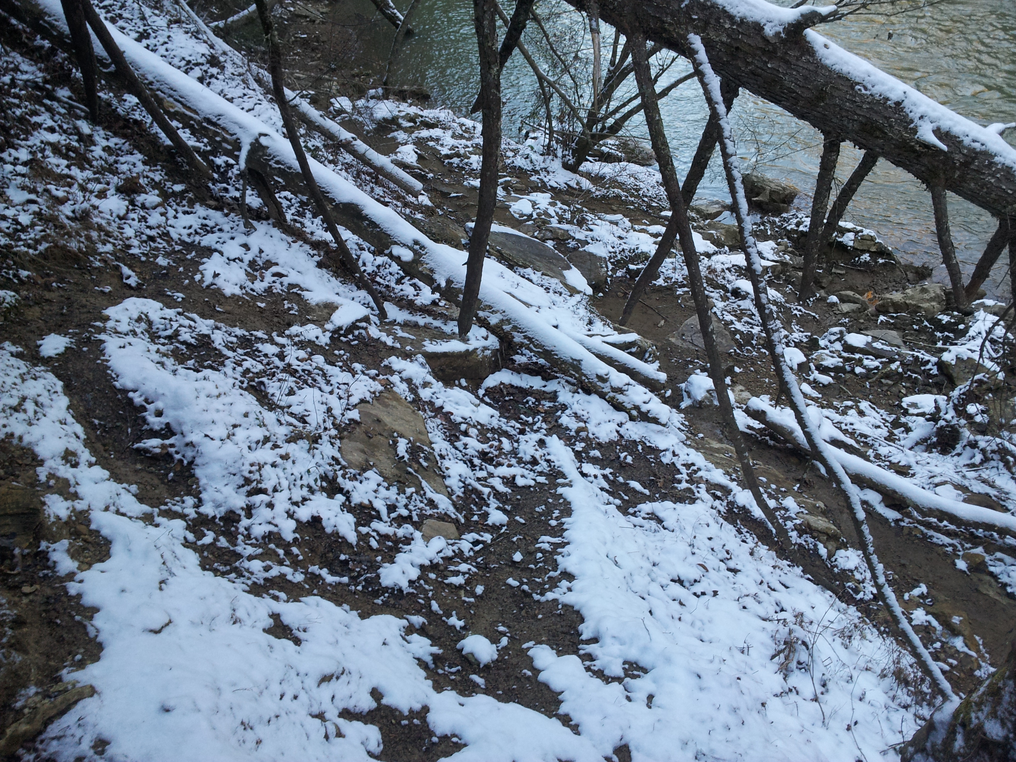
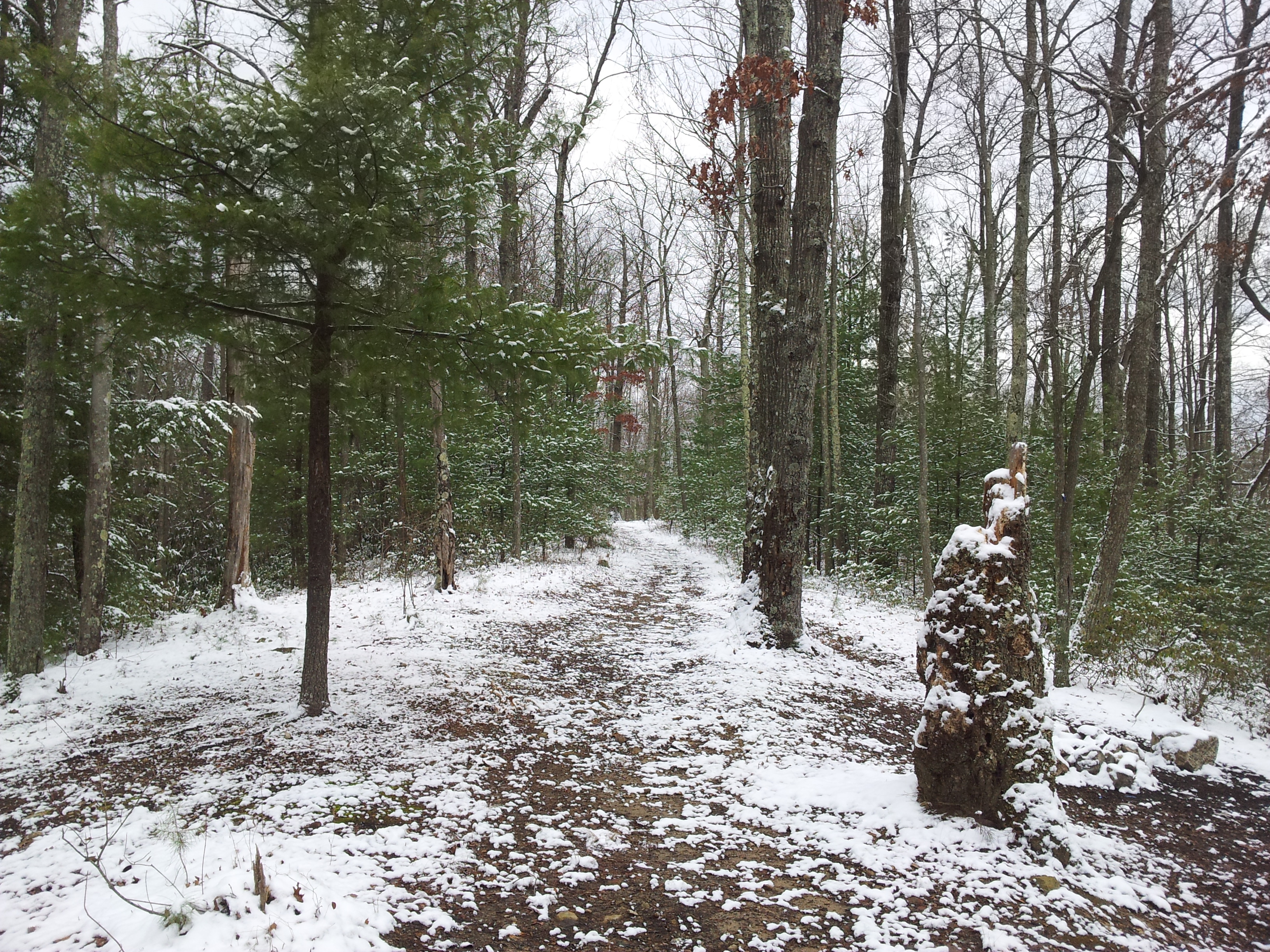
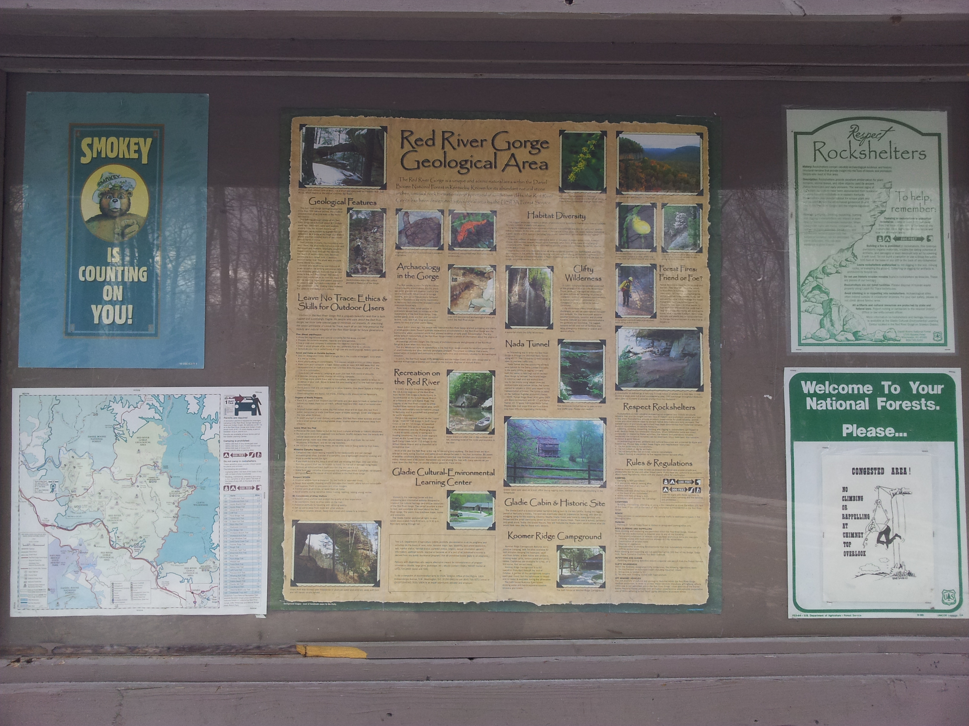
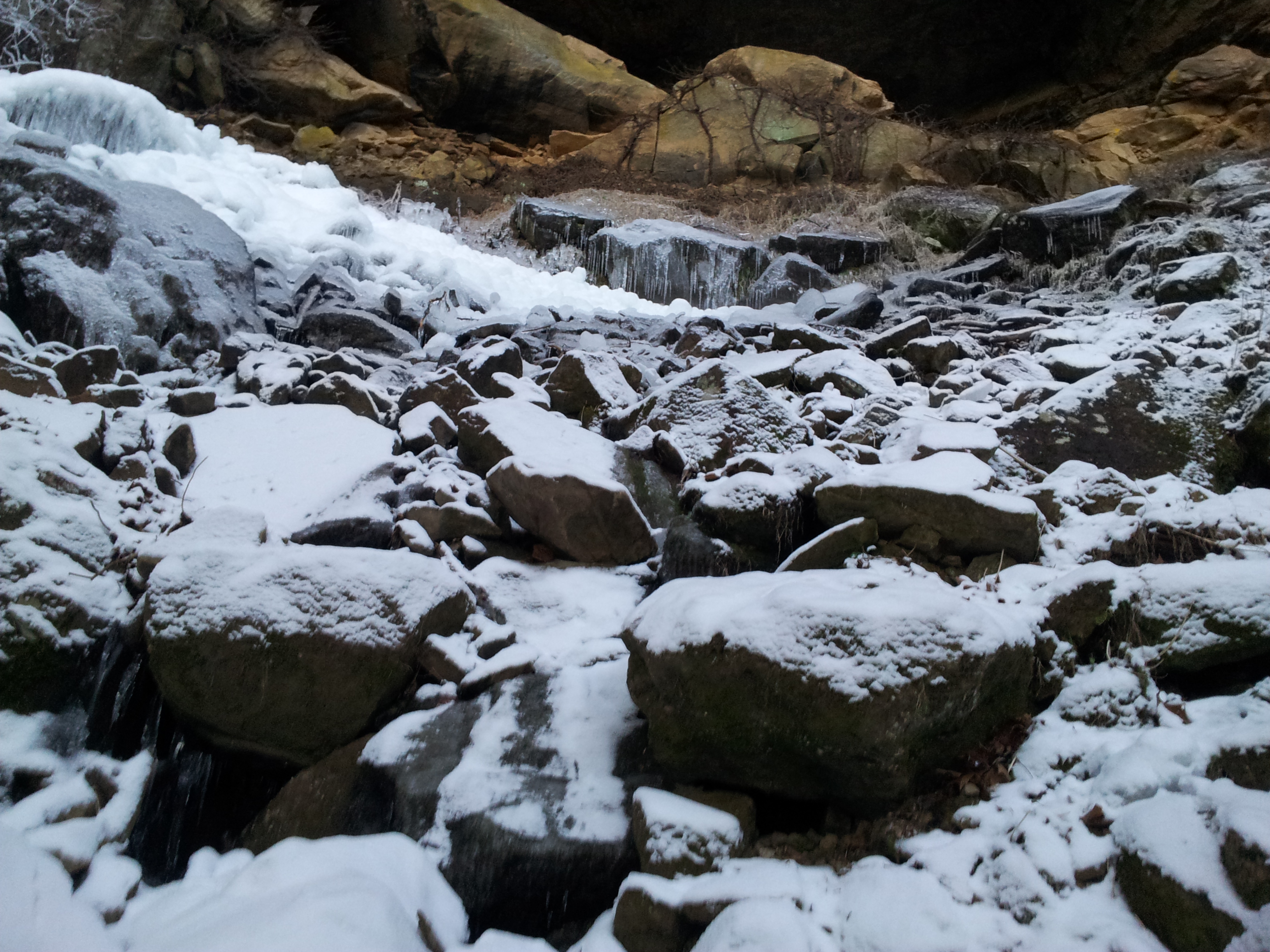
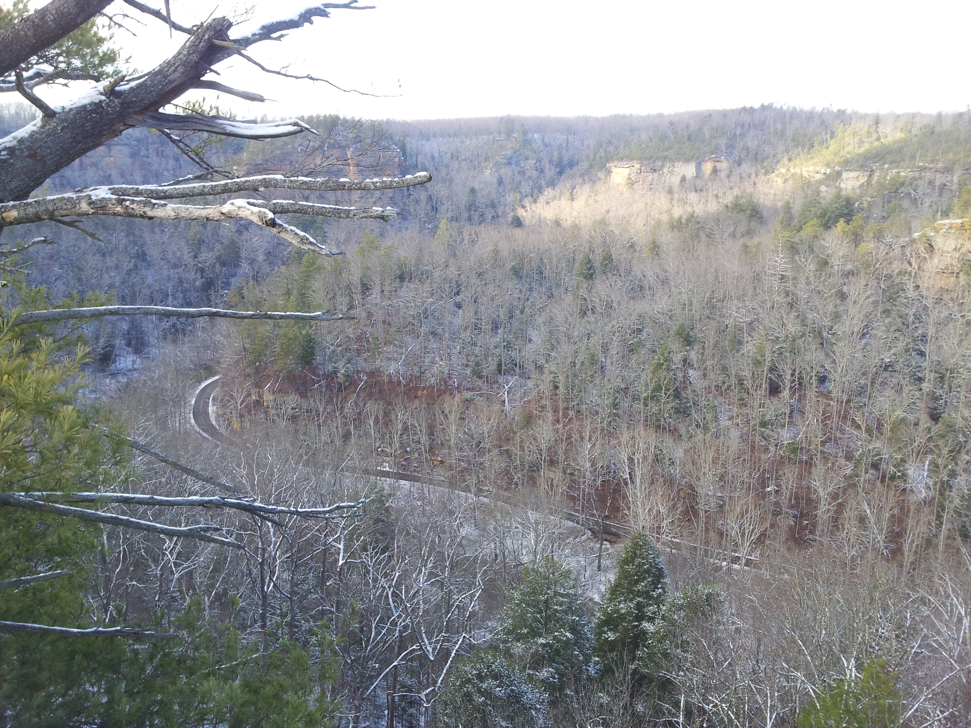
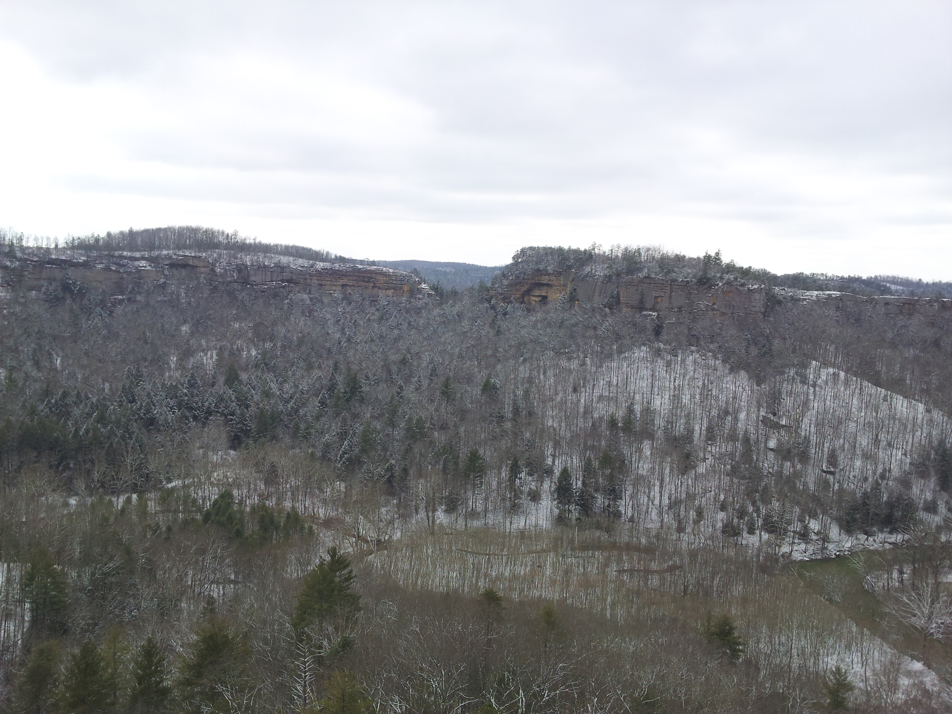
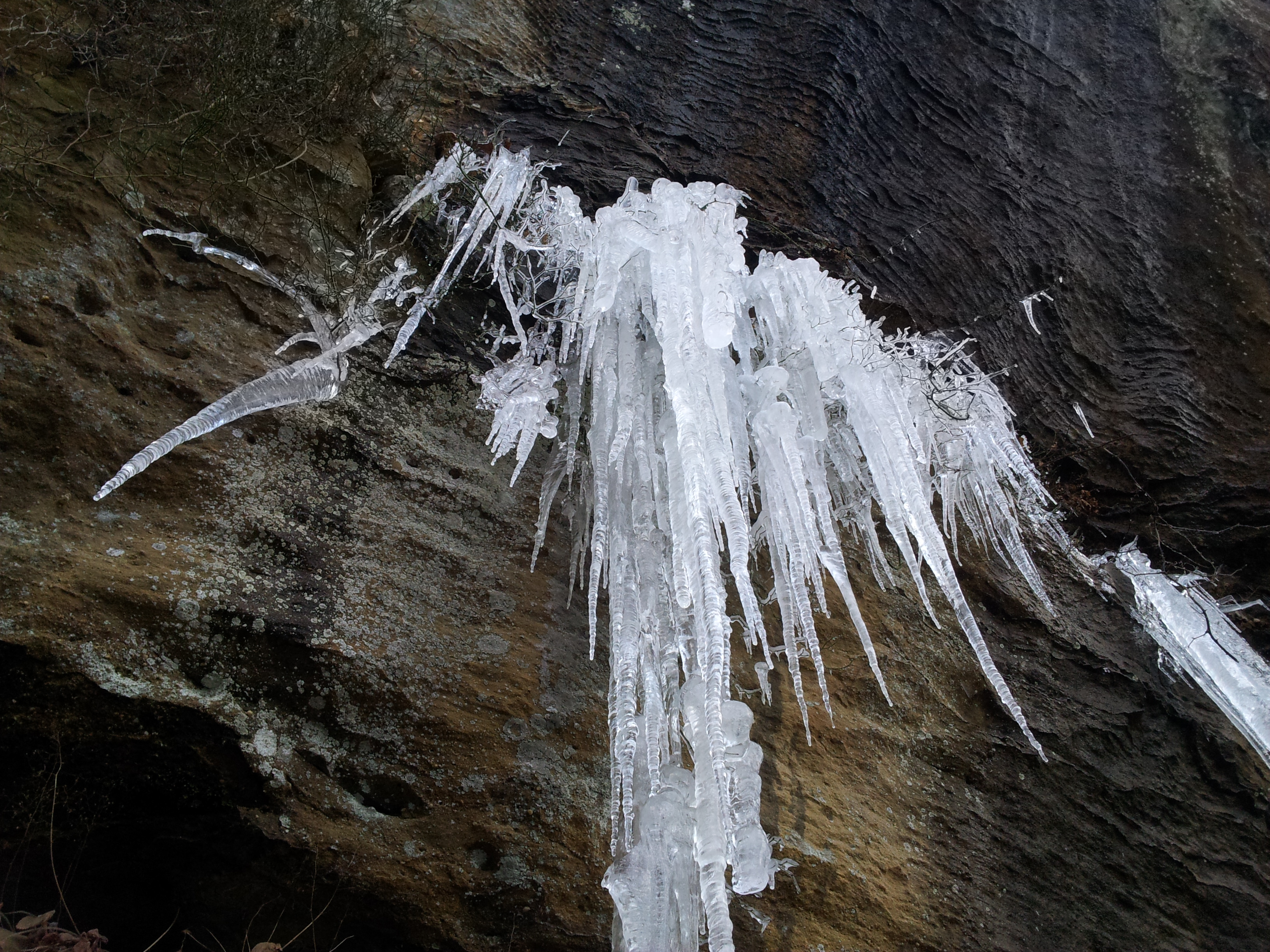
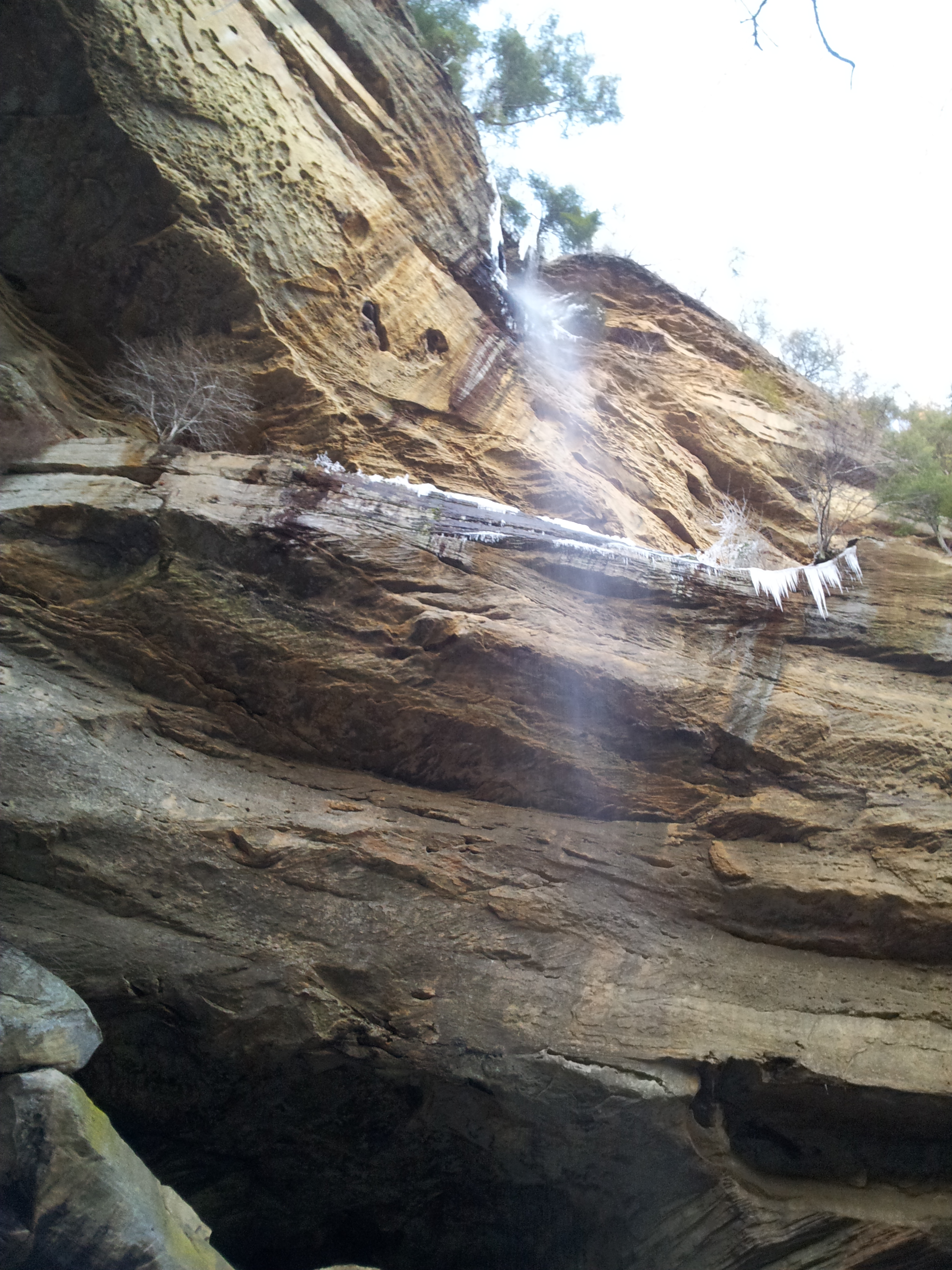
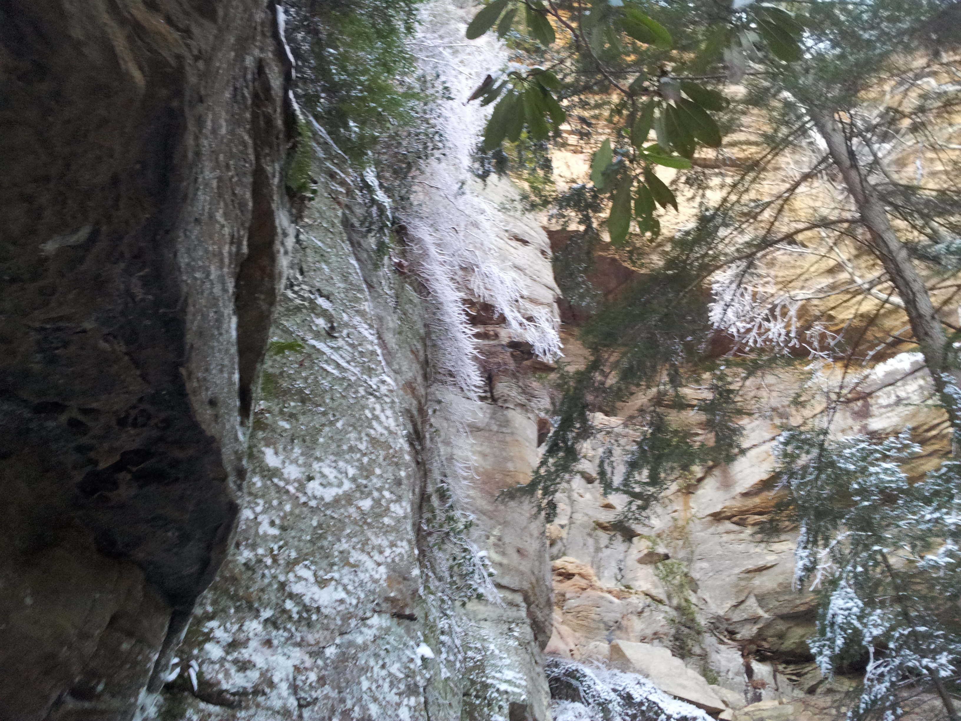
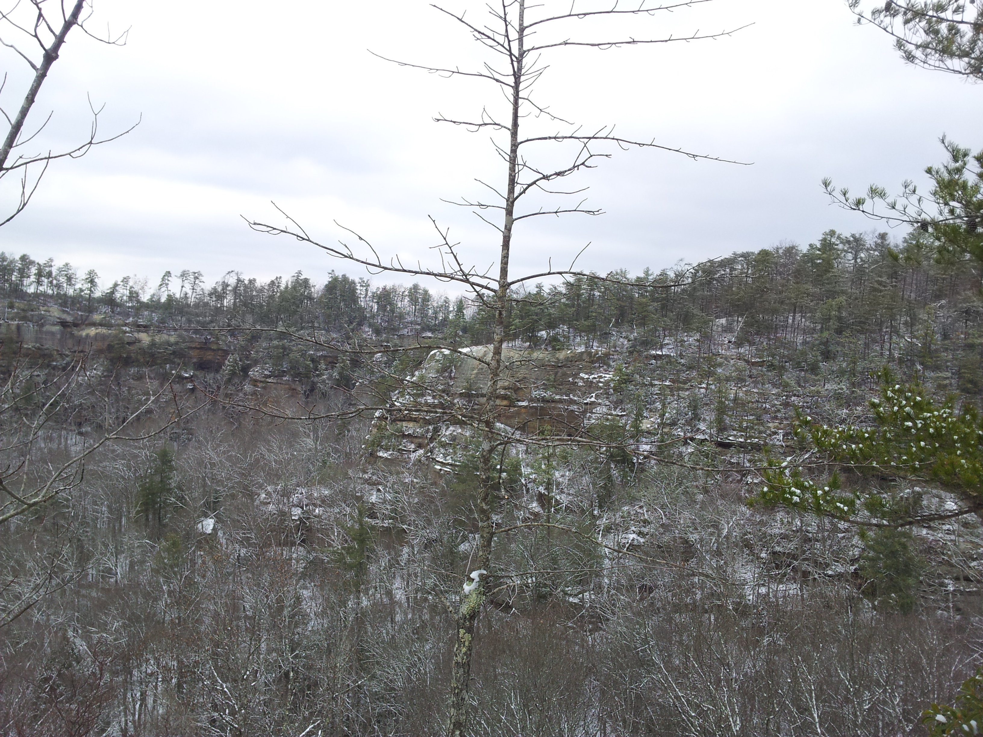
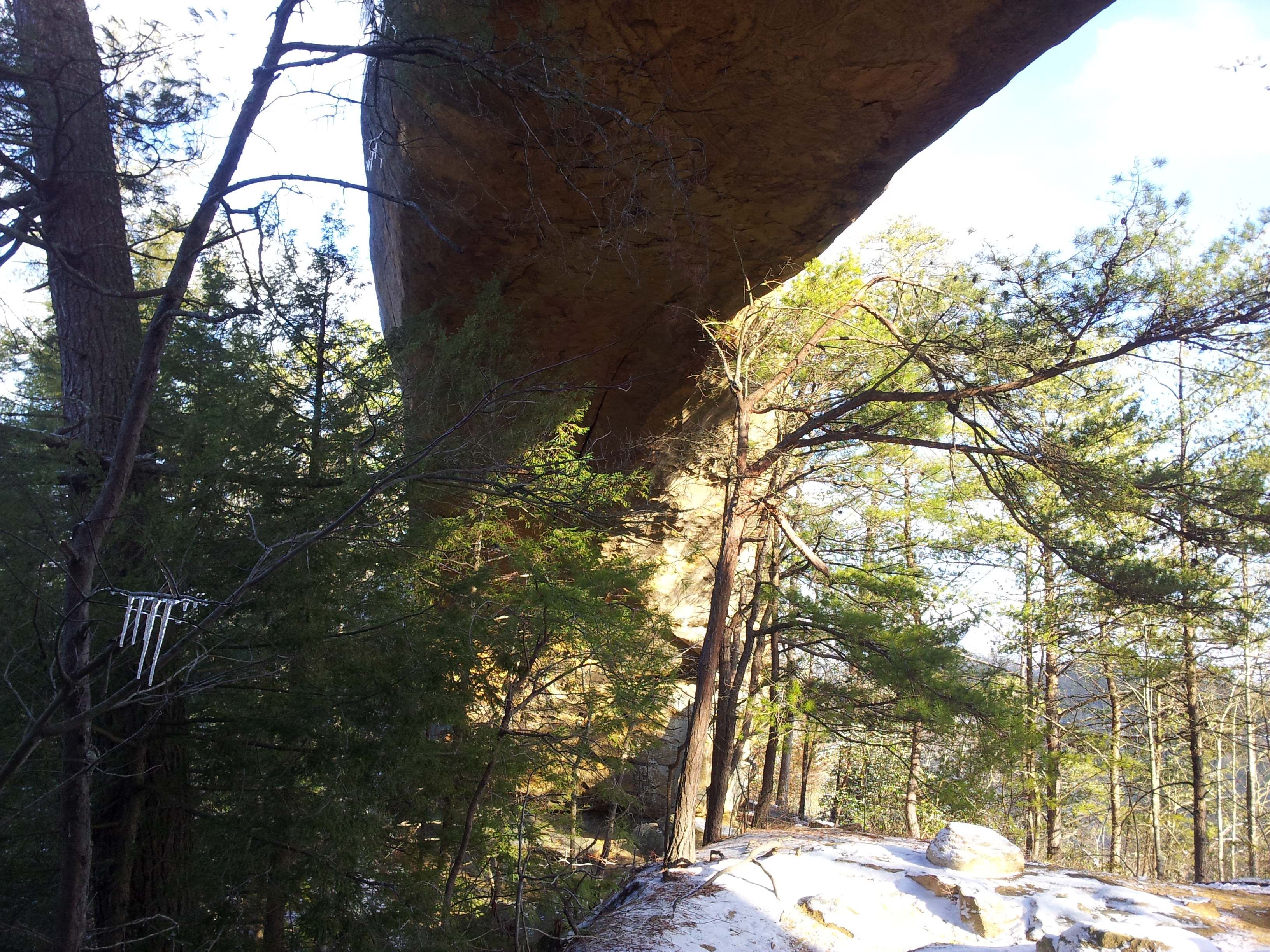
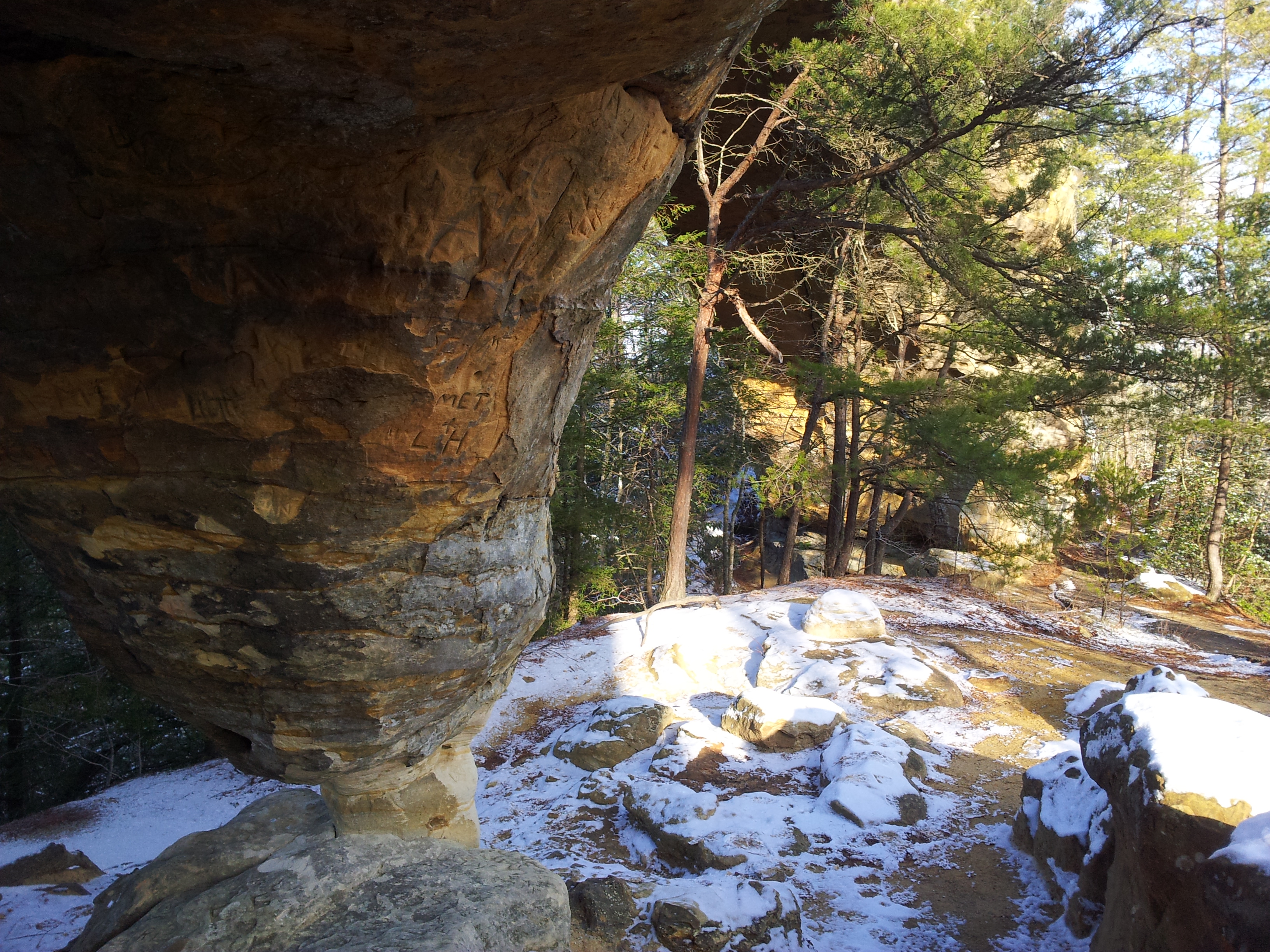
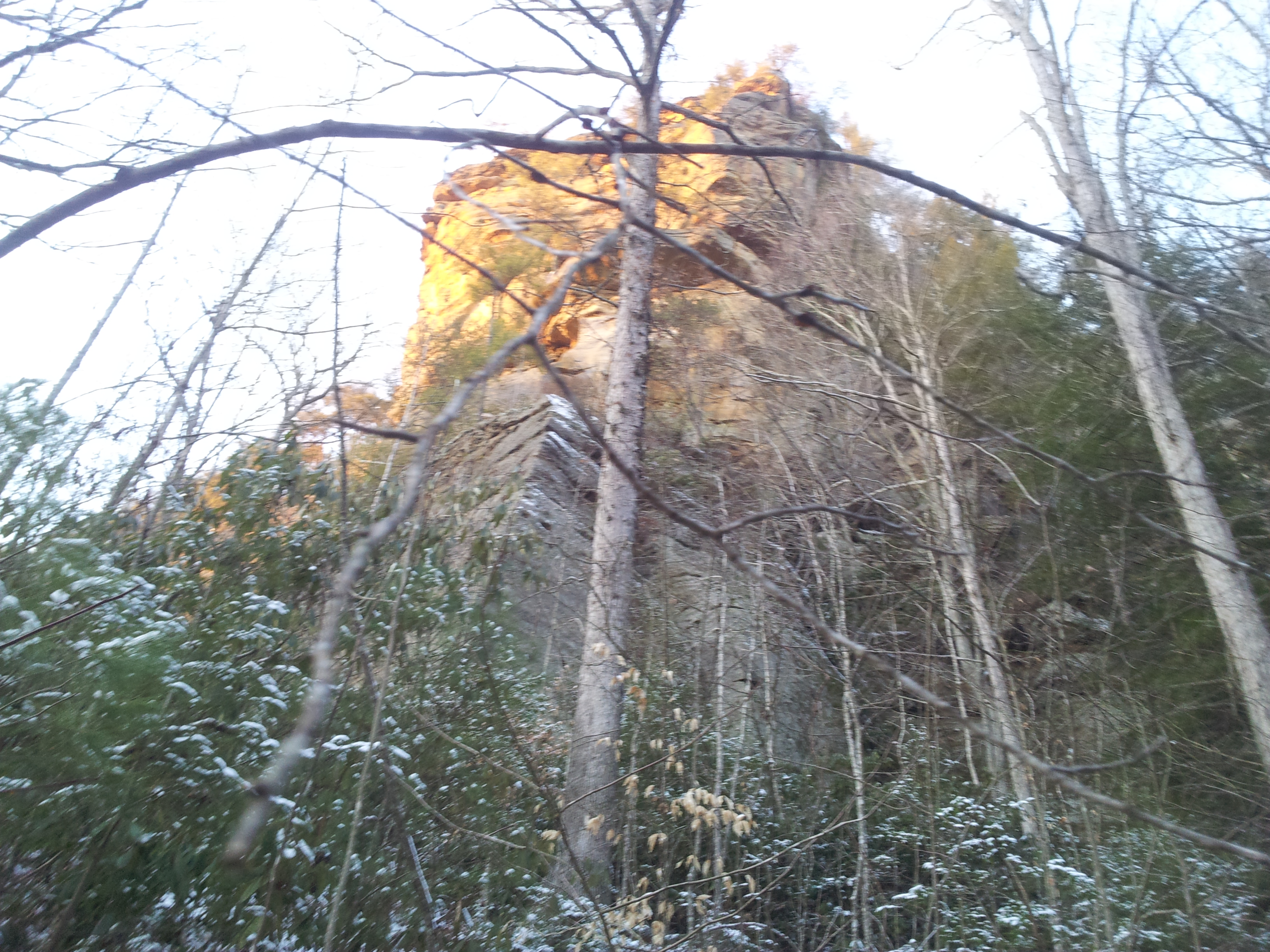
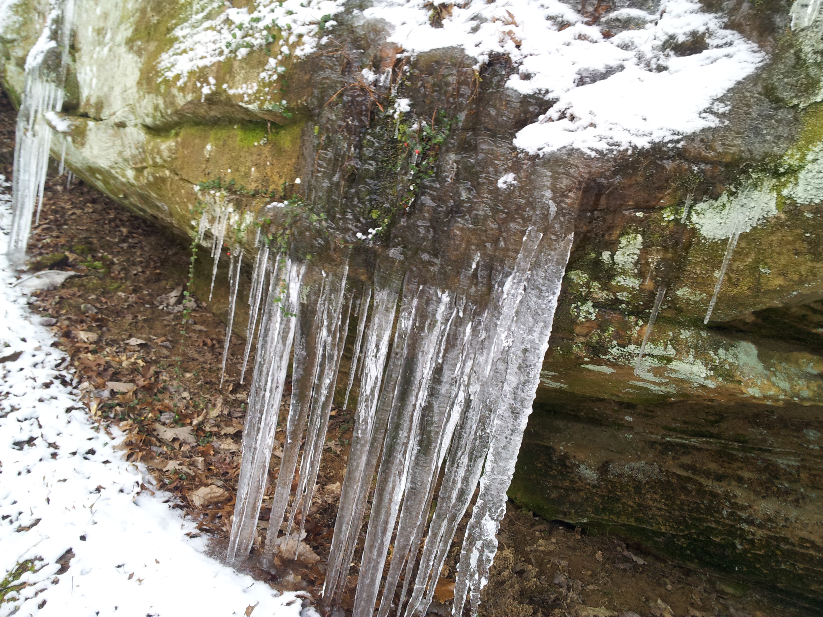
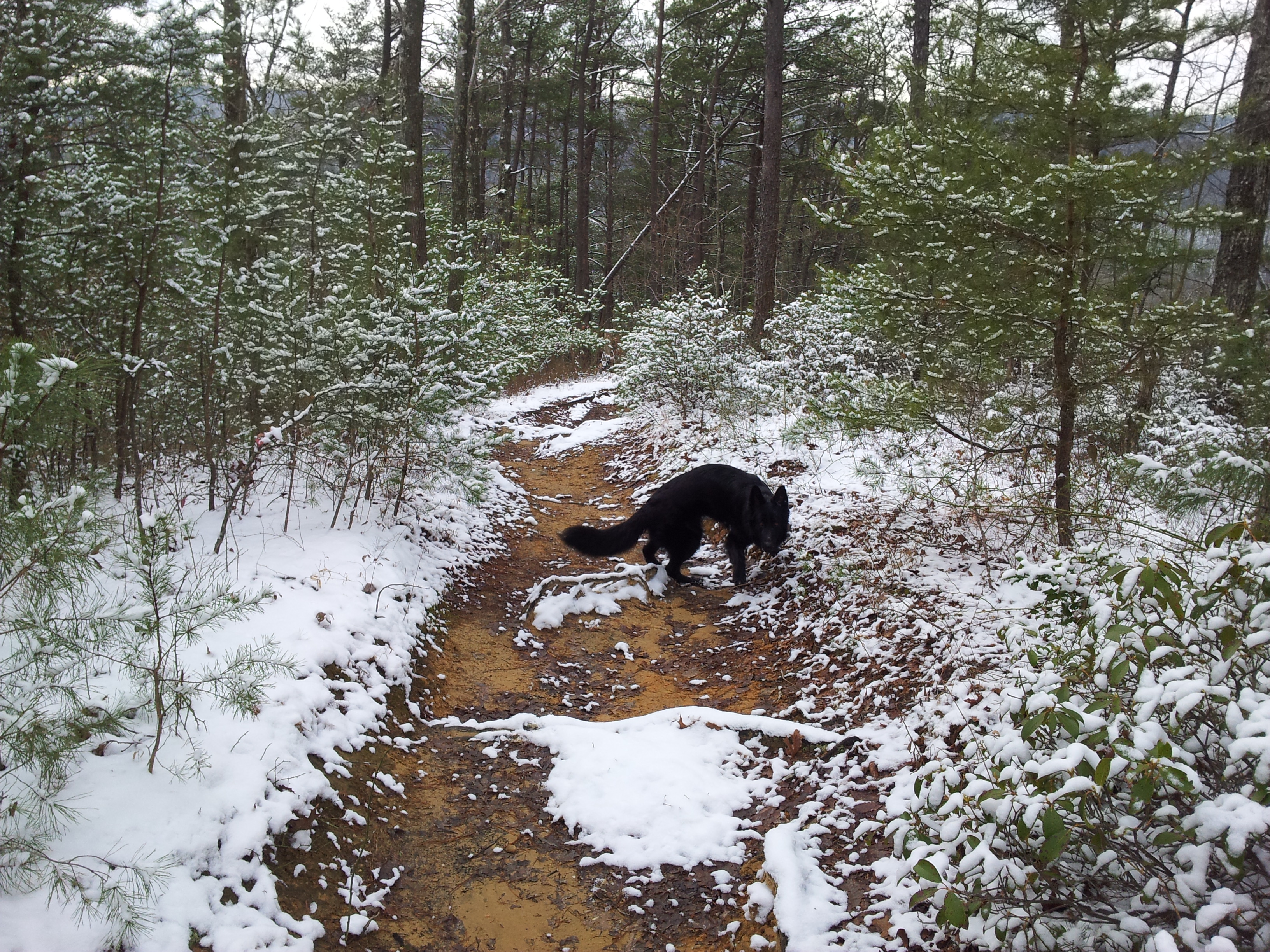
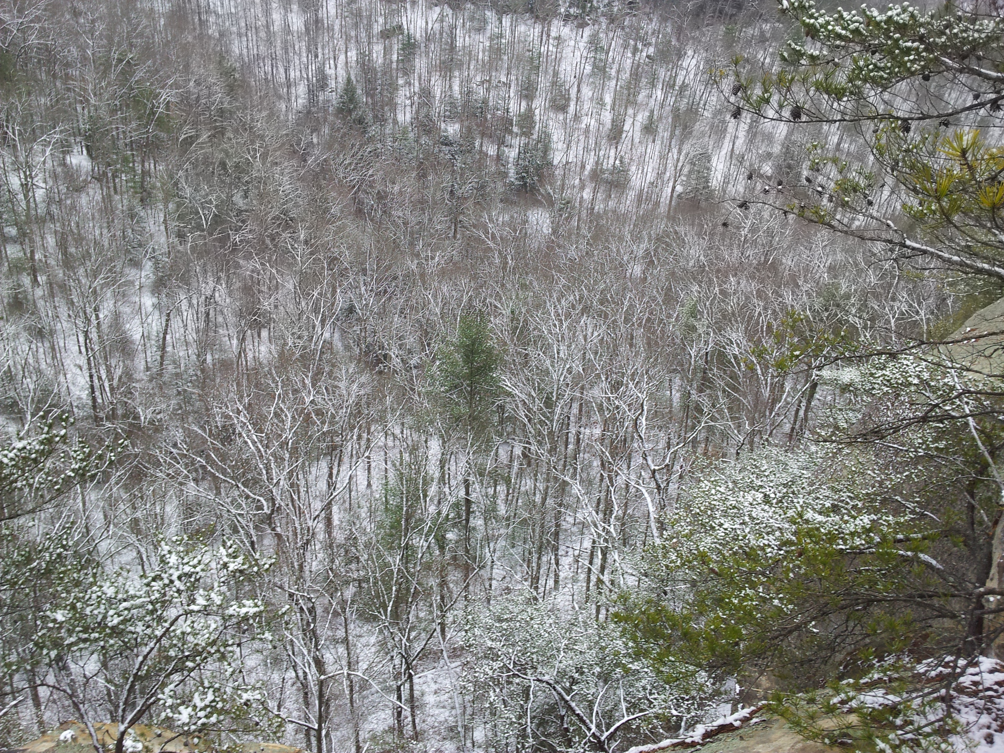
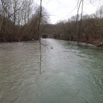
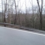
This has to be one of the worst winters I can remember. Not once has there been a reasonable snow, and aside from some some very short lived exceptions the temperature has hovered at 50′ or more since late November. So when a small clipper system dropped a bit of the white stuff in Eastern Kentucky this weekend, I just had to get out and enjoy it. And where else to enjoy a fresh snowfall than Red River Gorge?
Going out meant I had to miss the Packers playing New York, but I already knew how that one was going to pan out (though I had no idea just how bad). It also meant delaying the Cumberland River section of my mapping project, but I’m pretty sure those rivers won’t be going anywhere for a while.
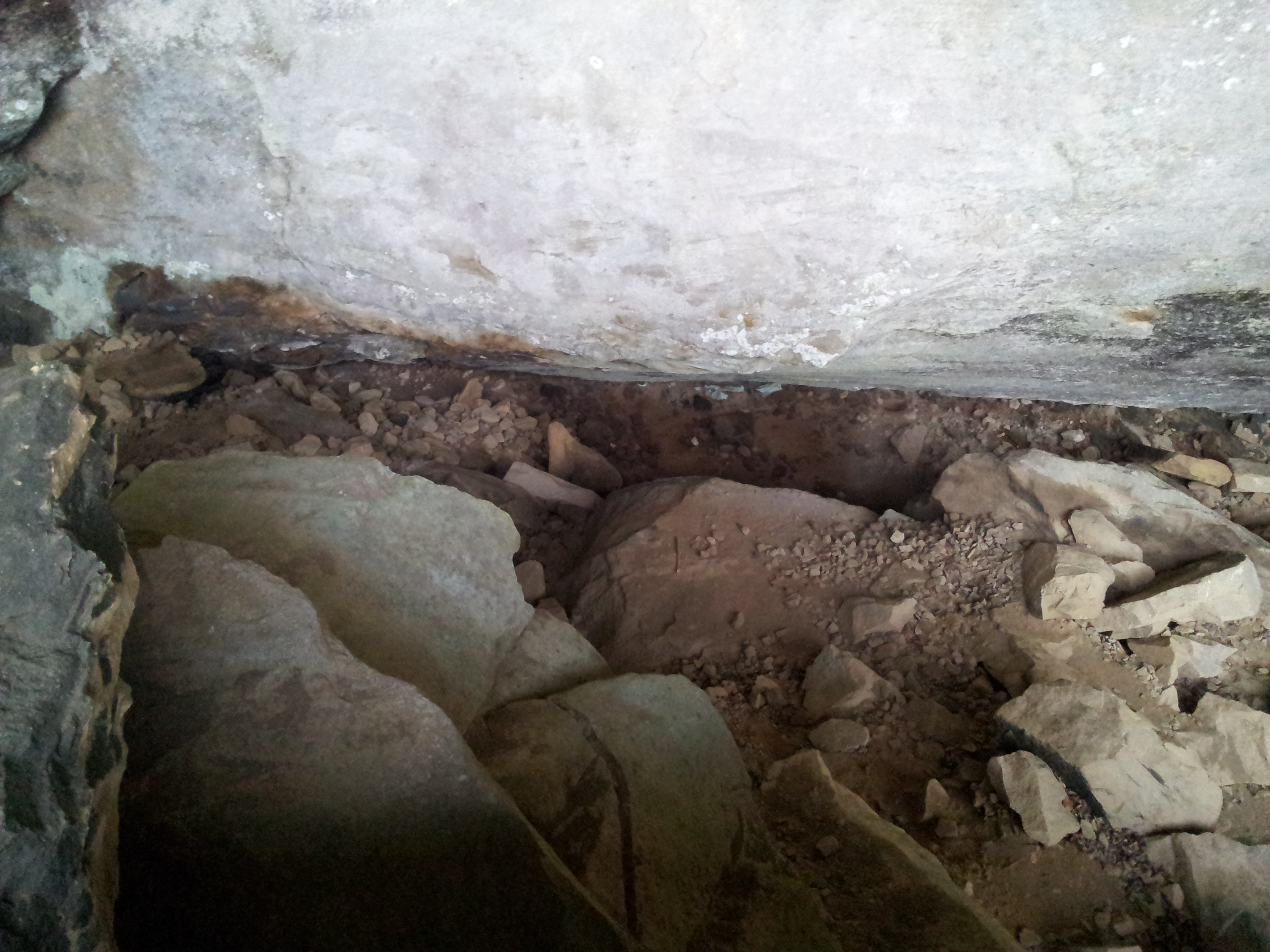
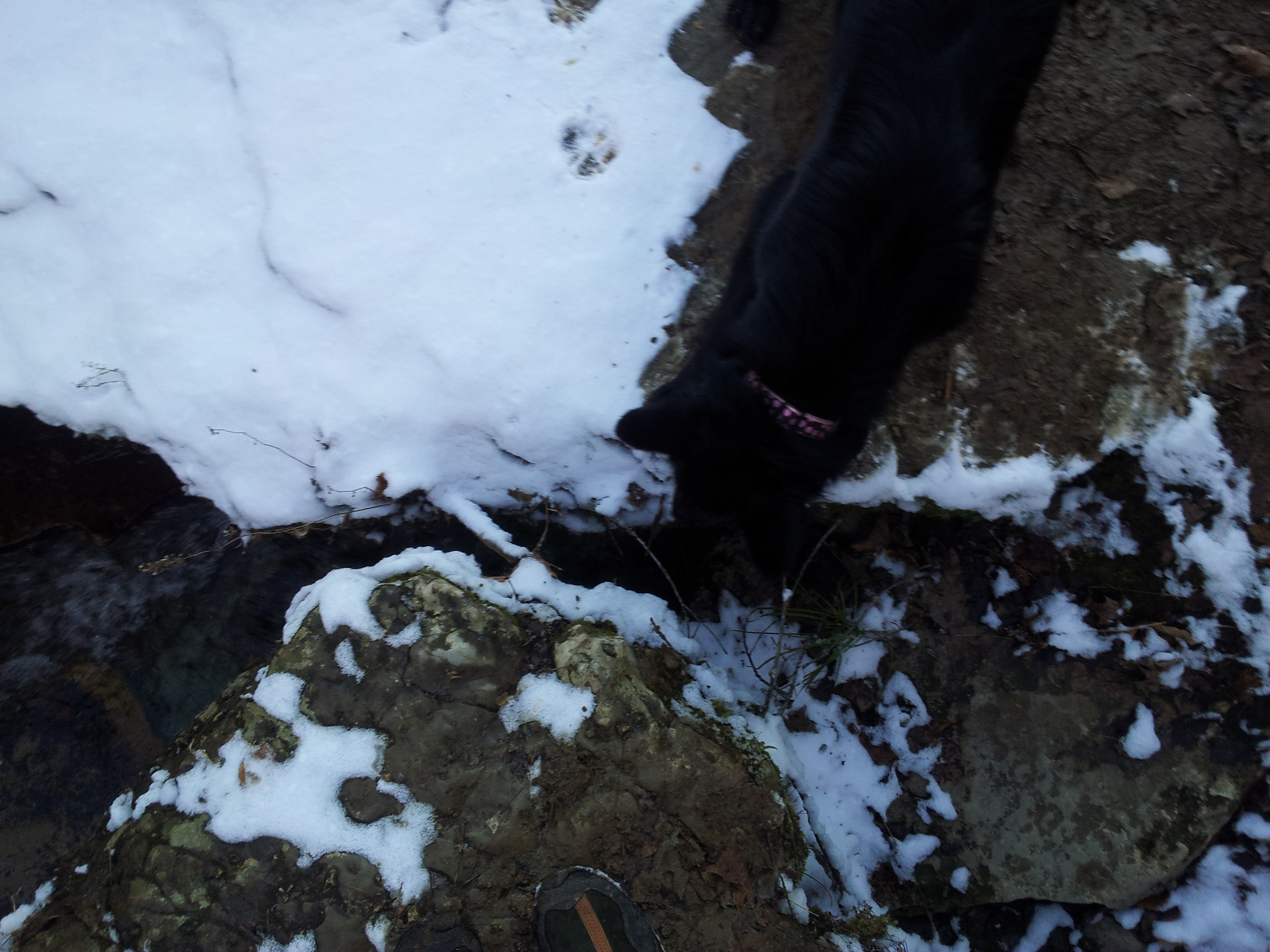
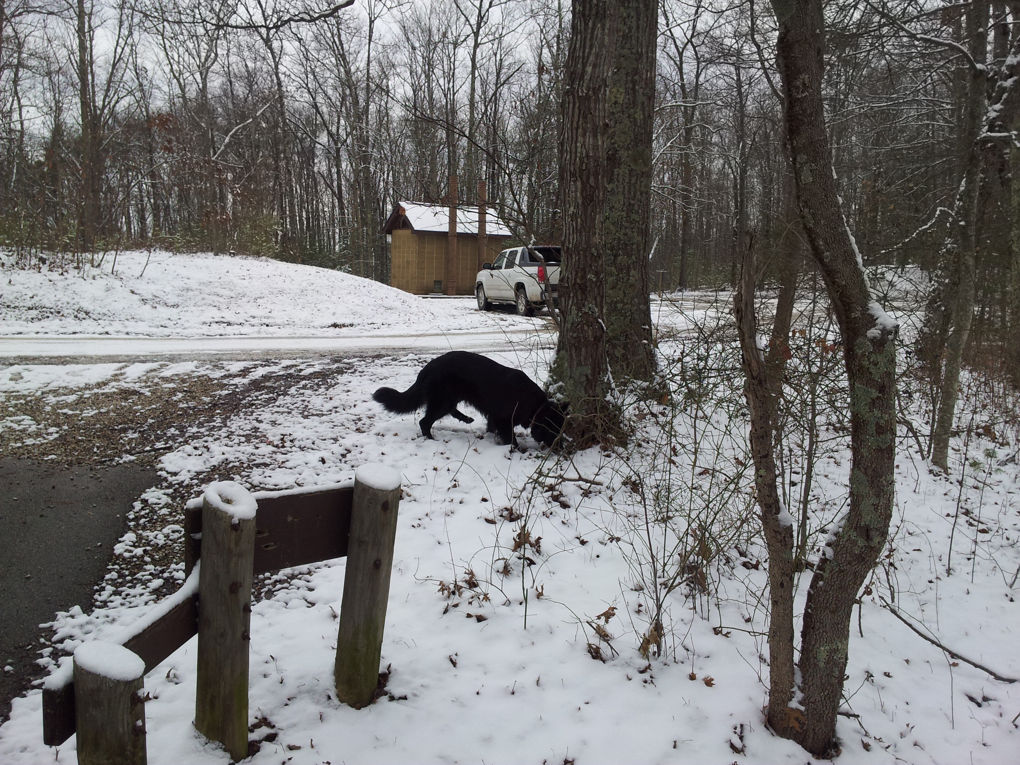
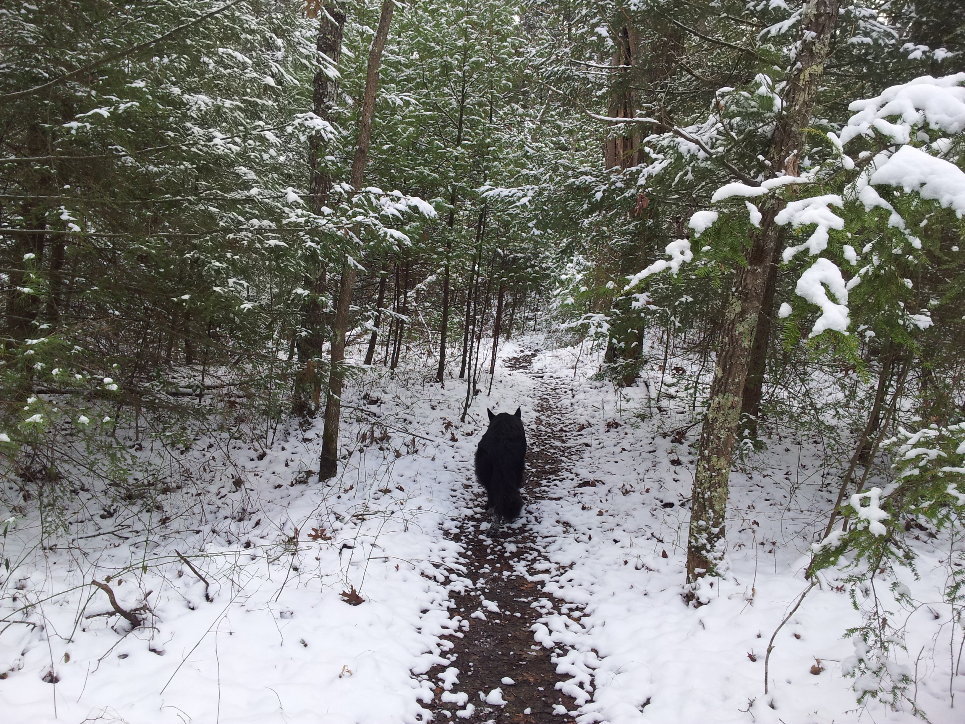
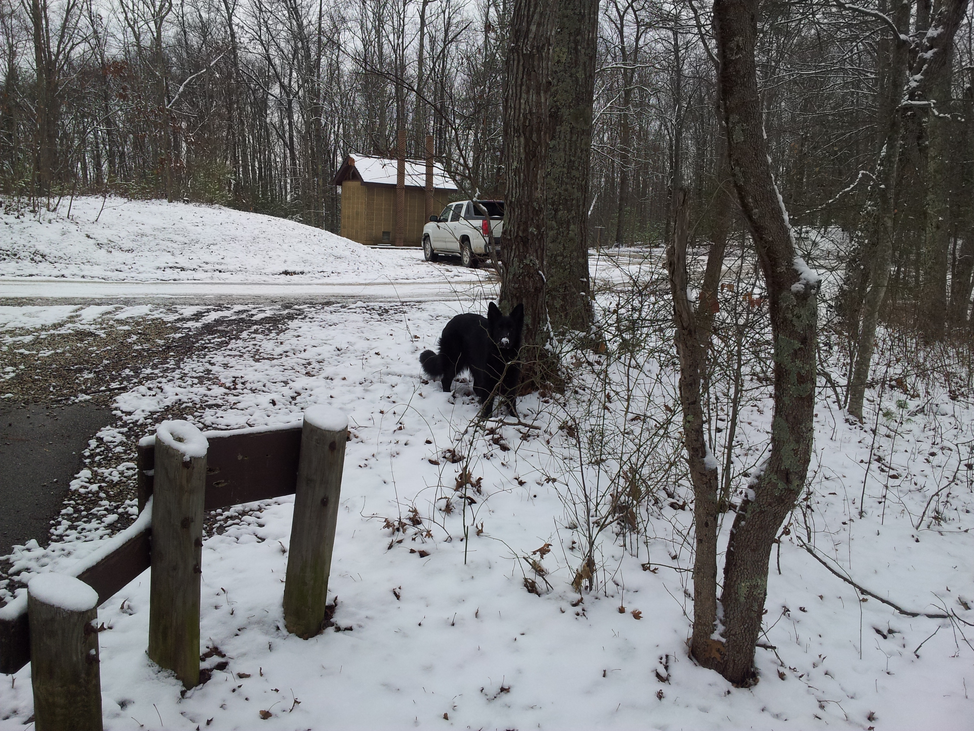
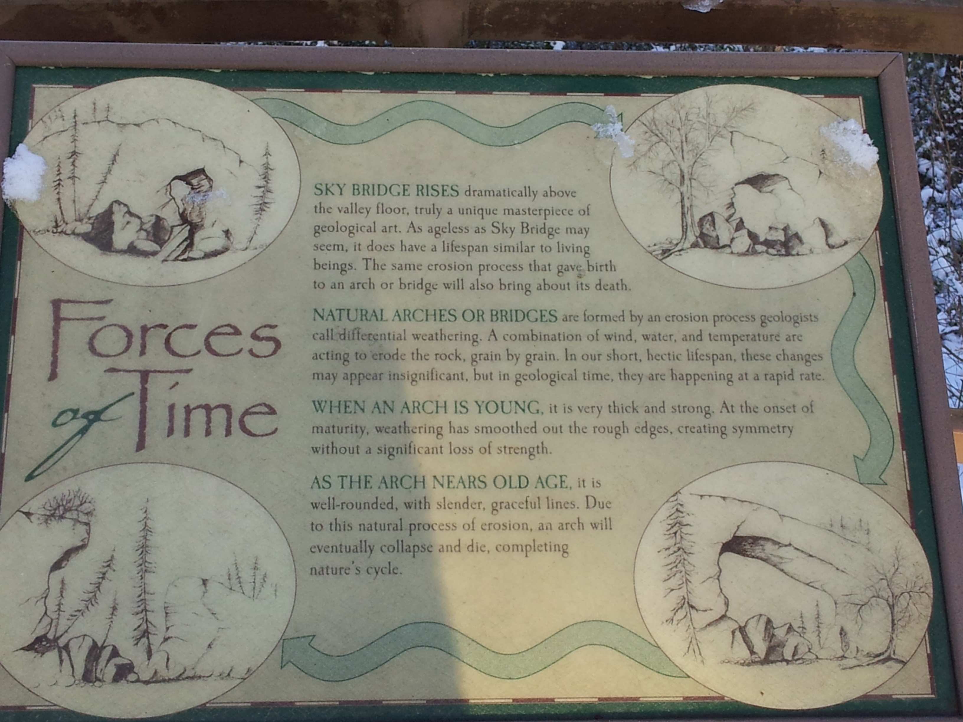
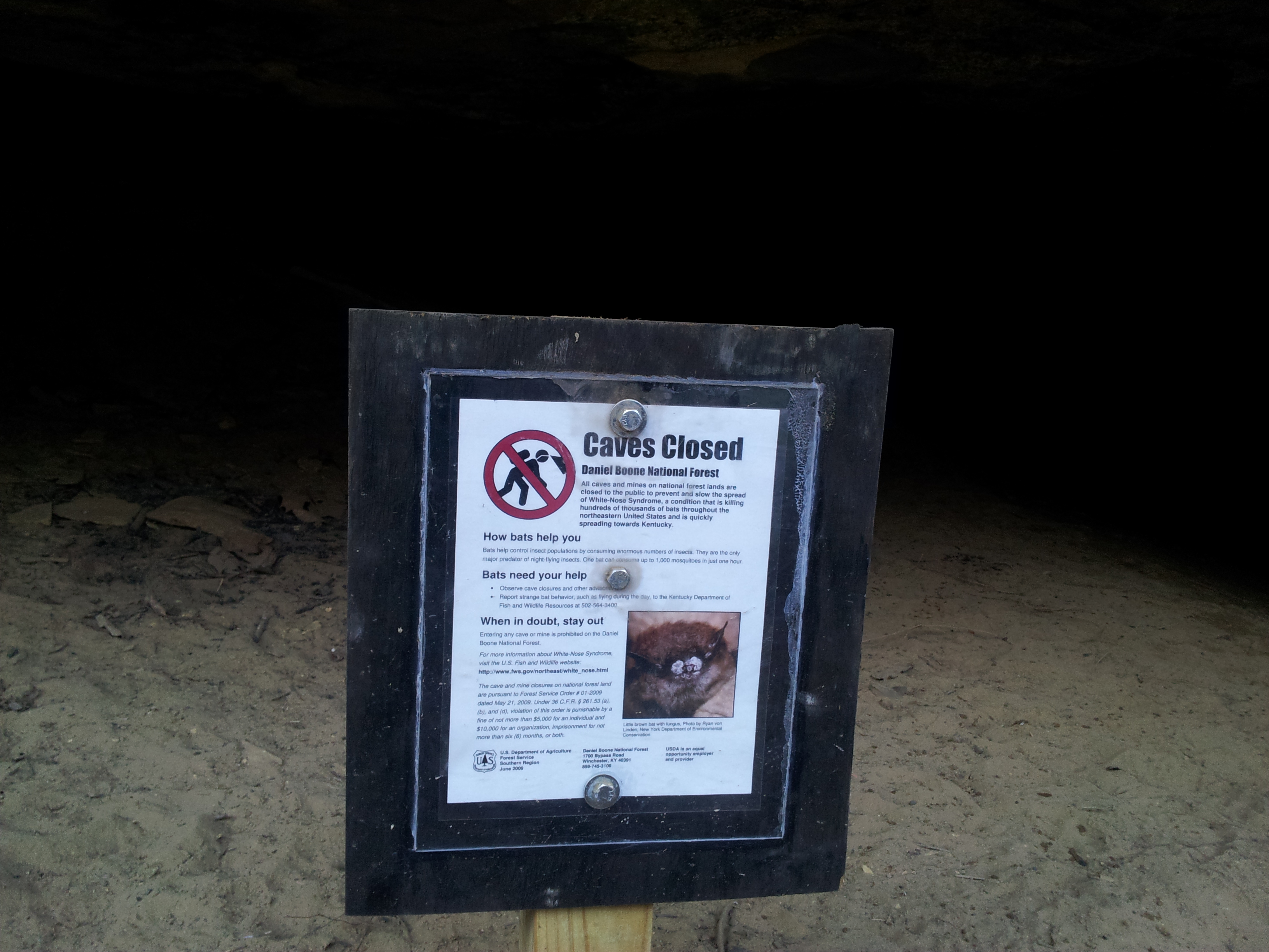
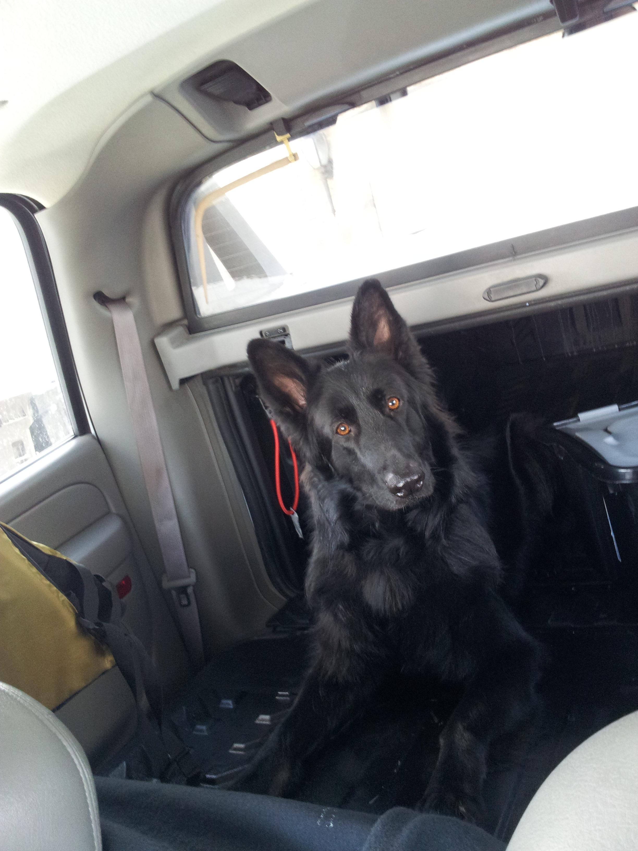
In short, a no brainier. Strap on the field kit, grab Cammy and away we went for a brisk day of winter walking. Surprisingly enough dogs can’t solo climb, so I had to leave some of my favorite places off the list – Half Moon arch in particular. Still, we hit quite a few landmarks before the day was through. Chimney Rock, Half Moon (just not to the top), Sky Bridge, Angel Windows, Eagles Nest, and of course the Nada Tunnel.
Cammy seemed to love it, and I for one was happy to finally have some company!
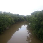
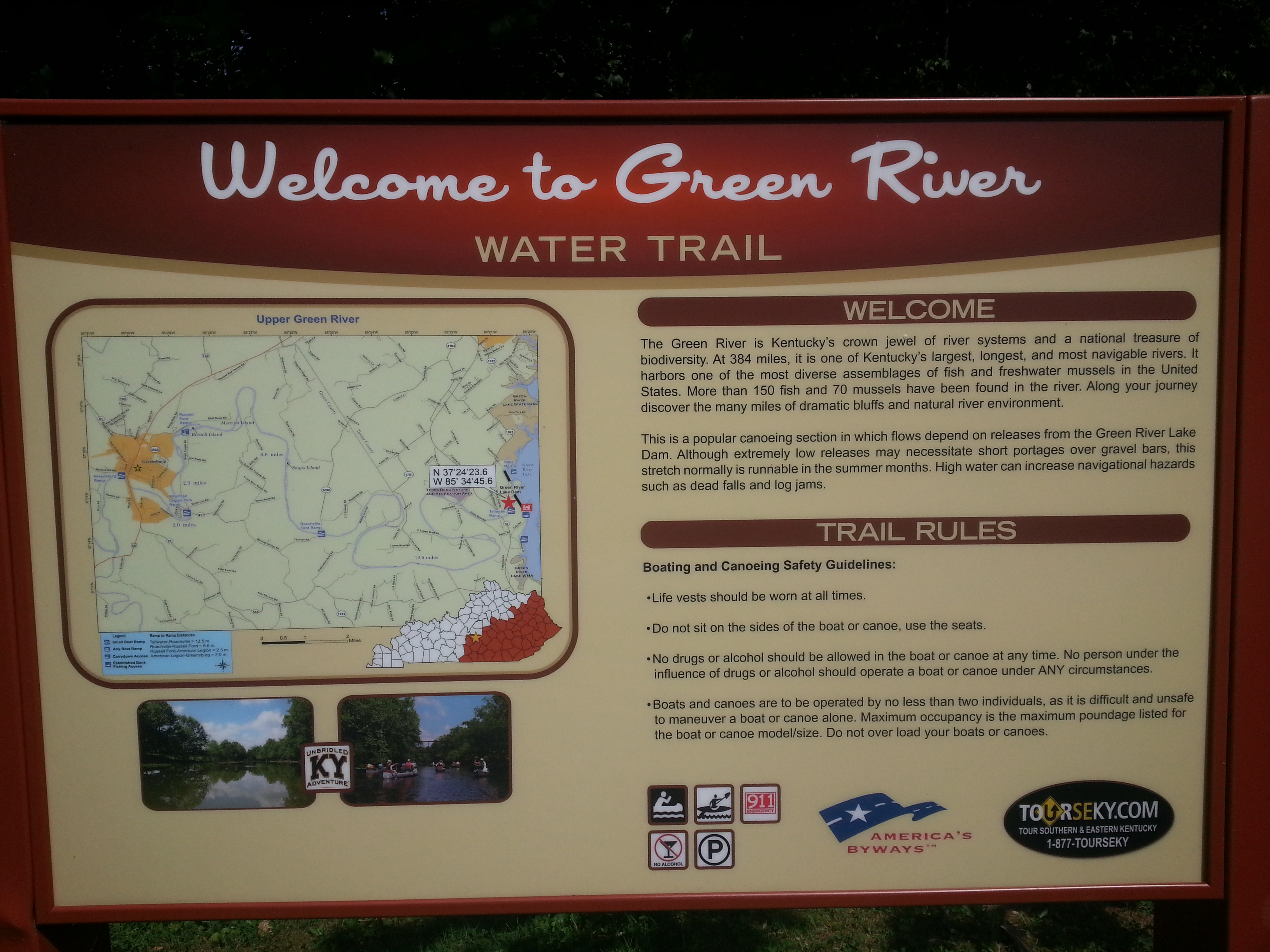
One of my personal projects is to map out and survey the major rivers in Eastern & Central Kentucky, in particular, their headwaters. Eastern Kentucky is drained by three main rivers; Big Sandy, Licking, and the Cumberland. Each of these rivers runs a course quite distinct from the others, though their headwaters reside within a few dozen miles and all are tributaries of the Ohio. Central Kentucky is in turn drained by the Kentucky River, whose headwaters are also in the same vicinity.
Licking River
The Licking river runs through my hometown of Morehead and beyond forming Cave Run Lake it attracts little attention. It has a powerful flow year round, but few rapids and runs mostly through private farms. Its headwaters are located in Magoffin County in a difficult to access area around route 7. Unlike the others in this project, the Licking River retains the same identity end to end. It does have two “forks”, but these are in name only. Both are simply downstream tributaries, although locals along the South Fork often mistake it to be the main stem. The Licking is personally notorious to me because every time I go near it, mishaps surly follow. One in particular probably should have killed me, but instead just left a minor scar. Sometimes it’s better to be lucky than good. Rivers have a personality, and as I am learning, the Licking doesn’t seem to like me very much. I’ll probably do this one next.
Big Sandy River
Second to the Cumberland in historical significance, the Big Sandy proper is barley 30 miles in length, otherwise divided into Tug Fork and the dangerous Levisa Fork. Because of the distance involved, I will likely save this river for last, and conduct most of the mapping during kayaking trips.
Kentucky River
The Kentucky itself is easily assessable, but its three forks are somewhat dispersed. I plan to take this after finishing up the Licking.
Cumberland River
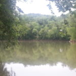
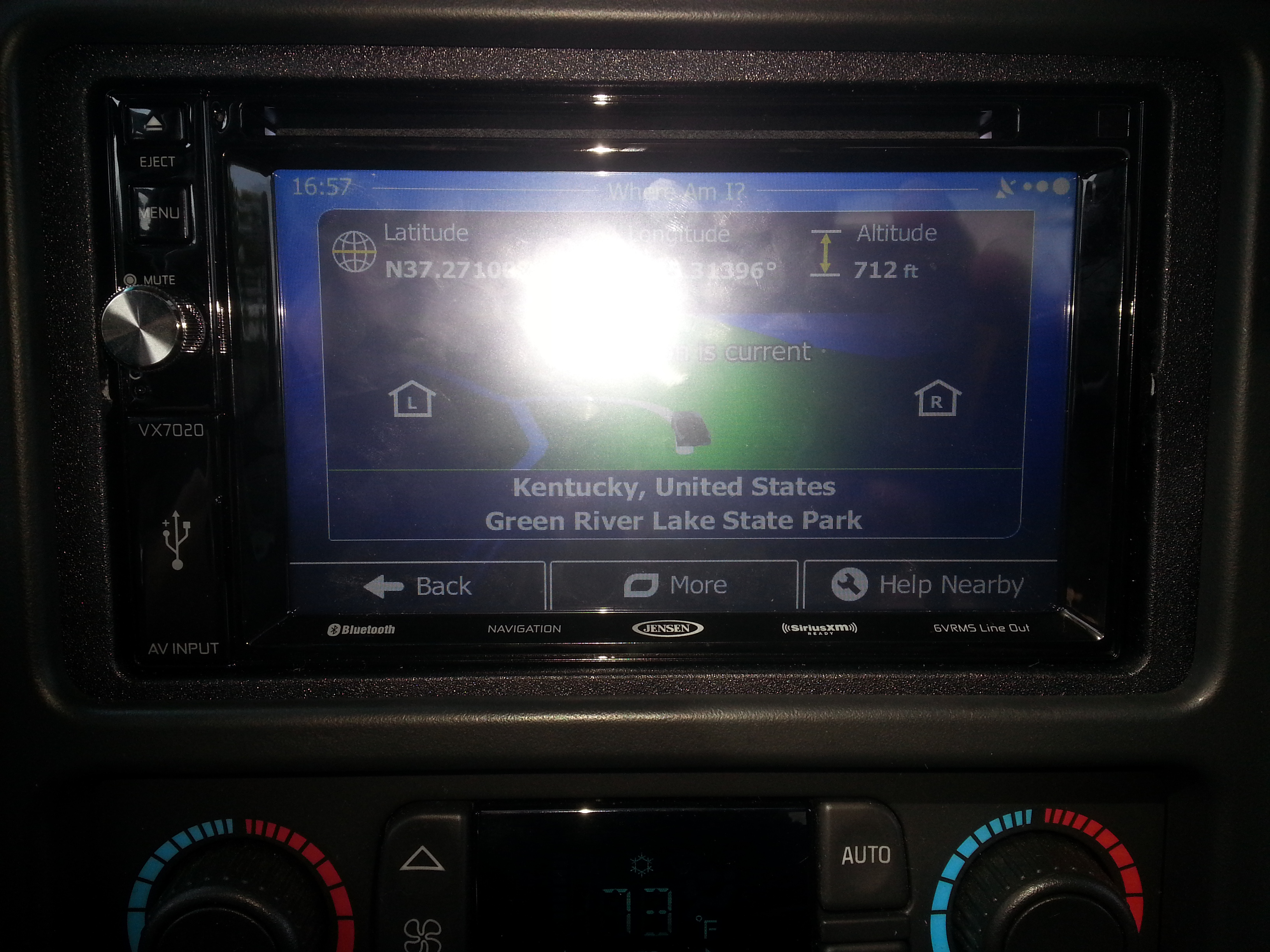
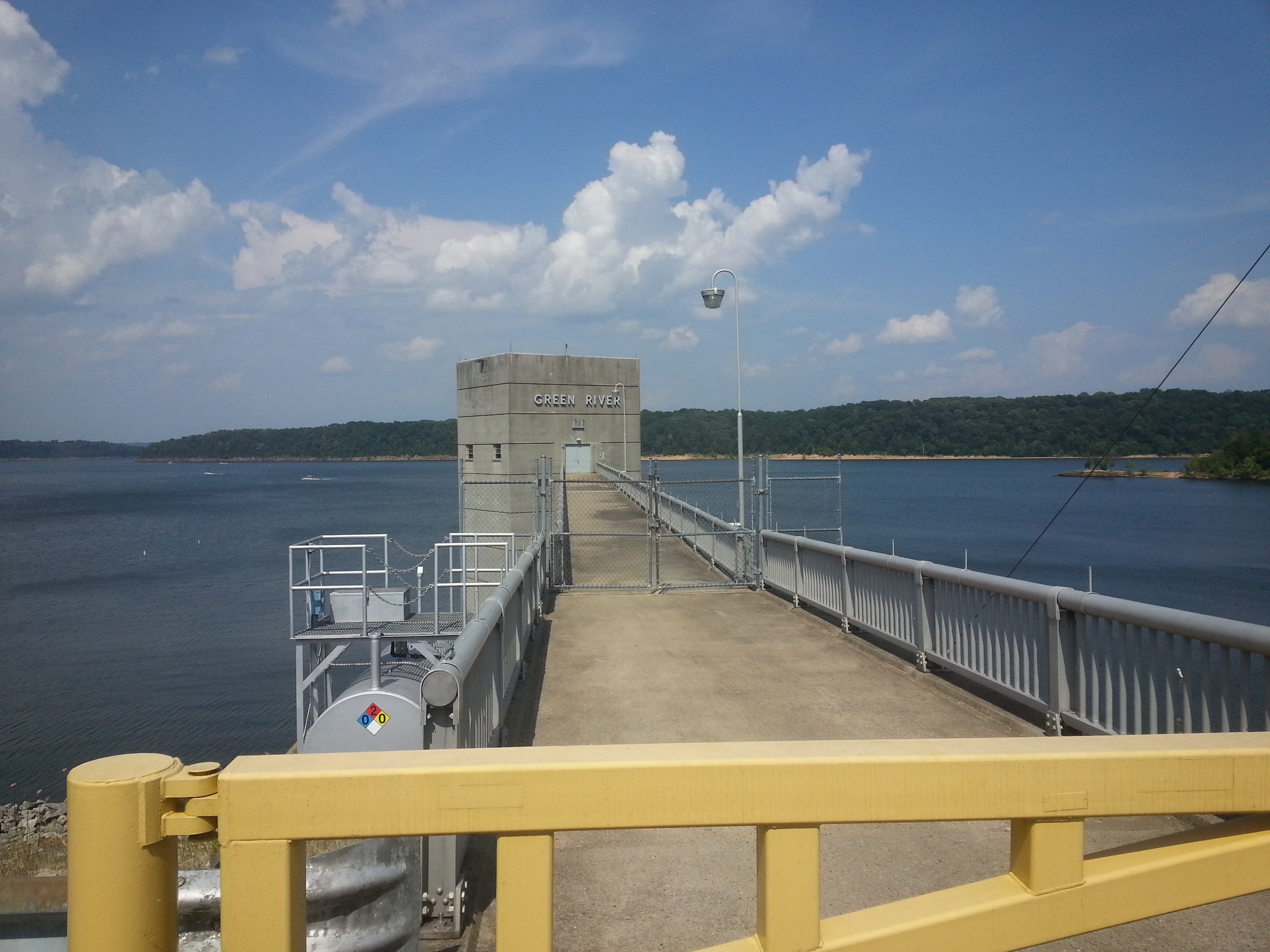
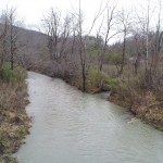
Of these four rivers, the Cumberland is by far the largest, most unique in course, and historically significant. It also has the most physically accessible headwaters areas, though perhaps the most isolated. For these reasons it was my first choice. Like many large rivers, there is some debate to this day what exactly constitutes the Cumberland headwaters. In name the Cumberland begins in Harlan Kentucky, where the Martin’s Fork, Clover Fork, and Poor Fork converge. This spot is quite easily accessible; it literally forms the back boundary of a Dairy Queen parking lot. From a hydrological standpoint, each river contributes about an equal share of water volume, so in effect there really isn’t a single headwaters, not on a human scale anyway – it’s more accurate to say the Cumberland’s source is Harlan County itself.
That all said, the very definition of “headwaters” is the most remote source of a given watercourse, even if insignificant by volume. Since the Poor Fork is the longest contributing stream, that means its source is also that of the Cumberland. All there is to be done is trace the Poor Fork until it’s nothing more than a ditch. To do this I left for Harlan KY on 2011/12/27. Apparently I wasn’t supposed to go. Out of the whole week, I picked the one day with blowing rain, sleet and fog. Then I didn’t even make it out of the house before I took a nail through my foot, but if I let that stop me I wouldn’t deserve to lace up my explorer’s gloves. Anyway, the plan was simple enough. Get to the confluence in Harlan, follow Poor Fork to its source, draw out a mental map, and take lots of pictures or video along the way. Naturally there were distractions, but that’s the point of an exploration trip, yes? These are the results:
Success:
One of two main sources of Poor Fork. Marked by a VW Bug.
Poor Fork’s ultimate source is a slight bowl shaped depression at the top of Pine Mountain along hwy 932 that collects water from numerous gulleys and puddles into two small streams. These streams converge roadside, forming the Poor Fork, which continues for some 30 miles back to the confluence at Harlan. Both streams are on private property. I was unable to get permission to explore the larger one (no one answered), but the other was in a front lawn and easily photographed. I wonder if the owner has any idea that a mud puddle under his VW Bug is the primary water source for a 680+ mile river that discharges over 225,000 gallons of per second at its terminus. I would like to Map the Martin’s Fork and Clover fork as well, but for now, mission accomplished.
Videos
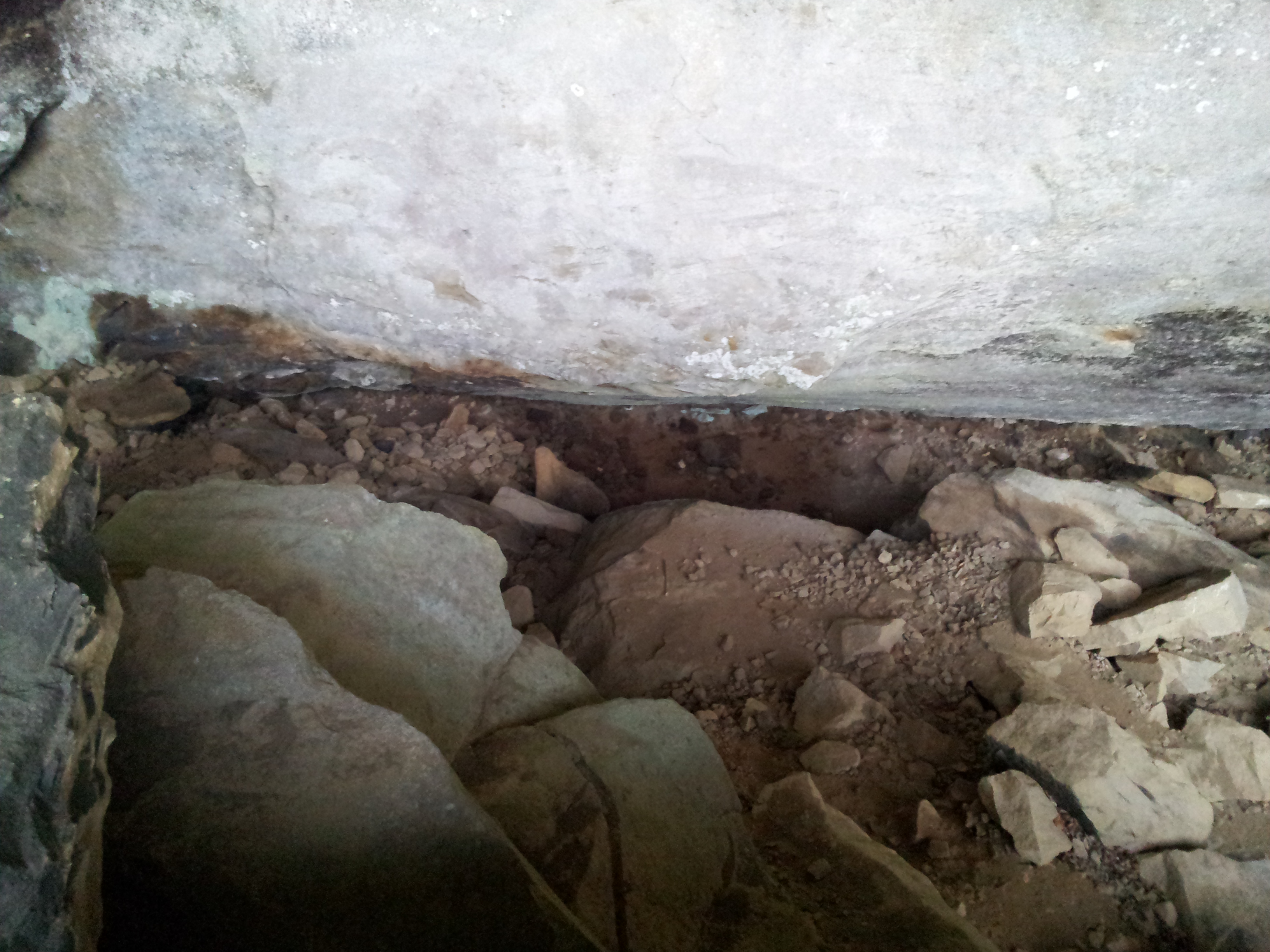
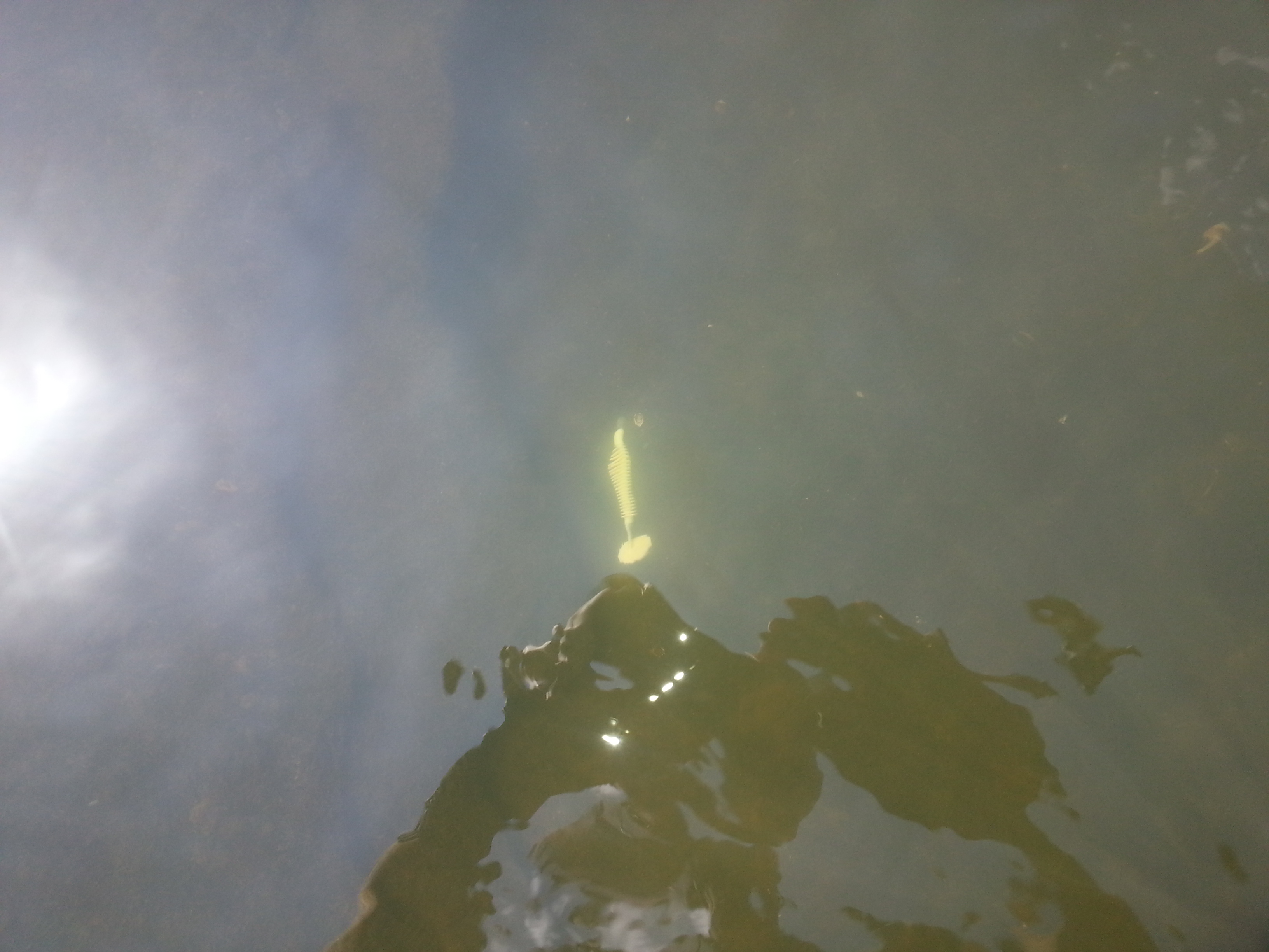
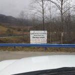
Checking out the culvert where Watts Creek passes under Highway 119 along Seven Sisters Road in Bell County. Nice scenery at the far end. Also saw an interesting little cave, but it was water filled. I’ll have to come back with swimming gear and underwater lights to have a better look. Part of a personal project to survey the headwaters of Cumberland River.
Accidentally left the camera on while scouting this boat ramp access path along the Cumberland River. Figured what the heck and tossed it up.
Scouting for a picture, this where Clover, Martin’s and Poor Fork converge to form the Cumberland.
Old Slate was a road side park park located in Bath County; it’s one of the many places my grandfather would take me as part of trying to instill a sense of curiosity and adventure. Unfortunately the park is a now shadow of its former self, clearly abandoned to the elements and teenage revelers.
The furnace itself is now a graffiti muse, and all that remains of a once well kept playground/park area are some rotting picnic tables. Even so the sense of antiquity and isolation is still there, in some strange way perhaps more so. Only an occasionally passing car and soft rippling from nearby Slate Creek break the silence, both oblivious to this small piece of history they continually witness.
So close, yet so far away. Isn't there a song about that?
When it comes to local hydrology, I find the Licking River to be the most interesting water way by far. The reasons why are varied, and are really left to a topic of their own. Apparently though, the Licking doesn’t share the same interest in me. Seems that recently, each time I paddle it, I get the short stick one way or another:
Unexpected flooding at Blue Licks pushed me back before I could reach my goal, and nearly capsized my yak with no skirt, flotation vest or gear.
Leg brace broke and twisted my foot inside the kayak while in an area with no portage and a section of water you couldn’t pay me to swim in. It was nearly three hours before I could get out and unbind myself. That was a year ago and my left foot has yet to fully recover.
A navigation error left me dragging the yak several miles back up stream through the shallows near Falmouth. Granted it was my own stupidity, but I’ve never made a mistake like that before or since.
It not just paddling either. I’ve had to winch myself out of mires, lost gear, and more often then not came away with minor but stupid injuries. No other area has given me so much trouble exploring.
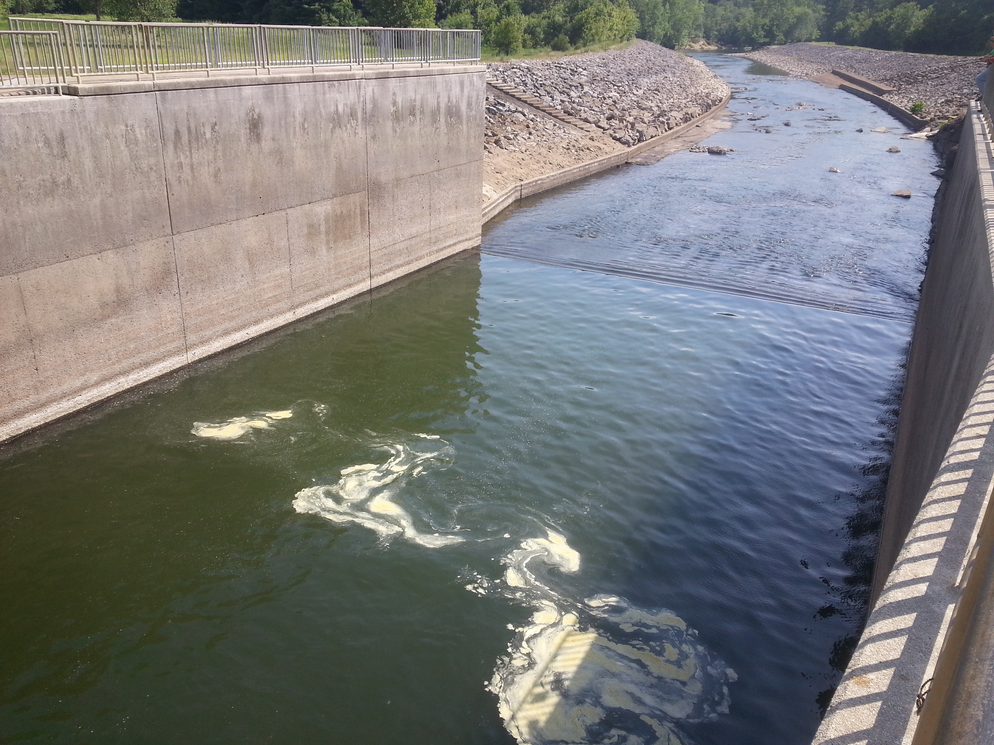
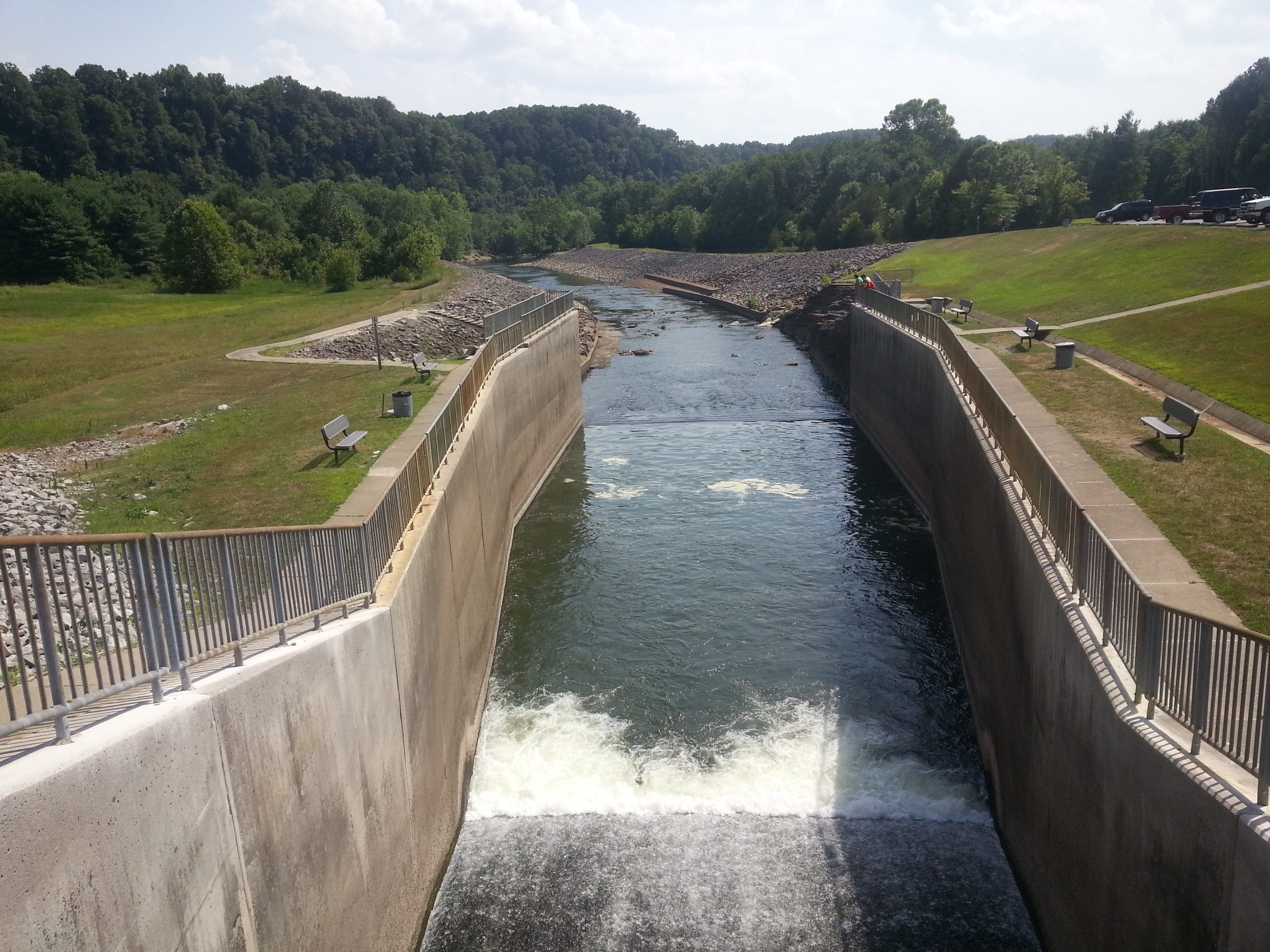
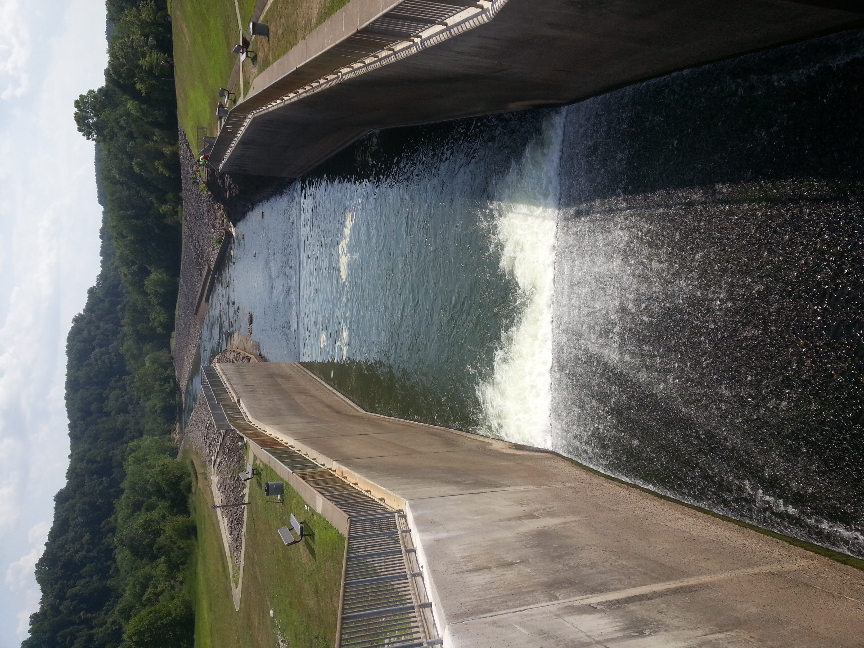
Then there was Saturday 20110604. After attending a wedding and helping with some photos I decided to take advantage of already being in Morehead to get some footage of the Cave Run Spillway. Currently the Corps of Engineers are releasing 5000cfs; pretty close to the river’s natural avg. discharge. A normal release this time of year is around 100. The resulting torrent of water makes a spectacular sight from the banks yes, but how awesome would it be to get some close up shots from head on?
Naturally the Licking was not interested in cooperating, but instead of sending me limping away with some physical calamity it went with a new method: Humiliation. A small crowd gathered while I made my attempts failures, several of them wielding cameras. No doubt to them I looked like some helpless fish on a hook. Meh, it’s all good. 🙂
The current being too strong to take head to head is a given, that I already knew. What I was hoping for would be to find some eddies or a steady wave train to surf my way up. No such luck. The spillway walls are too smooth to produce any good eddies; I had a bit more luck with the waves, but ultimately they were too erratic. A better paddler might have gotten in, but it was just too much for my skill. I’ll just have to work on my efficiency, maybe get a paddle with a bigger dig, and try again.
2011_05_21 – As any fellow outdoors enthusiast (or whatever you call people like us) can attest, pretty much all of the more physical skills involved are perishable. Paddling is no exception. I’ve been out once this season to check out Cave Run, but I still needed to get my sea legs back for moving water.
That’s where the Elkhorn comes in. At normal level it’s mostly I-II with some class III here and there; not exactly the pinnacle of whitewater action, but that’s a good thing for refresher training. Plus the scenery is something one could never get tired of. So I made plans to head in around 14:00 or so and take a 12 mile run. That was the plan at least. But this is me I’m talking about, and in typical late for my own funeral fashion, I wound up at the put in right at 18:00. Obviously the latter half was going to going to be in dark, but I don’t mind that at all.
What I didn’t plan on was the nasty thunderstorm that blew in right on top me at dusk. Between down pouring and mist my lights were useless and visibility 0; nothing like paddling blind against the wind with lightning strikes all around. Since the camera couldn’t see any better then I could, about 1/3 of the recordings are scrap and by the time I made take out it was almost 23:00. I’m not complaining though, quite the opposite in fact; what’s the point of an Adventure category without a little adventure? Besides, I still got some nice footage beforehand of the palisades and river area in general.
A few days ago I overheard some individuals in my department talking about Cave Run Lake; being from Morehead this naturally caught my attention and I had to inquire what the fuss was about. Turns out the lake was at or near its highest level ever since being constructed. Yeah, kind of a “DUH” moment considering all the regional flooding. After all that is precisely why the lake was built in the first place.
Doesn’t it figure though; monitor river conditions all over the country and completely miss a historical hydrology event in your own home town. Obviously I need to get back more; I literally can’t remember the last time I was in town, much less visited the lake.
Given my typical interest in hydrology and general exploration, I just had to have a look for myself. It figures, most of the trip wound up brining back old memories. One of the main reasons I tend to avoid Morehead is the nostalgia it triggers. A stupid reason I know, but there it is. Seems Cave Run is no exception. But I’ll get to that some other time.
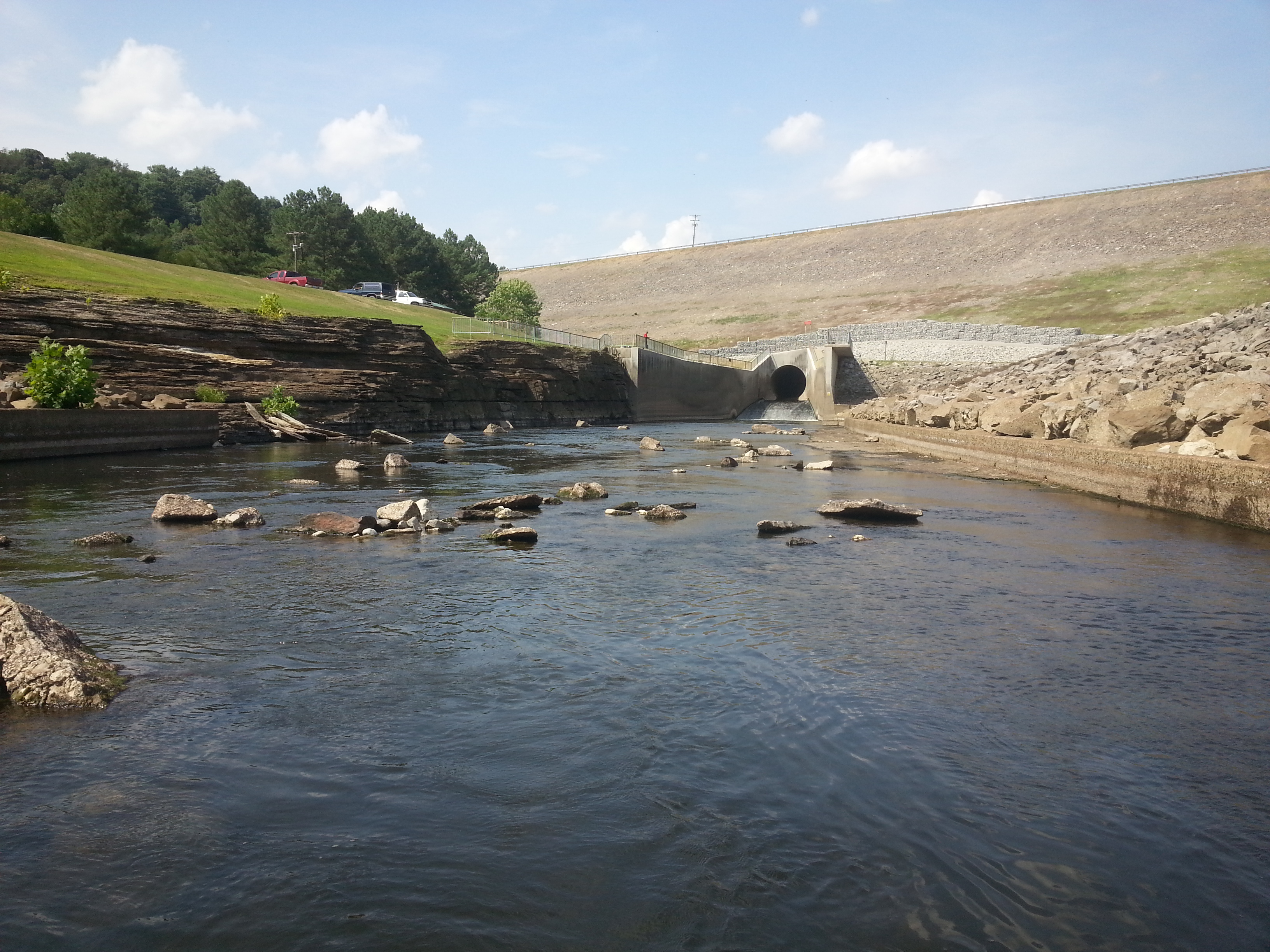
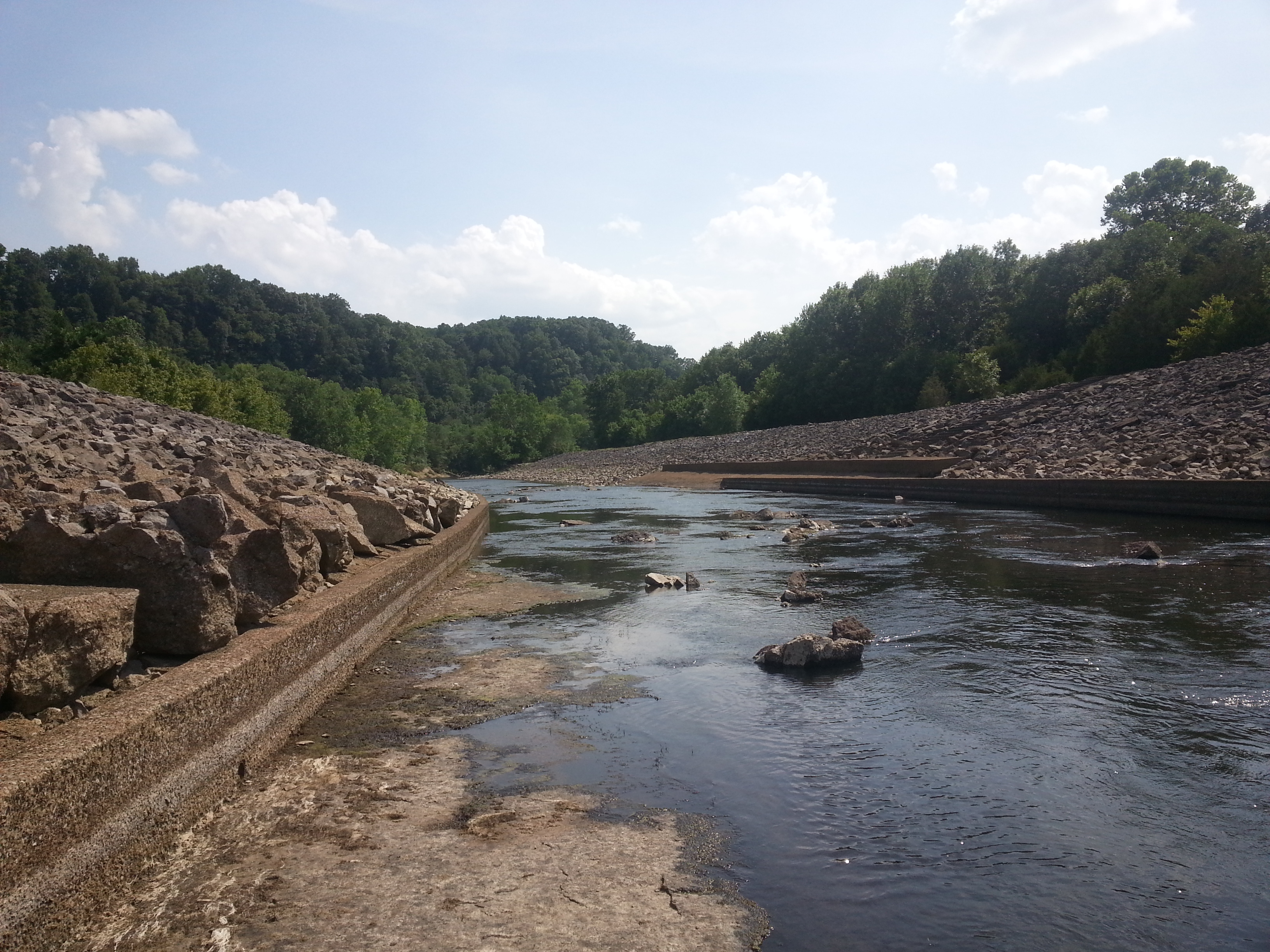
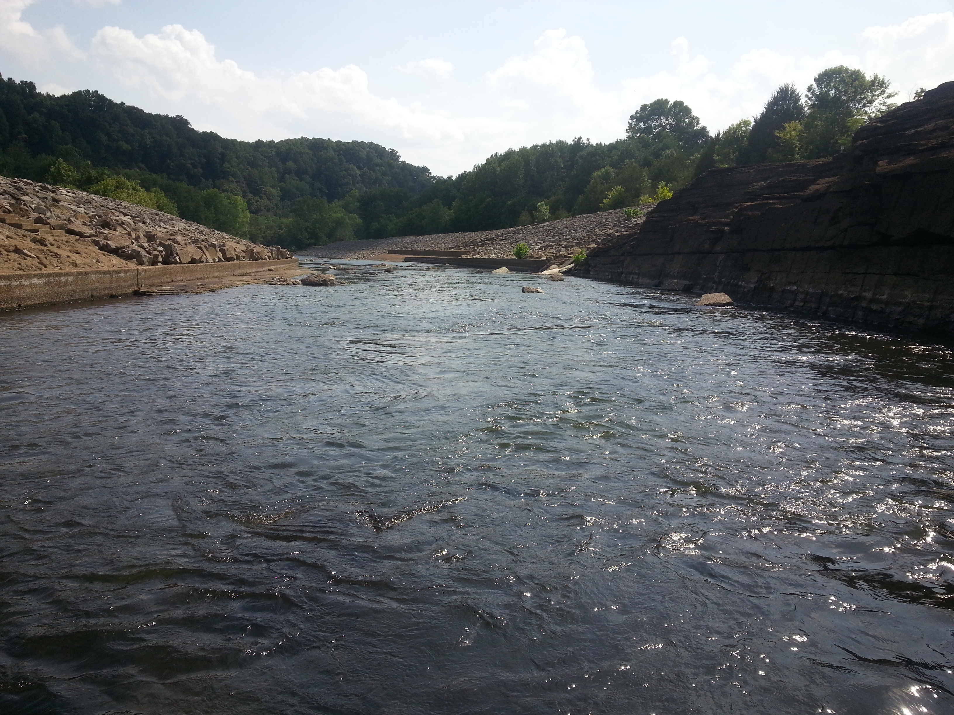
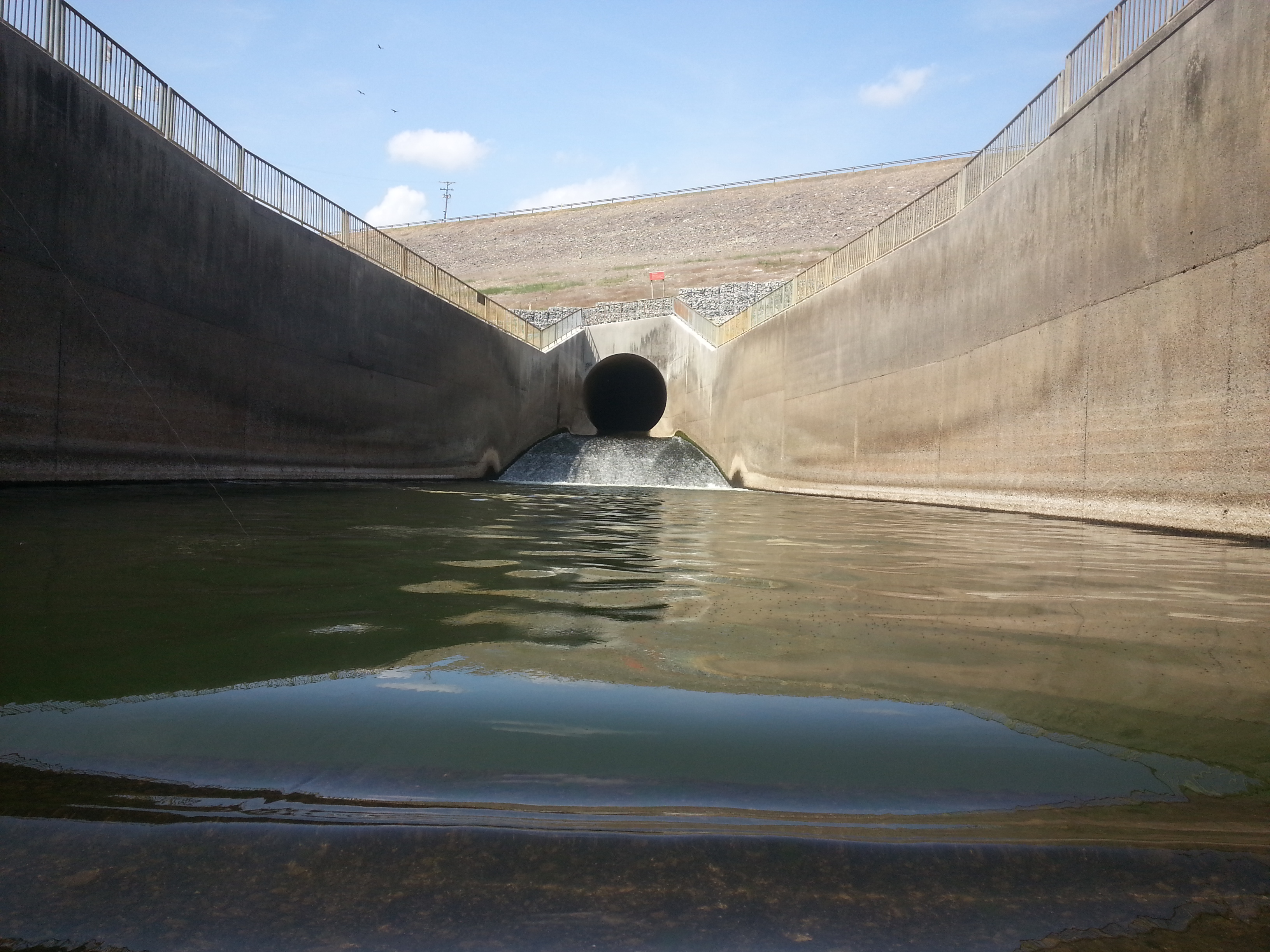
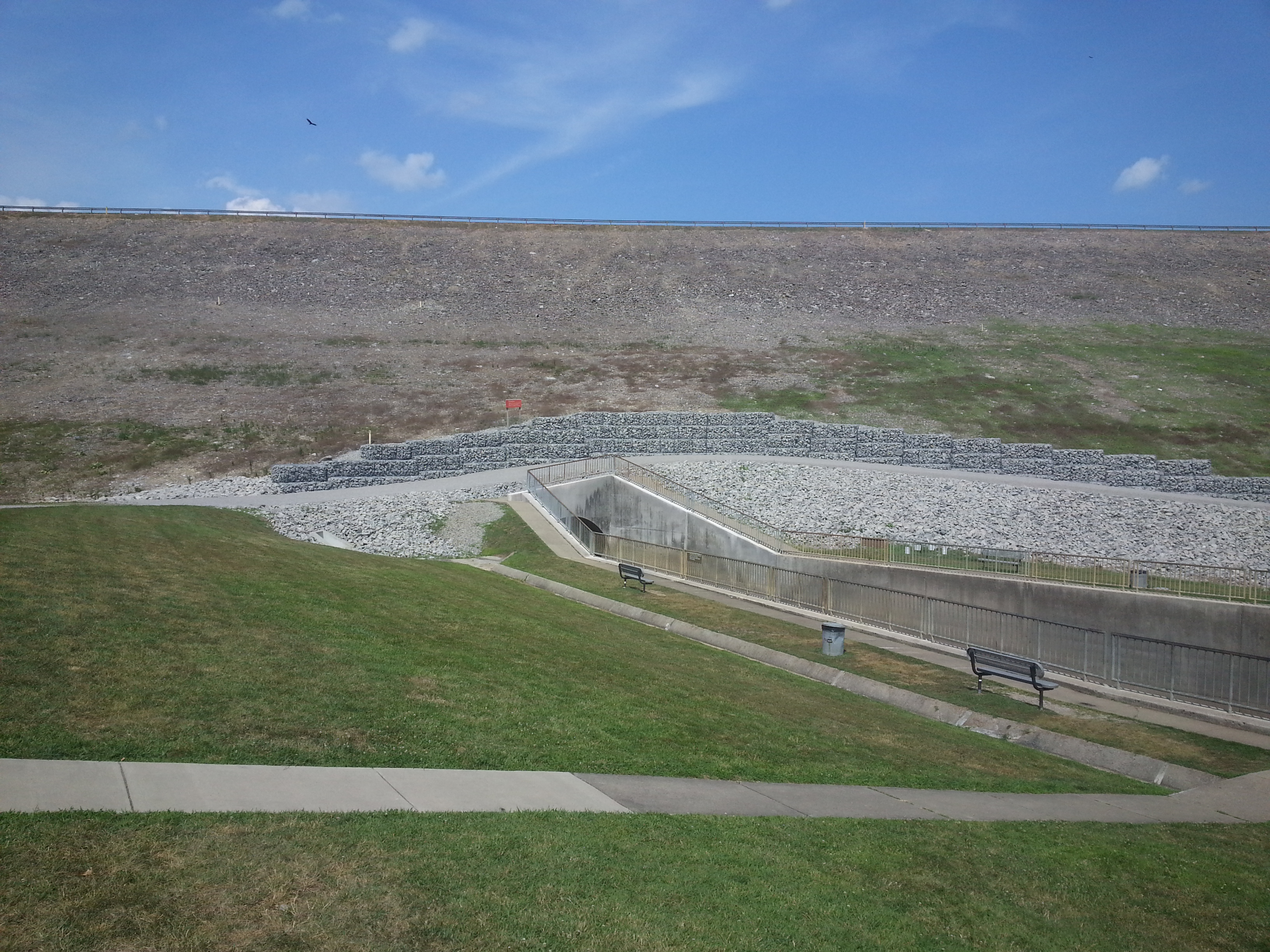
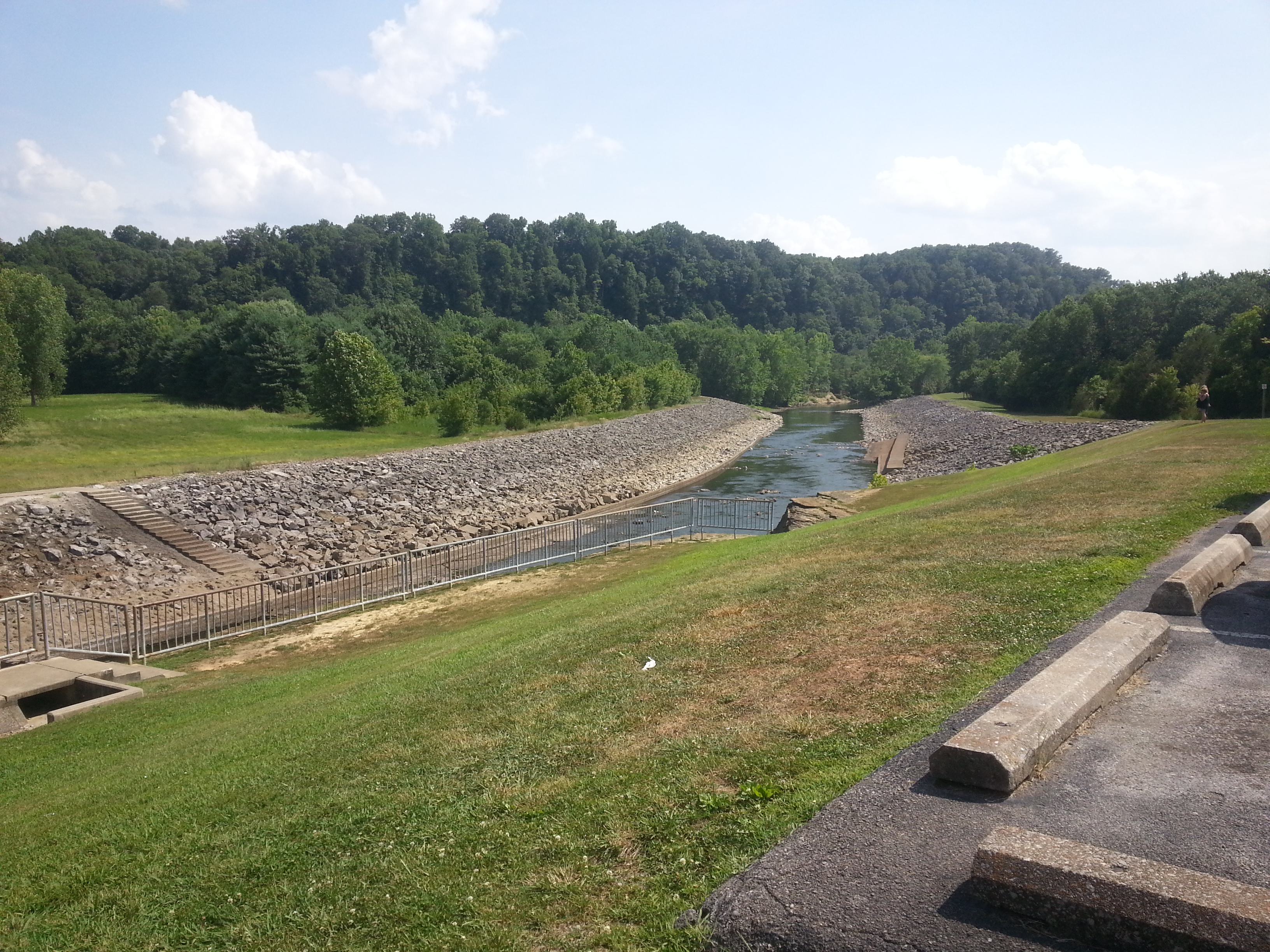
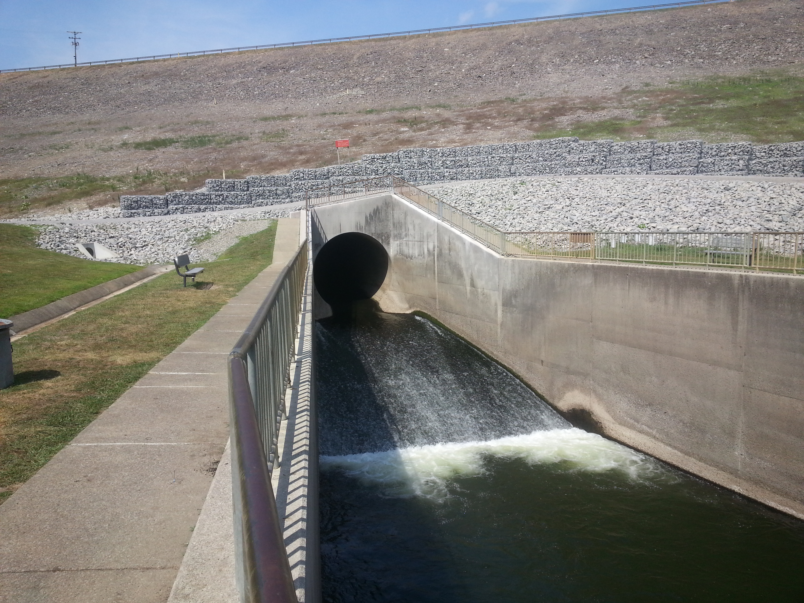
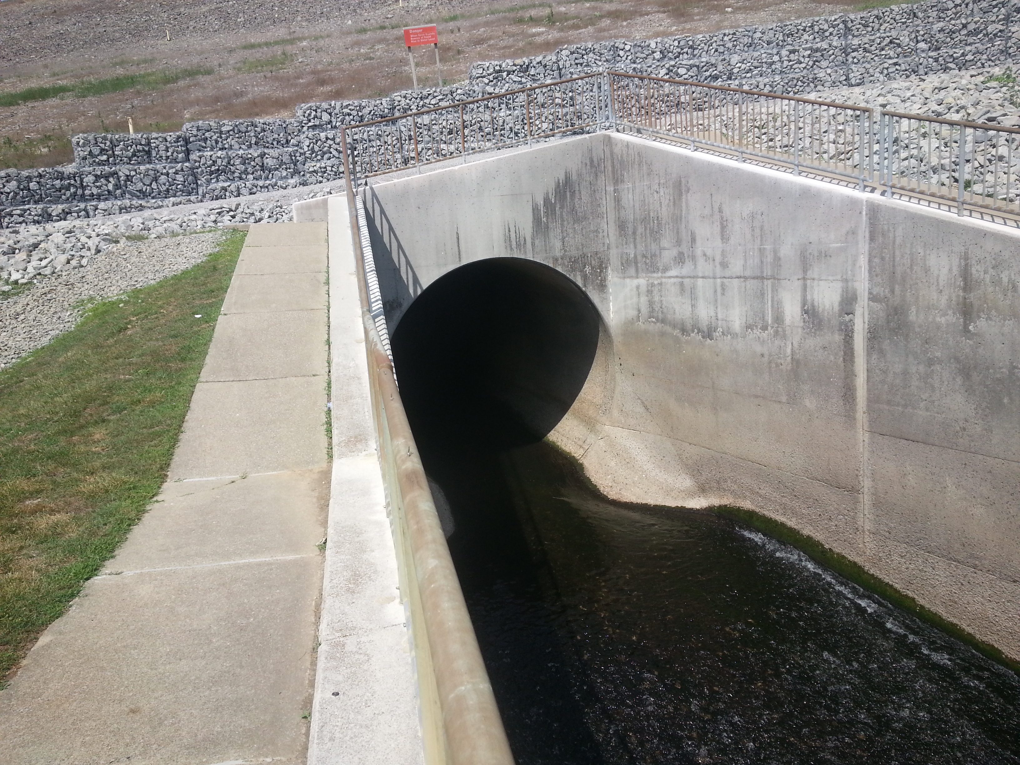
I started from Stony Cove Recreation area, which, as some of you may or may not know, is actually Cave Run’s emergency spillway. To protect the structure from over topping, water can never reach higher then then the big “Flood Pool” sign. Instead, it would flow right over Stony Cove’s parking lot, pass through a cutout around the dam, and eventually return to the Licking River downstream. As far as I can tell that never happened, but if not it sure came close. When I arrived the level had already receded quite a bit, and yet was still only about 15′ short of maximum.
After circling the dam area, I moved on to Scott Creek Marina. The parking lot, normally on a high bluff, is now partially submerged. A makeshift ferry service is now the only way to reach the marina, and I’m told that it will be well into July before their bridge is above water.
Next was the Lakeside Vista look out. Like the marina parking, it is normally a bluff overlooking the lake. Now water sits just shy of the parking blocks.
Afterward I had planned to survey the Blackwater Area, but water there is so high I would have needed to park and paddle over private property. So instead I put in at Poppin Rock. There again was an amazing sight.The parking lot and service buildings were all submerged and ramp dock is now an island. But by By far what really put things in perspective was the “Morgan County” bridge. As you can see here, at normal water levels this structure normally towers over the lake. Jumping from it is a local challenge for anyone brave or stupid enough (myself included), and many have been injured or killed in the attempt. As you can see in the picture gallery, this summer it won’t be much of a challenge at all. I had to press myself flat just to pass through the piers.
By this time the sun was going down, and I wanted to get some area wide shots before it got too dark for my Hero Cam. What better place to do that then Lockegee Rock? It’s been years since I last climbed up there, but nothing has changed. The view is still amazing, and graffiti still annoying. Good with the bad I guess.
The gallery below was taken with my Hero Cam on auto shoot (i.e. a picture taken every 5 seconds). As a result, most shots will be throwaway. For simplicity sake, I just threw them all up, and perhaps there is something in there others can enjoy. As always, on to the next adventure…
Some video I took of the various local flooding. More to come as I get it all spliced and downsized for uploading.
Let’s start with Houston Creek in southern Bourbon County. I wonder if the play through rule still applies on this golf course?
Now to the North End, at the confluence of Big Stoner and Houston Creek. This video is split with footage taken 2011_04_29 to provide a reference point. You’ll notice at point the spot I was at would have been under 15′ of water. The property owners tell me they have only seen it that high on one other occasion.
Some of my footage was taken from the close by north Paris CSX Railroad trestle passing over US68 and the Big Stoner/Houston Creek confluence. The flood footage I got from it wasn’t really worth uploading, but I decided to climb back on anyway to get some establishing shots of the area. Wouldn’t you know, a little more then halfway over I get caught by a high speed freight train. Nothing to do but continue on to the far side and let it pass. Guess that distant whistle wasn’t in my imagination after all, heh.
This is only a portion of the footage I took, but the majority is just more of the same, so it’s time to move onto the next adventure. Until then…
It’s about time I posted something here besides work notes, so how about a little Winter levity?
After several attempts this season, we finally managed to get an evening trip to Perfect North Slopes going. As usual, it was a blast, and made a great test for my new Hero Cam. I’m hoping to go back soon with a larger group. We usually try to leave right out of the office on a Friday after some snowfall. I have room for five in my Tahoe, so if you want to join in or meet up, give me a shout!
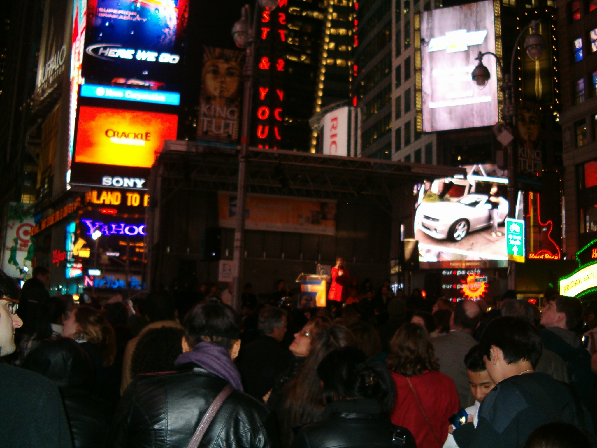
It’s now around 18:00, and as I begin to write a bit on a trip to New York I find myself waxing nostalgic. It seems riding home window side in this darkened and rather confined vehicle is somehow reminding me of the various speech trips from back in high school. I’d guess that throwing out my usually wistful nature; the main reason is I’ve almost always traveled by my own means, no matter the distance. So it is that letting someone else do the driving is odd enough to evoke a memory or two.
Of course, there are a few differences between now and then. First, this vehicle is traveling about 400 knots per hour at 30,000’ on its way to Detroit rather than rumbling down a Kentucky highway. Second, I’m in cargo pants sporting a 5’Oclock shadow and my Frog Togs outdoor sports jacket… a pretty far cry from those double breasted suits form back in the day. Oh how sad it is that I wish those things were still in style. Perhaps most obviously, and thankfully, I don’t have a pining crush on anyone riding with me. Hah! Oh, and there wasn’t this nifty laptop to disgorge my superfluous streams of consciousness on, so there’s that too. Funny though, one thing still the same is that irritating strobe light flashing outside the window, but meh, what’re you goanna do?
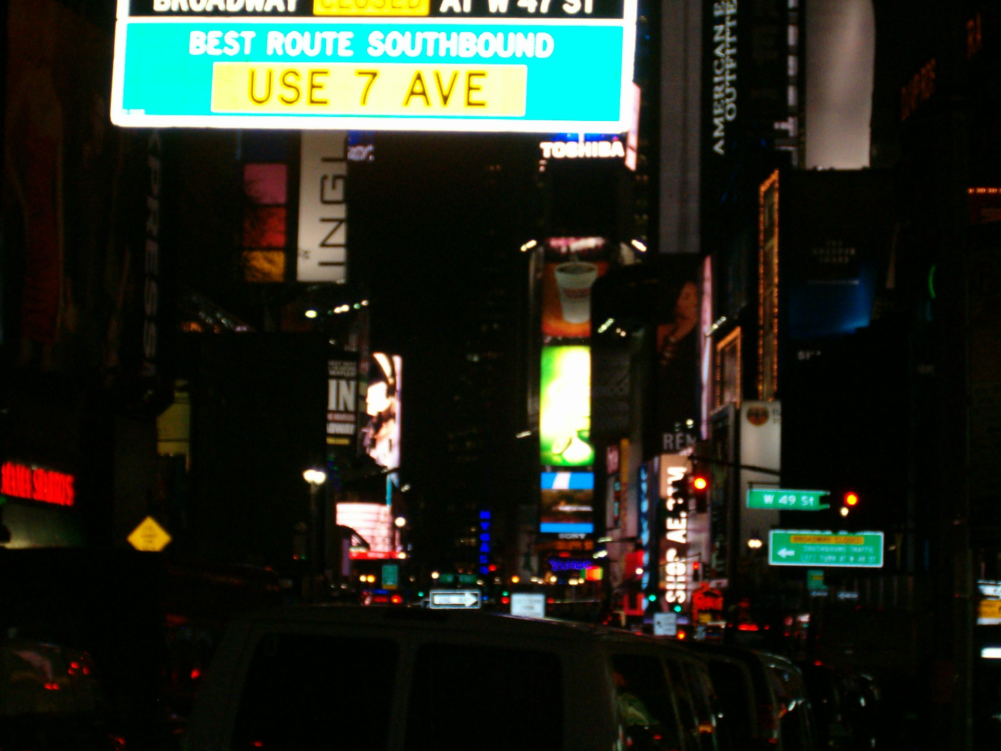
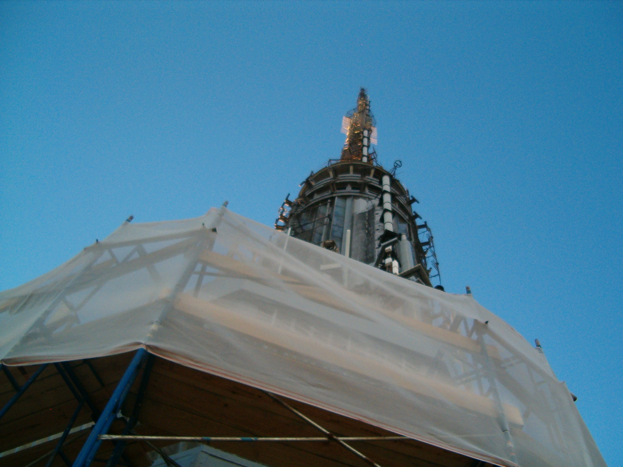
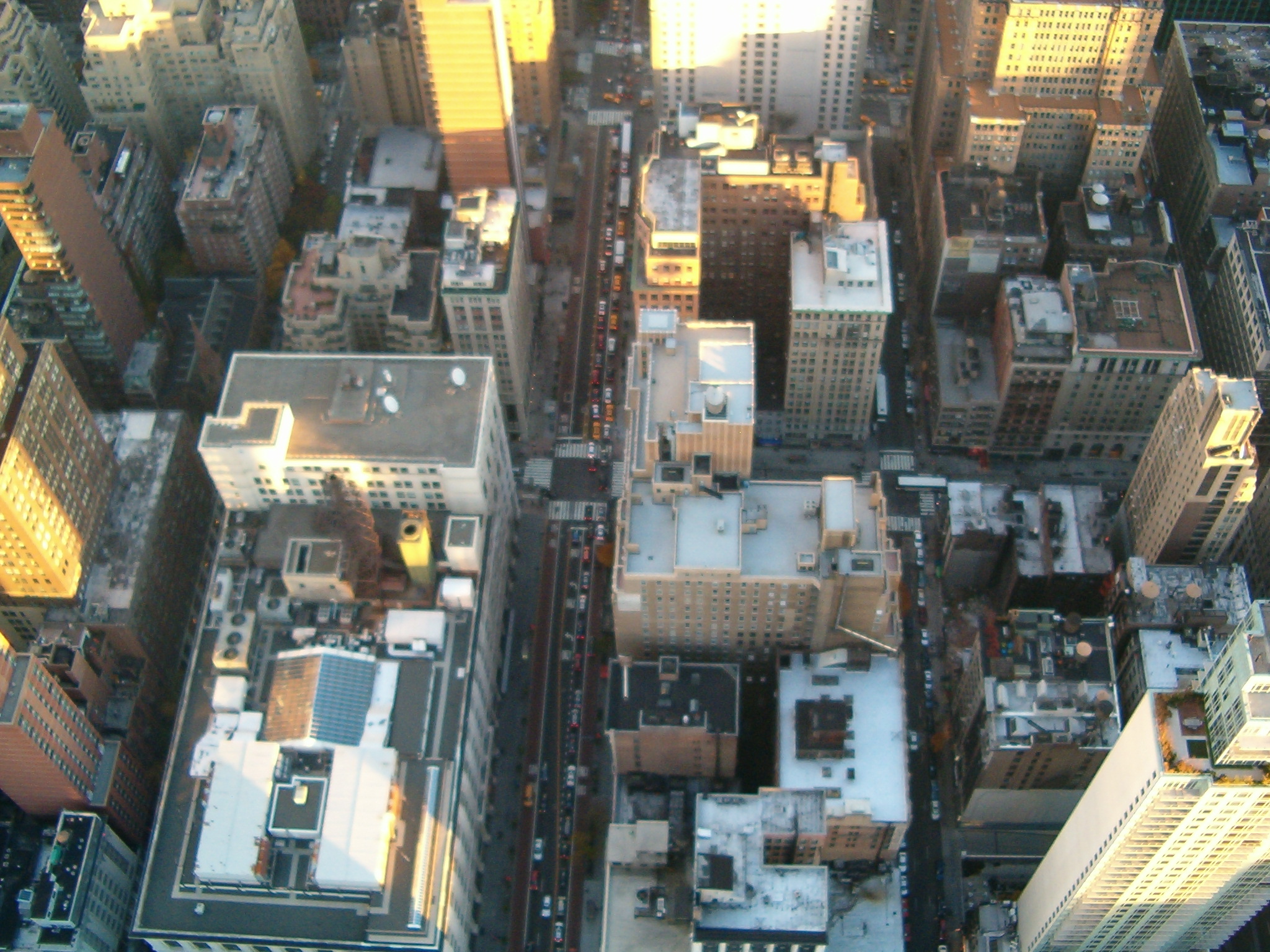
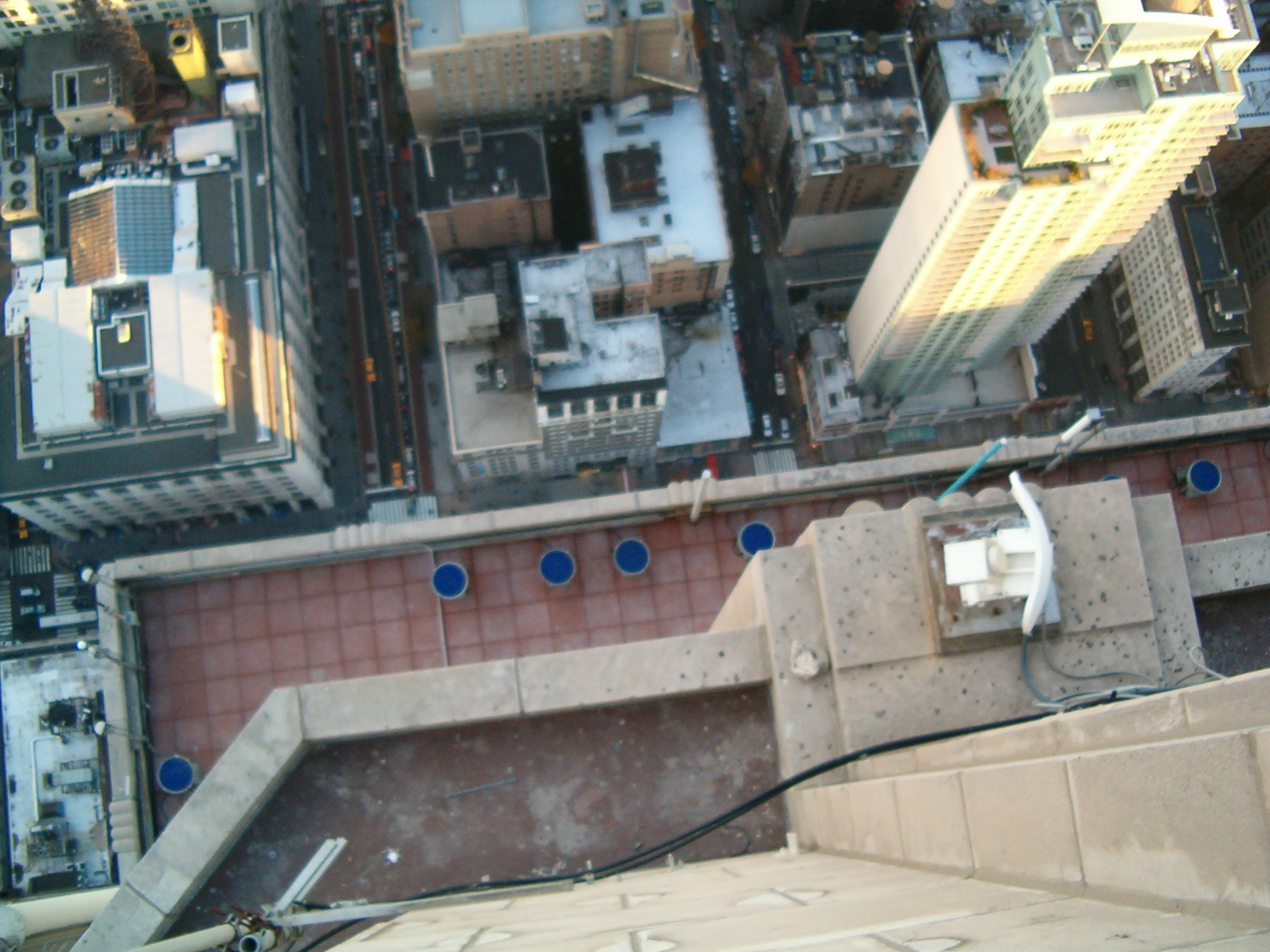
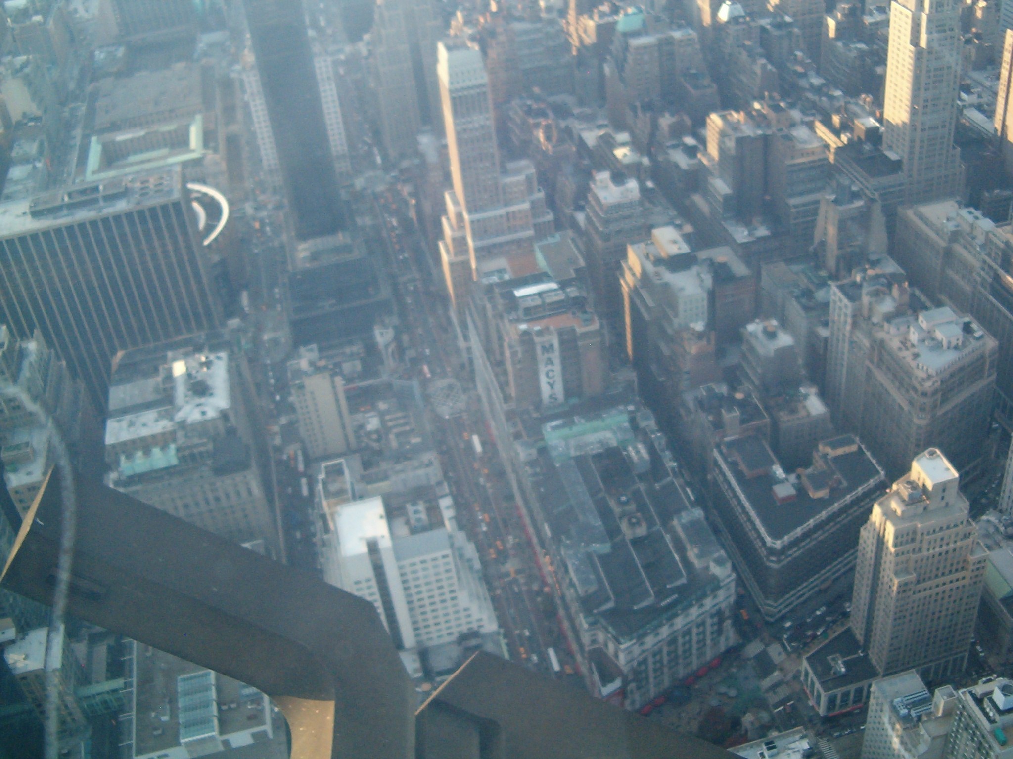
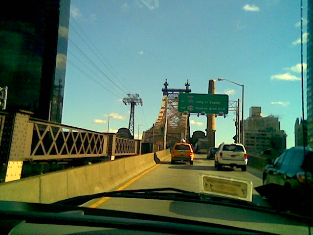
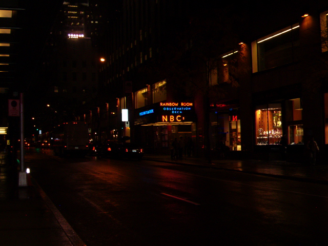
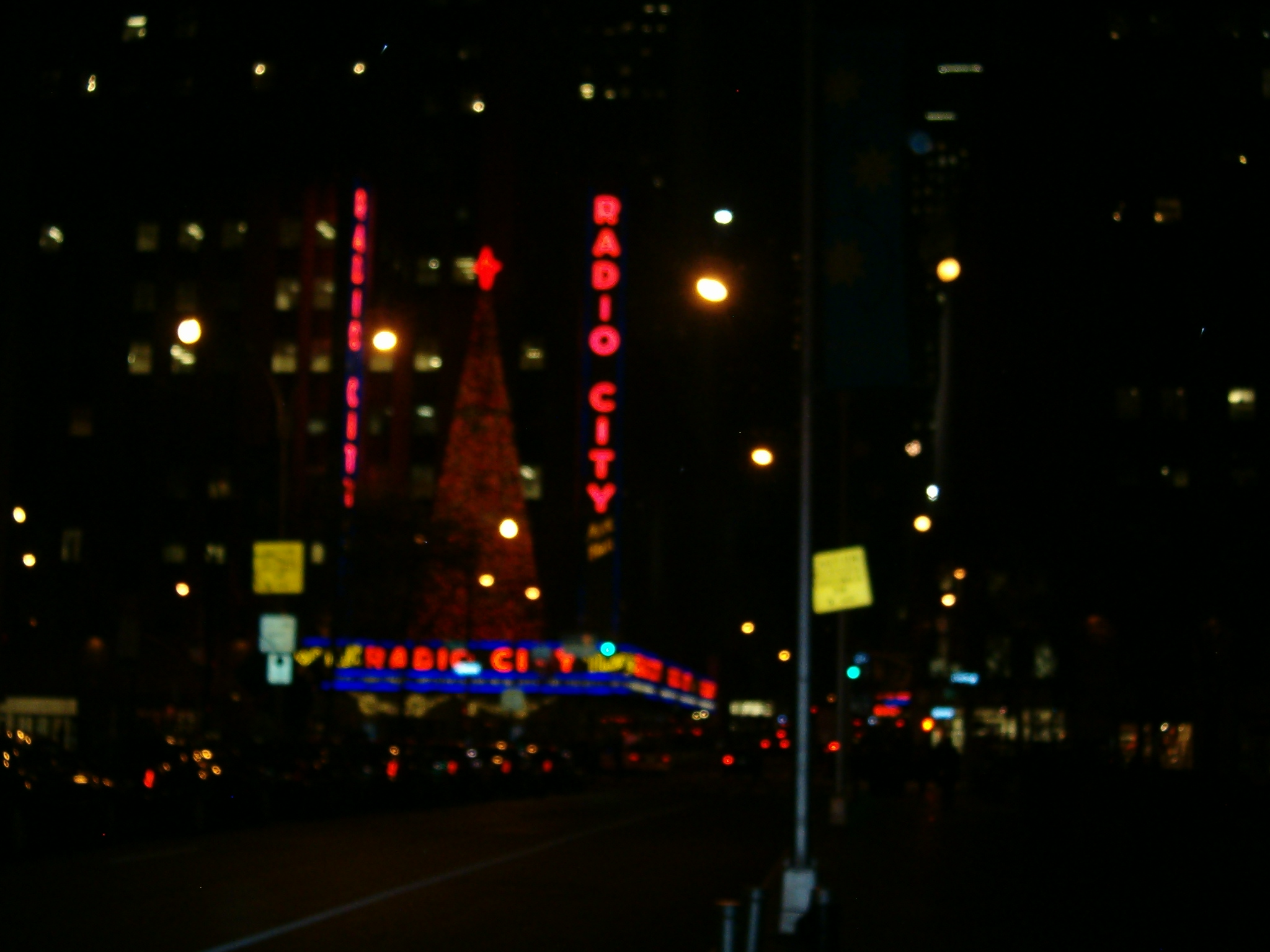
Anyway, the trip itself was a lot of fun; I’ve been fortunate enough to see a good portion of the world, but this was my first time in New York. It was for business of course, and I didn’t have much time to do the tourist bit, but I still managed to check out a couple of things. I was staying just about a block from Times Square, so of course that had to be visited, along with the Empire State Building. My daily walk also took me right by Radio City and Rockefeller Square. I knew seeing the Statue of Liberty wasn’t going to happen, but I hoped to check out Brooklyn Bridge and visit Ground Zero. Sadly, those weren’t in the cards. I did get see some very interesting neighborhoods though, owing to my habit of foot bound exploration and general random wandering. Given that my worrisome family might read this, I’ll have to squelch the details. Let’s just say I ran into some colorful characters and leave it at that.
Overall I’d have to say New York isn’t a place I’d want to live; it’s much too confining. But for a visit you can certainly do worse. I had a choice between it and Miami, and for me there wasn’t even a contrast. No I’m not crazy; I just don’t care for the heat like others do. Maybe I’ll do Miami next year.
The conference (Future of Web Design) itself was somewhat educational, though I’d be lying if I didn’t say at least half of it was useless drivel. The session on “unleashing creativity” was particularly irrelevant. But the rest more than made up for it, especially the various workshops on how to implement HTML5 features with legacy browsers. I’m kind of surprised I didn’t see any other UK denizens there. It was defiantly something I’d recommend to anyone else in the business all around. I understand the next one is in London this March and I’m already looking at going.
Here are a few pictures I took during my wanderings. I admit the quality sucks; I think my old beater of a camera has followed me through one too many walks in the woods. Still, New York is New York, even through the eyes of early adoption digital technology. Enjoy. Or not.
Maybe I’ll see you next year in Miami, whoever “you” are. Or perhaps we’ll meet at merry old London in the spring. Cheerio!
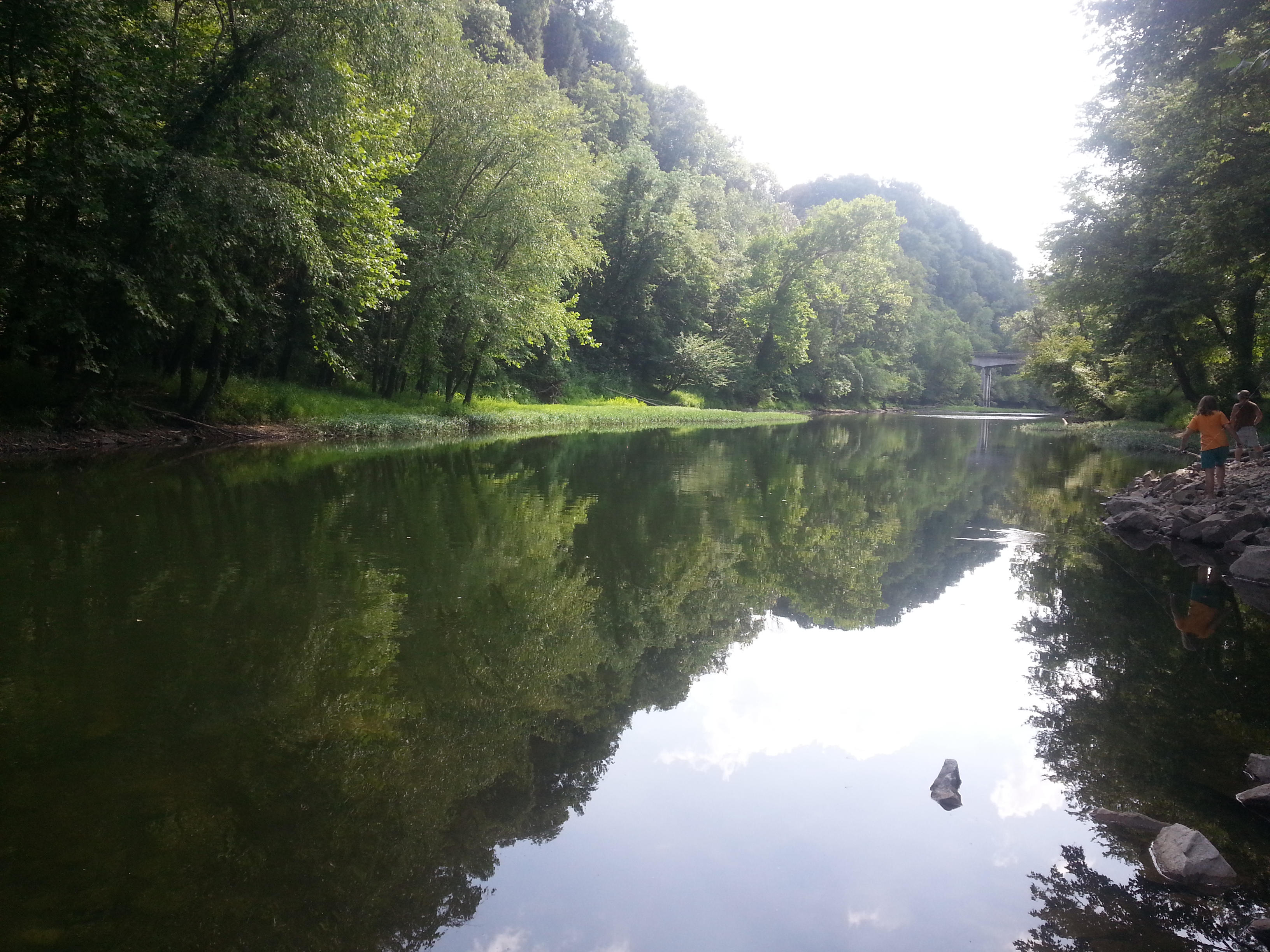
I am planning an excursion to run the Middle and Lower Licking river from Morehead to Cincinnati/Newport. While I am preparing and expecting to do so alone, I’d be happy to have some company!
Starting point will be the boat ramp at Cave Run Dam spillway. Endpoint is Schmidt Boat Ramp, located river right approximately 1 mile upstream on the Ohio from Licking River confluence. Travel time will be approximately 5-6 days with a planned stopover at Blue Licks and resupply at Falmouth. Other possible portages are being researched. The Licking River is a class I difficulty river, with occasional swift current and strainers but little to no white water. Of greater concern will be portage and supplies as most of the river flows through private farms.
If interested, please leave a comment on this post and the your best possible times. Plan is for September, but can be pushed as far as mid October if needed. Cincinnati ramps close on November 1. Further details will be added here as they become available.
Busted feet aside, the night time run I took for July 4th was actually more fun then I expected. There is just something very serene about being on the water at night.
Owing to that, I thought heading back to the hometown for some night paddling on Cave Run would be even better. No city lights and no dodging barges. Typical though, the feeler I sent on Facebook to gather some people to join me got utterly ignored. Even the CRACK club didn’t take any interest.
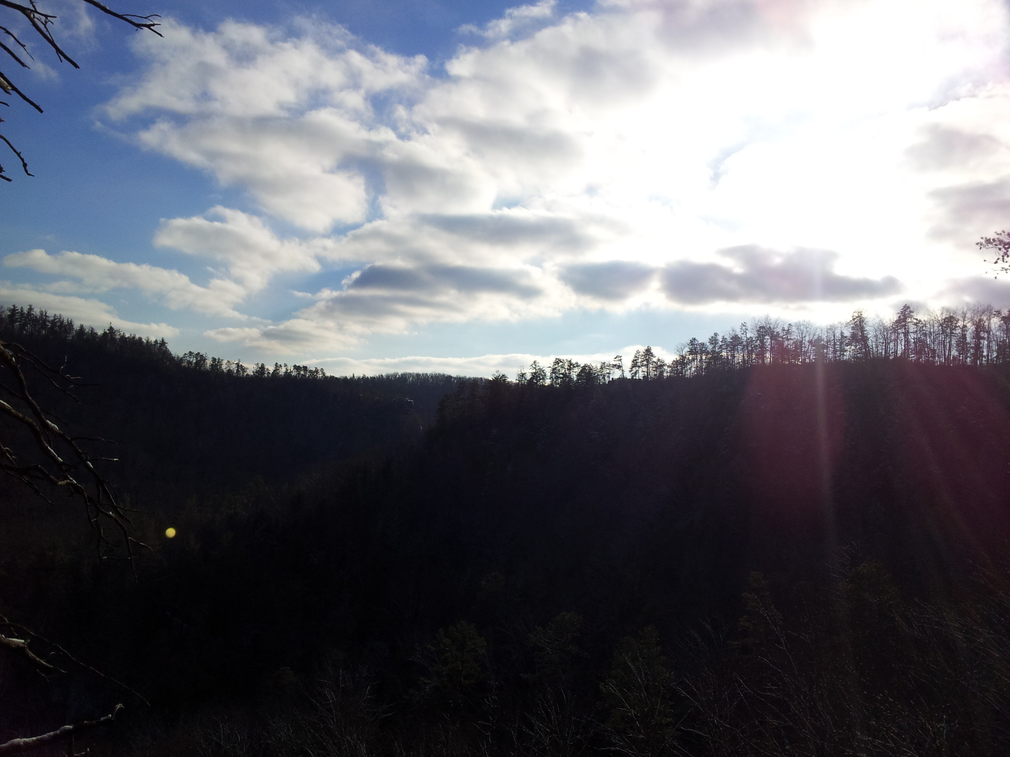
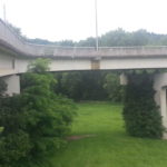
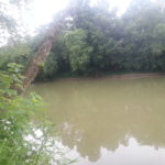
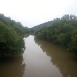
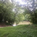
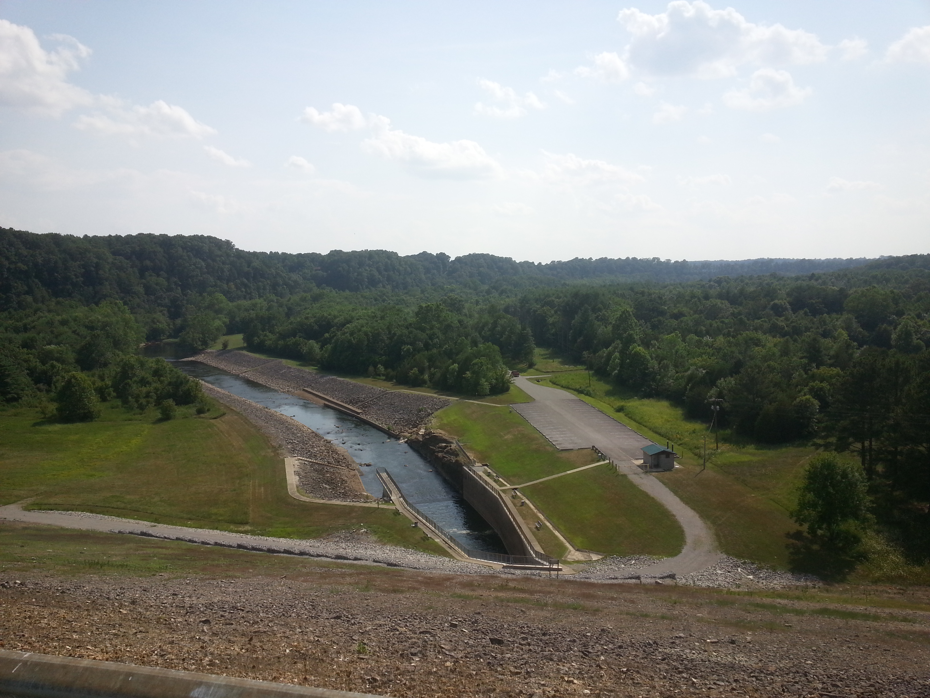
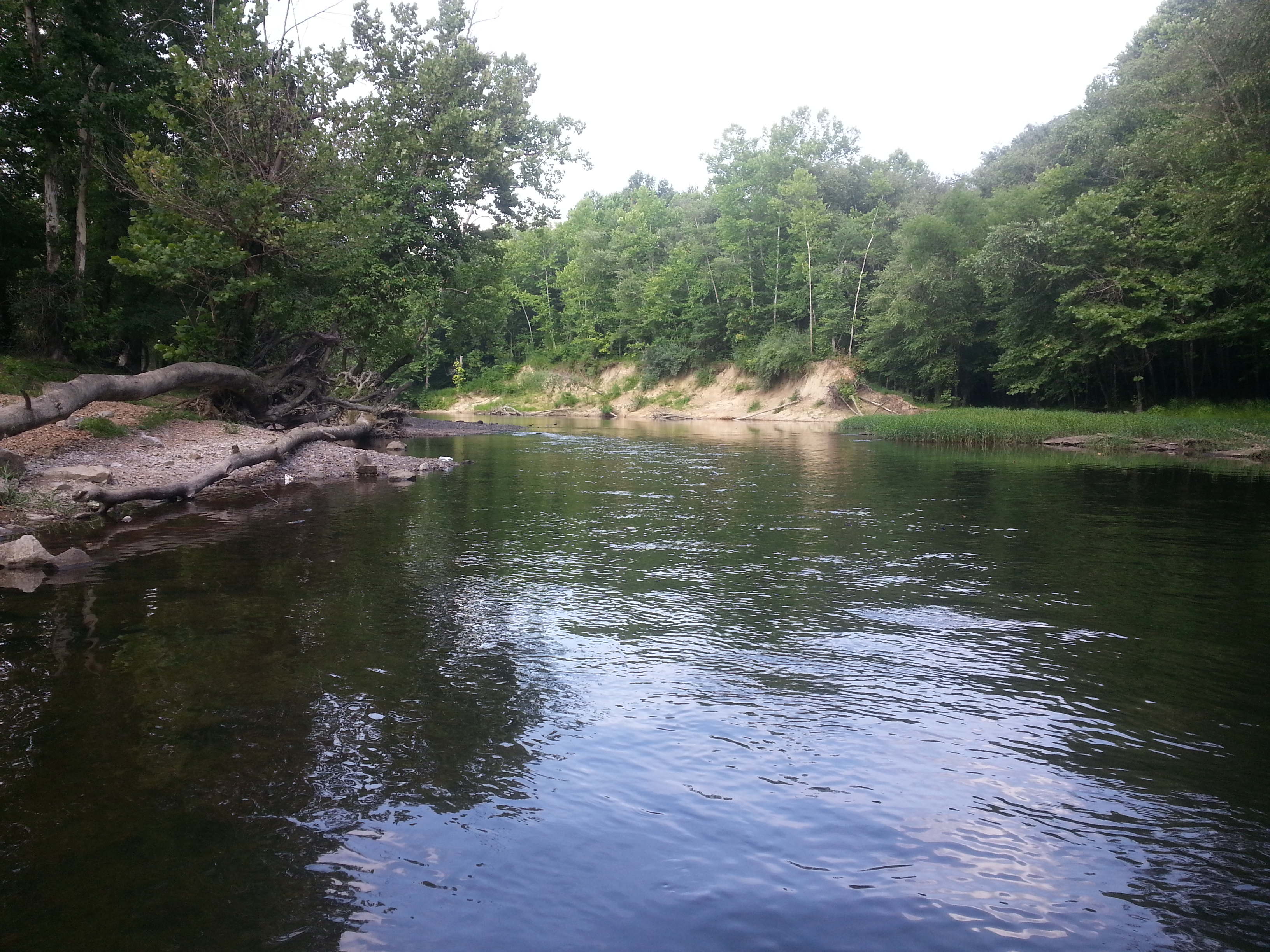
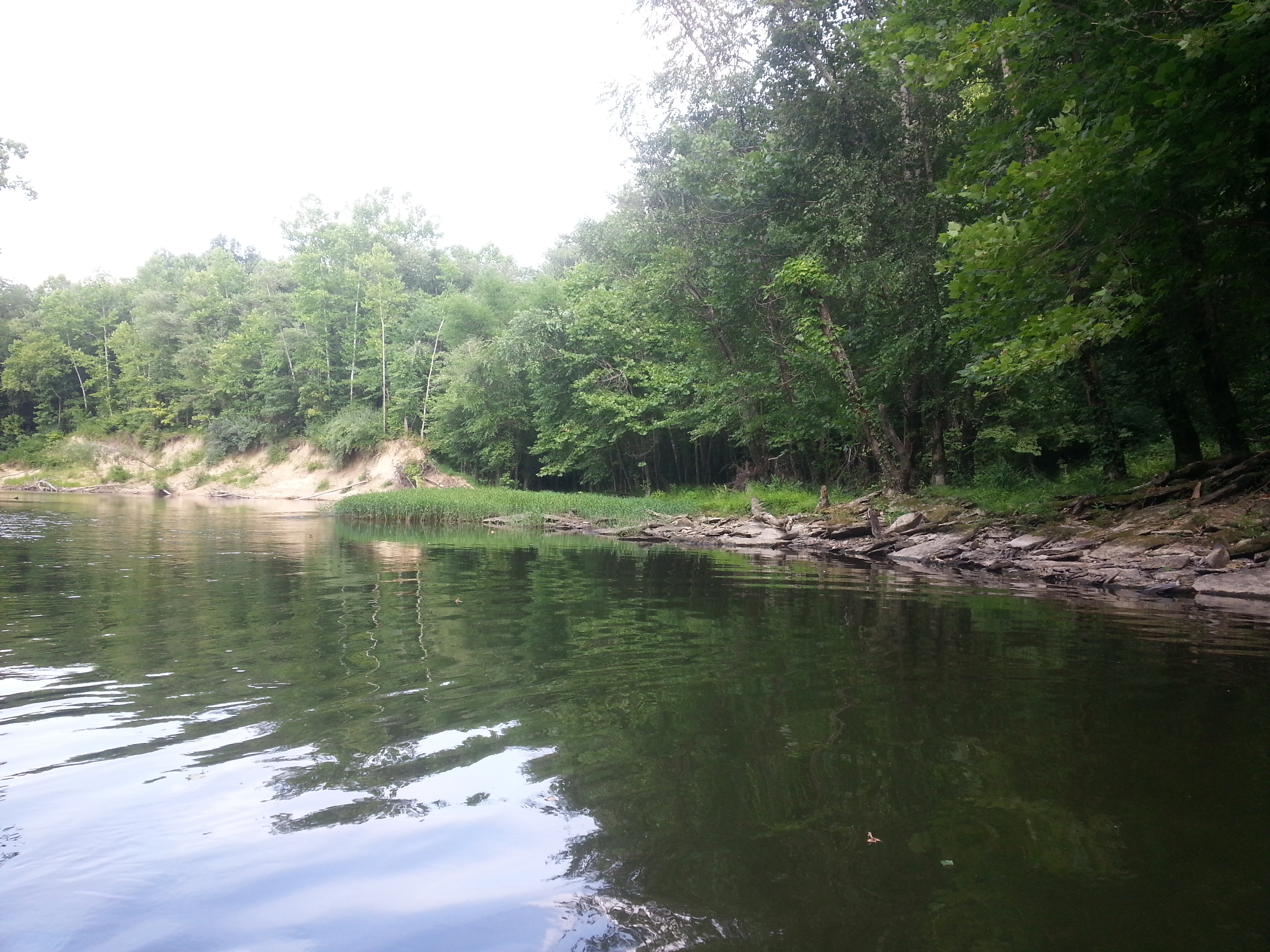
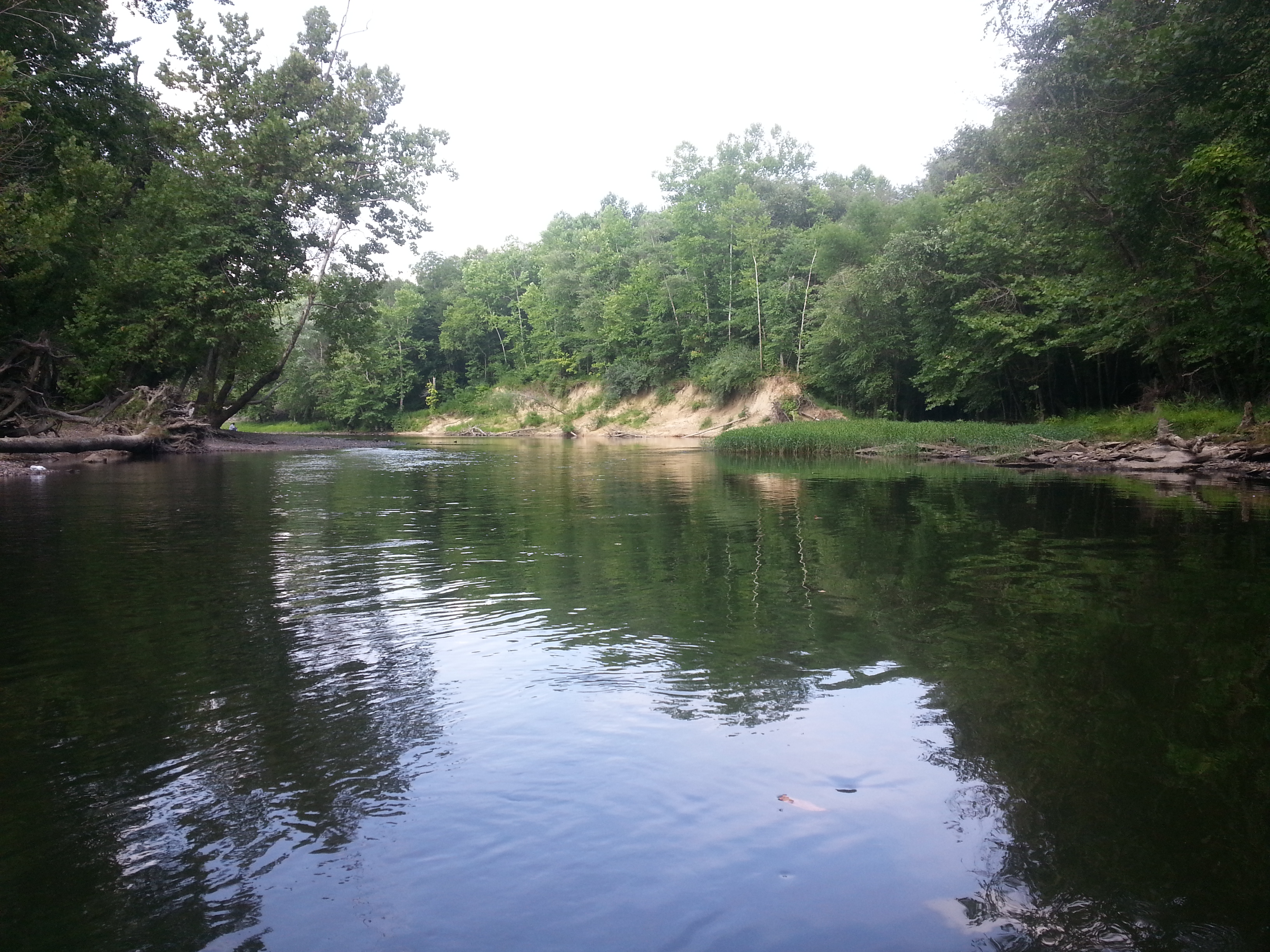
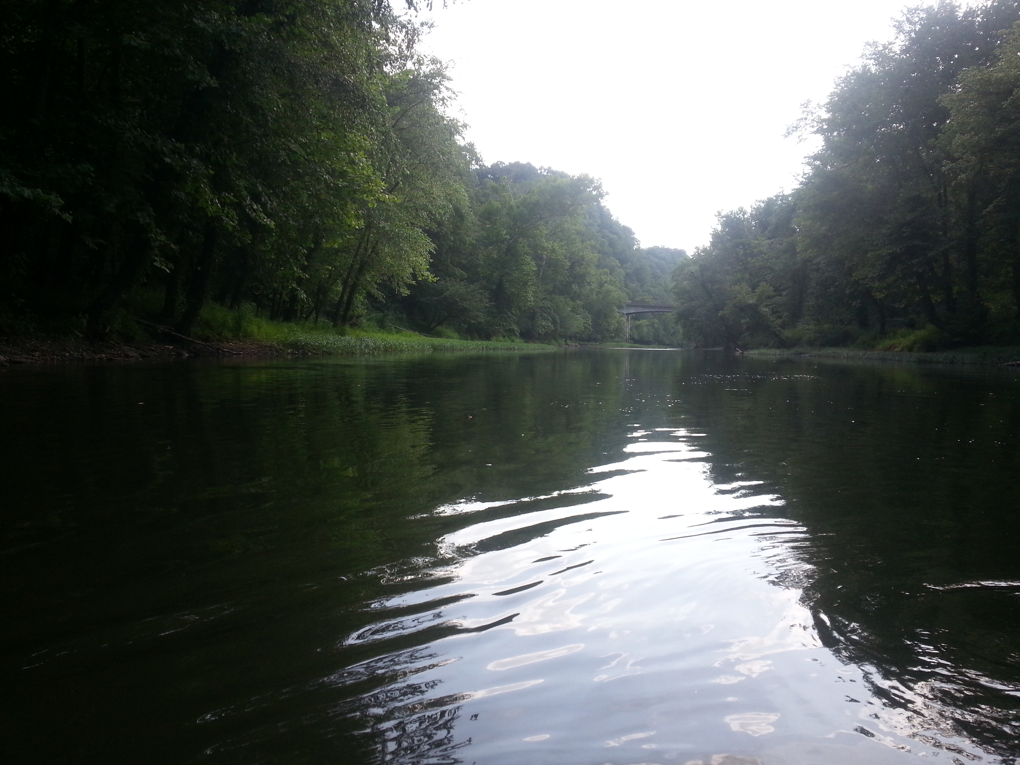
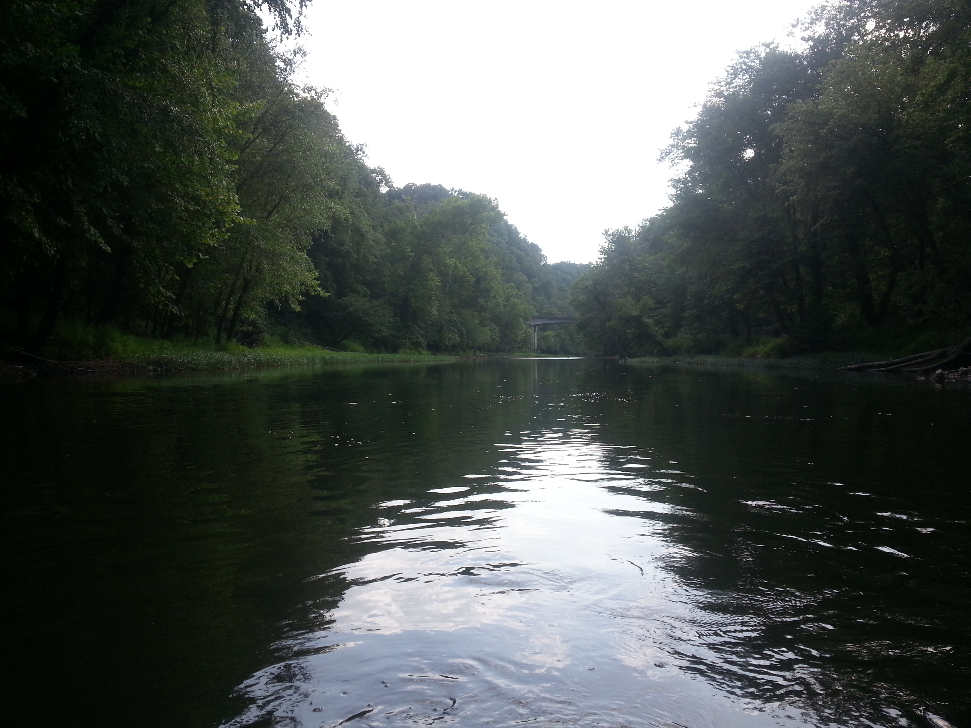
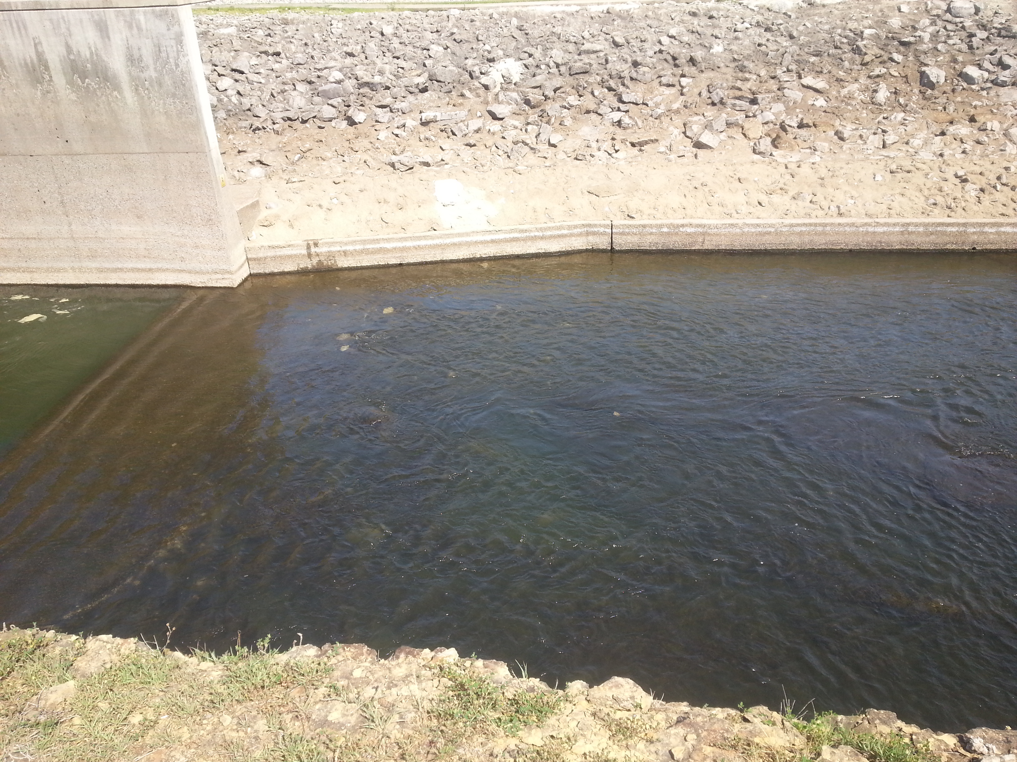
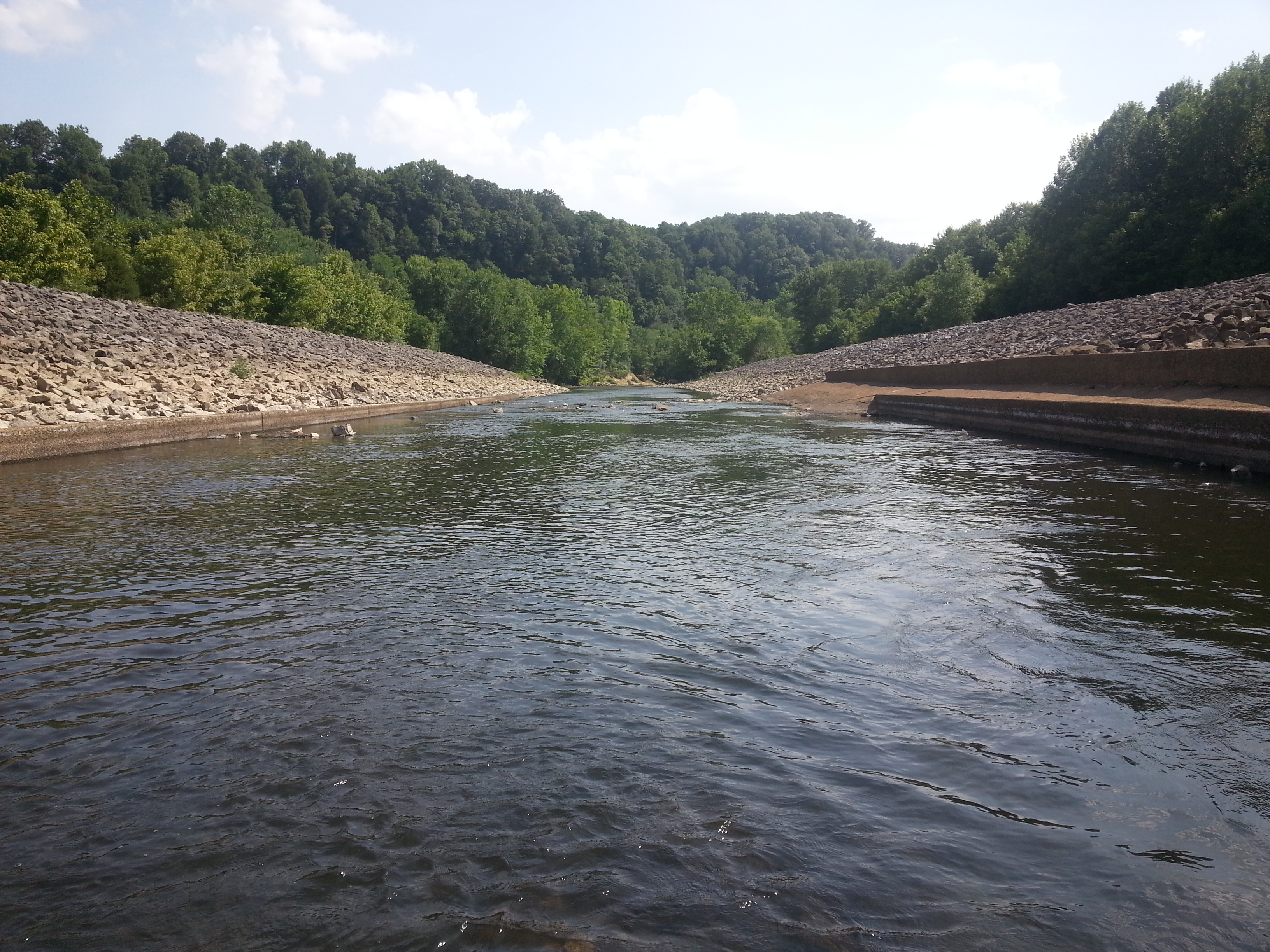
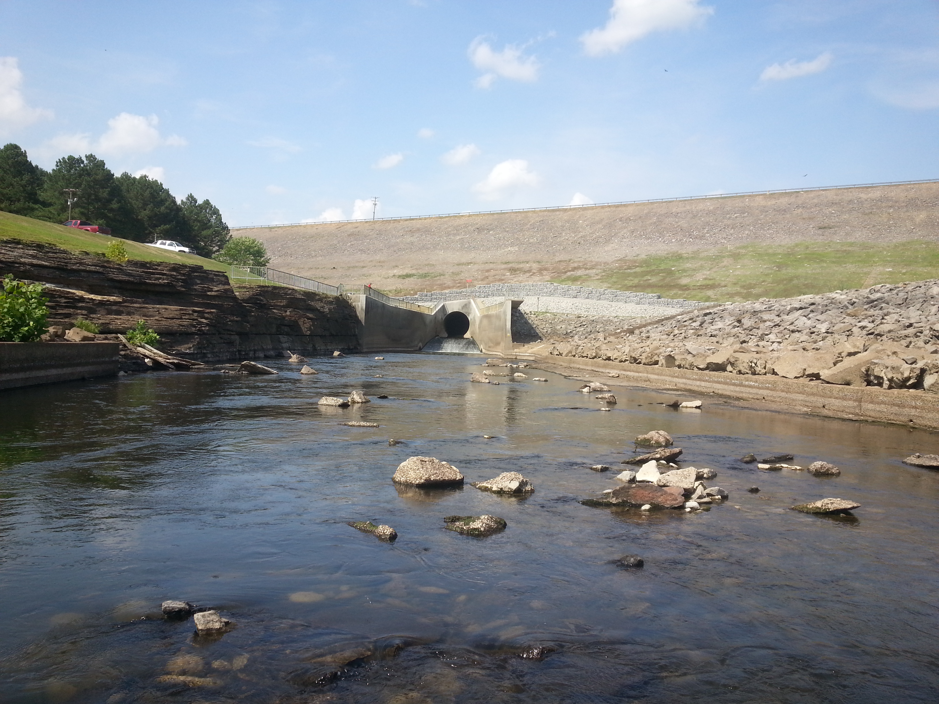
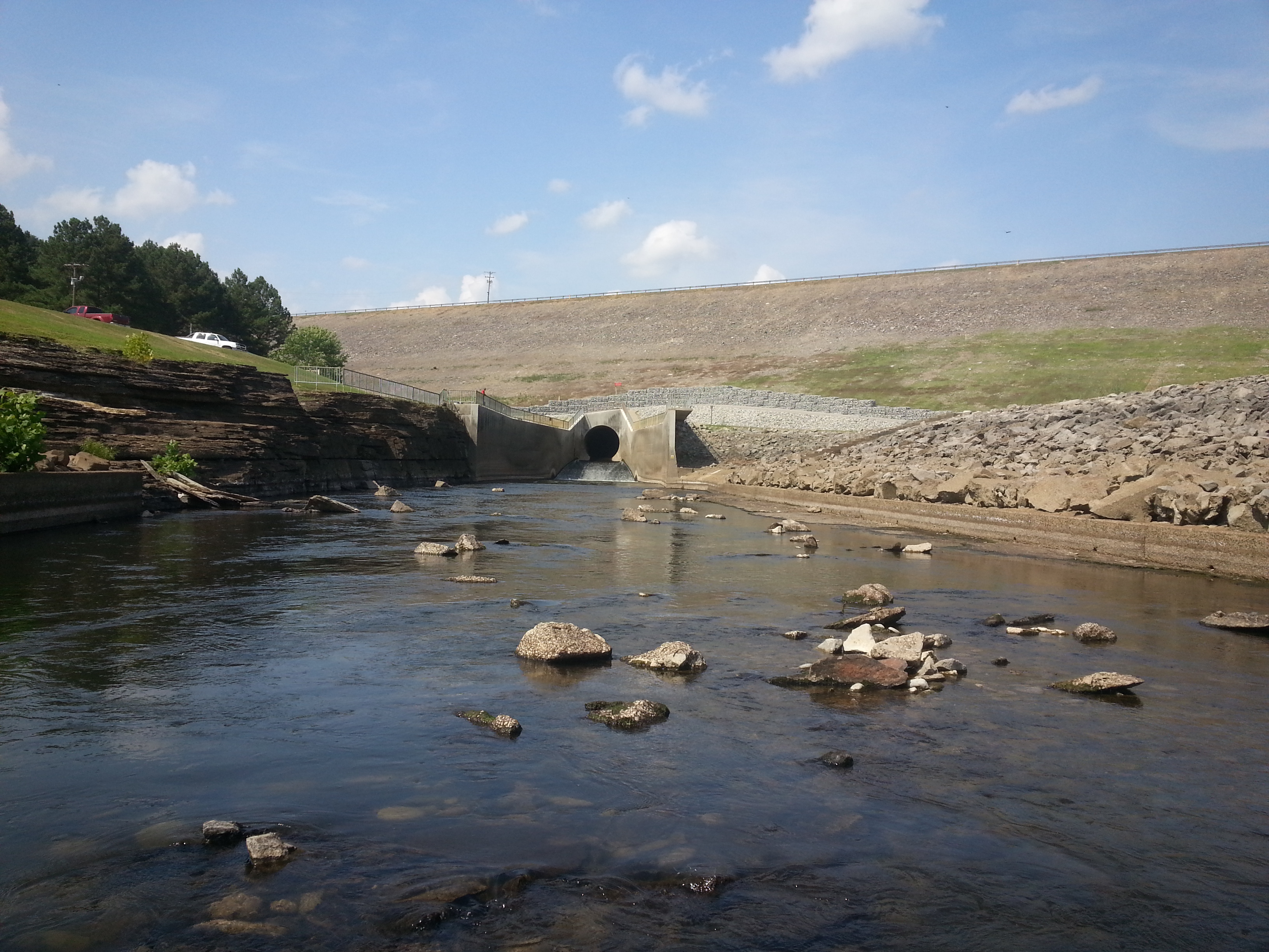
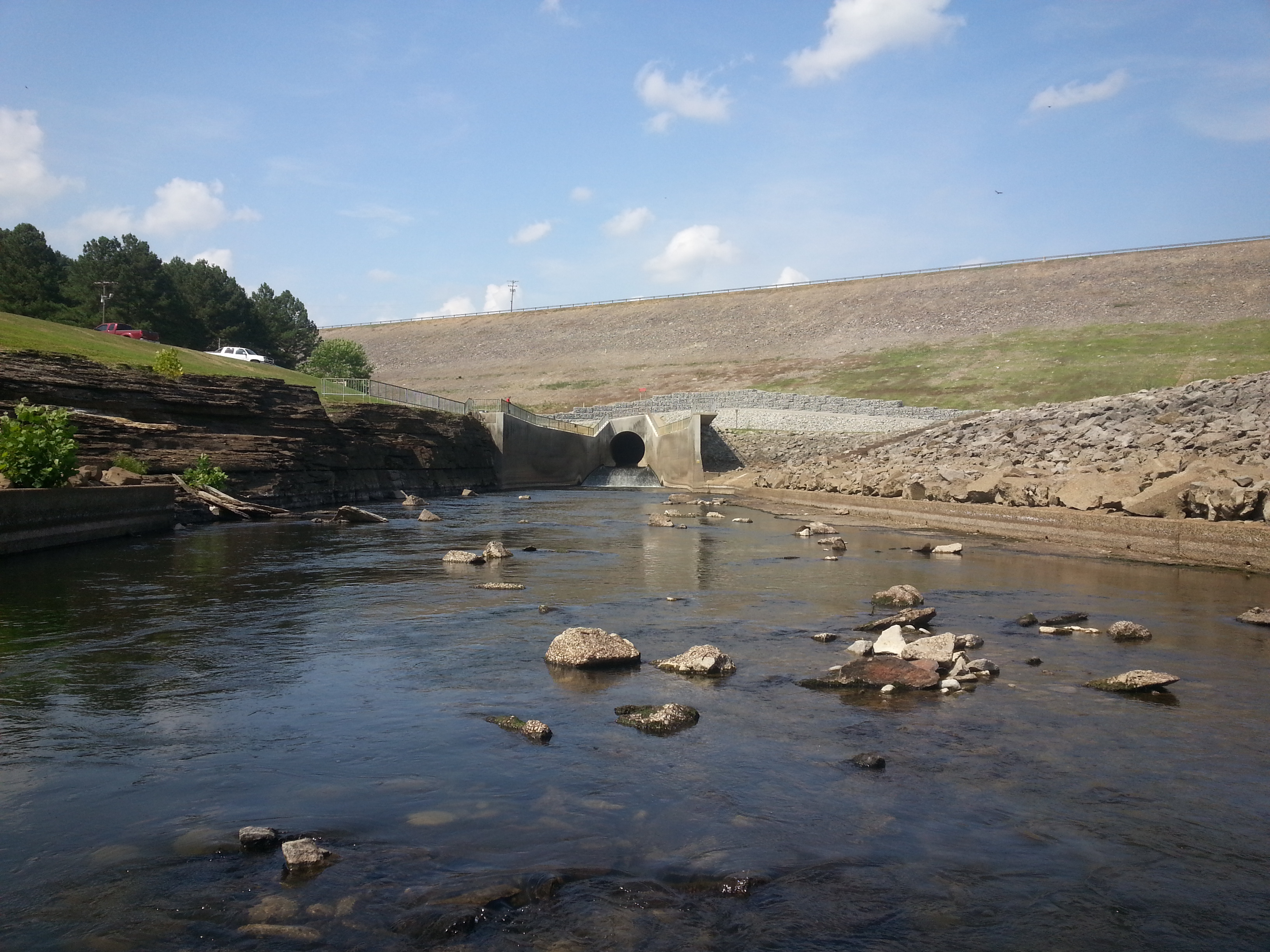
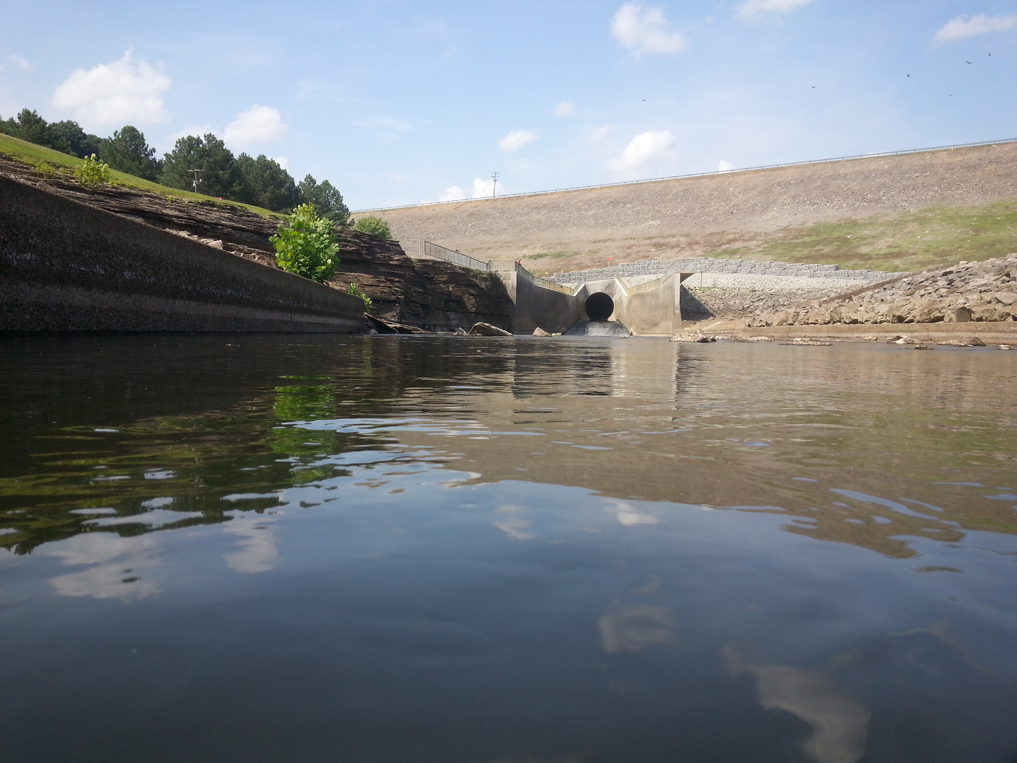
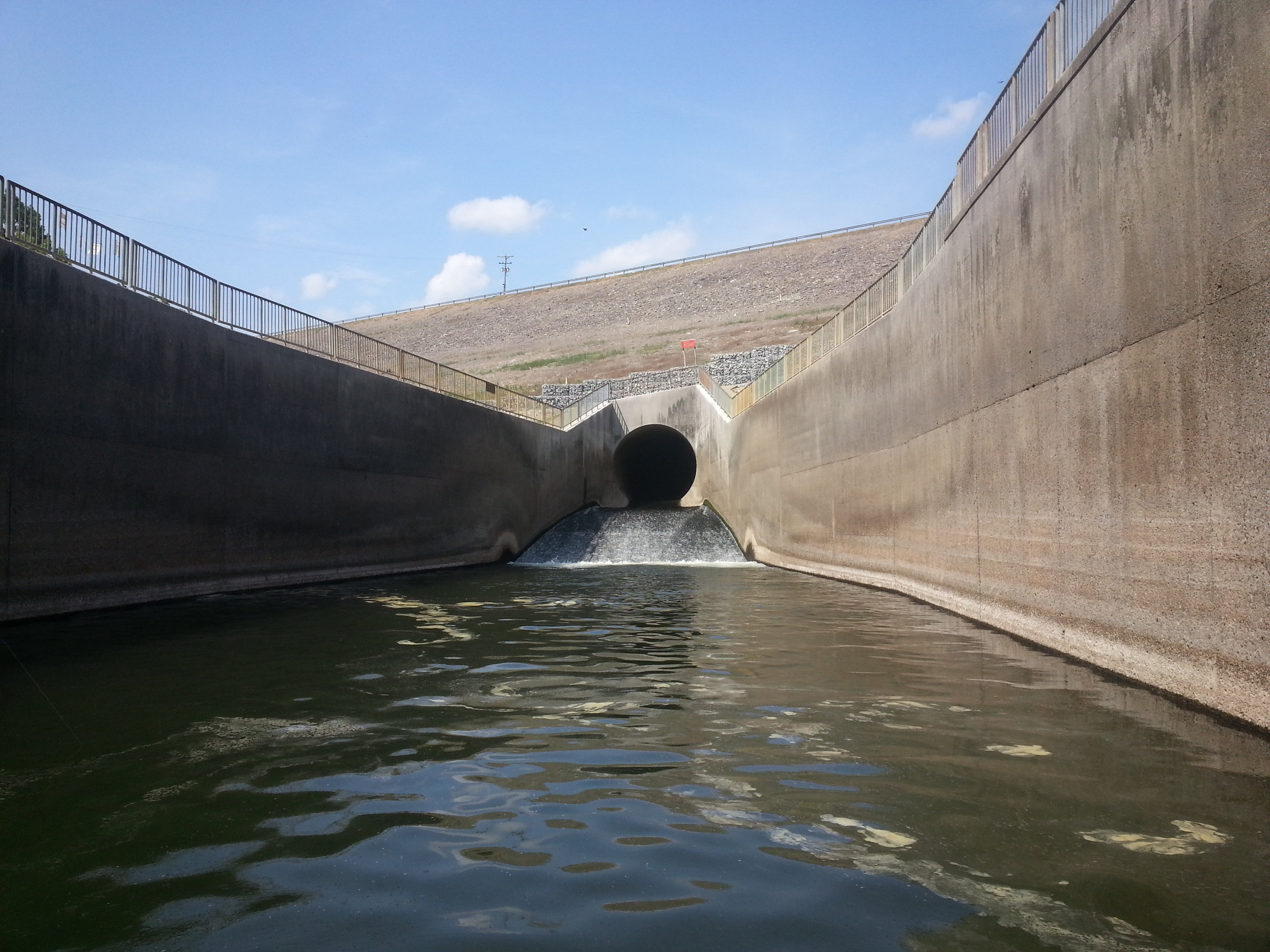
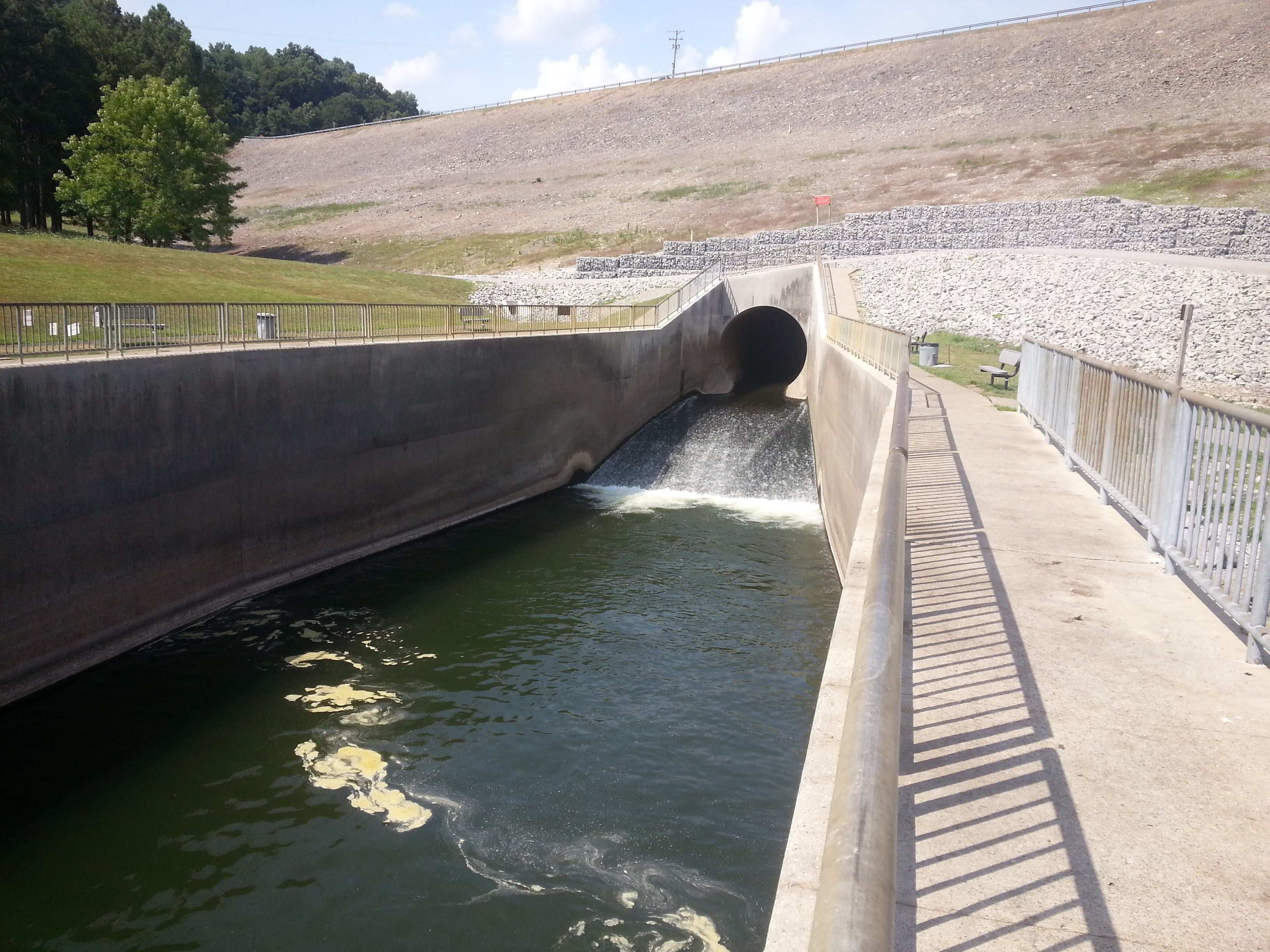
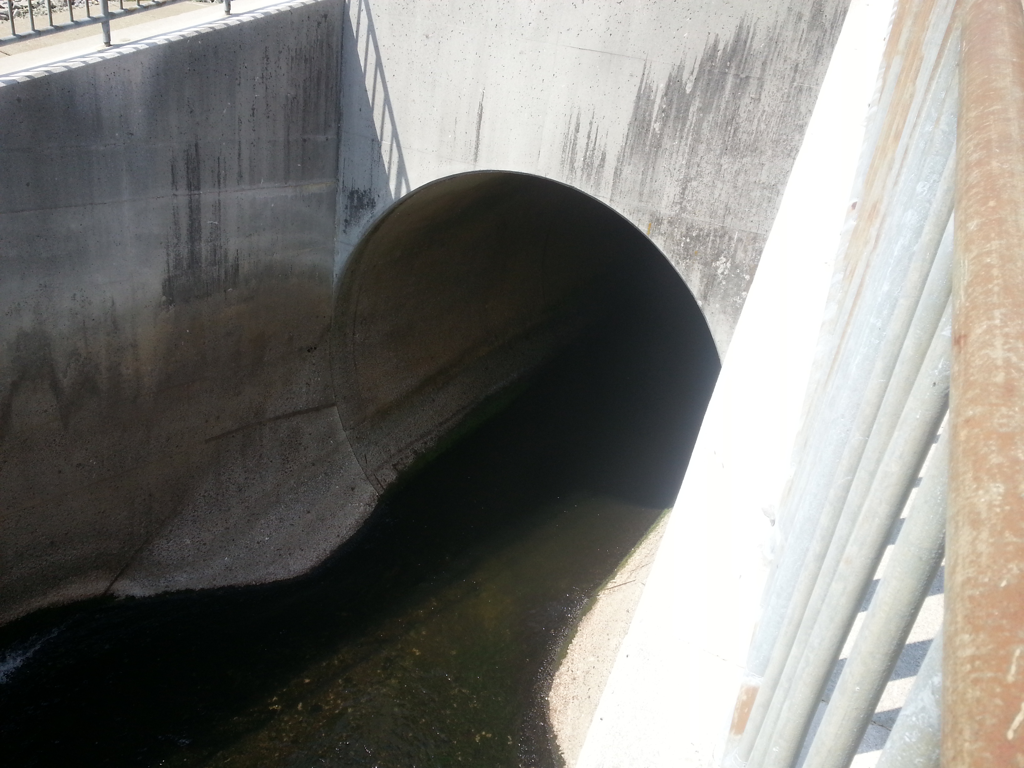
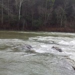
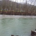
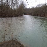
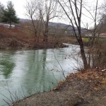
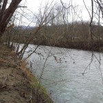
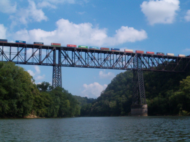
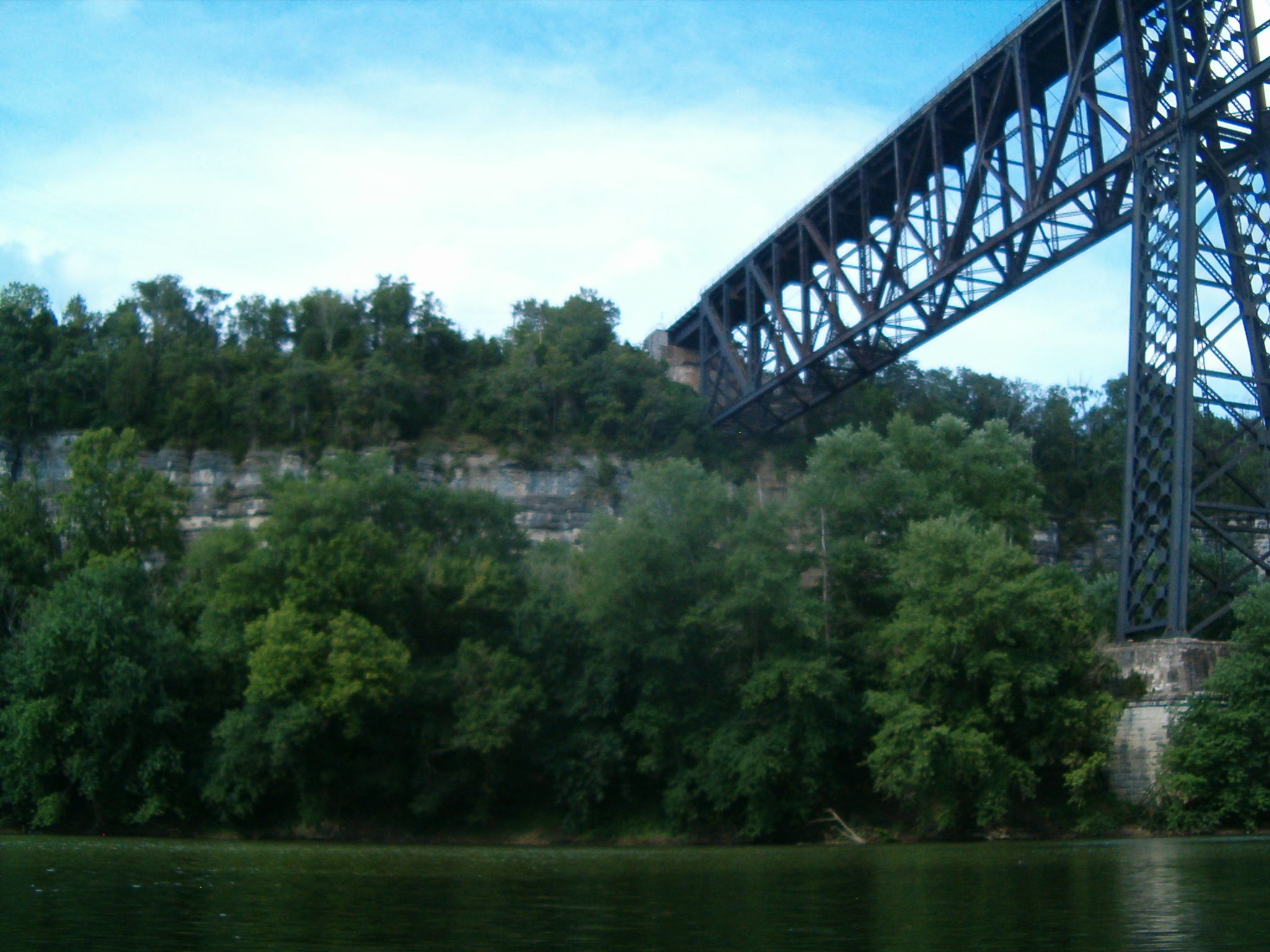
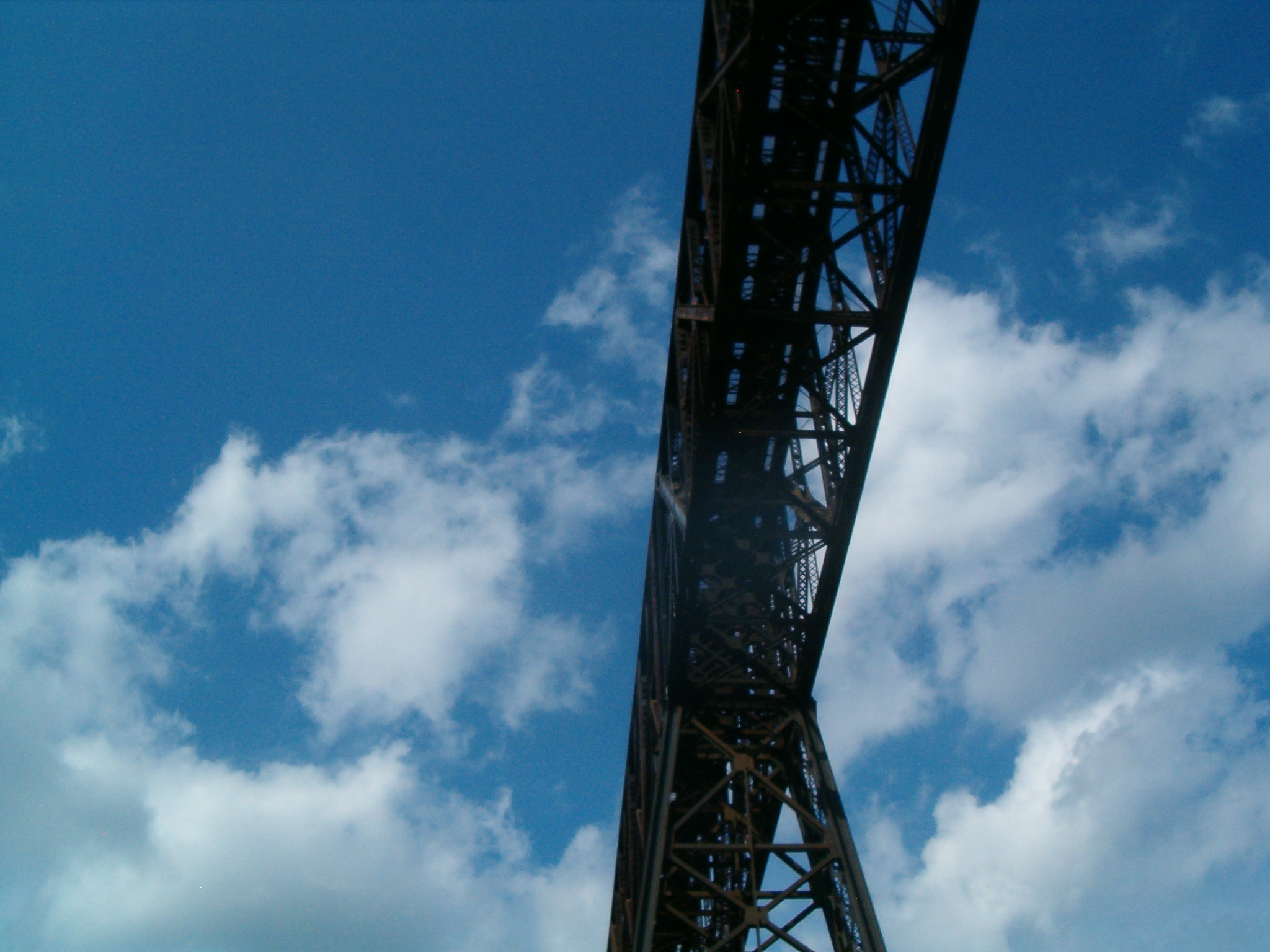
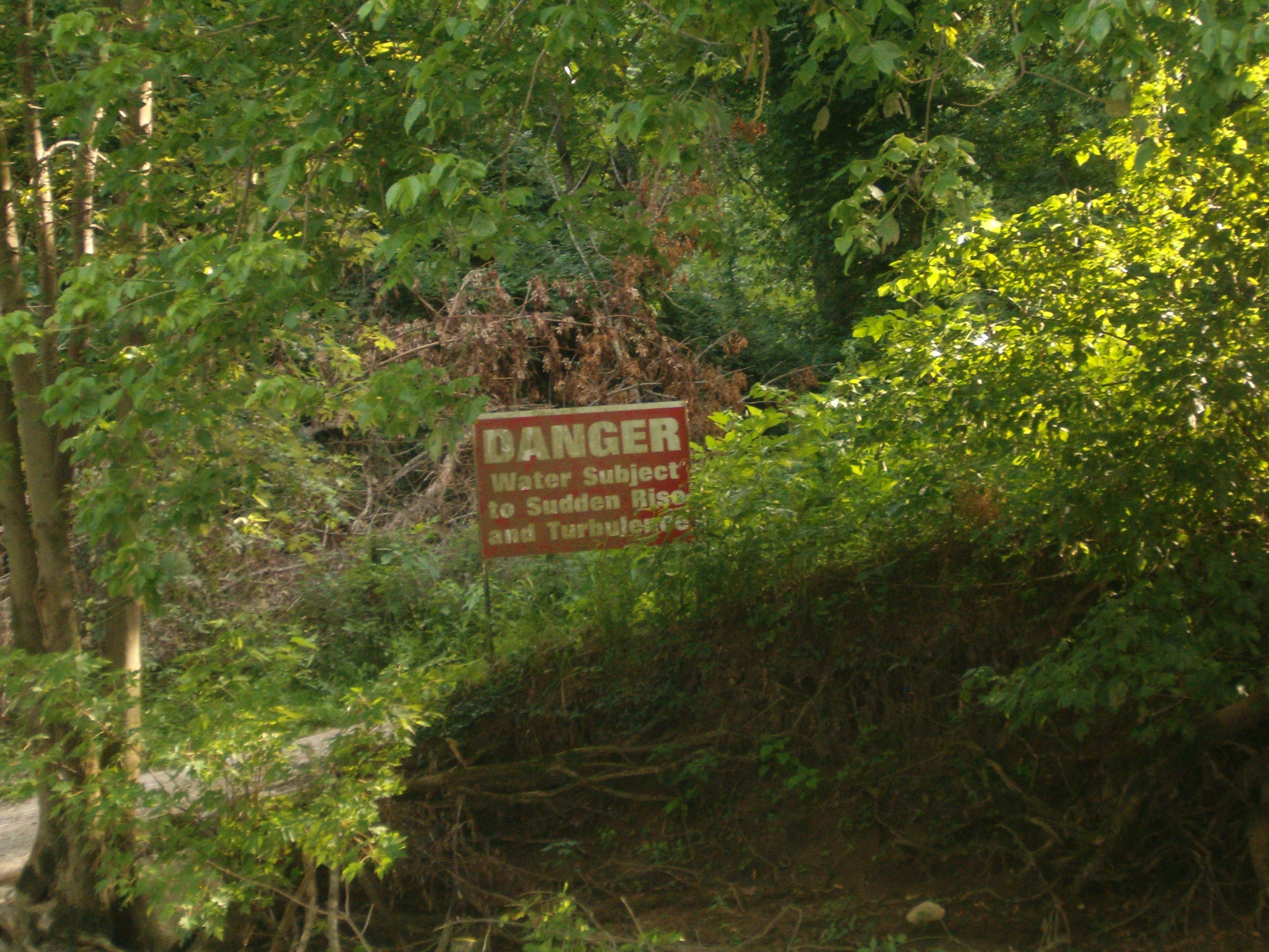
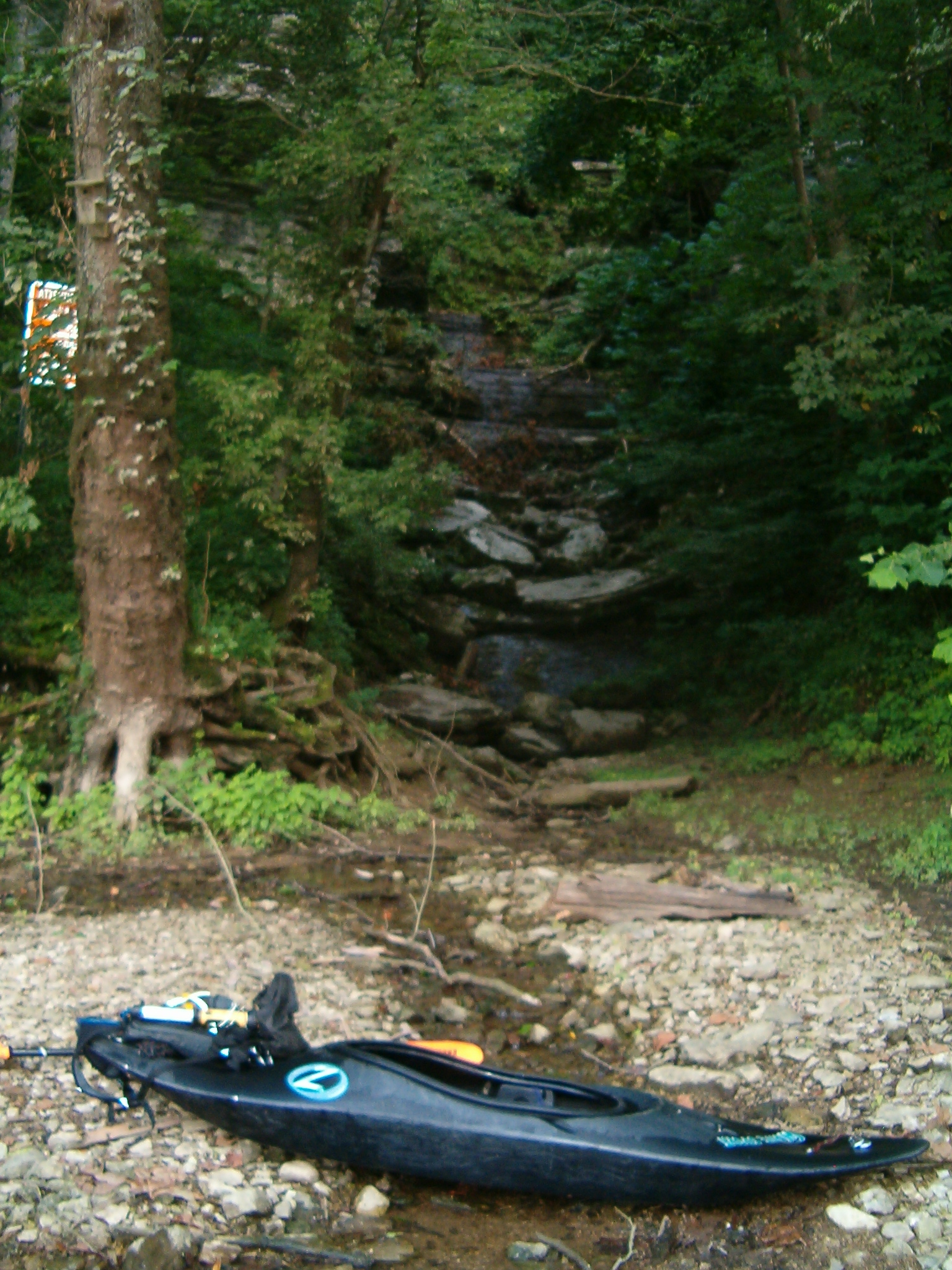
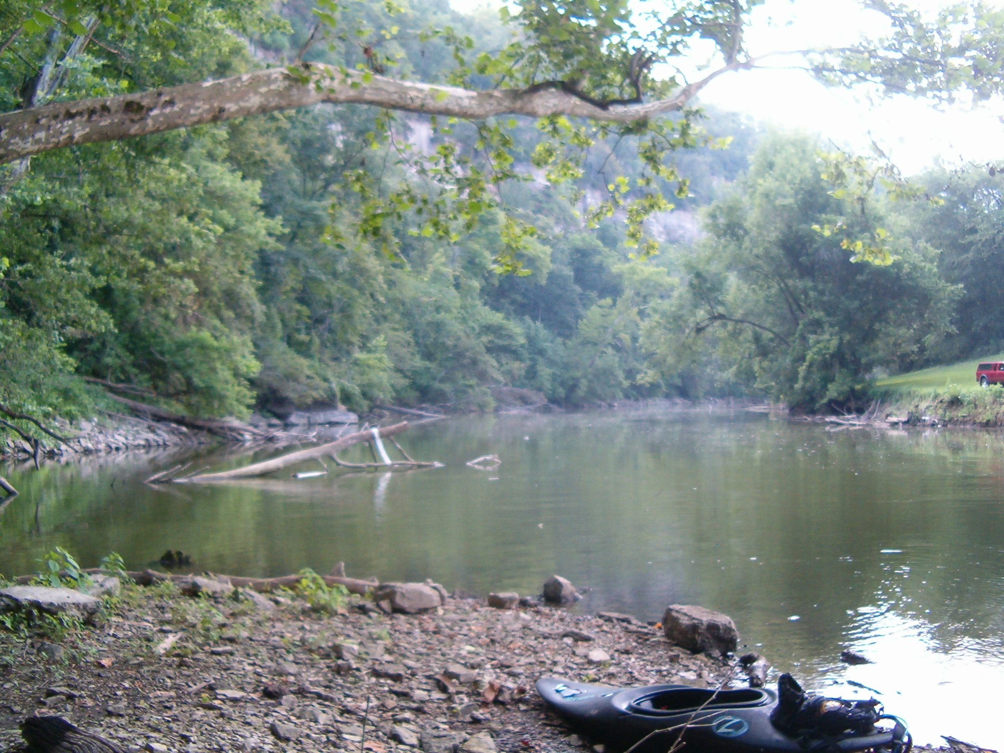
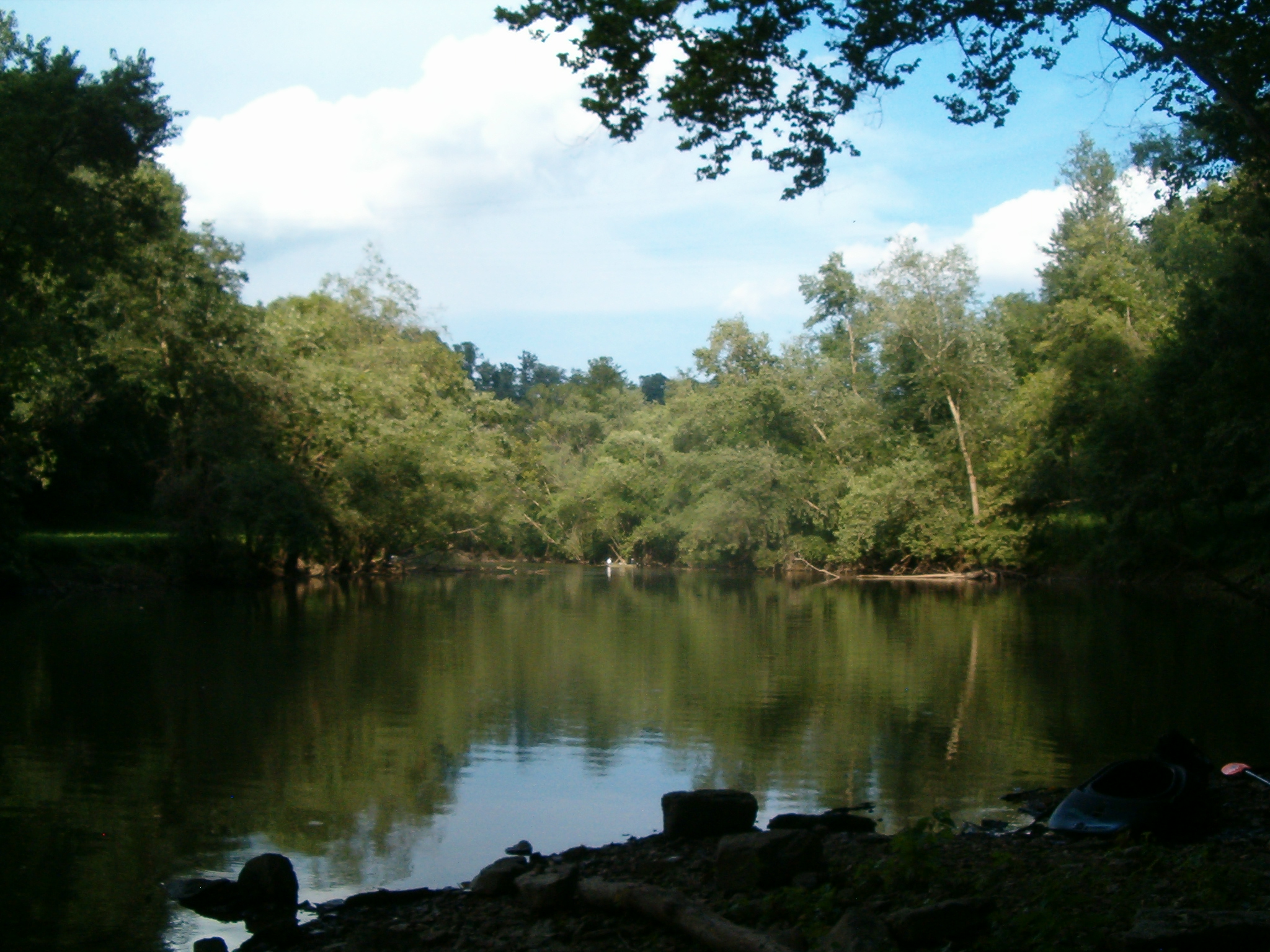
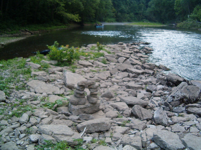
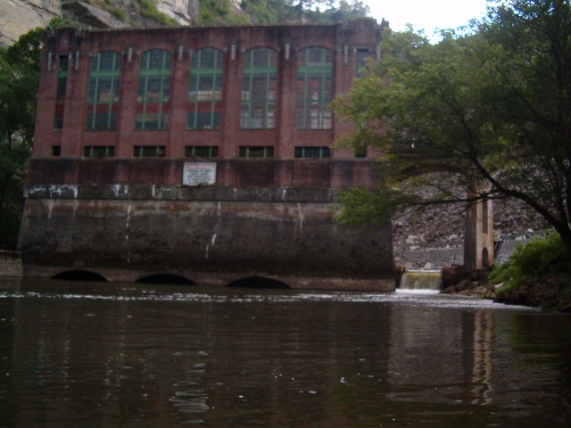
So instead I decided to explore the Dix River via High Bridge Ramp. A simple run really, but it had a lot of interesting features. The first of course is High Bridge. You can’t appreciate the engineering accomplishment and scale without seeing it up close.
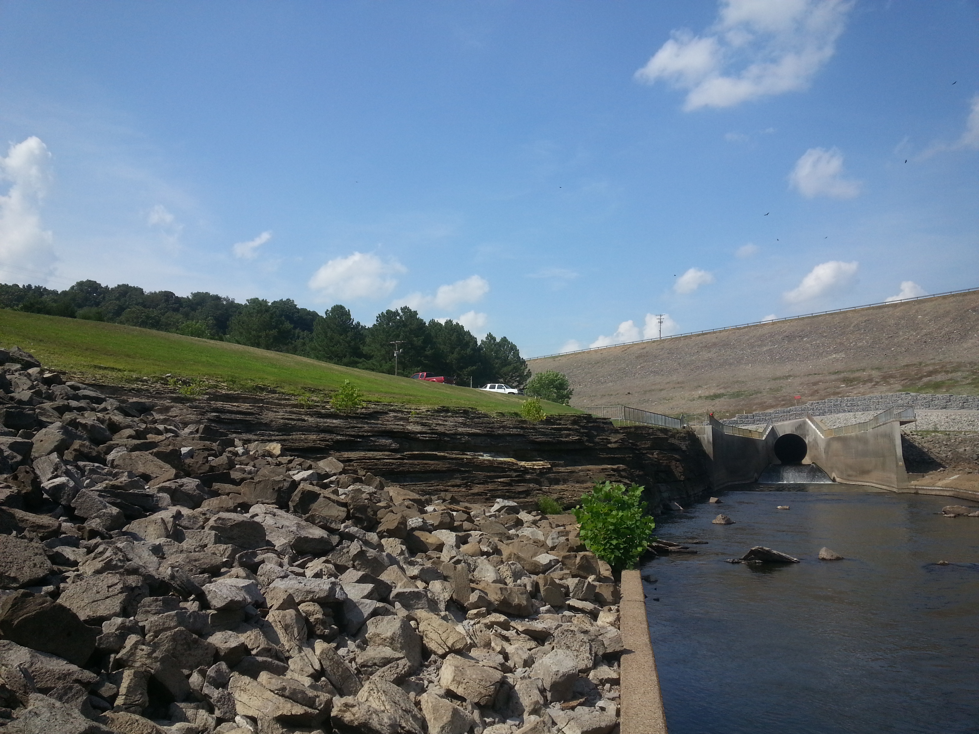
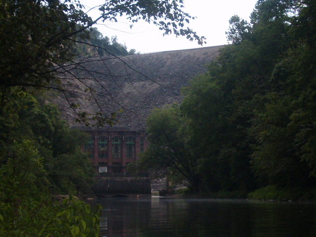
Next was the Dix River confluence. At 77 miles long, it’s the only major river left tributary of the Kentucky River. Two miles upstream from the confluence is the Dix Dam, which forms Herrington Lake. It’s a relic today and looks the part, but when built it was an engineering marvel and technically still is. At the time it was the largest earth fill dam in the world.
One of the downsides of my exploring style is that I usually know everything about a place before I get there. Since I’m nearly always alone, I have to make sure I’ve done my homework on an area first. The Dix is an exception, and that is what made it interesting. There is almost no detailed information available. All surrounding land is privately owned by local residents or Kentucky Utilities and public access by road is all but non existent. Even Google Earth doesn’t have a good image due to the power plant’s exhaust plume.
This meant I had no idea what I would see. I imagined the approach to be nothing but concrete and rock fill, with a generally “artificial” feel. I guessed the outlet was probably a sluice like spillway tunnel feeding an impassible churning suppression bay similar to Cave Run’s. Considering the barbed wire security KU employs in the surrounding area, one would think it would all be blocked by water fences and guarded anyway. I had also pictured the area to be devoid of interest by anyone other then myself. Who cares about exploring an obsolete dam on a river tributary in the middle of nowhere?
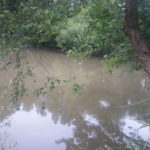
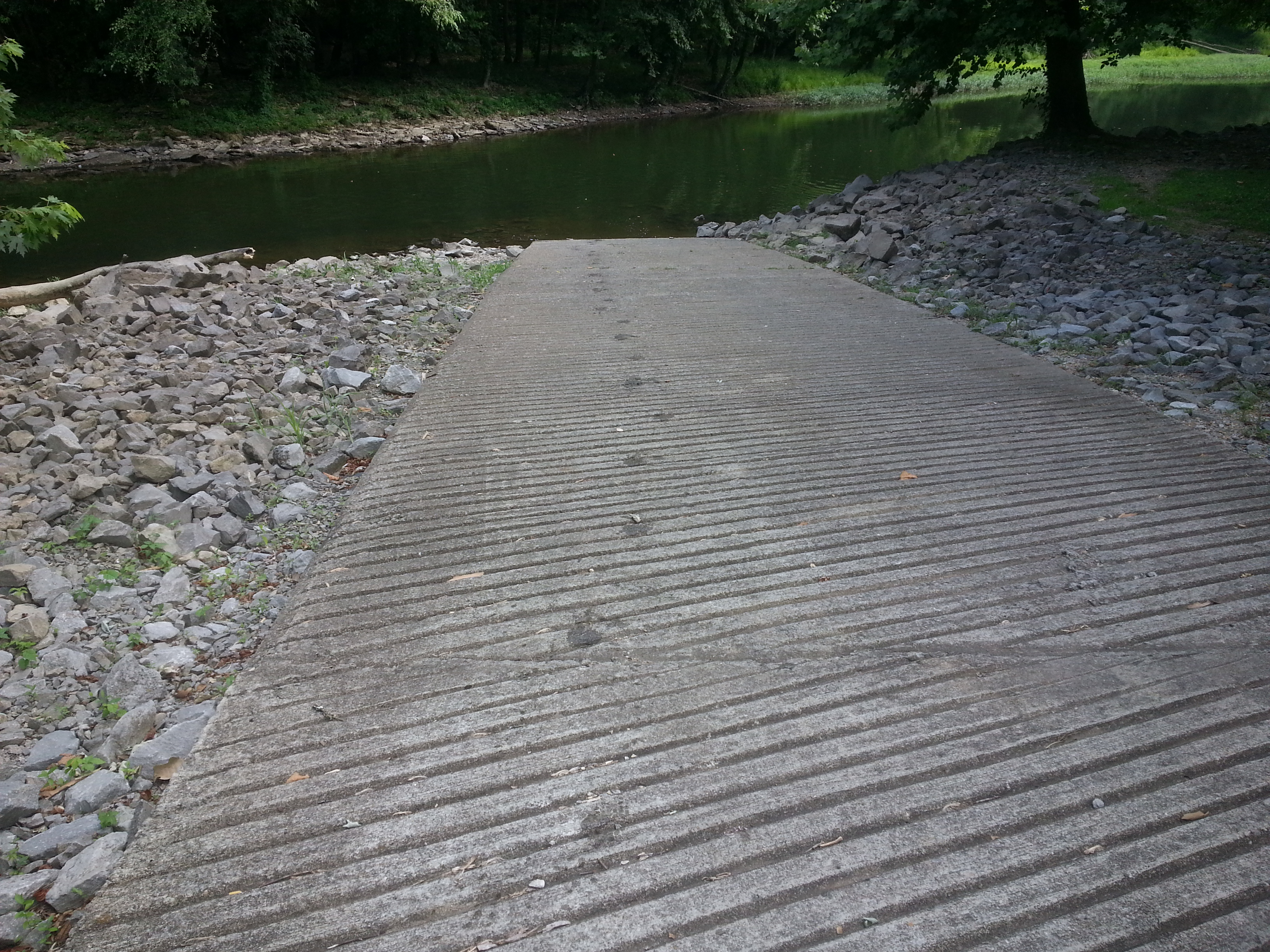
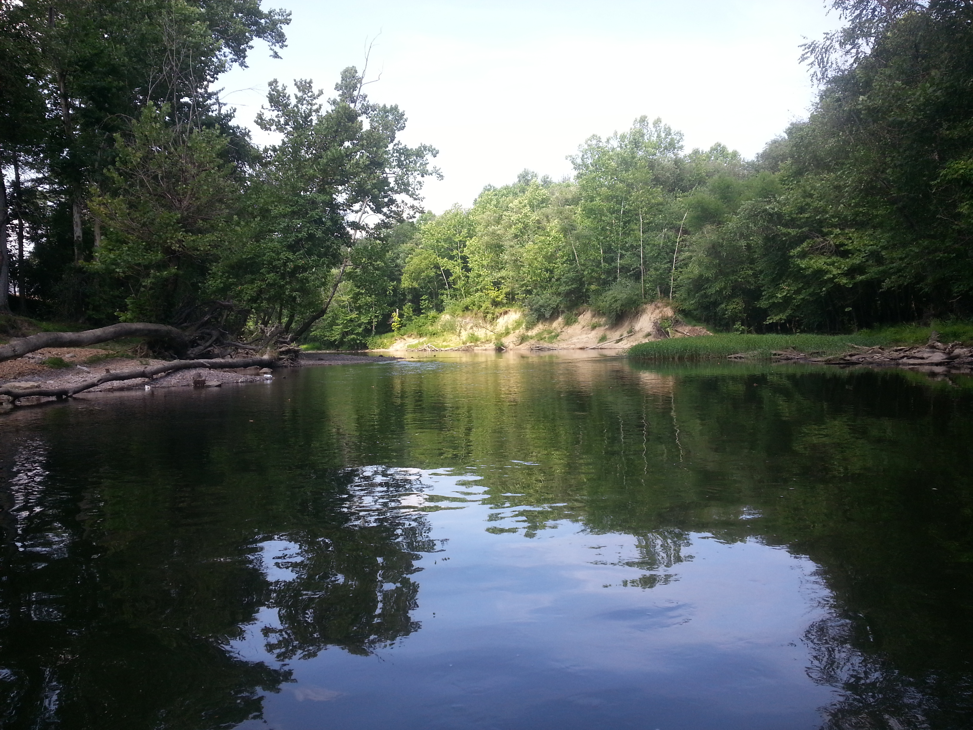
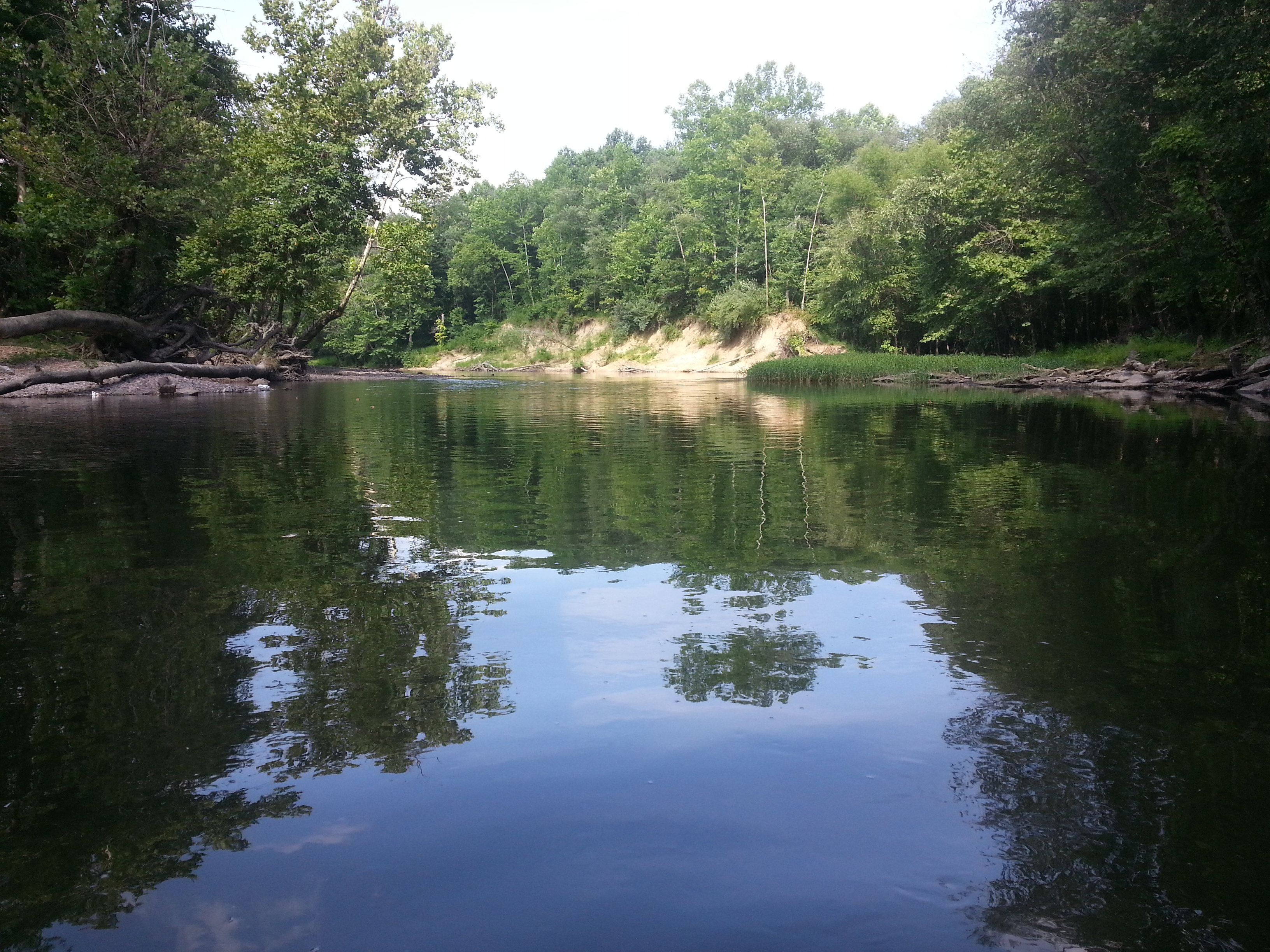
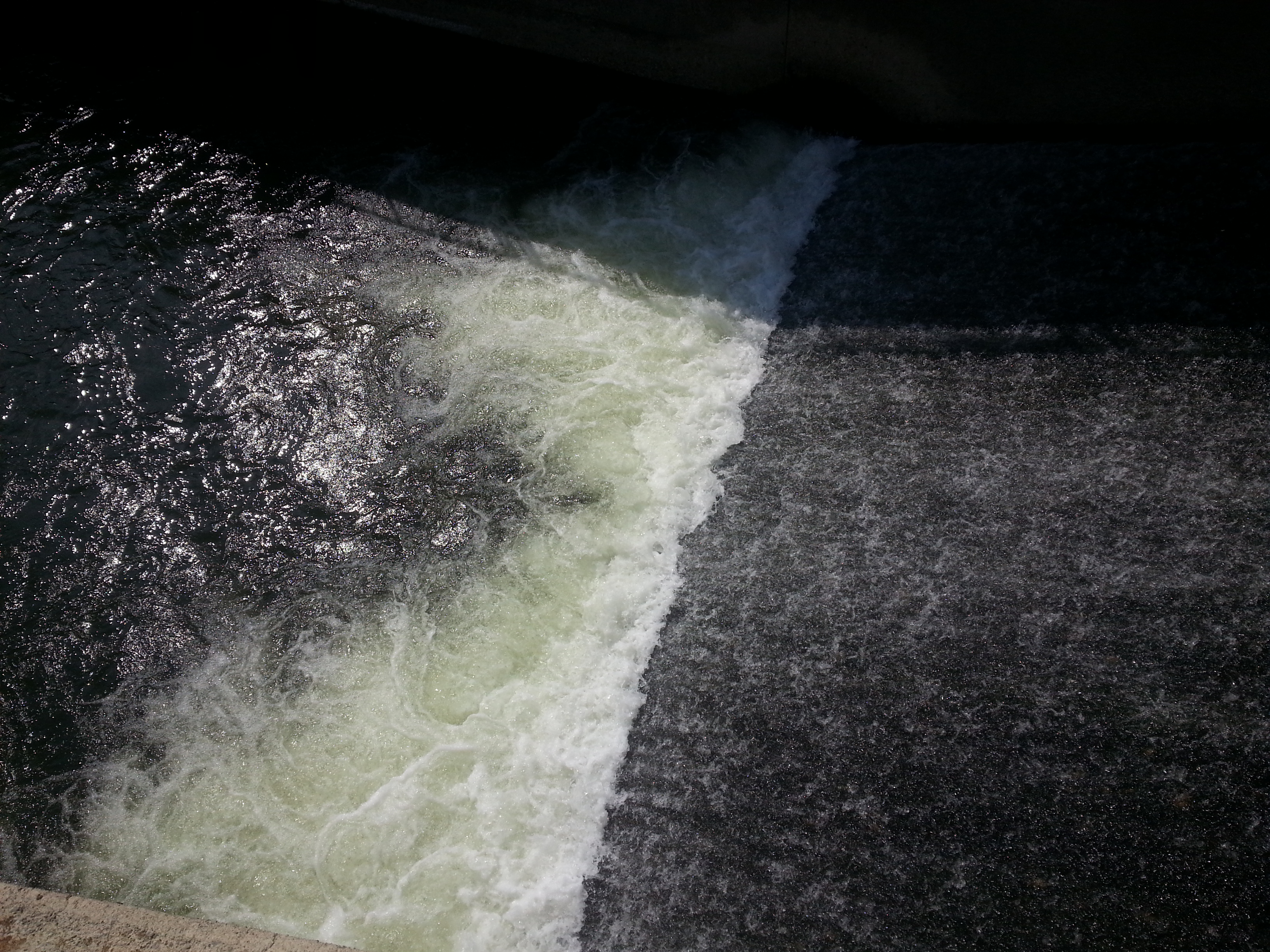
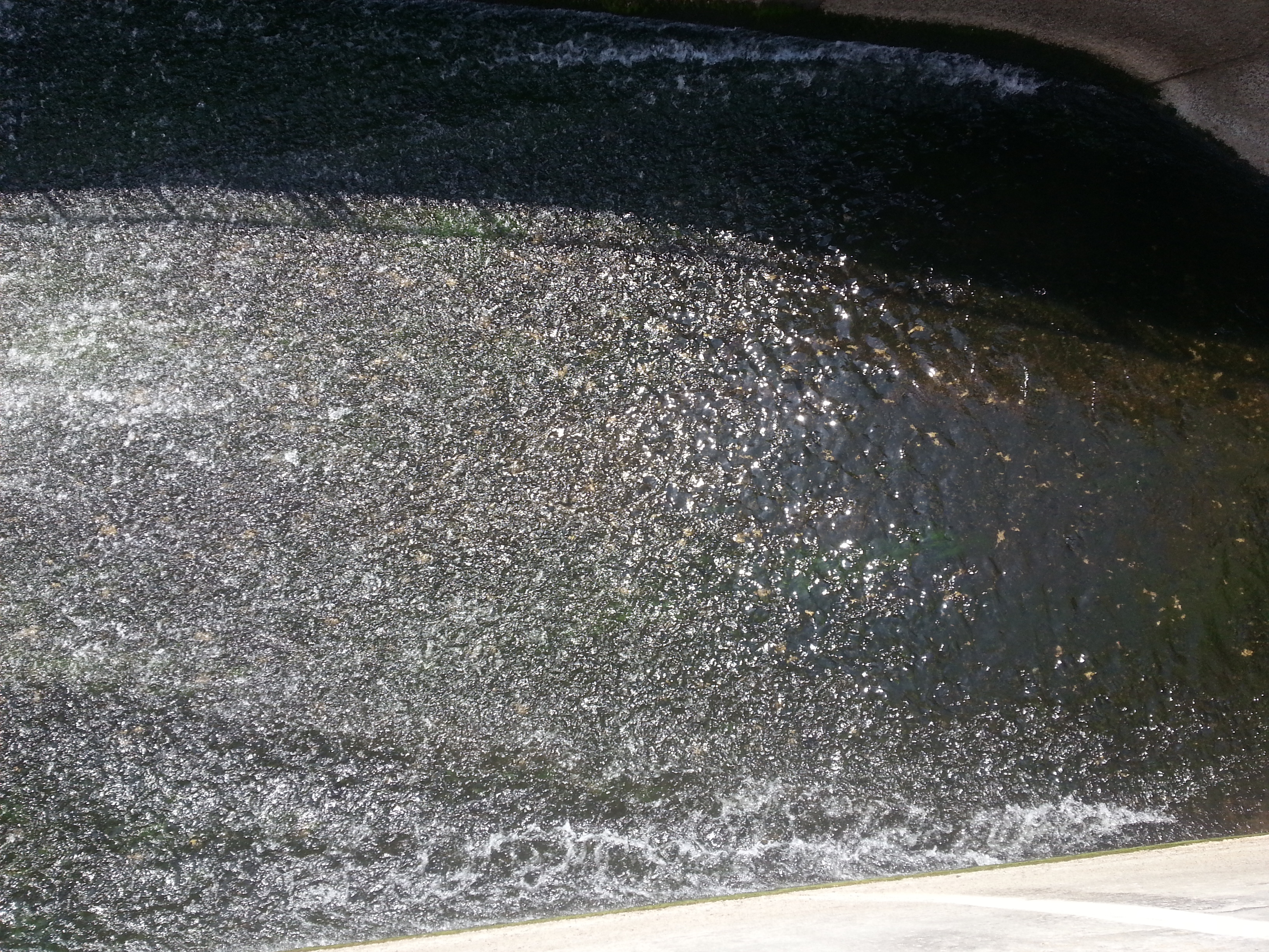
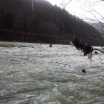
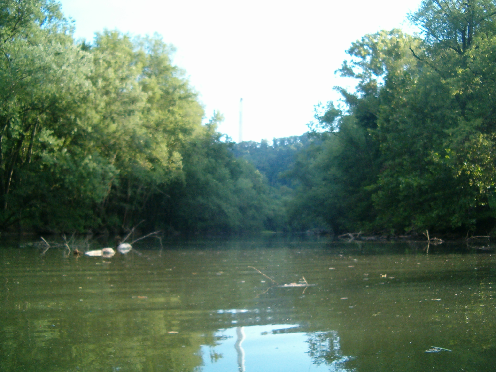
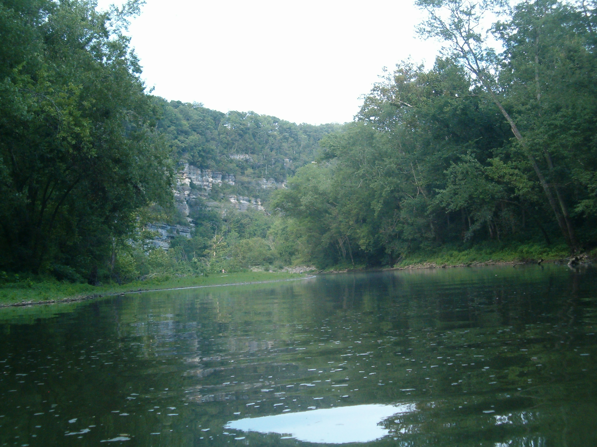
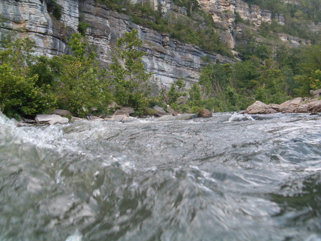
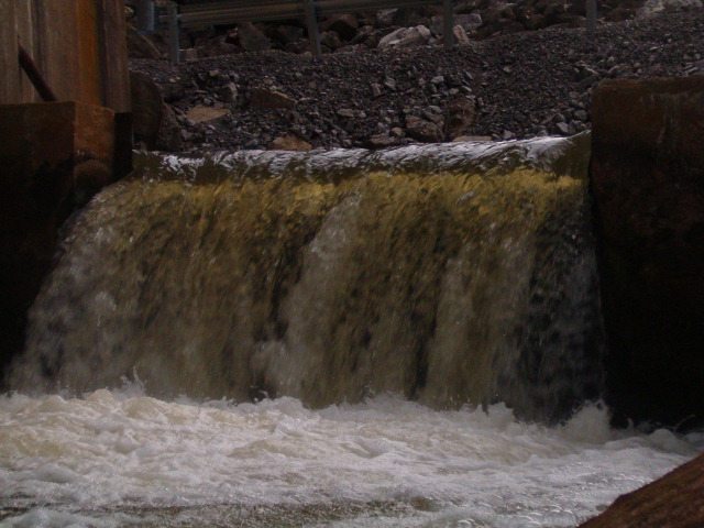
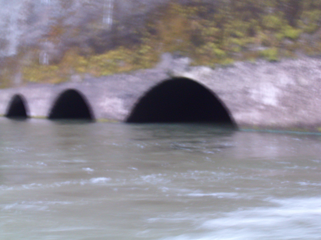
As it turned out, I was dead wrong on all counts. First, the dam itself is easily approachable; its powerhouse sits right on the water, and there is no sluice. Instead a fish ladder and spillover outlet provide drainage when the turbines aren’t in use. So rather then churning, the water is in fact perfectly flat. There is a still a strong exit current; far too dangerous for a swimmer. But it’s nothing a half decent paddler can’t overcome. The end result is that not only can you approach and touch the dam, you can actually go inside of it. I was able to paddle right under the outlet archways and look directly up the turbine exit pipes.
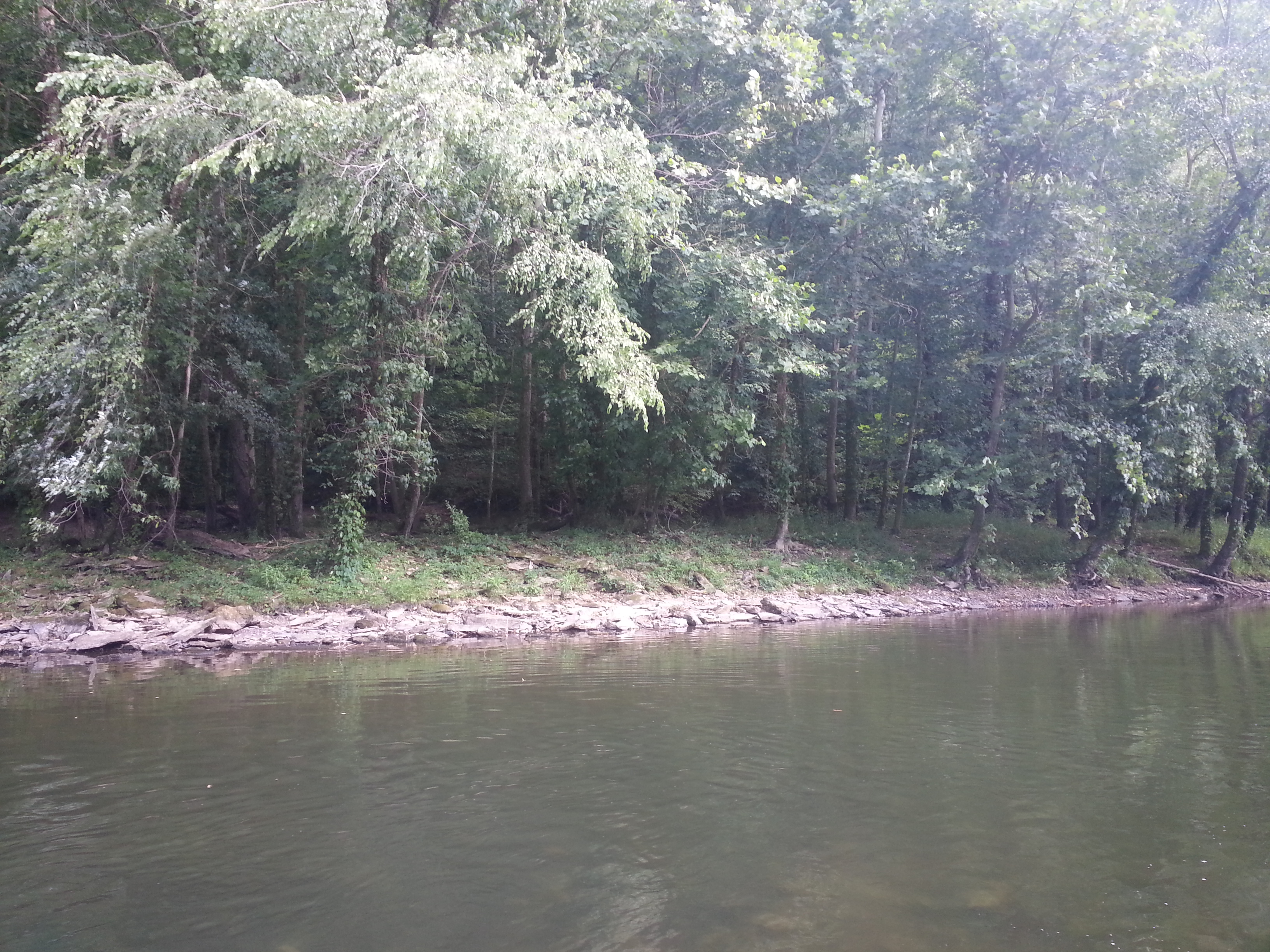
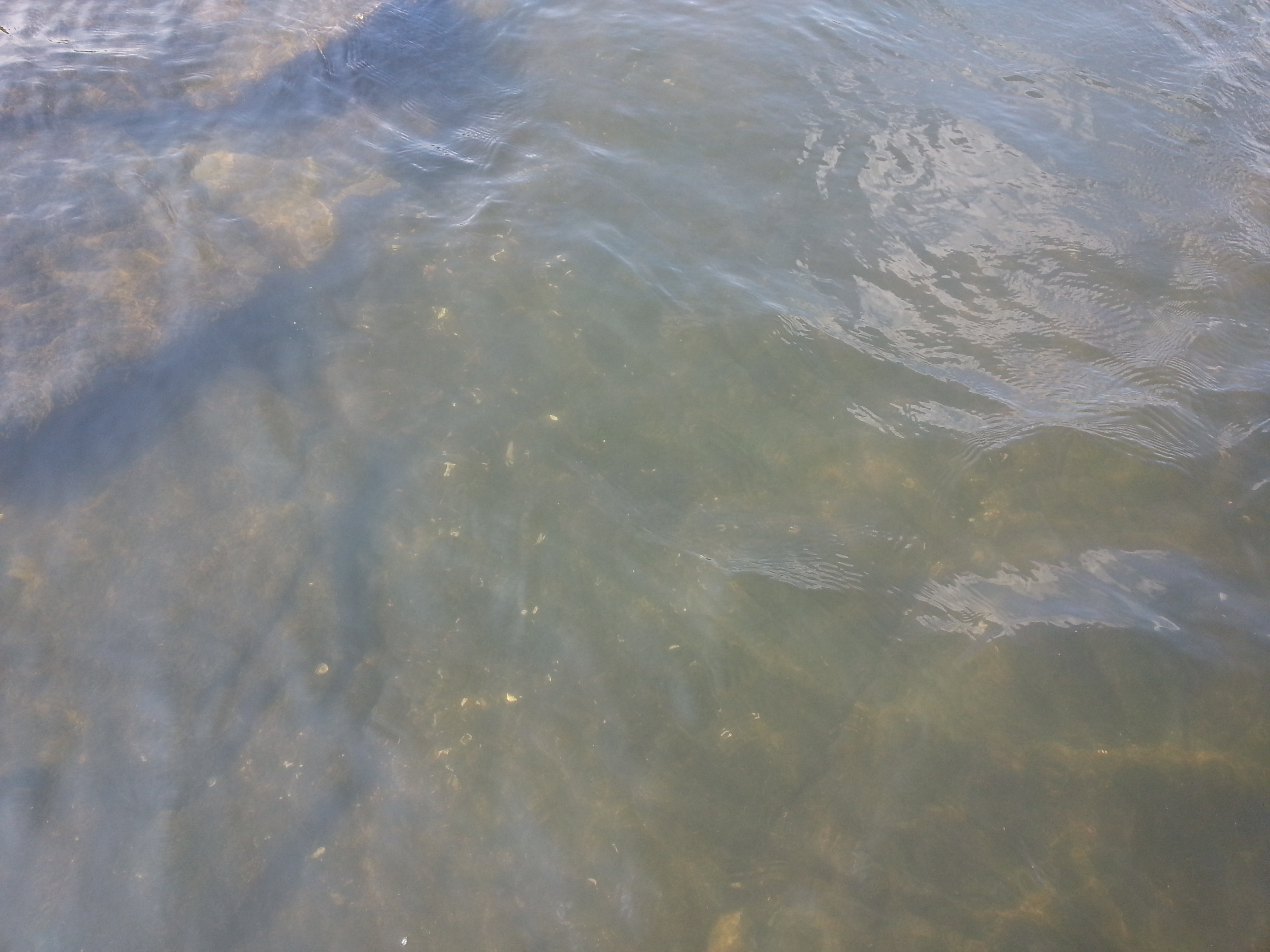
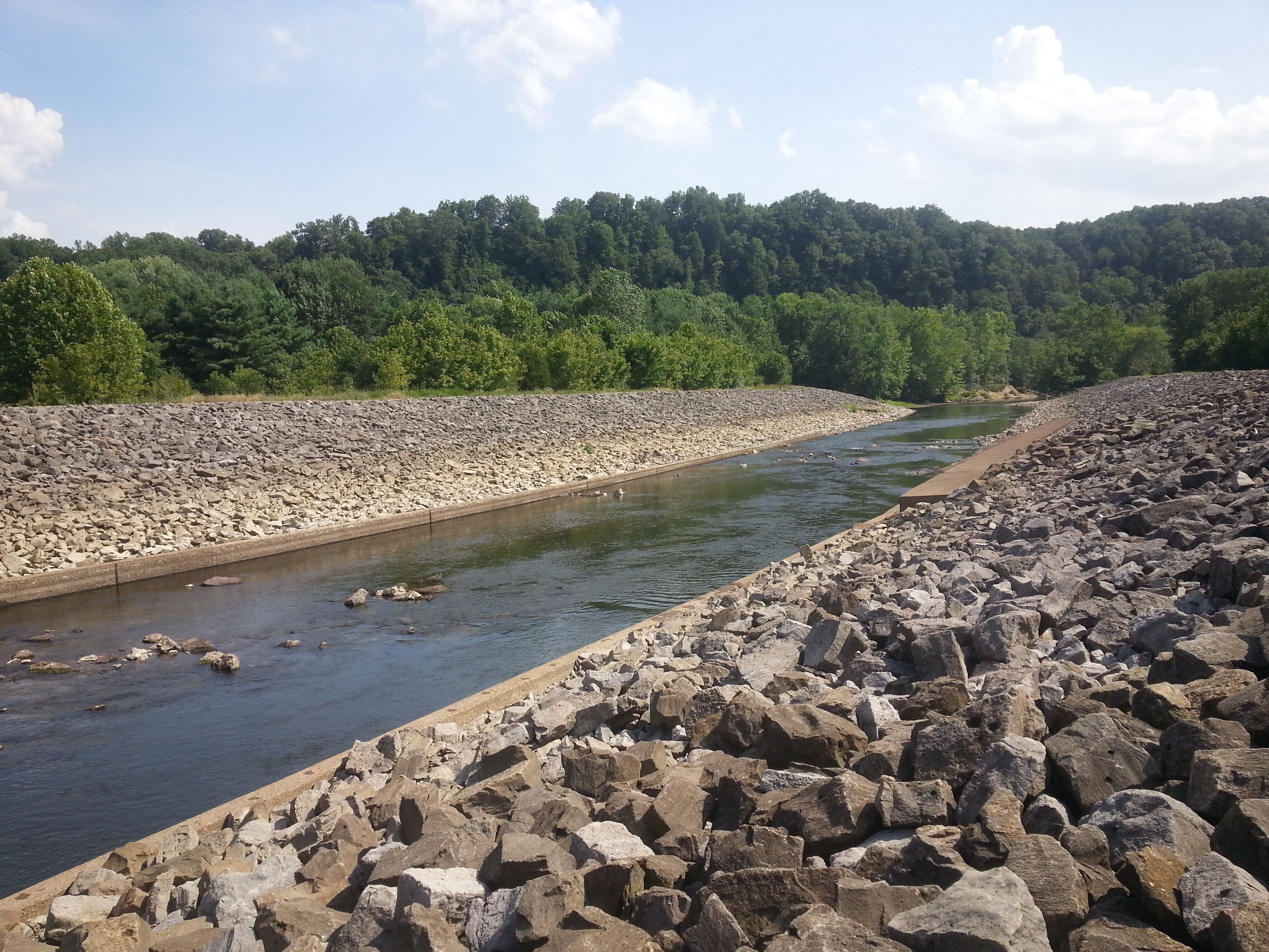
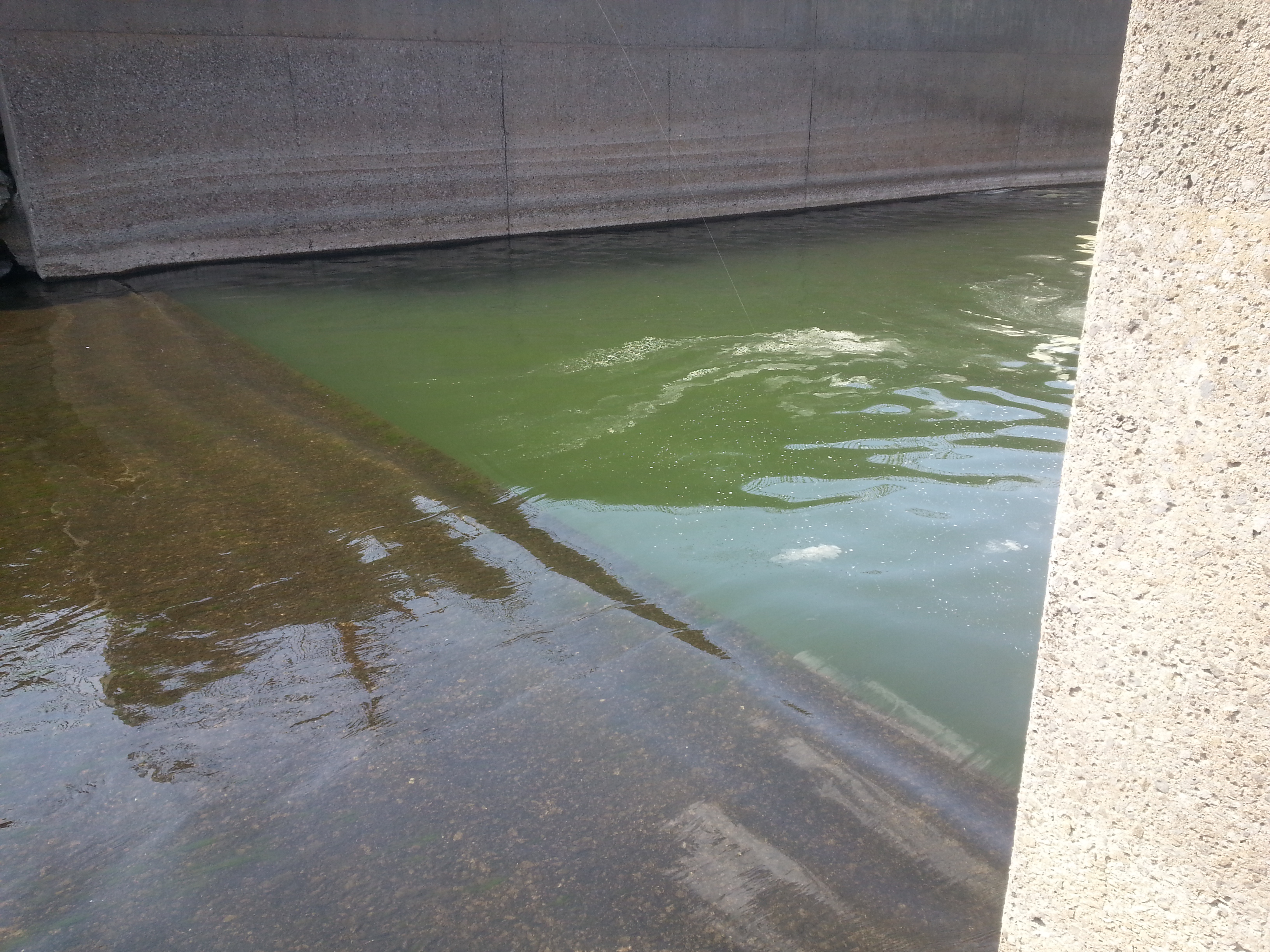
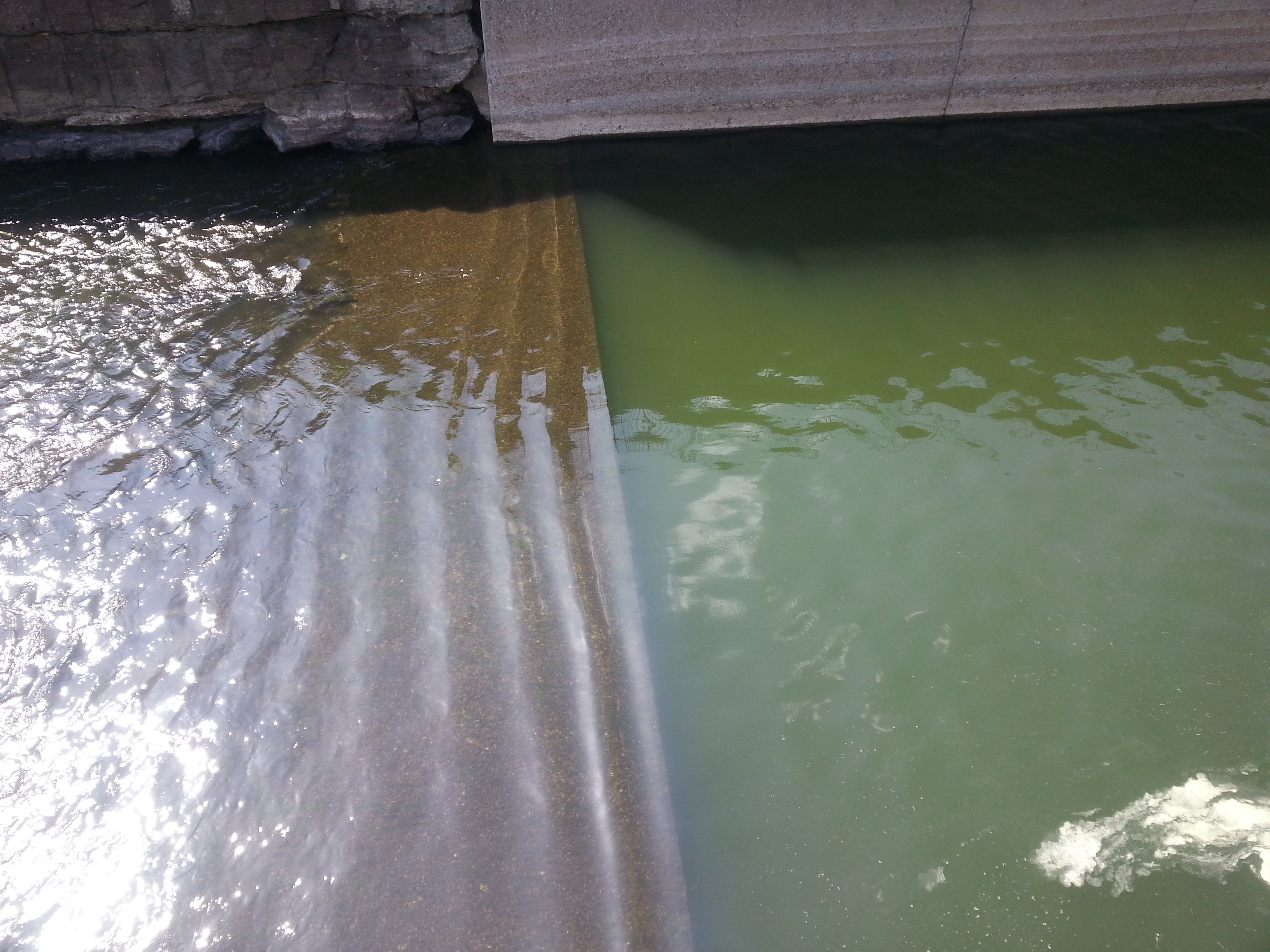
As for the area, it was anything but artificial. The geography has been virtually untouched, and if you didn’t already know the dam was there its sudden appearance around a bend would be quite a shock. Pristine palisades and waterfalls were at every turn, and wildlife was abundant. About the only evidence of anything man made was the water temperature change. As is typical for any deep lake discharge, the water is quite cold for some distance downstream. The change is very sudden, in less then 10′ of travel the temperature drops almost 30 degrees. This also causes a near perpetual cooling breeze and heavy fog at dusk. All in all a very pleasant experience compared to the “bath water” you’ll find in the Kentucky River.
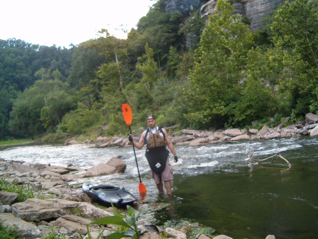
That cold water also brought me the last surprise. Company. As it turns out, it is a popular area for trout and hybrid anglers. I met about a dozen individuals on the way up. Most were in Johnboats; they could only get so far upstream due to some rapids. But one was a fellow kayaker named Dan who was fishing at the dam basin. Dan is a veteran of the area and had put in at the same ramp I did. After some further exploring on my part and fishing on his, we headed back down stream together at dusk. I’m used to running solo, but it’s nice to have some company now and again. A storm popped up on us just as we got started back, but thankfully it mostly blew over.
A good day overall. It was well past dark by the time we made the halfway point back, but that was fine with me since I originally wanted to go after midnight in the first place. Dan tells me that had the moon not been out he would have probably stayed up river all night. According to him, the bass bite like crazy on moonless nights. I’m no angler, but I do like me some fish. I might have to head back one evening and give it a try.
July 4th found me home alone while Nichole and the kids visited her family. Having wasted most of the day, I decided kind of last minute to see the Cincinnati Fireworks display at Newport on The Levee. I remembered last year when we took the kids there it was a blast.
Of course, being alone meant this time I could check it out from the river in my Kayak. Kayaks don’t need boat ramps for obvious reasons, but my Tahoe certainly needed a parking spot, and the only launch point to be found was about five miles up stream. No big, except it meant I was pushing for time; I just made it as the show was starting.
The cool part was having the best vantage point of anyone on the river. Powered boats aren’t allowed in the staging area, but I was (or rather, there wasn’t much they could do to keep me out). It was a spectacular show. Funny enough, my Kayak attracted a lot of attention too – boaters stopped to take pictures as they passed me on the way there, and I got a ton of requests from onlookers at the shore park to do some tricks and such. I was happy to oblige, as well as could be done on flat water anyway. Afterward, I ported on the Ohio side at the park to stretch my legs and chatted a bit with them.
And then it all went south, literally. While waiting for the mass exodus of cabin cruisers, speedboats, and their likely as not heavily inebriated pilots to finish up, I decided I’d cross over to the south bank, get some ice cream, and join the remaining festival at the Newport Aquarium Plaza.
But walking up the shore directly below the aquarium, I slipped on an ottoman sized hunk of concrete and fell directly on my toes, breaking three and spraining my right ankle. Soft sole river shoes are usually sure footed, but as you might guess, they don’t offer any support or protection if you do happen to falter. Adding insult to injury was the piece promptly tipped and rolled over to pin my foot down. Naturally, this took place in full view of hundreds of people, some of whom rushed down to help, but by that time I had already gotten a little hot under the collar and chucked it downriver myself. Probably not the smartest thing to do on a busted foot, but hey, at least I was free.
Afterward, I managed to pop two toes back in place, but the third just wasn’t going. Paddling back to my vehicle wouldn’t have been that hard per say, but the hour or so of travel time would mean that much more swelling and difficulty getting the toe fixed. So after getting some nearby bikers to watch my kayak, I took a cab back to my truck, drove it to the Kayak, and then headed home. On the way I stopped at Saint Francis and had them snap everything into place.
Of course, that was only after three x-rays, two shots, and wheeling me about the place on a crash cart equipped stretcher for three hours. For a broken toe. They also tried to give me a Vicodin prescription; thanks but no thanks. It’s stuff like this why I hospitals. All I needed was a set of more experienced hands then my own to snap the bone back and make sure there wasn’t any more serious damage. Nothing more or less; in a practical word, it wouldn’t have taken two minutes, and certainly didn’t call for narcotics.
Anyway, it was still fun all in all. Next year I plan to be back, only this time I’ll plan ahead and have more time to spare. It’s too bad none of the pictures I took came out right. My little camera just sucks for low light.
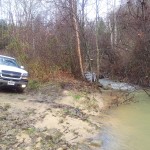
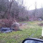
Yesterday (2010-06-07) I returned to my hometown of Morehead to run some errands, and decided to take a little detour on my way back.
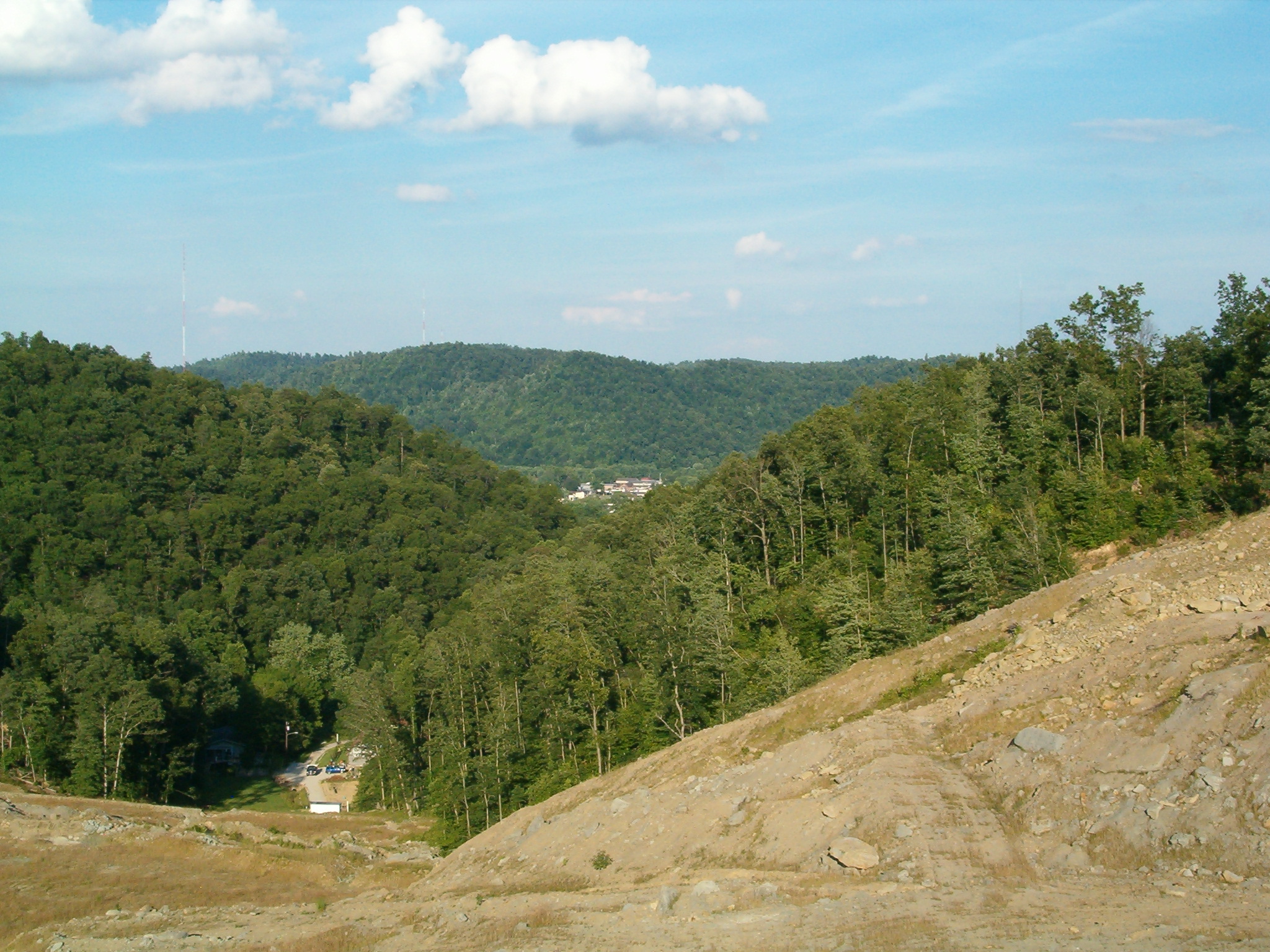
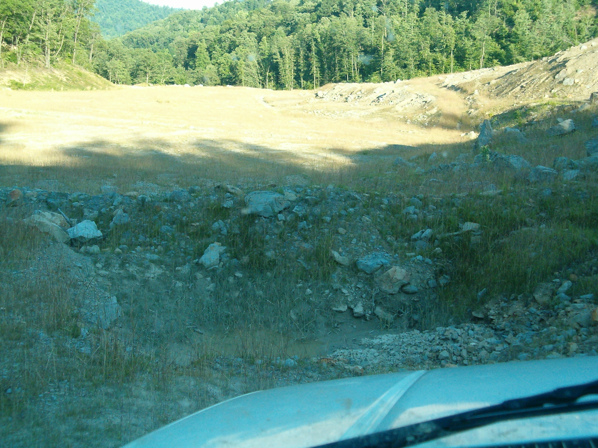
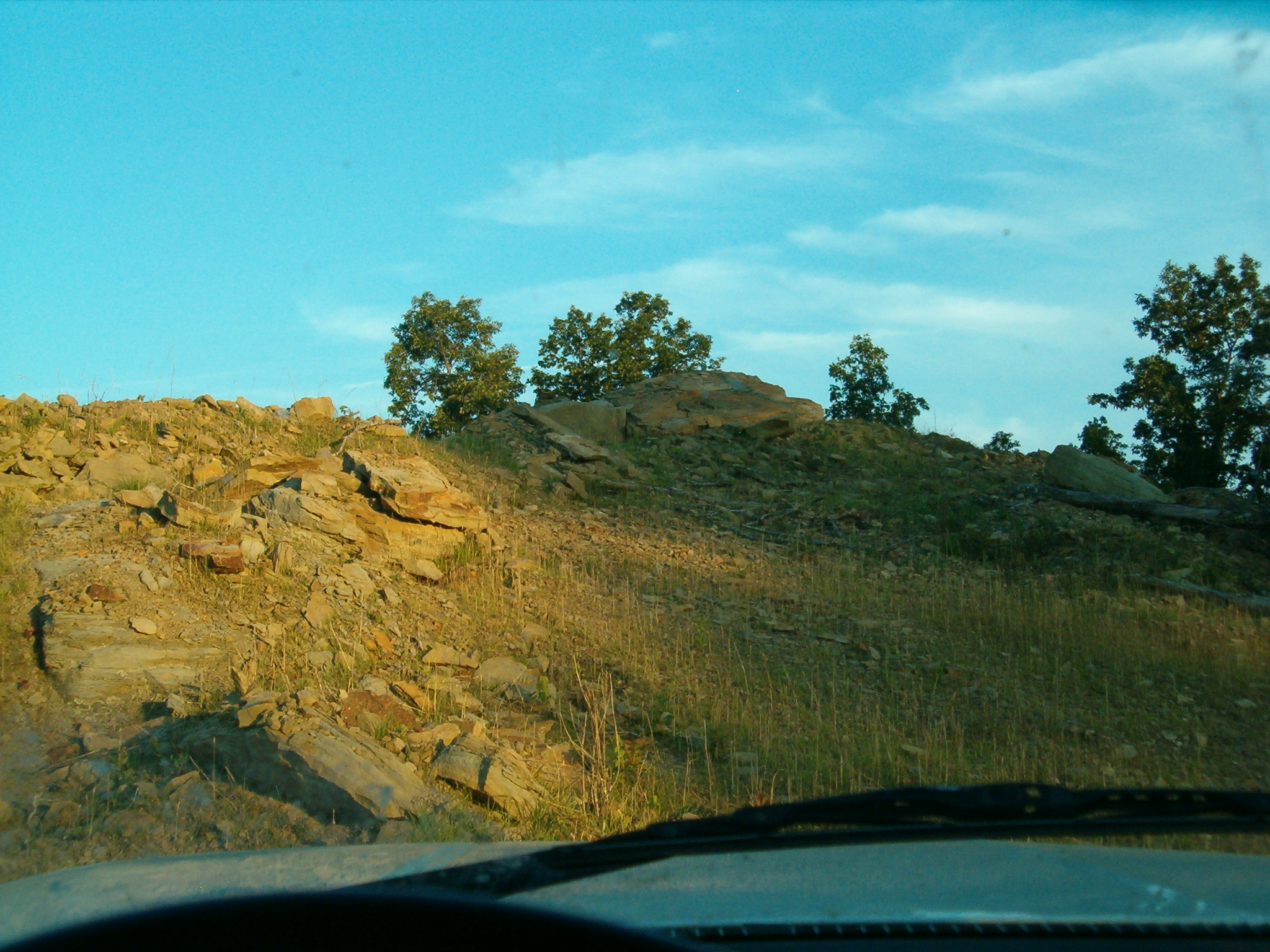
A couple of years ago one of the valleys on Divide Hill was blasted and bulldozed in a failed development. Those who live in the Morehead area see the front portion of this nearly every day. It’s right on the I-64 connector and adorned with a lot sign in what has to be the most pitiful attempt at expense recuperation I have ever seen. But ugly as it is from the main road, I venture that few know just how silly the whole project was.
What you see from the highway is in reality just a tip of the proverbial iceberg. Over the first rise an area nearly the size of downtown Morehead has been blasted into the hills, going so deep it connects with the next hollow. Just think mountain top removal, except without the coal.
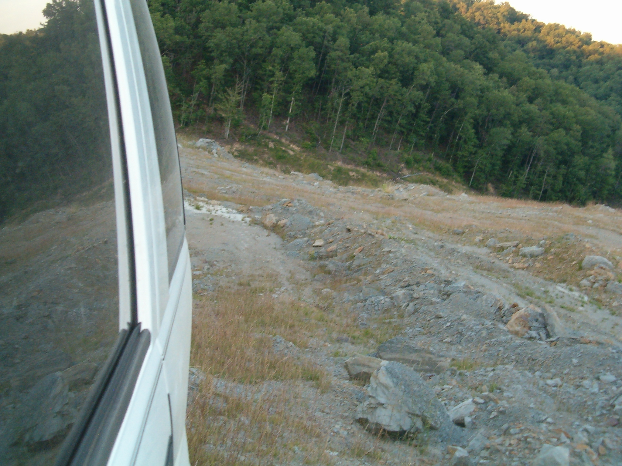
It’s a sad case of destruction for nothing, but does make for a quick access off road run and provides another perspective of the area once you reach the top. I’ve been up it many times, but always at night or in low visibility conditions, most recently during the last big snow. This was the first time I could get some decent pictures.
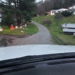
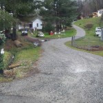
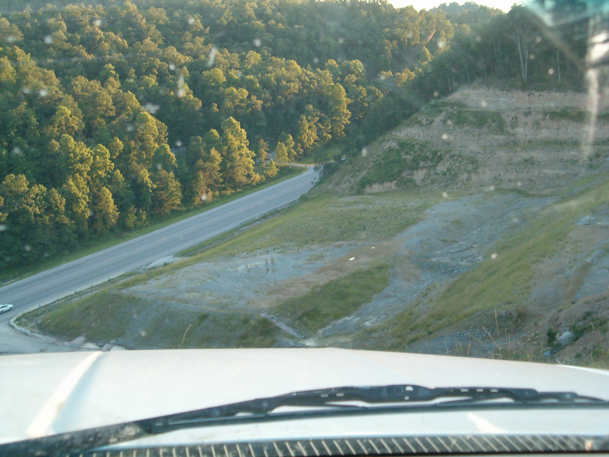
Junction of Flemingsburg and Old Flemingsburg road viewed from top of the cutout.
Looking toward town. Morehead is in the background. At lower left is the far end of Bartlett Drive.
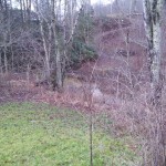
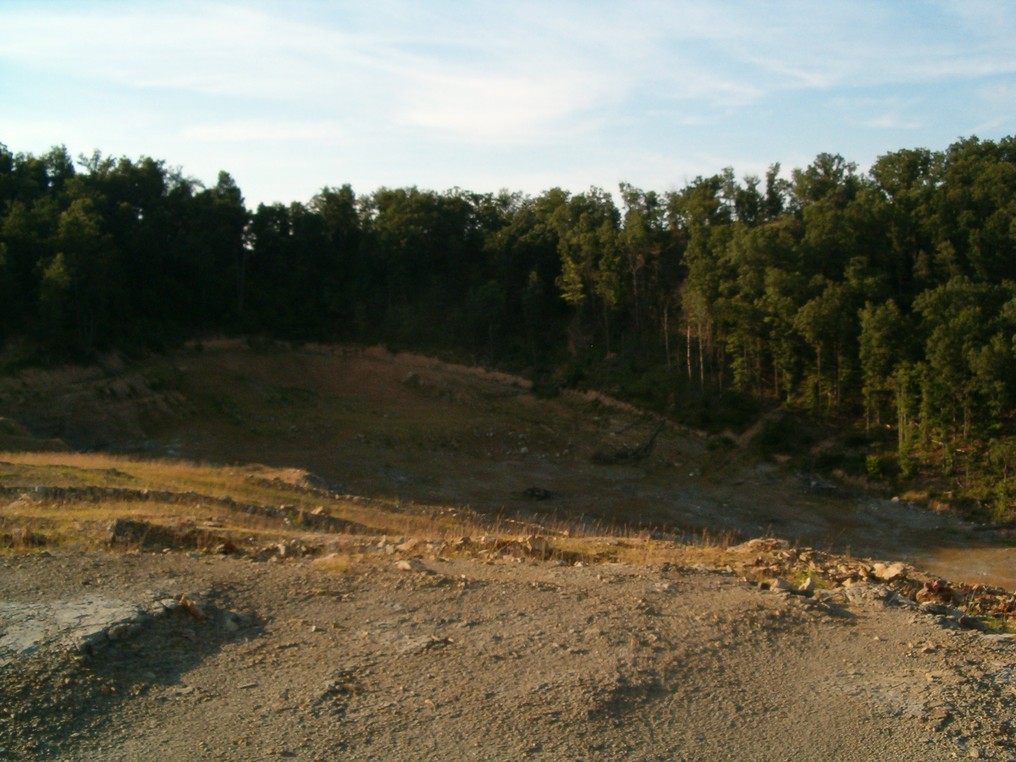
This is the blasted area hidden from view. One picture doesn’t really convey the scale; that immense Super Walmart nearby could have easily been housed here with room to spare. Tree removal has left the whole place ripe for destructive erosion. Gullies and mud pits already pock mark the entire site.
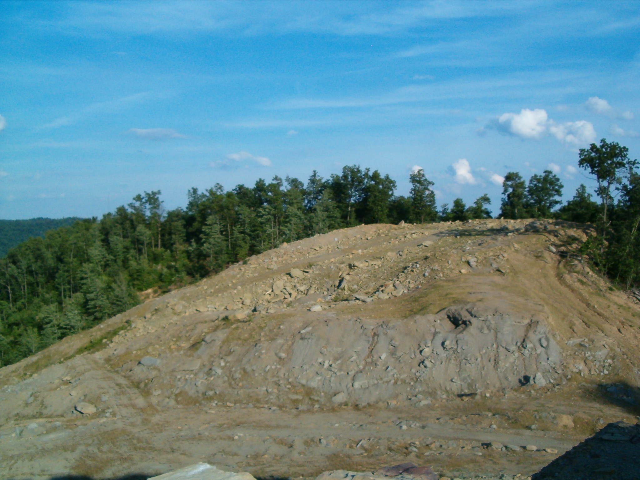
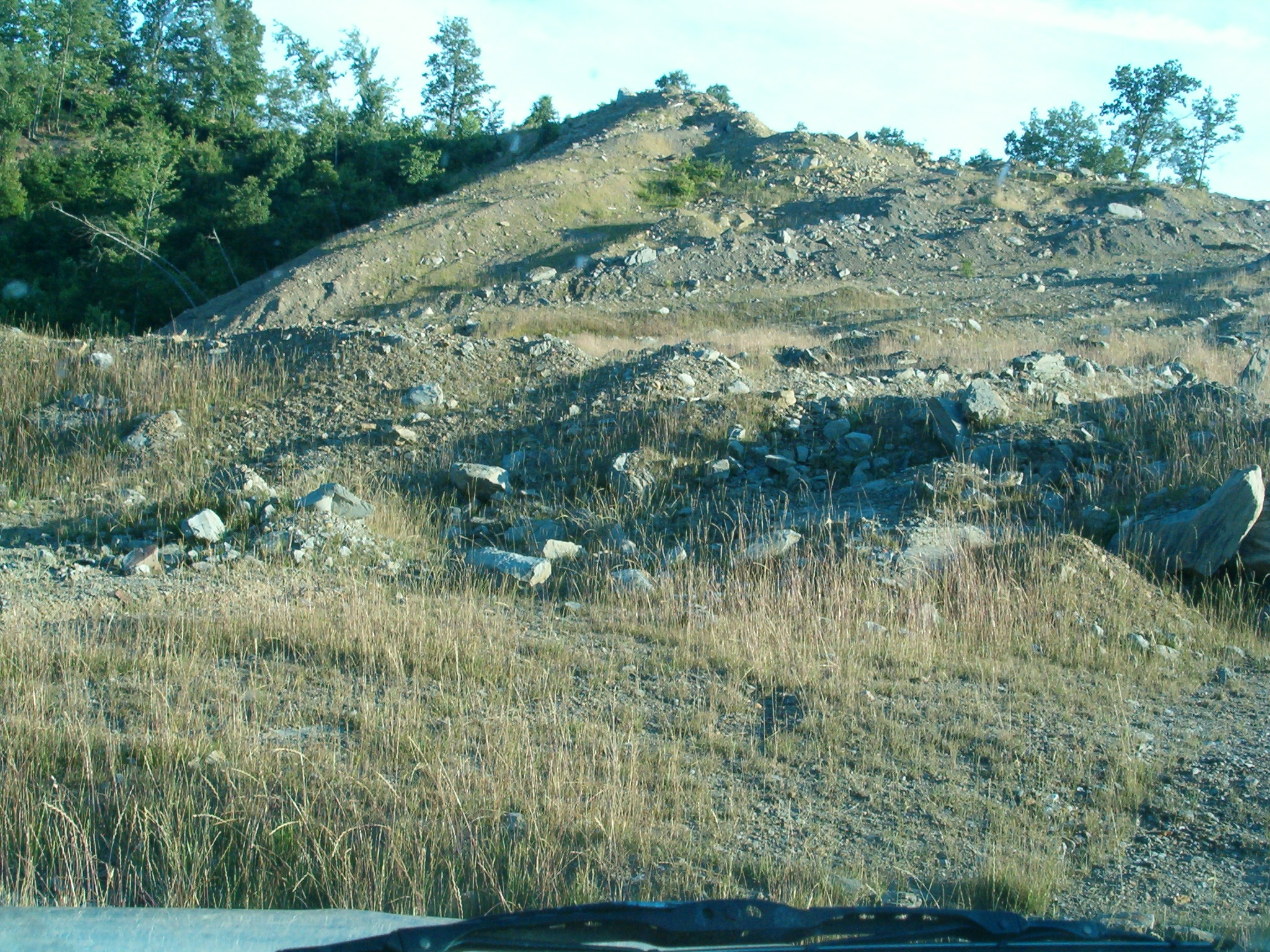
You don’t need any skill to get where I’m standing, but as far as I can tell only bulldozers have been to the knob in this picture. That’s about to change.
Climbing the north knob. As mentioned in the previous photo, it’s easy money so long as you pay attention. In dry conditions you don’t even need four wheel drive.
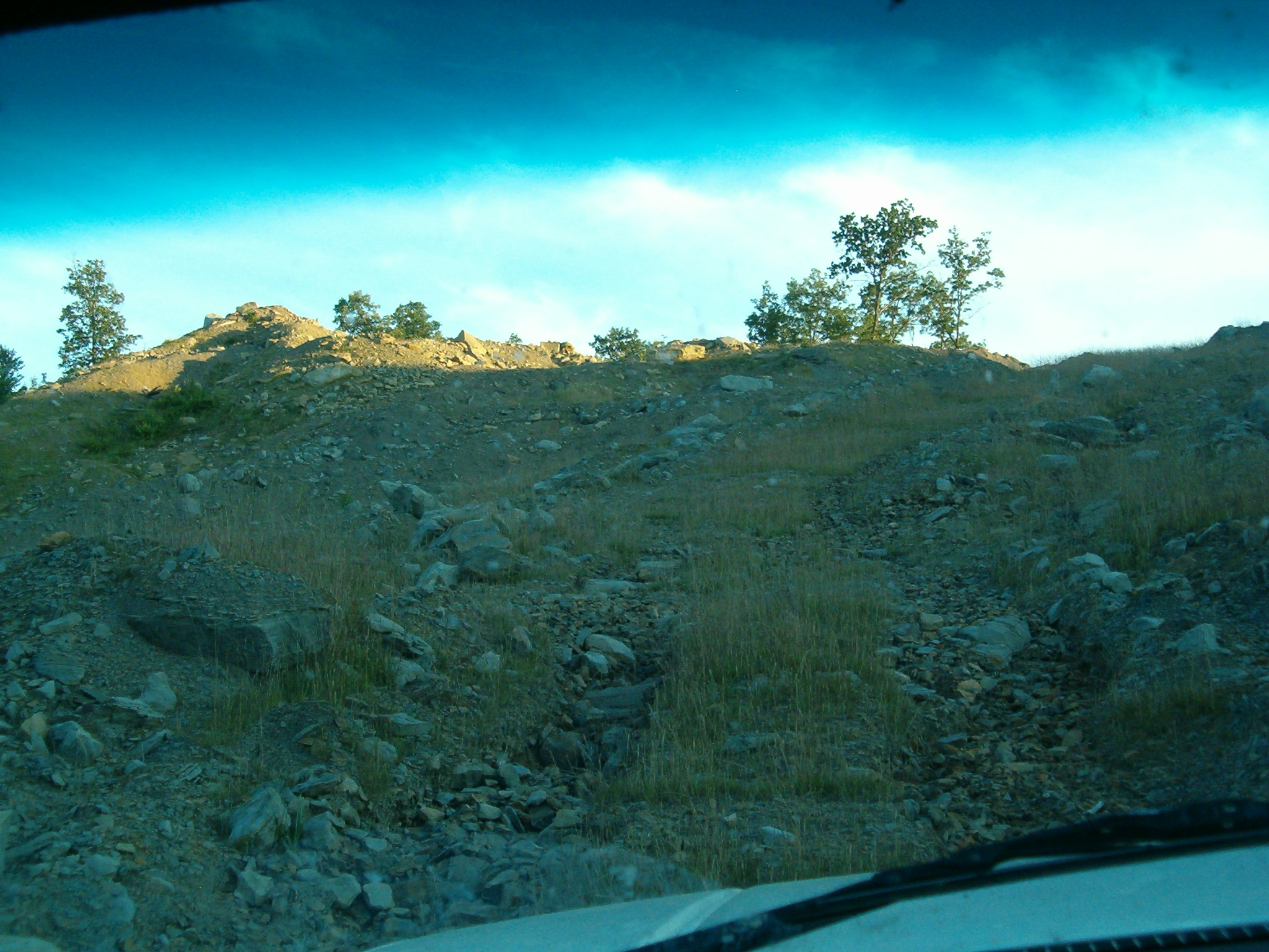
This sinkhole and ridge combo doesn’t look like much, but it was by far the toughest obstacle to deal with. I did In fact miscue and bottom out. With nothing to hook my winch to I had fall back on the old jack trick to get loose.
Scouting for a line.
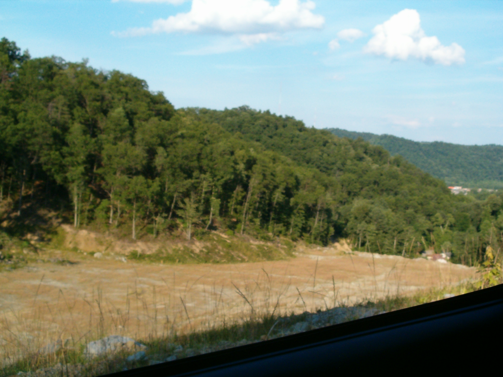
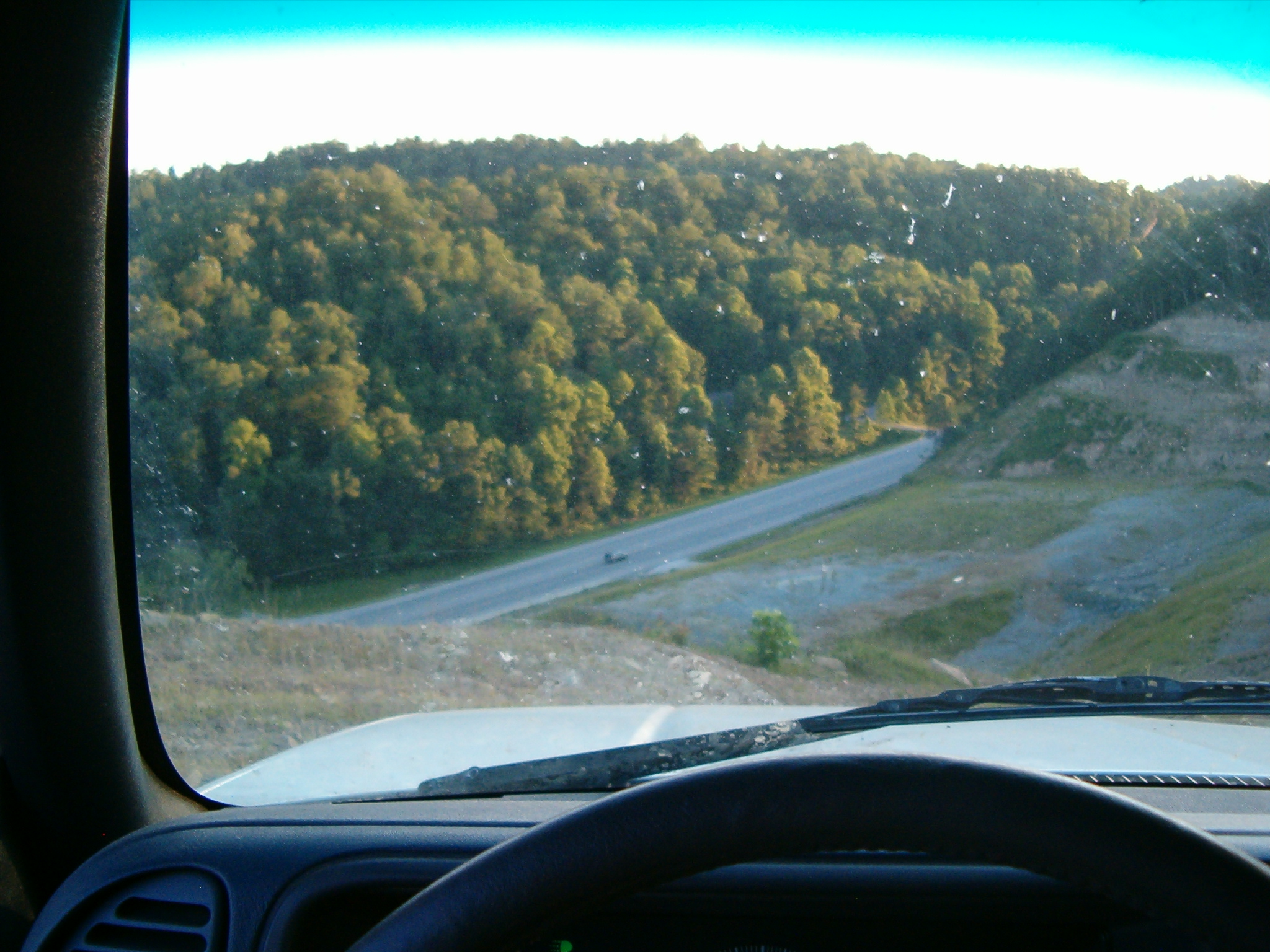
Next stop, the top of Rowan County.
I wonder if any of the cars down there noticed me at all.


