Cammy White

This blog has been long overdue for cleaning, and with discussion based classes kicking into gear its going to see quite a bit of mileage soon. Housecleaning includes unused media files, and oh boy are there plenty! One of the first items I discovered was a huge pile of photos acquired 2015-01-12 while taking a GSD named Cammy out for her first Winter.

Regardless of what some Winter haters may tell you, big snows in Kentucky are pretty rare and usually concentrated in a small area. I thought catching a good one in the Red River Gorge was lighting in a bottle, at least until the blizzard of 2015 blew it away, and the blizzard of 2016 blew THAT away. Alas, it looks as if 2017 will bring no such luck.

In any case, here are the shots. Better five years late than never, ne?

Let’s Go – When Christy Met Sandy

Around ten years ago, I was reading a topo map and decided it would be a good idea to run the length of Route 32 from Morehead (locally known as Christy Creek) to its terminus in Louisa. The unusual hook and touring through a somewhat isolated section of the Little Sandy River Valley had caught my attention.

Louisa itself also had an attraction for me. There lies the head of The Big Sandy River, created from the combined waters of Tug Fork and Levisa Fork – both having their roots deep in the storied peaks of Appalachia coal country. Sighting river features is just an old silly hobby of mine.

So, given a free afternoon, that random idea popped up and off we went. Well evening really. Got a very late start and didn’t even hit the green flag till ~17:00.

End result? Road ran, rivers found, pictures taken, train dodged, and even made a new canine friend in the next state. Not a bad Independence Day ride I’d say. Until next time!

DC

Perfect North – 2011-01-28

It’s about time I posted something here besides work notes, so how about a little Winter levity?

After several attempts this season, we finally managed to get an evening trip to Perfect North Slopes going. As usual, it was a blast, and made a great test for my new Hero Cam. I’m hoping to go back soon with a larger group. We usually try to leave right out of the office on a Friday after some snowfall. I have room for five in my Tahoe, so if you want to join in or meet up, give me a shout!

DC

Morehead And A Long Licking

I am planning an excursion to run the Middle and Lower Licking river from Morehead to Cincinnati/Newport. While I am preparing and expecting to do so alone, I’d be happy to have some company!

Starting point will be the boat ramp at Cave Run Dam spillway. Endpoint is Schmidt Boat Ramp, located river right approximately 1 mile upstream on the Ohio from Licking River confluence. Travel time will be approximately 5-6 days with a planned stopover at Blue Licks and resupply at Falmouth. Other possible portages are being researched. The Licking River is a class I difficulty river, with occasional swift current and strainers but little to no white water. Of greater concern will be portage and supplies as most of the river flows through private farms.

If interested, please leave a comment on this post and the your best possible times. Plan is for September, but can be pushed as far as mid October if needed. Cincinnati ramps close on November 1. Further details will be added here as they become available.

Dam, Dix & Dan

Busted feet aside, the night time run I took for July 4th was actually more fun then I expected. There is just something very serene about being on the water at night.

Owing to that, I thought heading back to the hometown for some night paddling on Cave Run would be even better. No city lights and no dodging barges. Typical though, the feeler I sent on Facebook to gather some people to join me got utterly ignored. Even the CRACK club didn’t take any interest.

So instead I decided to explore the Dix River via High Bridge Ramp. A simple run really, but it had a lot of interesting features. The first of course is High Bridge. You can’t appreciate the engineering accomplishment and scale without seeing it up close.

Next was the Dix River confluence. At 77 miles long, it’s the only major river left tributary of the Kentucky River. Two miles upstream from the confluence is the Dix Dam, which forms Herrington Lake. It’s a relic today and looks the part, but when built it was an engineering marvel and technically still is. At the time it was the largest earth fill dam in the world.

One of the downsides of my exploring style is that I usually know everything about a place before I get there. Since I’m nearly always alone, I have to make sure I’ve done my homework on an area first. The Dix is an exception, and that is what made it interesting. There is almost no detailed information available. All surrounding land is privately owned by local residents or Kentucky Utilities and public access by road is all but non existent. Even Google Earth doesn’t have a good image due to the power plant’s exhaust plume.

This meant I had no idea what I would see. I imagined the approach to be nothing but concrete and rock fill, with a generally “artificial” feel. I guessed the outlet was probably a sluice like spillway tunnel feeding an impassible churning suppression bay similar to Cave Run’s. Considering the barbed wire security KU employs in the surrounding area, one would think it would all be blocked by water fences and guarded anyway. I had also pictured the area to be devoid of interest by anyone other then myself. Who cares about exploring an obsolete dam on a river tributary in the middle of nowhere?

As it turned out, I was dead wrong on all counts. First, the dam itself is easily approachable; its powerhouse sits right on the water, and there is no sluice. Instead a fish ladder and spillover outlet provide drainage when the turbines aren’t in use. So rather then churning, the water is in fact perfectly flat. There is a still a strong exit current; far too dangerous for a swimmer. But it’s nothing a half decent paddler can’t overcome. The end result is that not only can you approach and touch the dam, you can actually go inside of it. I was able to paddle right under the outlet archways and look directly up the turbine exit pipes.

As for the area, it was anything but artificial. The geography has been virtually untouched, and if you didn’t already know the dam was there its sudden appearance around a bend would be quite a shock. Pristine palisades and waterfalls were at every turn, and wildlife was abundant. About the only evidence of anything man made was the water temperature change. As is typical for any deep lake discharge, the water is quite cold for some distance downstream. The change is very sudden, in less then 10′ of travel the temperature drops almost 30 degrees. This also causes a near perpetual cooling breeze and heavy fog at dusk. All in all a very pleasant experience compared to the “bath water” you’ll find in the Kentucky River.

That cold water also brought me the last surprise. Company. As it turns out, it is a popular area for trout and hybrid anglers. I met about a dozen individuals on the way up. Most were in Johnboats; they could only get so far upstream due to some rapids. But one was a fellow kayaker named Dan who was fishing at the dam basin. Dan is a veteran of the area and had put in at the same ramp I did. After some further exploring on my part and fishing on his, we headed back down stream together at dusk. I’m used to running solo, but it’s nice to have some company now and again. A storm popped up on us just as we got started back, but thankfully it mostly blew over.

A good day overall. It was well past dark by the time we made the halfway point back, but that was fine with me since I originally wanted to go after midnight in the first place. Dan tells me that had the moon not been out he would have probably stayed up river all night. According to him, the bass bite like crazy on moonless nights. I’m no angler, but I do like me some fish. I might have to head back one evening and give it a try.

DC

Firework Shows, Concrete Floes & Broken Toes

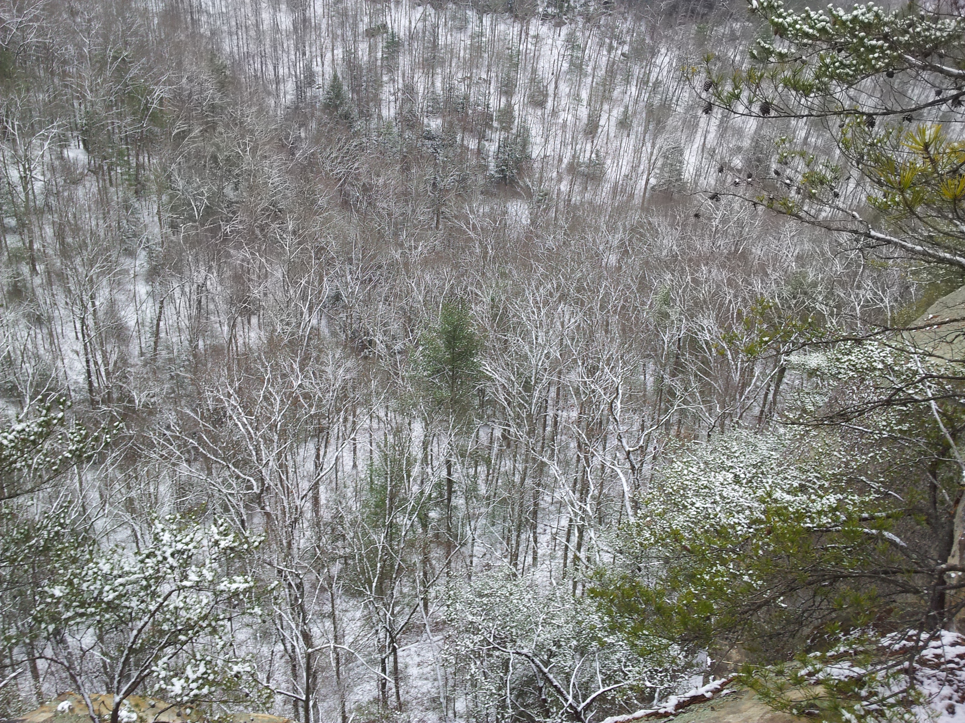
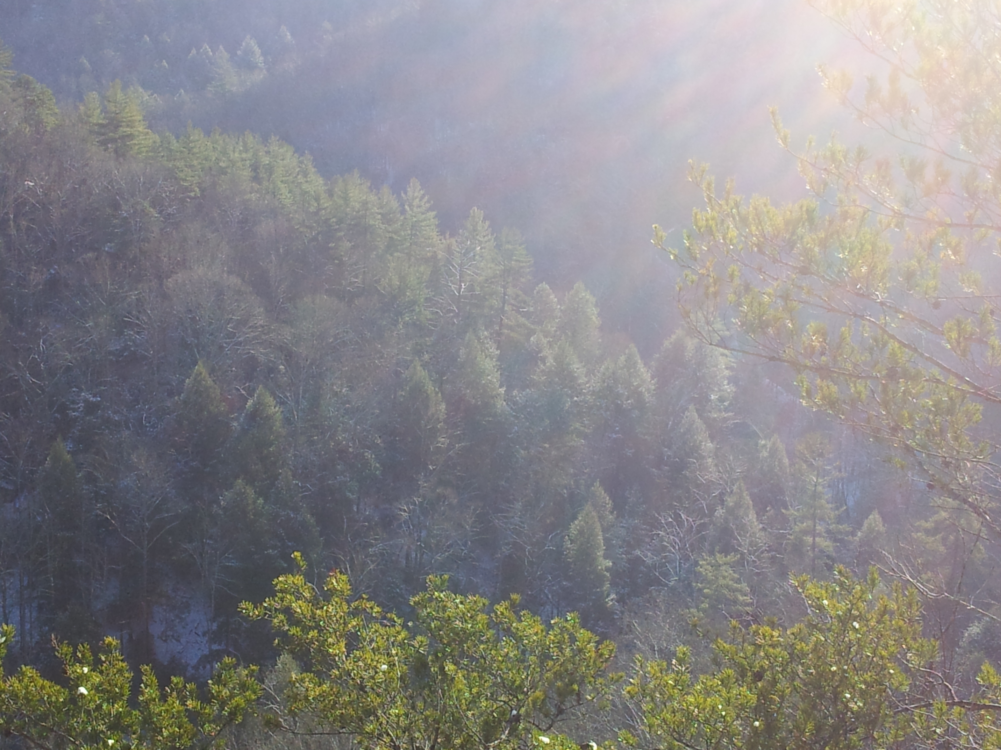
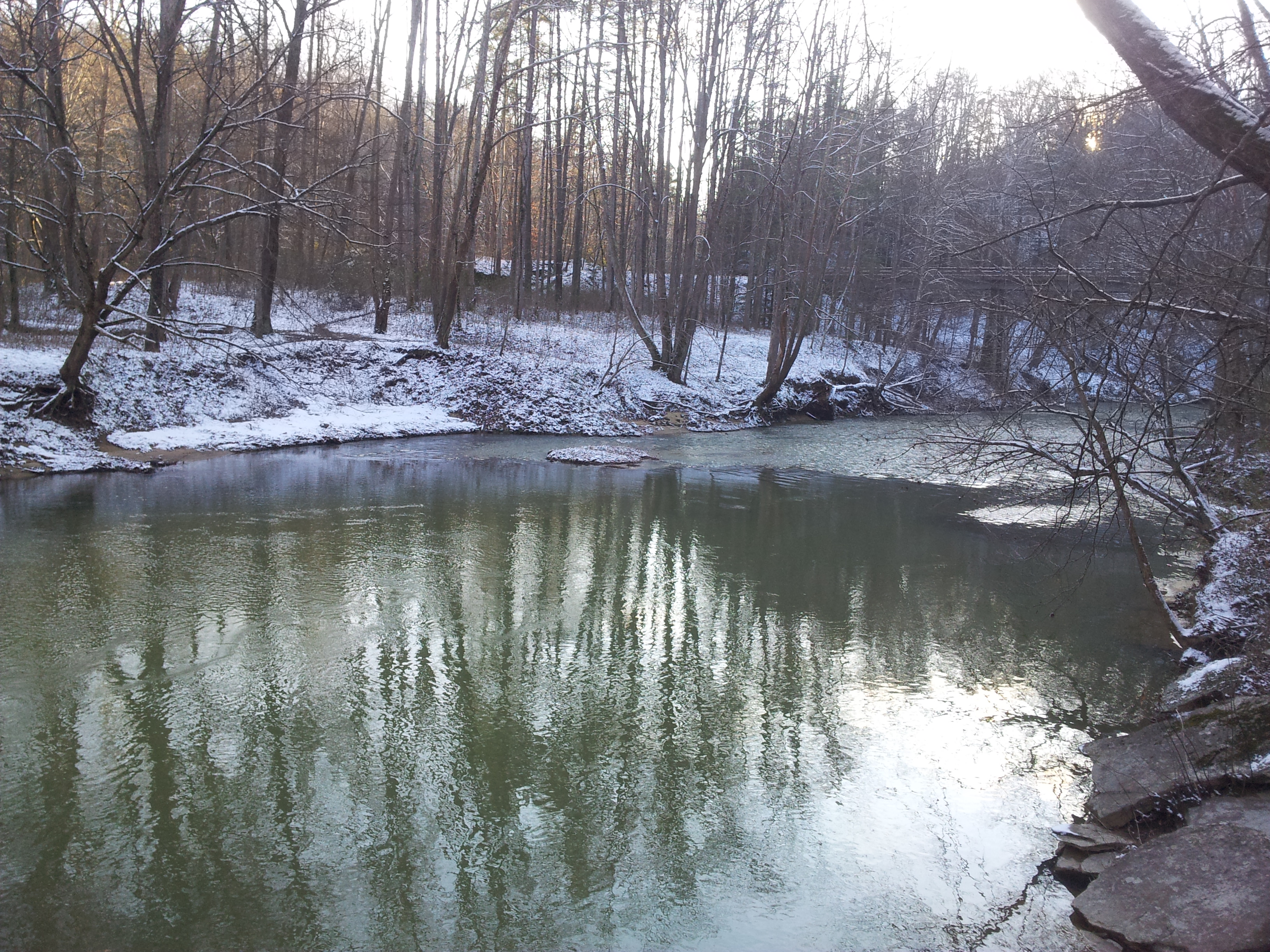
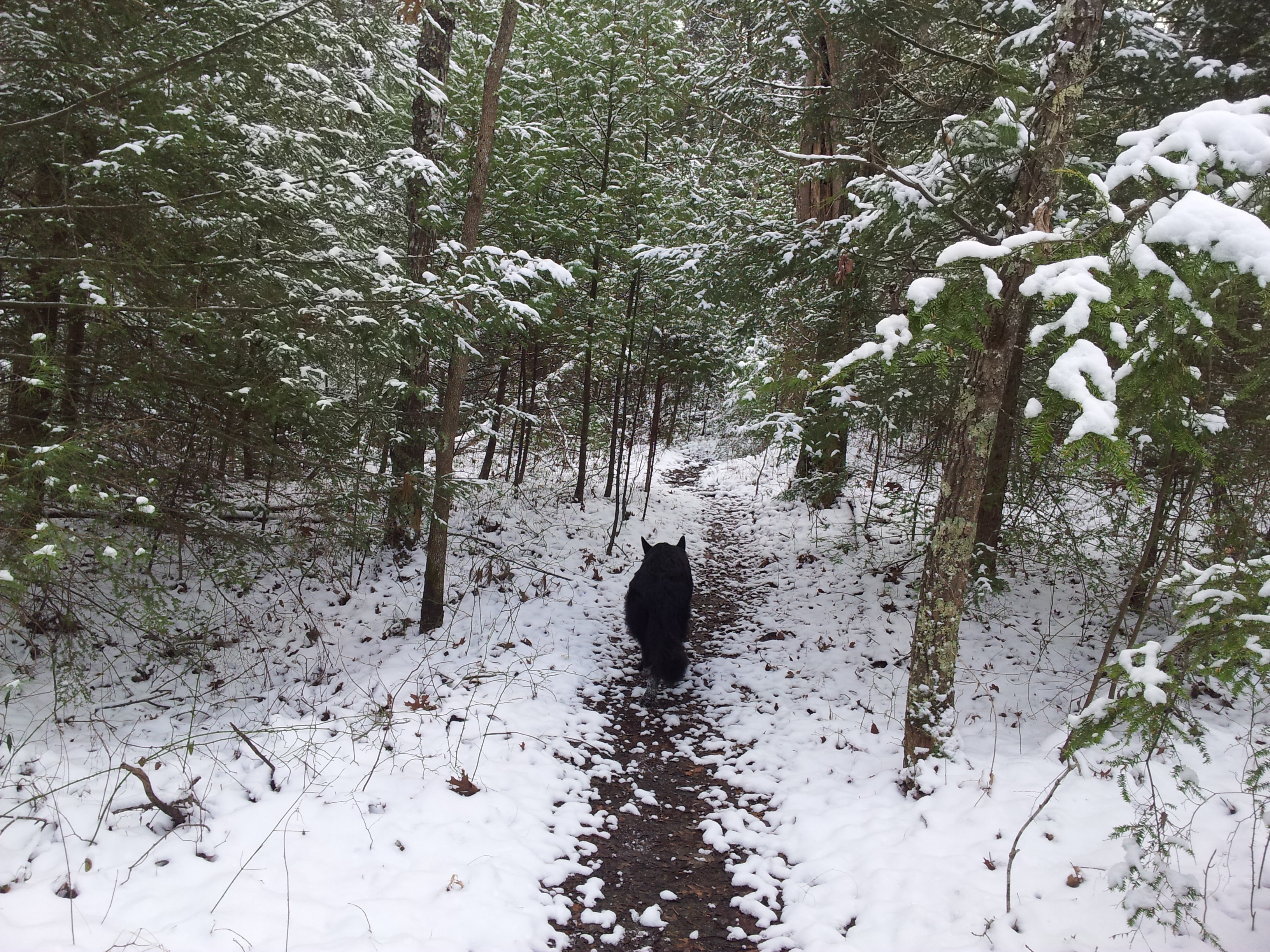
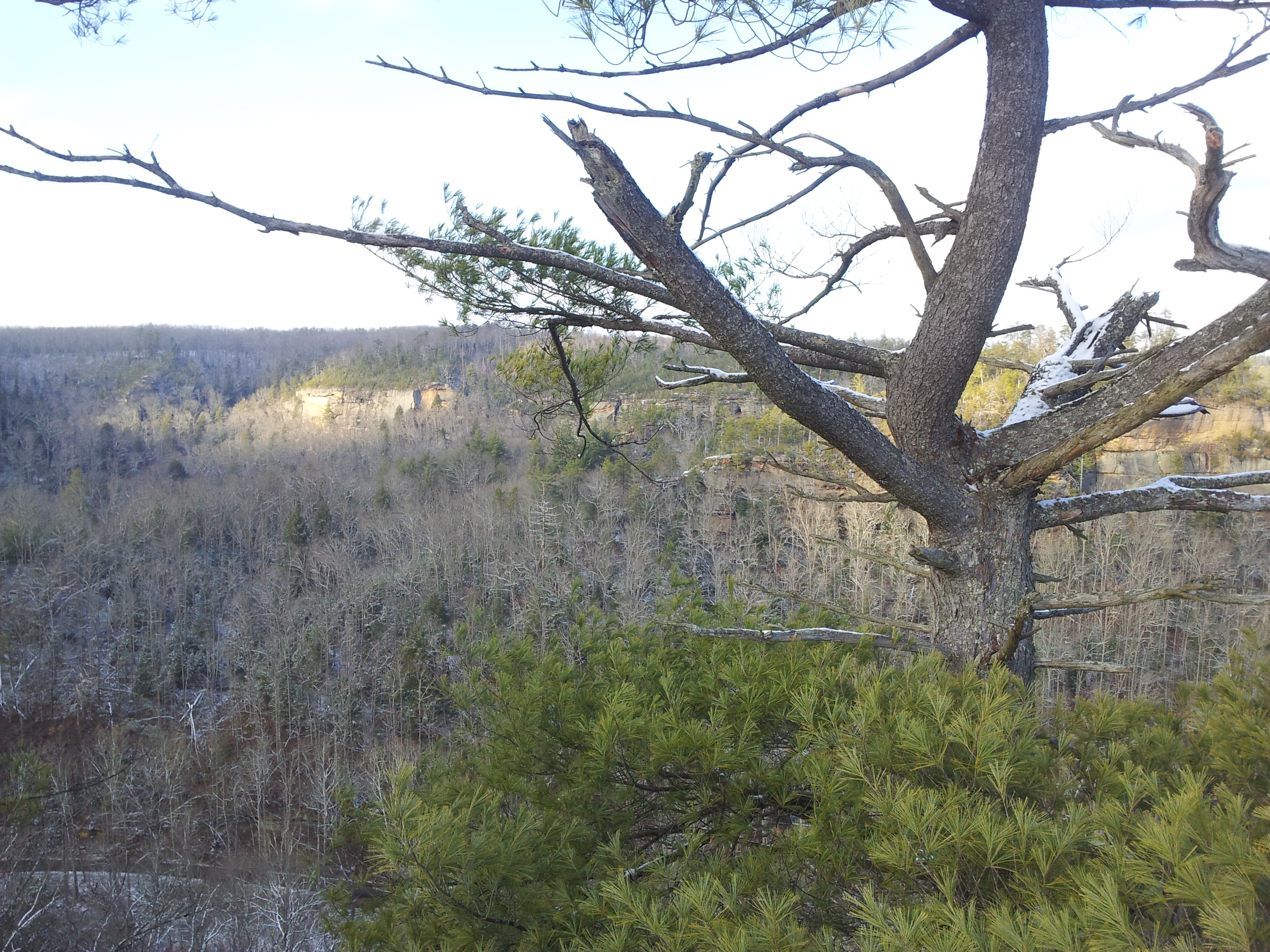
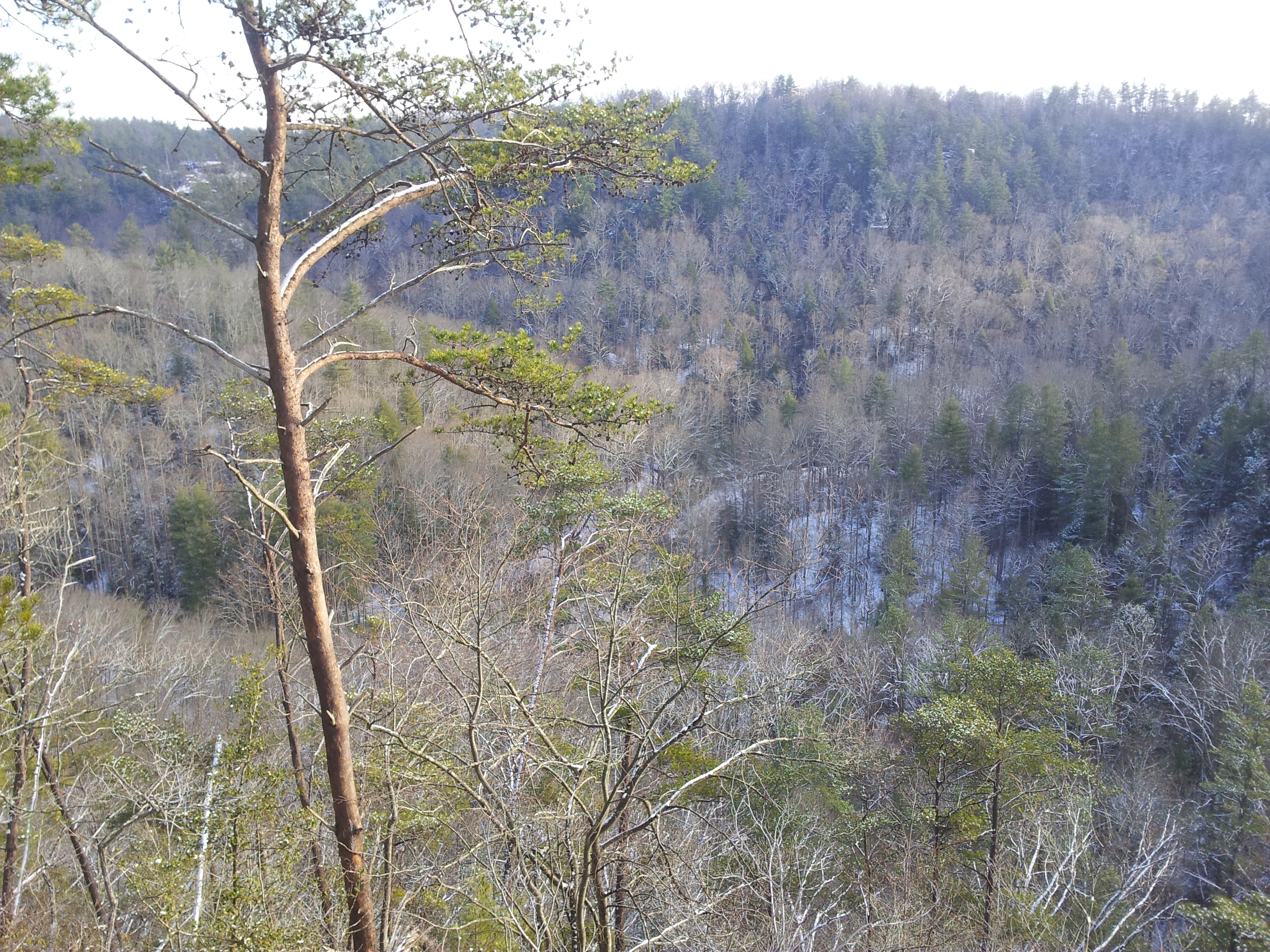
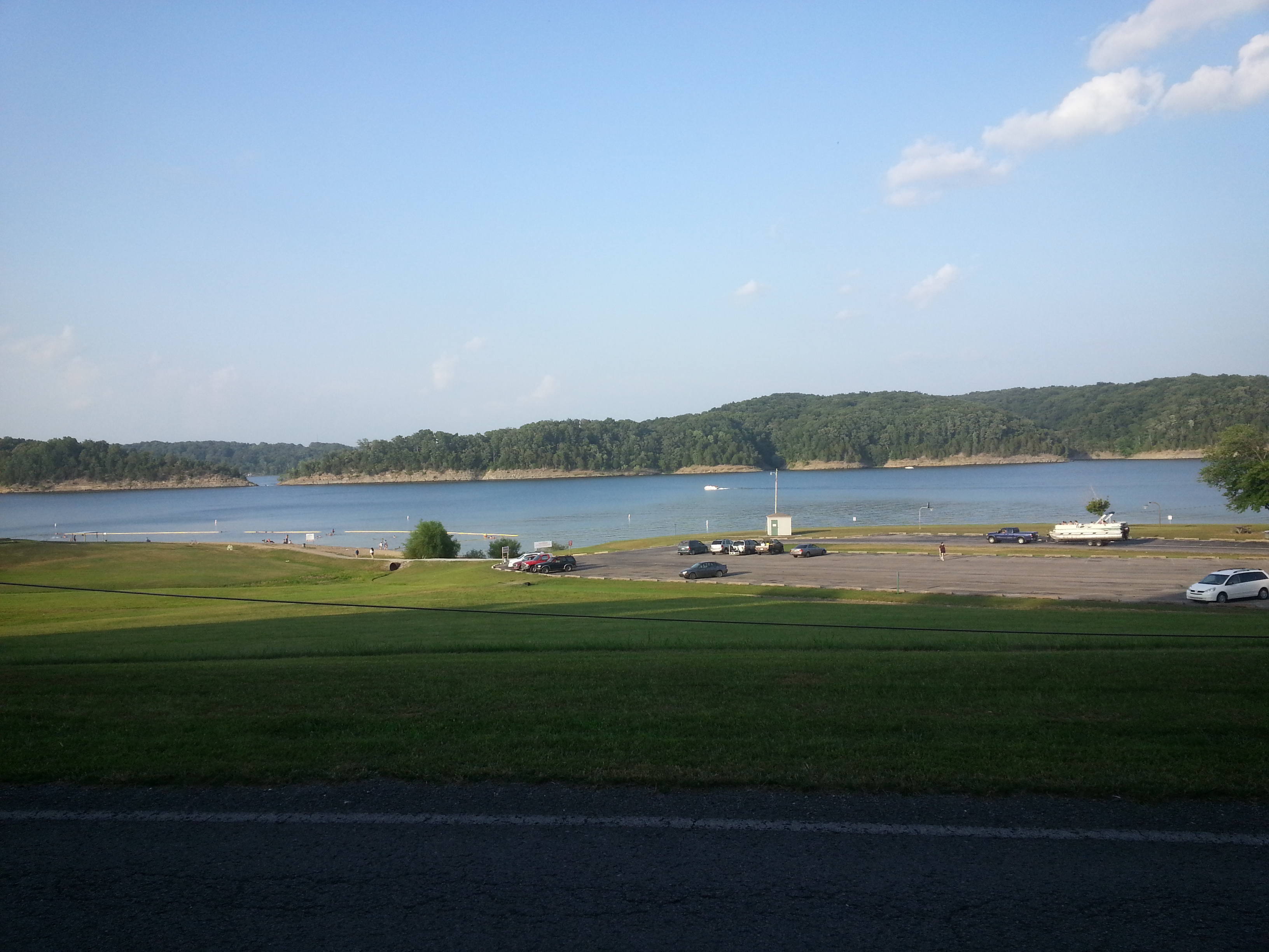
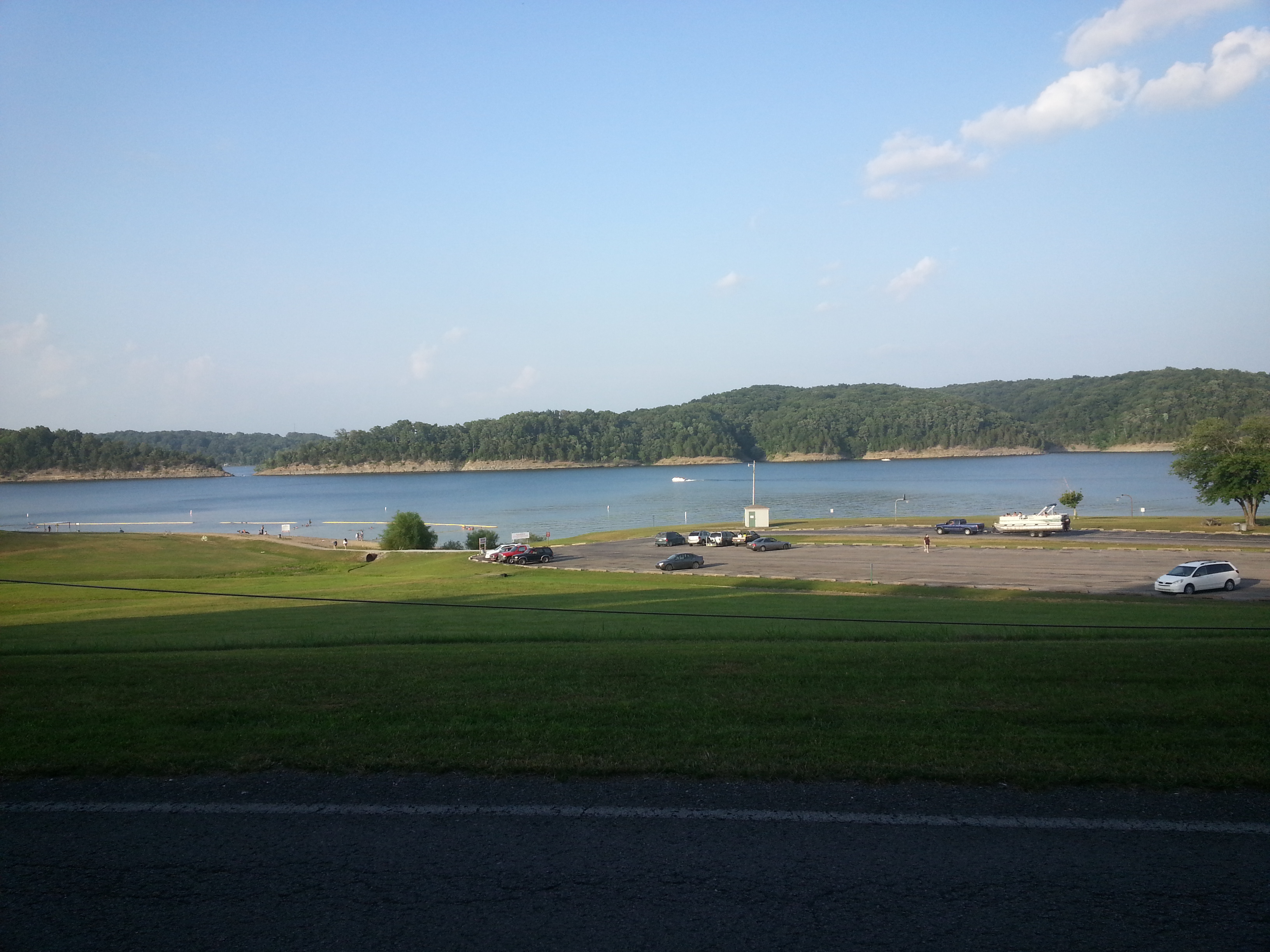
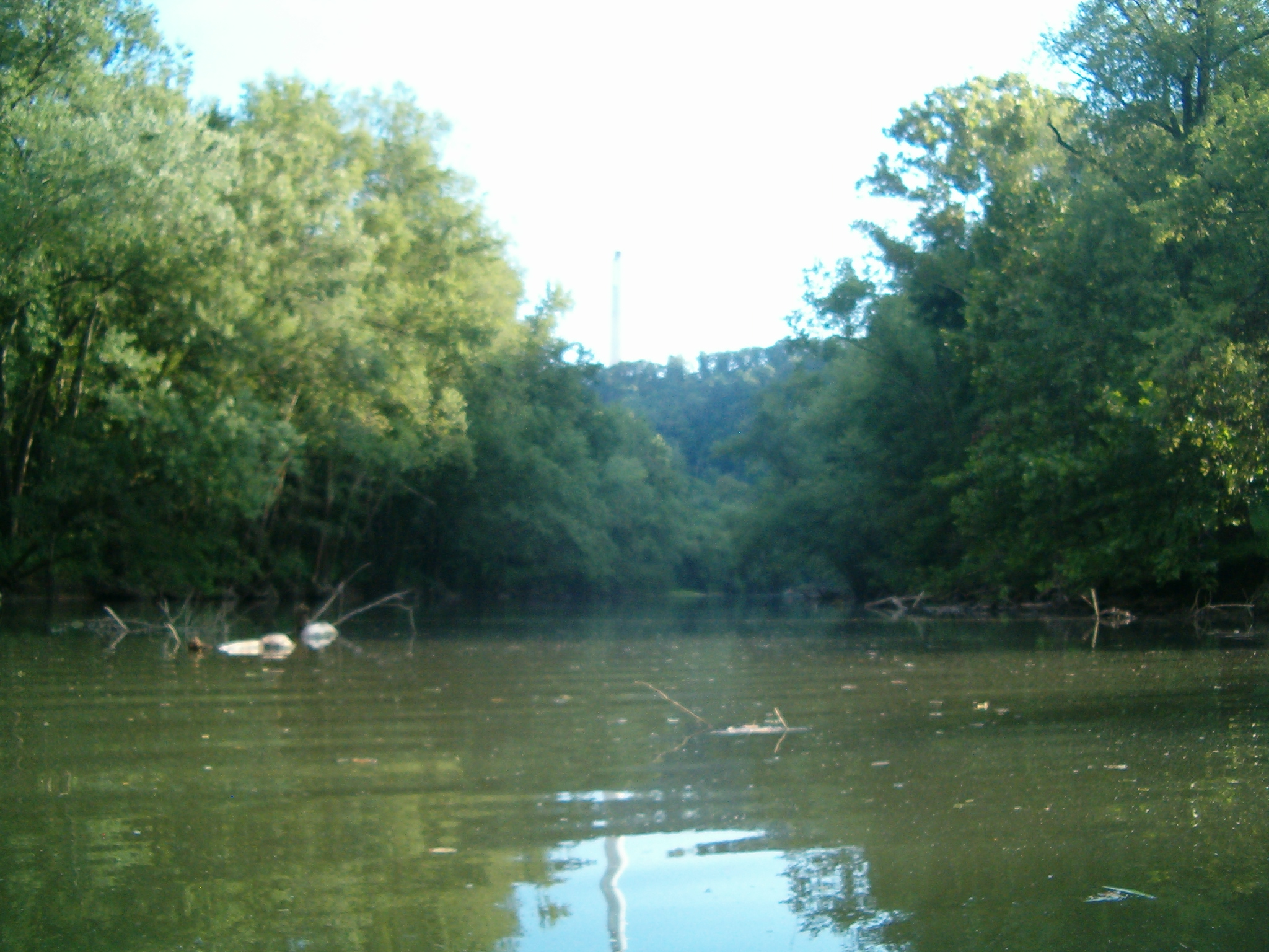
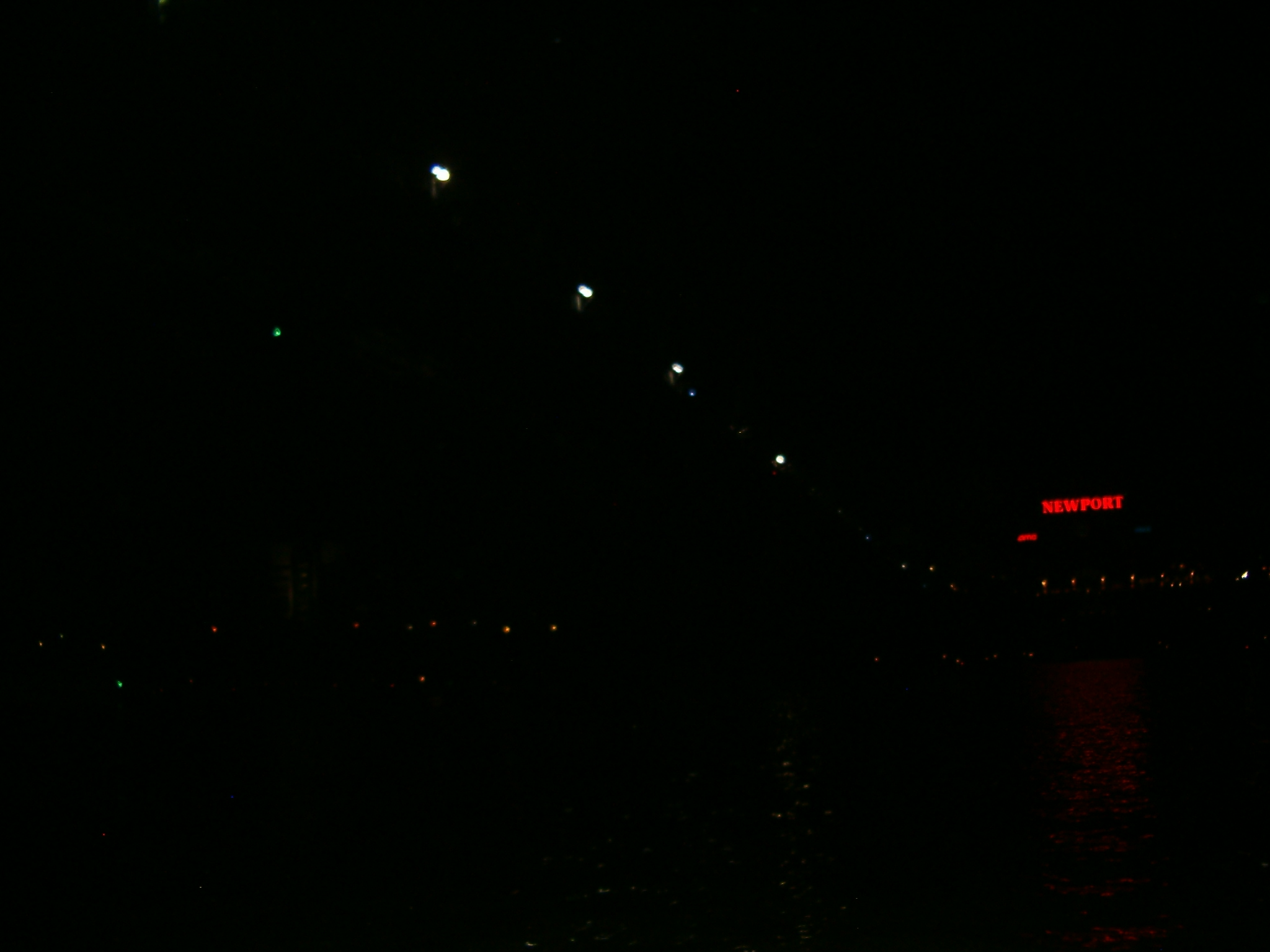
July 4th found me home alone while Nichole and the kids visited her family. Having wasted most of the day, I decided kind of last minute to see the Cincinnati Fireworks display at Newport on The Levee. I remembered last year when we took the kids there it was a blast.

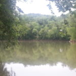
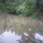
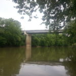
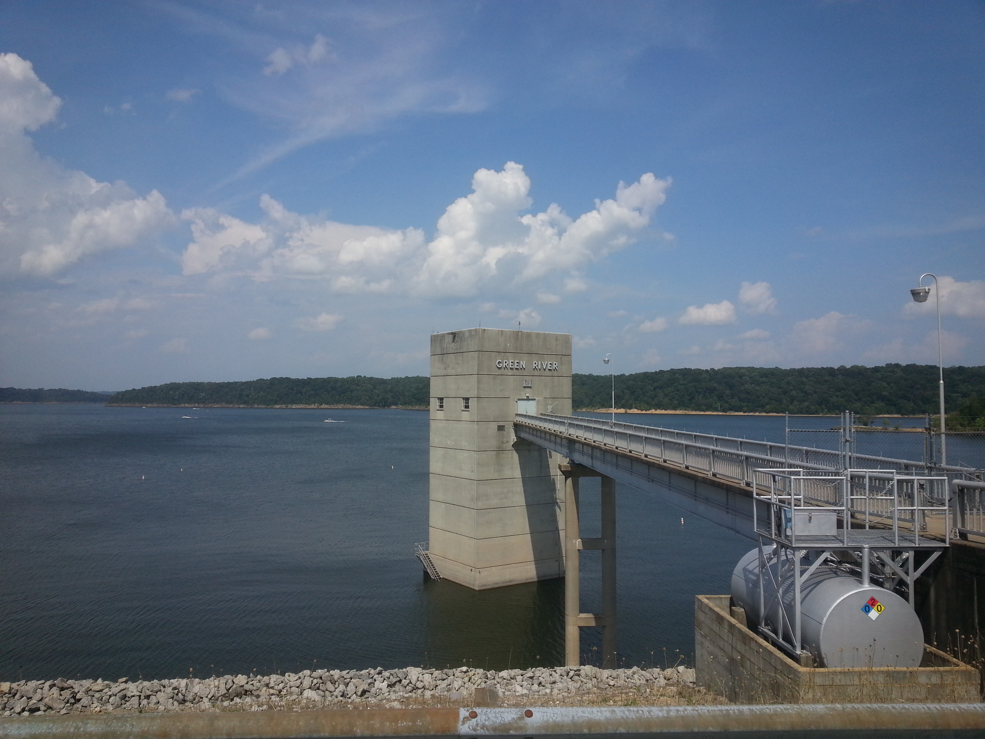
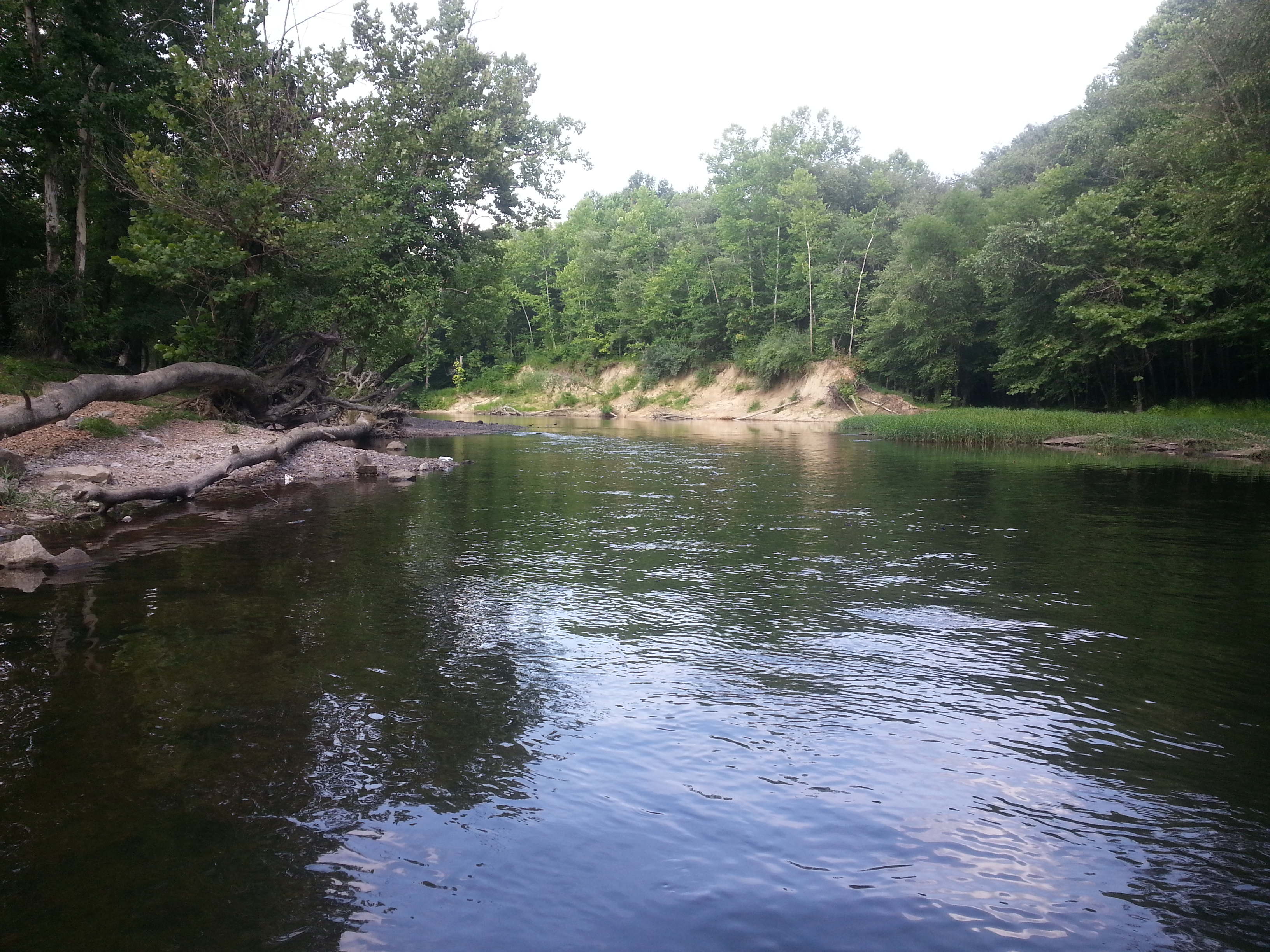
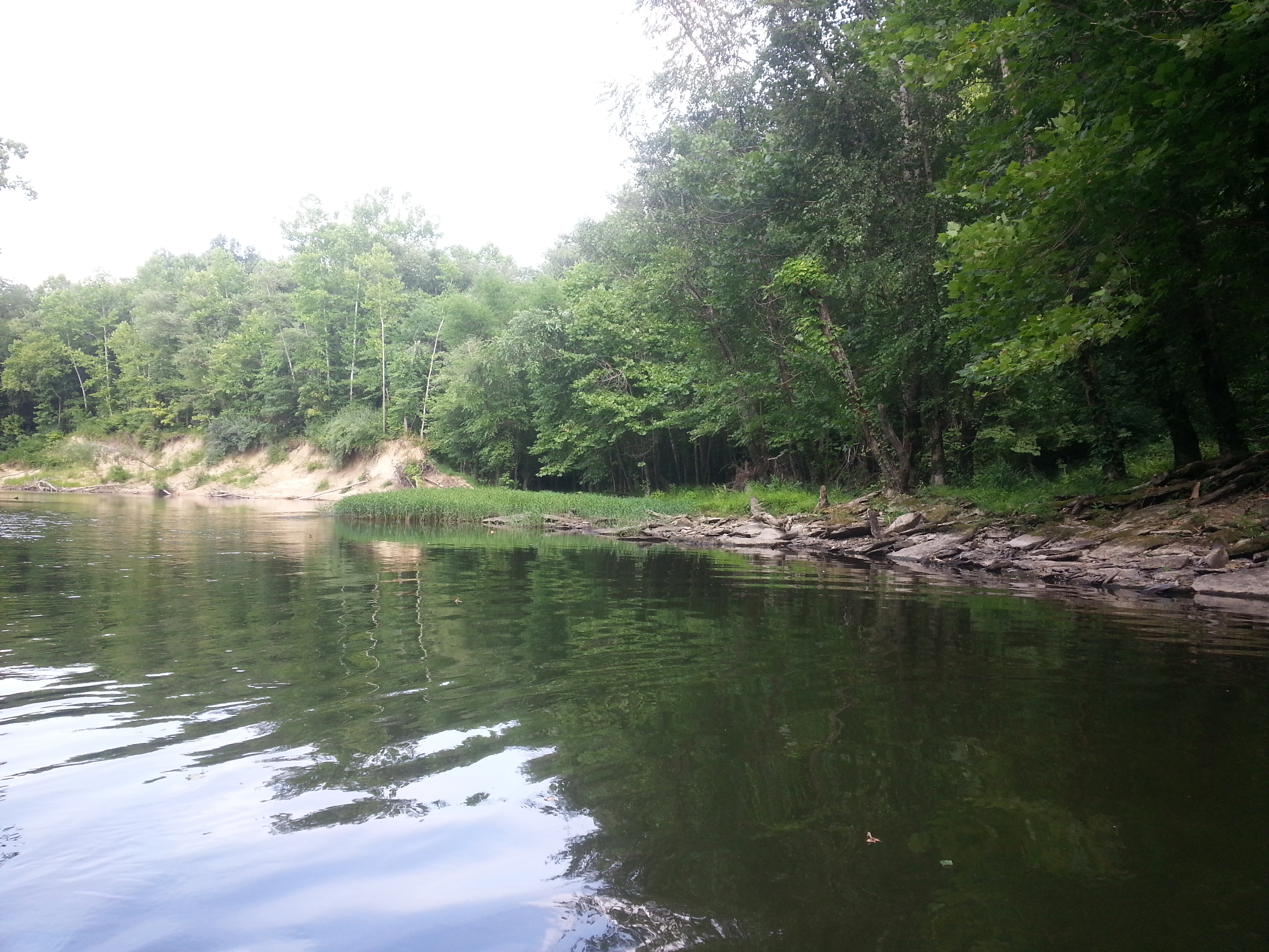
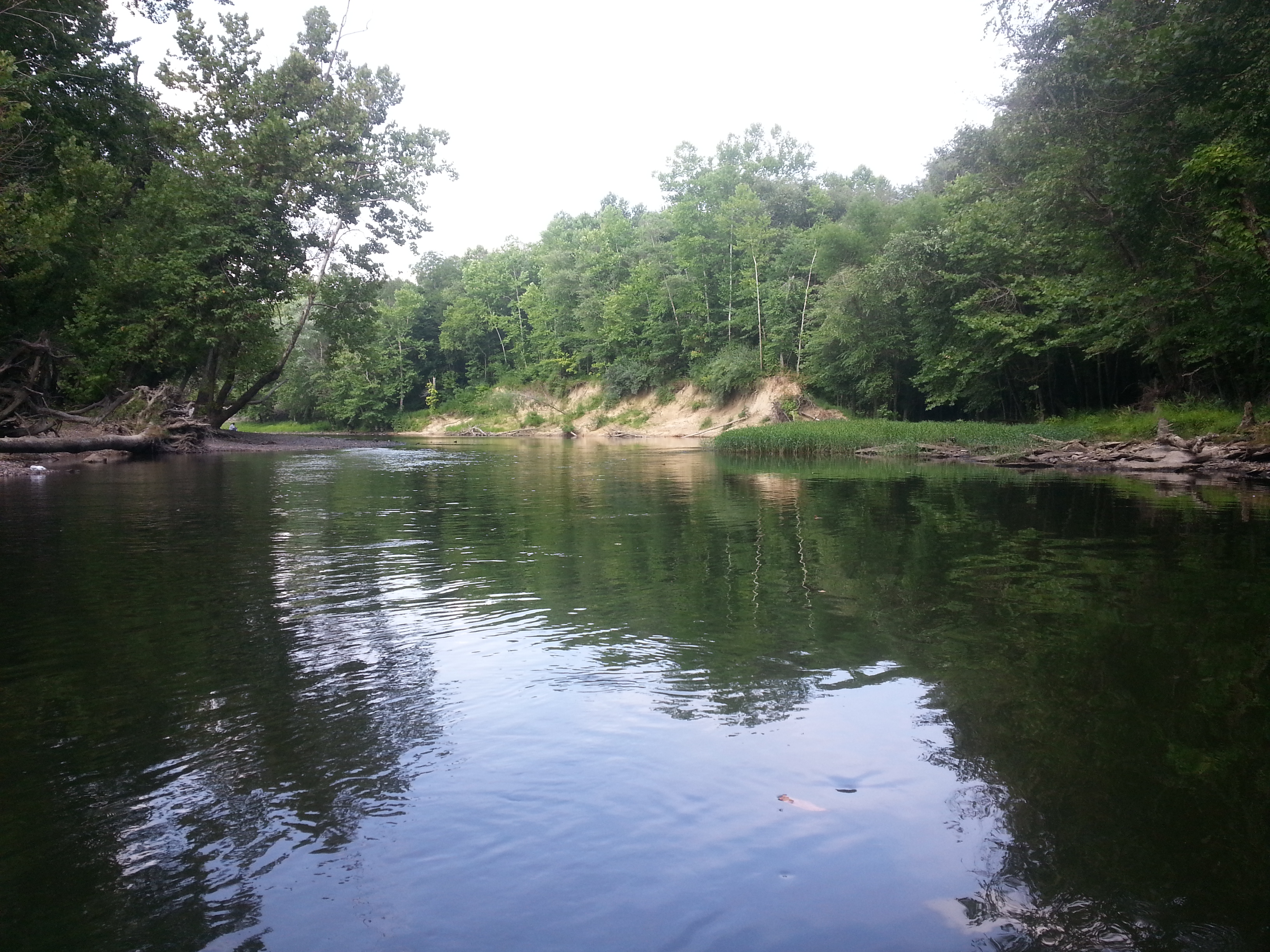
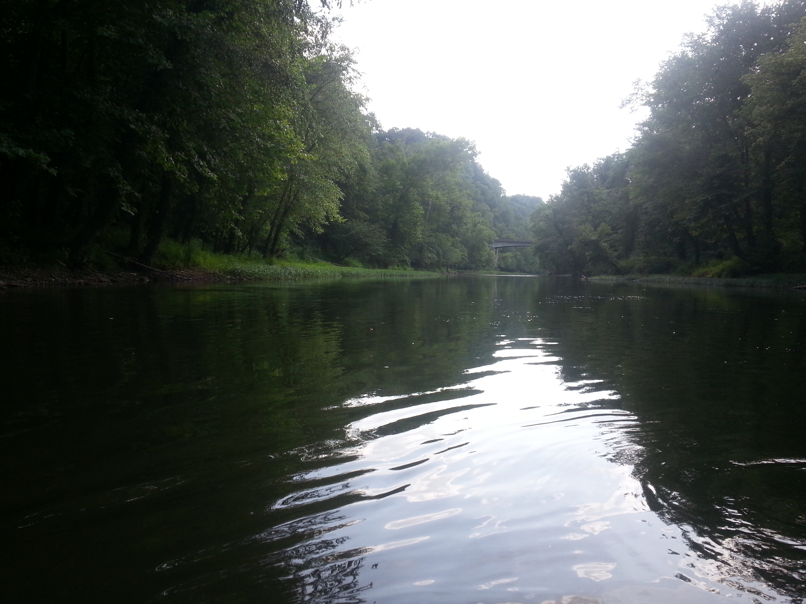
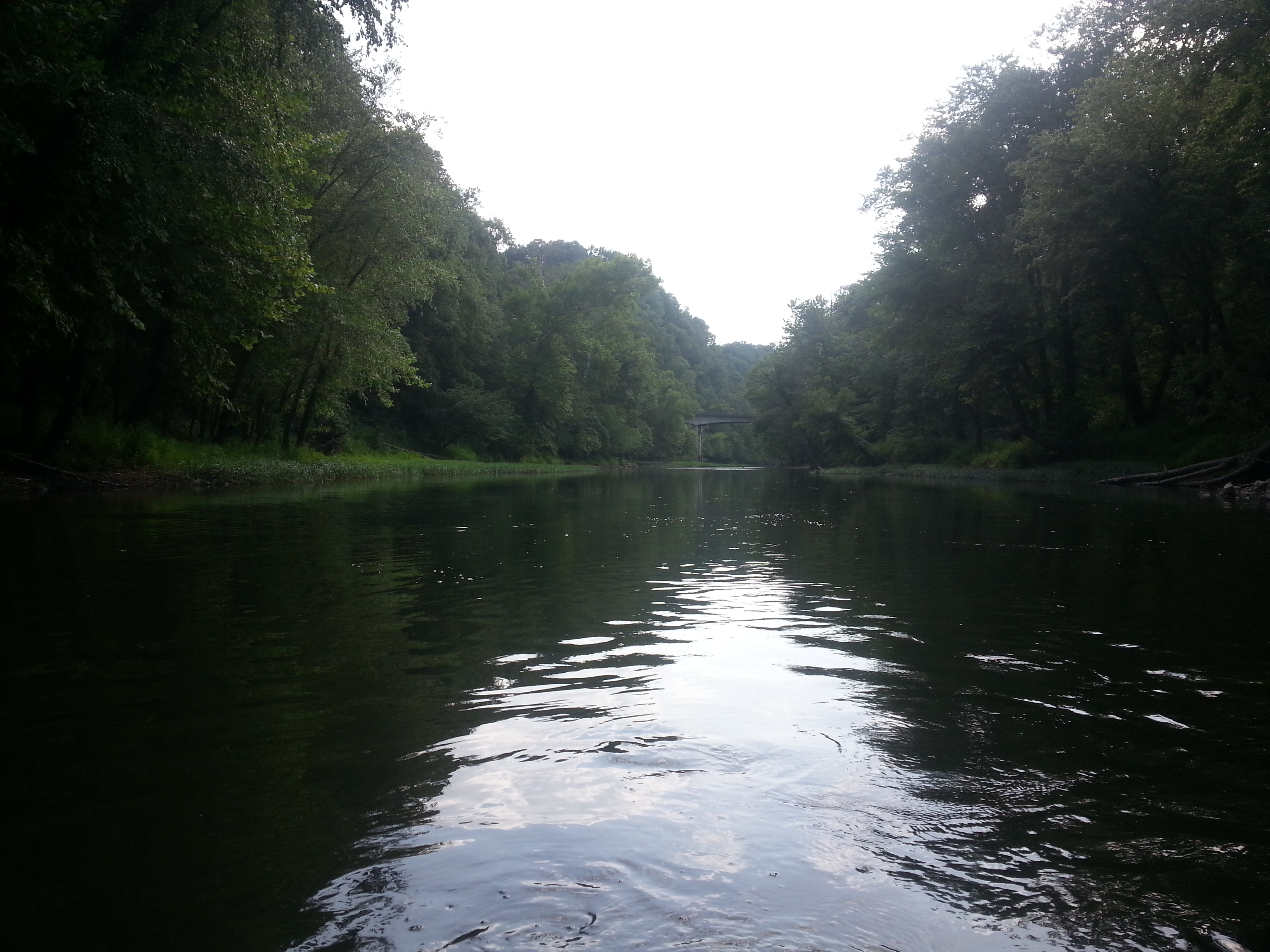
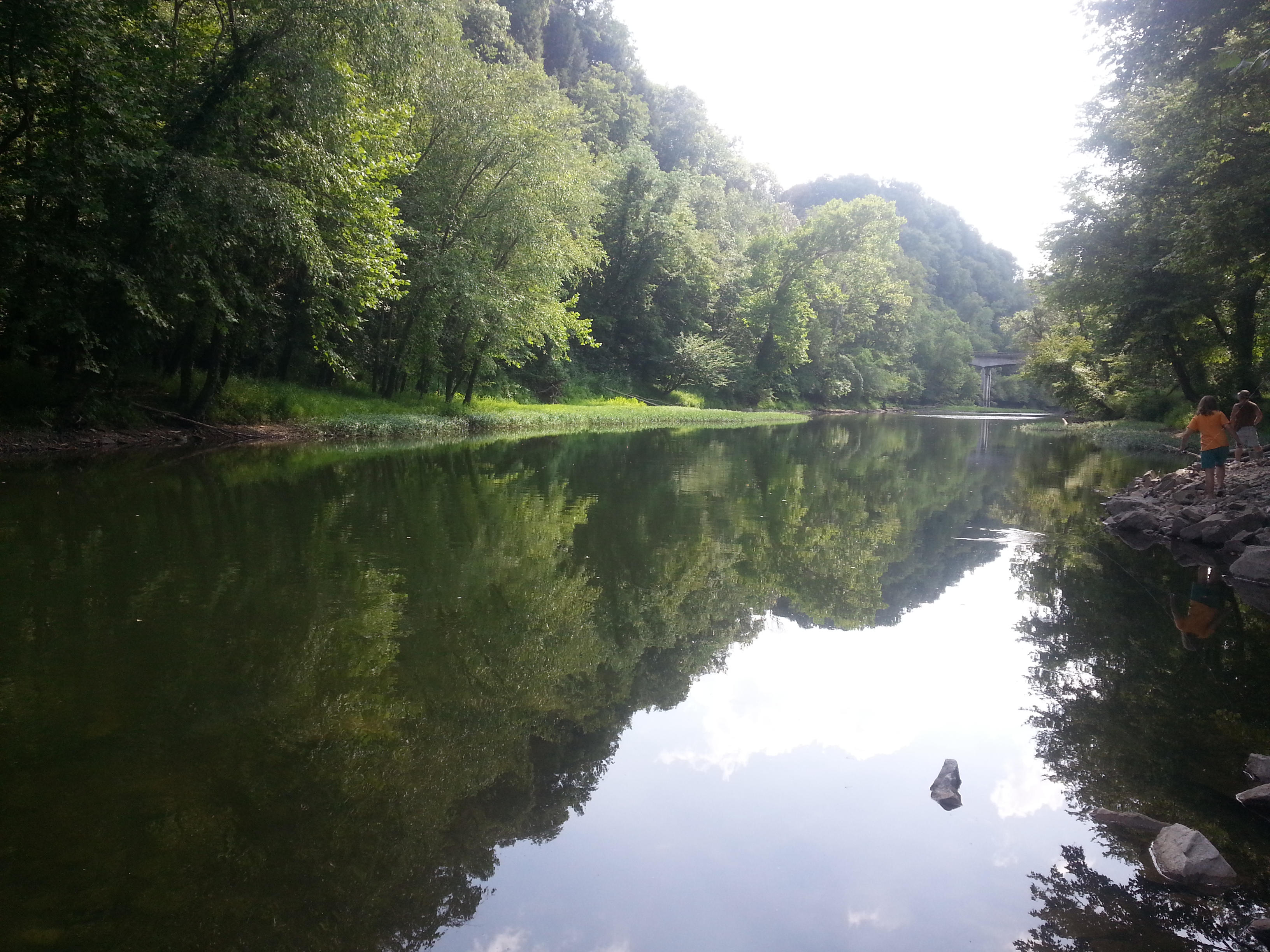
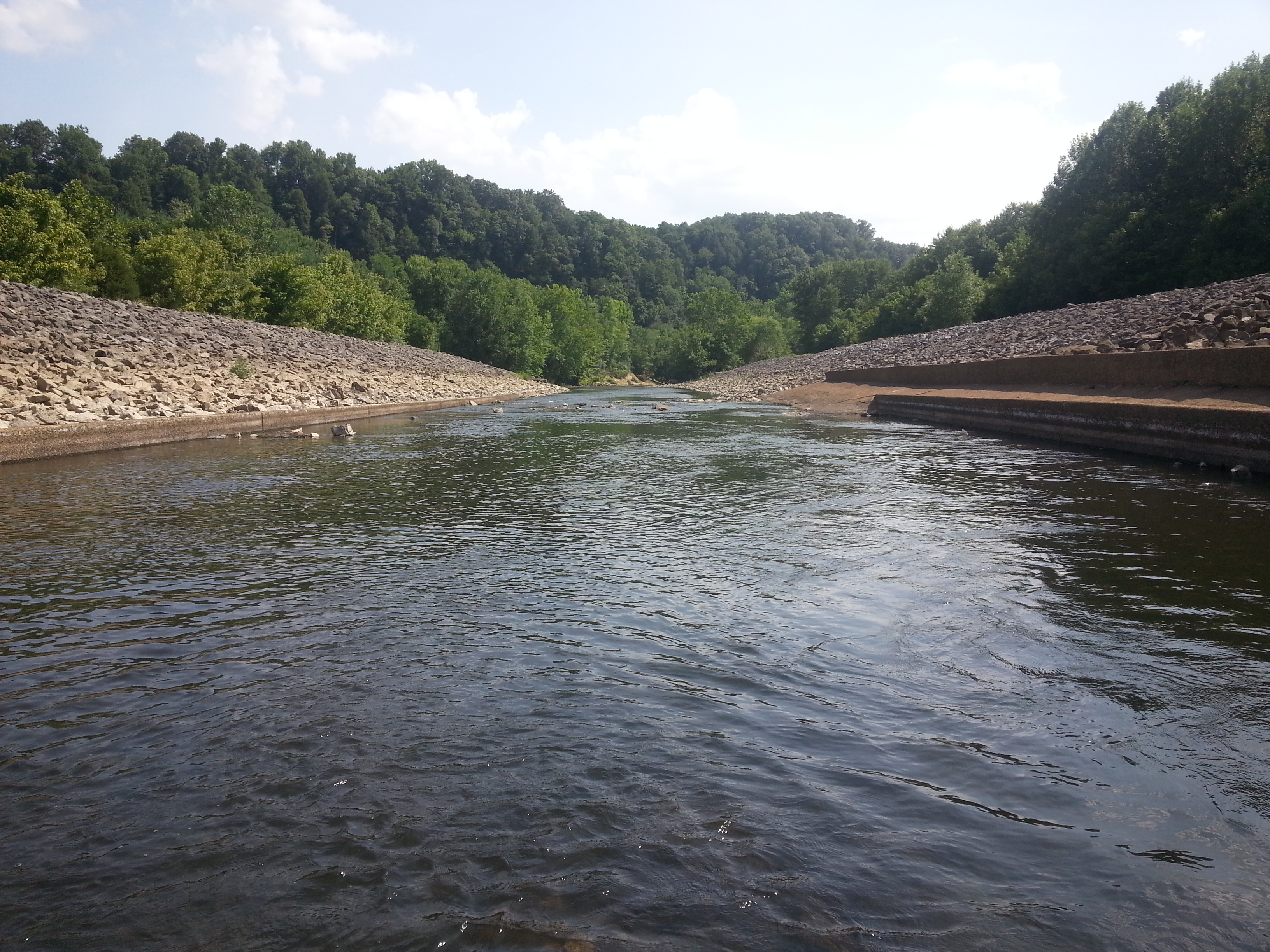
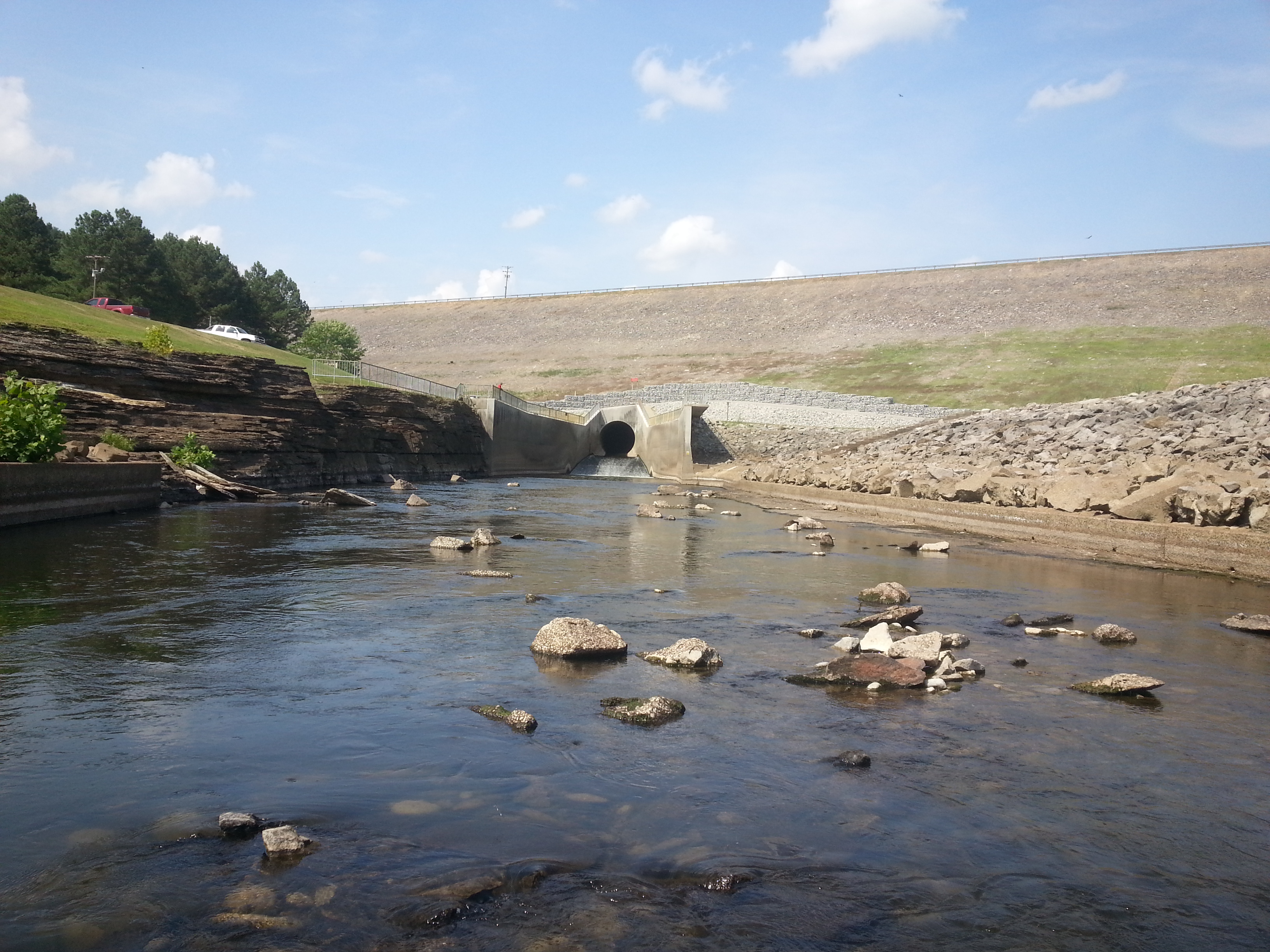
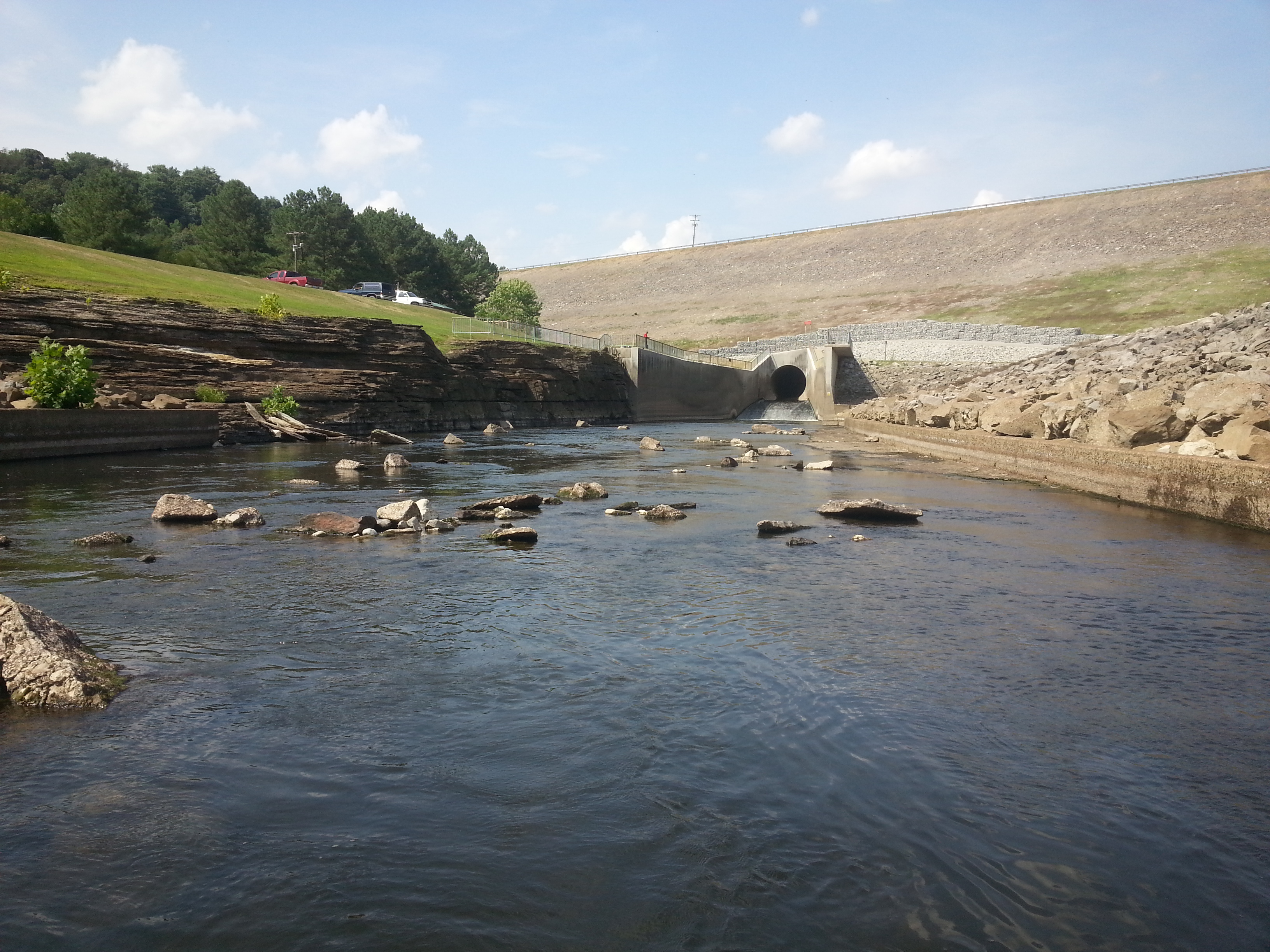
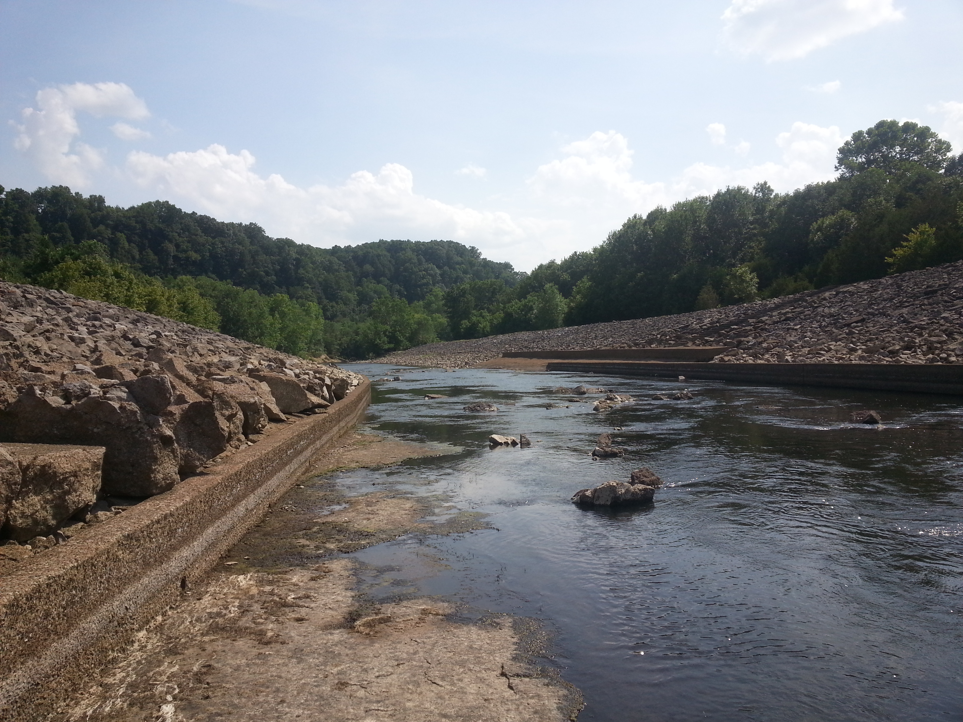
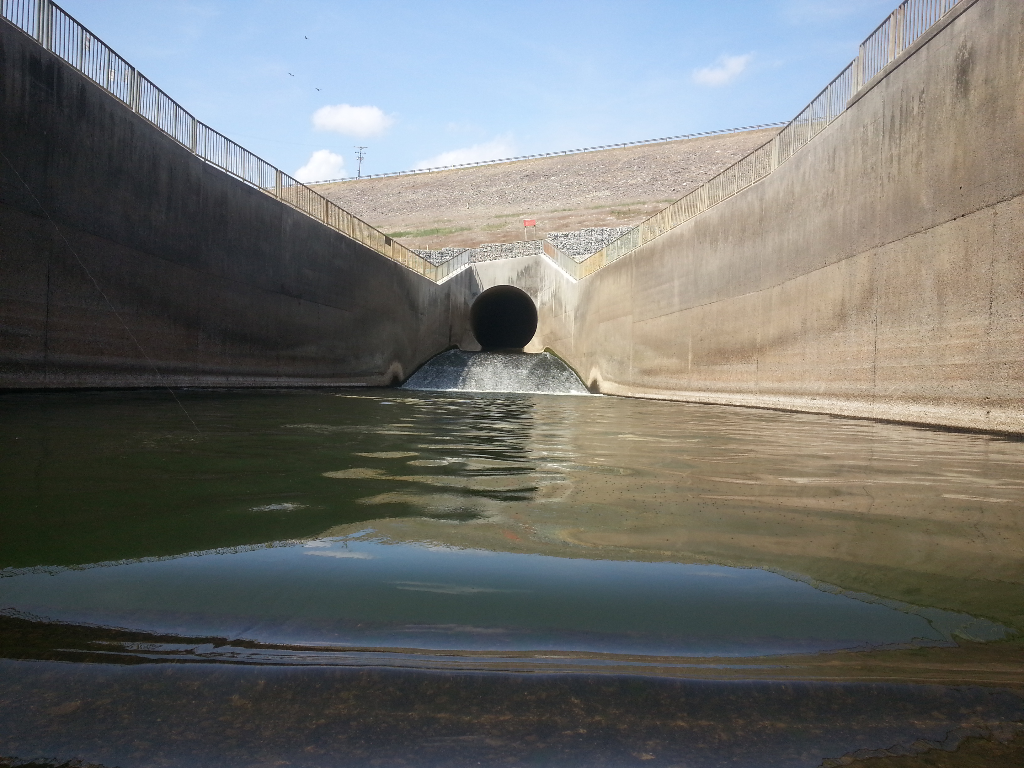
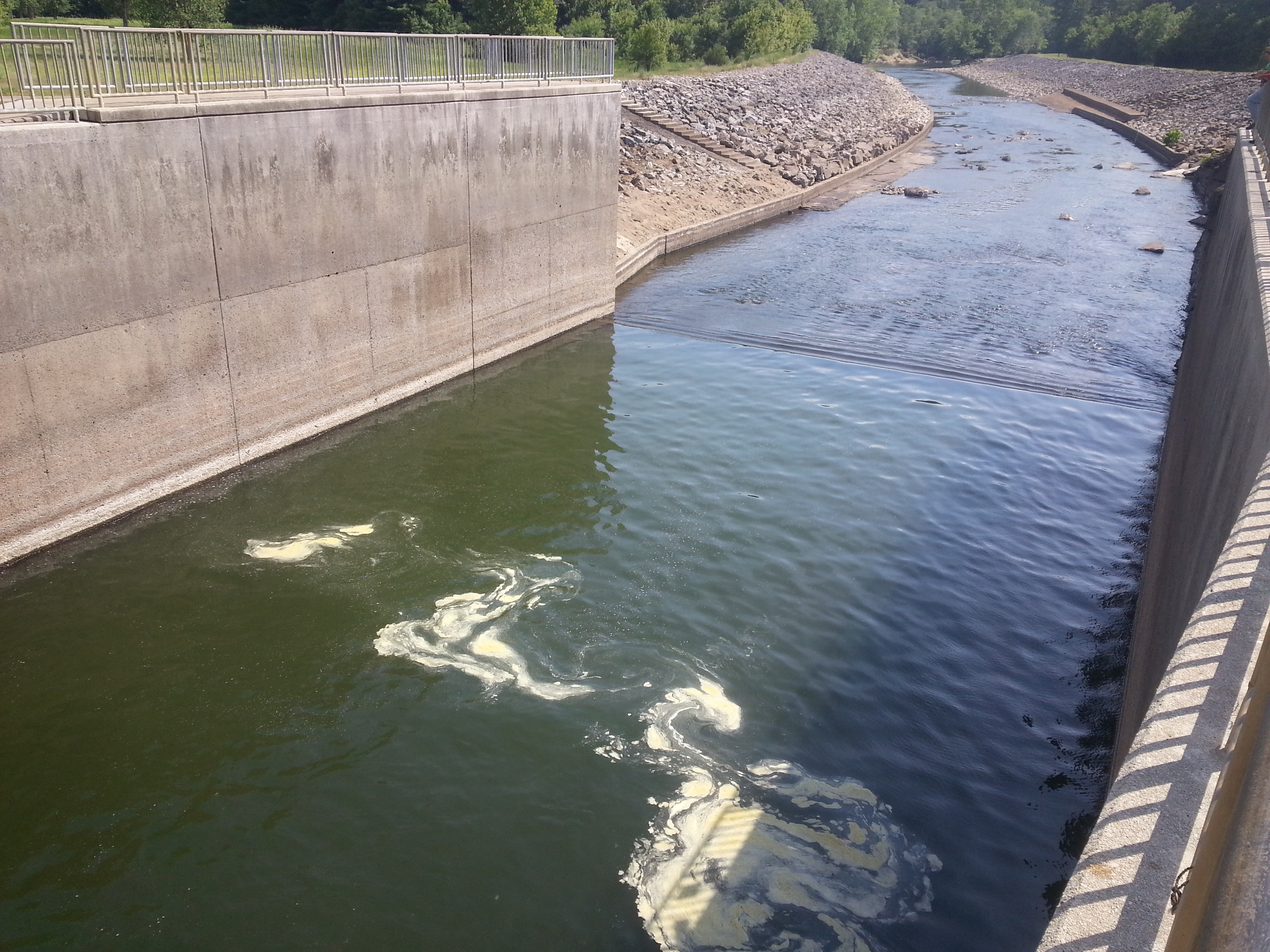
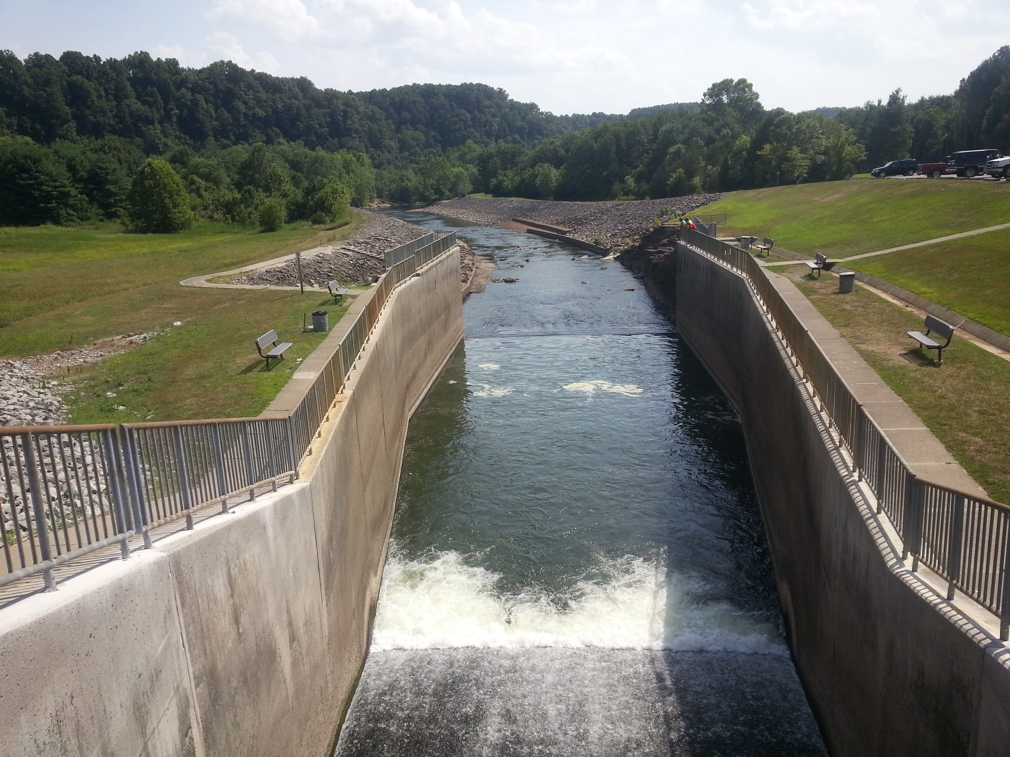
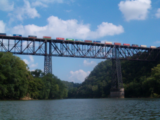
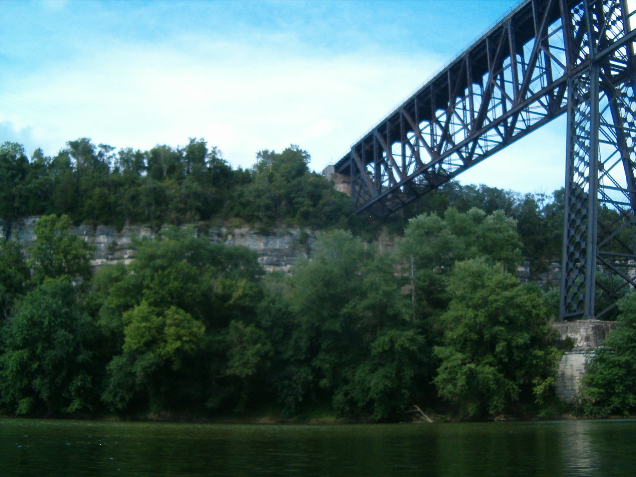
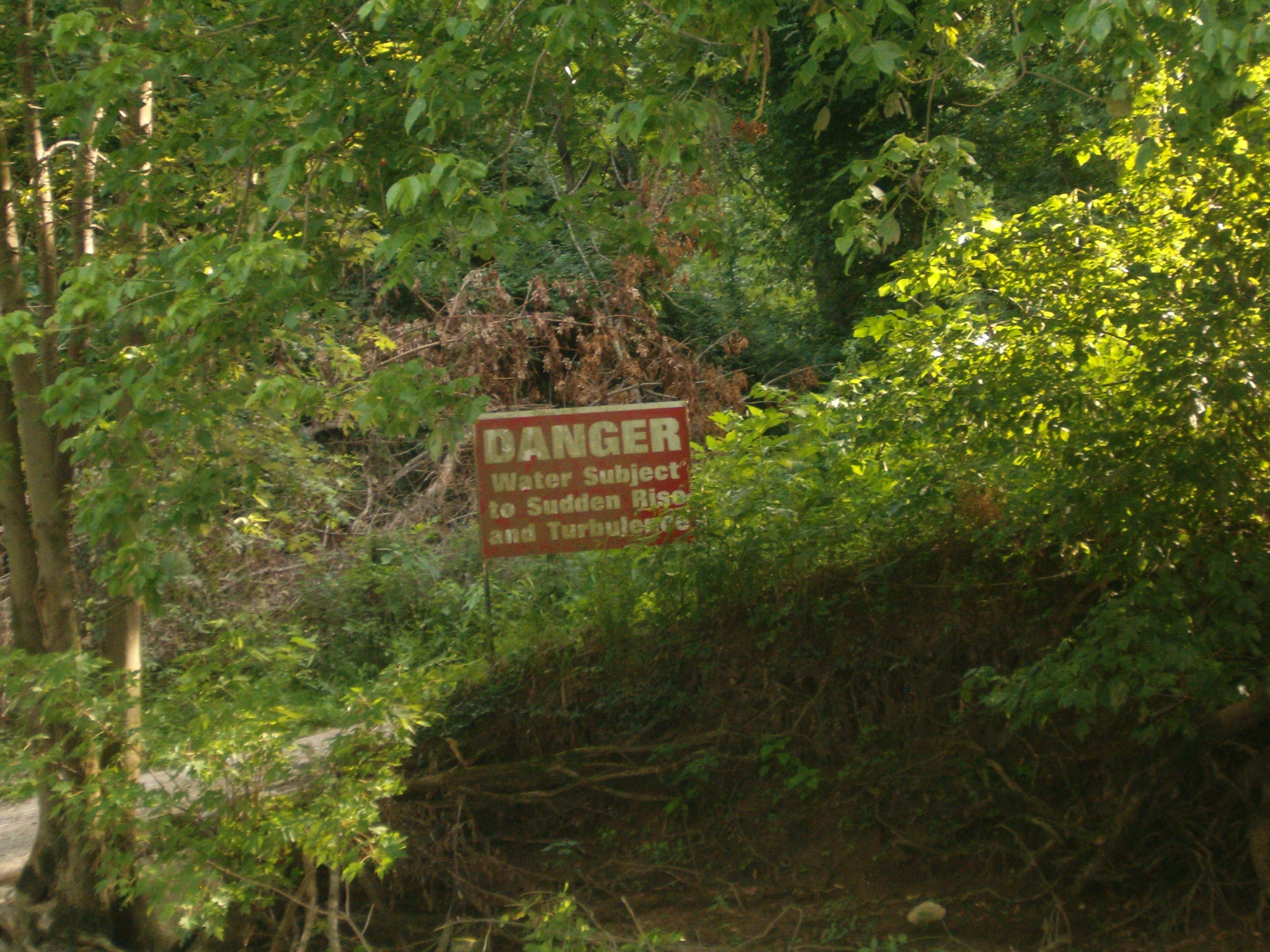
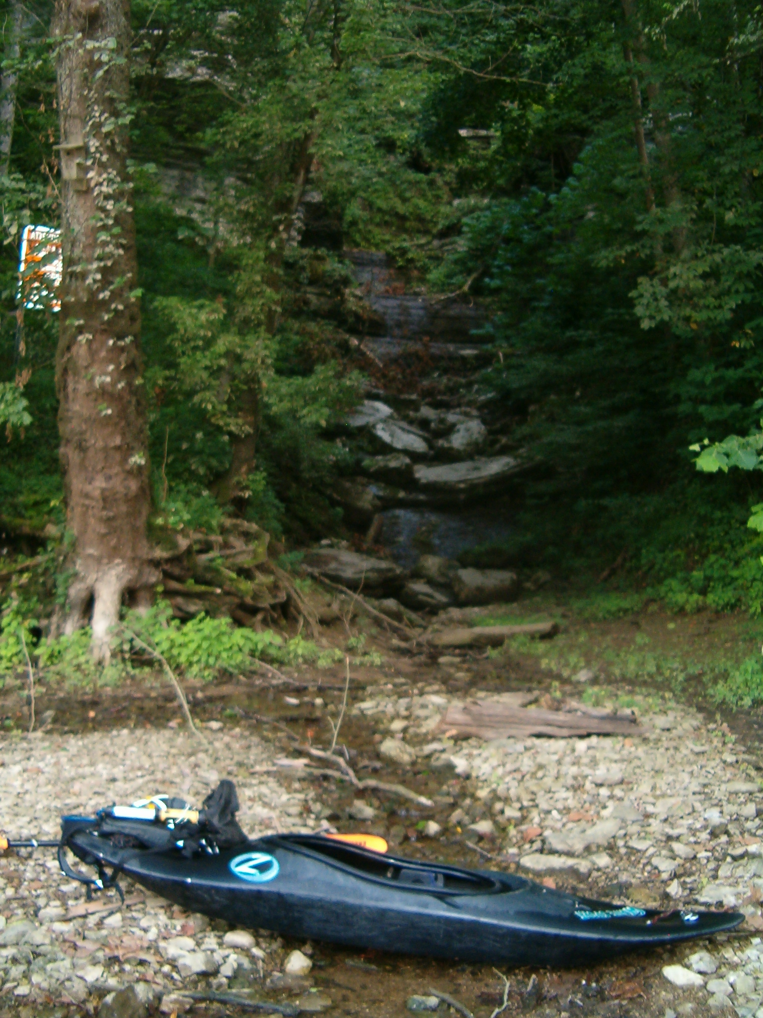
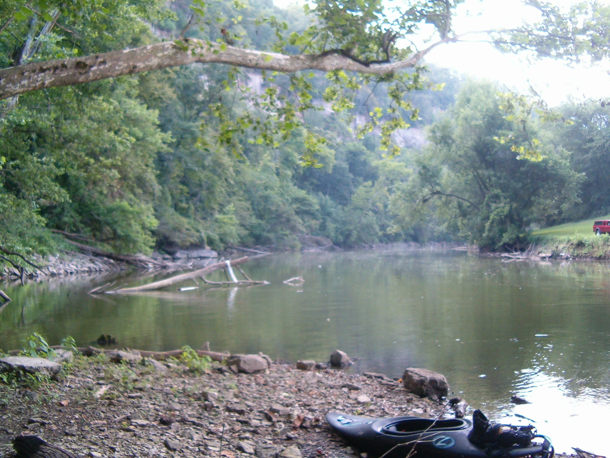
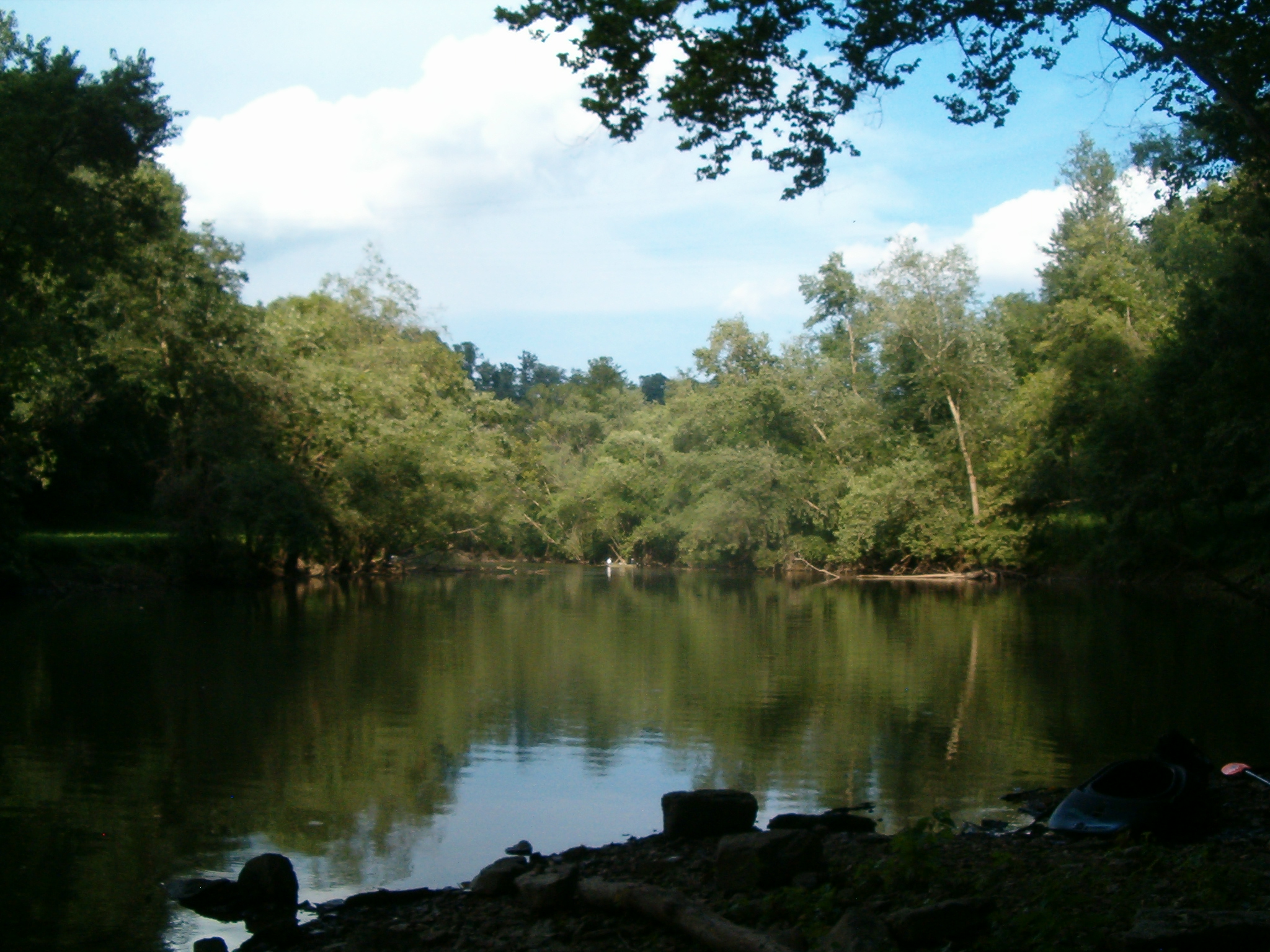
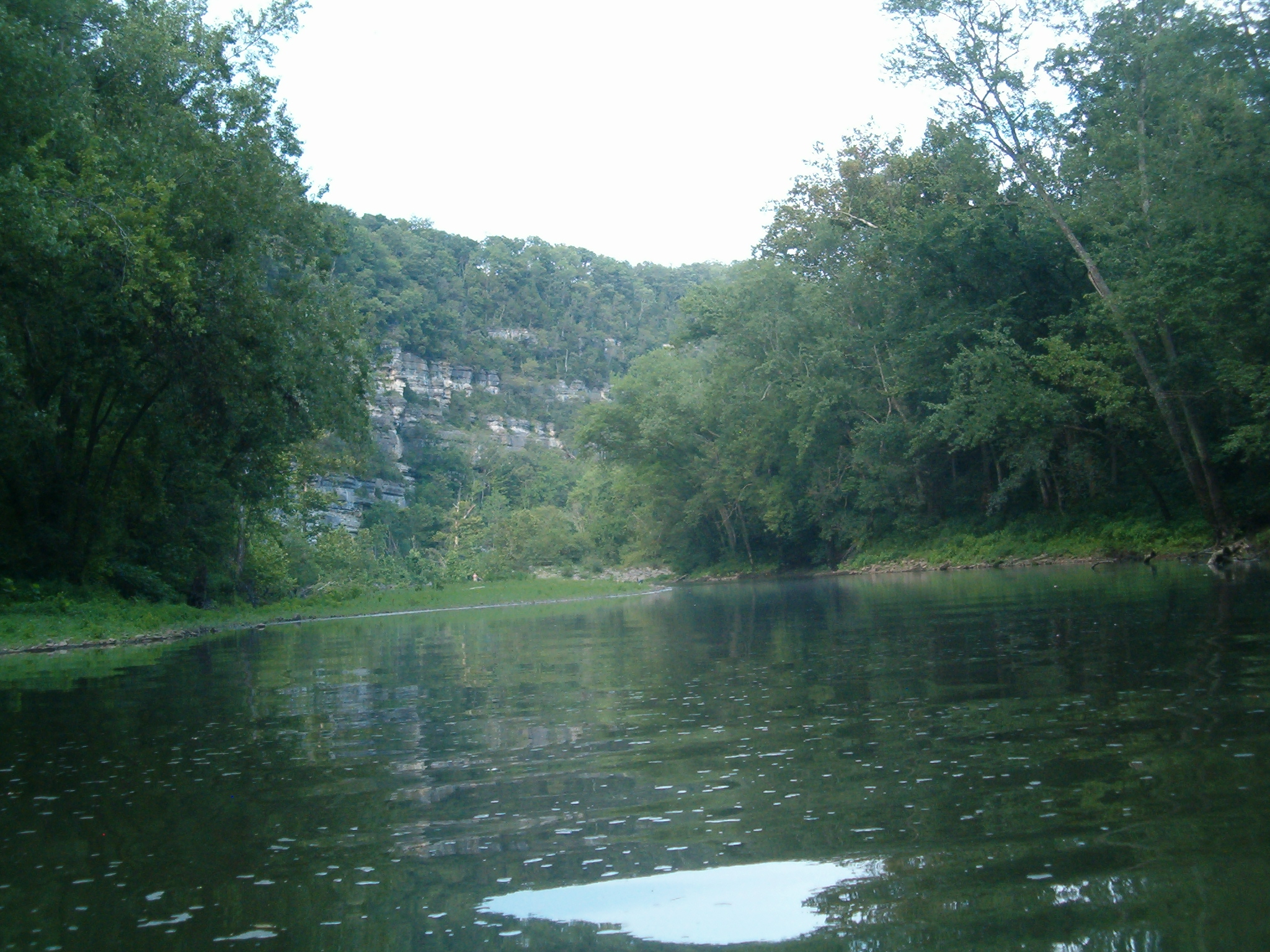
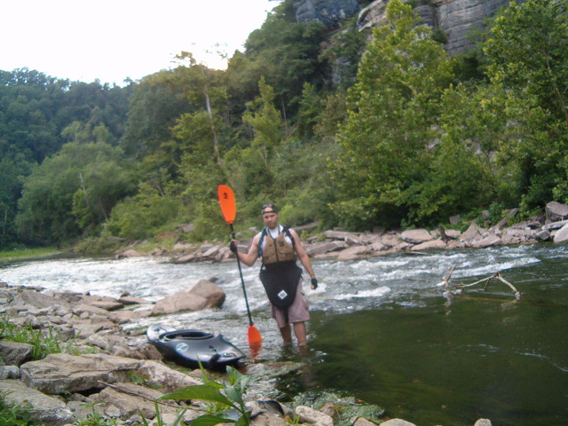
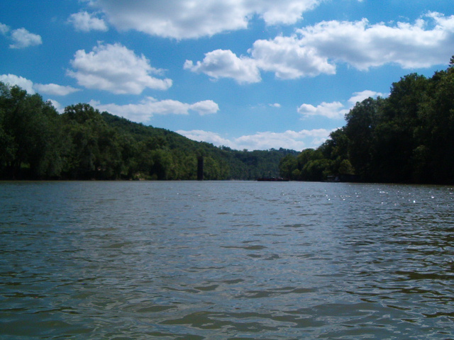
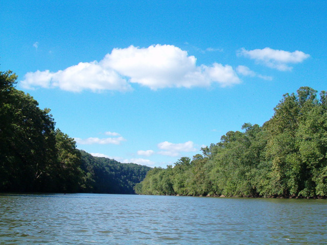
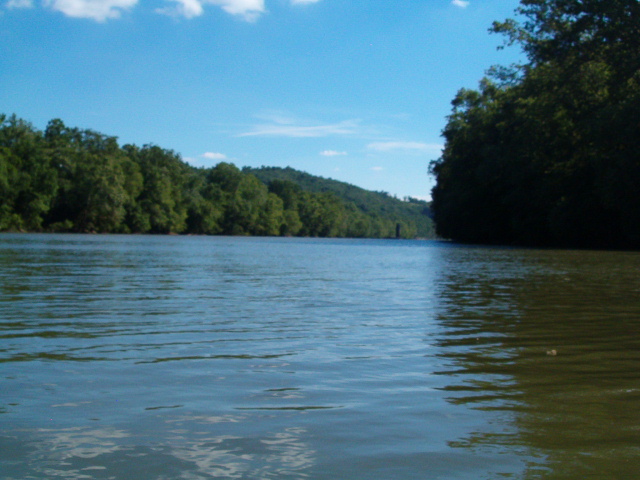
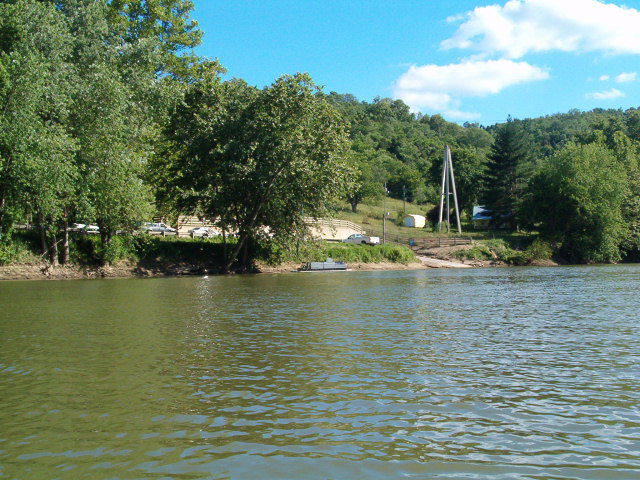
Of course, being alone meant this time I could check it out from the river in my Kayak. Kayaks don’t need boat ramps for obvious reasons, but my Tahoe certainly needed a parking spot, and the only launch point to be found was about five miles up stream. No big, except it meant I was pushing for time; I just made it as the show was starting.

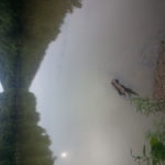
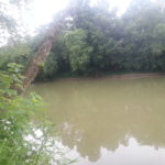
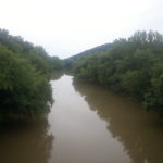
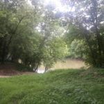
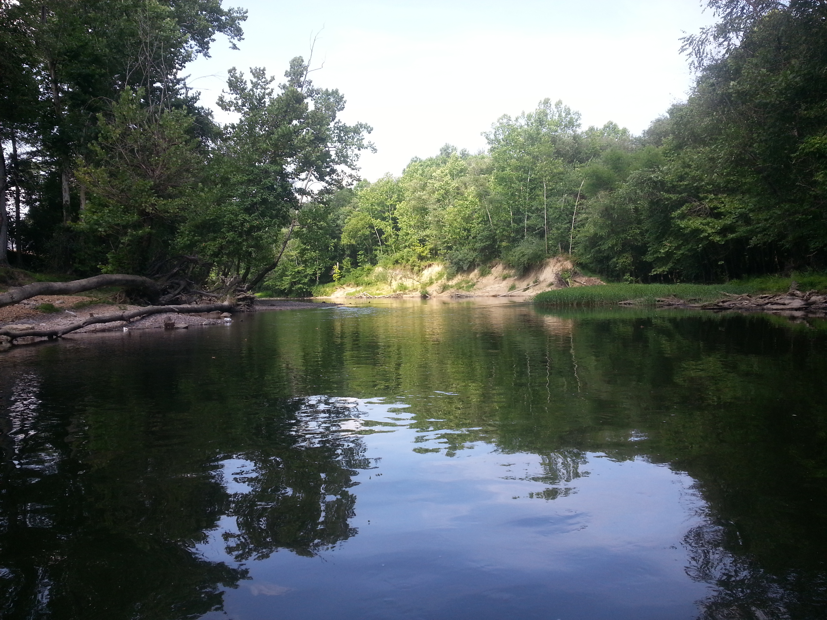
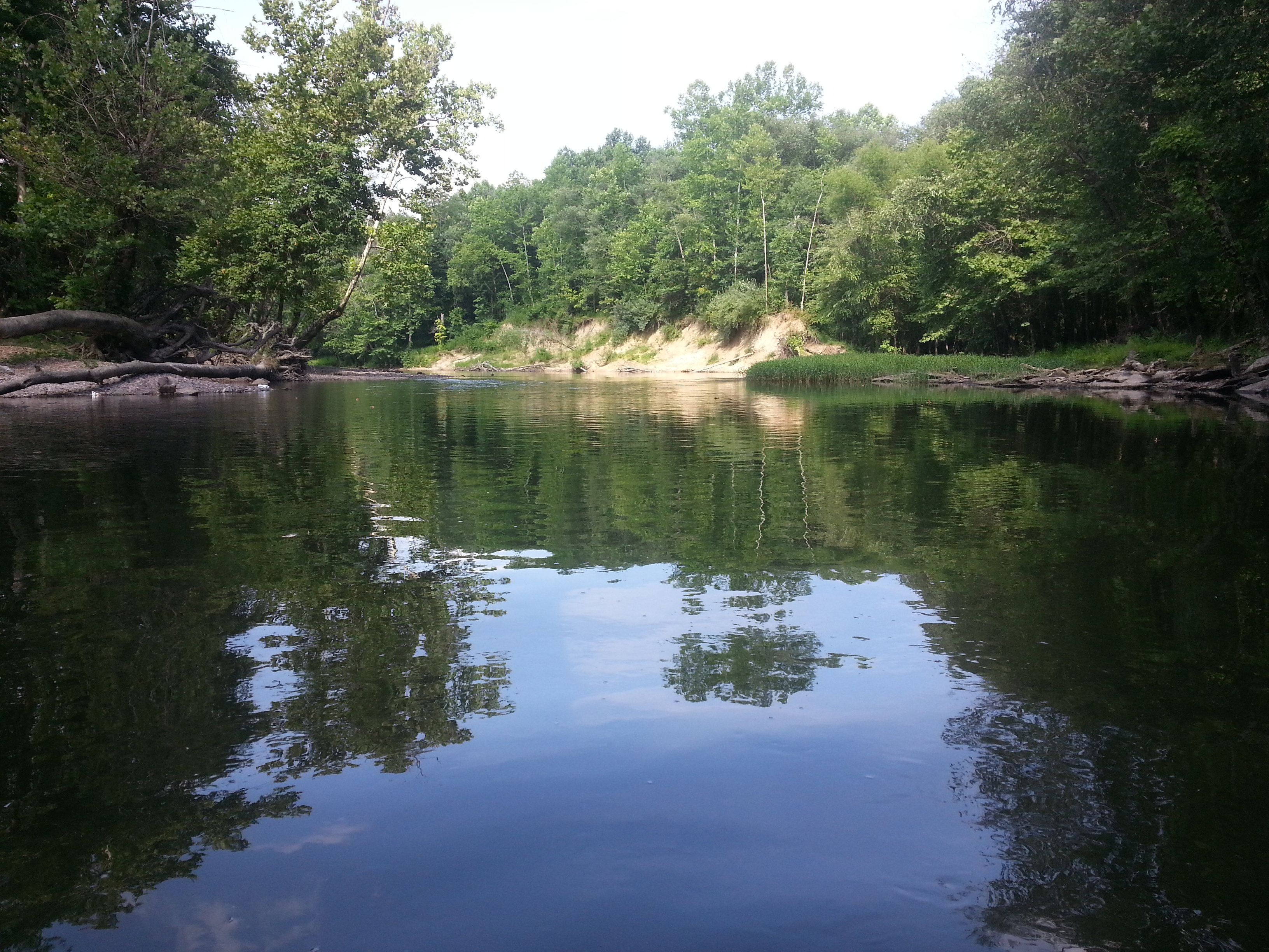
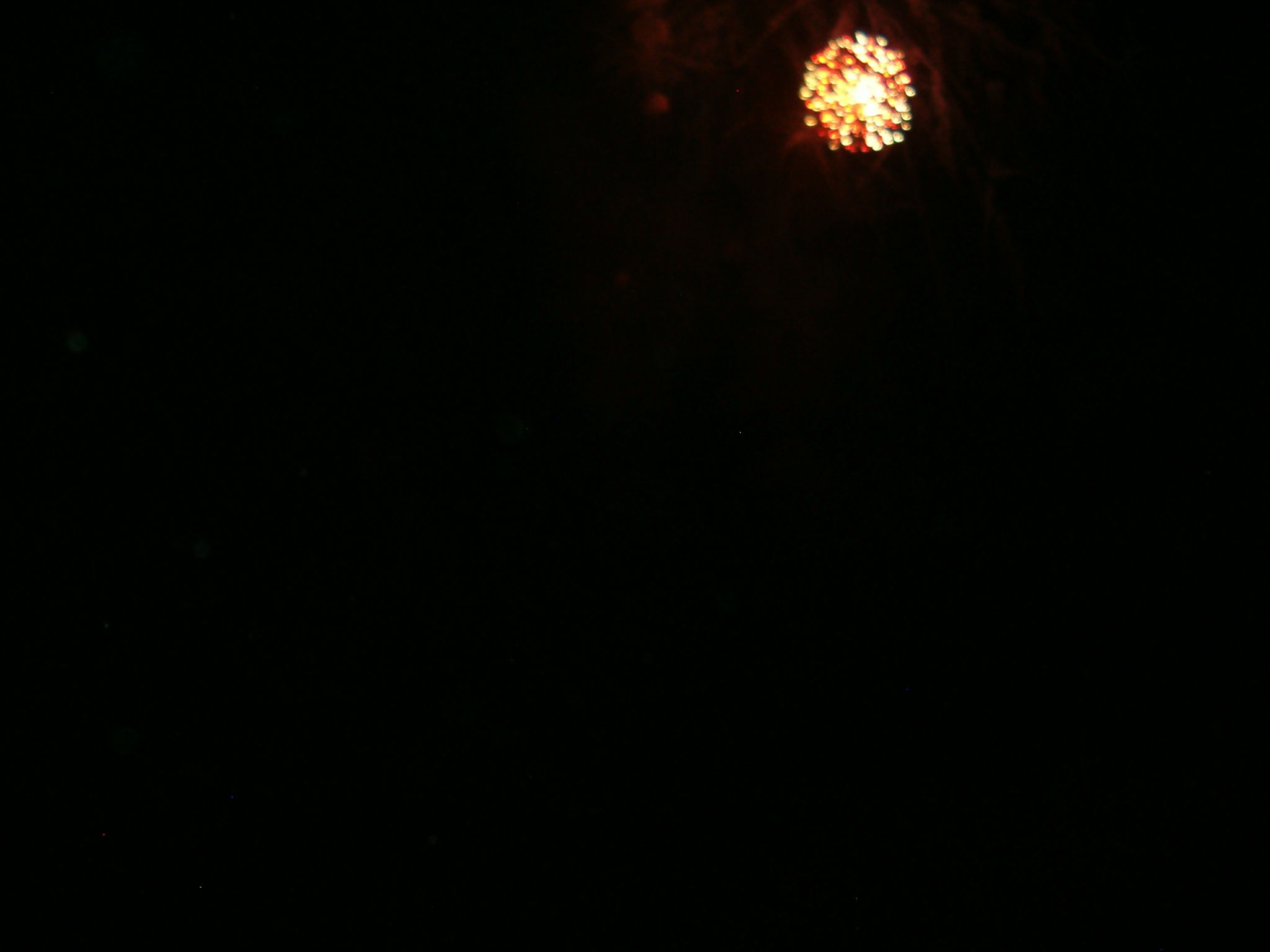
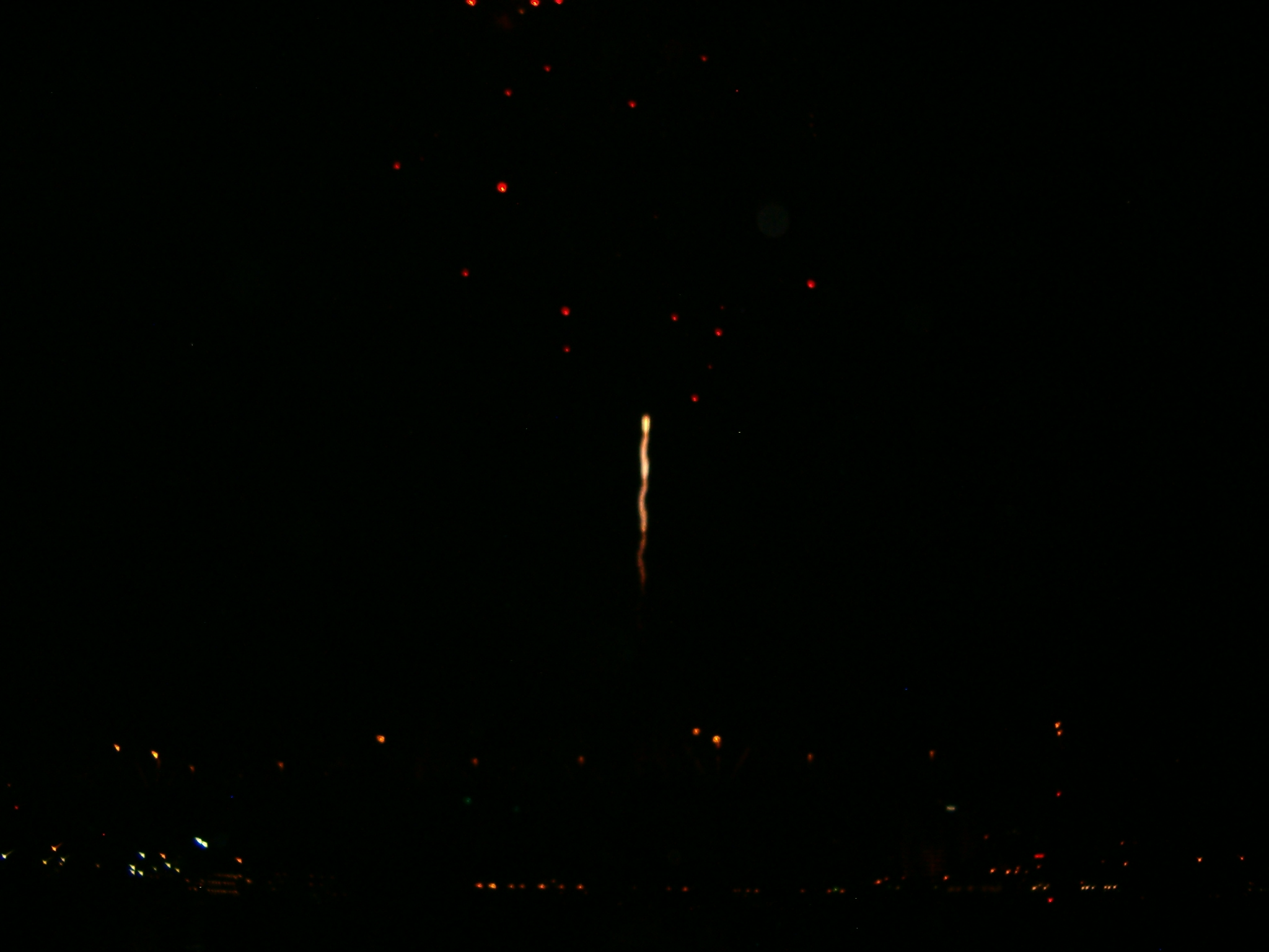
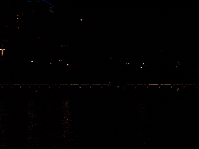
The cool part was having the best vantage point of anyone on the river. Powered boats aren’t allowed in the staging area, but I was (or rather, there wasn’t much they could do to keep me out). It was a spectacular show. Funny enough, my Kayak attracted a lot of attention too – boaters stopped to take pictures as they passed me on the way there, and I got a ton of requests from onlookers at the shore park to do some tricks and such. I was happy to oblige, as well as could be done on flat water anyway. Afterward, I ported on the Ohio side at the park to stretch my legs and chatted a bit with them.

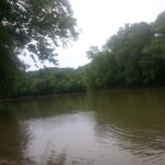
And then it all went south, literally. While waiting for the mass exodus of cabin cruisers, speedboats, and their likely as not heavily inebriated pilots to finish up, I decided I’d cross over to the south bank, get some ice cream, and join the remaining festival at the Newport Aquarium Plaza.

But walking up the shore directly below the aquarium, I slipped on an ottoman sized hunk of concrete and fell directly on my toes, breaking three and spraining my right ankle. Soft sole river shoes are usually sure footed, but as you might guess, they don’t offer any support or protection if you do happen to falter. Adding insult to injury was the piece promptly tipped and rolled over to pin my foot down. Naturally, this took place in full view of hundreds of people, some of whom rushed down to help, but by that time I had already gotten a little hot under the collar and chucked it downriver myself. Probably not the smartest thing to do on a busted foot, but hey, at least I was free.

Afterward, I managed to pop two toes back in place, but the third just wasn’t going. Paddling back to my vehicle wouldn’t have been that hard per say, but the hour or so of travel time would mean that much more swelling and difficulty getting the toe fixed. So after getting some nearby bikers to watch my kayak, I took a cab back to my truck, drove it to the Kayak, and then headed home. On the way I stopped at Saint Francis and had them snap everything into place.

Of course, that was only after three x-rays, two shots, and wheeling me about the place on a crash cart equipped stretcher for three hours. For a broken toe. They also tried to give me a Vicodin prescription; thanks but no thanks. It’s stuff like this why I hospitals. All I needed was a set of more experienced hands then my own to snap the bone back and make sure there wasn’t any more serious damage. Nothing more or less; in a practical word, it wouldn’t have taken two minutes, and certainly didn’t call for narcotics.

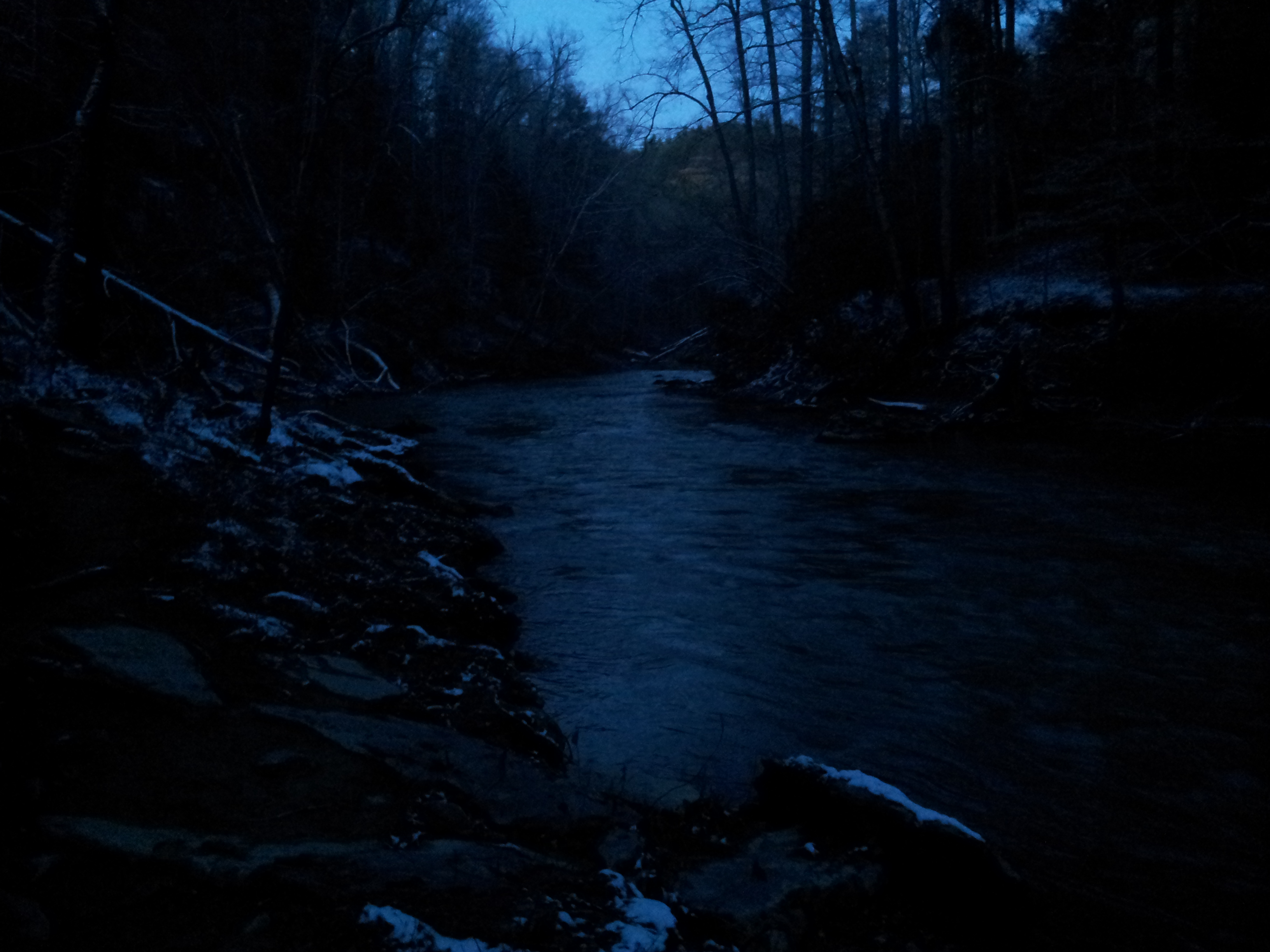
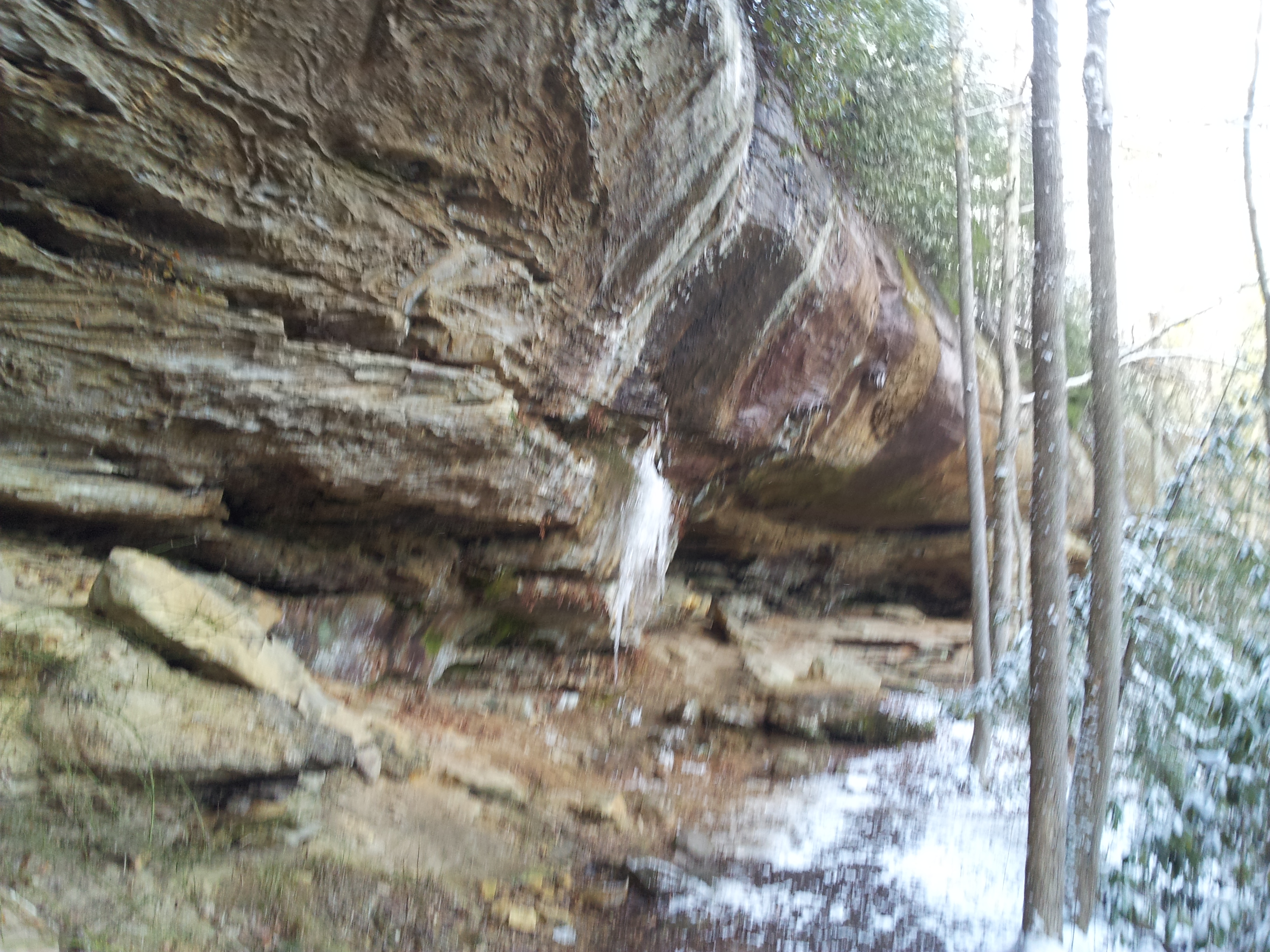
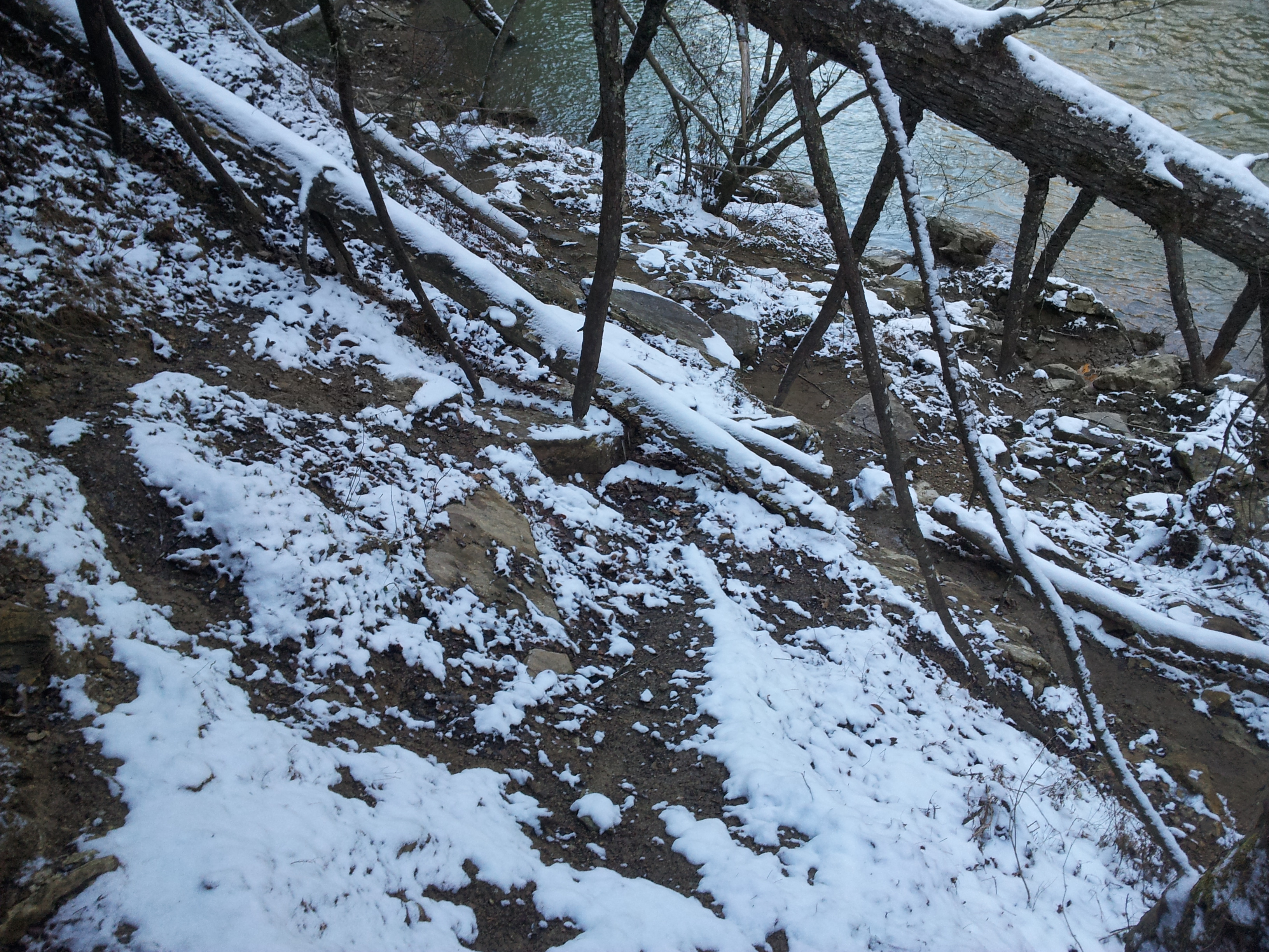
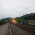
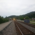
Anyway, it was still fun all in all. Next year I plan to be back, only this time I’ll plan ahead and have more time to spare. It’s too bad none of the pictures I took came out right. My little camera just sucks for low light.

Until next time!
DC

Videos: Fireworks On The Ohio, Fireworks On The Ohio 2

Valley View Run

Kayak

2010-06-06 – I’m having some difficulty coming up with new places to explore lately. I’ve already seen just about every trail, mark, road and river within any practical distance for a day trip. Heh, guess I’m somewhat a victim of my own success. 😛

Sunday however I had a mild epiphany about a fairly obvious place I have overlooked: The Kentucky River Palisades near Valley View Ferry. The ferry alone is pretty interesting in that it is the oldest all season ferry still operational in the U.S. (chartered in 1785).

I had hoped to put in at the ferry, paddle to Raven’s Run Park about eight river miles upstream, and then return. Unfortunately I was delayed by some other issues and didn’t make it until late in the afternoon. A strong headwind and my kayak taking on water through its drain plug didn’t help matters either. Still, I was able to explore a few miles around and will defiantly be back.

While I’m usually more into white water or riding a flood wave, it was nice to relax and ply some flat water for a change. Headwind aside, the weather couldn’t have been nicer, and I met some interesting people at the ferry.  Among them were the ferry crew themselves, who offered to delay for a moment so I could port from their ramp instead of the steep bank.