Busted feet aside, the night time run I took for July 4th was actually more fun then I expected. There is just something very serene about being on the water at night.
Owing to that, I thought heading back to the hometown for some night paddling on Cave Run would be even better. No city lights and no dodging barges. Typical though, the feeler I sent on Facebook to gather some people to join me got utterly ignored. Even the CRACK club didn’t take any interest.
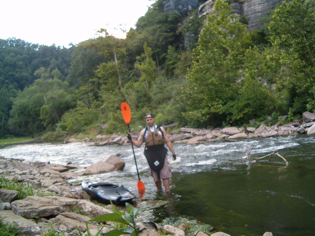
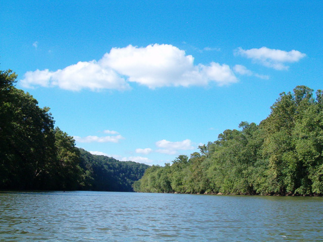
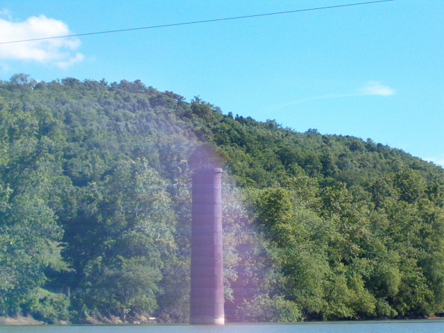
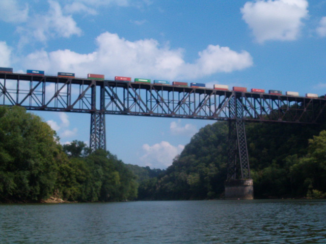
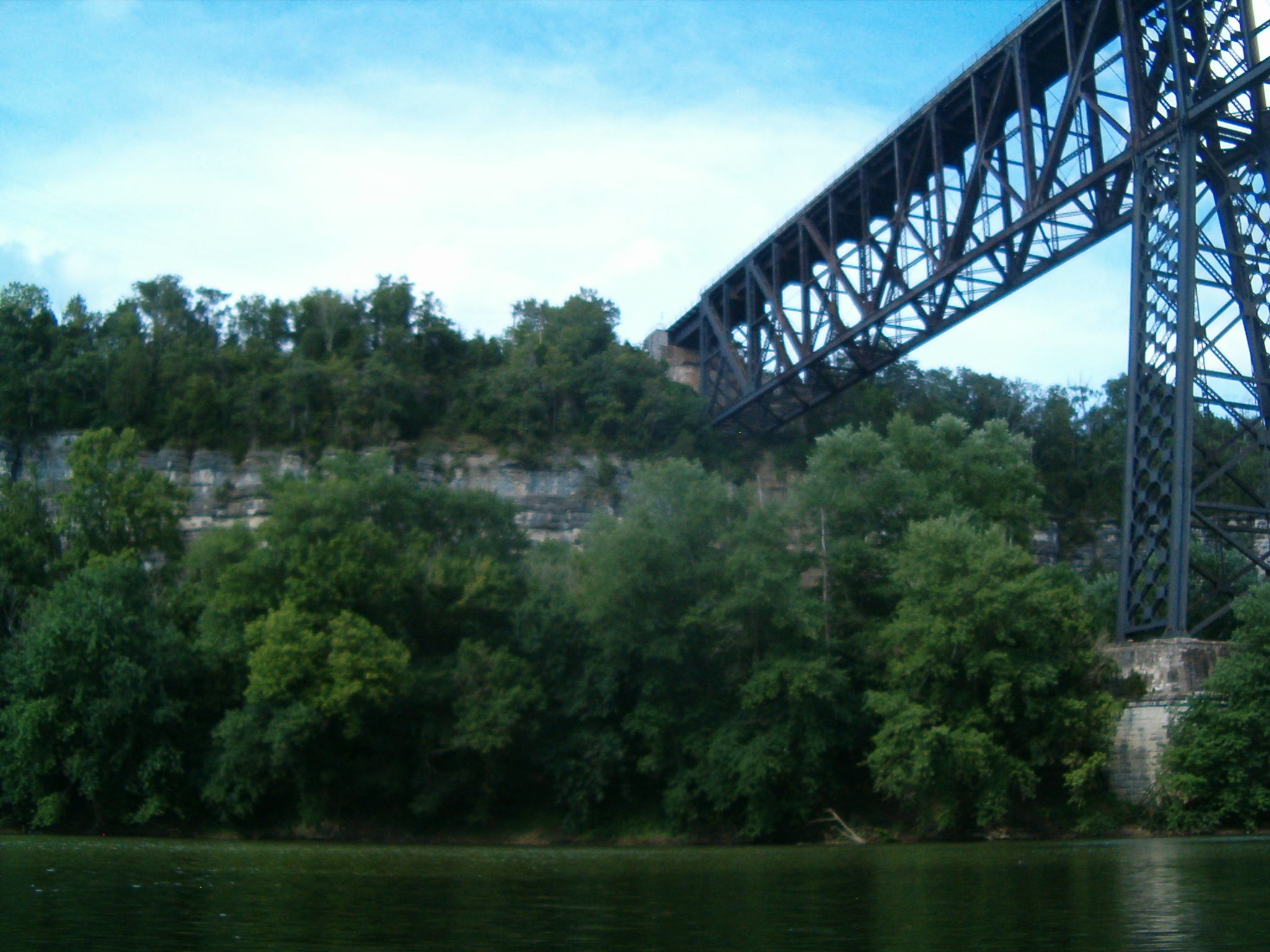
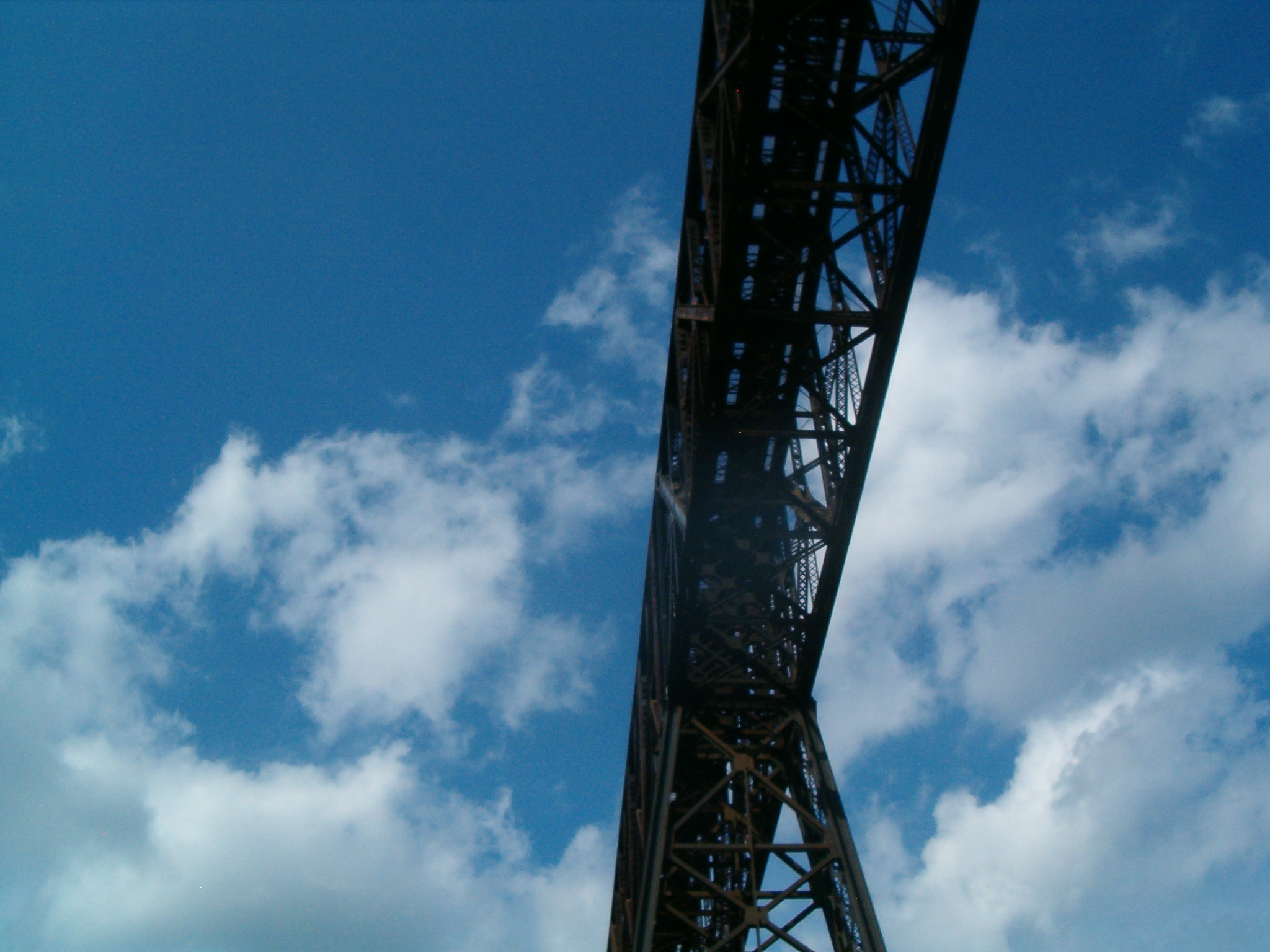
So instead I decided to explore the Dix River via High Bridge Ramp. A simple run really, but it had a lot of interesting features. The first of course is High Bridge. You can’t appreciate the engineering accomplishment and scale without seeing it up close.
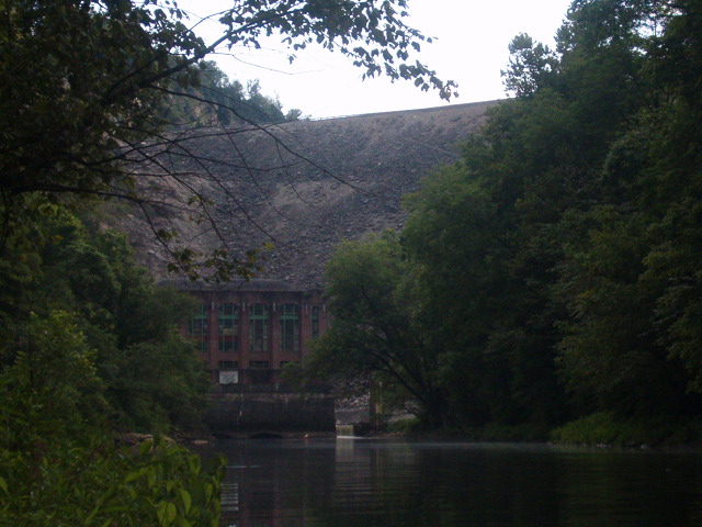
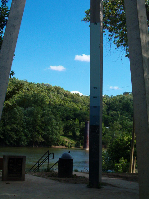
Next was the Dix River confluence. At 77 miles long, it’s the only major river left tributary of the Kentucky River. Two miles upstream from the confluence is the Dix Dam, which forms Herrington Lake. It’s a relic today and looks the part, but when built it was an engineering marvel and technically still is. At the time it was the largest earth fill dam in the world.
One of the downsides of my exploring style is that I usually know everything about a place before I get there. Since I’m nearly always alone, I have to make sure I’ve done my homework on an area first. The Dix is an exception, and that is what made it interesting. There is almost no detailed information available. All surrounding land is privately owned by local residents or Kentucky Utilities and public access by road is all but non existent. Even Google Earth doesn’t have a good image due to the power plant’s exhaust plume.
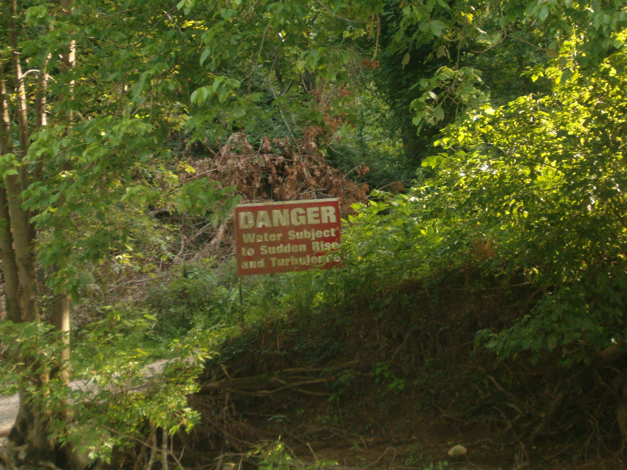
This meant I had no idea what I would see. I imagined the approach to be nothing but concrete and rock fill, with a generally “artificial” feel. I guessed the outlet was probably a sluice like spillway tunnel feeding an impassible churning suppression bay similar to Cave Run’s. Considering the barbed wire security KU employs in the surrounding area, one would think it would all be blocked by water fences and guarded anyway. I had also pictured the area to be devoid of interest by anyone other then myself. Who cares about exploring an obsolete dam on a river tributary in the middle of nowhere?
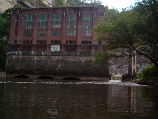
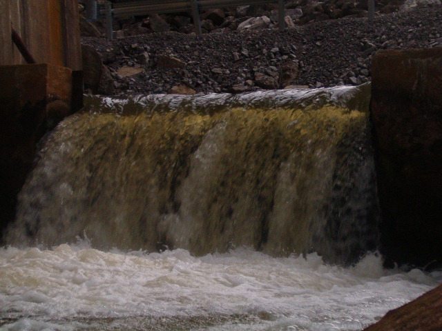
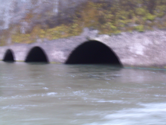
As it turned out, I was dead wrong on all counts. First, the dam itself is easily approachable; its powerhouse sits right on the water, and there is no sluice. Instead a fish ladder and spillover outlet provide drainage when the turbines aren’t in use. So rather then churning, the water is in fact perfectly flat. There is a still a strong exit current; far too dangerous for a swimmer. But it’s nothing a half decent paddler can’t overcome. The end result is that not only can you approach and touch the dam, you can actually go inside of it. I was able to paddle right under the outlet archways and look directly up the turbine exit pipes.
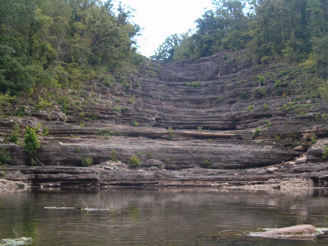
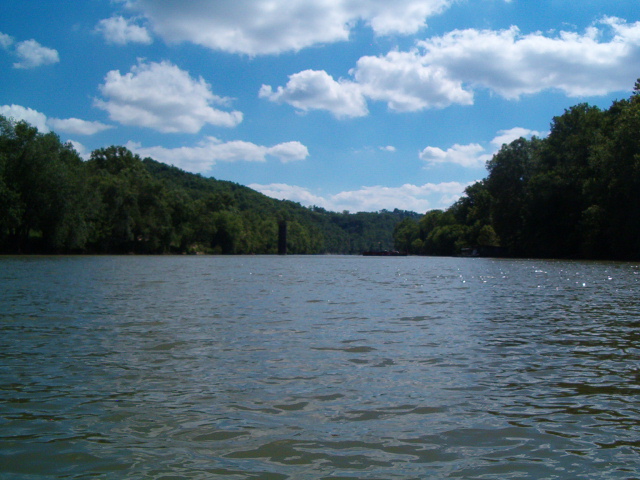
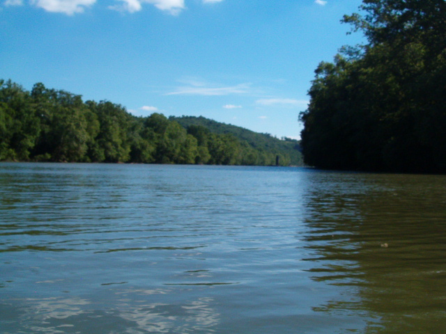
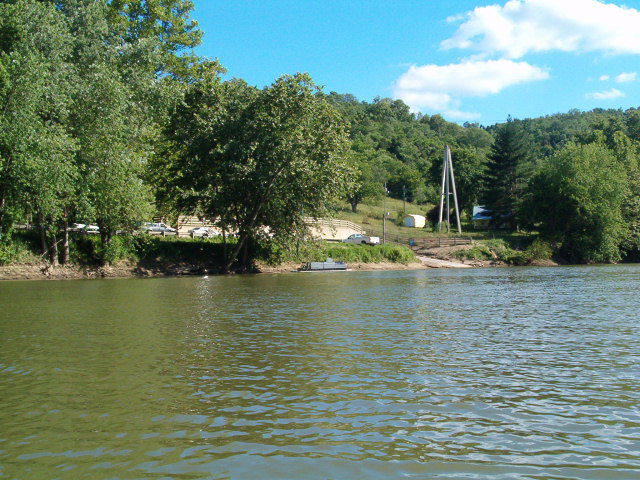
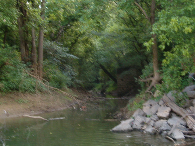
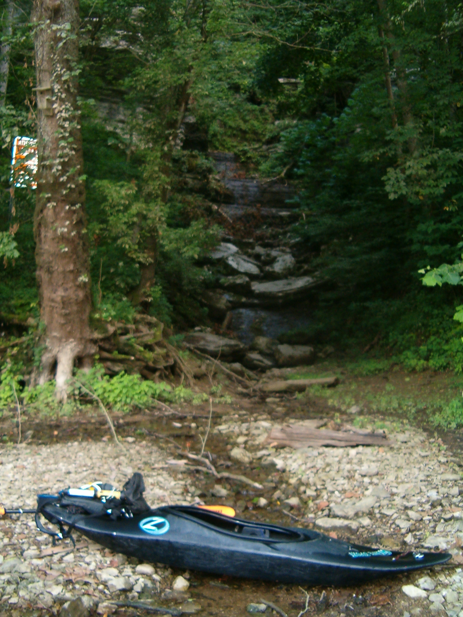
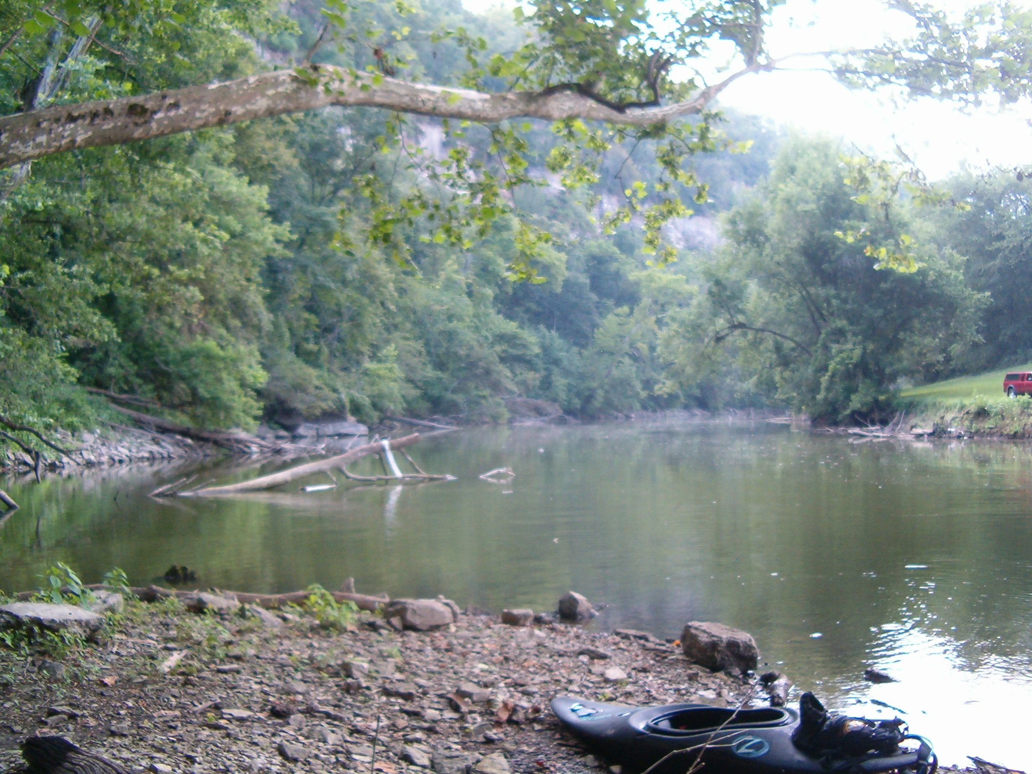
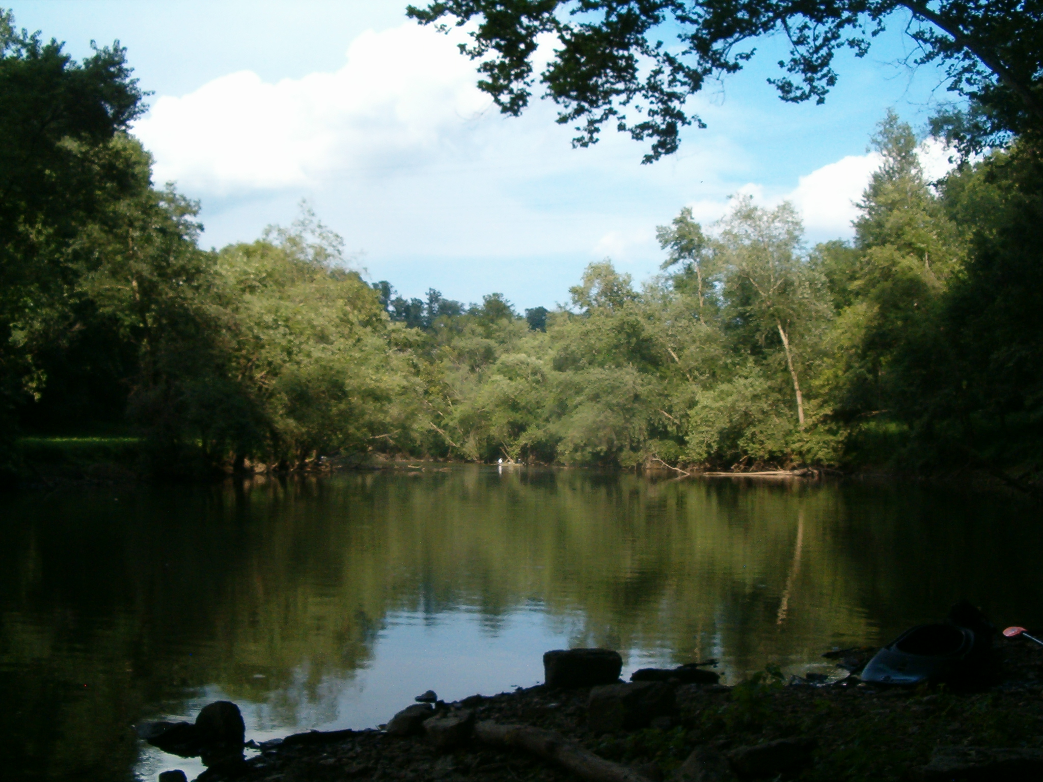
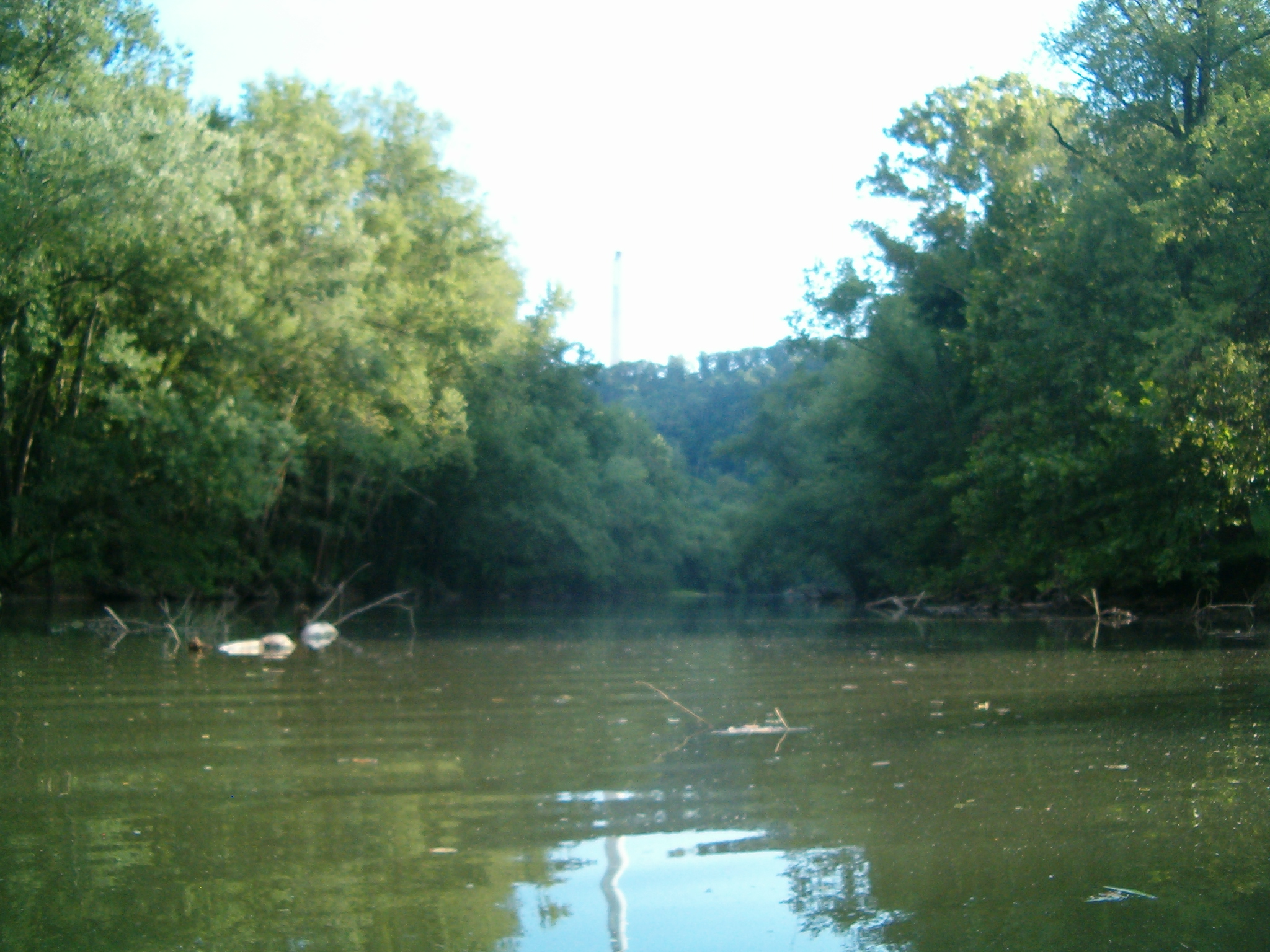
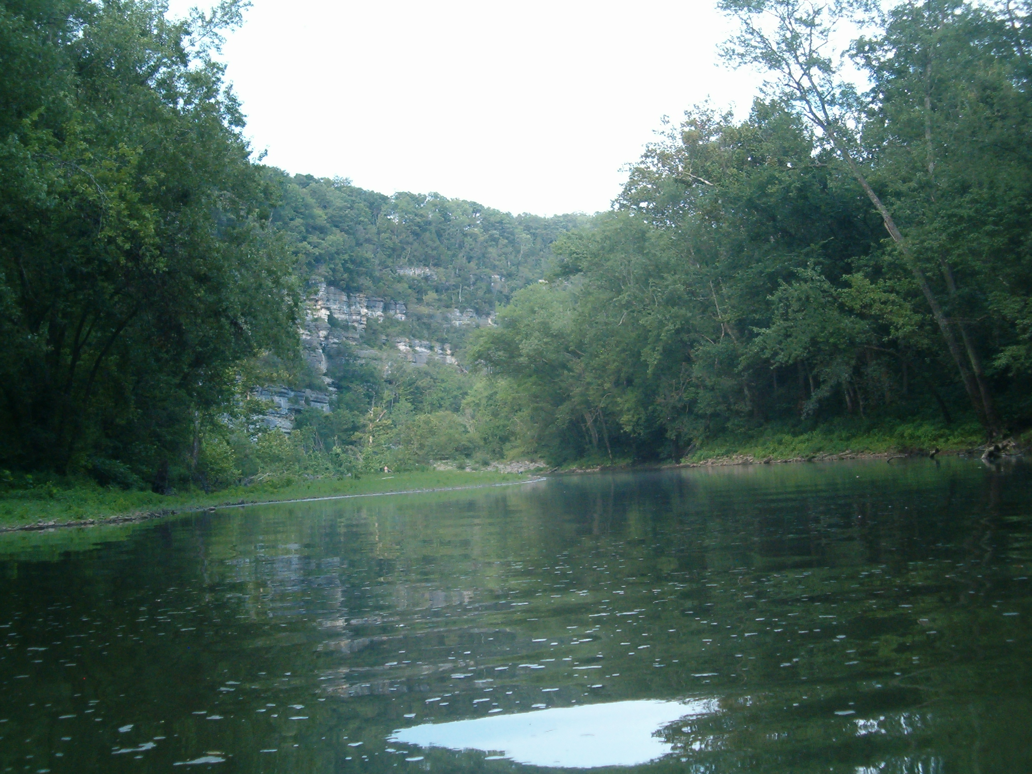
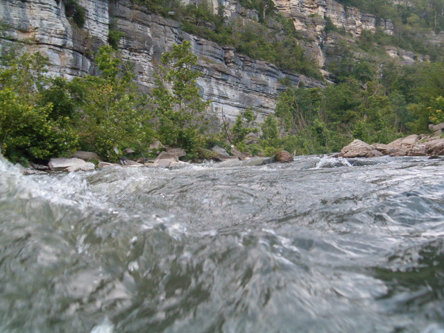
As for the area, it was anything but artificial. The geography has been virtually untouched, and if you didn’t already know the dam was there its sudden appearance around a bend would be quite a shock. Pristine palisades and waterfalls were at every turn, and wildlife was abundant. About the only evidence of anything man made was the water temperature change. As is typical for any deep lake discharge, the water is quite cold for some distance downstream. The change is very sudden, in less then 10′ of travel the temperature drops almost 30 degrees. This also causes a near perpetual cooling breeze and heavy fog at dusk. All in all a very pleasant experience compared to the “bath water” you’ll find in the Kentucky River.
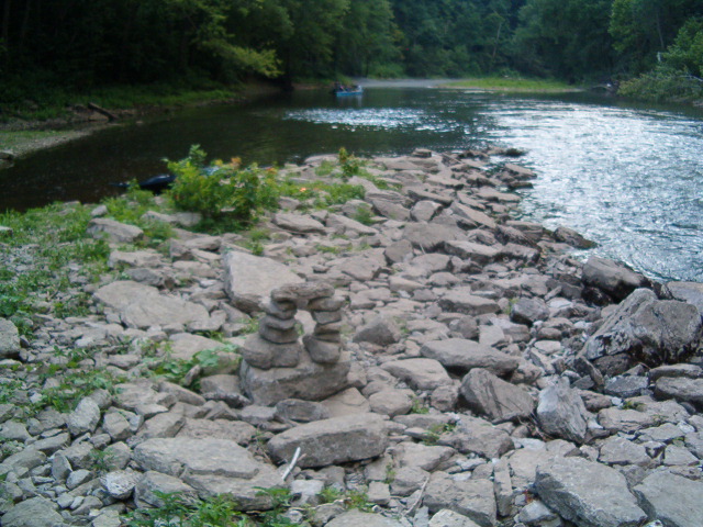
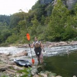
That cold water also brought me the last surprise. Company. As it turns out, it is a popular area for trout and hybrid anglers. I met about a dozen individuals on the way up. Most were in Johnboats; they could only get so far upstream due to some rapids. But one was a fellow kayaker named Dan who was fishing at the dam basin. Dan is a veteran of the area and had put in at the same ramp I did. After some further exploring on my part and fishing on his, we headed back down stream together at dusk. I’m used to running solo, but it’s nice to have some company now and again. A storm popped up on us just as we got started back, but thankfully it mostly blew over.
A good day overall. It was well past dark by the time we made the halfway point back, but that was fine with me since I originally wanted to go after midnight in the first place. Dan tells me that had the moon not been out he would have probably stayed up river all night. According to him, the bass bite like crazy on moonless nights. I’m no angler, but I do like me some fish. I might have to head back one evening and give it a try.
DC
-
- Yours truly.